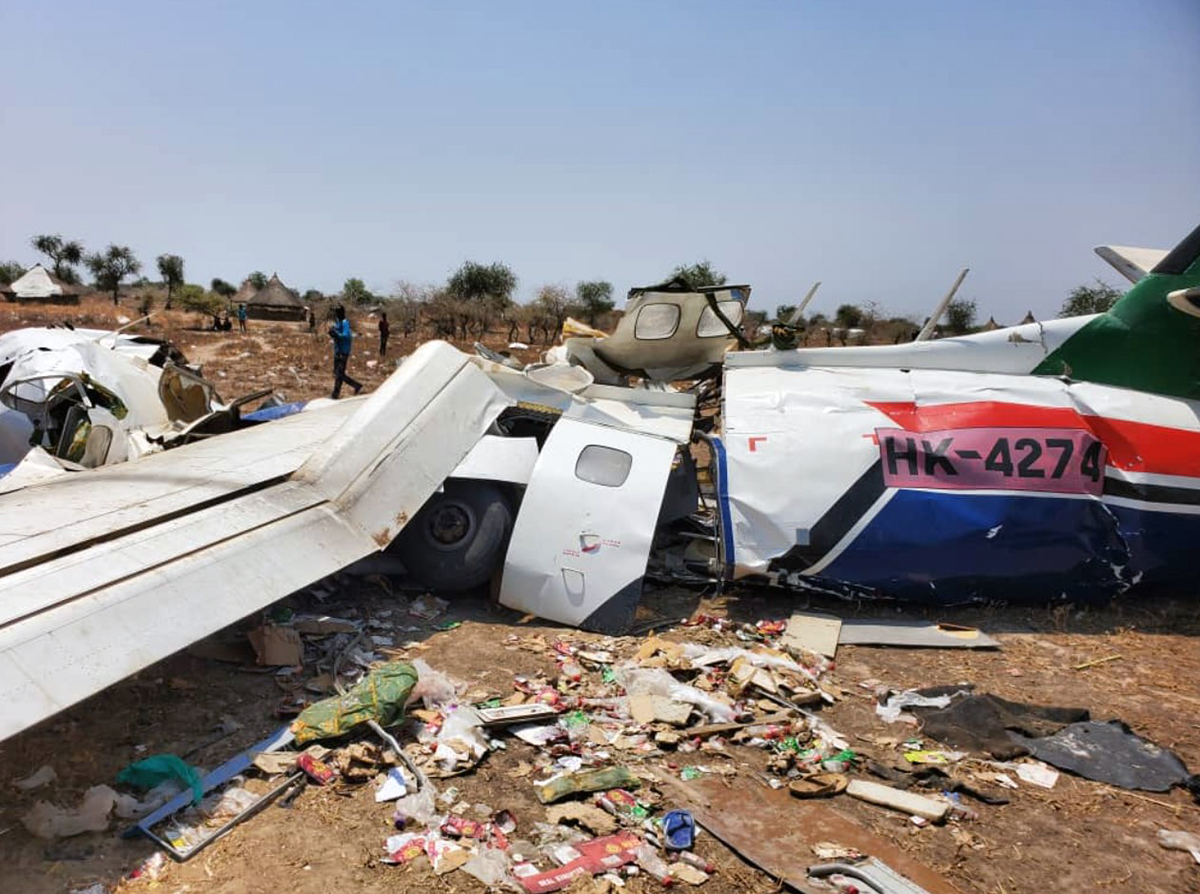
Crash of a Learjet 35A in Esquel: 3 killed

Date & Time: May 5, 2020 at 2238 LT
Type of aircraft:
Operator:
Registration:
LV-BXU
Flight Type:
Survivors:
Yes
Schedule:
San Fernando – Esquel
MSN:
35-462
YOM:
1982
Location:
Country:
Crew on board:
2
Crew fatalities:
Pax on board:
2
Pax fatalities:
Other fatalities:
Total fatalities:
3
Captain / Total flying hours:
1498
Copilot / Total flying hours:
2612
Aircraft flight hours:
11711
Aircraft flight cycles:
10473
Circumstances:
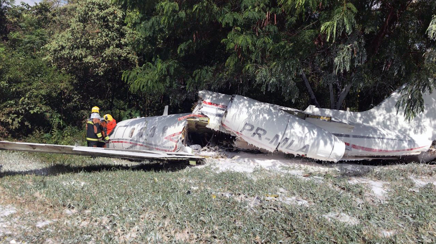
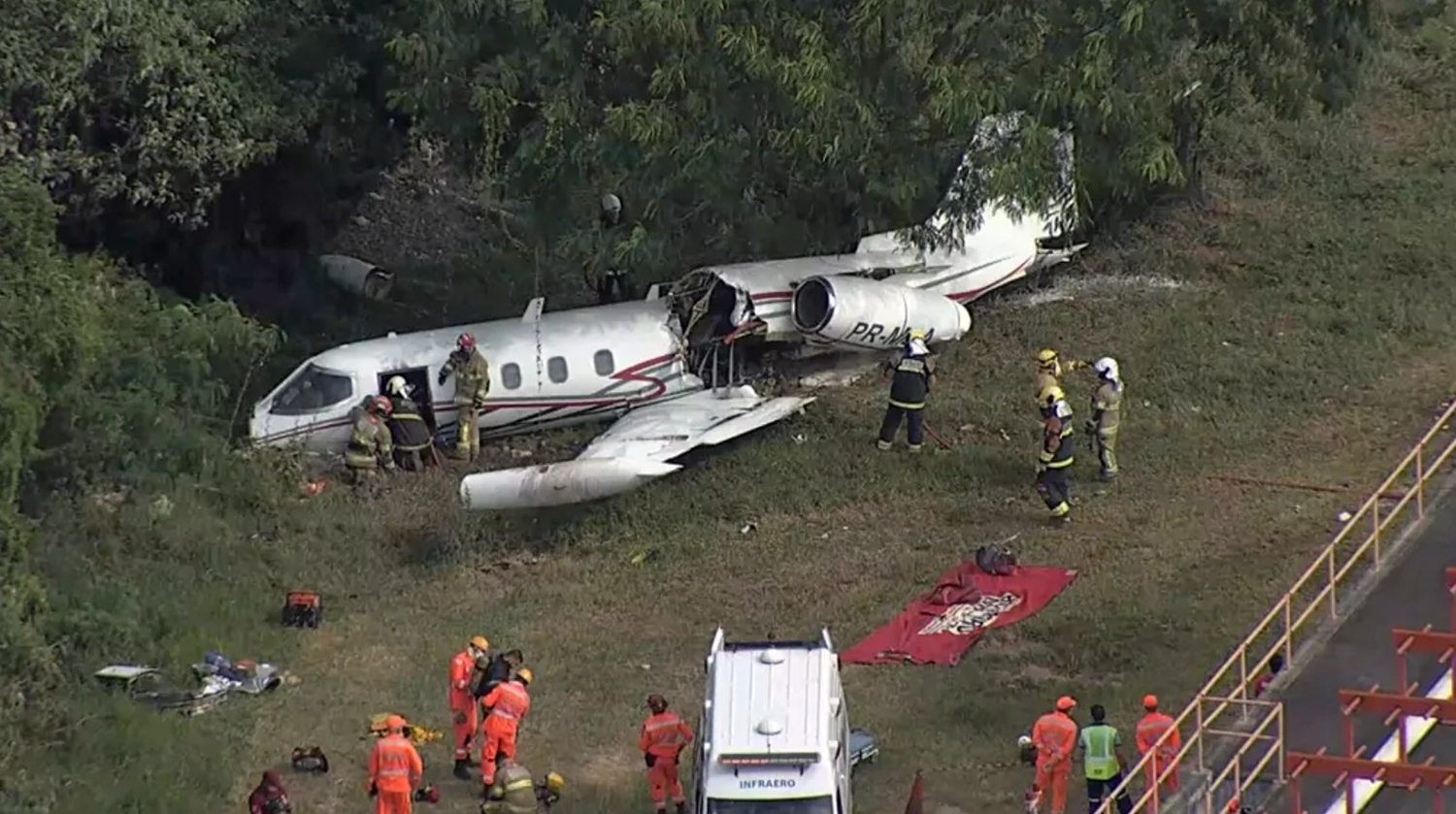
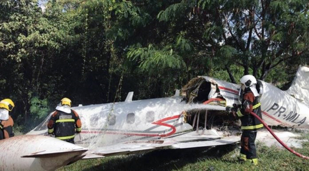
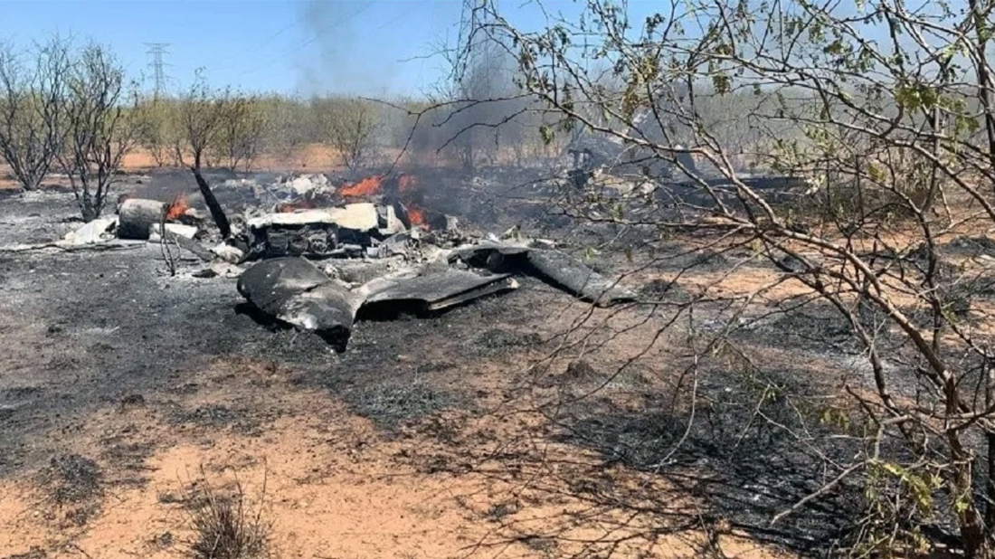
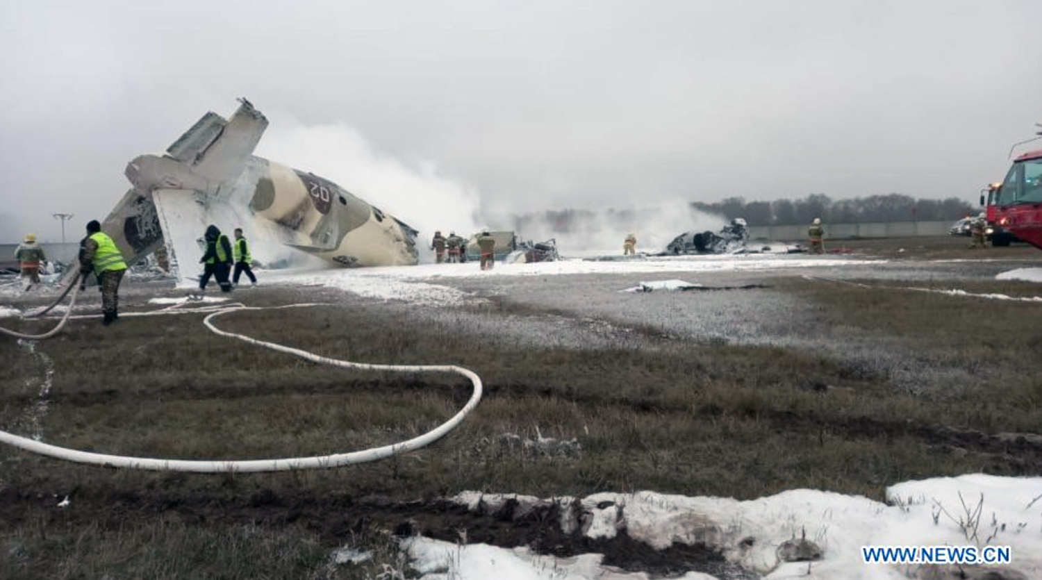
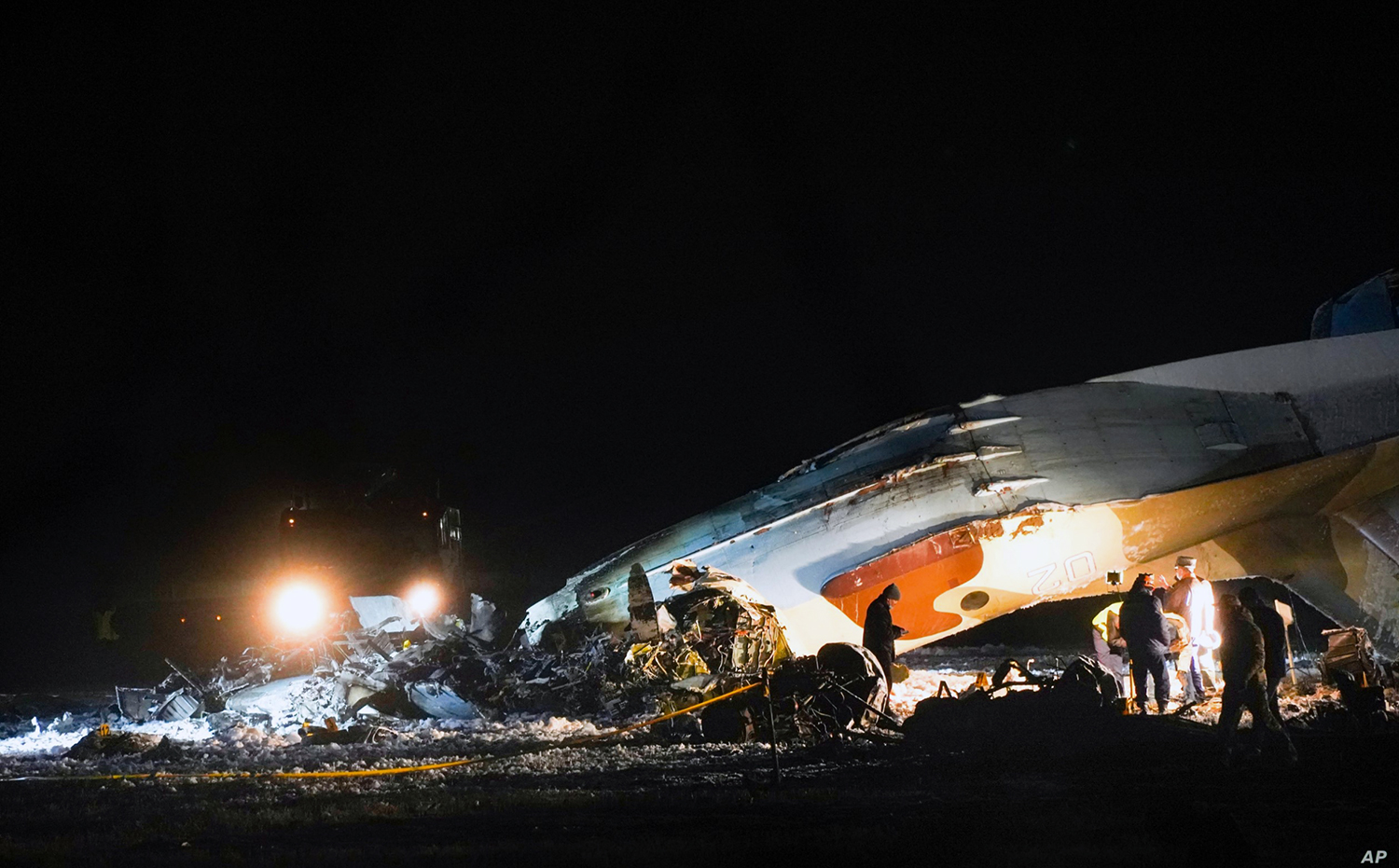
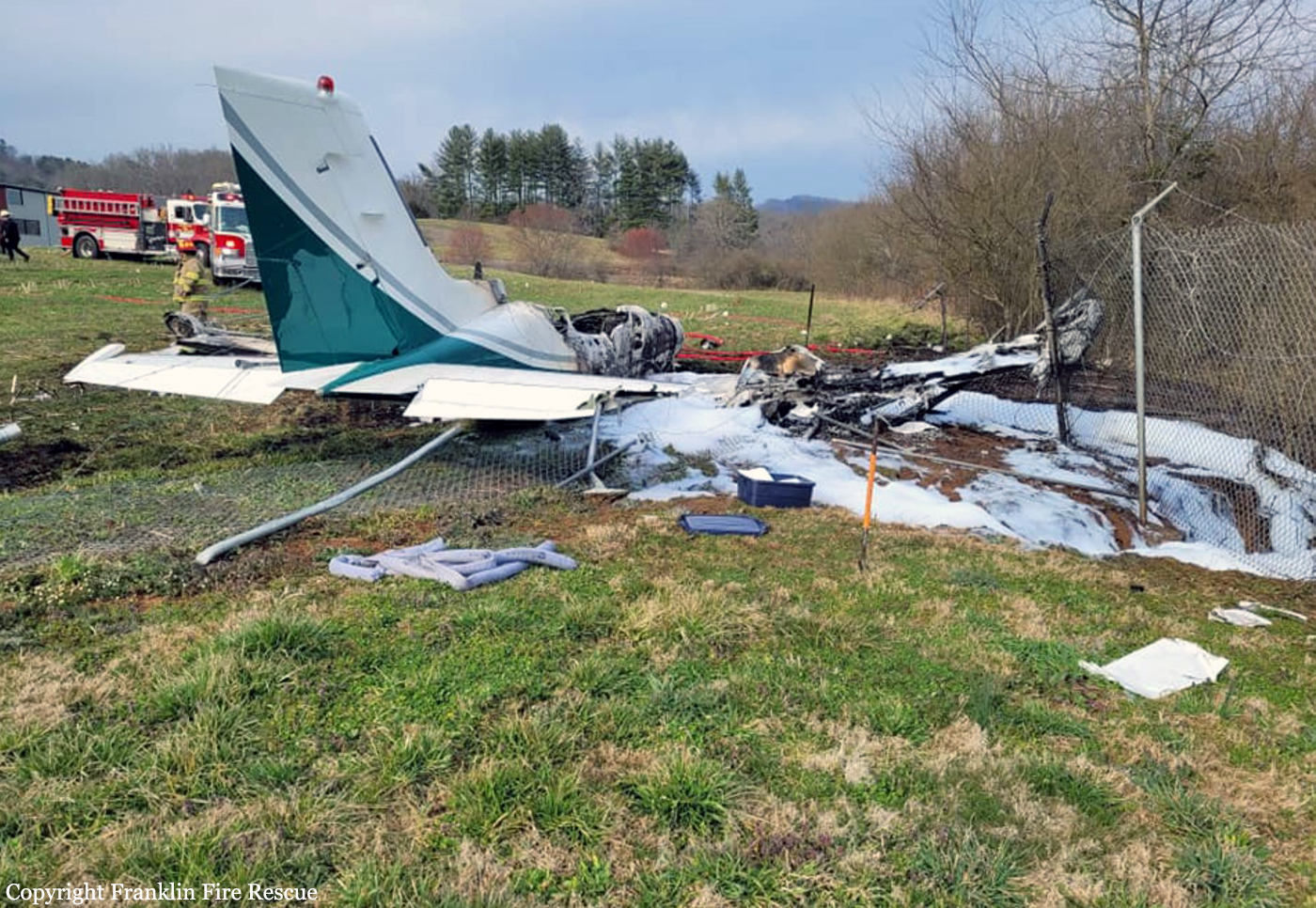
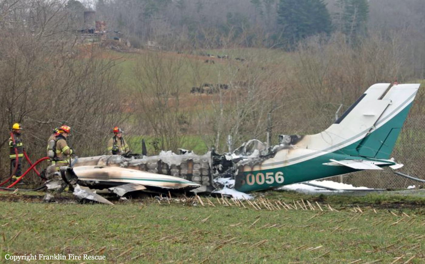
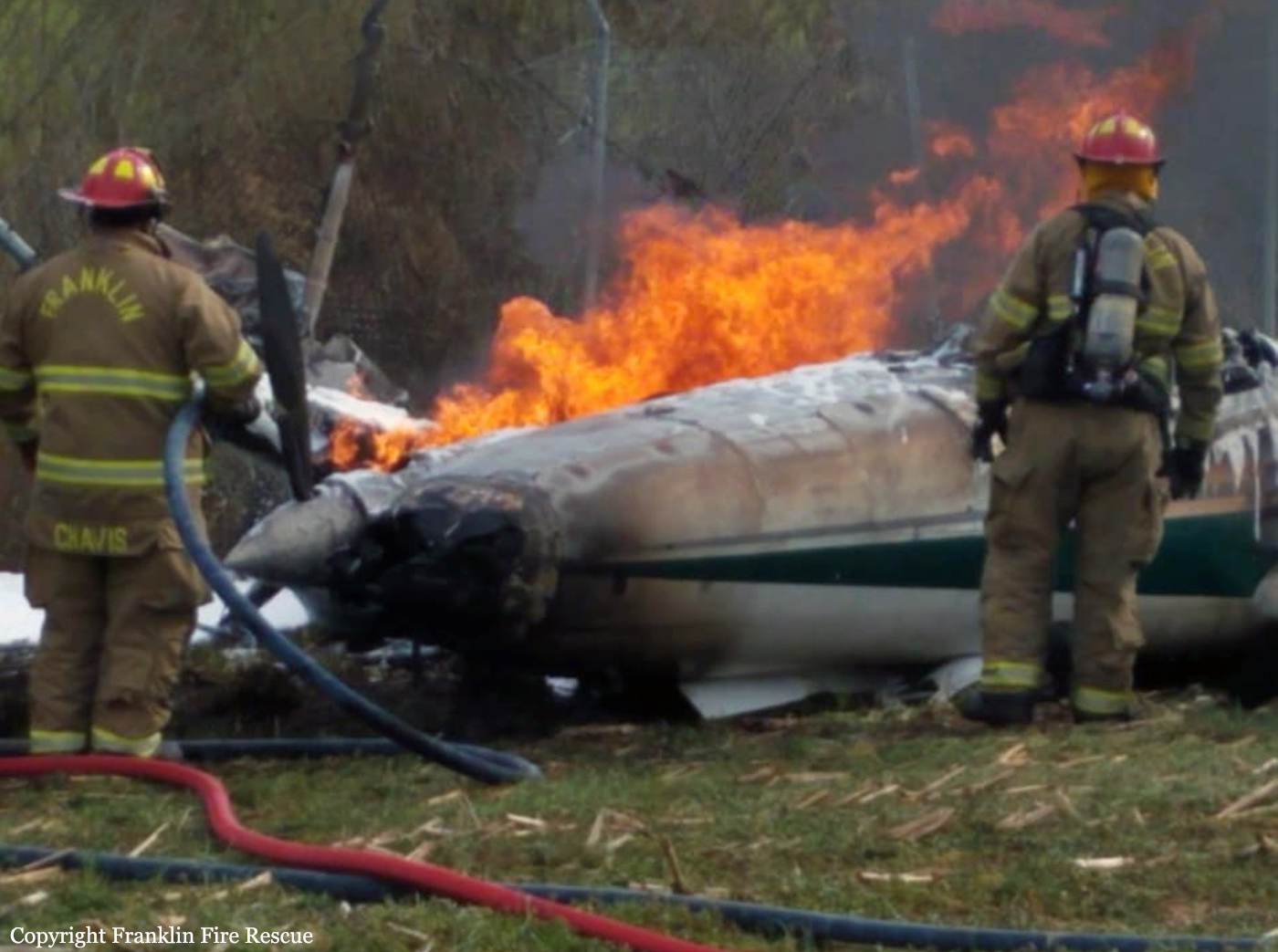
The airplane departed San Fernando Airport on an ambulance flight to Esquel, carrying a doctor, a nurse and two pilots. On approach to Esquel-Brigadier General Antonio Parodi Airport at night, the crew encountered poor visibility (200 metres) and the visual contact with the runway was lost intermittently. Nevertheless, the crew continued the approach and at decision height, the captain decided to continue the descent. After crossing Runway 23 threshold at a height of 78 feet, the pilot-in-command initiated a go-around procedure and turned to the left. The airplane continued in a left hand turn, causing the left wing tip fuel tank to struck the ground. Out of control, the airplane crashed on a small embankment located about 400 metres to the left of the runway centerline, coming to rest upside down and bursting into flames. Both passengers were killed and both pilots were seriously injured. Two days later, the copilot died from injuries sustained.
Probable cause:
It was determined that the accident was the consequence of a controlled flight into terrain (CFIT) and the airplane did not suffer any technical anomalies.
The following contributing factors were identified:
- The crew failed to check the approach charts according to SOP's,
- The approach was initiated and continued in conditions that were below weather minimums,
- Visibility data transmitted by Tower to the crew were inaccurate, leading to confusion on the part of the pilots and their decision-making,
- Both engines were at full power upon impact as the crew was initiating a go-around procedure.
Final Report:

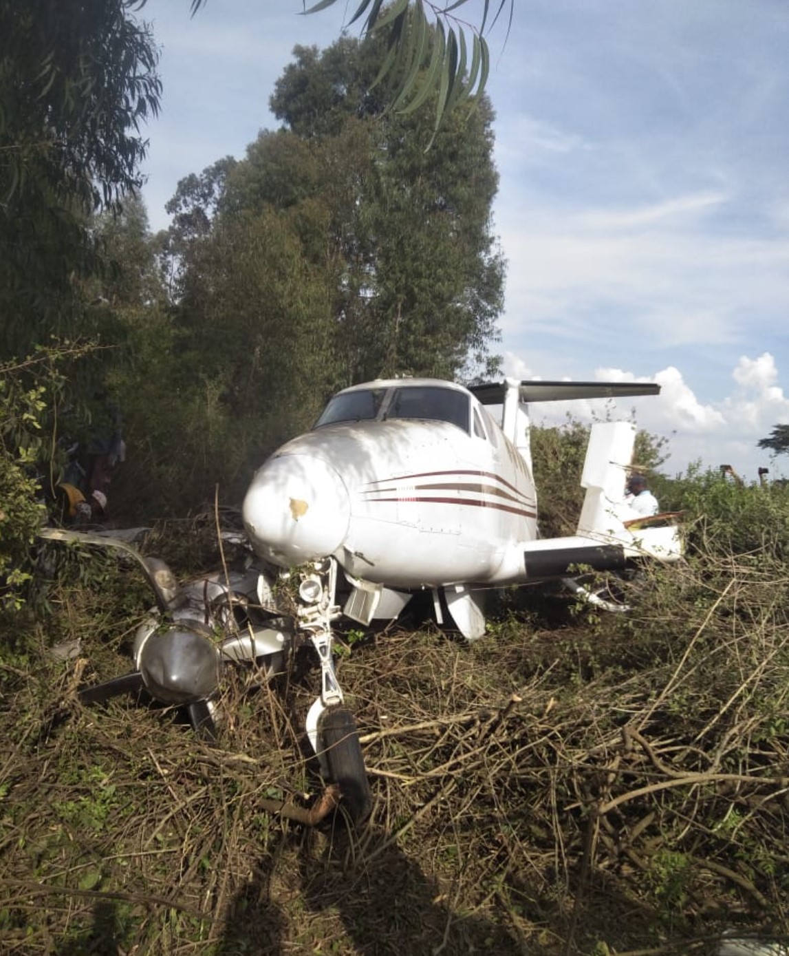
Crash of an Embraer EMB-120RT Brasília in Bardale: 5 killed

Date & Time: May 4, 2020 at 1545 LT
Type of aircraft:
Operator:
Registration:
5Y-AXO
Flight Type:
Survivors:
No
Schedule:
Mogadiscio – Baidoa – Bardale
MSN:
120-259
YOM:
1992
Country:
Region:
Crew on board:
2
Crew fatalities:
Pax on board:
3
Pax fatalities:
Other fatalities:
Total fatalities:
5
Circumstances:
On approach to Bardale Airstrip, the twin engine aircraft struck the ground and crashed 5 km from the airport, bursting into flames. The aircraft was totally destroyed and all five occupants were killed. The crew was enroute from Mogadiscio to Bardale with an en route stop in Baidao, carrying medical supplies and mosquito nets.
Probable cause:
When the aircraft was arriving at Bardale FOB, the usual direction is east-west, but the aircraft was flying from west-east to land over the base camp. Even though the troops did not shoot it down, the aircraft crashed on the ground and was apparently not ready not land. The troops concluded that the aircraft was suspected to be a suicide and trying to find the target to make suicide in the base camp because of the movement of the aircraft. Due to lack of communication and awareness, the aircraft was shot down and all five occupants (3 Kenyan and 2 Somali citizens) died. The incident was performed by a non-AMISOM troops of Ethiopia, which will require mutual collaborative investigation team from Somalia, Ethiopia and Kenya for determine the truth.
Final Report:
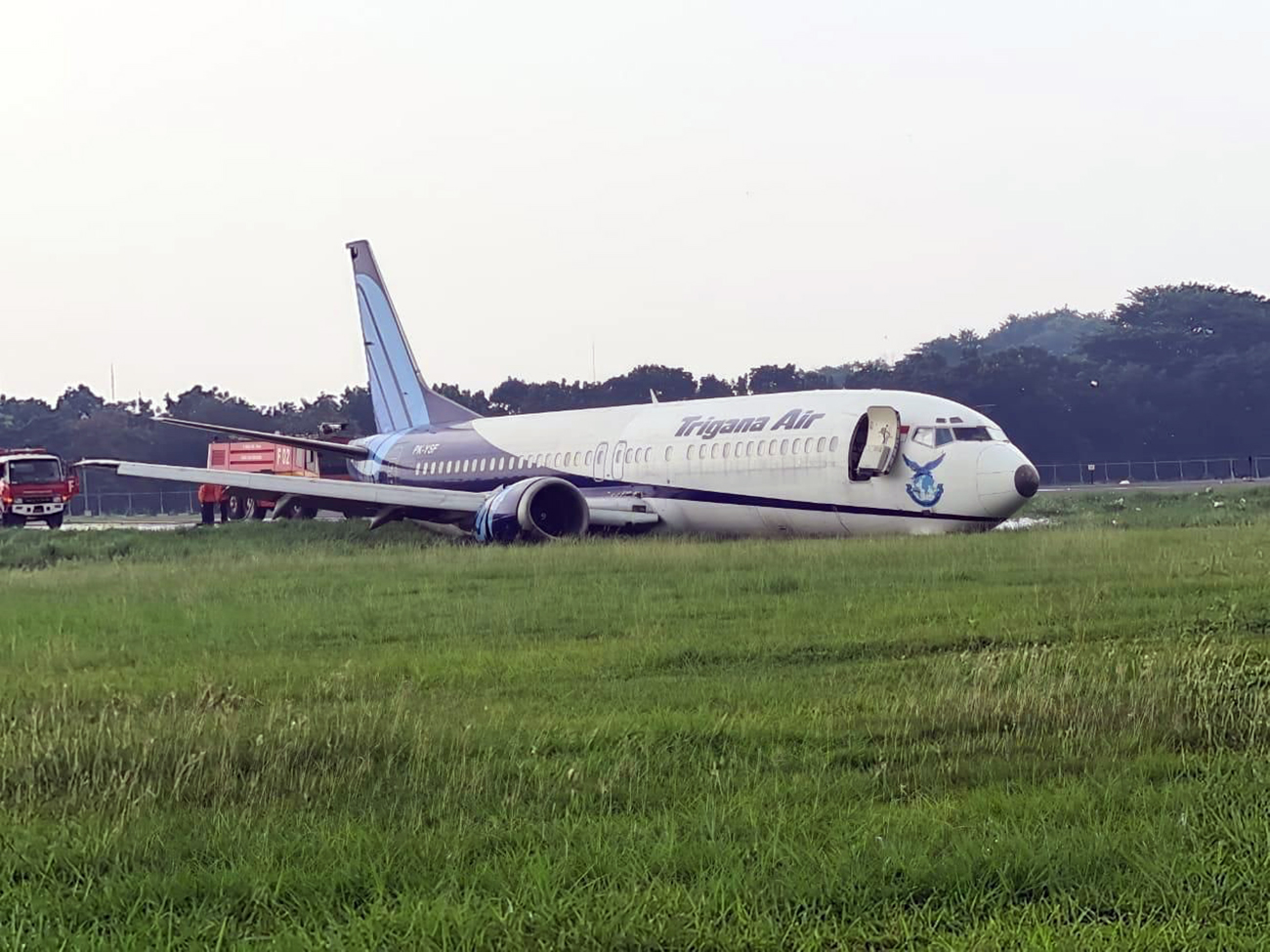
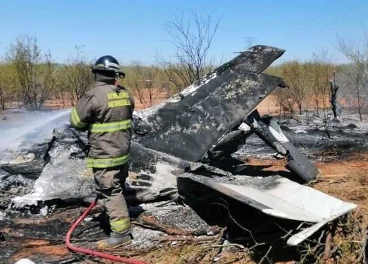
Crash of a Pilatus PC-12/47 in Mesquite

Date & Time: Apr 23, 2020 at 1600 LT
Type of aircraft:
Operator:
Registration:
N477SS
Flight Type:
Survivors:
Yes
Schedule:
Dallas – Muscle Shoals
MSN:
813
YOM:
2007
Crew on board:
1
Crew fatalities:
Pax on board:
0
Pax fatalities:
Other fatalities:
Total fatalities:
0
Captain / Total flying hours:
2283
Captain / Total hours on type:
1137.00
Aircraft flight hours:
7018
Circumstances:
Shortly after takeoff the pilot reported to the air traffic controller that he was losing engine power. The pilot then said he was going to divert to a nearby airport and accepted headings to the airport. The pilot then reported the loss of engine power had stabilized, so he wanted to return to his departure airfield. A few moments later the pilot reported that he was losing engine power again and he needed to go back to his diversion airport. The controller reported that another airport was at the pilot’s 11 o’clock position and about 3 miles. The pilot elected to divert to that airport. The airplane was at 4,500 ft and too close to the airport, so the pilot flew a 360° turn to set up for a left base. During the turn outbound, the engine lost all power, and the pilot was not able to reach the runway. The airplane impacted a field, short of the airport. The airplane’s wings separated in the accident and a small postcrash fire developed. A review of the airplane’s maintenance records revealed maintenance was performed on the day of the accident flight to correct reported difficulty moving the Power Control Lever (PCL) into reverse position. The control cables were inspected from the pilot’s control quadrant to the engine, engine controls, and propeller governor. A static rigging check of the PCL was performed with no anomalies noted. Severe binding was observed on the beta control cable (propeller reversing cable). The cable assembly was removed from the engine, cleaned, reinstalled, and rigged in accordance with manufacturer guidance. During a post-accident examination of the engine and propeller assembly, the beta control cable was found mis-rigged and the propeller blades were found in the feathered position. The beta valve plunger was extended beyond the chamfer face of the propeller governor, consistent with a position that would shut off oil flow from the governor oil pump to the constant speed unit (CSU). A wire could be inserted through both the forward and aft beta control cable clevis inspection holes that function as check points for proper thread engagement. The forward beta control cable clevis adjustment nut was rotated full aft. The swaging ball end on the forward end of the beta control cable was not properly secured between the clevis rod end and the push-pull control terminal and was free to rotate within the assembly. Before takeoff, the beta valve was in an operational position that allowed oil flow to the CSU, resulting in normal propeller control. Vibration due to engine operation and beta valve return spring force most likely caused the improperly secured swaging ball to rotate (i.e. “unthread”) forward on the beta control cable. The resulting lengthening of the reversing cable assembly allowed the beta valve to stroke forward and shut off oil flow to the propeller CSU. Without propeller servo oil flow to maintain propeller control, the propeller faded to the high pitch/feather position due to normal leakage in the transfer bearing. The reported loss of power is consistent with a loss of thrust due to the beta control cable being mis-rigged during the most recent maintenance work.
Probable cause:
The loss of engine power due to a mis-rigged beta control cable (propeller reversing cable), which resulted in a loss of thrust inflight.
Final Report:
Crash of a Piper PA-31T Cheyenne I in Billings: 1 killed

Date & Time: Apr 20, 2020 at 0950 LT
Type of aircraft:
Operator:
Registration:
N926K
Flight Phase:
Flight Type:
Survivors:
No
Schedule:
Billings - Billings
MSN:
31-8004046
YOM:
1980
Crew on board:
1
Crew fatalities:
Pax on board:
0
Pax fatalities:
Other fatalities:
Total fatalities:
1
Captain / Total flying hours:
12955
Aircraft flight hours:
4696
Circumstances:
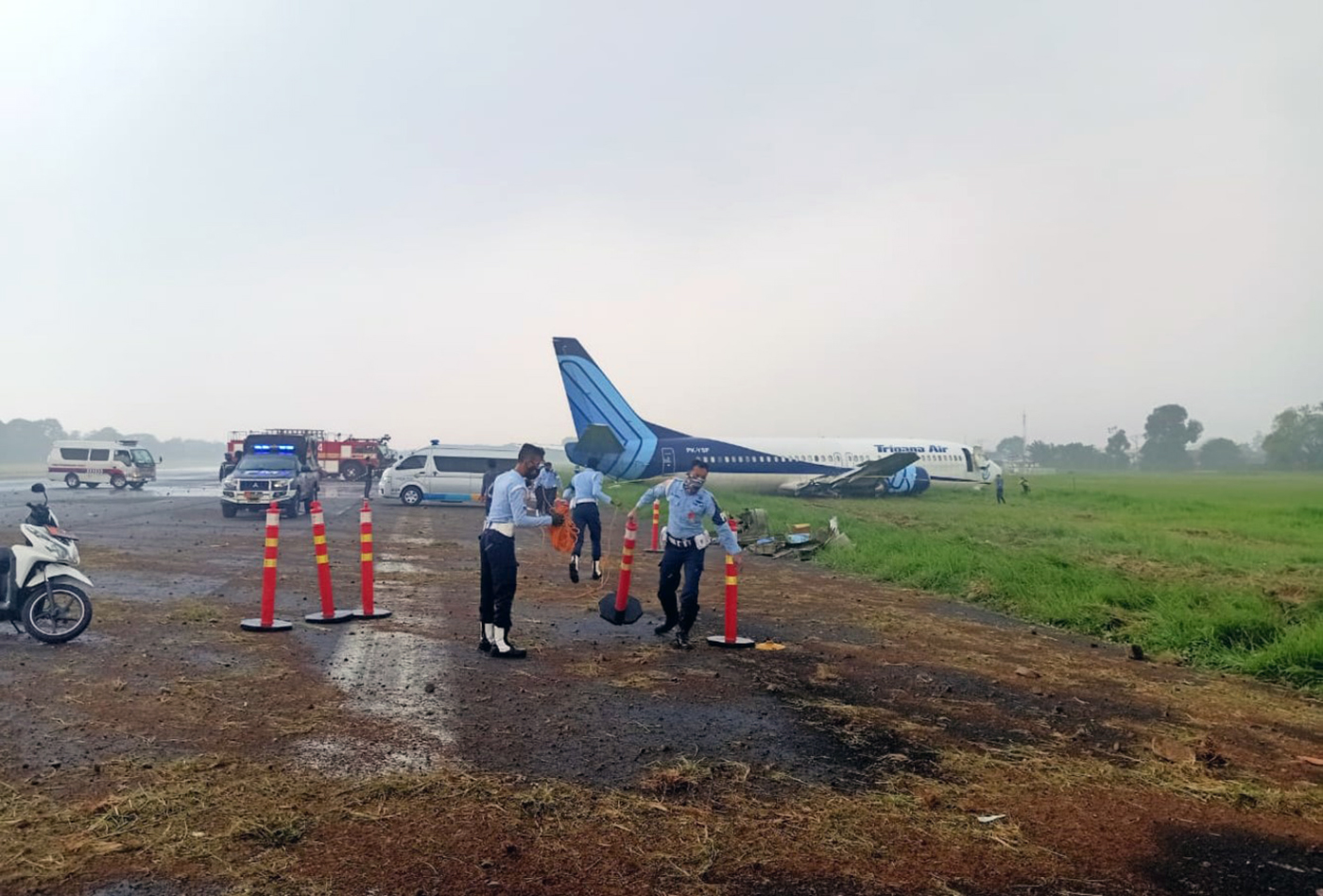
Air traffic control communications revealed that the pilot requested to take off from the departure runway so that he could perform traffic pattern work and return for a landing on the left adjacent runway. Shortly after takeoff and while departing to the west, the pilot was instructed twice to enter the left traffic pattern, with no response. Radar data showed the airplane departing the runway and remaining on runway centerline heading for the length of the flight. The airplane climbed to about 100 ft above ground level and the airplane’s groundspeed increased to 81 knots soon after departure then decreased to 70 knots before dropping off radar. Witnesses reported seeing the airplane depart the airport at a low climb rate and slow airspeed. Shortly after, the airplane flew out of view and a column of smoke was seen on the horizon. Accident site documentation identified symmetrical propeller strikes on the ground consistent with the airplane impacting the ground in a shallow, nose-up, wings level attitude. Examination of the airframe and both engines did not reveal any evidence of a preaccident mechanical failure or malfunction that would have precluded normal performance to allow for sufficient airspeed and climb rate after takeoff. Both the engines exhibited damage signatures consistent with the engines producing symmetrical power at impact. The pilot’s most recent flight in the accident airplane was 2 months before the accident. The pilot was reported to have problems with understanding the accident airplane’s avionics system; however, it is unknown if he was having these problems during the accident flight. Review of the pilot’s medical history revealed no significant medical concerns or conditions that could pose a hazard to flight.
Probable cause:
The degraded airplane performance after takeoff for reasons that could not be determined from available evidence.
Final Report:
Crash of a Comp Air CA-8 in Campo Verde: 1 killed

Date & Time: Apr 13, 2020 at 1232 LT
Type of aircraft:
Operator:
Registration:
PP-XLD
Flight Phase:
Flight Type:
Survivors:
No
Schedule:
Campo Verde – Vera Cruz
MSN:
038SSW624
YOM:
2004
Country:
Crew on board:
1
Crew fatalities:
Pax on board:
0
Pax fatalities:
Other fatalities:
Total fatalities:
1
Captain / Total flying hours:
628
Captain / Total hours on type:
3.00
Circumstances:
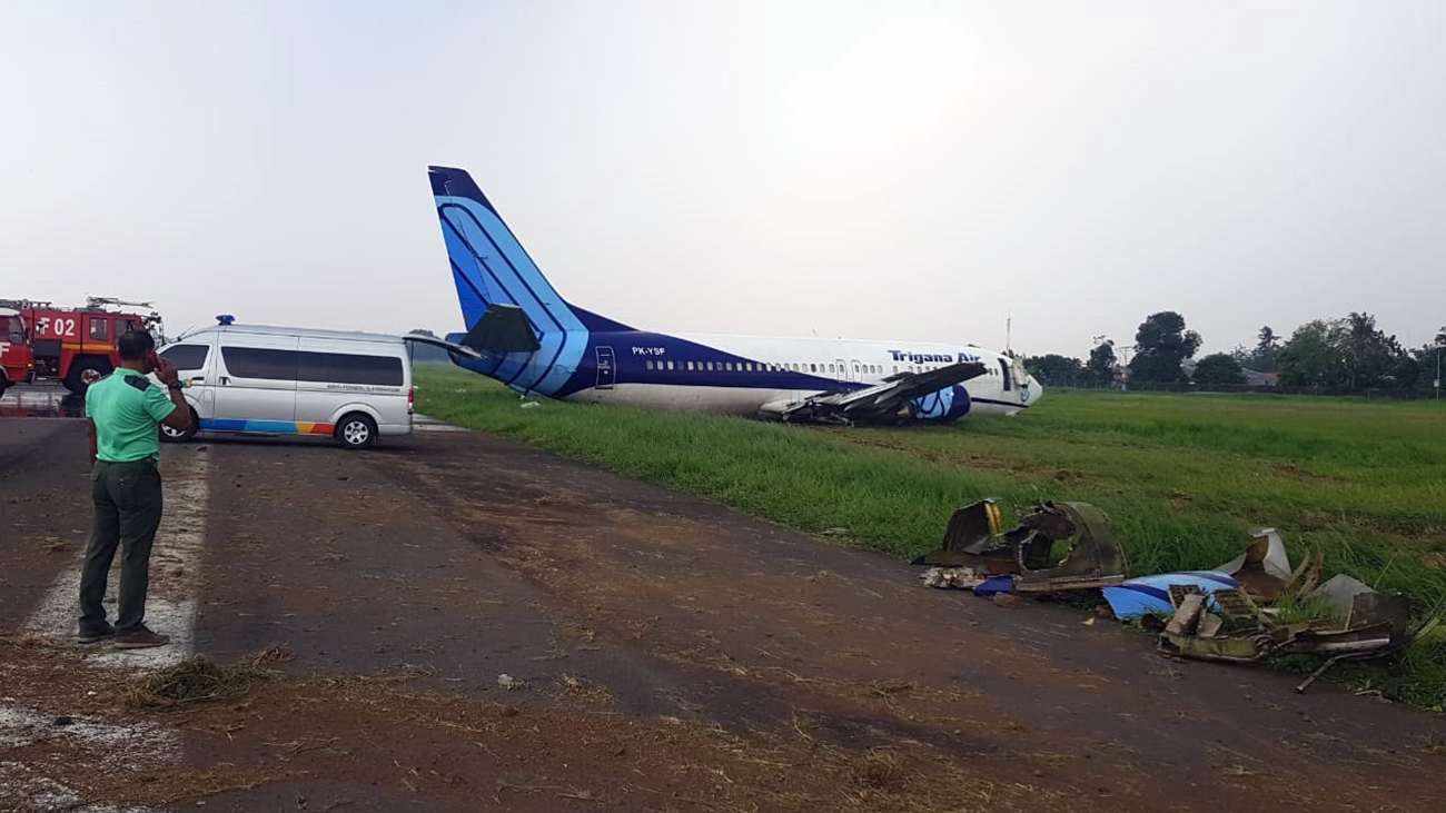
After takeoff from Campo Verde-Luiz Eduardo Magalhães Airport, while climbing, the airplane entered a high pitch angle. The pilot initiated a sharp turn to the left when control was lost. The airplane dove into the ground and crashed in an open field, some 900 metres from the takeoff point, bursting into flames. The pilot, sole on board, was killed.
Probable cause:
The exact cause of the accident could not be determined. However, it is believed that the pilot may have encountered an unexpected situation that he was unable to manage due to his relative low experience.
Final Report:

Crash of an IAI 1124A Westwind II in Manila: 8 killed

Date & Time: Mar 29, 2020 at 2000 LT
Type of aircraft:
Operator:
Registration:
RP-C5880
Flight Phase:
Flight Type:
Survivors:
No
Schedule:
Manila - Tokyo
MSN:
353
YOM:
1981
Country:
Region:
Crew on board:
2
Crew fatalities:
Pax on board:
6
Pax fatalities:
Other fatalities:
Total fatalities:
8
Circumstances:
An IAI Westwind II 1124A type of aircraft with registry number RP-C5880, was destroyed following a runway excursion while taking-off at RWY 06, Ninoy Aquino International Airport (NAIA), Manila Philippines. All eight (8) occupants (six (6) Filipino, one (1) Canadian and one (1) American citizen are fatally injured. The aircraft is being operated by Lionair Inc. and was bound for Haneda, Japan on a medical evacuation flight. While the aircraft was on take-off roll before reaching taxiway R2, sparks were noted at the runway, it continued until the aircraft came to complete stop and engulfed by fire. Chunks of rubber and metal debris were present on the runway. Scrape marks coming from the right hand (RH) wheel hub were also visible. Tire marks followed by scrape marks on the runway coming from the LH tire and wheel hub were also seen after taxiway H1 intersection. Large portion of the remaining LH tire was recovered from the grassy portion near taxiway H1. After exiting from the asphalted portion of runway safety area, the aircraft initially run over two (2) runway edge lights then impacted into a concrete electric junction box and came to a complete stop at the runway secondary fence. The aircraft settled almost 172 meters away from the end of RWY 06, in an upright position at 14°30'53.50"N; 121°1'48.48"E and heading of 170 degrees. The flight was on Instrument Flight Rules (IFR) condition. A Notice to Airmen (NOTAM) of NAIA RWY 06/24 closure for aircraft operation was declared at 2000H and opened for operation at 0420H, March 30, 2020.
Probable cause:
The accident was the caused by the combination of the decision of the PF to abort the take-off after VR that resulted to runway excursion and incorrect pilot techniques or procedures in the high-speed rejected take-off.
The following contributing factors were identified:
- Operational pressures related to the delay of schedule due to late filing of the flight plan compelling the crew to rush and meet the schedule demand.
- The crew's complacency by skipping required briefing item in the before take-off checklist, in this case, the considerations in the event of a malfunction before/after V1.
Final Report:
Crash of a Hawker 800XP in Scottsdale

Date & Time: Mar 14, 2020 at 1600 LT
Type of aircraft:
Operator:
Registration:
N100AG
Flight Type:
Survivors:
Yes
Schedule:
Rogers – Scottsdale
MSN:
258747
YOM:
2005
Crew on board:
2
Crew fatalities:
Pax on board:
0
Pax fatalities:
Other fatalities:
Total fatalities:
0
Captain / Total flying hours:
9150
Captain / Total hours on type:
650.00
Copilot / Total flying hours:
10556
Copilot / Total hours on type:
52
Aircraft flight hours:
4823
Circumstances:
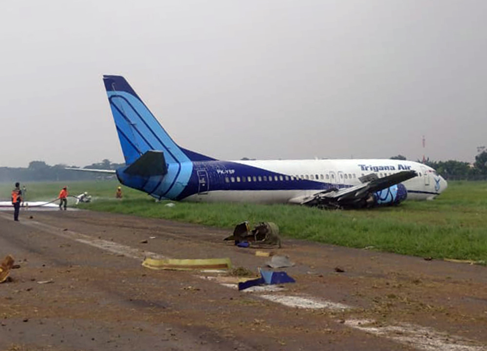
The pilot stated that, upon landing, the airplane touched down on the runway centerline with light and variable wind conditions. The pilot recalled that the touchdown felt normal but that, during the landing roll, the airplane began to veer to the right. The pilot added full left rudder, but the airplane continued to veer off the runway surface and encountered large rocks located between the runway and taxiway. A postaccident operational check of the nosewheel steering system revealed no mechanical malfunctions or anomalies that would have precluded normal operation. The left nosewheel tire was not adequately inflated and was worn to the point at which the cord was exposed; the right nosewheel tire was within tolerances. Also, one-third of the rim was absent on the left nosewheel tire outer wheel half. The available evidence precluded a determination of whether the imbalance between the nosewheel tires contributed to the control problem on the runway. It could also not be determined if the left nosewheel tire damage occurred before the touchdown or as a result of the accident sequence.
Probable cause:
The pilot’s inability to maintain directional control during landing for undetermined reasons, which resulted in a runway excursion.
Final Report:

Crash of a Cessna 525 CJ1 in Porlamar

Date & Time: Mar 13, 2020 at 1700 LT
Type of aircraft:
Operator:
Registration:
YV3452
Flight Type:
Survivors:
Yes
Schedule:
Porlamar – Caracas
MSN:
525-0084
YOM:
1994
Country:
Crew on board:
2
Crew fatalities:
Pax on board:
0
Pax fatalities:
Other fatalities:
Total fatalities:
0
Circumstances:
The crew departed Porlamar-Del Caribe-General en Jefe Santiago Mariño Airport on a ferry flight to Caracas-Oscar Machado Zuloaga Airport. After takeoff, while climbing, the crew encountered unknown technical problems and was cleared to return for an emergency landing. After touchdown, the aircraft was unable to stop within the remaining distance. It overran, lost its undercarriage and came to rest, bursting into flames. Both pilots were seriously injured and suffered burns. The aircraft was partially destroyed by fire.

Crash of a Cessna 404 Titan in Lockhart River: 5 killed

Date & Time: Mar 11, 2020 at 0919 LT
Type of aircraft:
Registration:
VH-OZO
Survivors:
No
Schedule:
Cairns – Lockhart River
MSN:
404-0653
YOM:
1980
Country:
Region:
Crew on board:
1
Crew fatalities:
Pax on board:
4
Pax fatalities:
Other fatalities:
Total fatalities:
5
Captain / Total flying hours:
3220
Captain / Total hours on type:
399.00
Circumstances:
On 11 March 2020, a Cessna 404 aircraft, registered VH-OZO, was being operated by Air Connect Australia to conduct a passenger charter flight from Cairns to Lockhart River, Queensland. On board were the pilot and 4 passengers, and the flight was being conducted under the instrument flight rules (IFR). Consistent with the forecast, there were areas of cloud and rain that significantly reduced visibility at Lockhart River Airport. On descent, the pilot obtained the latest weather information from the airport’s automated weather information system (AWIS) and soon after commenced an area navigation (RNAV) global satellite system (GNSS) instrument approach to runway 30. The pilot conducted the first approach consistent with the recommended (3°) constant descent profile, and the aircraft kept descending through the minimum descent altitude (MDA) of 730 ft and passed the missed approach point (MAPt). At about 400 ft, the pilot commenced a missed approach. After conducting the missed approach, the pilot immediately commenced a second RNAV GNSS approach to runway 30. During this approach, the pilot commenced descent from 3,500 ft about 2.7 NM prior to the intermediate fix (or 12.7 NM prior to the MAPt). The descent was flown at about a normal 3° flight path, although about 1,000 ft below the recommended descent profile. While continuing on this descent profile, the aircraft descended below the MDA. It then kept descending until it collided with terrain 6.4 km (3.5 NM) short of the runway. The pilot and 4 passengers were fatally injured, and the aircraft was destroyed.
Probable cause:
The accident was the consequence of a controlled flight into terrain.
The following contributing factors were identified:
• While the pilot was operating in the vicinity of Lockhart River Airport, there were areas of cloud and rain that significantly reduced visibility and increased the risk of controlled flight into terrain.
In particular, the aircraft probably entered areas of significantly reduced visibility during the second approach.
• After an area navigation (RNAV) global satellite system (GNSS) approach to runway 30 and missed approach, the pilot immediately conducted another approach to the same runway that was on a similar gradient to the recommended descent profile but displaced about 1,000 ft below that profile. While continuing on this descent profile, the aircraft descended below a segment minimum safe altitude and the minimum descent altitude, then kept descending until the collision with terrain about 6 km before the runway threshold.
• Although the exact reasons for the aircraft being significantly below the recommended descent profile and the continued descent below the minimum descent altitude could not be determined, it was evident that the pilot did not effectively monitor the aircraft’s altitude and descent rate for an extended period.
• When passing the final approach fix (FAF), the aircraft’s lateral position was at about full-scale deflection on the course deviation indicator (CDI), and it then exceeded full-scale deflection for
an extended period. In accordance with the operator’s stabilized approach procedures, a missed approach should have been conducted if the aircraft exceeded half full-scale deflection at the FAF, however a missed approach was not conducted.
• The pilot was probably experiencing a very high workload during periods of the second approach. In addition to the normal high workload associated with a single pilot hand flying an approach in instrument meteorological conditions, the pilot’s workload was elevated due to conducting an immediate entry into the second approach, conducting the approach in a different manner to their normal method, the need to correct lateral tracking deviations throughout the approach, and higher than appropriate speeds in the final approach segment.
• The aircraft was not fitted with a terrain avoidance and warning system (TAWS). Such a system would have provided visual and aural alerts to the pilot of the approaching terrain for an extended period, reducing the risk of controlled flight into terrain.
• Although the aircraft was fitted with a GPS/navigational system suitable for an area navigation (RNAV) global satellite system (GNSS) approach and other non-precision approaches, it was not fitted with a system that provided vertical guidance information, which would have explicitly indicated that the aircraft was well below the recommended descent profile. Although the operator had specified a flight profile for a straight-in approaches and stabilized approach criteria in its operations manual, and encouraged the use of stabilized approaches, there were limitations with the design of these procedures. In addition, there were limitations with other risk controls for minimizing the risk of controlled flight into terrain (CFIT), including no procedures or guidance for the use of the terrain awareness function on the aircraft’s GNS 430W GPS/navigational units and limited monitoring of the conduct of line operations.

Other factors that increased risk:
• Although an applicable height of 1,000 ft for stabilized approach criteria in instrument meteorological conditions has been widely recommended by organizations such as the International Civil Aviation Organization for over 20 years, the Civil Aviation Safety Authority had not provided formal guidance information to Australian operators regarding the content of stabilized approach criteria. (Safety issue)
• The Australian requirements for installing a terrain avoidance and warning system (TAWS) were less than those of other comparable countries for some types of small aeroplanes conducting air transport operations, and the requirements were not consistent with International Civil Aviation Organization (ICAO) standards and recommended practices. More specifically, although there was a TAWS requirement in Australia for turbine-engine aeroplanes carrying 10 or more passengers under the instrument flight rules:
- There was no requirement for piston-engine aeroplanes to be fitted with a TAWS, even though this was an ICAO standard for such aeroplanes authorized to carry 10 or more passengers, and this standard had been adopted as a requirement in many comparable countries.
- There was no requirement for turbine-engine aeroplanes authorized to carry 6–9 passengers to be fitted with a TAWS, even though this had been an ICAO recommended practice since 2007, and this recommended practice had been adopted as a requirement in many comparable countries. (Safety Issue)

Other findings:
• The forecast weather at Lockhart River for the time of the aircraft’s arrival required the pilot to plan for 60 minutes holding or diversion to an alternate aerodrome. The aircraft had sufficient fuel for that purpose; and the aircraft had sufficient fuel to conduct the flight from Cairns to Lockhart River and return, with additional fuel for holding on both sectors if required.
• There was no evidence of any organizational or commercial pressure to conduct the flight to Lockhart River or to complete the flight once to commenced.
• Based on the available evidence, it is very unlikely that the pilot was incapacitated or impaired during the flight.
• There was no evidence of any aircraft system or mechanical anomalies that would have directly influenced the accident. However, as a consequence of extensive aircraft damage, it was not possible to be conclusive about the aircraft’s serviceability.
• The aircraft was fitted with Garmin GNS 430W GPS/navigational units that could be configured to provide visual (but not aural) terrain alerts. However, it could not be determined whether the
terrain awareness function was selected on during the accident flight.
Final Report:

Crash of a Cessna 208B Super Cargomaster in Rhinelander

Date & Time: Mar 5, 2020 at 0815 LT
Type of aircraft:
Operator:
Registration:
N706FX
Flight Type:
Survivors:
Yes
Schedule:
Milwaukee – Rhinelander
MSN:
208B-0426
YOM:
1995
Flight number:
FDX8312
Crew on board:
1
Crew fatalities:
Pax on board:
0
Pax fatalities:
Other fatalities:
Total fatalities:
0
Captain / Total flying hours:
7245
Captain / Total hours on type:
3684.00
Aircraft flight hours:
11458
Circumstances:
The pilot reported that, upon reaching the decision altitude on a GPS instrument approach, he saw the runway end identifier lights and continued the approach. Shortly after, the lights disappeared and then reappeared. He continued the approach and landing thinking the airplane was lined up with the runway by using the runway edge lights for reference. Upon touching down about 225 ft left of the runway, the airplane dug into snow and flipped over, which resulted in substantial damage to the wings and tail. The pilot reported that there were no preaccident mechanical malfunctions or failures with the airplane that would have precluded normal operation.
Probable cause:
The pilot's improper decision to continue an instrument approach to landing following a loss of visual reference with the runway, which resulted in the airplane touching down left of the runway in snow and flipping over.
Final Report: