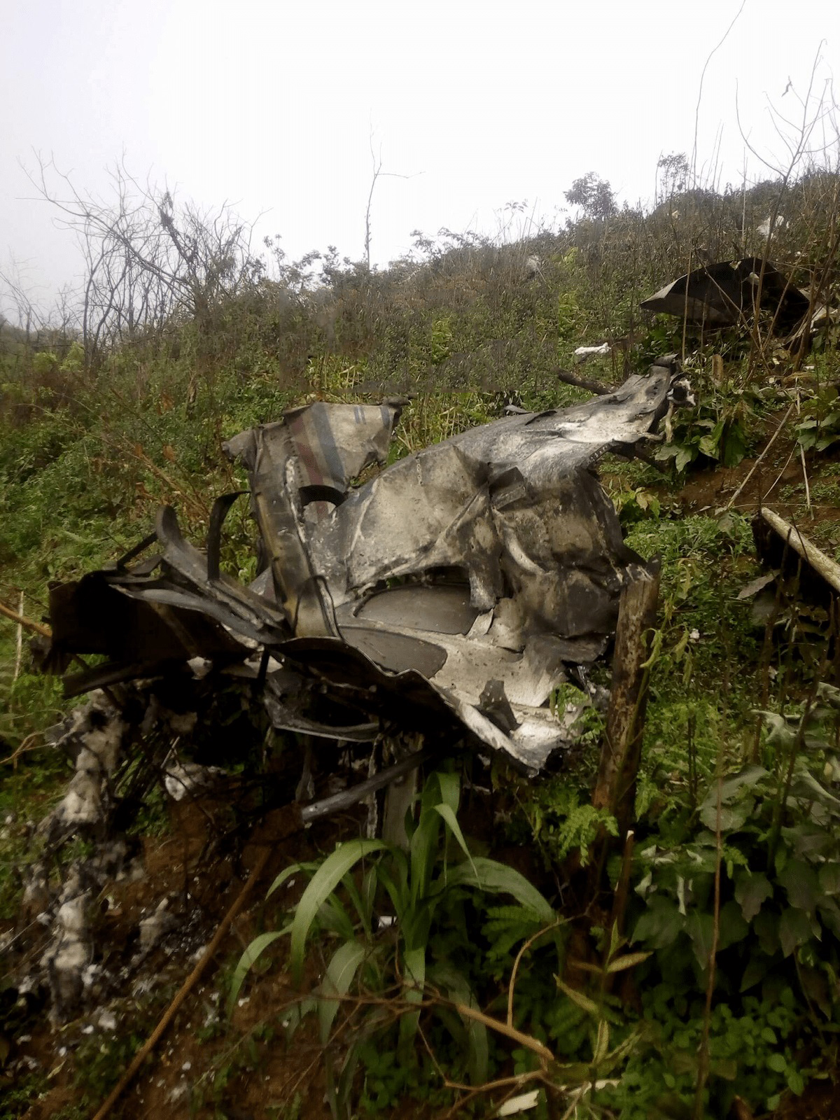
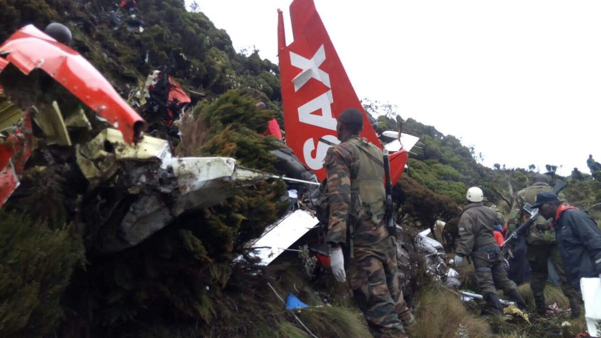
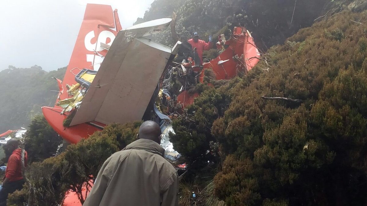
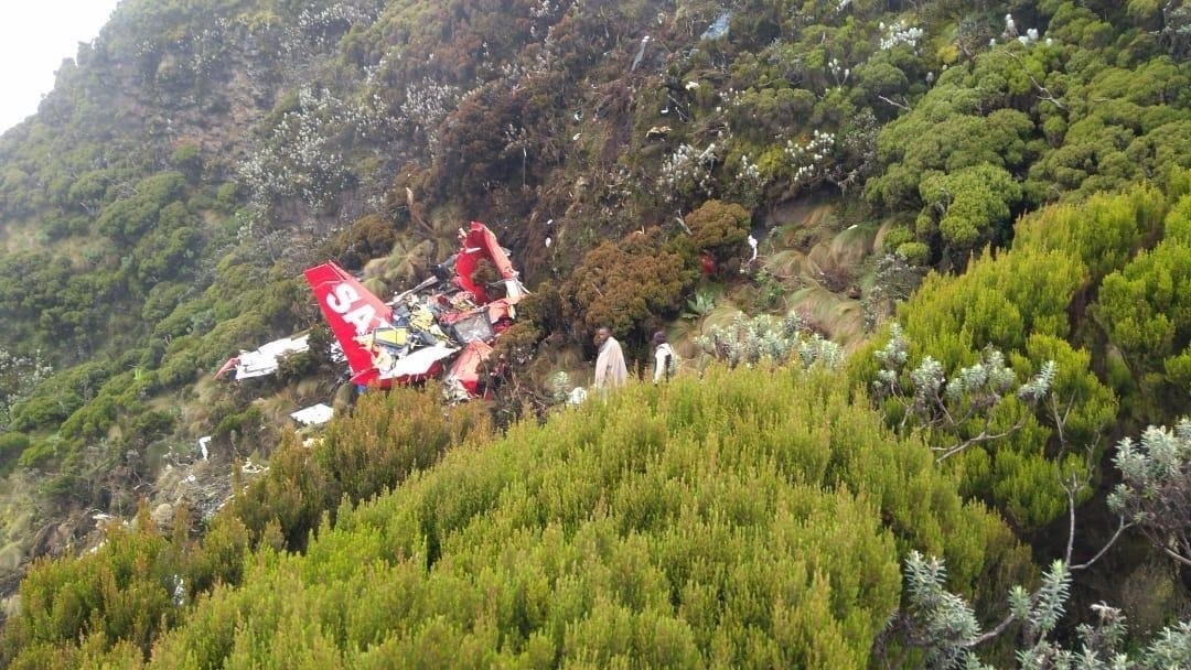
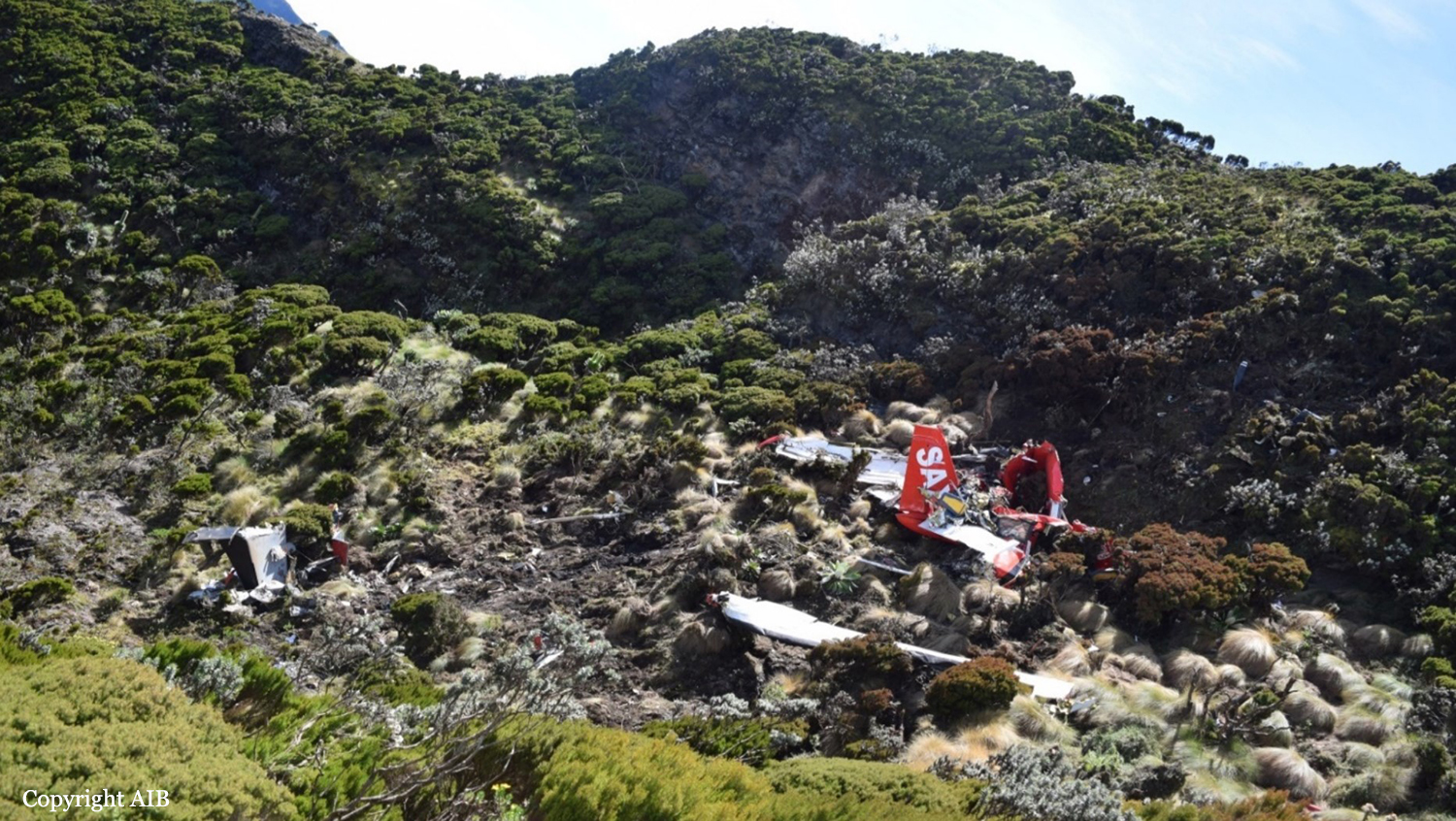
Crash of a Piper PA-31-310 Navajo C on Mt Rae: 2 killed

Date & Time: Aug 1, 2018 at 1336 LT
Type of aircraft:
Operator:
Registration:
C-FNCI
Flight Phase:
Survivors:
No
Site:
Schedule:
Penticton - Calgary
MSN:
31-8112007
YOM:
1981
Location:
Country:
Crew on board:
1
Crew fatalities:
Pax on board:
1
Pax fatalities:
Other fatalities:
Total fatalities:
2
Captain / Total flying hours:
4400
Captain / Total hours on type:
2800.00
Aircraft flight hours:
7277
Circumstances:
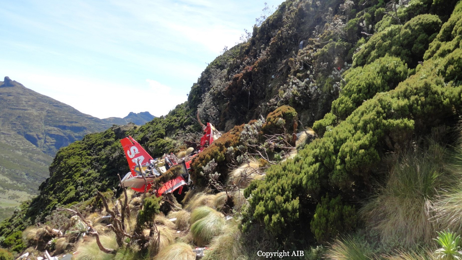
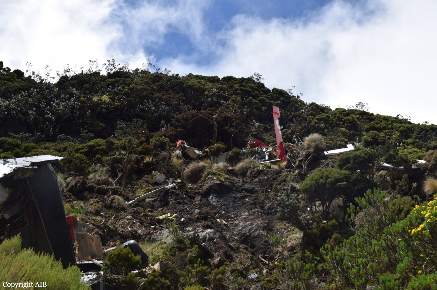
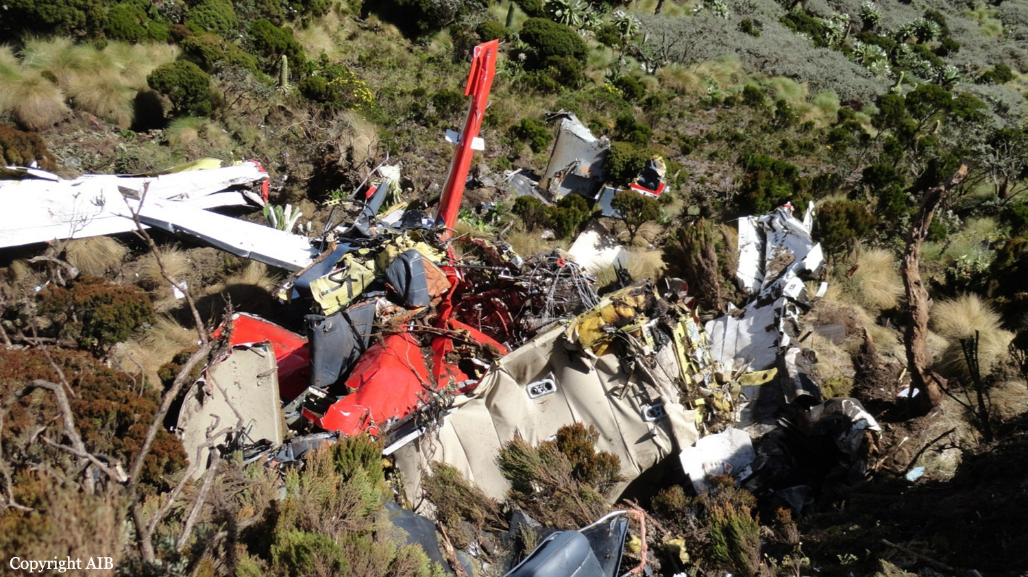
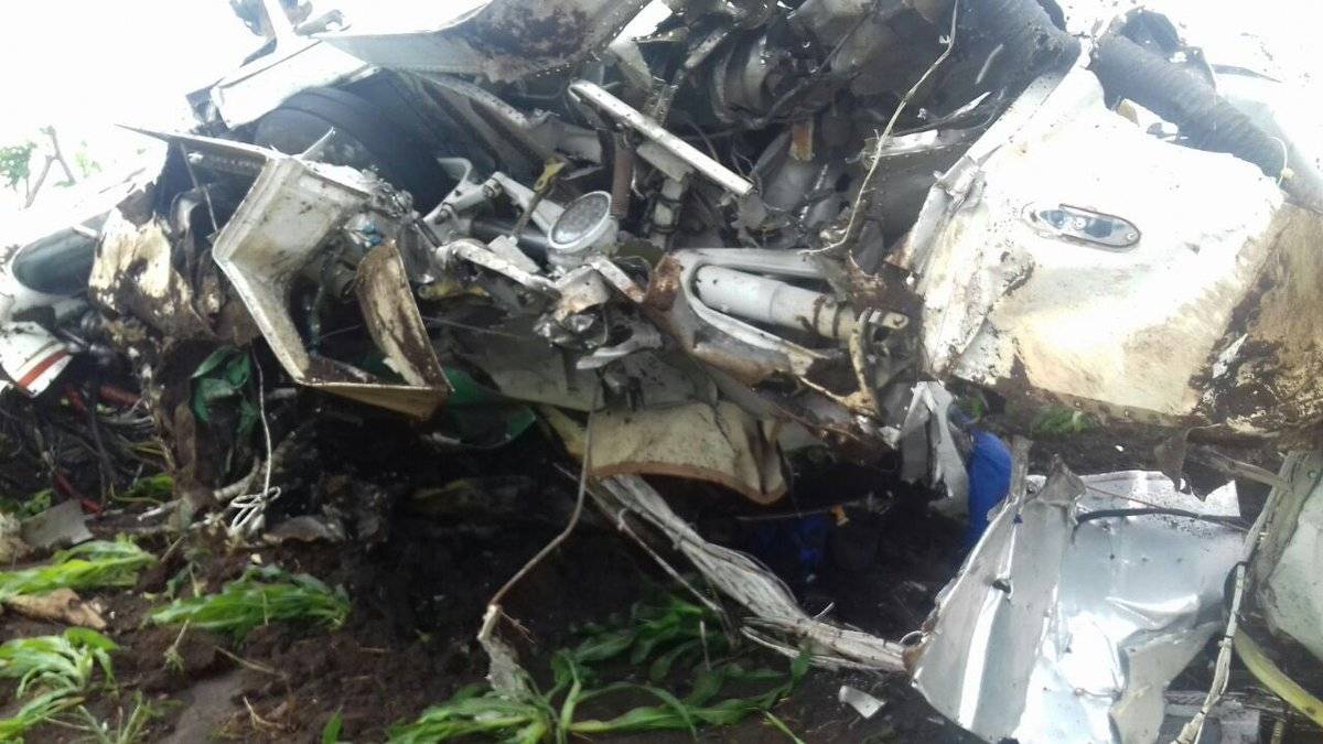
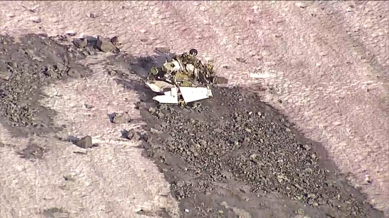
On 01 August 2018, after completing 2 hours of survey work near Penticton, British Columbia (BC), an Aries Aviation International Piper PA-31 aircraft (registration C-FNCI, serial number 31-8112007) proceeded on an instrument flight rules flight plan from Penticton Airport (CYYF), BC, to Calgary/Springbank Airport (CYBW), Alberta, at 15 000 feet above sea level. The pilot and a survey technician were on board. When the aircraft was approximately 40 nautical miles southwest of CYBW, air traffic control began sequencing the aircraft for arrival into the Calgary airspace and requested that the pilot slow the aircraft to 150 knots indicated airspeed and descend to 13 000 feet above sea level. At this time, the right engine began operating at a lower power setting than the left engine. About 90 seconds later, at approximately 13 500 feet above sea level, the aircraft departed controlled flight. It collided with terrain near the summit of Mount Rae at 1336 Mountain Daylight Time. A brief impact explosion and fire occurred during the collision with terrain. The pilot and survey technician both received fatal injuries. The Canadian Mission Control Centre received a 406 MHz emergency locator transmitter signal from the occurrence aircraft and notified the Trenton Joint Rescue Coordination Centre. Search and rescue arrived on site approximately 1 hour after the accident.
Probable cause:
Findings as to causes and contributing factors:
1. The pilot did not continuously use oxygen above 13 000 feet and likely became hypoxic as the aircraft climbed to 15 000 feet. The pilot did not recognize his symptoms or take action to restore his supply of oxygen.
2. As a result of hypoxia-related cognitive and perceptual degradations, the pilot was unable to maintain effective control of the aircraft or to respond appropriately to the asymmetric power condition.
3. The aircraft departed controlled flight and entered a spin to the right because the airspeed was below both the published minimum control speed in the air and the stall speed, and because there was a significant power asymmetry, a high angle of attack, and significant asymmetric drag from the windmilling propeller of the right engine.
4. When the aircraft exited cloud, the pilot completed only 1 of the 7 spin-recovery steps: reducing the power to idle. As the aircraft continued to descend, the pilot took no further recovery action, except to respond to air traffic control and inform the controller that there was an emergency.

Findings as to risk:
1. If flight crews do not undergo practical hypoxia training, there is a risk that they will not recognize the onset of hypoxia when flying above 13 000 feet without continuous use of supplemental oxygen.

Other findings:
1. The weather information collected during the investigation identified that the loss of control was not due to in-flight icing, thunderstorms, or turbulence.
2. Because the Appareo camera had been bumped and its position changed, the pilot’s actions on the power controls could not be determined. Therefore, the investigation was unable to determine whether the power asymmetry was the result of power-quadrant manipulation by the pilot or of an aircraft system malfunction.
3. The flight path data, audio files, and image files retrieved from the Appareo system enabled the investigators to better understand the underlying factors that contributed to the accident.
Final Report:

Crash of an Antonov AN-26B near El Alamein

Date & Time: Jul 20, 2018 at 0125 LT
Type of aircraft:
Operator:
Registration:
UP-AN611
Flight Phase:
Flight Type:
Survivors:
Yes
Site:
Schedule:
Kiev - El Alamein - Khartoum
MSN:
114 04
YOM:
1981
Flight number:
KUY9554
Country:
Region:
Crew on board:
6
Crew fatalities:
Pax on board:
0
Pax fatalities:
Other fatalities:
Total fatalities:
0
Circumstances:
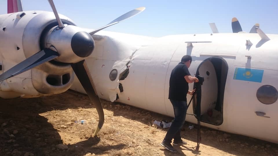
The crew was completing a positioning flight from Kiev to Khartoum with an intermediate stop in El Alamein, Egypt. While cruising by night, the crew informed ATC that he was short of fuel and attempted an emergency landing in a desert area located about 50 km east of El Alamein Airport. The aircraft belly landed, slid for few dozen metres and came to rest, broken in two. There was no fire. All six crew members escaped uninjured while the aircraft was damaged beyond repair. It is reported that the crew was forced to make an emergency landing due to fuel shortage, probably caused by strong headwinds all along the flight.

Crash of a De Havilland DHC-3T Otter near Hydaburg

Date & Time: Jul 10, 2018 at 0835 LT
Type of aircraft:
Operator:
Registration:
N3952B
Flight Phase:
Survivors:
Yes
Site:
Schedule:
Klawock – Ketchikan
MSN:
225
YOM:
1957
Location:
Crew on board:
1
Crew fatalities:
Pax on board:
10
Pax fatalities:
Other fatalities:
Total fatalities:
0
Captain / Total flying hours:
27400
Captain / Total hours on type:
306.00
Aircraft flight hours:
16918
Circumstances:
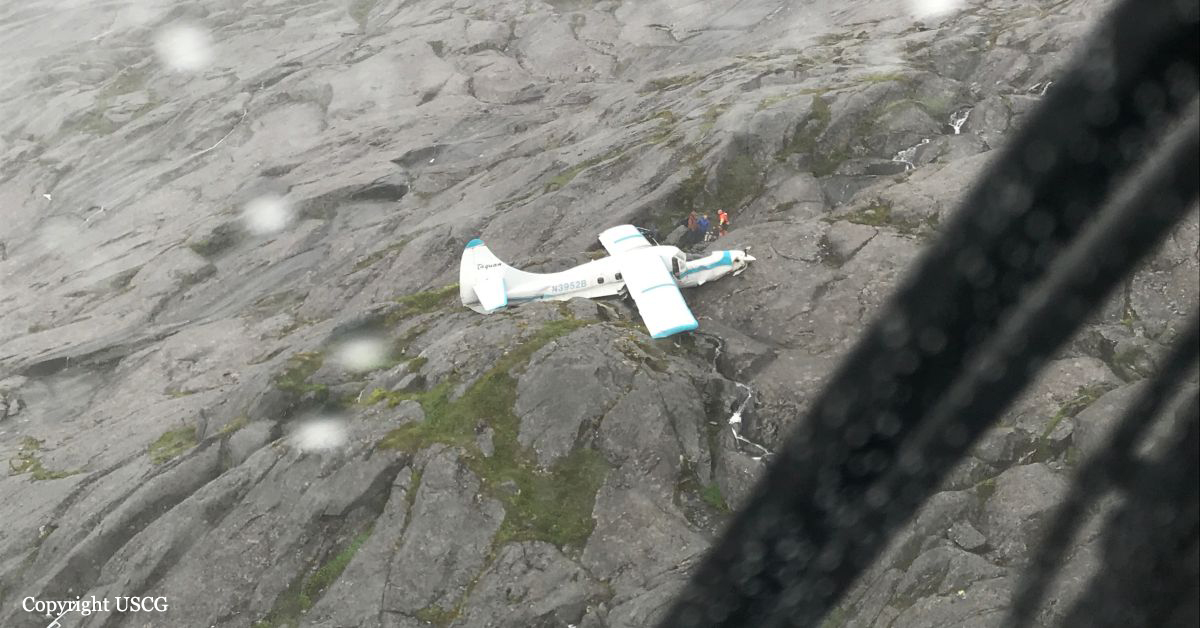
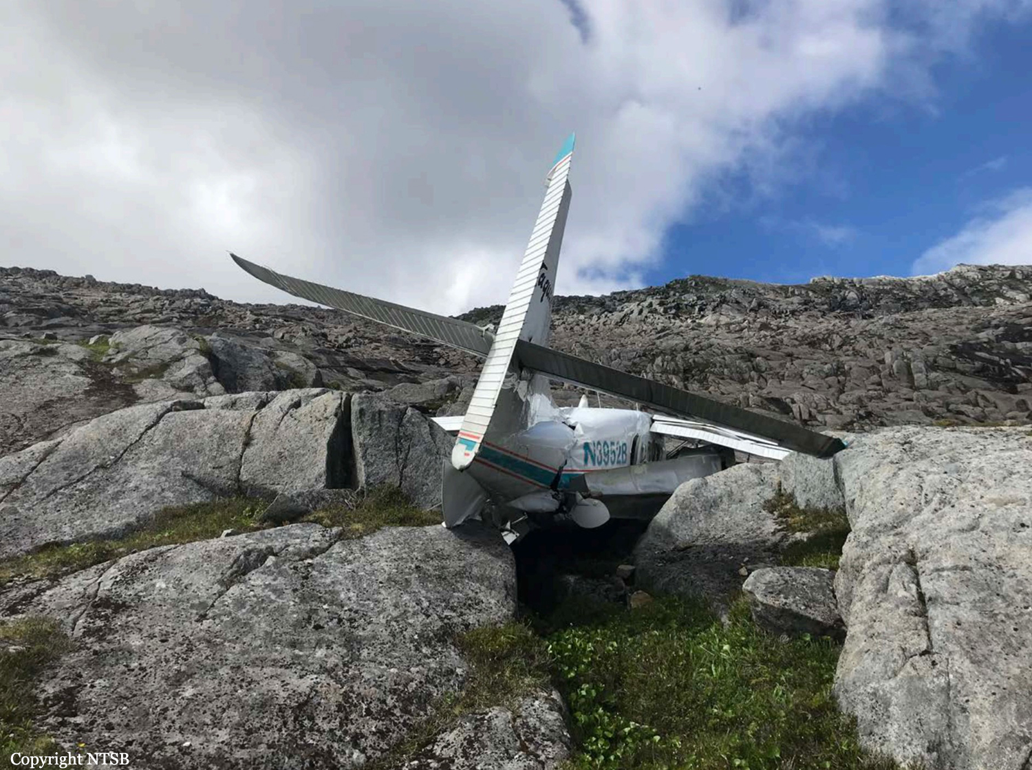
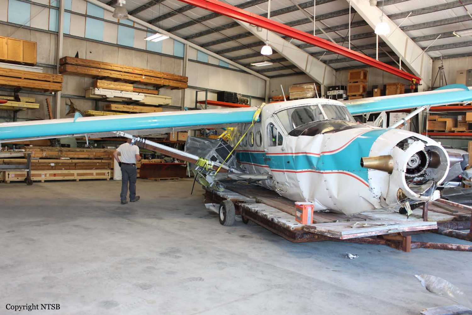
The airline transport pilot was conducting a commercial visual flight rules (VFR) flight transporting 10 passengers from a remote fishing lodge. According to the pilot, while in level cruise flight about 1,100 ft mean sea level (msl) and as the flight progressed into a mountain pass, visibility decreased rapidly. In an attempt to turn around and return to VFR conditions, the pilot initiated a climbing right turn. Before completing the 180° right turn, he saw what he believed to be a body of water and became momentarily disoriented, so he leveled the wings. Shortly thereafter, he realized that the airplane was approaching an area of snow-covered mountainous terrain, so he applied full power and initiated a steep climb; the airspeed decayed, and the airplane collided with an area of rocky, rising terrain, which resulted in substantial damage to the wings and fuselage. The pilot reported no mechanical malfunctions or anomalies that would have precluded normal operation, and the examination of the airframe and engine revealed no evidence of mechanical malfunctions or failures that would have precluded normal operation. The weather forecast at the accident time included scattered clouds at 2,500 ft msl, overcast clouds at 5,000 ft msl with cloud tops to 14,000 ft and clouds layered above that to flight level 250, and isolated broken clouds at 2,500 ft with light rain. AIRMET advisory SIERRA for "mountains obscured in clouds/precipitation" was valid at the time of the accident. Conditions were expected to deteriorate. Passenger interviews revealed that through the course of the flight, the airplane was operating in marginal visual meteorological conditions and occasional instrument meteorological conditions (IMC) with areas of precipitation, reduced visibility, obscuration, and, at times, little to no forward visibility. Thus, based on weather reports and forecasts, and the pilot's and passengers' statements, it is likely that the flight encountered IMC as it approached mountainous terrain and that the pilot then lost situational awareness. The airplane was equipped with a terrain awareness and warning system (TAWS); however, the alerts were inhibited at the time of the accident. Although the TAWS was required to be installed per Federal Aviation Administration (FAA) regulations, there is no requirement for it to be used. All company pilots interviewed stated that the TAWS inhibit switch remained in the inhibit position unless a controlled flight into terrain (CFIT) escape maneuver was being accomplished. However, the check airman who last administered the accident pilot's competency check stated that the TAWS inhibit switch was never moved, even during a CFIT escape maneuver. The unwritten company policy to leave the TAWS in the inhibit mode and the failure of the pilot to move the TAWS out of the inhibit mode when weather conditions began to deteriorate were inconsistent with the goal of providing the highest level of safety. However, if the pilot had been using TAWS, due to the fact that he was operating at a lower altitude and thus would have likely received numerous nuisance alerts, the investigation could not determine the extent to which TAWS would have impacted the pilot's actions. At the time of the accident, the director of operations (DO) for the company resided in another city and served as DO for another air carrier as well. He traveled to the company's main base of operation about once per month but was available via telephone. According to the chief pilot, he had assumed a large percentage of the DO's duties. The president of the company said that the chief pilot had taken over "officer of the deck" and "we're just basically using him [the DO] for his recordkeeping." The FAA was aware that the company's DO was also DO for another commuter operation. FAA Flight Standards District Office management and principal operations inspectors allowed him to continue to hold those positions, although it was contrary to the guidance provided in FAA Order 8900.1. The company's General Operations Manual (GOM) only listed the DO, the chief pilot, and the president by name as having the authority to exercise operational control. However, numerous company personnel stated that operational control could be and was routinely delegated to senior pilots. The GOM stated that the DO "routinely" delegated the duty of operational control to flight coordinators, but the flight coordinator on duty at the time of the accident stated that she did not have operational control. In addition, the investigation revealed numerous inadequate and missing operational control procedures and processes in company manuals and operations specifications. Based on the FAA's inappropriate approval of the DO, the insufficient company onsite management, the inadequate operational control procedures, and the exercise of operational control by unapproved persons likely resulted in a lack of oversight of flight operations, inattentive and distracted management personnel, and a loss of operational control within the air carrier. However, the investigation could not determine the extent to which any changes to operational control, company management, and FAA oversight would have influenced the pilot's decision to continue the VFR flight into IMC.
Probable cause:
The pilot's decision to continue the visual flight rules flight into instrument meteorological conditions, which resulted in controlled flight into terrain.
Final Report:

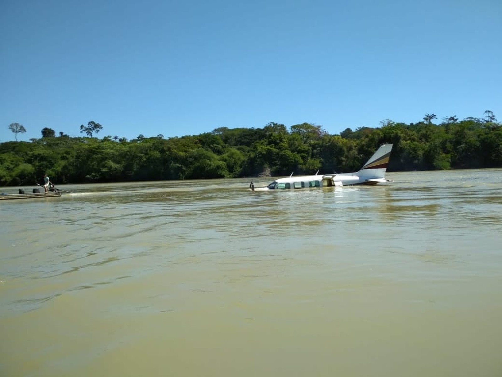
Crash of a Piper PA-31-310 Navajo B near Jardim do Ouro: 2 killed

Date & Time: Jun 27, 2018 at 1430 LT
Type of aircraft:
Registration:
PT-IIU
Flight Phase:
Flight Type:
Survivors:
Yes
Schedule:
Guarantã do Norte – Apuí
MSN:
31-852
YOM:
1972
Country:
Crew on board:
1
Crew fatalities:
Pax on board:
2
Pax fatalities:
Other fatalities:
Total fatalities:
2
Circumstances:
The twin engine airplane departed Guarantã do Norte on a flight to a remote area located on km 180 on the Transamazonica Road. En route, both passengers started to fight in the cabin and one of them was killed. The pilot was apparently able to kill the assassin and later decided to attempt an emergency landing. He ditched the airplane in the Rio Novo near Jardim do Ouro. The pilot was later arrested but no drugs, no weapons, no ammunition as well a both passengers bodies were not found. Apparently, the goal of the flight was illegal but Brazilian Authorities were unable to prove it.
Final Report:

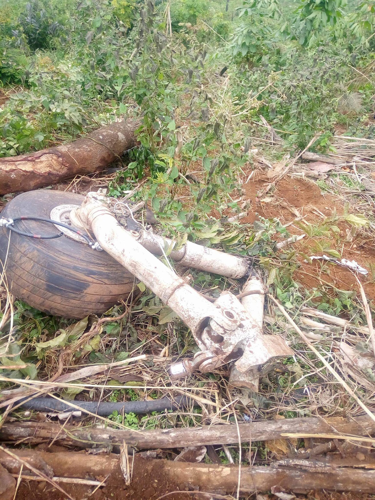
Crash of a Let L-410UVP near Souguéta: 4 killed

Date & Time: Jun 24, 2018 at 1030 LT
Type of aircraft:
Registration:
3X-AAJ
Flight Phase:
Survivors:
No
Site:
Schedule:
Sal - Conakry – Lero
MSN:
85 14 03
YOM:
1985
Country:
Region:
Crew on board:
2
Crew fatalities:
Pax on board:
2
Pax fatalities:
Other fatalities:
Total fatalities:
4
Circumstances:
The twin engine airplane was carrying two technicians and two pilots bound for a mine field located near Lero, Kankan. It made an intermediate stop at Conakry on a flight from Sal, Cape Verde. En route, the crew encountered poor weather conditions with low clouds and fog when the airplane struck the slope of a mountain and disintegrated on impact. All four occupants were killed.

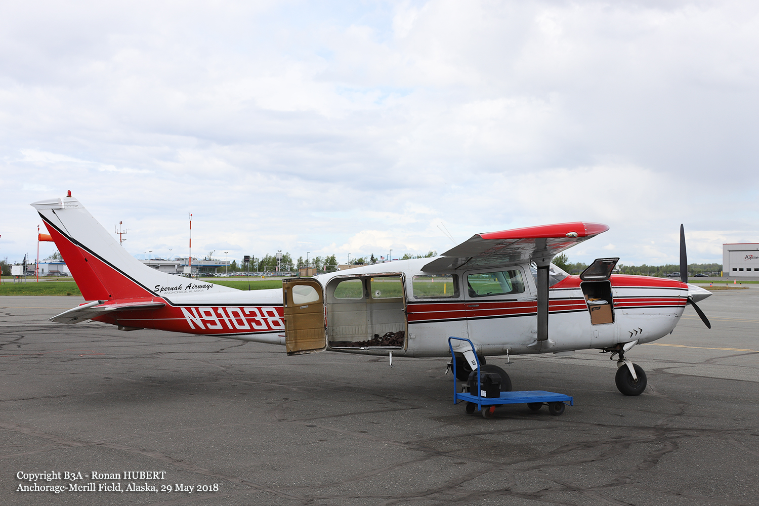
Crash of a Cessna 207 Skywagon in the Susitna River: 1 killed

Date & Time: Jun 13, 2018 at 1205 LT
Operator:
Registration:
N91038
Flight Phase:
Flight Type:
Survivors:
No
Schedule:
Anchorage - Tyonek
MSN:
207-0027
YOM:
1969
Crew on board:
1
Crew fatalities:
Pax on board:
0
Pax fatalities:
Other fatalities:
Total fatalities:
1
Captain / Total flying hours:
1442
Captain / Total hours on type:
514.00
Aircraft flight hours:
31711
Circumstances:
Two wheel-equipped, high-wing airplanes, a Cessna 207 and a Cessna 175, collided midair while in cruise flight in day visual meteorological conditions. Both airplanes were operating under visual flight rules, and neither airplane was in communication with an air traffic control facility. The Cessna 175 pilot stated that he was making position reports during cruise flight about 1,000ft above mean sea level when he established contact with the pilot of another airplane, which was passing in the opposite direction. As he watched that airplane pass well below him, he noticed the shadow of a second airplane converging with the shadow of his airplane from the opposite direction. He looked forward and saw the spinner of the converging airplane in his windscreen and immediately pulled aft on the control yoke; the airplanes subsequently collided. The Cessna 207 descended uncontrolled into the river. Although damaged, the Cessna 175 continued to fly, and the pilot proceeded to an airport and landed safely. An examination of both airplanes revealed impact signatures consistent with the two airplanes colliding nearly head-on. About 4 years before the accident, following a series of midair collisions in the Matanuska Susitna (MatSu) Valley (the area where the accident occurred), the FAA made significant changes to the common traffic advisory frequencies (CTAF) assigned north and west of Anchorage, Alaska. The FAA established geographic CTAF areas based, in part, on flight patterns, traffic flow, private and public airports, and off-airport landing sites. The CTAF for the area where the accident occurred was at a frequency changeover point with westbound Cook Inlet traffic communicating on 122.70 and eastbound traffic on 122.90 Mhz. The pilot of the Cessna 175, which was traveling on an eastbound heading at the time of the accident, reported that he had a primary active radio frequency of 122.90 Mhz, and a nonactive secondary frequency 135.25 Mhz in his transceiver at the time of the collision. The transceivers from the other airplane were not recovered, and it could not be determined whether the pilot of the Cessna 207 was monitoring the CTAF or making position reports.
Probable cause:
The failure of both pilots to see and avoid the other airplane while in level cruise flight, which resulted in a midair collision.
Final Report:
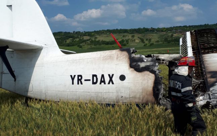
Crash of a PZL-Mielec AN-2R in Băleni

Date & Time: Jun 6, 2018 at 1410 LT
Type of aircraft:
Operator:
Registration:
YR-DAX
Flight Phase:
Survivors:
Yes
Schedule:
Băleni - Băleni
MSN:
1G216-16
YOM:
1990
Country:
Region:
Crew on board:
2
Crew fatalities:
Pax on board:
0
Pax fatalities:
Other fatalities:
Total fatalities:
0
Captain / Total hours on type:
3209.00
Copilot / Total hours on type:
8684
Circumstances:
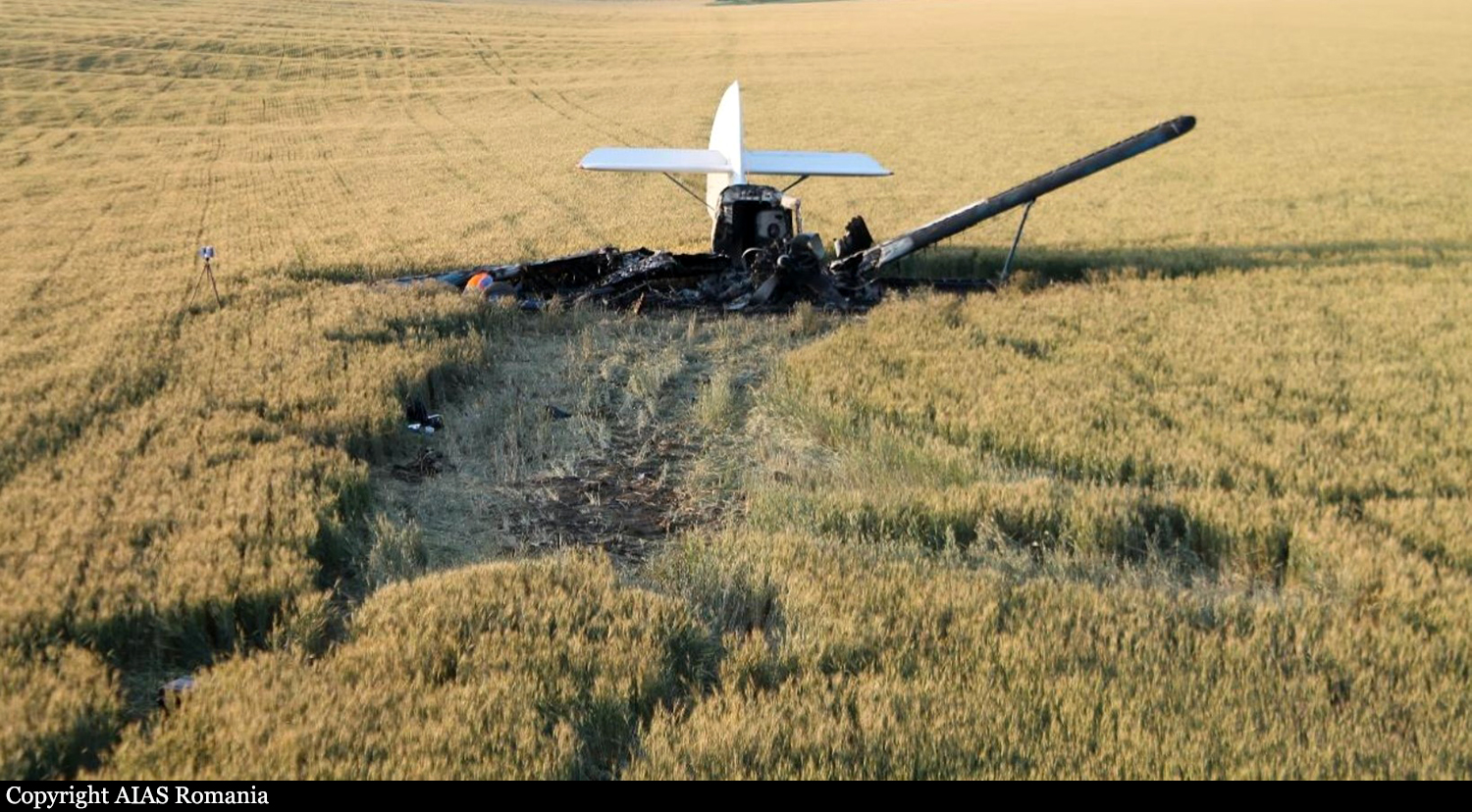
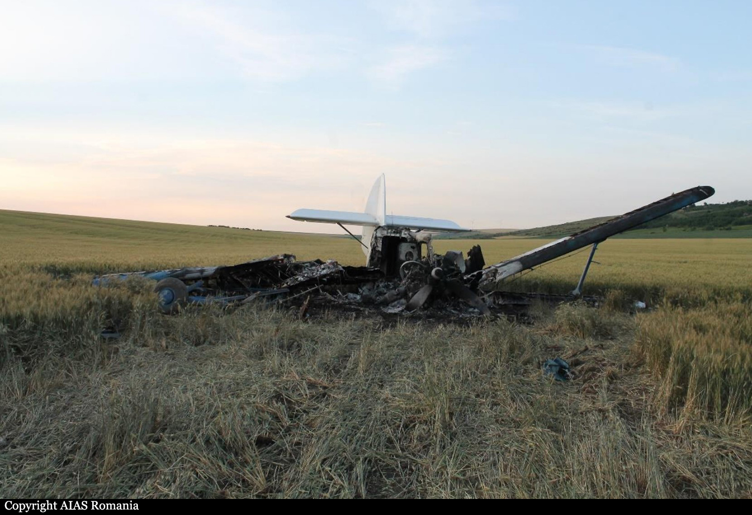
The crew was completing a crop spraying flight in Băleni and was spraying insecticides on fields. While passing from a field to an other, the crew failed to realize his altitude was insufficient when, passing over a road, the airplane struck the roof of a truck. Out of control, the airplane crash landed in a field and came to rest, bursting into flames. Both pilots were injured and the aircraft was destroyed by a post crash fire.
Probable cause:
The accident was the consequence of a loss of control following an in-flight collision with a truck. The crew failed to observe the potential traffic passing on the road while flying at a very low height of three metres above the ground, which was considered as a contributing factor.
Final Report:

Crash of a Cessna 208B Grand Caravan in Mt Aberdare: 10 killed

Date & Time: Jun 5, 2018 at 1702 LT
Type of aircraft:
Operator:
Registration:
5Y-CAC
Flight Phase:
Survivors:
No
Site:
Schedule:
Kitale – Nairobi
MSN:
208B-0525
YOM:
1996
Flight number:
EXZ102
Country:
Region:
Crew on board:
2
Crew fatalities:
Pax on board:
8
Pax fatalities:
Other fatalities:
Total fatalities:
10
Captain / Total flying hours:
2352
Circumstances:
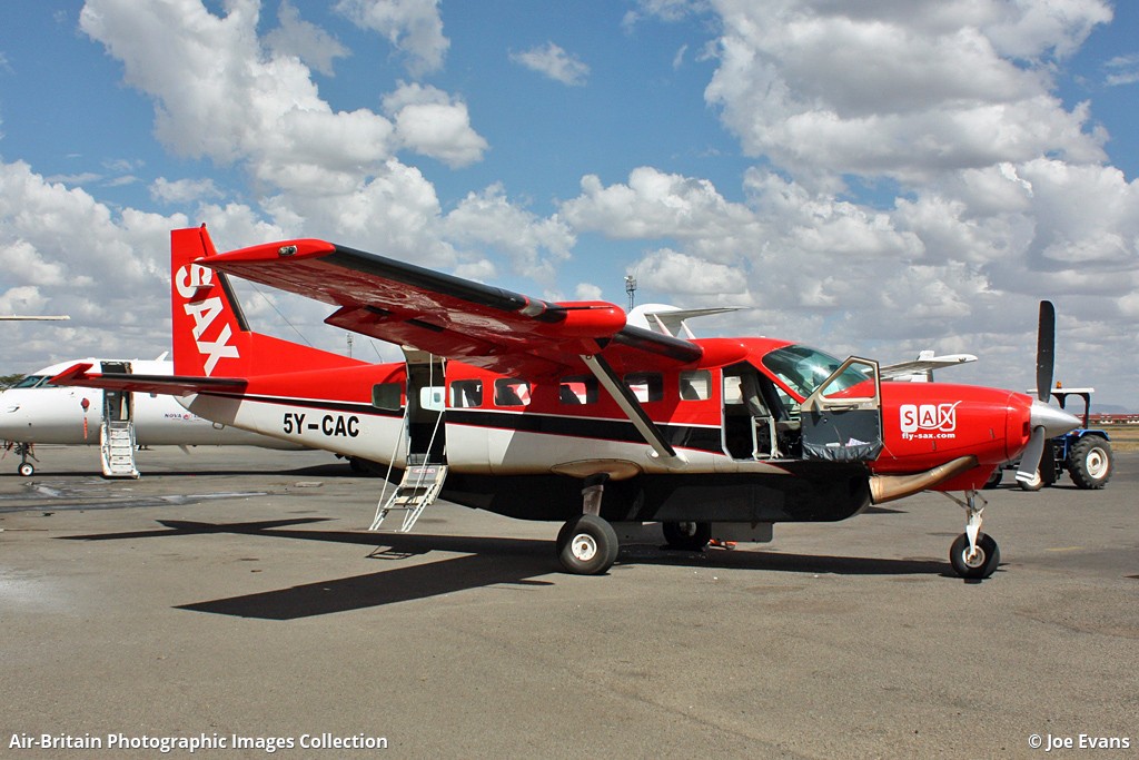
The aircraft took-off from Kitale Airstrip (HKKT) at 16.05 hours and set course to Jomo Kenyatta International Airport (HKJK) after climbing to FL 110 with ten onboard. Once established, there were slight peripheral variations in groundspeed and track. The aircraft Flight Level was sustained at 110 with some occasional deviations. Aircraft height above ground level (AGL) varied between 1,102 feet and 4,187 feet. One minute before its impact with the cliff, the aircraft was at 11,100 feet or 3,000 feet AGL, 159 knots ground speed, and tracking radial 338 NV. Immediately before radar signal was lost, the elevation of the highest ground level was 12,876 feet, the aircraft altitude was 11,200 feet, the ground speed was 156 knots, and track was radial 339 NV. Information retrieved from the Radar transcript recorded various parameters of the aircraft from 1605hrs up to 1702hrs, the time radar signal was lost. This information was consistent with information extracted from the on-board equipment the ST3400 and the aera GPS. The radar system transmits information including aircraft position in relation to NV VOR, Flight Level or altitude, ground speed, vertical speed and heading. Information retrieved from the GPS captured the last recorded time, date and location as 14:00:52, on 06/05/2018 and elevation 3,555.57 metres. The aircraft impacted the bamboo-covered terrain at an elevation of 3,645 metres at 0.36’56’’S 36 42’44’’ where the wreckage was sited. The aircraft was totally destroyed by impact forces and all 10 occupants were killed.
Probable cause:
The flight crew's inadequate flight planning and the decision to fly instrument flight rules (IFR) at an altitude below the published Minimum Sector Altitude in the Standard Instrument Arrival Chart under instrument meteorological conditions (IMC), and their failure to perform an immediate escape maneuver following TAWS alert, which resulted in controlled flight into terrain (CFIT).
Contributing Factors:
1. Contributing to the accident were the operator's inadequate crew resource management (CRM) training, inadequate procedures for operational control and flight release.
2. Also contributing to the accident was the Kenya Civil Aviation Authority's failure to hold the operator accountable for correcting known operational deficiencies and ensuring compliance with its operational control procedures.
3. There was no requirement for crew to be trained in CFIT avoidance ground training tailored to the company’s operations that need to address current CFIT-avoidance technologies.
4. Use of non-documented procedure and Clearance by the ATC to fly below the published minimum sector altitude.
5. Lack of situational awareness by the radar safety controller while monitoring flights within the radar service section.
Final Report:

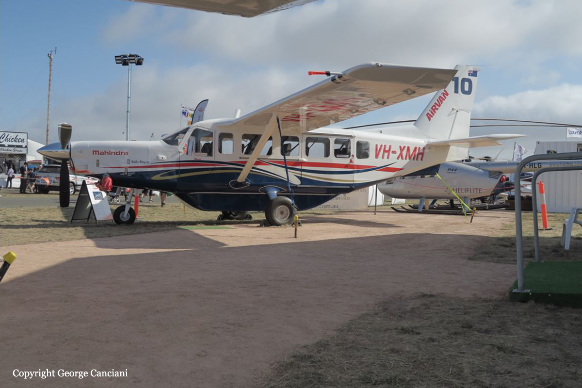
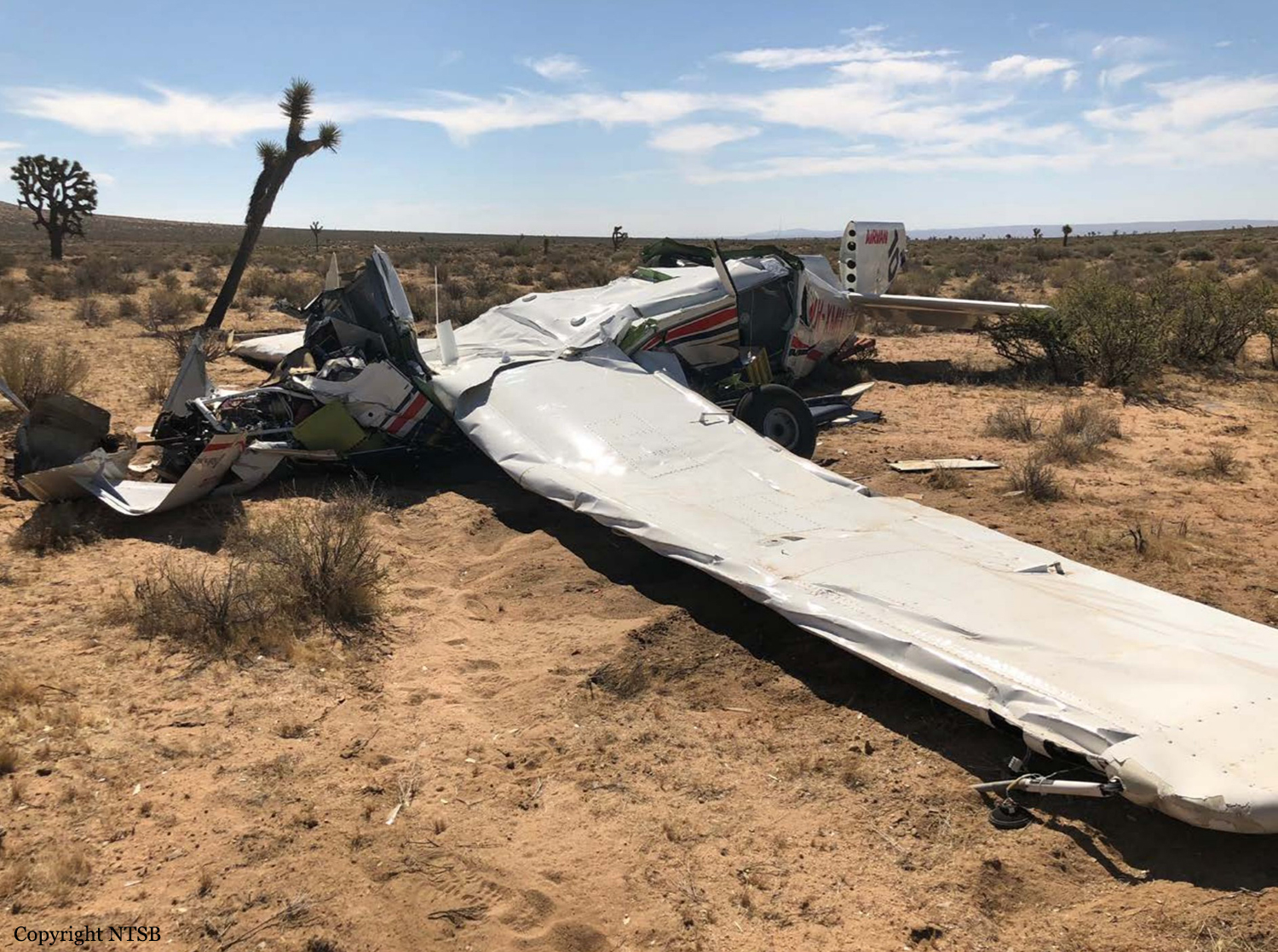
Crash of a GippsAero GA10 Airvan near Mojave

Date & Time: Jun 4, 2018 at 1152 LT
Type of aircraft:
Operator:
Registration:
VH-XMH
Flight Phase:
Flight Type:
Survivors:
Yes
Schedule:
Mojave - Mojave
MSN:
GA10-TP450-16-101
YOM:
2016
Crew on board:
2
Crew fatalities:
Pax on board:
0
Pax fatalities:
Other fatalities:
Total fatalities:
0
Captain / Total flying hours:
9767
Captain / Total hours on type:
46.00
Copilot / Total flying hours:
10980
Copilot / Total hours on type:
287
Aircraft flight hours:
113
Circumstances:
The airplane manufacturer was conducting spin flight testing for the installation of a cargo pod when the airplane exhibited aberrant behavior and the testing was halted. The chief design engineer (CDE) was consulted, and, to provide a margin of safety for further flights, a forward center of gravity position was authorized for flaps up and flaps takeoff entries to gain more insight into the airplane's behavior on the previous flight. At the final briefing, before the next flight, the flight crew added spins with flaps in the landing configuration (flaps landing) into the test plan without the CDE's consultation or authorization. According to the pilot flying, after two wings-level, power on, flaps landing spins with left rudder and right aileron, a third spin entry was flown in the same configuration except that the entry was from a 30° left-bank turn. The airplane entered a normal spin, and, at one turn, flight controls were inputted for a normal recovery; however, the airplane settled into a fully developed spin. When recovery attempts failed, the decision was made to deploy the anti-spin parachute. After repeated unsuccessful attempts to deploy the anti-spin parachute, and when the airplane's altitude reached about 500 ft above the briefed minimum bailout altitude, both pilots called for and executed a bailout. The airplane impacted the ground and was destroyed. A postaccident examination of the anti-spin parachute system revealed that half of the connector hook had opened, which allowed the activation pin lanyard for the anti-spin parachute to become disengaged. Based on the airplane's previous aberrant behavior and the conservative parameters that the CDE had previously set, it is not likely that the CDE would have authorized abused spin entries without a prior testing buildup to those entries. Thus, the flight crew made an inappropriate decision to introduce flaps landing entry spin testing, and the failure of the anti-spin parachute contributed to the accident.
Probable cause:
The flight crew's inappropriate decision, without authorization or consultation from the manufacturer's chief design engineer, to introduce flaps in the landing configuration into the entry spin testing, which resulted in an unrecoverable spin and impact with the ground. Contributing to the accident was the failure of the anti-spin parachute.
Final Report:

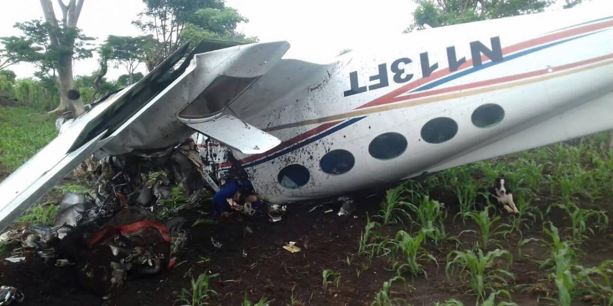
Crash of a Cessna 421 Golden Eagle near Génova: 2 killed

Date & Time: May 27, 2018
Type of aircraft:
Operator:
Registration:
N113FT
Flight Phase:
Flight Type:
Survivors:
No
Schedule:
Guatemala City – El Petén
Country:
Crew on board:
2
Crew fatalities:
Pax on board:
0
Pax fatalities:
Other fatalities:
Total fatalities:
2
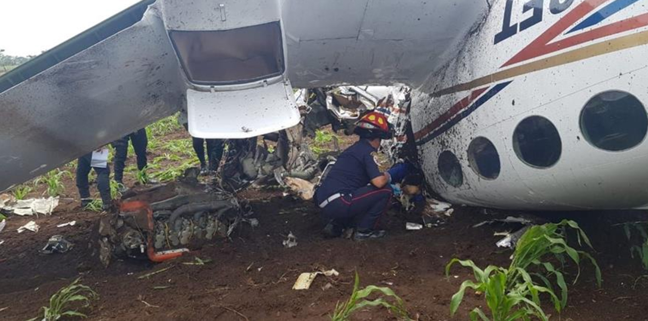
Circumstances:
The twin engine aircraft crashed in unknown circumstances in an open field located near Génova. The aircraft came to rest upside down and both occupants were killed. It is understood that the registration was false as N113FT is officially attributed to a Piper PA-46 according to the FAA. Thus, it is believed that the flight was illegal.