Crash of a Cessna 401 in Tapachula: 1 killed

Date & Time: Oct 19, 2021 at 0716 LT
Type of aircraft:
Operator:
Registration:
XB-RQE
Flight Phase:
Survivors:
No
Schedule:
Tapachula – Tapachula
MSN:
401-0268
YOM:
1969
Country:
Crew on board:
1
Crew fatalities:
Pax on board:
0
Pax fatalities:
Other fatalities:
Total fatalities:
1
Captain / Total flying hours:
1647
Captain / Total hours on type:
1397.00
Aircraft flight hours:
5237
Circumstances:
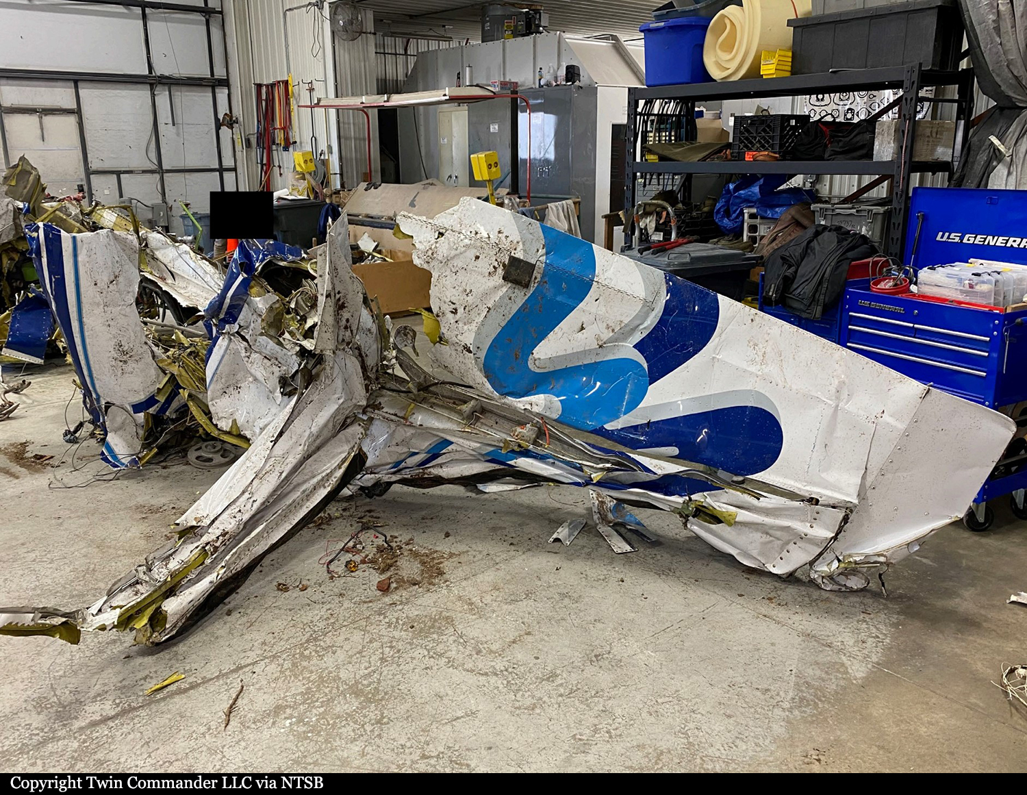
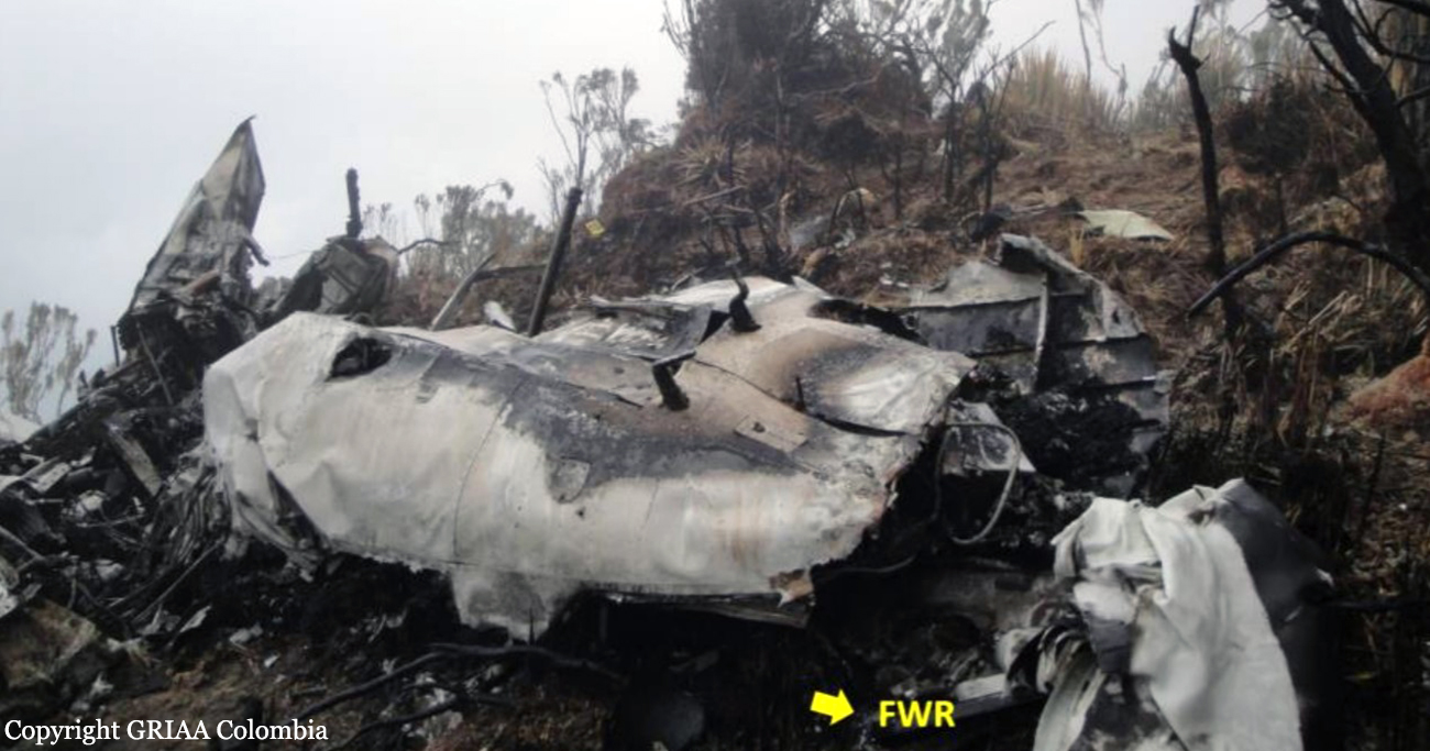
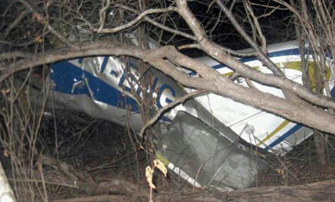
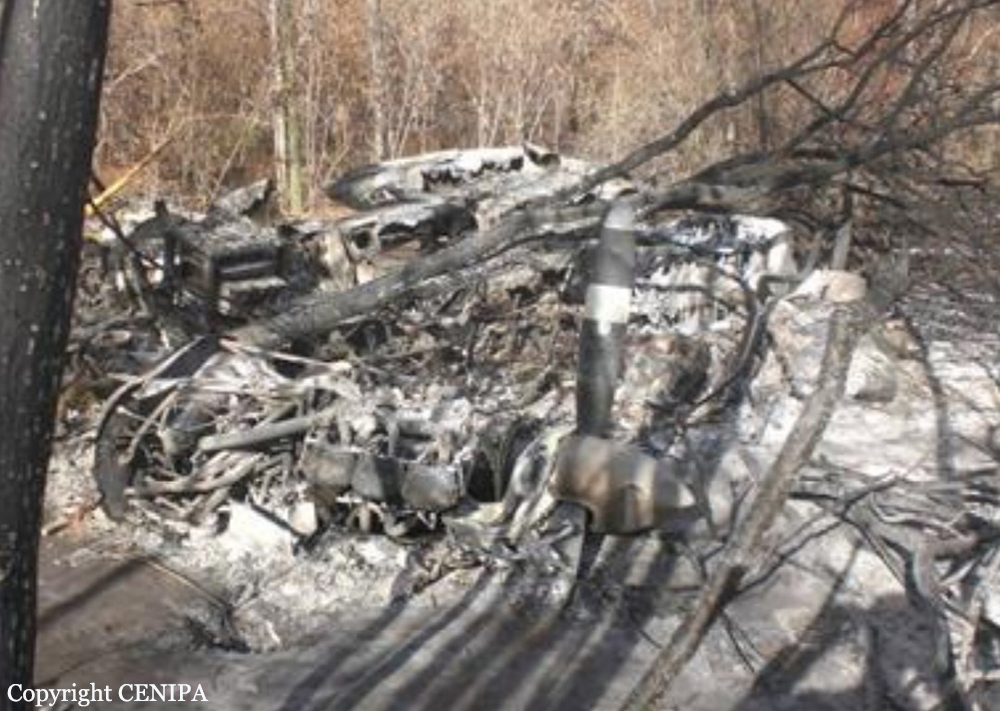
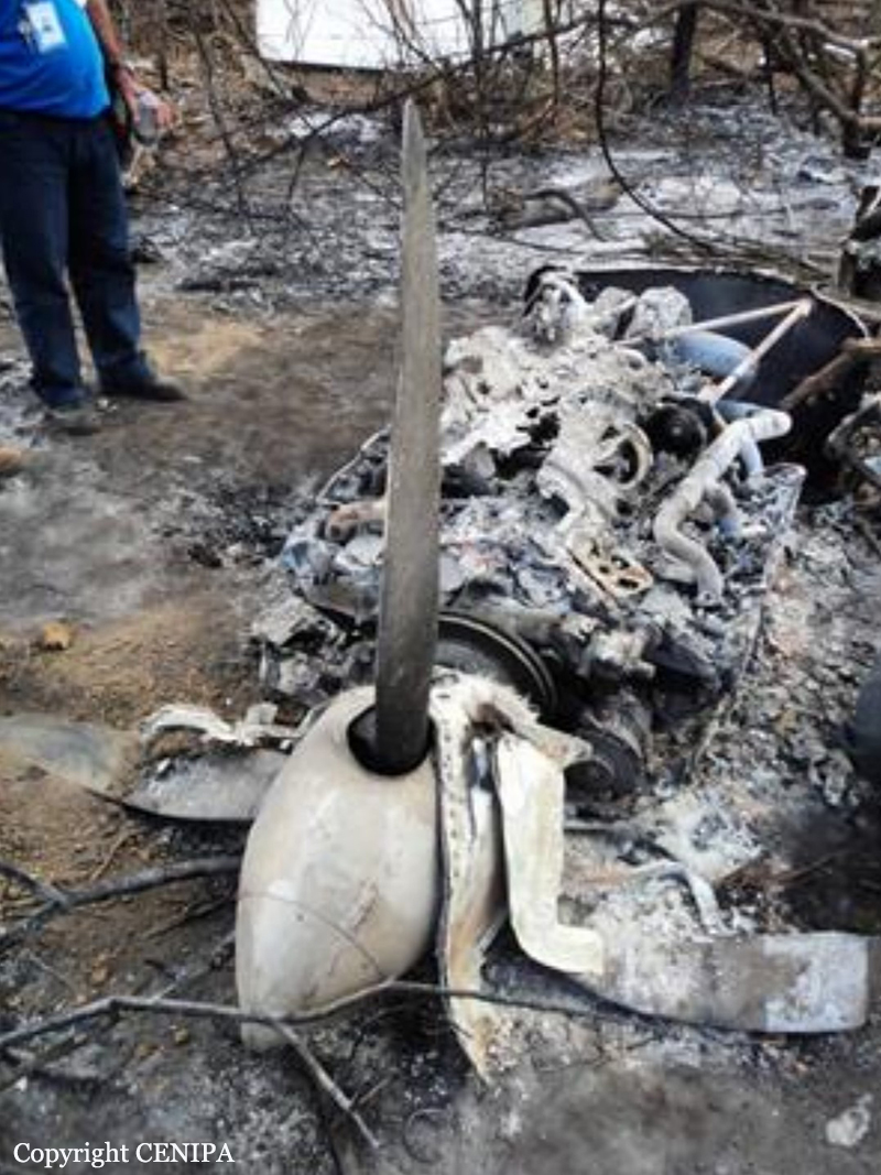
The pilot, sole on board, departed Tapachula Airport on a local flight to release Mediterranean flies. A flight plan of four hours was filed, with an altitude of 9,500 feet. The flies should be released in an area corresponding to 60 - 100 NM around the Tapachula VOR. Shortly after takeoff from Tapachula Airport Runway 05, while climbing to an altitude of 1,000 feet, the pilot reported engine problems. The aircraft turned to the right then entered an uncontrolled descent until it crashed in a mango plantation. The airplane was destroyed and the pilot was killed.
Probable cause:
Impact of the aircraft against the ground during a tight turn towards the side of the right engine, which showed inadequate performance.
The following contributing factors were identified:
- Continuing the flight despite intermittent failures in the fuel flow of engine number 2,
- Failure to adhere to the abnormal engine failure procedure during takeoff,
- Fatigue fracture of the fuel pump shaft of engine number 2.
Final Report:

Crash of a Rockwell 690B Turbo Commander near Hiles: 3 killed

Date & Time: Sep 28, 2021 at 0900 LT
Operator:
Registration:
N690LS
Flight Phase:
Survivors:
No
Schedule:
Rhinelander - Rhinelander
MSN:
690-11475
YOM:
1978
Location:
Crew on board:
1
Crew fatalities:
Pax on board:
2
Pax fatalities:
Other fatalities:
Total fatalities:
3
Captain / Total flying hours:
1019
Captain / Total hours on type:
300.00
Aircraft flight hours:
7854
Circumstances:
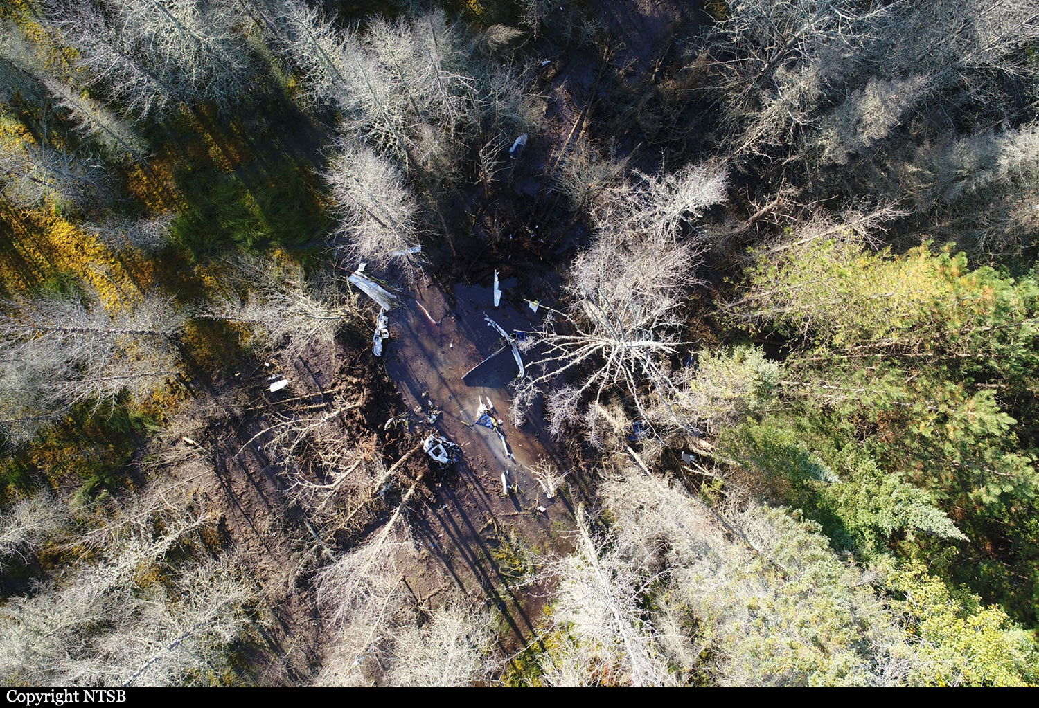
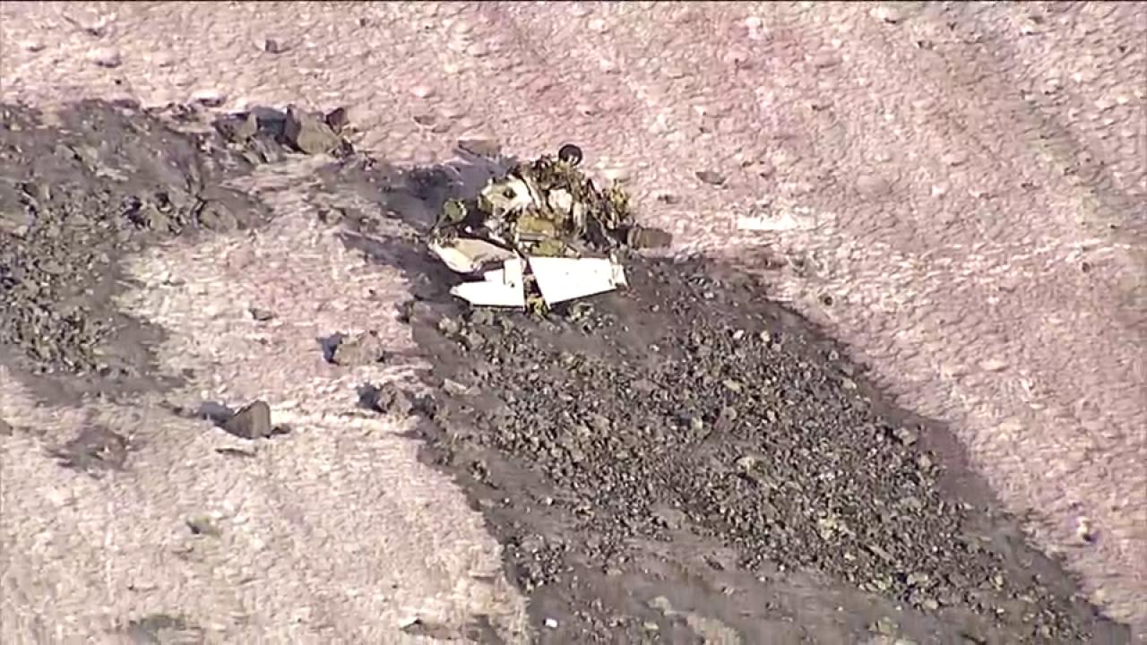
The company pilot and two employees had departed on an aerial imagery survey flight of forest vegetation. The airplane began to level off at an altitude of about 16,100 ft mean sea level (msl) and accelerated to a maximum recorded groundspeed of 209 knots. Less than 2 minutes later, the groundspeed decreased to about 93 knots, and the airplane descended about 500 ft while on a steady heading. The airplane subsequently entered a rapid descent and a right turn, and “mayday, mayday, mayday” and “we’re in a spin” transmissions were broadcast to air traffic control (ATC). A witness, who was located near the accident site, noticed the airplane nose down at high rate of speed and then saw the airplane spinning rapidly about its longitudinal axis. The airplane wreckage was located in remote wetlands and wooded terrain. Postaccident examination revealed that the airplane impacted the ground in a nose-low vertical attitude and at high speed. All major components of the airplane were located at the accident site. Examination of the airframe, engines, and propellers revealed no preimpact mechanical malfunctions or failures that would have precluded normal operation. According to the aircraft performance study for this accident, when the airplane pitched down, the normal load factor decreased rapidly from about 1.6 to less than 1 G. A rapid decrease in normal load factor is consistent with a stall when the wing exceeds its critical angle of attack. At that point, the air flow becomes separated at the wing, and the wing can no longer generate the necessary lift. If the airplane is in uncoordinated flight at the stall, a spin can result. Thus, the pilot likely did not maintain adequate airspeed, causing the airplane to exceed its critical angle of attack and enter a stall and spin. An important but unknown factor before and during the initial stall was the behavior of the pilot regarding his flight control inputs, including his possible attempt to recover. The airplane’s Pilot Operating Handbook states that spins are not authorized and does not include a procedure for inadvertent spin recovery.
Probable cause:
The pilot’s failure to maintain adequate airspeed, which caused the airplane to exceed its critical angle of attack and enter an inadvertent stall and spin.
Final Report:

Crash of a Piper PA-31-310 Navajo C on Mt Rae: 2 killed

Date & Time: Aug 1, 2018 at 1336 LT
Type of aircraft:
Operator:
Registration:
C-FNCI
Flight Phase:
Survivors:
No
Site:
Schedule:
Penticton - Calgary
MSN:
31-8112007
YOM:
1981
Location:
Country:
Crew on board:
1
Crew fatalities:
Pax on board:
1
Pax fatalities:
Other fatalities:
Total fatalities:
2
Captain / Total flying hours:
4400
Captain / Total hours on type:
2800.00
Aircraft flight hours:
7277
Circumstances:
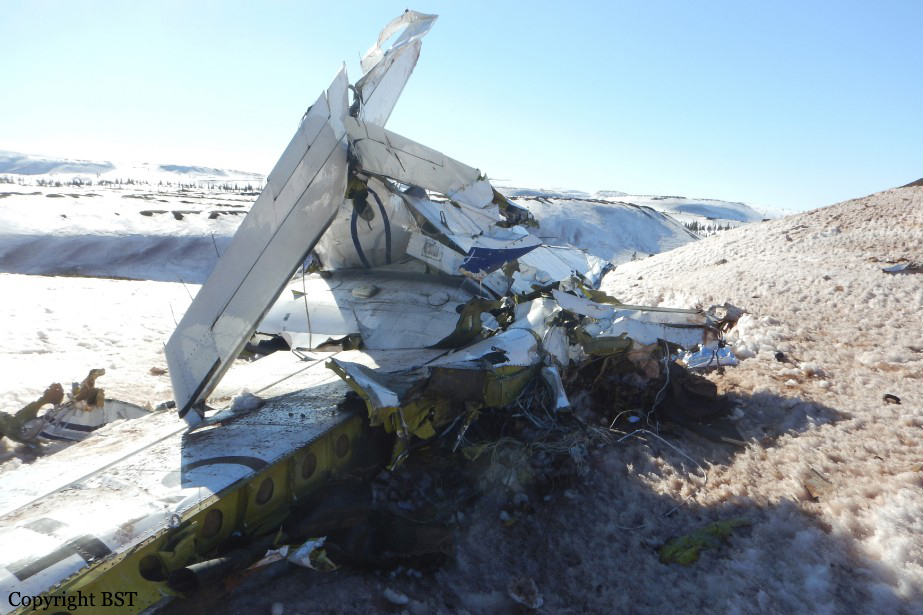
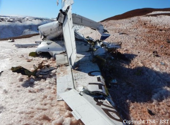
On 01 August 2018, after completing 2 hours of survey work near Penticton, British Columbia (BC), an Aries Aviation International Piper PA-31 aircraft (registration C-FNCI, serial number 31-8112007) proceeded on an instrument flight rules flight plan from Penticton Airport (CYYF), BC, to Calgary/Springbank Airport (CYBW), Alberta, at 15 000 feet above sea level. The pilot and a survey technician were on board. When the aircraft was approximately 40 nautical miles southwest of CYBW, air traffic control began sequencing the aircraft for arrival into the Calgary airspace and requested that the pilot slow the aircraft to 150 knots indicated airspeed and descend to 13 000 feet above sea level. At this time, the right engine began operating at a lower power setting than the left engine. About 90 seconds later, at approximately 13 500 feet above sea level, the aircraft departed controlled flight. It collided with terrain near the summit of Mount Rae at 1336 Mountain Daylight Time. A brief impact explosion and fire occurred during the collision with terrain. The pilot and survey technician both received fatal injuries. The Canadian Mission Control Centre received a 406 MHz emergency locator transmitter signal from the occurrence aircraft and notified the Trenton Joint Rescue Coordination Centre. Search and rescue arrived on site approximately 1 hour after the accident.
Probable cause:
Findings as to causes and contributing factors:
1. The pilot did not continuously use oxygen above 13 000 feet and likely became hypoxic as the aircraft climbed to 15 000 feet. The pilot did not recognize his symptoms or take action to restore his supply of oxygen.
2. As a result of hypoxia-related cognitive and perceptual degradations, the pilot was unable to maintain effective control of the aircraft or to respond appropriately to the asymmetric power condition.
3. The aircraft departed controlled flight and entered a spin to the right because the airspeed was below both the published minimum control speed in the air and the stall speed, and because there was a significant power asymmetry, a high angle of attack, and significant asymmetric drag from the windmilling propeller of the right engine.
4. When the aircraft exited cloud, the pilot completed only 1 of the 7 spin-recovery steps: reducing the power to idle. As the aircraft continued to descend, the pilot took no further recovery action, except to respond to air traffic control and inform the controller that there was an emergency.

Findings as to risk:
1. If flight crews do not undergo practical hypoxia training, there is a risk that they will not recognize the onset of hypoxia when flying above 13 000 feet without continuous use of supplemental oxygen.

Other findings:
1. The weather information collected during the investigation identified that the loss of control was not due to in-flight icing, thunderstorms, or turbulence.
2. Because the Appareo camera had been bumped and its position changed, the pilot’s actions on the power controls could not be determined. Therefore, the investigation was unable to determine whether the power asymmetry was the result of power-quadrant manipulation by the pilot or of an aircraft system malfunction.
3. The flight path data, audio files, and image files retrieved from the Appareo system enabled the investigators to better understand the underlying factors that contributed to the accident.
Final Report:

Crash of a Piper PA-31-310 Navajo in Schefferville: 2 killed

Date & Time: Apr 30, 2017 at 1756 LT
Type of aircraft:
Operator:
Registration:
C-FQQB
Survivors:
No
Schedule:
Schefferville - Schefferville
MSN:
31-310
YOM:
1968
Country:
Crew on board:
2
Crew fatalities:
Pax on board:
0
Pax fatalities:
Other fatalities:
Total fatalities:
2
Captain / Total flying hours:
461
Captain / Total hours on type:
110.00
Copilot / Total flying hours:
1693
Copilot / Total hours on type:
650
Aircraft flight hours:
20180
Circumstances:
The Piper PA-31 (registration C-FQQB, serial number 31-310) operated by Exact Air Inc., with 2 pilots on board, was conducting its 2nd magnetometric survey flight of the day, from Schefferville Airport, Quebec, under visual flight rules. At 1336 Eastern Daylight Time, the aircraft took off and began flying toward the survey area located 90 nautical miles northwest of the airport. After completing the magnetometric survey work at 300 feet above ground level, the aircraft began the return flight segment to Schefferville Airport. At that time, the aircraft descended and flew over the terrain at an altitude varying between 100 and 40 feet above ground level. At 1756, while the aircraft was flying over railway tracks, it struck power transmission line conductor cables and crashed on top of a mine tailings deposit about 3.5 nautical miles northwest of Schefferville Airport. Both occupants were fatally injured. The accident occurred during daylight hours. Following the impact, there was no fire, and no emergency locator transmitter signal was captured.
Probable cause:
Findings:
Findings as to causes and contributing factors:
- Sensation seeking, mental fatigue, and an altered risk perception very likely contributed to the fact that, immediately after completing the magnetometric survey work, the pilot flying descended to an altitude varying between 100 and 40 feet above ground level and maintained this altitude until the aircraft collided with the wires.
- It is highly likely that the pilots were unaware that there was a power transmission line in their path.
- The pilot flying did not detect the power transmission line in time to avoid it, and the aircraft collided with the wires, which were 70 feet above the ground.
- Despite the warning regarding low-altitude flying in the Transport Canada Aeronautical Information Manua, and in the absence of minimum-altitude restrictions imposed by the company, the pilot chose to descend to a very low altitude on the return flight; as a result, this flight segment carried an unacceptable level of risk.

Findings as to risk:
- If pilots fly at low altitude, there is a risk that they will collide with wires, given that these are extremely difficult to see in flight.
- If lightweight flight data recording systems are not used to closely monitor flight operations, there is a risk that pilots will deviate from established procedures and limits, thereby reducing safety margins.
- If Transport Canada does not take concrete measures to facilitate the use of lightweight flight data recording systems and flight data monitoring, there is a risk that operators will be unable to proactively identify safety deficiencies before they cause an accident.
- If safety management systems are not required, assessed, and monitored by Transport Canada in order to ensure continual improvement, there is an increased risk that companies will be unable to effectively identify and mitigate the hazards involved in their operations.
- Not wearing a safety belt increases the risk of injury or death in an accident.
- The current emergency locator transmitter system design standards do not include a requirement for a crashworthy antenna system. As a result, there is a risk that potentially life-saving search‑and‑rescue services will be delayed if an emergency locator transmitter antenna is damaged during an occurrence.
Final Report:
Crash of a Cessna 208B Grand Caravan near Yumbo: 3 killed

Date & Time: Oct 14, 2015 at 1146 LT
Type of aircraft:
Operator:
Registration:
PR-MIC
Flight Phase:
Survivors:
No
Site:
Schedule:
Cali - Cali
MSN:
208B-0841
YOM:
2000
Country:
Crew on board:
3
Crew fatalities:
Pax on board:
0
Pax fatalities:
Other fatalities:
Total fatalities:
3
Captain / Total flying hours:
9388
Captain / Total hours on type:
4155.00
Copilot / Total flying hours:
6343
Copilot / Total hours on type:
1029
Aircraft flight hours:
10519
Circumstances:
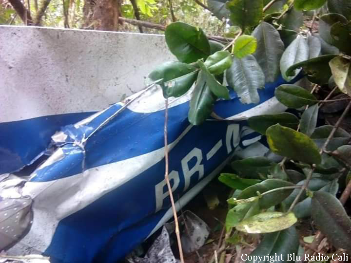
The single engine airplane departed Cali-Alfonso Bonilla Aragón Airport on an geophysical exploration mission of the south part of Chocó, carrying three crew members, two pilots and one operator in charge of the LIDAR equipment. At 1144LT, the crew reported his altitude at 5,600 feet. Two minutes later, while cruising in poor visibility, the aircraft struck trees and crashed in wooded and hilly terrain near Yambo. The wreckage was found few hours later and all three occupants were killed.
Probable cause:
The following factors were identified:
- Controlled flight into terrain,
- Execution of a VFR flight in reduced visibility weather conditions,
- Poor decision making by the crew in continuing VFR operation as they were in an environment of significantly reduced visibility,
- Inadequate operational risk assessment due to the lack of familiarity of the foreign crew with the topography and meteorological evolution of the sector.
Final Report:
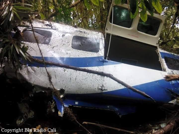
Crash of a Piper PA-31-310 Navajo in Los Camastros: 1 killed

Date & Time: Oct 2, 2015 at 1203 LT
Type of aircraft:
Operator:
Registration:
C-GCMD
Flight Phase:
Survivors:
No
MSN:
31-7912101
YOM:
1979
Location:
Country:
Crew on board:
1
Crew fatalities:
Pax on board:
0
Pax fatalities:
Other fatalities:
Total fatalities:
1
Circumstances:
The pilot, sole on board, departed Managua-Augusto C. Sandino Airport at 0934LT on a flight for the Australian Company CSA Global, taking part to a geological mission dedicated to the construction of a canal. In unknown circumstances, the twin engine aircraft went out of control and crashed in a field located in Los Camastros, about one km north of Veracruz. The pilot was killed and maybe tried to use a parachute before the crash as one was found in the wreckage.

Crash of a Britten Norman BN-2T Islander near Dawlatabad

Date & Time: Jan 20, 2015
Type of aircraft:
Operator:
Registration:
ZS-NAT
Flight Phase:
Survivors:
Yes
MSN:
2158
YOM:
1986
Country:
Region:
Crew on board:
2
Crew fatalities:
Pax on board:
0
Pax fatalities:
Other fatalities:
Total fatalities:
0
Circumstances:
The aircraft was completing a geophysical mission on behalf of Xcalibur Airborne Geophysics, with two pilots on board. En route, the crew encountered an unexpected situation and attempted an emergency landing. The aircraft crash landed in a rocky terrain, lost its undercarriage and came to rest. Both occupants escaped uninjured and the aircraft was damaged beyond repair.

Crash of a Piper PA-31-310 Navajo near Coromoro: 2 killed

Date & Time: May 3, 2014 at 1023 LT
Type of aircraft:
Operator:
Registration:
C-GSVM
Flight Phase:
Survivors:
No
Site:
Schedule:
Bucaramanga - Bucaramanga
MSN:
31-109
YOM:
1968
Country:
Crew on board:
1
Crew fatalities:
Pax on board:
1
Pax fatalities:
Other fatalities:
Total fatalities:
2
Captain / Total flying hours:
4000
Captain / Total hours on type:
1400.00
Aircraft flight hours:
11000
Circumstances:
The twin engine aircraft departed Bucaramanga-Palonegro Airport at 0804LT on a geophysical mission over the Coromoro Region, Santander. At 1000LT, the last radio contact was recorded with the pilot. While flying in marginal weather conditions (low clouds), the aircraft impacted the slope of a mountain located near Coromoro. The wreckage was found two days later at an altitude of 4,500 metres, some 98 km south of Bucaramanga. The aircraft disintegrated on impact and both occupants were killed, among them Peter Moore, co-founder of Oracle Geoscience International and Neville Ribeiro, the pilot.
Probable cause:
Controlled flight into terrain after the pilot was flying under VFR mode in IMC conditions. It was determined that the accident occurred after the pilot suffered a loss of situational awareness while flying under VFR mode in low clouds conditions.
Final Report:

Crash of an Embraer EMB-820C Navajo near Espinosa: 1 killed

Date & Time: Jul 6, 2012 at 1050 LT
Operator:
Registration:
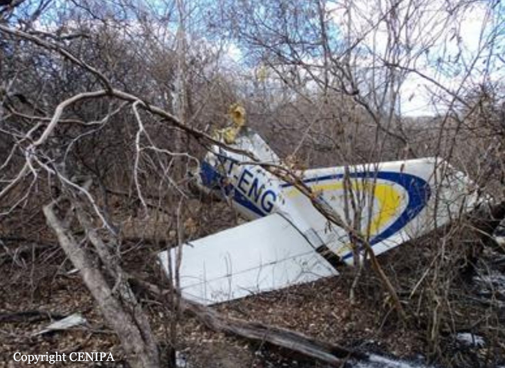
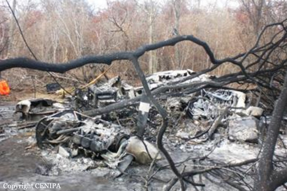
PT-ENG
Flight Phase:
Survivors:
Yes
Schedule:
Gunanmbi - Guanambi
MSN:
820-066
YOM:
1982
Country:
Crew on board:
1
Crew fatalities:
Pax on board:
2
Pax fatalities:
Other fatalities:
Total fatalities:
1
Captain / Total flying hours:
3876
Captain / Total hours on type:
238.00
Circumstances:
The twin aircraft departed Guanambi Airport to perform a low level survey flight in the region of Espinosa, carrying two observers and one pilot. About two hours into the flight, while cruising at an altitude of 330 feet, the right engine lost power then failed. While executing the emergency checklist, the left engine failed as well. The pilot attempted an emergency landing when the aircraft crashed in a wooded area, bursting into flames. Both passengers evacuated with minor injuries and the pilot was killed. The aircraft was totally destroyed by a post crash fire.
Probable cause:
There was sufficient fuel in the tanks at the time of the accident as the aircraft was refueled prior to departure for a 5-hour flight. The exact cause of the double engine failure remains unknown. When the right engine failed, the pilot was flying at an altitude of 330 feet which was below the minimum safe altitude fixed at 500 feet. Also, he was apparently using his cell phone.
Final Report:

Crash of a Casa 212 Aviocar in Saskatoon: 1 killed

Date & Time: Apr 1, 2011 at 1830 LT
Type of aircraft:
Operator:
Registration:
C-FDKM
Survivors:
Yes
Site:
Schedule:
Saskatoon - Saskatoon
MSN:
196
YOM:
1981
Country:
Crew on board:
3
Crew fatalities:
Pax on board:
0
Pax fatalities:
Other fatalities:
Total fatalities:
1
Captain / Total flying hours:
7400
Captain / Total hours on type:
75.00
Copilot / Total flying hours:
7800
Copilot / Total hours on type:
1800
Aircraft flight hours:
21292
Circumstances:
At 1503 Central Standard Time, the Construcciones Aeronauticas SA (CASA) C-212-CC40 (registration C-FDKM, serial number 196) operated by Fugro Aviation Canada Ltd., departed from Saskatoon/Diefenbaker International Airport, Saskatchewan, under visual flight rules for a geophysical survey flight to the east of Saskatoon. On board were 2 pilots and a survey equipment operator. At about 1814, the right engine lost power. The crew shut it down, carried out checklist procedures, and commenced an approach for Runway 27. When the flight was 3.5 nautical miles from the runway on final approach, the left engine lost power. The crew carried out a forced landing adjacent to Wanuskewin Road in Saskatoon. The aircraft impacted a concrete roadway noise abatement wall and was destroyed. The survey equipment operator sustained fatal injuries, the first officer sustained serious injuries, and the captain sustained minor injuries. No ELT signal was received.
Probable cause:
Conclusions
Findings as to Causes and Contributing Factors:
1. The right engine lost power when the intermediate spur gear on the torque sensor shaft failed. This resulted in loss of drive to the high-pressure engine-driven pump, fuel starvation, and immediate engine stoppage.
2. The ability of the left-hand No. 2 ejector pump to deliver fuel to the collector tank was compromised by foreign object debris (FOD) in the ejector pump nozzle.
3. When the fuel level in the left collector tank decreased, the left fuel level warning light likely illuminated but was not noticed by the crew.
4. The pilots did not execute the fuel level warning checklist because they did not perceive the illumination of the fuel level left tank warning light. Consequently, the fuel crossfeed valve remained closed and fuel from only the left wing was being supplied to the left engine.
5. The left engine flamed out as a result of depletion of the collector tank and fuel starvation, and the crew had to make a forced landing resulting in an impact with a concrete noise abatement wall.
Findings as to Risk:
1. Depending on the combination of fuel level and bank angle in single-engine uncoordinated flight, the ejector pump system may not have the delivery capacity, when the No. 1 ejector inlet is exposed, to prevent eventual depletion of the collector tank when the engine is operated at full power. Depletion of the collector tank will result in engine power loss.
2. The master caution annunciator does not flash; this leads to a risk that the the crew may not notice the illumination of an annunciator panel segment, in turn increasing the risk of them not taking action to correct the condition which activated the master caution.
3. When cockpit voice and flight data recordings are not available to an investigation, this may preclude the identification and communication of safety deficiencies to advance transportation safety.
4. Because the inlets of the ejector pumps are unscreened, there is a risk that FOD in the fuel tank may become lodged in an ejector nozzle and result in a decrease in the fuel delivery rate to the collector tank.
Other Findings:
1. The crew’s decision not to recover or jettison the birds immediately resulted in operation for an extended period with minimal climb performance.
2. The composition and origin of the FOD, as well as how or when it had been introduced into the fuel tank, could not be determined.
3. The SkyTrac system provided timely position information that would have assisted search and rescue personnel if position data had been required.
4. Saskatoon police, firefighters, and paramedics responded rapidly to the accident and provided effective assistance to the survivors.
Final Report: