Crash of a Beechcraft C90GTi King Air in Belo Horizonte: 3 killed

Date & Time: Jun 7, 2015 at 1525 LT
Type of aircraft:
Operator:
Registration:
PR-AVG
Flight Phase:
Flight Type:
Survivors:
No
Site:
Schedule:
Belo Horizonte – Setubinha
MSN:
LJ-1891
YOM:
2008
Country:
Crew on board:
2
Crew fatalities:
Pax on board:
1
Pax fatalities:
Other fatalities:
Total fatalities:
3
Circumstances:
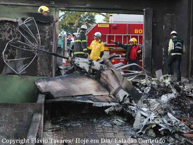
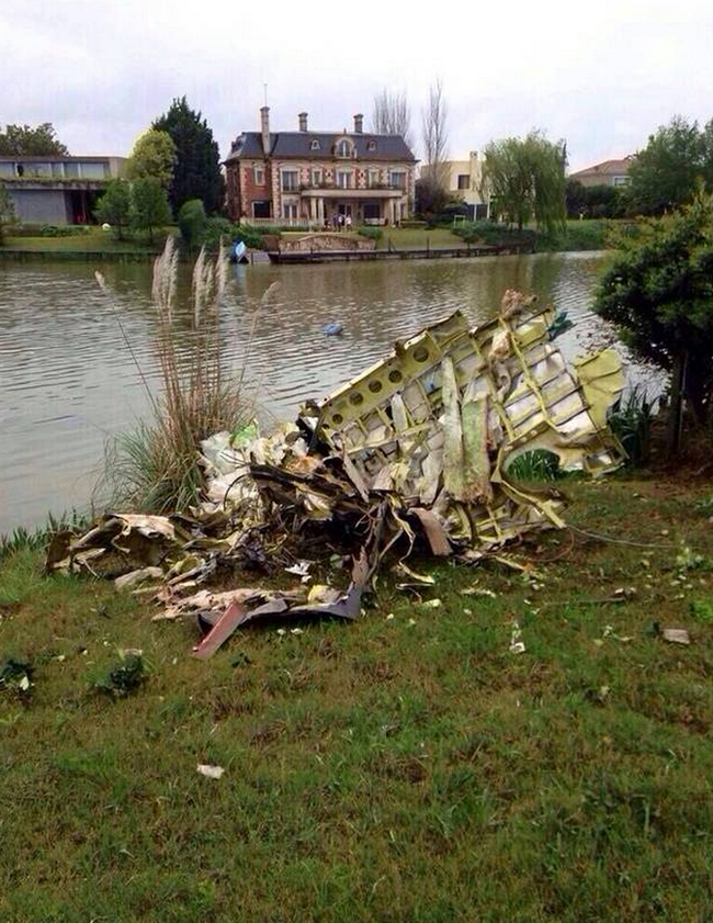
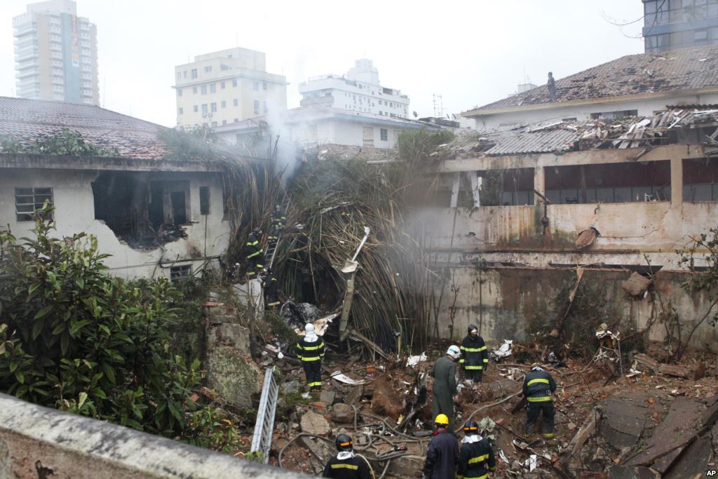
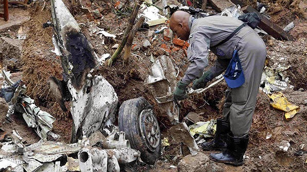
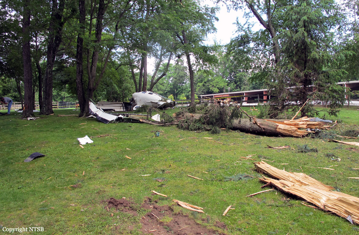
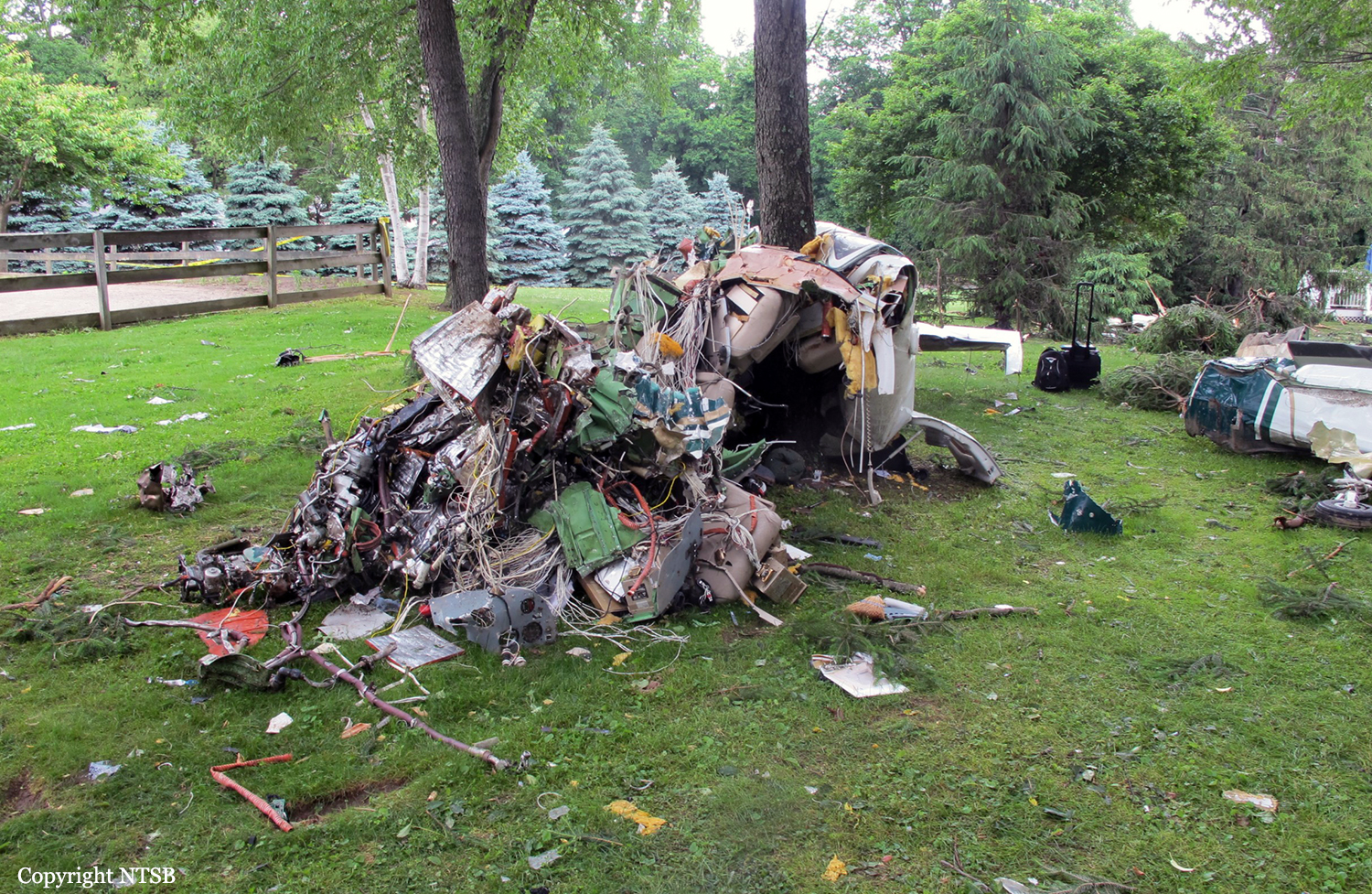
The twin engine airplane departed Belo Horizonte-Pampulha-Carlos Drummond de Andrade Airport on a flight to Setubinha-Fazenda Sequóia Airfield, carrying one employee of the company and two pilots. Prior to takeoff, the captain informed the copilot he wanted to perform an 'American' takeoff with full engine power followed by a steep climb. After liftoff, the crew raised the landing gear then continued over the runway at low height until the end of the terrain to reach a maximum speed, then initiated a steep climb at 90°. The aircraft reached the altitude of 1,700 feet in 15 seconds then stalled and entered an uncontrolled descent. It dove into the ground and crashed in a vertical attitude into a houses located in a residential area some 800 metres from the airport. The aircraft was destroyed by impact forces and a post crash fire and all three occupants were killed. One people on the ground was slightly injured.
Probable cause:
Loss of control after the crew initiated aerobatic maneuvers at low altitude.
Final Report:

Crash of a PZL-Mielec AN-2R in Sanamer

Date & Time: May 18, 2015 at 0912 LT
Type of aircraft:
Operator:
Registration:
RA-56528
Flight Phase:
Flight Type:
Survivors:
Yes
Site:
Schedule:
Kevsala – Gribnoye
MSN:
1G183-28
YOM:
1979
Country:
Region:
Crew on board:
1
Crew fatalities:
Pax on board:
0
Pax fatalities:
Other fatalities:
Total fatalities:
0
Captain / Total flying hours:
20000
Captain / Total hours on type:
17500.00
Circumstances:
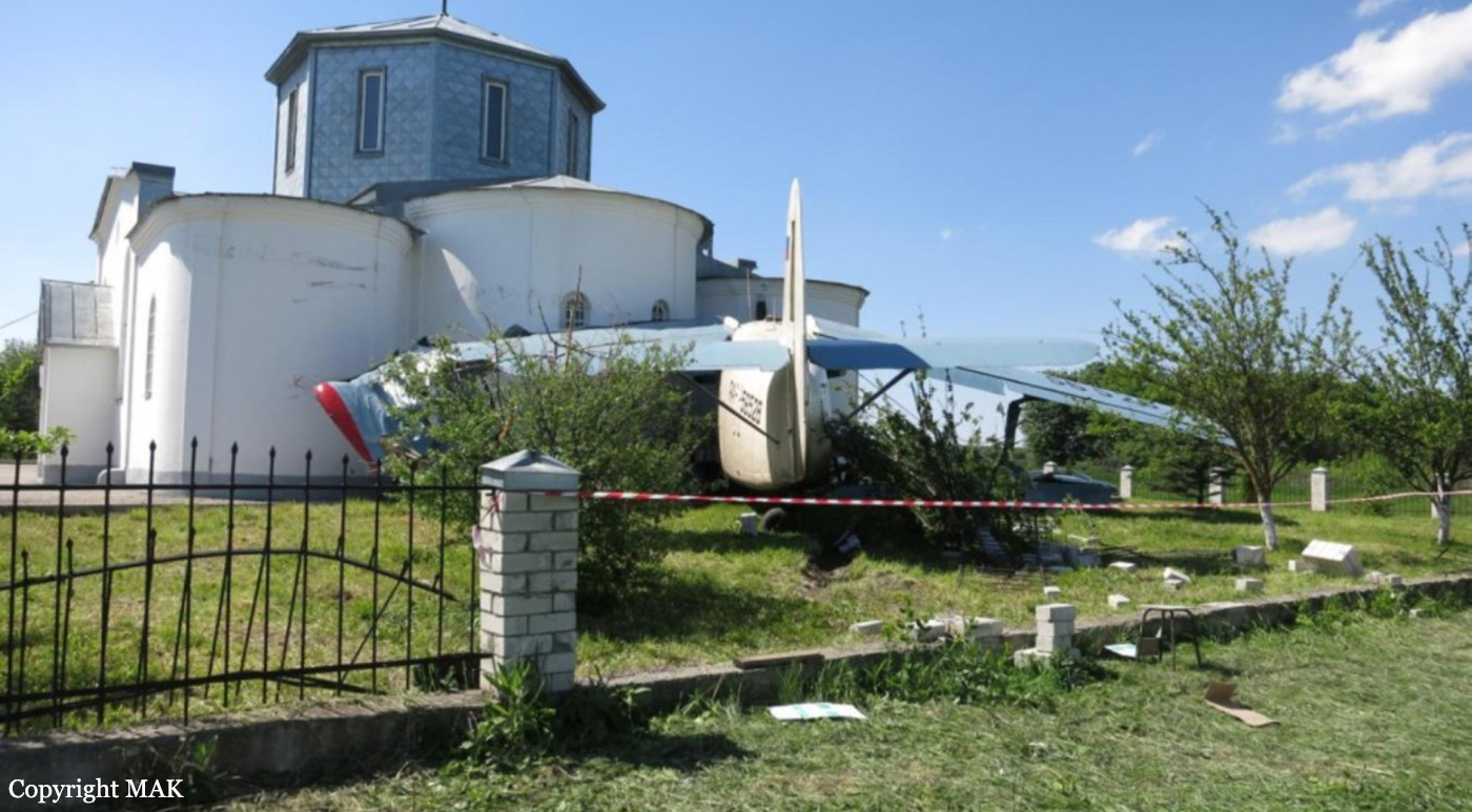
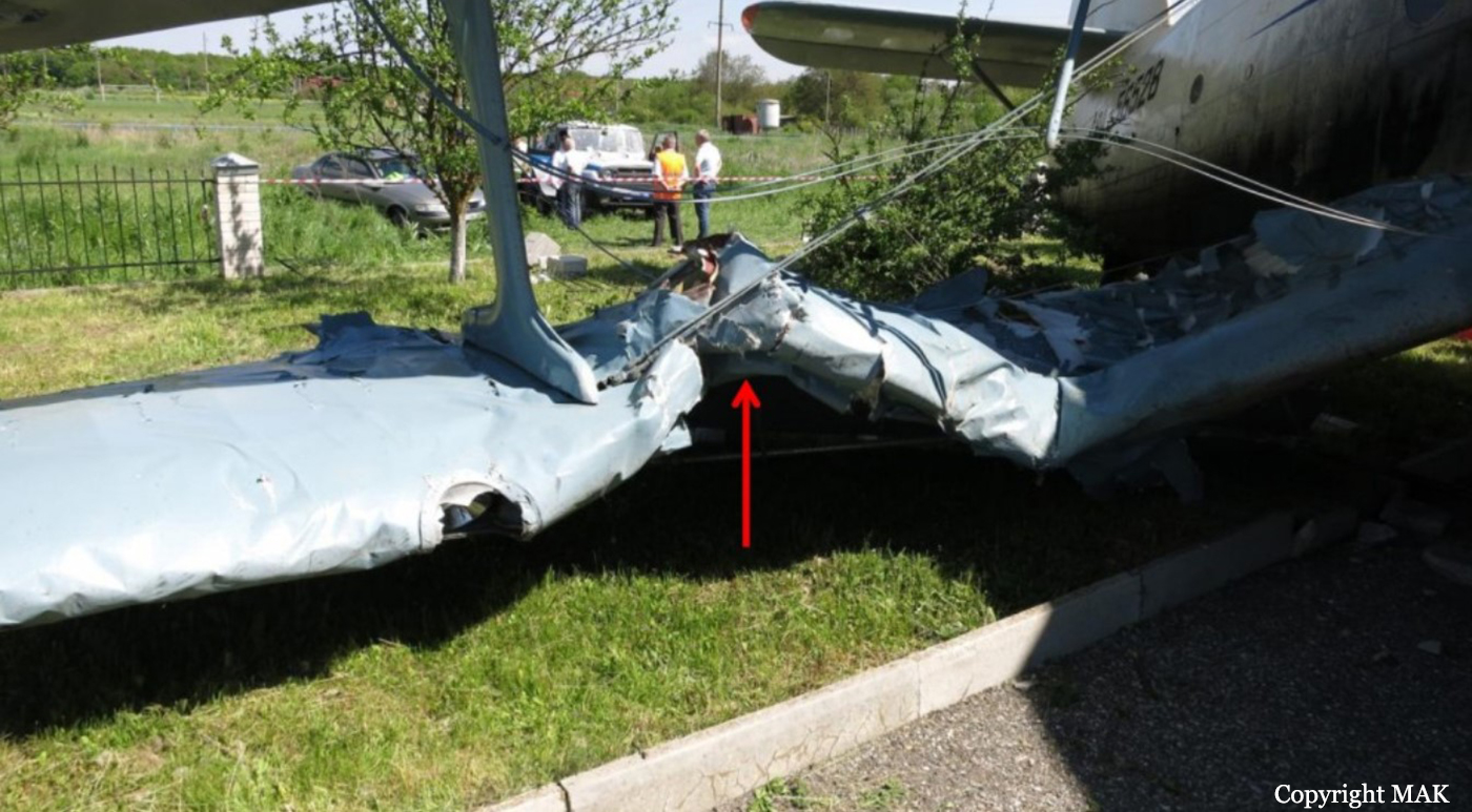
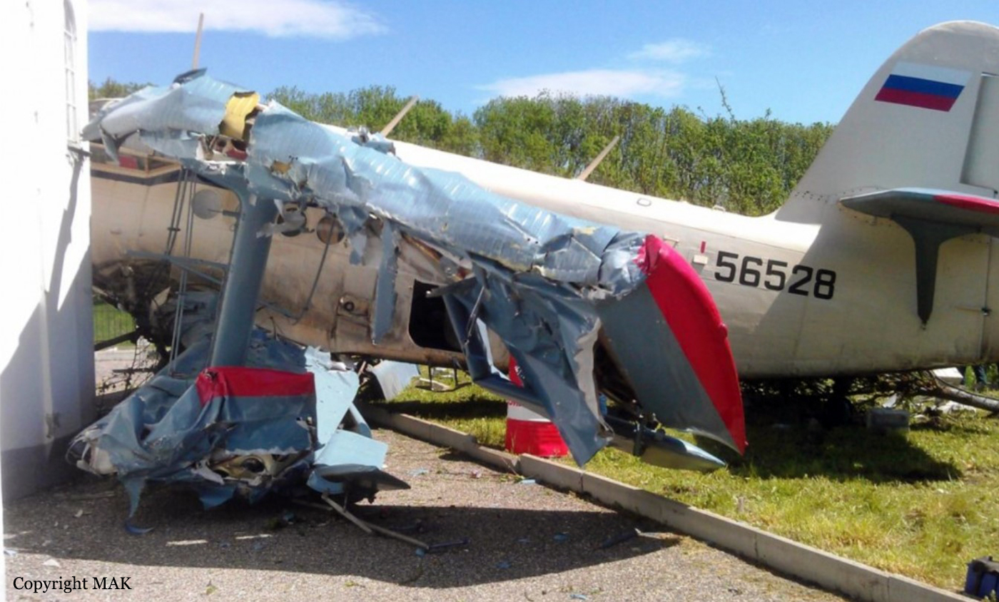
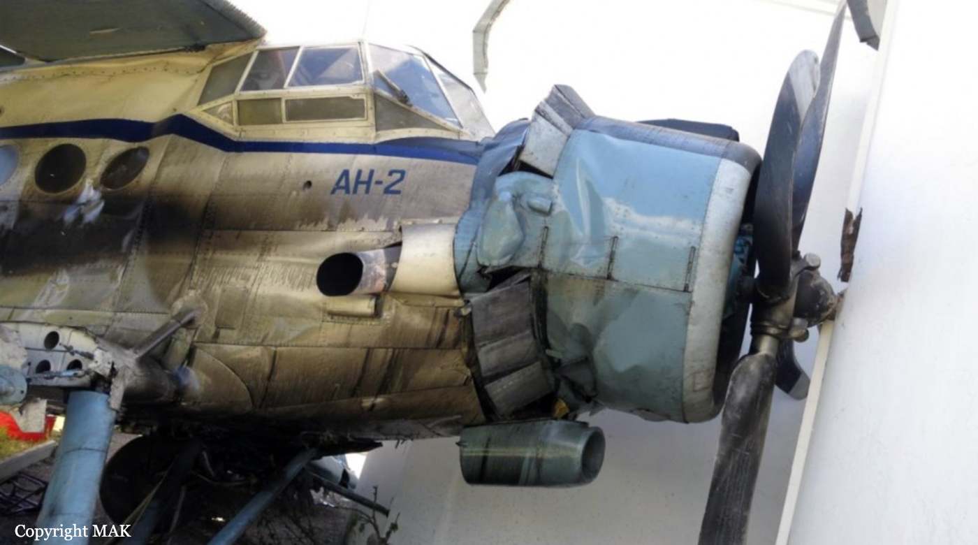
The single engine aircraft was completing a flight from Kevsala (Ipatovo district of the Stavropol region) to Gribnoye, in the Novopavlovsk district, carrying one pilot and four oil drums. En route, while approaching Sanamer at low altitude, the pilot encountered engine problems and attempted an emergency landing. After touchdown, the aircraft hit a fence, crushed some trees and came to rest against the wall of a church. The pilot was seriously injured and the aircraft was damaged beyond repair.
Probable cause:
The need of the emergency landing was due to the engine flameout in the air most probably caused by the oil tank swelling and pressing its wall on the fuel shutoff valve lever. Oil tank pressure and its swelling most probably caused carbon deposit in vent pipeline connecting oil tank with atmosphere.
The following factors most probably contributed to the accident:
- No water washing of the oil tank and vent pipeline of oil tank with atmosphere specified by scheduled maintenance after 400±30 flight hours or 12±1 month of operation;
- Aircraft maintenance by people not having the aircraft maintenance license;
- Flight operation over locality at the altitude insufficient to perform landing within its limits in case of aircraft nonoperation;
- Flight operation by PIC in moderate alcohol intoxication.
Final Report:

Crash of an Embraer EMB-500 Phenom 100 in Gaithersburg: 6 killed

Date & Time: Dec 8, 2014 at 1041 LT
Type of aircraft:
Operator:
Registration:
N100EQ
Flight Type:
Survivors:
No
Site:
Schedule:
Chapel Hill - Gaithersburg
MSN:
500-00082
YOM:
2009
Crew on board:
1
Crew fatalities:
Pax on board:
2
Pax fatalities:
Other fatalities:
Total fatalities:
6
Captain / Total flying hours:
4737
Captain / Total hours on type:
136.00
Aircraft flight hours:
634
Aircraft flight cycles:
552
Circumstances:
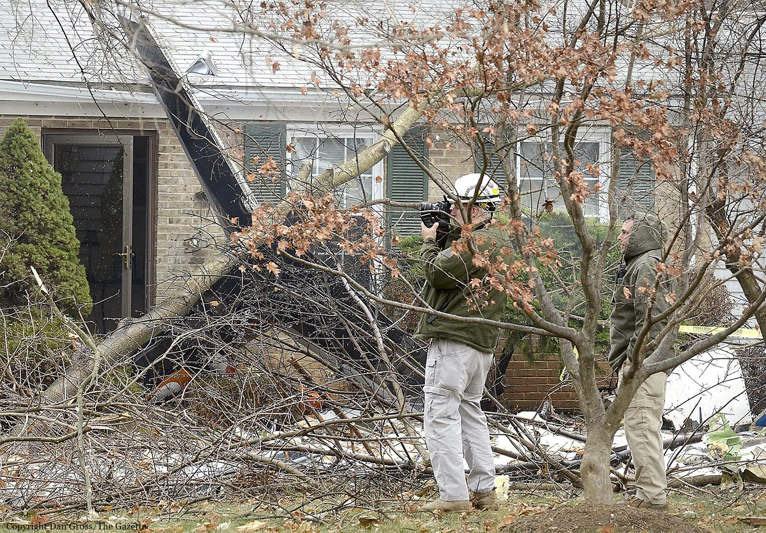
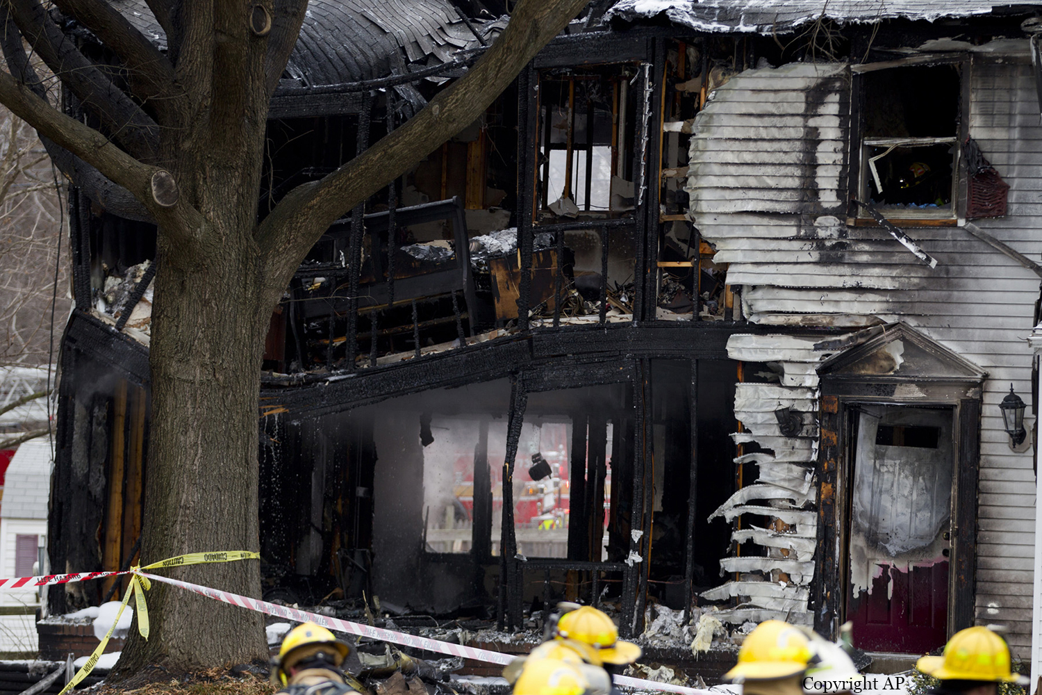
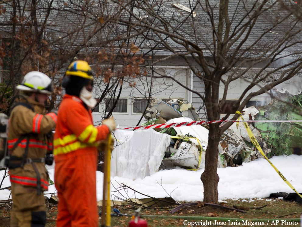
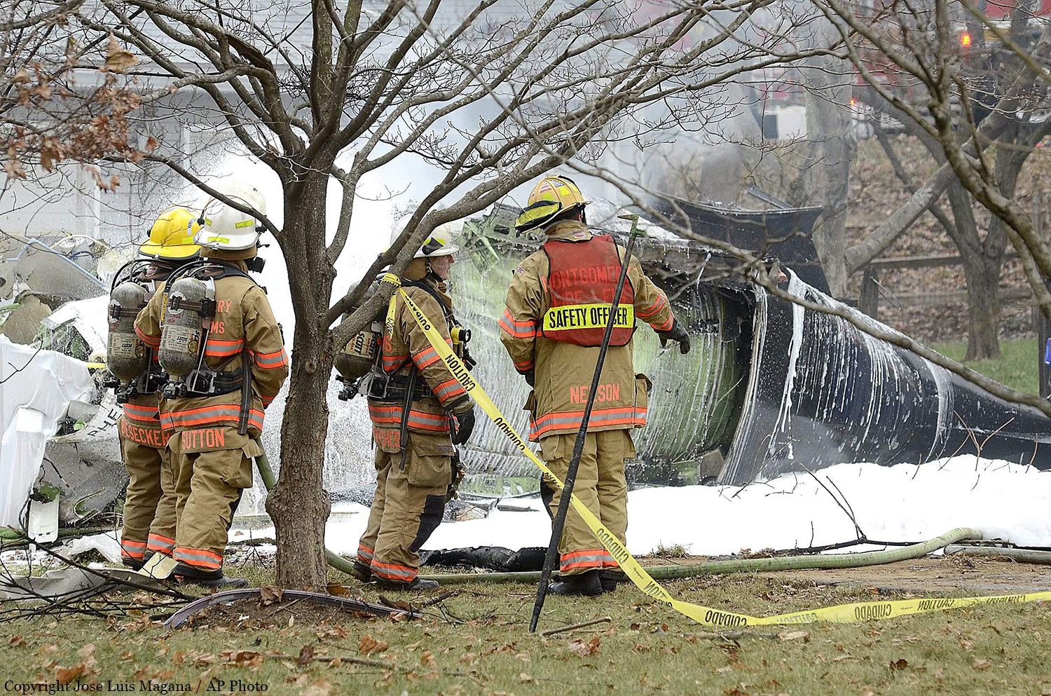
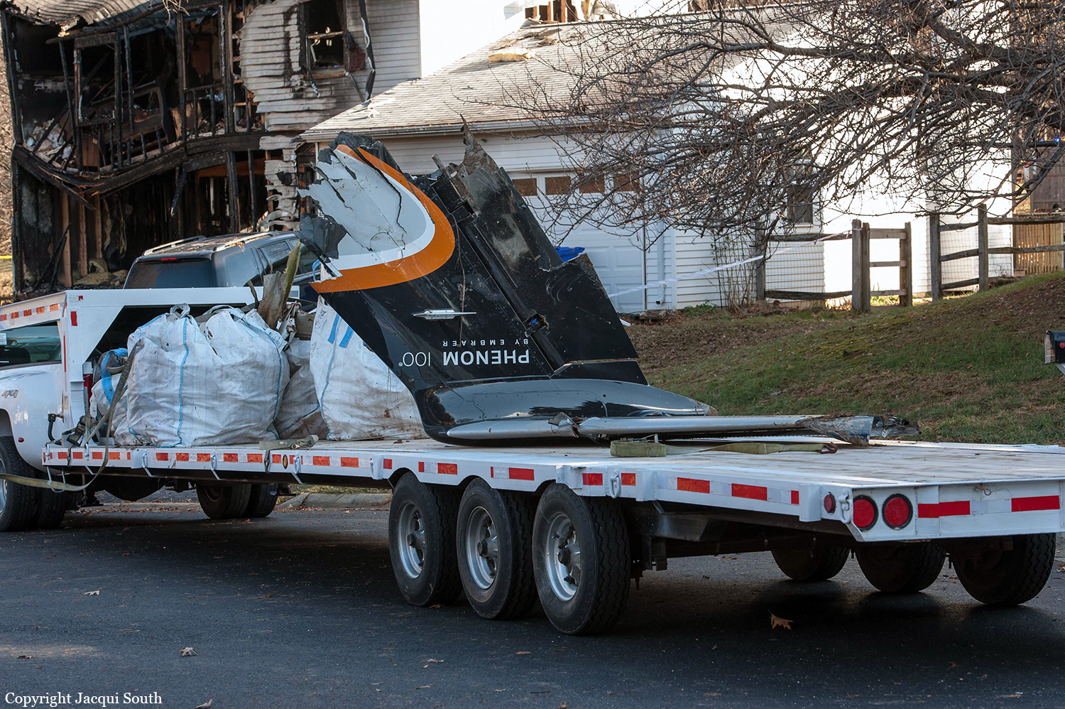
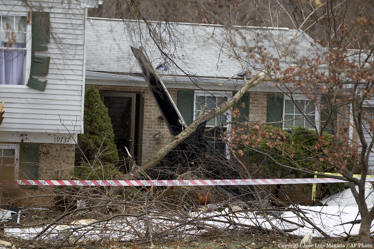
The airplane crashed while on approach to runway 14 at Montgomery County Airpark (GAI), Gaithersburg, Maryland. The airplane impacted three houses and the ground about 3/4 mile from the approach end of the runway. A postcrash fire involving the airplane and one of the three houses, which contained three occupants, ensued. The pilot, the two passengers, and the three people in the house died as a result of the accident. The airplane was destroyed by impact forces and postcrash fire. The flight was operating on an instrument flight rules flight plan under the provisions of 14 Code of Federal Regulations (CFR) Part 91. Visual meteorological conditions prevailed at the time of the accident. Data from the airplane’s cockpit voice and data recorder (CVDR) indicated that the takeoff about 0945 from Horace Williams Airport, Chapel Hill, North Carolina, and the cruise portion of the flight were uneventful. CVDR data showed that about 15 minutes after takeoff, the passenger in the right cockpit seat made a statement that the airplane was “in the clouds.” A few seconds later, the airplane’s engine anti-ice system and the wing and horizontal stabilizer deice system were manually activated for about 2 minutes before they were manually turned off. About 6 minutes later, a recording from the automated weather observing system (AWOS) at GAI began transmitting over the pilot’s audio channel, containing sufficient information to indicate that conditions were conducive to icing during the approach to GAI. The CVDR recorded no activity or faults during the rest of the flight for either ice protection system, indicating that the pilot did not turn the systems back on. Before the airplane descended through 10,000 ft, in keeping with procedures in the EMB-500 Pilot Operating Handbook, the pilot was expected to perform the Descent checklist items in the Quick Reference Handbook (QRH), which the pilot should have had available in the airplane during the flight. Based on the AWOS-reported weather conditions, the pilot should have performed the Descent checklist items that appeared in the Normal Icing Conditions checklist, which included turning on the engine anti-ice and wing and horizontal stabilizer deice systems. That action, in turn, would require the pilot to use landing distance performance data that take into account the deice system’s activation. CVDR data show that, before beginning the descent, the pilot set the landing reference (Vref) speed at 92 knots, indicating that he used performance data for operation with the wing and horizontal stabilizer deice system turned off and an airplane landing weight less than the airplane’s actual weight. Using the appropriate Normal Icing Conditions checklist and accurate airplane weight, the pilot should have flown the approach at 126 knots (a Vref of 121 knots +5 knots) to account for the icing conditions.
Probable cause:
The National Transportation Safety Board determines that the probable cause of this accident was the pilot’s conduct of an approach in structural icing conditions without turning on the airplane’s wing and horizontal stabilizer deice system, leading to ice accumulation on those surfaces, and without using the appropriate landing performance speeds for the weather conditions and airplane weight, as indicated in the airplane’s standard operating procedures, which together resulted in an aerodynamic stall at an altitude at which a recovery was not possible.
Final Report:

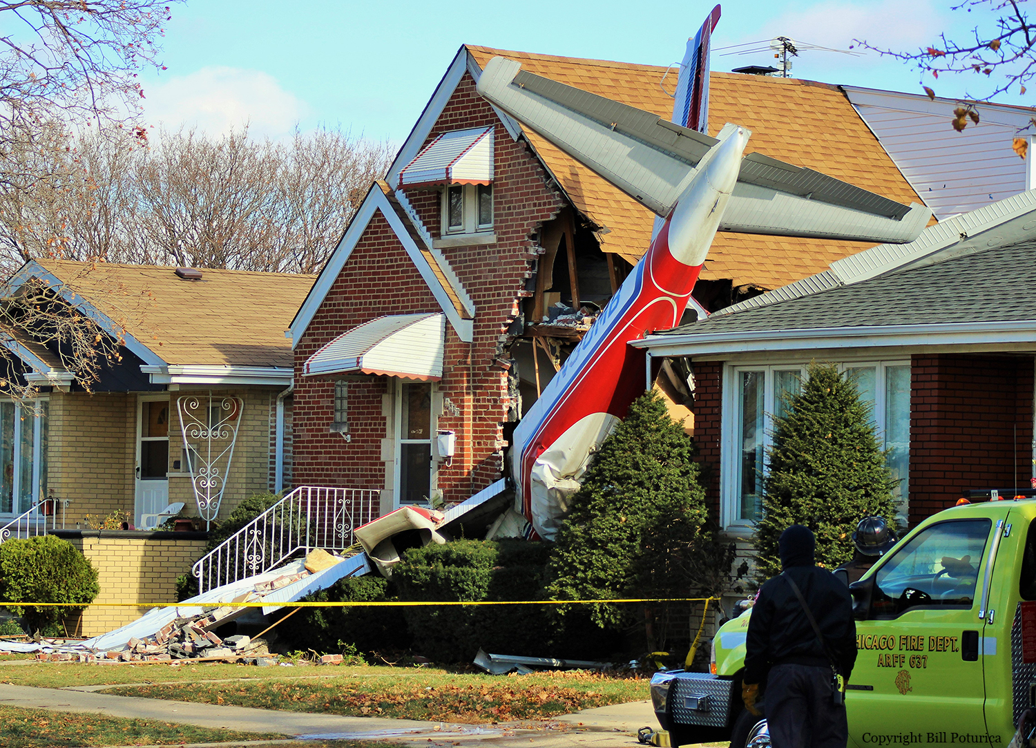
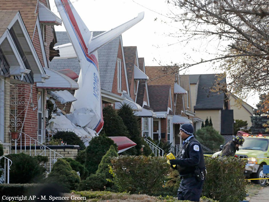
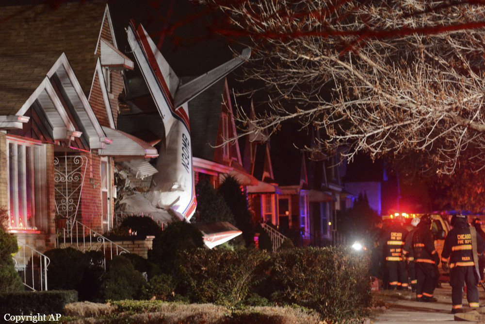
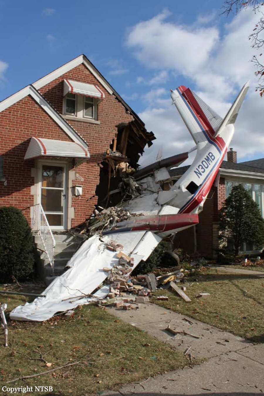
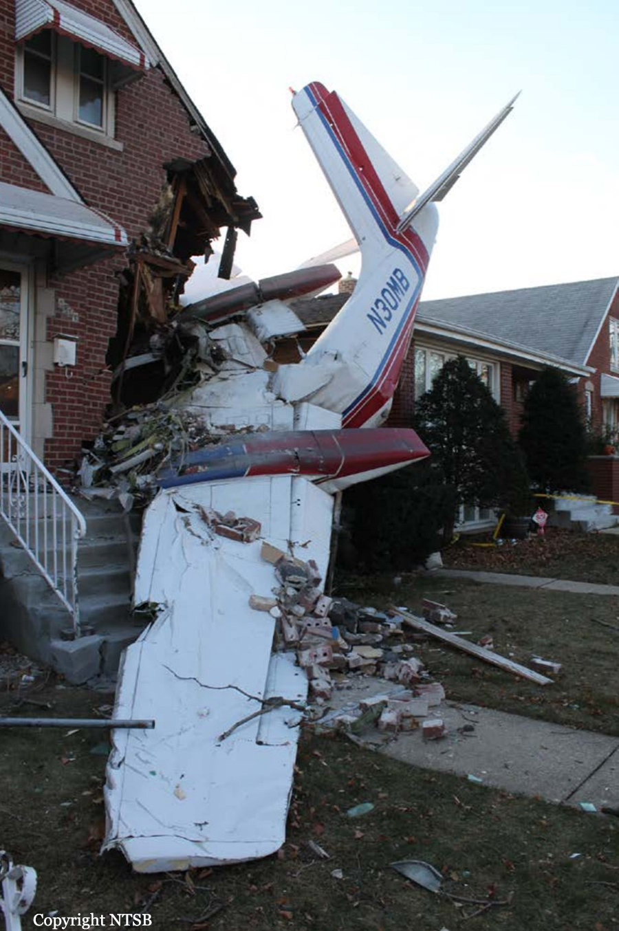
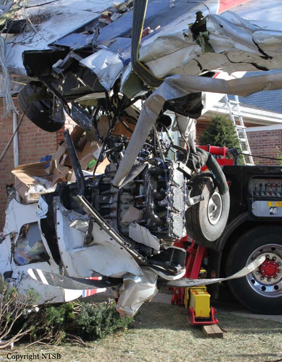
Crash of a Rockwell Aero Commander 500B in Chicago: 1 killed

Date & Time: Nov 18, 2014 at 0245 LT
Operator:
Registration:
N30MB
Flight Type:
Survivors:
No
Site:
Schedule:
Chicago - Columbus
MSN:
500-1453-160
YOM:
1964
Flight number:
CTL62
Crew on board:
1
Crew fatalities:
Pax on board:
0
Pax fatalities:
Other fatalities:
Total fatalities:
1
Captain / Total flying hours:
1339
Captain / Total hours on type:
34.00
Aircraft flight hours:
26280
Circumstances:
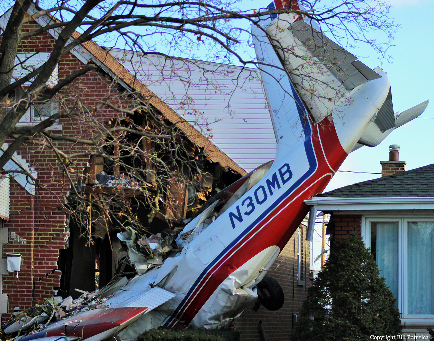
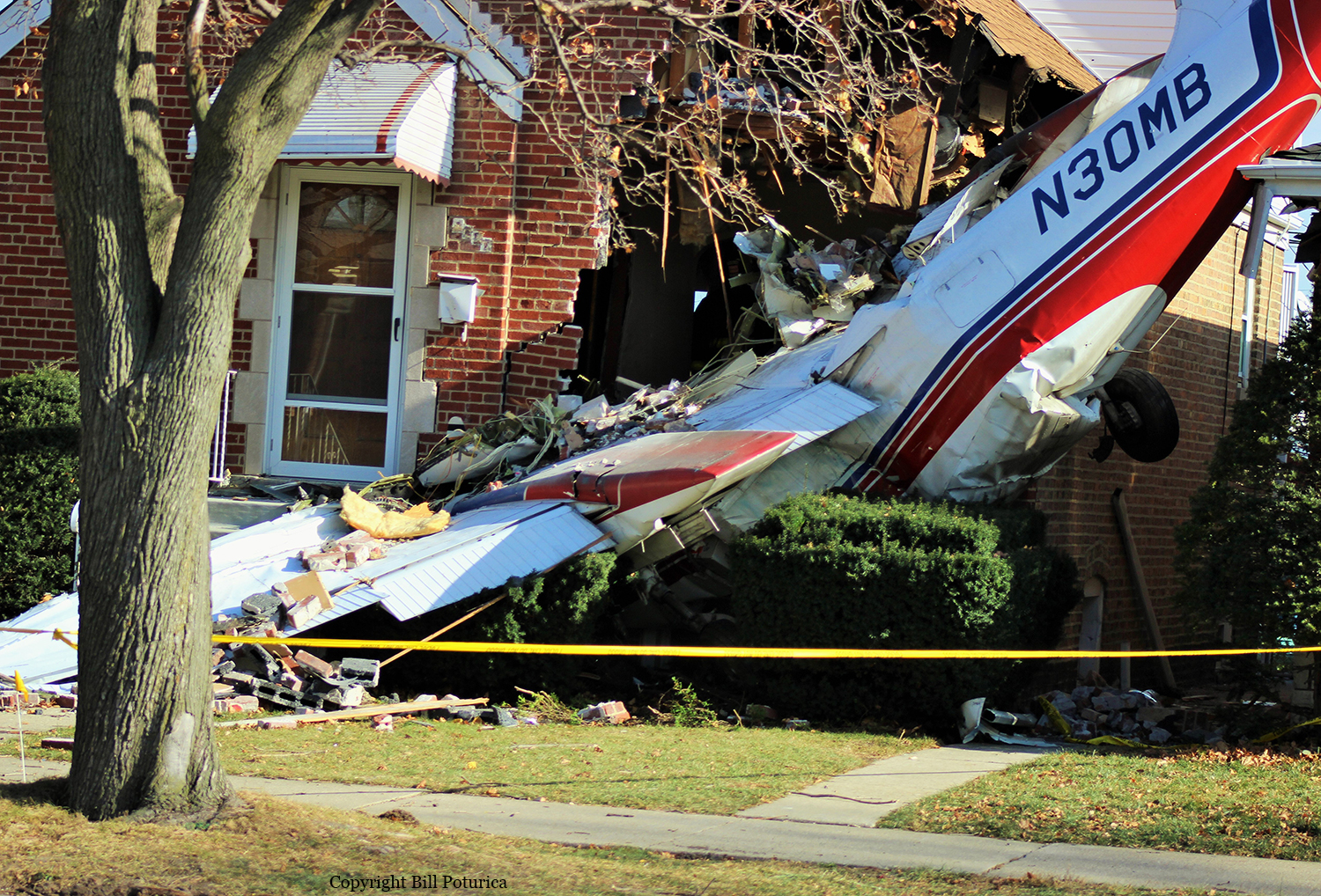
The commercial pilot was conducting an on-demand cargo charter flight. Shortly after takeoff, the pilot informed the tower controller that he wanted to "come back and land" because he was "having trouble with the left engine." The pilot chose to fly a left traffic pattern and return for landing. No further transmissions were received from the pilot. The accident site was located about 0.50 mile southeast of the runway's displaced threshold. GPS data revealed that, after takeoff, the airplane entered a left turn to a southeasterly course and reached a maximum GPS altitude of 959 ft (about 342 ft above ground level [agl]). The airplane then entered another left turn that appeared to continue until the final data point. The altitude associated with the final data point was 890 ft (about 273 ft agl). The final GPS data point was located about 135 ft northeast of the accident site. Based on GPS data and the prevailing surface winds, the airspeed was about 45 knots during the turn. According to the airplane flight manual, the stall speed in level flight with the wing flaps extended was 59 knots. Postaccident examination and testing of the airframe, engines, and related components did not reveal any preimpact mechanical failures or malfunctions that would have precluded normal operation; therefore, the nature of any issue related to the left engine could not be determined. Based on the evidence, the pilot failed to maintain adequate airspeed while turning the airplane back toward the airport, which resulted in an aerodynamic stall/spin.
Probable cause:
The pilot's failure to maintain airspeed while attempting to return to the airport after a reported engine problem, which resulted in an aerodynamic stall/spin.
Final Report:

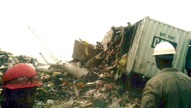
Crash of a Learjet 35A in Freeport: 9 killed

Date & Time: Nov 9, 2014 at 1652 LT
Type of aircraft:
Registration:
N17UF
Survivors:
No
Site:
Schedule:
Nassau - Freeport
MSN:
258
YOM:
1979
Country:
Crew on board:
2
Crew fatalities:
Pax on board:
7
Pax fatalities:
Other fatalities:
Total fatalities:
9
Captain / Total flying hours:
13800
Copilot / Total flying hours:
996
Aircraft flight hours:
12046
Aircraft flight cycles:
10534
Circumstances:
The aircraft crashed into a garbage and metal recycling plant after striking a towering crane in the Grand Bahama Shipyard, while attempting a second landing approach to runway 06 at Freeport International Airport (MYGF), Freeport, Grand Bahama, Bahamas. The aircraft made an initial ILS instrument approach to Runway 06 at the Freeport International Airport but due to poor visibility and rain at the decision height, the crew executed a go around procedure. The crew requested to hold at the published holding point at 2,000 feet while they waited for the weather to improve. Once cleared for the second ILS approach, the crew proceeded inbound from the holding location to intercept the localizer of the ILS system associated with the instrument approach. During the approach, the crew periodically reported their position to ATC, as the approach was not in a radar environment. The crew was given current weather conditions and advised that the conditions were again deteriorating. The crew continued their approach and descended visually while attempting to find the runway, until the aircraft struck the crane positioned at Dock #2 of the Shipyard at approximately 220 feet above sea level, some 3.2 nautical miles (nm) from the runway threshold. A fireball lasting approximately 3 seconds was observed as a result of the contact between the aircraft and the crane. The right outboard wing, right landing gear and right wingtip fuel tank, separated from the aircraft on impact. This resulted in the aircraft travelling out of control, some 1,578 feet (526 yards) before crashing inverted into a pile of garbage and other debris in the City Services Garbage and Metal Recycling Plant adjacent to the Grand Bahama Shipyard. Both crew and 7 passengers were fatally injured. No person on the ground was injured. The crane in the shipyard that was struck received minimal damages while the generator unit and other equipment in the recycling plant received extensive damages.
Probable cause:
The Air Accident Investigation & Prevention Unit (AAIPU) determines that the probable cause(s) of this accident were:
- The poor decision making of the crew in initiating and continuing a descent in IMC below the authorized altitude, without visual contact with the runway environment.
Contributing Factors includes:
- Improper planning of the approach,
- Failure of the crew to follow the approved ILS approach while in IMC conditions,
- Insufficient horizontal or vertical situational awareness,
- Poor decision making,
- Deliberate actions of the crew by disabling the terrain alert warning system,
- Inadequate CRM practice.
Final Report:

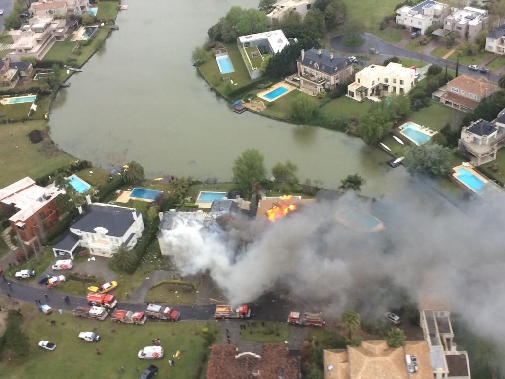
Crash of a Beechcraft 300LW Super King Air in Nordelta: 2 killed

Date & Time: Sep 14, 2014 at 1515 LT
Operator:
Registration:
LV-WLT
Flight Type:
Survivors:
No
Site:
Schedule:
Lincoln – Buenos Aires
MSN:
FA-221
YOM:
1992
Country:
Crew on board:
1
Crew fatalities:
Pax on board:
1
Pax fatalities:
Other fatalities:
Total fatalities:
2
Captain / Total flying hours:
14004
Captain / Total hours on type:
2000.00
Aircraft flight hours:
2630
Aircraft flight cycles:
2419
Circumstances:
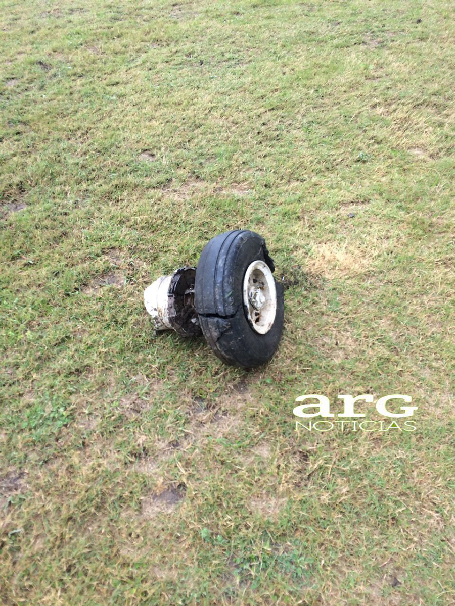
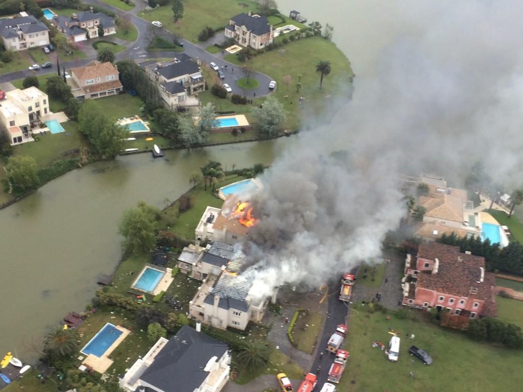
The twin engine aircraft departed Lincoln-Estancia La Nueva Airport on a private flight to Buenos Aires, carrying one passenger and one pilot. While descending to Buenos Aires-Aeroparque-Jorge Newbury Airport, the pilot was unable to intercept the ILS for runway 13 because of an excessive speed of 260 knots and a too high angle of descent. In such conditions, he could not configure the aircraft for approach and landing (flaps) in accordance with the information in the BE 300 flight manual. He completed a left turn at a speed of 228 knots and descended below the glide before initiating a second turn to the right when control was lost. The aircraft entered a dive and crashed onto two houses located in Nordelta, about 26 km northwest of the airport. The aircraft and two houses were destroyed and both occupants were killed, among them Gustavo Andres Deutsch aged 78 who was the former owner of the defunct airline LAPA.
Probable cause:
The accident resulted from the combination of immediate triggers and failures in the aeronautical system's defenses, including:
- Prevailing weather conditions at the scene of the accident;
- Pilot-in-command experienced difficulties in managing aircraft control and flight path during an instrument approach;
- The probability of overload of work of the pilot in command as a result of the operational demands presented by the situation;
- The execution of the operation by a single pilot (single pilot operation), taking into account the age of the pilot; and
- Deficiencies in pilot-in-command certification denying the value of CE-6 as a defense barrier for the aeronautical system (CE-6 is a Critical Element of ICAO Annex 19 regarding responsibilities in issuing licenses).
Final Report:

Crash of a Cessna 560XLS Citation Excel in Santos: 7 killed

Date & Time: Aug 13, 2014 at 1003 LT
Operator:
Registration:
PR-AFA
Survivors:
No
Site:
Schedule:
Rio de Janeiro – Santos
MSN:
560-6066
YOM:
2011
Country:
Crew on board:
2
Crew fatalities:
Pax on board:
5
Pax fatalities:
Other fatalities:
Total fatalities:
7
Captain / Total flying hours:
6235
Captain / Total hours on type:
130.00
Copilot / Total flying hours:
5279
Copilot / Total hours on type:
95
Aircraft flight hours:
434
Aircraft flight cycles:
392
Circumstances:
The aircraft took off from Santos Dumont Airport (SBRJ) at 12:21 UTC, on a transport flight bound for Santos Aerodrome (SBST), with two pilots and five passengers on board. During the enroute phase of the flight, the aircraft was under radar coverage of the approach control units of Rio de Janeiro and São Paulo (APP-RJ and APP-SP, respectively), and no abnormalities were observed. Upon being released by APP-SP for descent and approach toward SBST, the aircraft crew, already in radio contact with Santos Aerodrome Flight Information Service (Santos Radio), reported their intention to perform the IFR ECHO 1 RWY 35 NDB approach chart profile. After reporting final approach, the crew informed that they would make a go-around followed by a holding procedure, and call Santos Radio again. According to an observer that was on the ground awaiting the arrival of the aircraft at Santos Air Base (BAST) and to another observer at the Port of Santos, the aircraft was sighted flying over the aerodrome runway at low height, and then making a turn to the left after passing over the departure end of the runway, at which point the observers lost visual contact with the aircraft on account of the weather conditions. Moments later, the aircraft crashed into the ground. All seven occupants were killed.
Probable cause:
The following factors were identified:
- Considering the pronounced angle formed between the trajectory of the aircraft and the terrain, as well as the calculated speed (which by far exceeded the aircraft operating limit) moments before the impact, it is possible to infer that, from the moment the aircraft disappeared in the clouds, it could only have reached such speed and flown that trajectory if it had climbed considerably, to the point of being detected by the radar. Such condition presented by the aircraft may have been the result of an exaggerated application of controls.
- The making of an approach with a profile different from the one prescribed shows lack of adherence to procedures, which, in this case, may have been influenced by the self-confidence of the pilot on his piloting ability, given his prior experiences.
- Despite the lack of pressure on the part of the passengers to force compliance with the agenda, it is a known fact that this type of routine creates in the crew a self-pressure, most of the time unconscious, for accomplishing the flight schedule on account of the commitments undertaken by the candidate in campaign, and, therefore, the specific characteristics of this type of flight pose demands in terms of performance that may have influenced the pilots to operate with reduced safety margins.
- The meteorological conditions were close to the safety minimums for the approach and below the minimums for the circle-to-land procedure prescribed in the ECHO 1 approach. However, such conditions, by themselves, would not represent risk for the operation, if the profile of the ECHO 1 procedure was performed in accordance with the parameters established in the aeronautical publications and the flight parameters defined by the aircraft manufacturer. Upon verifying that the above mentioned parameters were not complied with, one observes that the meteorological conditions became a complicating factor for flying the aircraft, rendering it difficult to be stabilized on the final approach, and a go-around became necessary, as a result.
- In the scenario of the aircraft collision with the ground, there were aspects favorable to the occurrence of spatial disorientation, such as: reduction of the visibility on account of meteorological conditions, stress and workload increase due to the missed approach procedure, maneuvers with a G-load above 1.15G, and a possible loss of situational awareness. The large pitch-down angle, the high speed, and the power developed by the engines at the moment of impact are also evidence compatible with incapacitating disorientation, and point towards a contribution of this factor.
- The integration between the pilots may have been hindered by their little experience working together as one crew, and also by their different training background. In addition, the personal characteristics of the captain, as a more impositive and confident person, in contrast with the more passive posture of the copilot, may also have hampered the crew dynamics in the management of the flight.
- In the seven days preceding the day of the accident, the crew was in conformity with the Law 7183 of 5 April 1984 in relation to both duty time and rest periods. However, the analysis of copilot’s voice, speech, and language indicated compatibility with fatigue and somnolence, something that may have contributed to the degradation of the crew’s performance.
- Their lack of training of missed approach procedures in CE 560XLS+ aircraft may have demanded from the crew a higher cognitive effort in relation to the conditions required for the aircraft model, since they possibly did not have conditioned behaviors for controlling the flight and that could otherwise provide them with more agility with regard to the cockpit actions. Thus, they probably missed the skills, knowledge, and attitudes that would allow them to more adequately perform their activities in that operational context.
- Even though Santos Radio reported, in the first contact with the aircraft, that the aerodrome was operating IFR, the messages transmitted to the aircraft did not include the conditions of ceiling, visibility, and SIGMET information (ICA 100-37). This may have contributed to reducing the crew’s situational awareness, since the last information accessed by them was probably the 11:00 UTC SBST METAR, which reported VMC conditions for operation in the aerodrome. Thus, the pilots may have built a mental model of unreal SBST meteorological conditions more favorable to the operation.
- After coordination of the descent, the PR-AFA aircraft made a left turn and, for an unknown reason, deviated from the W6-airway profile, reporting six positions that were not compatible with the real flight path until the moment it started a final approach. This approach was different from the trajectory of the final approach defined for the ECHO 1 procedure, and was flown with speed parameters different from those recommended by the aircraft manufacturer. These aspects reduced the chances of the aircraft to align with the final approach in a stabilized manner. The fact that the aircraft made a low pass over the runway and then a left turn at low altitude in weather conditions below the minimum established in the circle-to-land procedure instead of performing the profile prescribed in the ECHO 1 approach chart also resulted in risks to the operation, and created conditions which were conducive to spatial disorientation.
- Since the captain had already conducted FMS visual approaches on other occasions, his acquired work-memory may have strengthened his confidence in performing the procedure again, even though in another scenario, on account of the human being tendency to rely on previous successful experiences.
- A poor perception on the part of the pilots relative to the real meteorological conditions on the approach may have compromised their level of situational awareness, thus leading the aircraft to a condition of operation below the safe minimums.
- The TAF/GAMET weather prognostics with validity up to 12:00 UTC, and available to the crew at the time the flight plan was filed at the AIS-RJ, indicated a possibility of degradation of the ceiling and visibility parameters on account of rain associated with mist, encompassing the duration of the aforementioned flight, especially in the area of SBST. The 11:00 UTC satellite image and the SIGMET valid from 10:30 UTC to 13:30 UTC, also showed an active cold front in the Southeast with stratiform cloud layers over SBST and a forecast of convective cells with northeasterly movement at an average speed of 12kt. Despite the availability of such information, the crew may not have made a more accurate analysis showing the swift deterioration of the weather conditions in the period between their takeoff from SBRJ and the approach to SBST, and thus may have failed to plan their conduct of the flight in accordance with the weather conditions forecast by the meteorological services.
- Despite having the C560 qualification required to operate the CE 560XLS+aircraft, the pilots were not checked by the employers as to their previous experience on this kind of equipment, or as to the need of transition training and/or specific formation to fly the PRAFA aircraft. The adoption of a formal process for the recruitment, selection, monitoring and evaluation of the performance of the professionals could have identified their training needs for that type of aircraft.
- Although the RBAC 61 requires pilots to undergo flight instruction and proficiency checks to switch between models of the CE 560XL family, the need of specific training was only clarified on 4 July 2014, with the publication of the ANAC Supplementary Instruction (IS 61-004, Revision A). Until that date, this need could only be determined by means of consultation of the FSB Report, made available only on the FAA website. In this context, the PR-AFA pilots would only be evaluated on the CE 560XLS+ aircraft on the occasion of their type revalidation, which would take place shortly before the expiration date of their C560 qualifications, which were valid until October 2014 (captain), and May 2015 (copilot). The fact that there was a qualification (C560) that was shared for the operation of C560 Citation V, C560 Encore, C560 Encore+, CE 560XL, CE 560XLS, or CE 560XLS + aircraft was not enough to make the DCERTA system refuse flight plans filed by pilots who lacked proper training to operate one of the aforementioned aircraft models. The RBAC 67 contained physical and mental health requirements which were not clear, inducing physicians to resort to other publications for guidance and support of their decisions and judgments relative to the civil aviation personnel. The absence of clear requirements to be adopted as the acceptable minimum for the exercise of the air activity, led the physicians responsible for judging the pilots’ health inspections’ to use their own discretion on the subject, opening gaps that could allow professionals not fully qualified to perform functions in flight below the minimum acceptable safety levels.
- Considering the possibility that the captain accumulated tasks as a result of a possible difficulty of the copilot in assisting him at the beginning of the missed approach procedure, such accumulation may have exceeded his ability to deal with the tasks, leading him to committing piloting errors and/or experiencing spatial disorientation.

Final Report:

Crash of an ATR72-500 in Magong: 48 killed

Date & Time: Jul 23, 2014 at 1906 LT
Type of aircraft:
Operator:
Registration:
B-22810
Survivors:
Yes
Site:
Schedule:
Kaohsiung – Magong
MSN:
642
YOM:
2000
Flight number:
GE222
Country:
Region:
Crew on board:
4
Crew fatalities:
Pax on board:
54
Pax fatalities:
Other fatalities:
Total fatalities:
48
Captain / Total flying hours:
22994
Captain / Total hours on type:
19069.00
Copilot / Total flying hours:
2392
Copilot / Total hours on type:
2083
Aircraft flight hours:
27039
Aircraft flight cycles:
40387
Circumstances:
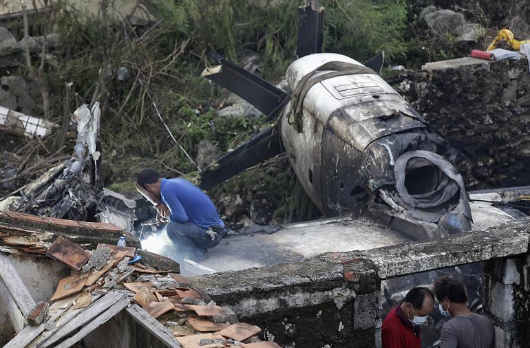
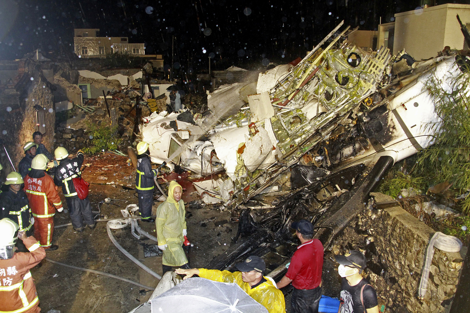
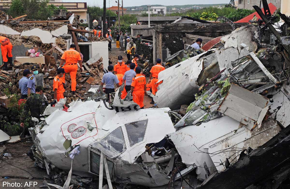
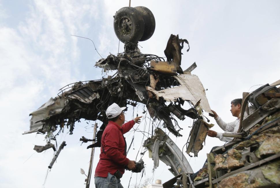
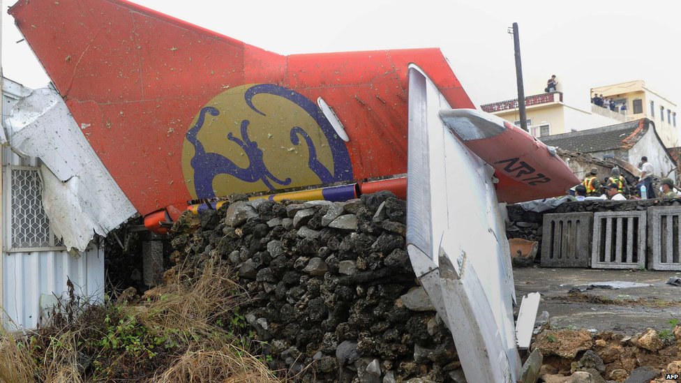
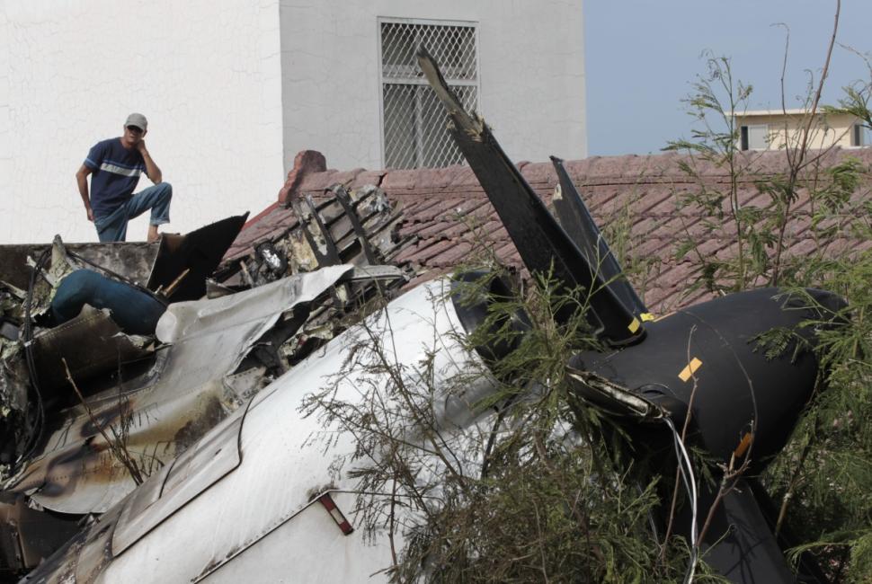
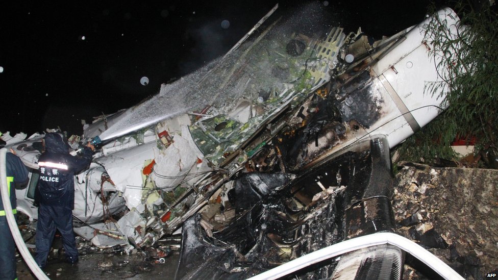
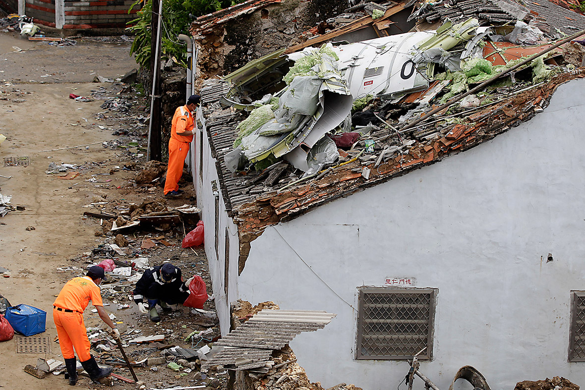
The aircraft was being operated on an instrument flight rules (IFR) regular public transport service from Kaohsiung to Magong in the Penghu archipelago. At 1906 Taipei Local Time, the aircraft impacted terrain approximately 850 meters northeast of the threshold of runway 20 at Magong Airport and then collided with a residential area on the outskirts of Xixi village approximately 200 meters to the southeast of the initial impact zone. At the time of the occurrence, the crew was conducting a very high frequency omni-directional radio range (VOR) non-precision approach to runway 20. The aircraft was destroyed by impact forces and a post-impact fire. Ten passengers survived the occurrence and five residents on the ground sustained minor injuries. The occurrence was the result of controlled flight into terrain, that is, an airworthy aircraft under the control of the flight crew was flown unintentionally into terrain with limited awareness by the crew of the aircraft’s proximity to terrain. The crew continued the approach below the minimum descent altitude (MDA) when they were not visual with the runway environment contrary to standard operating procedures. The investigation report identified a range of contributing and other safety factors relating to the flight crew of the aircraft, TransAsia’s flight operations and safety management processes, the communication of weather information to the flight crew, coordination issues at civil/military joint-use airport, and the regulatory oversight of TransAsia by the Civil Aeronautics Administration (CAA).
Probable cause:
- The flight crew did not comply with the published runway 20 VOR non-precision instrument approach procedures at Magong Airport with respect to the minimum descent altitude (MDA). The captain, as the pilot flying, intentionally descended the aircraft below the published MDA of 330 feet in the instrument meteorological conditions (IMC) without obtaining the required visual references.
- The aircraft maintained an altitude between 168 and 192 feet before and just after overflying the missed approach point (MAPt). Both pilots spent about 13 seconds attempting to visually locate the runway environment, rather than commencing a missed approach at or prior to the MAPt as required by the published procedures.
- As the aircraft descended below the minimum descent altitude (MDA), it diverted to the left of the inbound instrument approach track and its rate of descent increased as a result of the flying pilot’s control inputs and meteorological conditions. The aircraft’s hazardous flight path was not detected and corrected by the crew in due time to avoid the collision with the terrain, suggesting that the crew lost situational awareness about the aircraft’s position during the latter stages of the approach.
- During the final approach, the heavy rain and associated thunderstorm activity intensified producing a maximum rainfall of 1.8 mm per minute. The runway visual range (RVR) subsequently reduced to approximately 500 meters. The degraded visibility significantly reduced the likelihood that the flight crew could have acquired the visual references to the runway environment during the approach.
- Flight crew coordination, communication, and threat and error management were less than effective. That compromised the safety of the flight. The first officer did not comment about or challenge the fact that the captain had intentionally descended the aircraft below the published minimum descent altitude (MDA). Rather, the first officer collaborated with the captain’s intentional descent below the MDA. In addition, the first officer did not detect the aircraft had deviated from the published inbound instrument approach track or identify that those factors increased the risk of a controlled flight into terrain (CFIT) event.
- None of the flight crew recognized the need for a missed approach until the aircraft reached the point (72 feet, 0.5 nautical mile beyond the missed approach point) where collision with the terrain became unavoidable.
- The aircraft was under the control of the flight crew when it collided with foliage 850 meters northeast of the runway 20 threshold, two seconds after the go around decision had been made. The aircraft sustained significant damage and subsequently collided with buildings in a residential area. Due to the high impact forces and post-impact fire, the crew and most passengers perished.
- According to the flight recorders data, non-compliance with standard operating procedures (SOP's) was a repeated practice during the occurrence flight. The crew’s recurring non-compliance with SOP's constituted an operating culture in which high risk practices were routine and considered normal.
- The non-compliance with standard operating procedures (SOP's) breached the obstacle clearances of the published procedure, bypassed the safety criteria and risk controls considered in the design of the published procedures, and increased the risk of a controlled flight into terrain (CFIT) event.
Final Report:

Crash of a Fokker 50 in Nairobi: 4 killed

Date & Time: Jul 2, 2014 at 0417 LT
Type of aircraft:
Operator:
Registration:
5Y-CET
Flight Phase:
Flight Type:
Survivors:
No
Site:
Schedule:
Nairobi - Mogadishu
MSN:
20262
YOM:
26
Country:
Region:
Crew on board:
2
Crew fatalities:
Pax on board:
2
Pax fatalities:
Other fatalities:
Total fatalities:
4
Captain / Total flying hours:
14531
Captain / Total hours on type:
6821.00
Copilot / Total flying hours:
823
Copilot / Total hours on type:
513
Aircraft flight hours:
27342
Aircraft flight cycles:
26358
Circumstances:
On 2 July 2014, about 01.14 UTC, 5Y-CET, a Fokker F50, an international cargo flight, operated by Skyward International, crashed shortly after takeoff from Jomo Kenyatta International Airport (JKIA), Nairobi, Kenya (JKIA). Instrument Meteorological Conditions prevailed at the time and the airplane was on an instrument flight plan. The four crewmembers were fatally injured. The airplane was destroyed and consumed by post-crash fire. The destination of the flight was Aden Adee International Airport, Mogadishu, Somalia. The airplane was repositioned from its home base at Wilson Airport in Nairobi, the day before. The accident captain (CAPT) and another first officer conducted the repositioning flight. (see Aircraft Information). At JKIA, the airplane was loaded with cargo in preparation for the accident flight. The accident crew consisted of the Capt and FO in addition to a maintenance engineer and loadmaster. According to air traffic control (ATC), the flight plan was filed for duration of 2.5 hours at an altitude of 19,000 feet along with 5 hours of fuel aboard. Based on flight recorder data, the Capt was the pilot-flying and the FO was the pilot-monitoring. The accident flight was reconstructed using data from air traffic control and flight recorder information. According to FDR data, engine start occurred at at 01.50.20. At about 01.10.59 the flight made initial contact with JKIA air traffic control tower and after routine communication, including the confirmation of the number of person and fuel endurance, the flight was cleared for takeoff at 0112.30. At 01.11.58, both engines accelerated to a high power setting with engine no. 1 stabilizing at 78% torque, 100% propeller speed and engine 2 stabilizing at 80% torque, 99% propeller speed. About six seconds later, the Capt indicates “power is set”. About 2 seconds afterwards the Capt indicated “the auto-feather is off, left” and then 5 seconds later, the FO calls out “seven eighty” (?). About 16 seconds after initial engine acceleration was applied, the first of a series of three chimes audio alerts occurred, and continued at 1 second interval throughout the CVR recording. Immediately after the initial chimes, the Capt said “you see” and “how much is that?”. The FO responded “okay niner”. The Capt then asked “it has gotten to?” The FO replied “thirty four thirty ninety two” and shortly afterward “the left one is thirty”. About 24 seconds after initial engine acceleration, engine 1 torque climbs over a period of 2 seconds to a recorded value of 119.9%, the maximum value the recorder is capable of recording. Simultaneously Engine 1 propeller speed falls from 100% to 57%. Other engine shaft speeds remain at approximately their original high power values. Airspeed at the point this change occurs was less than 30 knots. During this period, the FO called out “one twenty two now [pause] torque”. The Capt responded “it is rising eh? The FO then noted “torque one twenty six now”. About 31 seconds after initial engine acceleration, the FO called out “okay speed alive sixty”. About a second later the Capt asked “do we reduce or”? The FO responded “we can just cut”. The Capt inquired “do we abort or continue?” The FO responded, “okay one one twelve and nine four point three” and then “okay one sixteen [pause] ninety four.” The Capt acknowledged “yeah okay” About 47 seconds after initial engine acceleration, the Capt said twice “did I reduce it?”and the FO responded sequentially “yeah” and “okay”] About 52 seconds after initial engine acceleration, the Capt asked “how is it now?” and the FO replied “yeah one oh two [pause] ninety four”. About 7 seconds later the FO called out “okay, one sixteen ninety four”. About 1 minute after initial engine acceleration, the Capt inquired “Is it really going?” The FO replied “one oh one, ninety five”. The Capt acknowledged and shortly afterward he queried “is it going really, is the aircraft really moving”. The FO responded “okay, one oh one, ninety five”. About 4 seconds later, the Capt indicated “it is not giving power” About 1 minute 9 seconds after the initial engine acceleration the FO called out “okay speed has now reached about hundred”. The Capt responded “oh yeah” and immediately afterward the FO called out “okay one eleven, ninety five”. About 1 minute 18 seconds after the initial engine acceleration, the FO indicated “hundred now”. The Capt acknowledged. About 1 minute 26 seconds after the initial engine acceleration, the FO called out “V one V R rotate” About 1 minute 33 seconds after the initial engine acceleration a transition of the airplane from ground to air mode is recorded and the pressure altitude begins to climb along with the Capt immediately afterward expressing two exclamations. Following the transition to air mode there were 51 seconds of flight recorder data before the recording ended. During this time and over a period of about 3 seconds, the FO calls out “positive rate of climb” and the Capt responded “gear up”. About 3 second later, the Capt expressed “it doesn’t have power [pause] it’s on one side.” About 6 seconds afterward, the FO said “we can also turn back”. About 3 seconds later the first of seven “don’t sink” (GPWS aural warning alerts) begins over a period of 23 seconds. After the second GPWS alert the Capt queried “ok, we’re ok?” After the third GPWS alert, the FO said “we can turn back” and the Capt immediately responded “let’s just go”. The FO replied “okay”. After the fifth GPWS alert, the Capt indicated “and this one is showing one fourteen” and then queried? “we can turn back?”. About 2 seconds later, the FO called out “okay speed is one hundred” and the Capt responded “but this one has nothing” About 1 second later and about the time of the sixth GPW alert, JKIA control tower radioed “five yankee charlie echo tango contact radar one two three decimal three. Good morning.” After the seventh GPWS alert the recording ended about 13 seconds later. During this time, the controller called the aircraft again. The Capt expressed “tell him [pause] tell him we have no power”. The last CVR data indicates the FO radioed, “ah tower charlie echo” and the transmission abruptly ended along with simultaneous sounds of distress. According to FDR data, about 15 seconds after the airplane transitioned from ground to air mode the recorded altitude peaked about 5060 feet and accompanied by a maximum airspeed of 100 knots. Along with a variation of airspeed between 90 knots and 100 knots for the remainder of the recording, during the following 20 seconds the altitude decreased to about 5000 feet and then increased to 5050 feet over the next 10 seconds where it remained until the recording ended at 1.14.27. Witness Accounts (Air Traffic Controller Civilians). The aircraft crashed during the hours of darkness at geographical coordinates of 01° 17’16”S, 36° 57’5”E.
Probable cause:
The probable cause of the accident was the decision by the crew to conduct the flight with a known mechanical problem and their failure to abort or reject the takeoff after receiving twenty seven cautions.
The following findings were identified:
- A three chime alert occurred during the positioning flight from HKNW to HKJK,
- Crew continued with the flight with a known fault,
- No evidence that remedial maintenance action was taken after landing from that flight prior to the event flight,
- No evidence of the anomaly being captured in the aircraft technical log,
- At least one of the occupants during the event flight, possibly the PIC, had been present during the positioning flight and thus was aware of the three chime alert that had occurred then,
- Twenty seven sound of three chime alert event occurred during the take off roll on the accident flight,
- The aforementioned alert occurred well before V1,
- The left engine exhibited high torque values (in excess of 120%) while the left propeller speed was reduced to the range between 45% to 55% rpm for most of the flight,
- Crew continued with take of roll and subsequent rotation despite the twenty seven chime alert,
- When airborne, crew contemplated turning back but eventually elected to continue with the flight,
- Cargo weight exceeded what was indicated in the load sheet 36,
- There was no evidence of any maintenance having been conducted on the aircraft since its Certificate of Airworthiness issue two months previously (9th May 2014).
Final Report:

Crash of a Piper PA-46-500TP Malibu Meridian in White Plains: 1 killed

Date & Time: Jun 13, 2014 at 0808 LT
Registration:
N5335R
Flight Phase:
Flight Type:
Survivors:
No
Site:
Schedule:
White Plains - Portland
MSN:
46-97100
YOM:
2001
Crew on board:
1
Crew fatalities:
Pax on board:
0
Pax fatalities:
Other fatalities:
Total fatalities:
1
Captain / Total flying hours:
5100
Captain / Total hours on type:
134.00
Aircraft flight hours:
1931
Circumstances:
The pilot arrived at the fixed-base operator on the morning of the accident and requested that his airplane be brought outside and prepared for an immediate departure; this occurred 1 hour 15 minutes before his scheduled departure time. Radar data showed that the airplane departed 23 minutes later. According to air traffic control data, shortly thereafter, the ground and departure controllers contacted the tower controller and asked if the airplane had departed yet; the tower controller responded, "I have no idea. We have zero visibility." Weather conditions about the time of the accident included a 200-ft overcast ceiling with about 1/4-mile visibility. Only five radar targets identified as the accident airplane were captured, and all of the targets were located over airport property. The first three radar targets began about midpoint of the 6,500-ft-long runway, and each of these targets was at an altitude of about 60 ft above ground level (agl). The final two targets showed the airplane in a shallow right turn, consistent with the published departure procedure track, at altitudes of 161 and 261 ft agl, respectively. The final radar target was about 1/2 mile from the accident site. Witnesses reported observing the airplane impact trees in a wings-level, slightly right-wing-down attitude at high speed. Examination of the wreckage revealed no preimpact mechanical malfunctions or anomalies of the airplane. The pilot's personal assistant reported that the pilot had an important meeting that required his attendance on the day of the accident flight. His early arrival to the airport and his request to have the airplane prepared for an immediate departure were actions consistent with self-induced pressure to complete the flight. Due to the poor weather conditions, which were expected to continue or worsen, he likely felt pressure to expedite his departure to ensure he was able to make it to his destination and to attend the meeting. This pressure may have further affected his ability to discern the risk associated with departing in low-visibility and low-ceiling conditions. As noted, the weather conditions were so poor that the local air traffic controller stated that he could not tell whether the airplane had departed. Such weather conditions are highly conducive to the development of spatial disorientation. Further, the altitude profile depicted by the radar data and the airplane's near wings-level attitude and high speed at impact were consistent with the pilot experiencing a form of spatial disorientation known as "somatogravic illusion," in which the pilot errantly perceives the airplane's acceleration as increasing pitch attitude, and efforts to hold the nose down or arrest the perception of increasing pitch attitude can exacerbate the situation. Such an illusion can be especially difficult to overcome because it typically occurs at low altitudes after takeoff, which provides little time for recognition and subsequent corrective inputs, particularly in very low-visibility conditions.
Probable cause:
The pilot's failure to maintain a positive climb rate after takeoff due to spatial disorientation (somatogravic illusion). Contributing to the accident was the pilot's self-induced pressure to depart and his decision to depart in low-ceiling and low-visibility conditions.
Final Report: