Country

Crash of a Cessna 421C Golden Eagle III in Tofino: 2 killed

Date & Time: Jul 18, 2024 at 1248 LT
Operator:
Registration:
N264DC
Flight Phase:
Flight Type:
Survivors:
Yes
Schedule:
Tofino - Portland
MSN:
421C-1248
YOM:
1982
Country:
Crew on board:
1
Crew fatalities:
Pax on board:
2
Pax fatalities:
Other fatalities:
Total fatalities:
2
Circumstances:
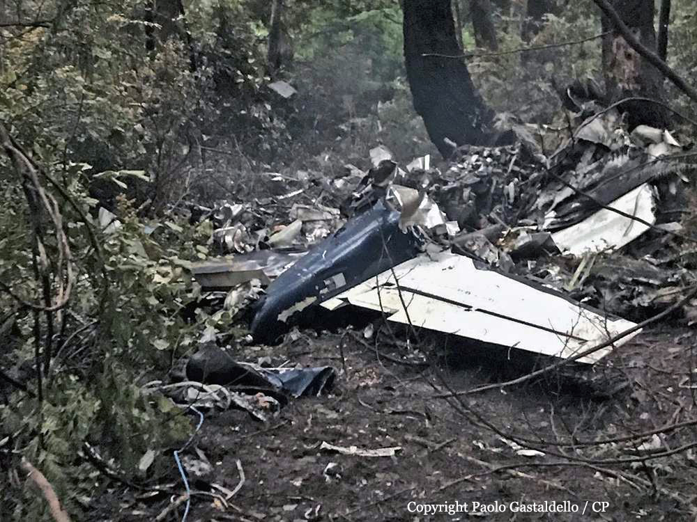
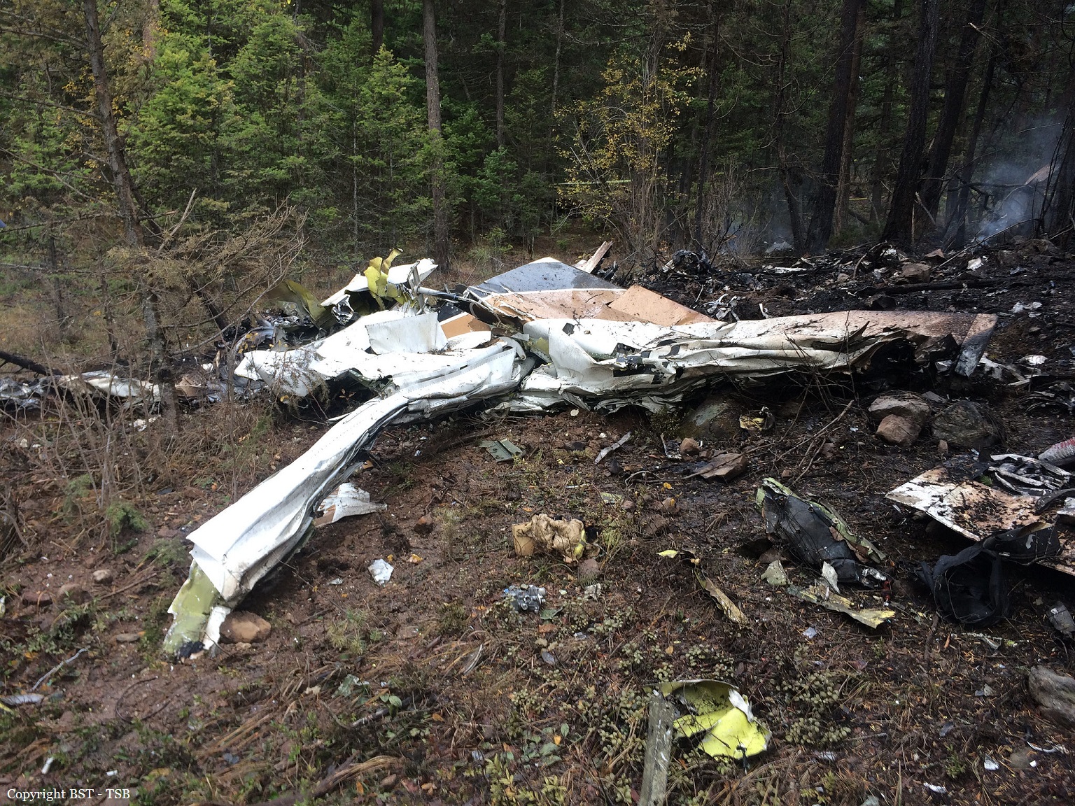
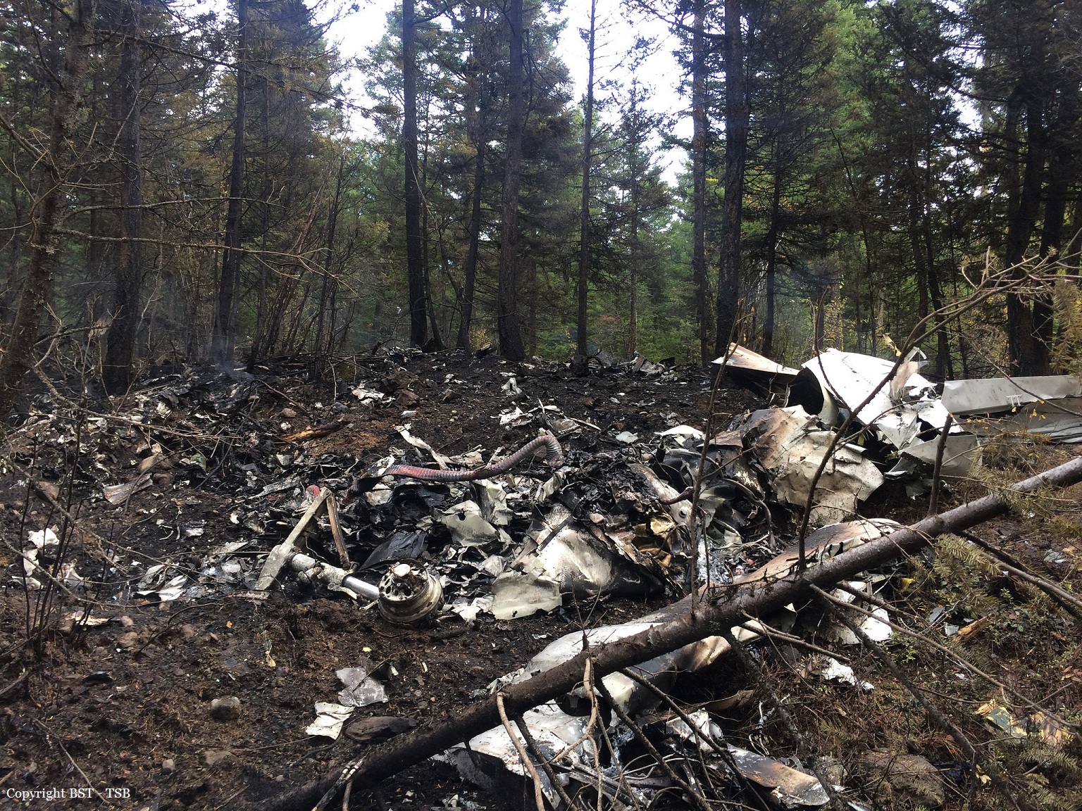
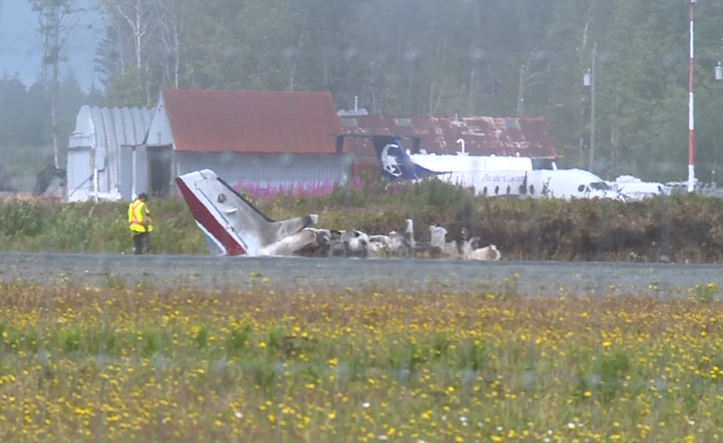
Shortly after takeoff, while in initial climb, the twin engine airplane stalled and crashed nearby the runway, bursting into flames. One occupant was rescued while two others were killed. The airplane was destroyed by a post crash fire. It is believed that the pilot encountered technical problems with an engine shortly after liftoff.

Crash of a De Havilland DHC-2 Beaver in Gold River

Date & Time: Jul 28, 2023 at 1720 LT
Type of aircraft:
Operator:
Registration:
C-FZVP
Flight Type:
Survivors:
Yes
Schedule:
Louie Bay - Gold River
MSN:
1033
YOM:
1957
Country:
Crew on board:
1
Crew fatalities:
Pax on board:
0
Pax fatalities:
Other fatalities:
Total fatalities:
0
Captain / Total flying hours:
10000
Circumstances:
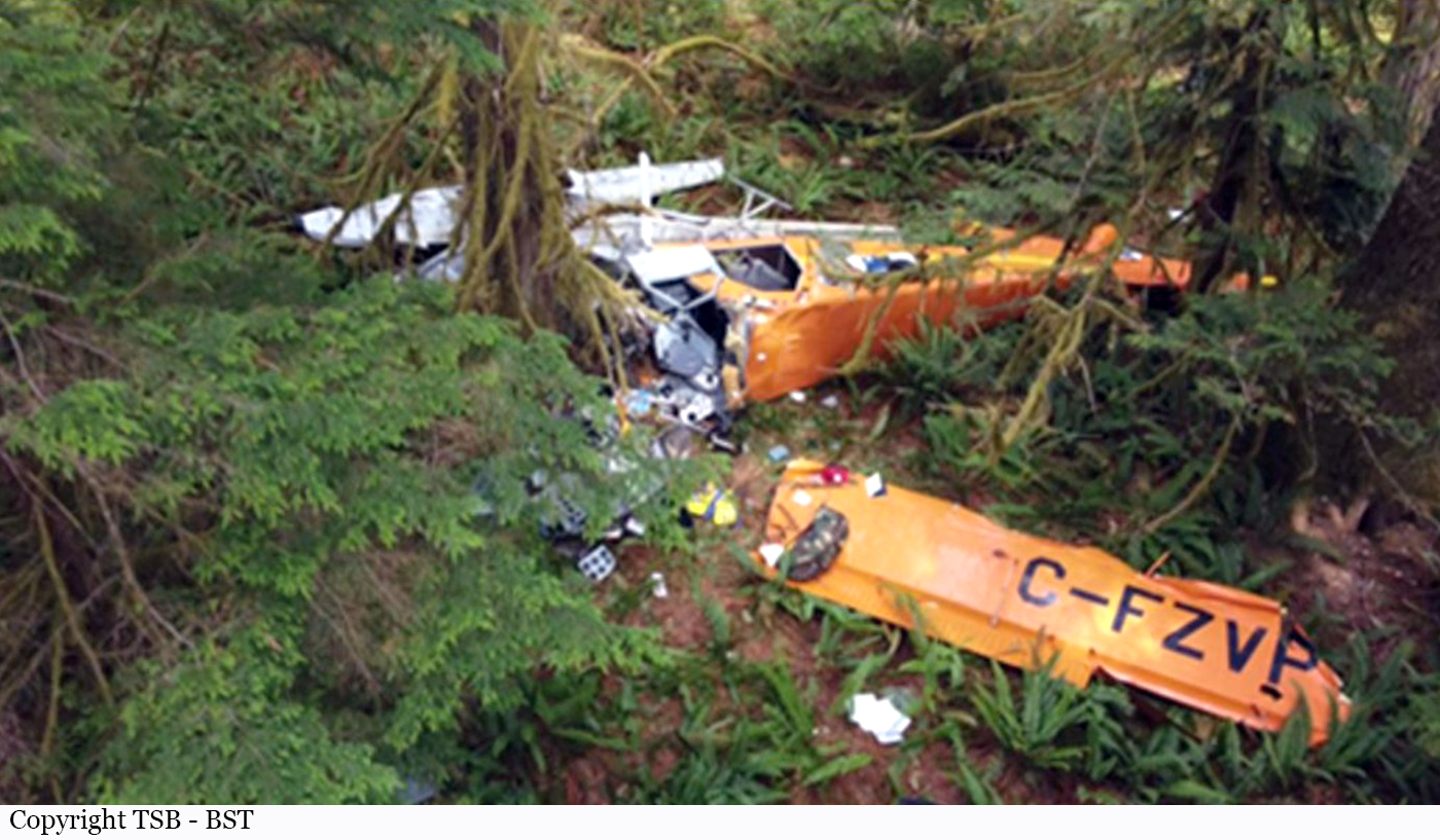
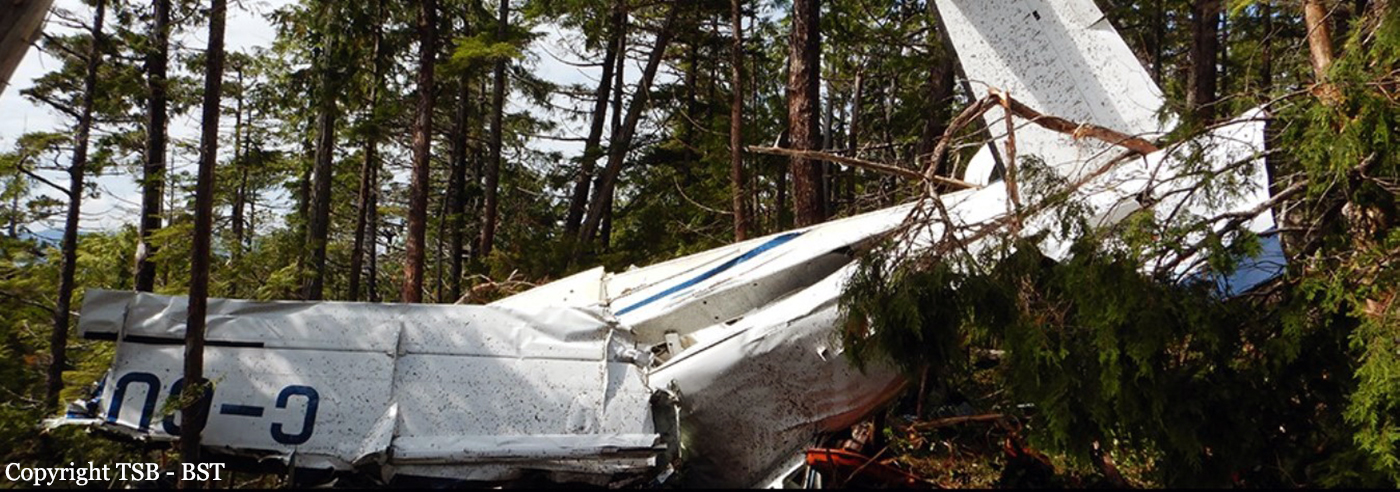
The single engine airplane was conducting a visual flight rules repositioning flight from Louie Bay on Nootka Island, British Columbia (BC), to Gold River Water Aerodrome (CAU6), BC, with only the pilot on board. On arrival at CAU6, the pilot noted a rough sea state in the company’s primary landing area and elected to land in the secondary area, a tree-lined river to the east of the base. The aircraft was observed overflying the company dock to the north and then turning right, aligning with the southwest direction of the river. When descending on the alignment turn to final approach, the aircraft experienced an uncommanded yaw and roll. It
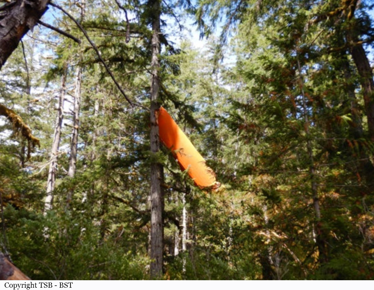
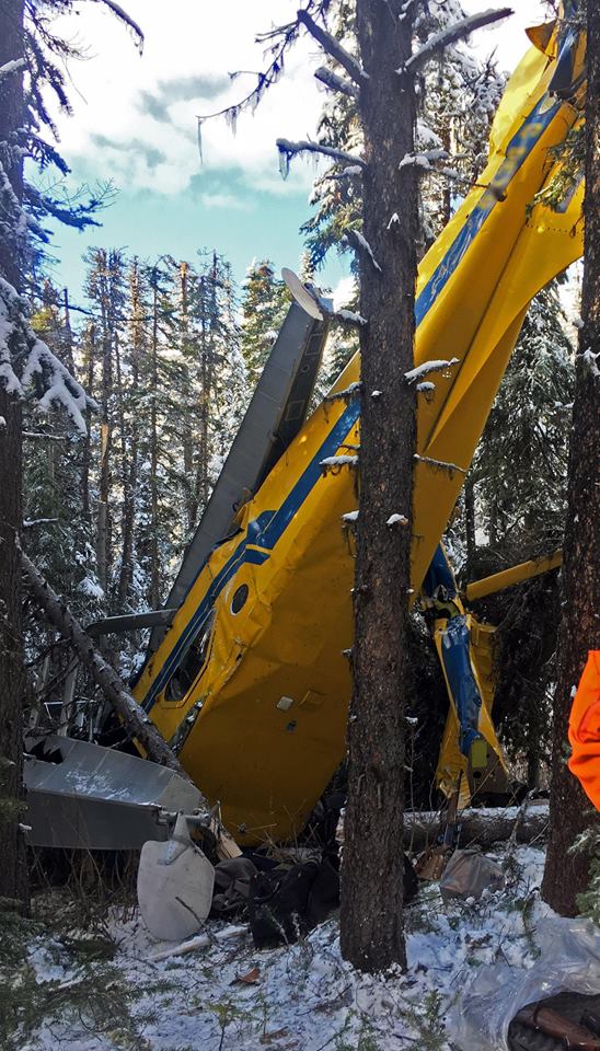
abruptly turned further right, heading west, and continued to descend toward the trees. It was reported that opposite aileron input, to try and arrest the uncommanded yaw and roll, increased the roll rate. At approximately 1720, the aircraft struck the forested area on the west side of the river, coming to rest approximately 75 feet from the river. There was no post-impact fire. The pilot received serious injuries, was extracted by local firefighting personnel, and attended to by local paramedics. He was then airlifted to hospital by a search and rescue helicopter.
Probable cause:
While on the right turn to final, the aircraft experienced an uncommanded yaw and roll. The application of aileron in the opposite direction made the condition worse. This is consistent with an aerodynamic stall.
Final Report:

Crash of a Quest Kodiak 100 near Tofino: 2 killed

Date & Time: Jun 21, 2023 at 1337 LT
Type of aircraft:
Registration:
C-GKTX
Flight Type:
Survivors:
Yes
Site:
Schedule:
Masset - Tofino
MSN:
100-0010
YOM:
2009
Country:
Crew on board:
1
Crew fatalities:
Pax on board:
3
Pax fatalities:
Other fatalities:
Total fatalities:
2
Captain / Total flying hours:
1200
Captain / Total hours on type:
250.00
Circumstances:
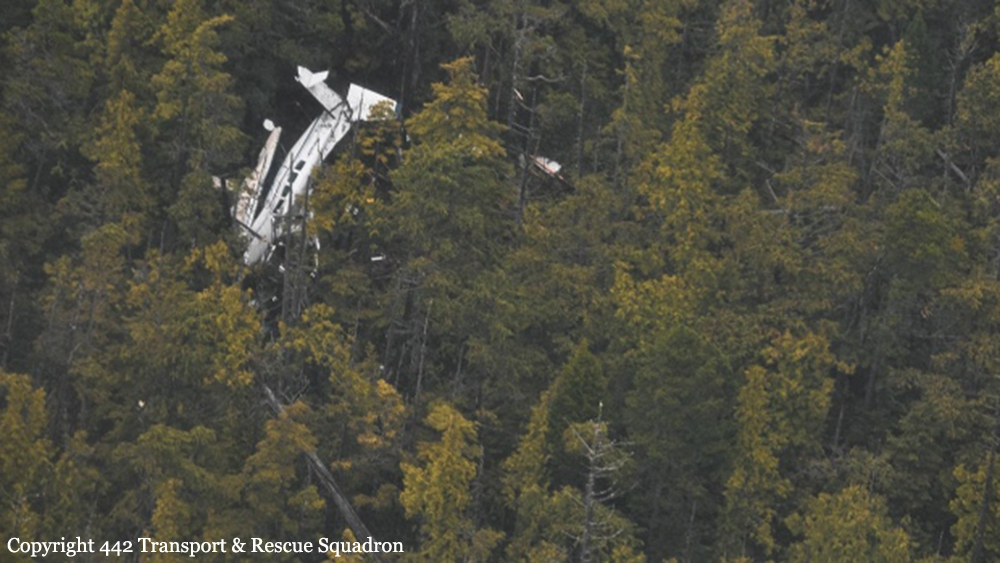
At 1121LT on 20 June 2023, the privately registered Quest Kodiak 100 amphibious float-equipped aircraft (registration C-GKTX, serial number 100-0010) departed Masset Airport (CZMT), British Columbia (BC), on an instrument flight rules (IFR) flight to Tofino/Long Beach Airport (CYAZ), BC, with 1 pilot and 3 passengers on board. While enroute, at 1246, the pilot contacted air traffic control to cancel IFR and continued the flight under visual flight rules (VFR). The aircraft continued the flight to the planned final destination, which was a cabin approximately 60 nautical miles northwest of CYAZ. The aircraft followed an inlet (Tahsis Narrows) toward the destination and continued for a straight-in landing on the water, near the cabin. On initial touchdown, both floats touched the surface of the water simultaneously. The aircraft bounced and, as the aircraft approached the surface of the landing area the 2nd time in a level attitude, the left float reportedly made contact with either a boat wake or object. 2 The force of the contact resulted in the aircraft bouncing to a height of approximately 30 feet and banking to the right. The pilot initiated a go-around. At 1337, during the initial climb over land, the aircraft contacted trees and then impacted the terrain. The pilot and 1 passenger were fatally injured, 1 passenger received serious injuries, and 1 passenger received minor injuries. There was a post-impact fire. The aircraft was destroyed. The emergency locator transmitter signal was received by the Joint Rescue Coordination Centre in Victoria, BC. The Canadian Coast Guard, Canadian Armed Forces search and rescue, the RCMP (Royal Canadian Mounted Police), and fire personnel responded.
Probable cause:
It is possible that the accident was the consequence of wind shear and downdrafts.
Final Report:

Crash of a Piper PA-60-602P Super 700 Aerostar on Gabriola Island: 3 killed

Date & Time: Dec 10, 2019 at 1805 LT
Operator:
Registration:
C-FQYW
Flight Type:
Survivors:
No
Schedule:
Cabo San Lucas – Chino – Bishop – Nanaimo
MSN:
60-8265-020
YOM:
1982
Country:
Crew on board:
1
Crew fatalities:
Pax on board:
2
Pax fatalities:
Other fatalities:
Total fatalities:
3
Captain / Total flying hours:
320
Aircraft flight hours:
5752
Circumstances:
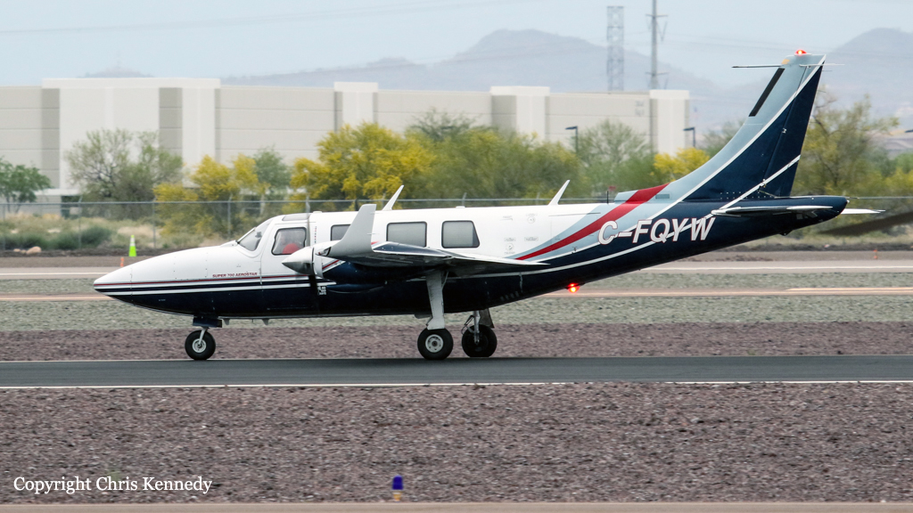
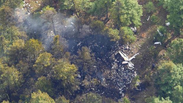
On 09 December 2019, a private Piper Aerostar PA-60-602P aircraft (registration C-FQYW, serial number 60-8265020), departed Cabo San Lucas International Airport (MMSL), Baja California Sur, Mexico, with 3 people on board, for a 2-day trip to Nanaimo Airport (CYCD), British Columbia (BC). As planned the aircraft stopped for an overnight rest at Chino Airport (KCNO), California, U.S. At 1142, on 10 December 2019, the aircraft departed KCNO on a visual flight rules (VFR) flight plan to Bishop Airport (KBIH), California, U.S., for a planned fuel stop. The aircraft departed KBIH at approximately 1425 on an instrument flight rules (IFR) flight plan to CYCD. On 10 December 2019, night started at 1654. At 1741, the Vancouver area control centre air traffic controller advised the pilot that an aerodrome special meteorological report (SPECI) had been issued for CYCD at 1731. The SPECI reported visibility as 2 ½ statute miles (SM) in light drizzle and mist, with an overcast ceiling of 400 feet above ground level (AGL). The pilot informed the controller that he would be conducting an instrument landing system (ILS) approach for Runway 16. At 1749, when the aircraft was approximately 32 nautical miles (NM) south of CYCD, the pilot contacted the controller to inquire about the weather conditions at Victoria International Airport (CYYJ), BC. The controller informed the pilot that a SPECI was issued for CYYJ at 1709 and it reported the visibility as 5 SM in mist, a broken ceiling at 600 feet AGL, and an overcast layer at 1200 feet AGL. The controller provided the occurrence flight with pilot observations from another aircraft that had landed at CYCD approximately 15 minutes before. That crew had reported being able to see the Runway 16 approach lights at minimums, i.e., at 373 feet AGL. Between 1753 and 1802, the controller provided vectors to the pilot in order to intercept the ILS localizer. At 1803, the controller observed that the aircraft had not intercepted the localizer for Runway 16. The aircraft had continued to the southwest, past the localizer, at an altitude of 2100 feet above sea level (ASL) and a ground speed of 140 knots. The controller queried the pilot to confirm that he was still planning to intercept the ILS for Runway 16. The pilot confirmed that he would be intercepting the ILS as planned. The aircraft made a heading correction and momentarily lined up with the localizer before beginning a turn to the west. At 1804:03, the pilot requested vectors from the controller and informed him that he “just had a fail.” The controller responded with instructions to “turn left heading zero nine zero, tight left turn.” The pilot asked the controller to repeat the heading. The controller responded with instructions to “…turn right heading three six zero.” The pilot acknowledged the heading; however, the aircraft continued turning right beyond the assigned heading while climbing to 2500 feet ASL and slowing to a ground speed of 80 knots. The aircraft then began to descend, picking up speed as it was losing altitude. At 1804:33, the aircraft descended to 1800 feet ASL and reached a ground speed of 160 knots. At 1804:40, the pilot informed the air traffic controller that the aircraft had lost its attitude indicator.Footnote6 At the same time, the aircraft was climbing into a 2nd right turn. At 1804:44, the air traffic controller asked the pilot what he needed from him; the pilot replied he needed a heading. The controller provided the pilot with a heading of three six zero. At 1804:47, the aircraft reached an altitude of 2700 feet ASL and a ground speed of 60 knots. The aircraft continued its right turn and began to lose altitude. The controller instructed the pilot to gain altitude if he was able to; however, the pilot did not acknowledge the instruction. The last encoded radar return for the aircraft was at 1805:26, when the aircraft was at 300 feet ASL and travelling at a ground speed of 120 knotsControl of the aircraft was lost. The aircraft collided with a power pole and trees in a wooded park area on Gabriola Island, BC, and then impacted the ground. The aircraft broke into pieces and caught fire. The 3 occupants on board received fatal injuries. As a result of being damaged in the accident, the emergency locator transmitter (Artex ME406, serial number 188-00293) did not activate.
Probable cause:
The occurrence aircraft was equipped with a BendixKing KI 825 electronic horizontal situation indicator (HSI) that was interfaced to the flight control system and GPS (global positioning system) Garmin GNS530W/430W. The HSI also supplies the autopilot system with heading information. The investigation determined that the HSI had failed briefly during operation on 22 November 2019 and a 2nd time, 3 days later, on 26 November 2019. The KI 825 HSI is electrically driven and therefore is either on and working, or off and dark with no display. The aircraft owner was in contact with an aircraft maintenance organization located at Boundary Bay Airport (CZBB), BC, and an appointment to bring the occurrence aircraft in for troubleshooting of the 2 brief HSI malfunctions had been made for 11 December 2019, i.e., the day after the accident. In total, 13 flights had been conducted after the 1st failure of the HSI. There were no journey log entries for defects with the HSI or evidence of maintenance completed. RegulationsFootnote9 require that defects that become apparent during flight operations be entered in the aircraft journey logbook, and advisory guidance in the regulatory standardsFootnote10 states that all equipment required for a particular flight or type of operation, such as the HSI in this case, be functioning correctly before flight. The HSI was destroyed in the accident and the investigation was unable to determine if it was operational on impact. Similarly, it could not be determined if the HSI was supplying the autopilot with heading information, or if the autopilot was engaged during the approach.
Final Report:

Crash of a De Havilland DHC-2 Beaver off Sechelt

Date & Time: Jul 30, 2019 at 1248 LT
Type of aircraft:
Registration:
C-GPZP
Flight Phase:
Flight Type:
Survivors:
Yes
Schedule:
Vancouver - Pender Harbour
MSN:
722
YOM:
1954
Country:
Crew on board:
1
Crew fatalities:
Pax on board:
2
Pax fatalities:
Other fatalities:
Total fatalities:
0
Circumstances:
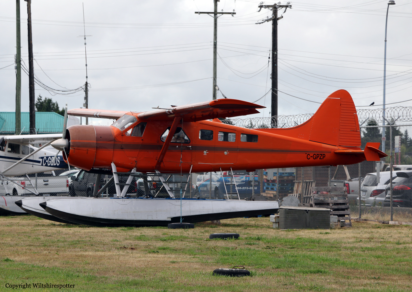
En route from Vancouver to Pender Harbour, the pilot encountered engine problems and elected to ditch the aircraft about three miles off Sechelt. All three occupants were able to evacuate the cabin before the aircraft sank and was lost. All three occupants were rescued.

Crash of a Cessna 208 Caravan 675 on Addenbroke Island: 4 killed

Date & Time: Jul 26, 2019 at 1104 LT
Type of aircraft:
Operator:
Registration:
C-GURL
Flight Phase:
Survivors:
Yes
Site:
MSN:
208-0501
YOM:
2008
Country:
Crew on board:
1
Crew fatalities:
Pax on board:
8
Pax fatalities:
Other fatalities:
Total fatalities:
4
Captain / Total flying hours:
8500
Captain / Total hours on type:
504.00
Aircraft flight hours:
4576
Circumstances:
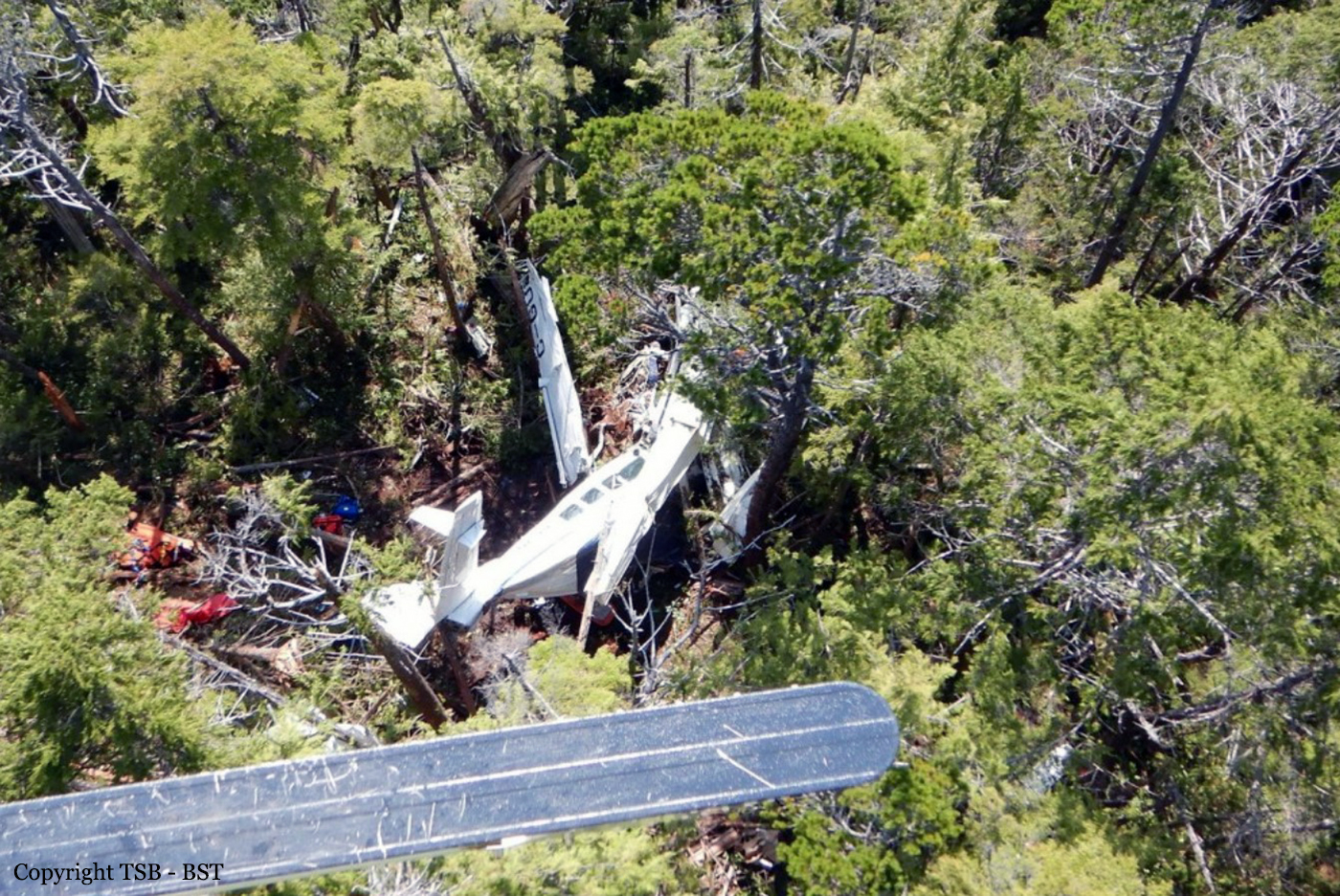
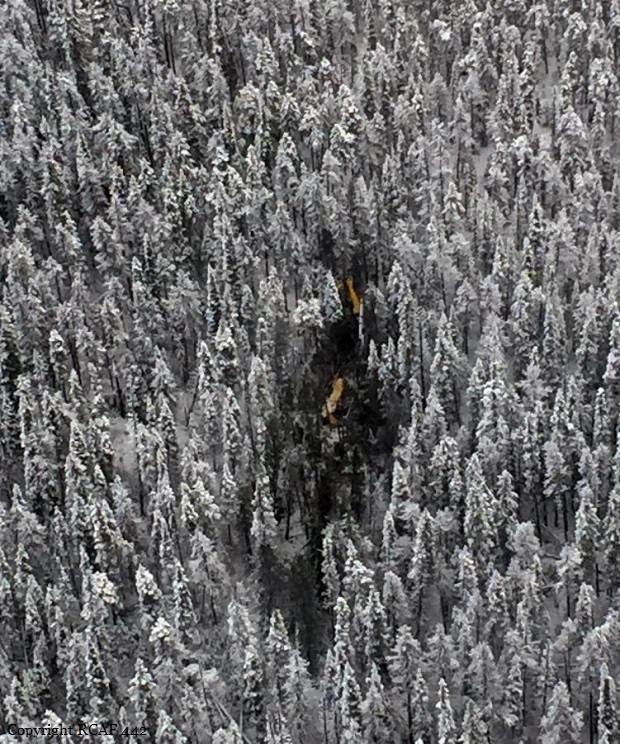
Seair Seaplanes (Seair) was contracted by a remote fishing lodge on the central coast of British Columbia (BC) (Figure 1) to provide seasonal transport of guests and supplies between Vancouver International Water Aerodrome (CAM9), BC, and the lodge, which is located about 66 nautical miles (NM) north-northwest of Port Hardy Airport (CYZT), BC, and about 29 NM southeast of Bella Bella (Campbell Island) Airport (CBBC), BC. On 26 July 2019, the occurrence pilot arrived at Seair’s CAM9 base at approximately 0630. Over the next hour, the pilot completed a daily inspection of the Cessna 208 Caravan aircraft (registration C-GURL, serial number 20800501), added 300 L of fuel to the aircraft, and began flight planning activities, which included gathering and interpreting weather information. On the morning of the occurrence, 4 Seair visual flight rules (VFR) flights were scheduled to fly to the central coast of BC, all on Caravan aircraft: C-GURL (the occurrence aircraft) was to depart CAM9 at 0730, C-GSAS at 0745, C-FLAC at 0800, and C-GUUS at 0900. The first 3 flights were direct flights to the fishing lodge, while the 4th flight had an intermediate stop at the Campbell River Water Aerodrome (CAE3), BC, to pick up passengers before heading to a research institute located approximately 4 NM southwest of the fishing lodge. Because of poor weather conditions in the central coast region, however, all of the flights were delayed. After the crews referred to weather cameras along the central coast region, the flights began to depart, but in a different order than originally scheduled. It is not uncommon for the order of departure to change when groups of aircraft are going to the same general location. One of Seair’s senior operational staff (operations manager) departed CAM9 at 0850 aboard C-FLAC. C-GUUS, bound for the research institute, departed CAM9 next at 0906, and then the occurrence aircraft departed at 0932 (Table 1). The pilot originally scheduled to fly C-GSAS declined the flight. This pilot had recently upgraded to the Caravan, had never flown to this destination before, and was concerned about the weather at the destination. When Seair’s chief pilot returned to CAM9 at 0953 after a series of scheduled flights on a different type of aircraft, he assumed the last remaining flight to the lodge and C-GSAS departed CAM9 at 1024.After departing the Vancouver terminal control area, the occurrence aircraft climbed to 4500 feet above sea level (ASL) and remained at this altitude until 1023, when a slow descent was initiated. The aircraft levelled off at approximately 1300 feet ASL at 1044, when it was approximately 18 NM northeast of Port Hardy Airport (CYZT), BC, and 57 NM southeast of the destination. At 1050, the occurrence aircraft slowly descended again as the flight continued northbound. During this descent, the aircraft’s flaps were extended to the 10° position. At this point, the occurrence aircraft was 37 NM south-southeast of the fishing lodge. The aircraft continued to descend until it reached an altitude of approximately 330 feet ASL, at 1056. By this point, the occurrence aircraft was being operated along the coastline, but over the ocean. C-FLAC departed from the fishing lodge at 1056 on the return flight to CAM9. C-FLAC flew into the Fitz Hugh Sound and proceeded southbound along the western shoreline. At approximately 1100, it flew through an area of heavy rain where visibility was reduced to about 1 statute mile (SM). C-FLAC descended to about 170 feet ASL and maintained this altitude for the next 5 minutes before climbing to about 300 feet ASL. As the southbound C-FLAC entered Fitz Hugh Sound from the north at Hecate Island, the occurrence aircraft entered Fitz Hugh Sound from the south, near the southern tip of Calvert Island. The occurrence aircraft then changed course from the western to the eastern shoreline, and descended again to about 230 feet ASL (Figure 2), while maintaining an airspeed of approximately 125 knots. The 2 aircraft established 2-way radio contact. The pilot of C-FLAC indicated that Addenbroke Island was visible when he flew past it, and described the weather conditions in the Fitz Hugh Sound to the occurrence pilot as heavy rain showers and visibility of approximately 1 SM around Kelpie Point. The occurrence pilot then indicated that he would maintain a course along the eastern shoreline of the sound. At 1103, the 2 aircraft were separated by 2 NM and passed each other on reciprocal tracks, approximately 4 NM south of the accident site. The occurrence aircraft maintained a consistent track and altitude for the next 54 seconds, then slowly began a 25° change in track to the west (0.35 NM from the Addenbroke Island shoreline). Seven seconds after the turn started (0.12 NM from the island’s shoreline), the aircraft entered a shallow climb averaging 665 fpm. At 1104:55, the occurrence aircraft struck trees on Addenbroke Island at an altitude of approximately 490 feet ASL, at an airspeed of 114 knots, and in a relatively straight and level attitude. The aircraft then continued through the heavily forested hillside for approximately 450 feet, coming to rest at an elevation of 425 feet ASL, 9.7 NM east-southeast of the destination fishing lodge. The pilot and three passengers were killed and five other occupants were injured, four seriously.
Probable cause:
Findings as to causes and contributing factors:
These are conditions, acts or safety deficiencies that were found to have caused or contributed to this occurrence.
1. The flight departed Vancouver International Water Aerodrome even though the reported and forecast weather conditions in the vicinity of the destination were below visual flight rules minima; the decision to depart may have been influenced by the group dynamics of Seair pilots and senior staff at the flight planning stage.
2. The pilot continued flight in reduced visibility, without recognizing the proximity to terrain, and subsequently impacted the rising terrain of Addenbroke Island.
3. The configuration of the visual and aural alerting systems and the colouration ambiguity in the primary flight display of the Garmin G1000 was ineffective at alerting the occurrence pilot to the rising terrain ahead.
4. The occurrence pilot’s attention, vigilance, and general cognitive function were most likely influenced to some degree by fatigue.

Findings as to risk:
These are conditions, unsafe acts or safety deficiencies that were found not to be a factor in this occurrence but could have adverse consequences in future occurrences.
1. If pilots do not receive specialized training that addresses the hazards of their flying environment, there is a risk that they will not be proficient in the specific skills necessary to maintain safety margins.
2. If aircraft are operated in excess of the maximum allowable take-off weight, there is a risk of performance degradation and adverse flight characteristics, which could jeopardize the safety of the flight.
3. If cargo is stowed in front of emergency exits, there is a risk that egress may be impeded in an emergency situation, potentially increasing evacuation time and risk of injuries.
4. If air operators do not employ a methodology to accurately assess threats inherent to daily operations, then there is a risk that unsafe practices will become routine and operators will be unaware of the increased risk.
5. If air operators that have flight data monitoring capabilities do not actively monitor their flight operations, they may not be able to identify drift toward unsafe practices that increase the risk to flight crew and passengers.
6. If Transport Canada’s oversight of operators is insufficient, there is a risk that air operators will be non-compliant with regulations or drift toward unsafe practices, thereby reducing safety margins.
7. If Transport Canada does not make safety management systems mandatory, and does not assess and monitor these systems, there is an increased risk that companies will be unable to effectively identify and mitigate the hazards associated within their operations.

Other findings:
These items could enhance safety, resolve an issue of controversy, or provide a data point for future safety studies.
1. The pilot was actively using a cellphone throughout the flight; the operator provided no guidance or limitations on approved cellphone use in flight.
Final Report:

Crash of a De Havilland DH.89A Dragon Rapide 4 in Abbotsford

Date & Time: Aug 11, 2018 at 1731 LT
Operator:
Registration:
N683DH
Flight Phase:
Flight Type:
Survivors:
Yes
Schedule:
Abbotsford - Abbotsford
MSN:
6782
YOM:
1944
Country:
Crew on board:
1
Crew fatalities:
Pax on board:
4
Pax fatalities:
Other fatalities:
Total fatalities:
0
Captain / Total flying hours:
10000
Captain / Total hours on type:
20.00
Circumstances:
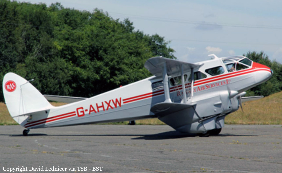
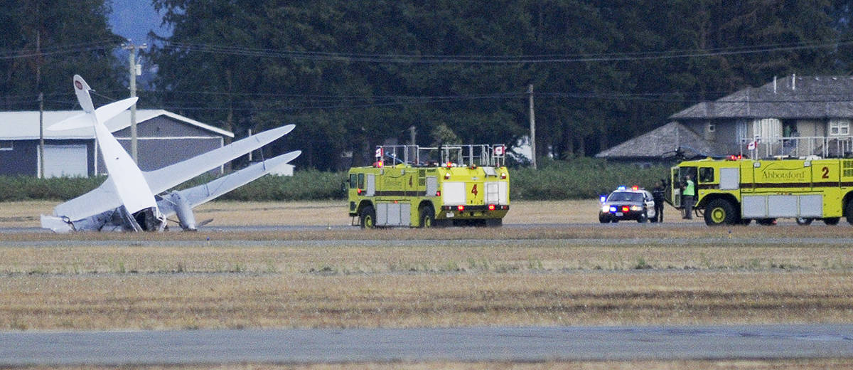
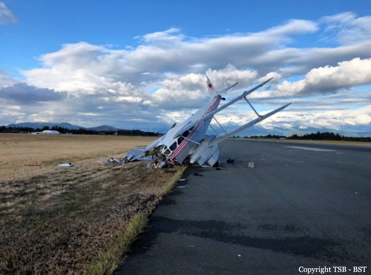
The vintage de Havilland DH-89A MKIV Dragon Rapide biplane (U.S. registration N683DH, serial number 6782) operated by Historic Flight Foundation was part of the static aircraft display at the Abbotsford International Airshow at Abbotsford Airport (CYXX), British Columbia. Following the conclusion of the airshow that day, the aircraft was being used to provide air rides. At approximately 1731 on 11 August 2018, the aircraft began its takeoff from Runway 25 with the pilot and 4 passengers on board for a local flight to the southeast. During the takeoff, the aircraft encountered strong, gusting crosswinds. It climbed to about 30 feet above ground level before descending suddenly and impacting the runway, coming to rest on its nose immediately off the right edge of the runway. Within 2 minutes, 2 aircraft rescue firefighting trucks arrived on the scene along with an operations/command vehicle. About 10 minutes later, 2 St. John Ambulances arrived. A representative of the HFF was escorted to the scene to ensure all electronics on the aircraft were turned off. Shortly thereafter, 2 BC Ambulance Service ground ambulances arrived, followed by 2 City of Abbotsford fire trucks. Two BC Ambulance Service air ambulances arrived after that. The fire trucks stabilized the aircraft, and the first responders who arrived with the fire truck finished evacuating the occupants. The pilot and 1 passenger received serious injuries; the other 3 passengers received minor injuries. All of the aircraft occupants were taken to the hospital. The aircraft was substantially damaged. There was a fuel spill, but no fire. The emergency locator transmitter activated.
Final Report:

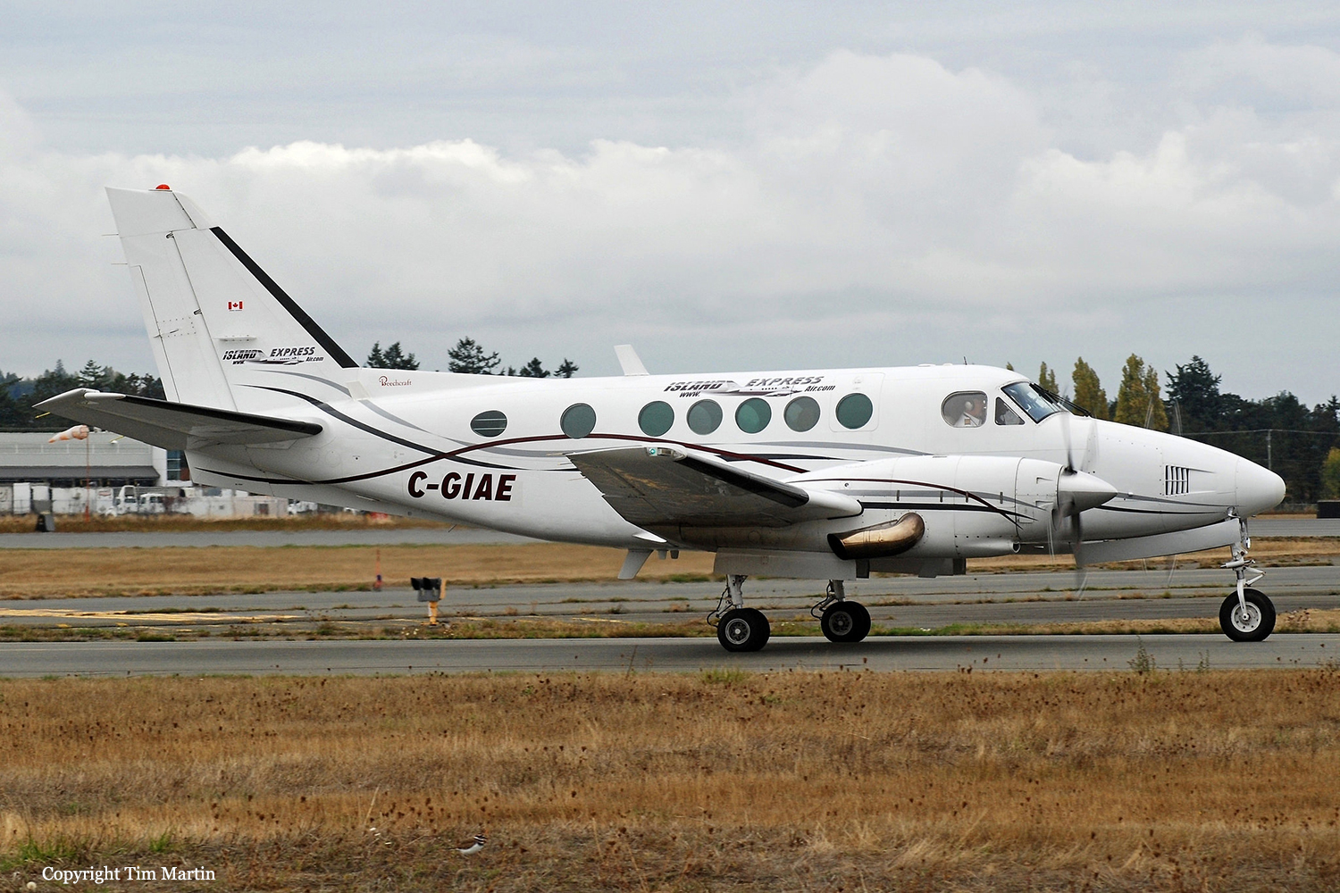
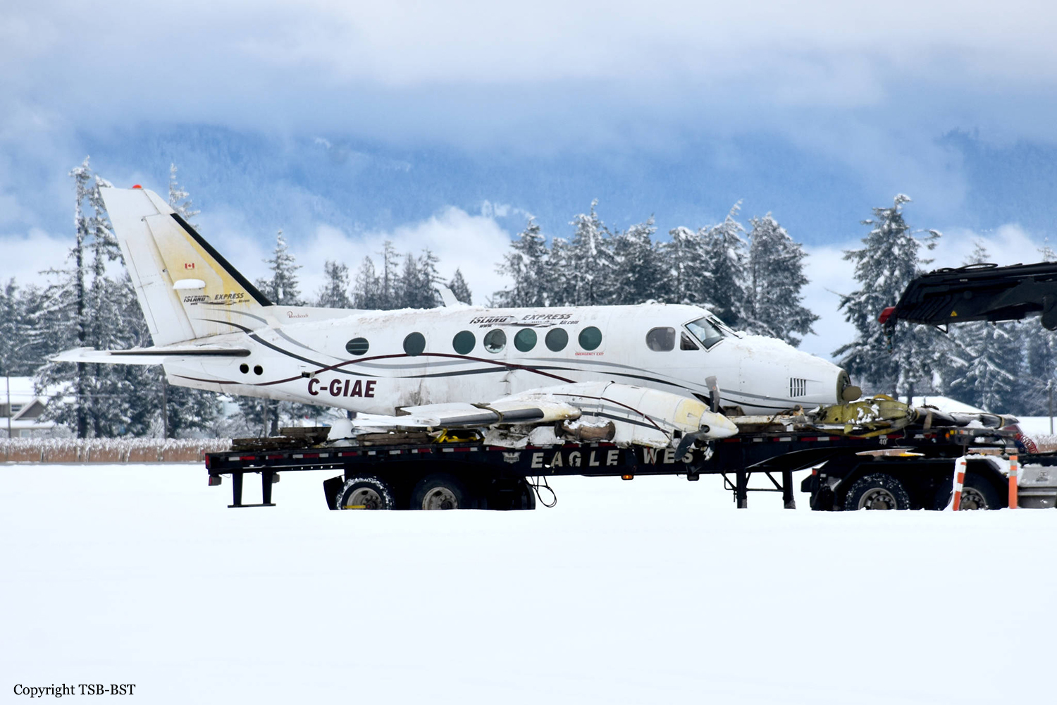
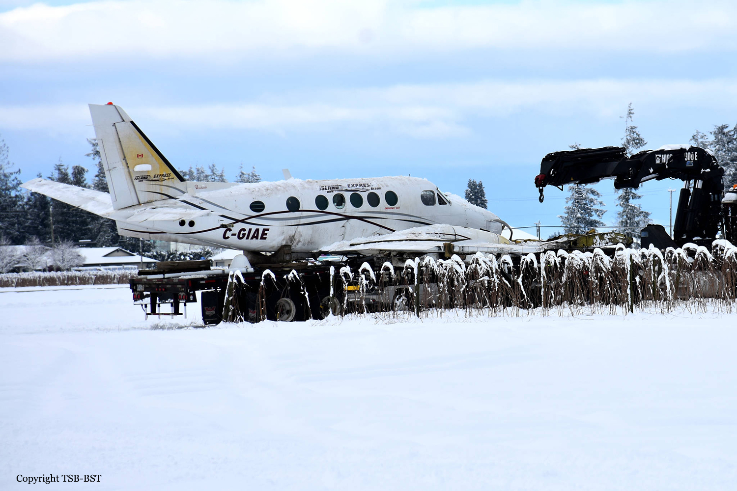
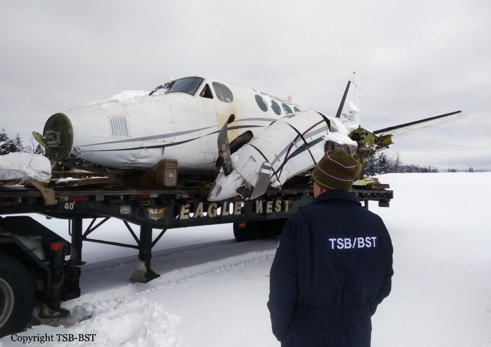
Crash of a Beechcraft B100 King Air in Abbotsford

Date & Time: Feb 23, 2018 at 1204 LT
Type of aircraft:
Operator:
Registration:
C-GIAE
Flight Phase:
Survivors:
Yes
Schedule:
Abbotsford - San Bernardino
MSN:
BE-8
YOM:
1976
Flight number:
IAX640
Country:
Crew on board:
1
Crew fatalities:
Pax on board:
9
Pax fatalities:
Other fatalities:
Total fatalities:
0
Captain / Total flying hours:
10000
Captain / Total hours on type:
800.00
Aircraft flight hours:
10580
Circumstances:
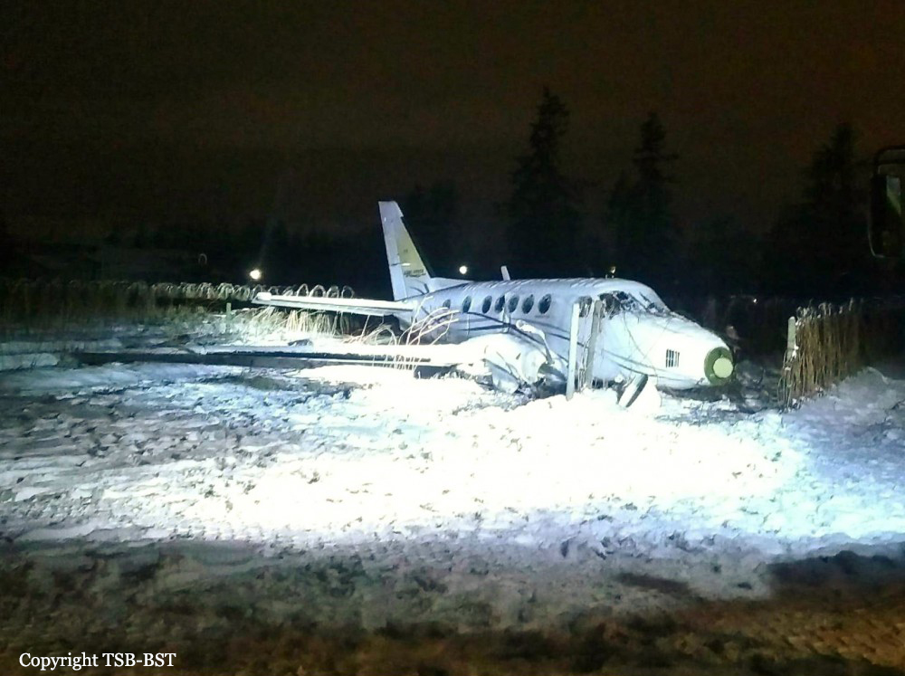
Weather conditions at Abbotsford at the time of departure consisted of a temperature of -2°C in moderate to heavy snowfall with winds of approximately 10 knots. Prior to the departure, the fuel tanks were filled to capacity and the pilot and passengers boarded the aircraft inside the operator's heated hangar. The aircraft was towed outside of the hangar without being treated with anti-ice fluid, and taxied for the departure on runway 07. Due to an inbound arrival at Abbotsford, C-GIAE was delayed for departure. Once cleared for takeoff, the aircraft had been exposed to snow and freezing conditions for approximately 14 minutes. After becoming airborne, the aircraft experienced power and control issues shortly after the landing gear was retracted. The aircraft collided with terrain within the airport perimeter. Four passengers and the pilot sustained serious injuries as a result of the accident which destroyed the aircraft.
Probable cause:
The accident was the consequence of the combination of the following findings:
- The occurrence aircraft exited a warm hangar and was exposed to 14 minutes of heavy snow in below-freezing conditions. This resulted in a condition highly conducive to severe ground icing,
- As the aircraft climbed out of ground effect on takeoff, it experienced an aerodynamic stall as a result of wing contamination,
- The pilot’s decision making was affected by continuation bias, which resulted in the pilot attempting a takeoff with an aircraft contaminated with ice and snow adhering to its critical surfaces,
- The pilot and the passenger seated in the right-hand crew seat were not wearing the available shoulder harnesses. As a result, they sustained serious head injuries during the impact sequence,
- During the impact sequence, the cargo restraint system used to secure the baggage in the rear baggage compartment failed, causing some of the baggage to injure passengers seated in the rear of the aircraft cabin,
- The aircraft was not airworthy at the time of the occurrence as a result of an incomplete airworthiness directive.
Final Report:

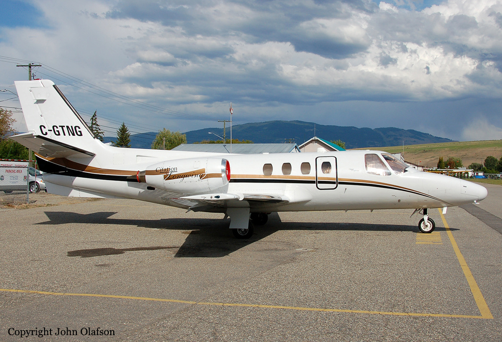
Crash of a Cessna 500 Citation I in Winfield: 4 killed

Date & Time: Oct 13, 2016 at 2136 LT
Type of aircraft:
Operator:
Registration:
C-GTNG
Flight Phase:
Flight Type:
Survivors:
No
Schedule:
Kelowna – Calgary
MSN:
500-0169
YOM:
1974
Country:
Crew on board:
1
Crew fatalities:
Pax on board:
3
Pax fatalities:
Other fatalities:
Total fatalities:
4
Captain / Total flying hours:
3912
Captain / Total hours on type:
525.00
Aircraft flight hours:
8649
Circumstances:
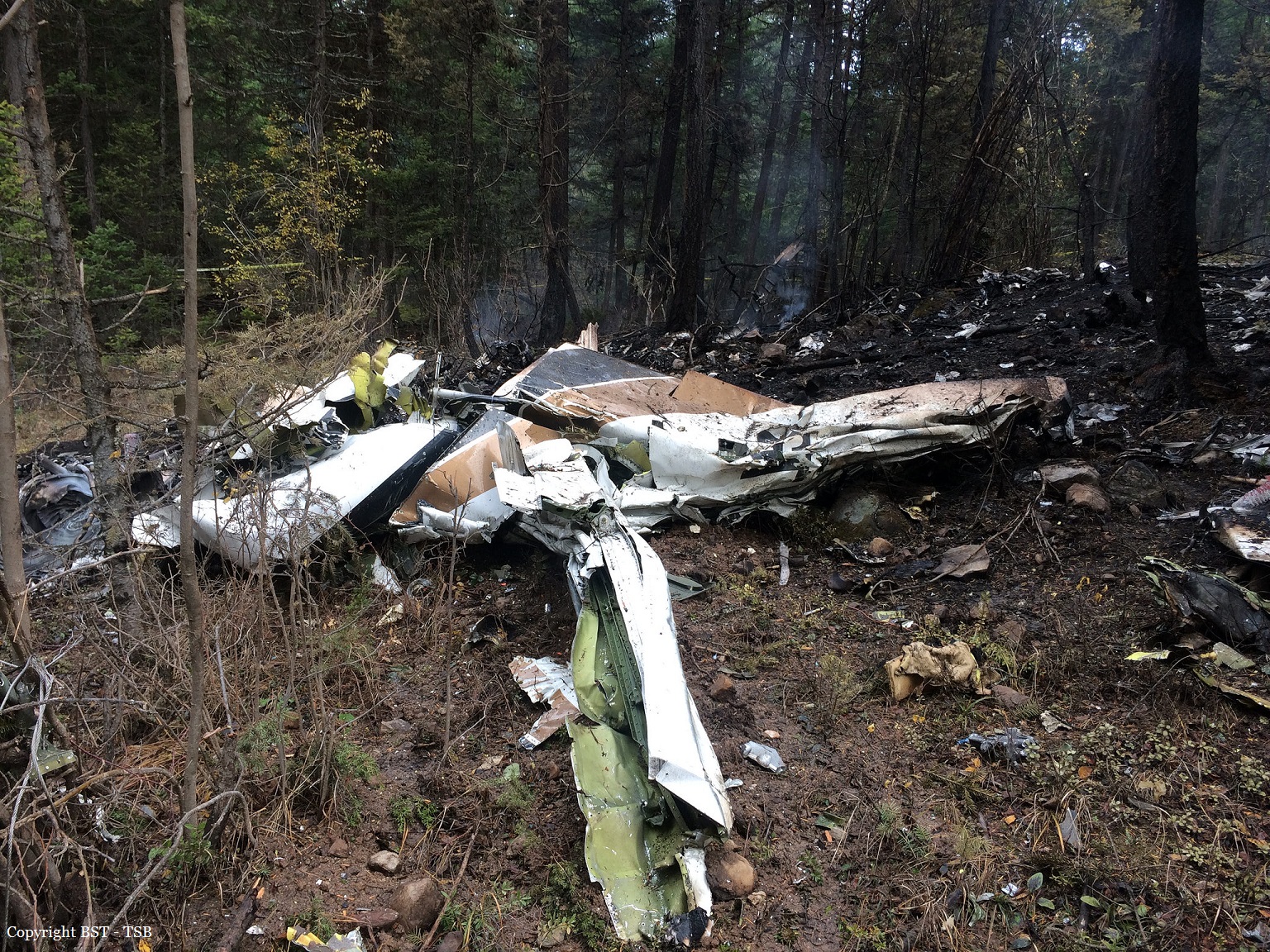
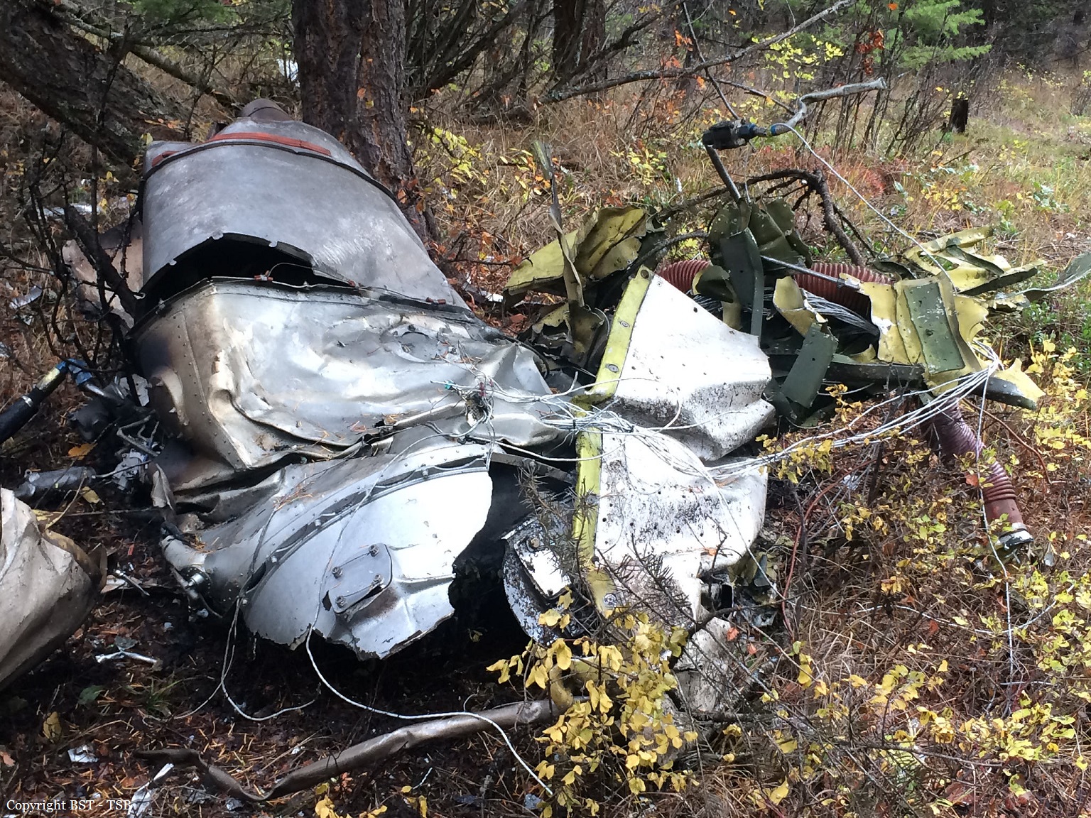
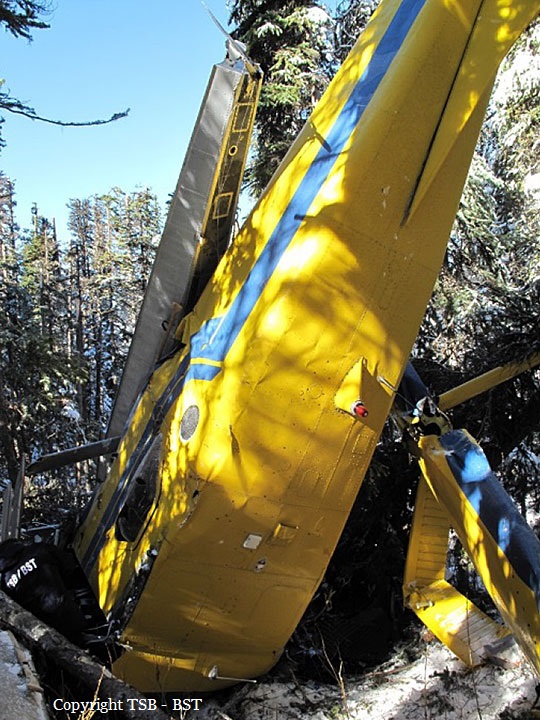
The pilot and 3 passengers boarded the aircraft. At 2126, the pilot obtained an IFR clearance from the CYLW ground controller for the KELOWNA SEVEN DEP standard instrument departure (SID) procedure for Runway 34. The instructions for the runway 34 KELOWNA SEVEN DEP SID were to climb to 9000 feet ASL, or to an altitude assigned by air traffic control (ATC), and to contact the Vancouver Area Control Centre (ACC) after passing through 4000 feet ASL. The aircraft was then to climb and track 330° magnetic (M) inbound to the Kelowna non-directional beacon (LW). From LW, the aircraft was to climb and track 330°M outbound for vectors to the filed or assigned route. At 2127, C-GTNG began to taxi toward Runway 34. At 2131, the CYLW tower controller cleared the aircraft to take off from the intersection of Runway 34 and Taxiway D. The pilot acknowledged the clearance and began the take-off roll on Runway 34 about 1 minute later. Radar data showed that, at 2133:41, the aircraft was 0.5 nautical miles (nm) beyond the departure end of the runway and was climbing at more than 4000 feet per minute (fpm) through 2800 feet ASL, at a climb angle of approximately 16°. In that time, it had deviated laterally by about 3° to the right of the 330°M track associated with the SID. At 2134:01, when the aircraft was 1.2 nm beyond the runway, it had climbed through 3800 feet ASL and deviated further to the right of the intended routing. The aircraft’s rate of climb decreased to about 1600 fpm, and its ground speed was 150 knots. A short time later, the aircraft’s rate of climb decreased to 600 fpm, its climb angle decreased to 2°, and its ground speed had increased to 160 knots. At 2134:22, the aircraft was 2.1 nm beyond the departure end of the runway, and it was climbing through approximately 4800 feet ASL. The aircraft had deviated about 13° to the right of the intended track, and its rate of climb reached its maximum value of approximately 000 fpm, 3 with a climb angle of about 22°. The ground speed was roughly 145 knots. At 2134:39, the aircraft was 2.7 nm beyond the departure end of the runway, passing through 5800 feet ASL, and had deviated about 20° to the right of the intended routing. The rate of climb was approximately 2000 fpm, with a climb angle of about 7°. According to the SID, the pilot was to make initial contact with the ACC after the aircraft had passed through 4000 feet ASL.Initial contact was made when the aircraft was passing through 6000 feet ASL, at 2134:42. At 2134:46, the ACC acknowledged the communication and indicated that the aircraft had been identified on radar. The aircraft was then cleared for a right turn direct to the MENBO waypoint once it was at a safe altitude, or once it was climbing through 8000 feet ASL. The aircraft was also cleared to follow the flight-planned route and climb to 10 000 feet ASL. At 2134:55, the pilot read back the clearance as the aircraft climbed through 6400 feet ASL, with a rate of climb of approximately 2400 fpm. The aircraft was tracking about 348°M at a ground speed of about 170 knots. At 2135:34, the aircraft began a turn to the right, which was consistent with the instruction from the ACC. Flying directly to the MENBO waypoint required the aircraft to be on a heading of 066°M, requiring a right turn of about 50°. At this point, the aircraft was still climbing and was passing through 8300 feet ASL. The rate of climb was about 3000 fpm. The aircraft continued the right turn and was tracking through 085°M. After reaching a peak altitude of approximately 8600 feet ASL, the aircraft entered a steep descending turn to the right, consistent with the characteristics of a spiral dive. At 2135:47, the ACC controller cleared C-GTNG to climb to FL 250. The lack of radar returns and radio communications from the aircraft prompted the controller to initiate search activities. At 2151, NAV CANADA notified first responders, who located the accident site in forested terrain at about midnight. The aircraft had been destroyed, and all of the occupants had been fatally injured.
Probable cause:
The aircraft departed controlled flight, for reasons that could not be determined, and collided with terrain.
Final Report:

Crash of a De Havilland DHC-2 Beaver I near Laidman Lake: 1 killed

Date & Time: Oct 10, 2016 at 0844 LT
Type of aircraft:
Registration:
C-GEWG
Flight Phase:
Flight Type:
Survivors:
Yes
Schedule:
Vanderhoof - Laidman Lake
MSN:
842
YOM:
1955
Country:
Crew on board:
1
Crew fatalities:
Pax on board:
4
Pax fatalities:
Other fatalities:
Total fatalities:
1
Captain / Total flying hours:
280
Captain / Total hours on type:
23.00
Circumstances:
On 10 October 2016, at approximately 0820 Pacific Daylight Time, a privately operated de Havilland DHC-2 Beaver aircraft on amphibious floats (registration C-GEWG, serial number 842), departed from Vanderhoof Airport, British Columbia, for a day visual flight rules flight to Laidman Lake, British Columbia. The pilot and 4 passengers were on board. Approximately 24 minutes into the flight, the aircraft struck terrain about 11 nautical miles east of Laidman Lake. The 406 MHz emergency locator transmitter (ELT) activated on impact. The ELT's distress signal was detected by the Cospas-Sarsat satellite system, and a search-and-rescue operation was initiated by the Joint Rescue Coordination Centre Victoria. One of the passengers was able to call 911 using a cell phone. The pilot was fatally injured, and 2 passengers were seriously injured. The other 2 passengers sustained minor injuries. The aircraft was substantially damaged. There was no post-impact fire.
Probable cause:
Findings as to causes and contributing factors:
1. As the aircraft approached the mountain ridge, the high overcast ceiling and uniform snow-covered vegetation were conducive to optical illusions associated with flight in mountainous terrain. These illusions likely contributed to the pilot’s misjudgment of the proximity of the terrain, inadvertent adoption of an increasingly nose-up attitude, and non-detection of the declining airspeed before banking the aircraft to turn away from the hillside.
2. As the angle of bank increased during the turn, the stall speed also increased and the aircraft entered an accelerated stall.
3. The aircraft’s out-of-limit weight-and-balance condition increased its stall speed and degraded its climb performance, stability, and slow-flight characteristics. As a result, its condition, combined with the aircraft’s low altitude, likely prevented the pilot from regaining control of the aircraft before the collision with the terrain.
4. The absence of a stall warning system deprived the pilot of the last line of defence against an aerodynamic stall and the subsequent loss of control of the aircraft.
5. The forward shifting of the unsecured cargo and the partial detachment of the rear seats during the impact resulted in injuries to the passengers.
6. During the impact sequence, the load imposed on the pilot’s lap-belt attachment points was transferred to the seat-attachment points, which then failed in overload. As a result, the seat moved forward during the impact and the pilot was fatally injured.

Findings as to risk:
1. If pilots do not obtain quality sleep during the rest period prior to flying, there is a risk that they will operate an aircraft while fatigued, which could degrade pilot performance.
2. If cargo is not secured, there is a risk that it will shift forward during an impact or turbulence and injure passengers or crew.

Other findings:
1. Because the aircraft was equipped with a 406 MHz emergency locator transmitter that transmitted an alert message to the Cospas-Sarsat satellites system in combination with the homing signal transmitted on 121.5 MHz, the Joint Rescue Coordination Centre aircraft was able to locate the wreckage and occupants in a timely manner.
Final Report: