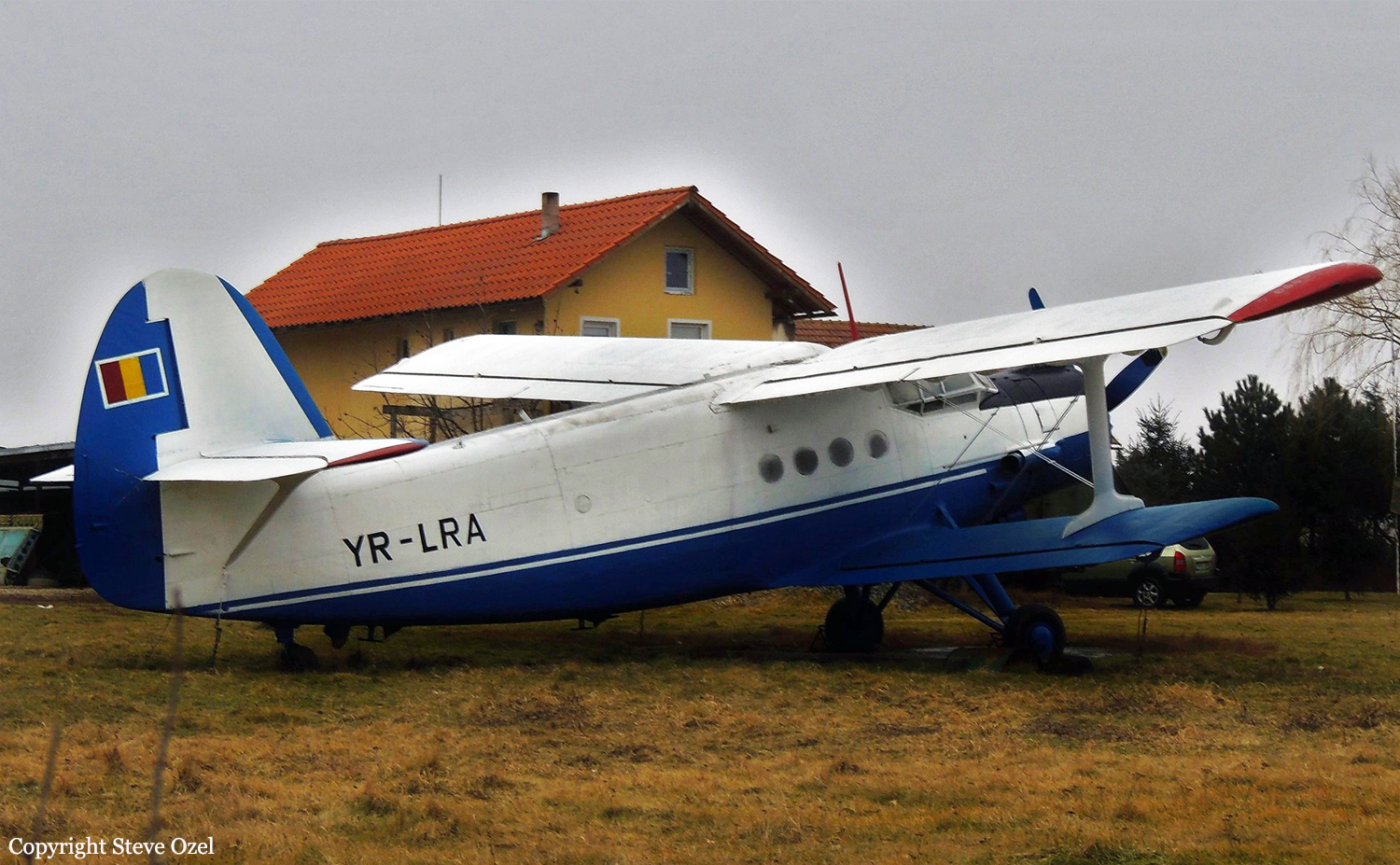
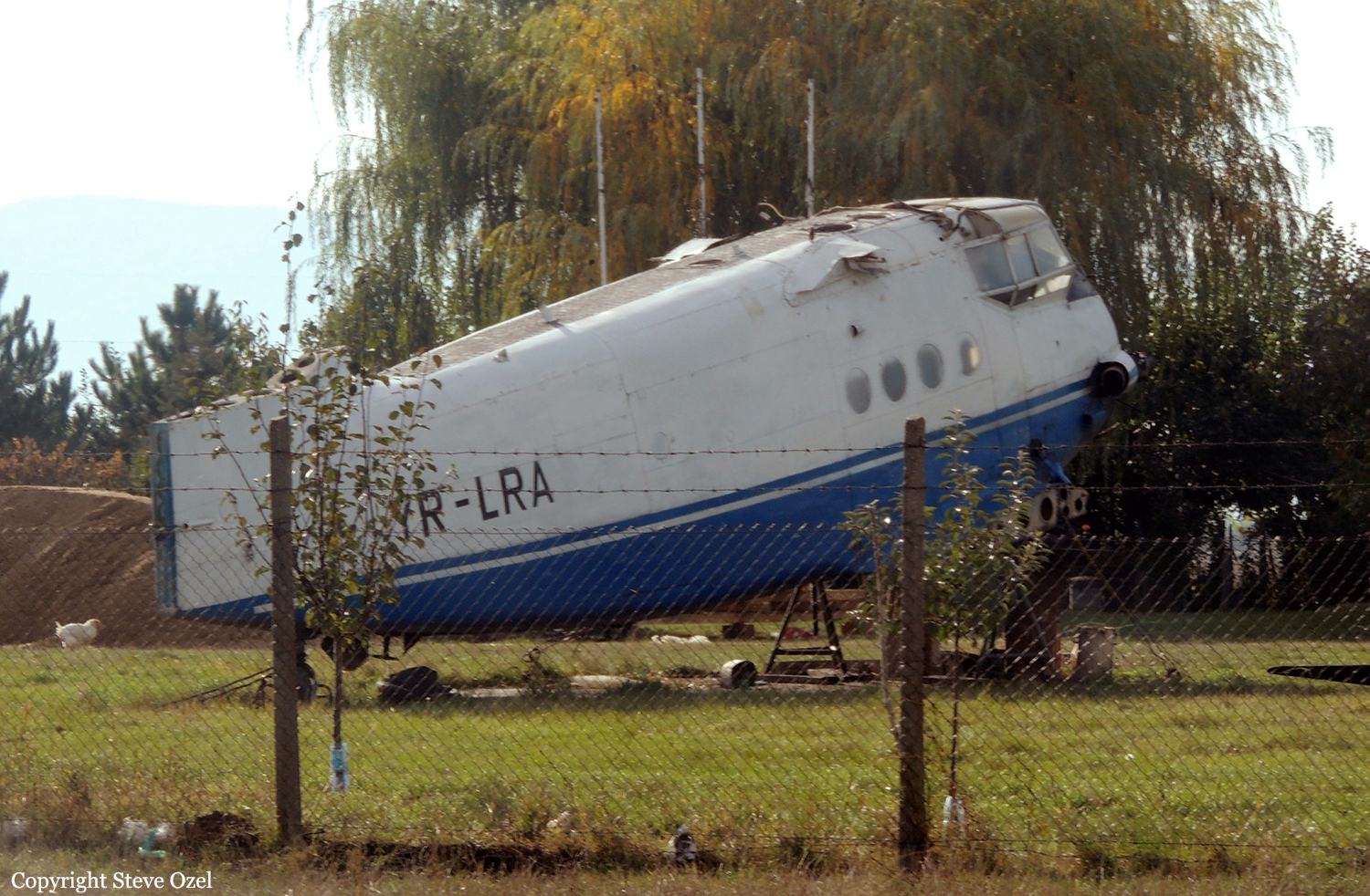
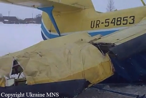
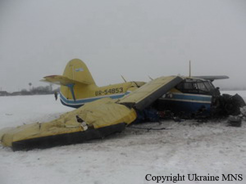
Crash of a PZL-Mielec AN-2R in Strehaia
Date & Time:
May 10, 2013 at 1020 LT
Operator:

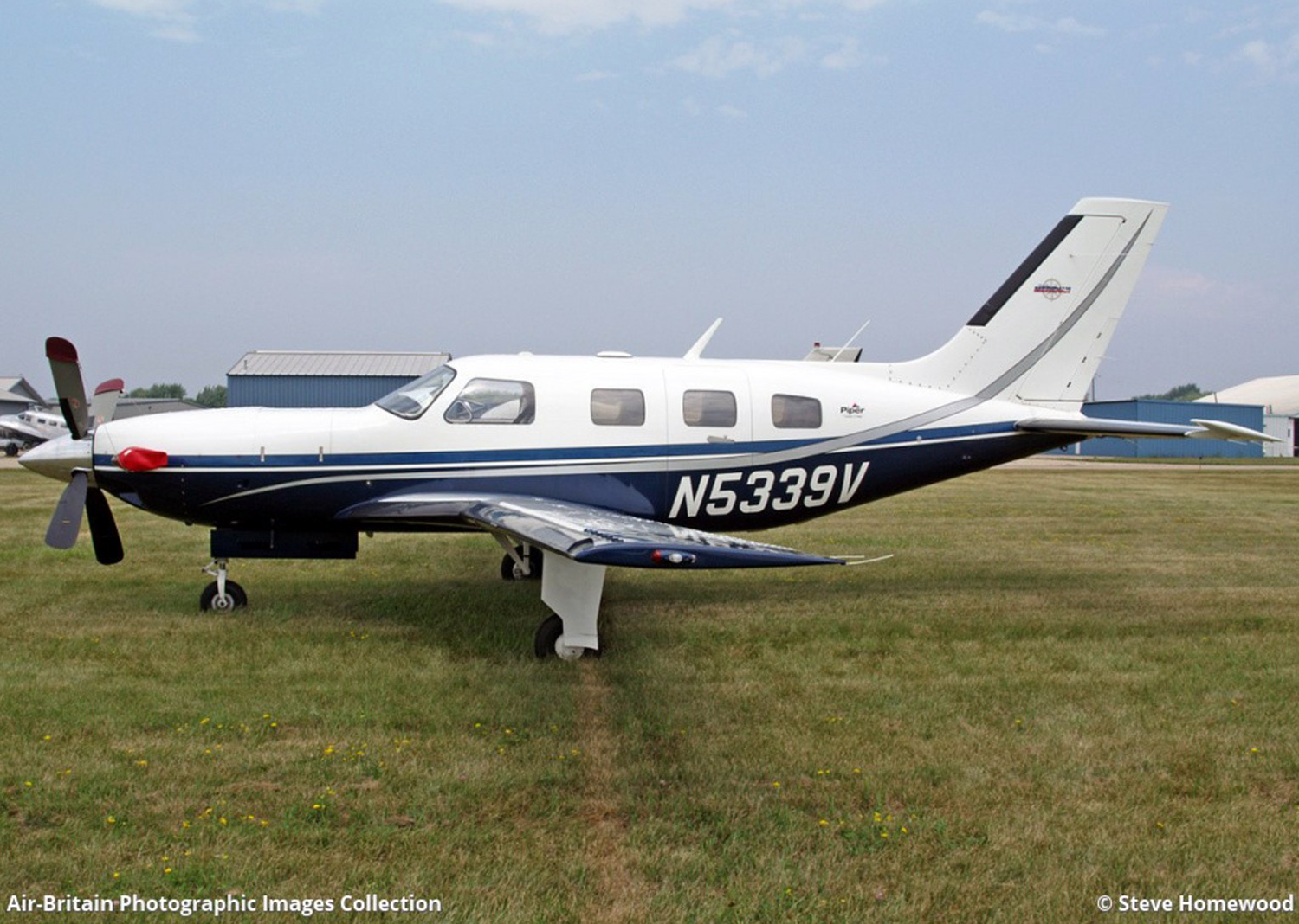
Registration:
YR-LRA
Survivors:
Yes
Schedule:
Balota - Balota
MSN:
1G195-09
YOM:
1982
Crew on board:
2
Crew fatalities:
Pax on board:
1
Pax fatalities:
Other fatalities:
Total fatalities:
0
Captain / Total hours on type:
6060.00
Aircraft flight hours:
6598
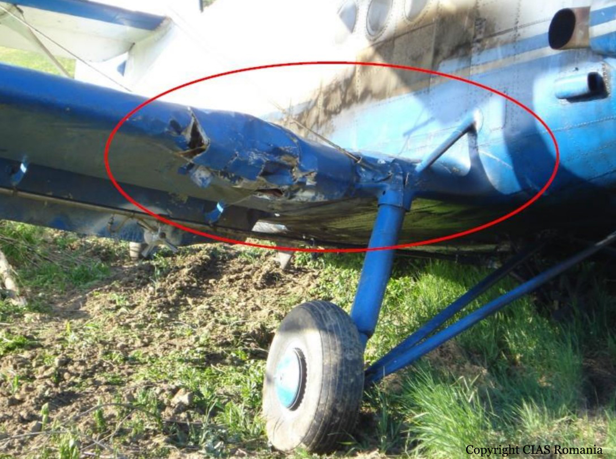
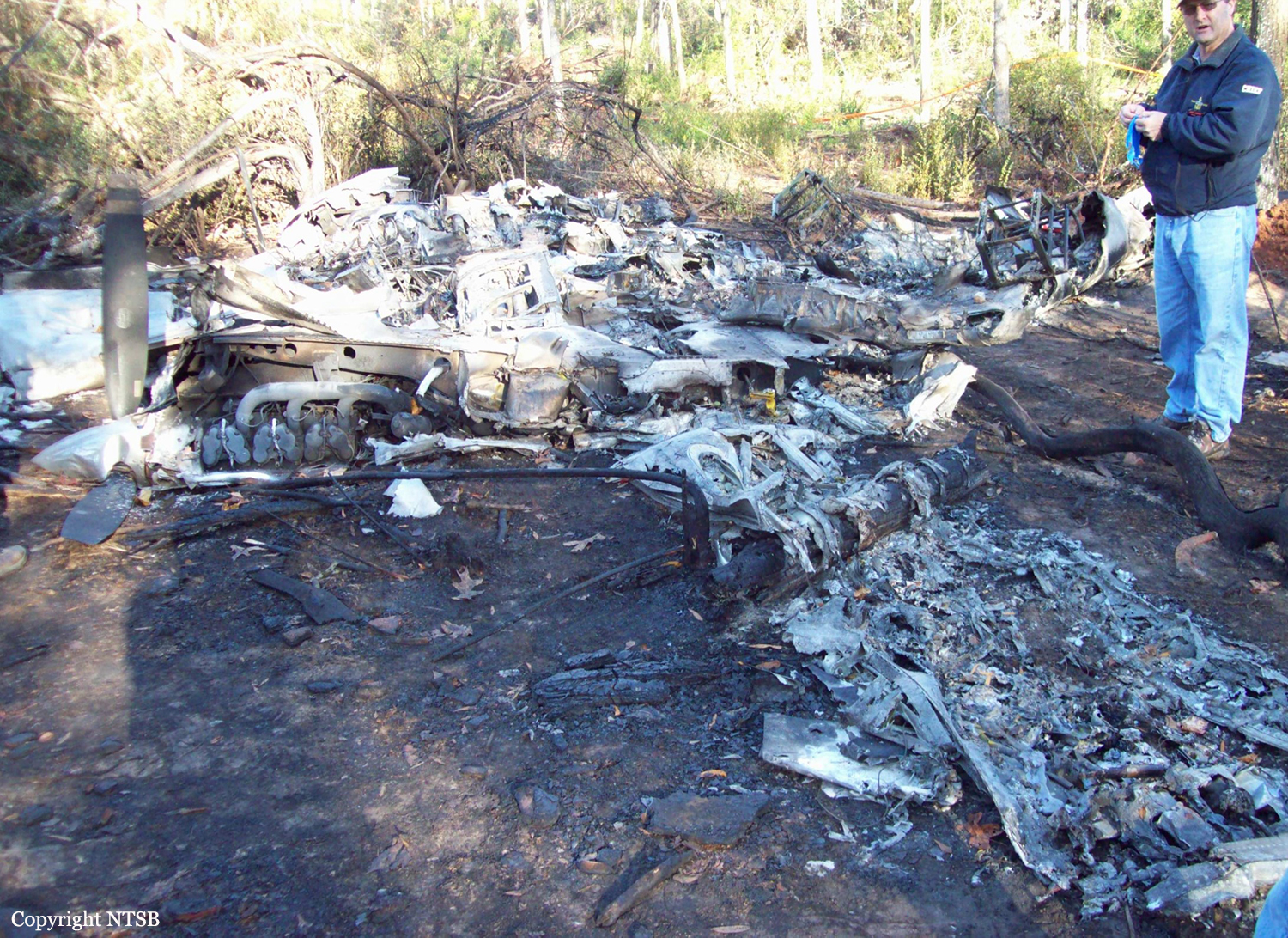
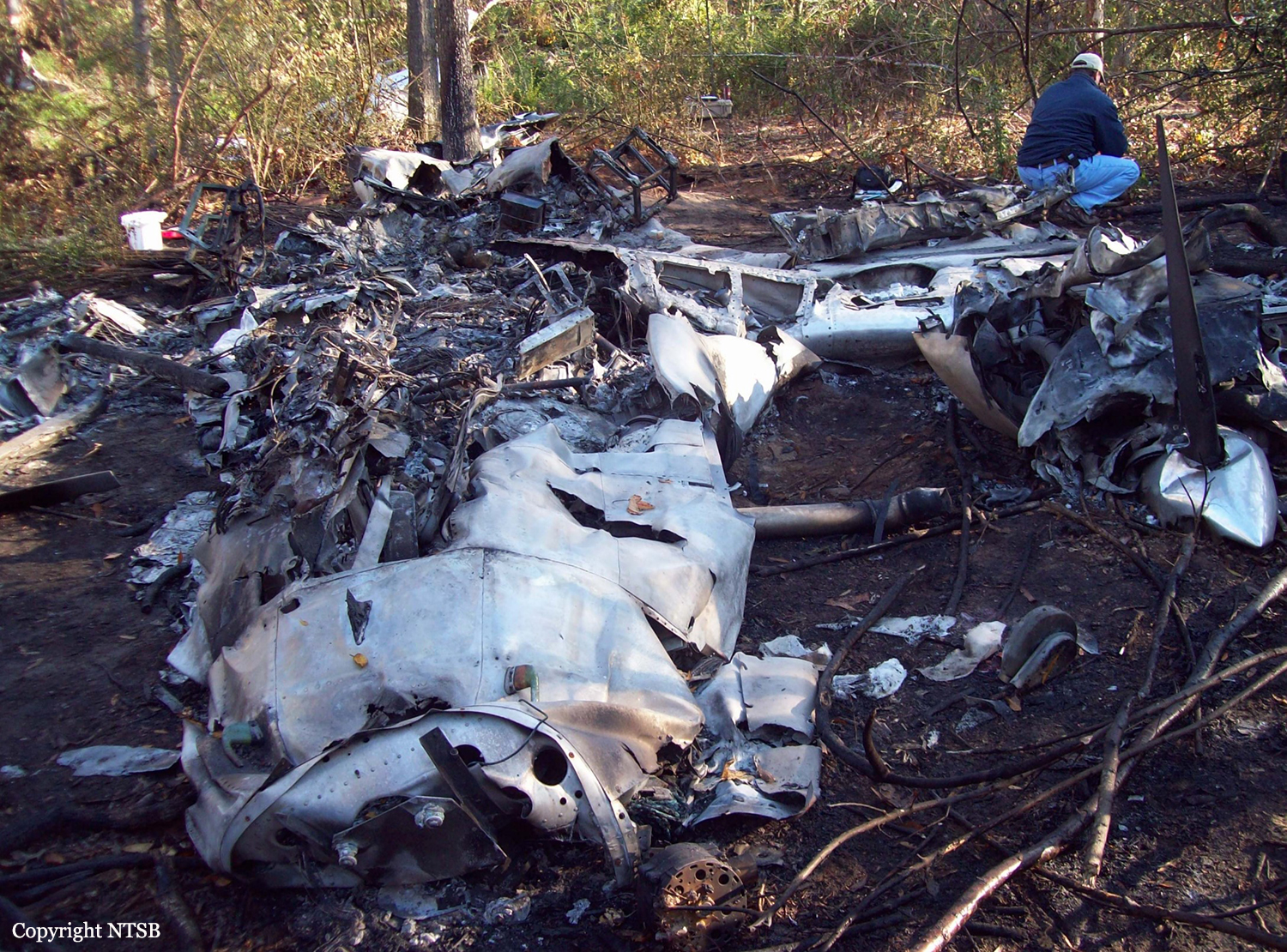
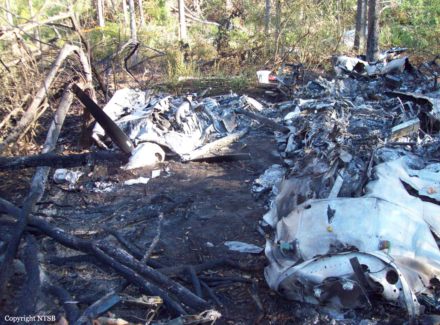
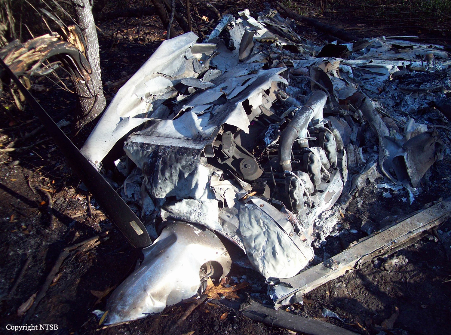
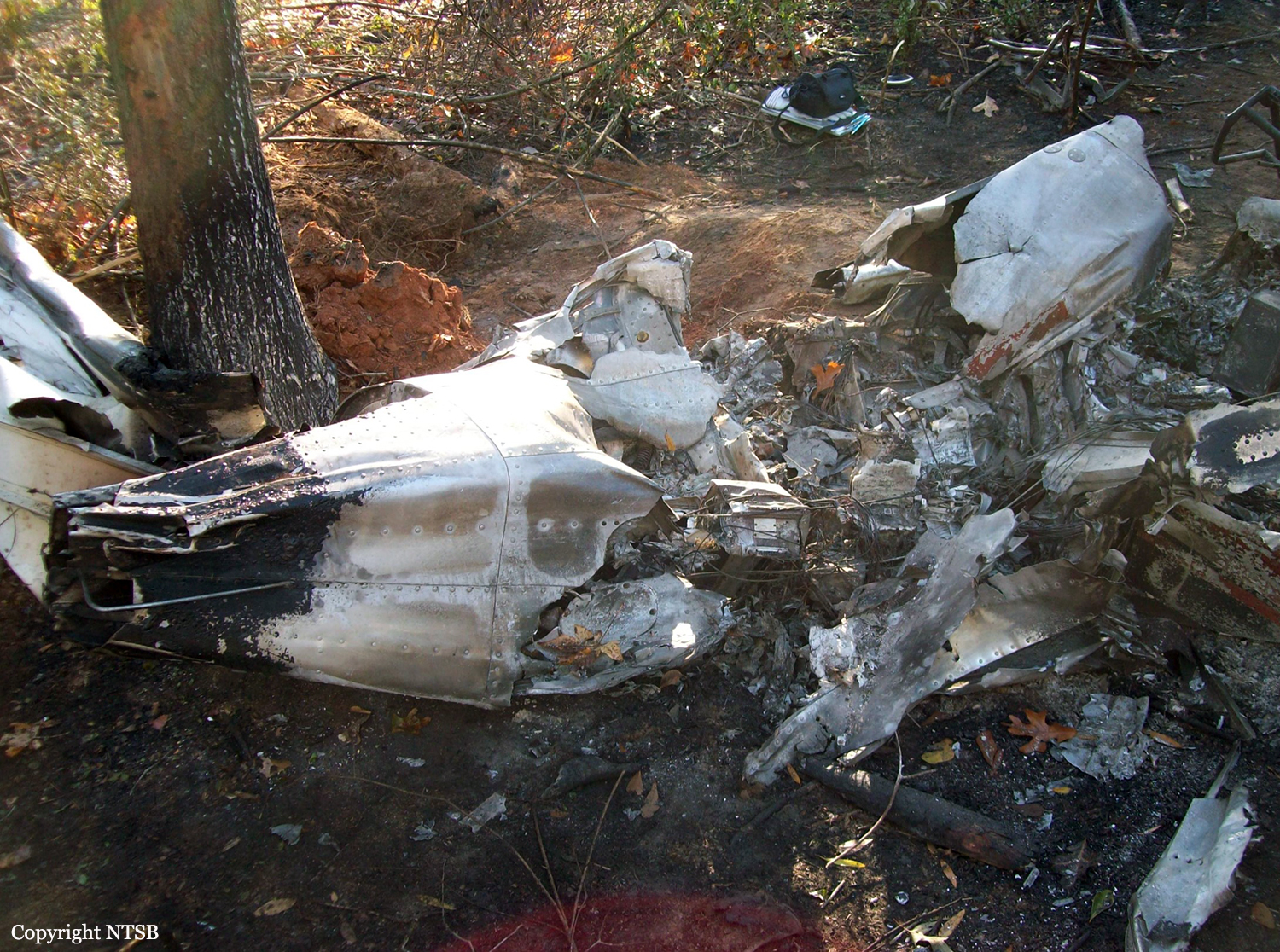
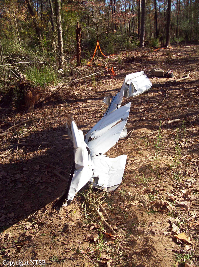
Circumstances:
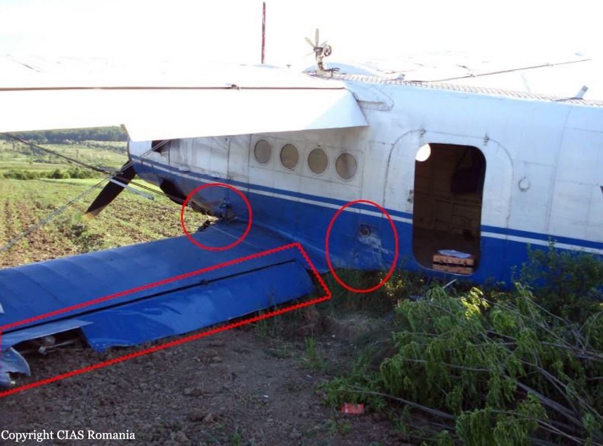
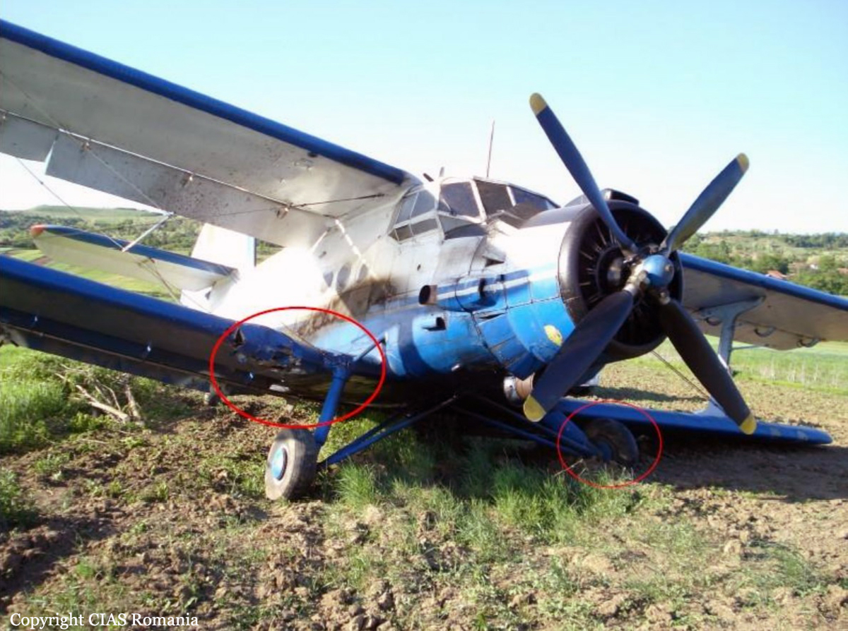
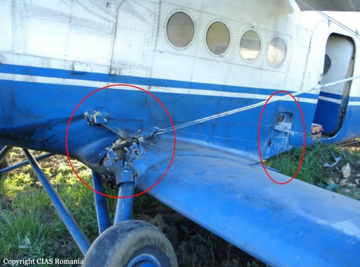
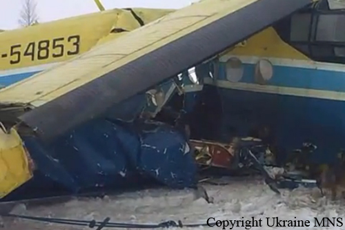
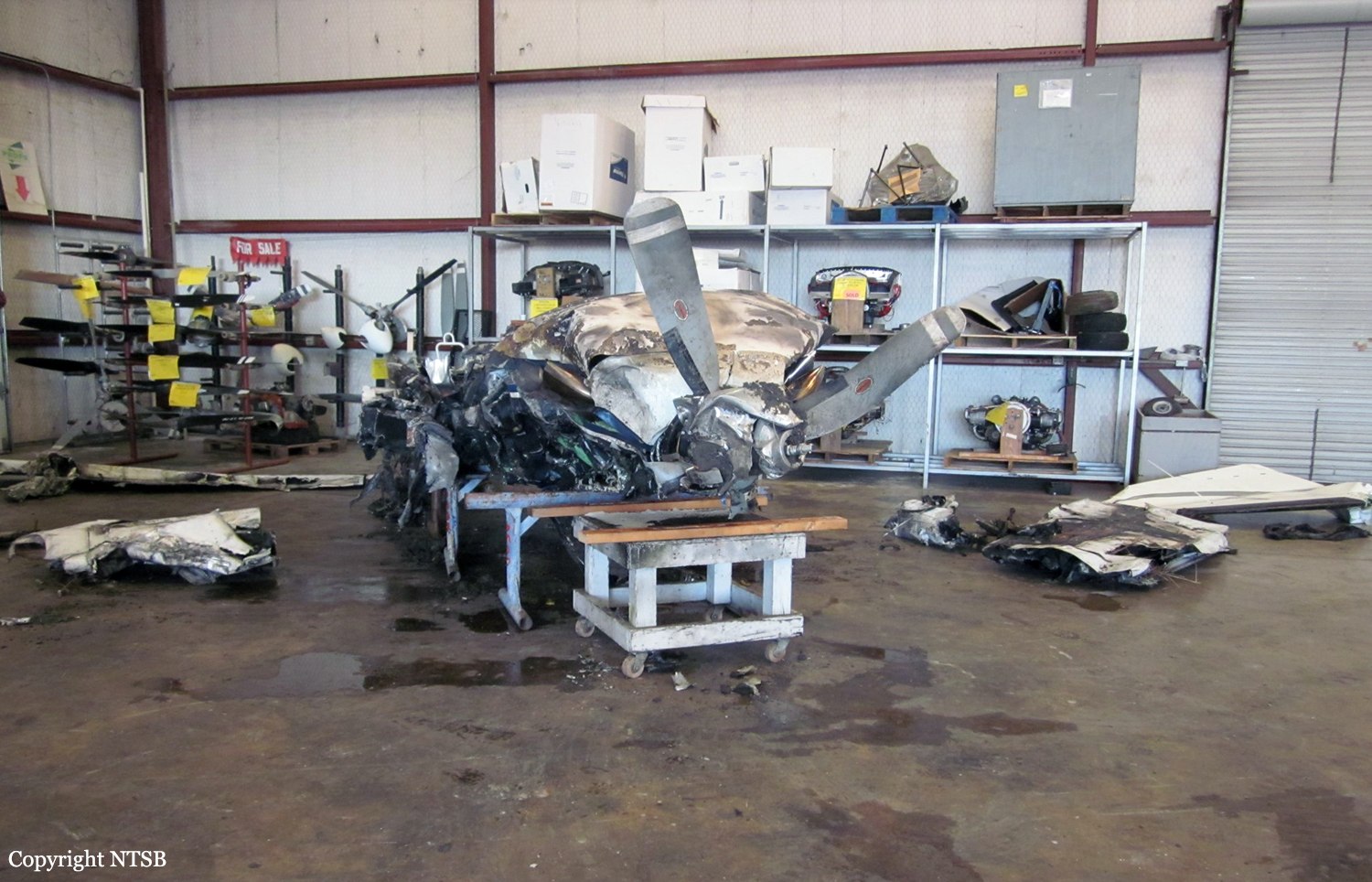
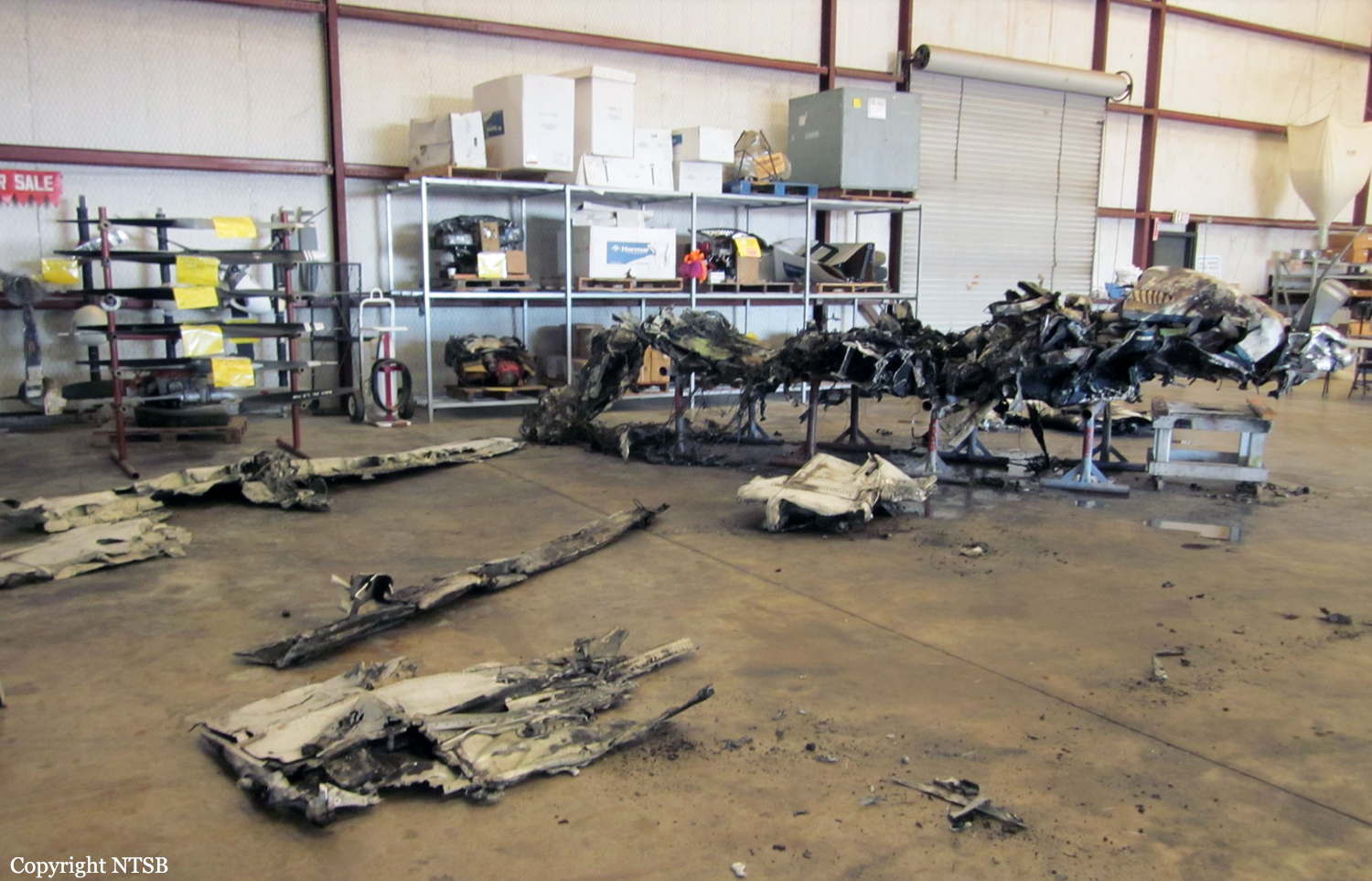
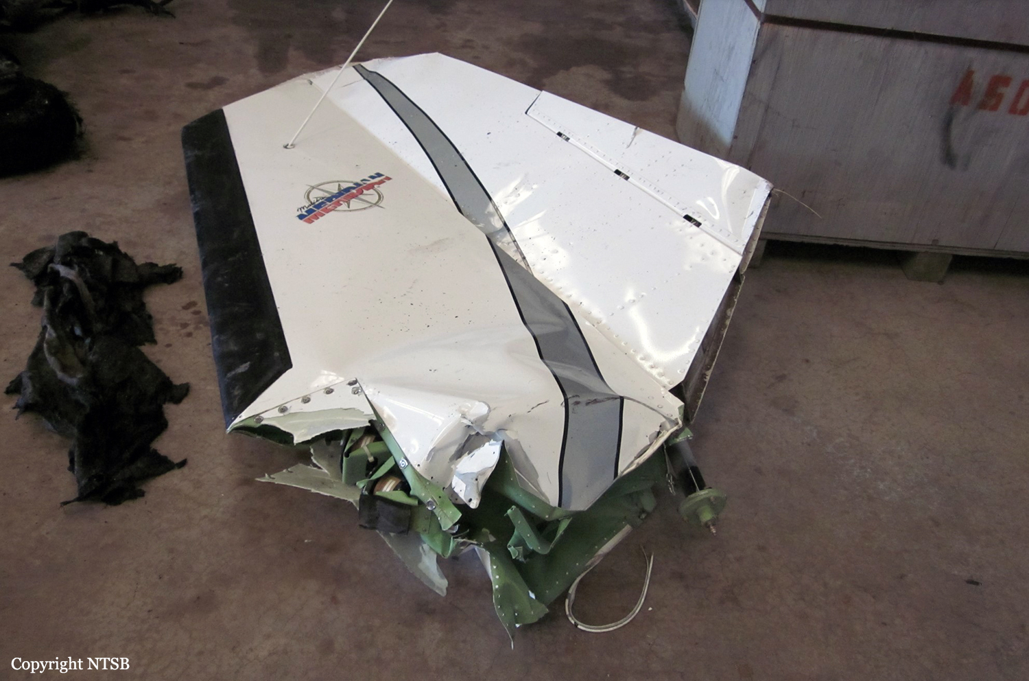
The single engine aircraft departed Balota (Drobeta) Aerodrome at 0930LT on a spraying mission over wooded area on behalf of the Department of Forestry, carrying one passenger and two pilots. About 50 minutes into the flight, after it completed several low passes over the area to be treated, the engine lost power. The crew decided to return to Balota Aerodrome and completed a 180 turn when the engine stopped. The crew attempted an emergency landing in an open field. After landing, the aircraft rolled for about 130 metres when the left main gear collapsed and the airplane came to rest. All three occupants escaped uninjured and the aircraft was damaged beyond repair.
Probable cause:
Engine failure in flight due to fuel exhaustion. The following contributing factors were identified:
- Poor flight preparation on part of the crew who did not follow the pre-takeoff checklist,
- The checklist document was printed in an inappropriate format for the purpose for which it was intended,
- The aircraft was damaged beyond repair due to the nature of the terrain where the emergency landing occurred.
Final Report: