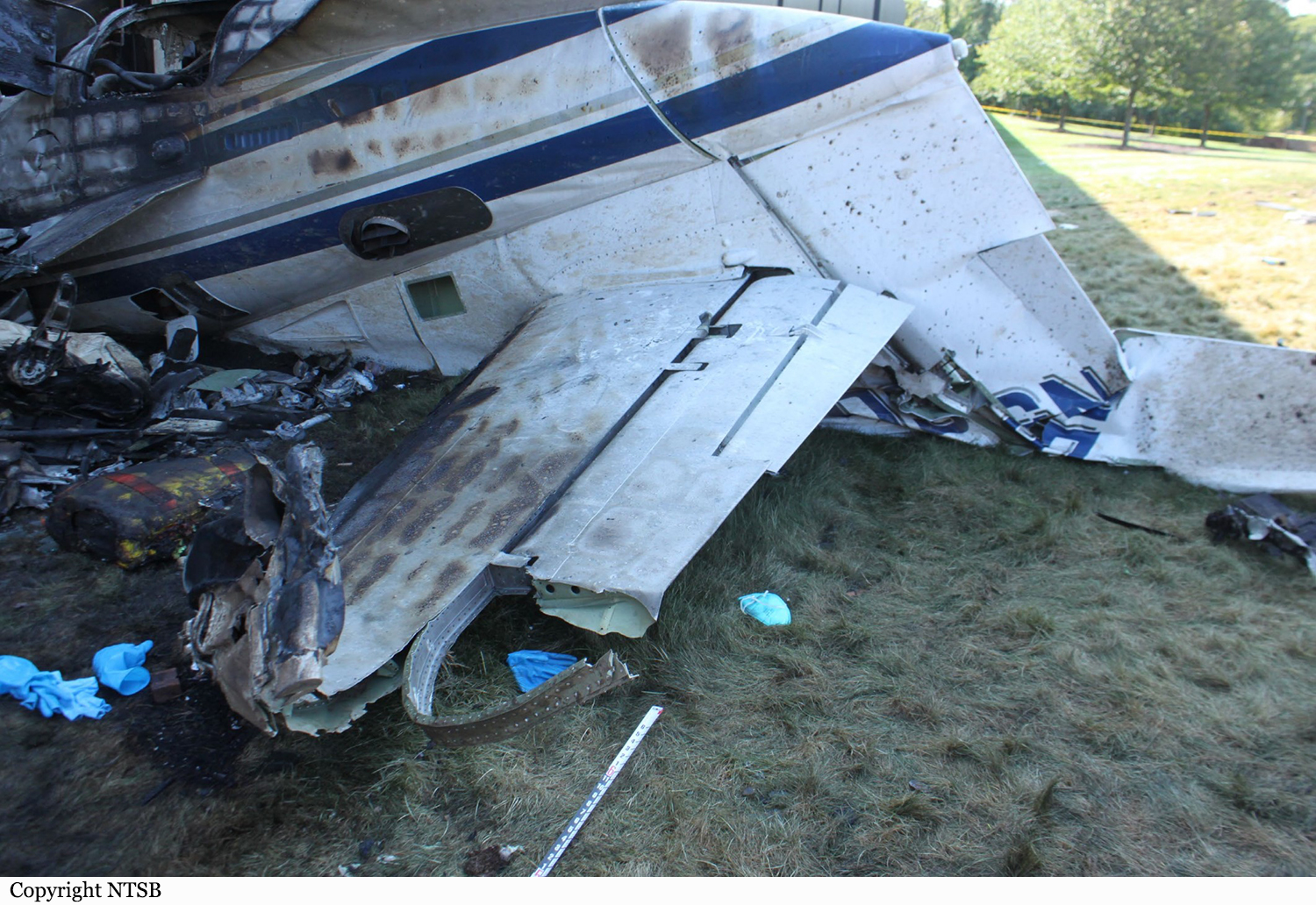
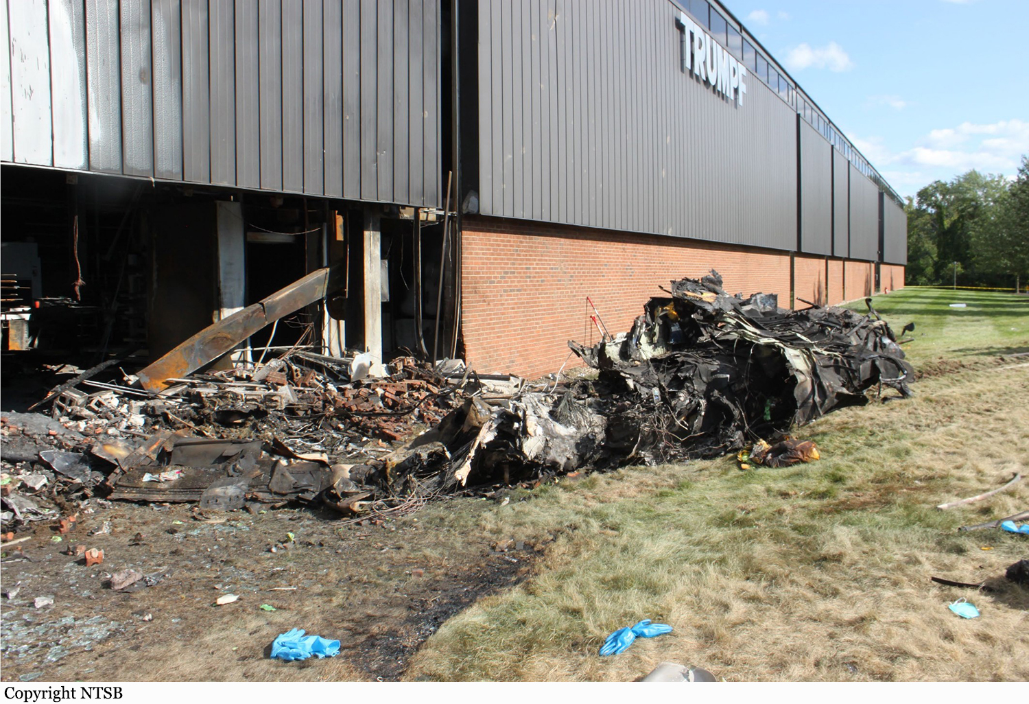
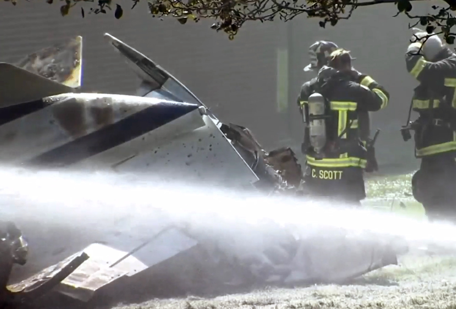
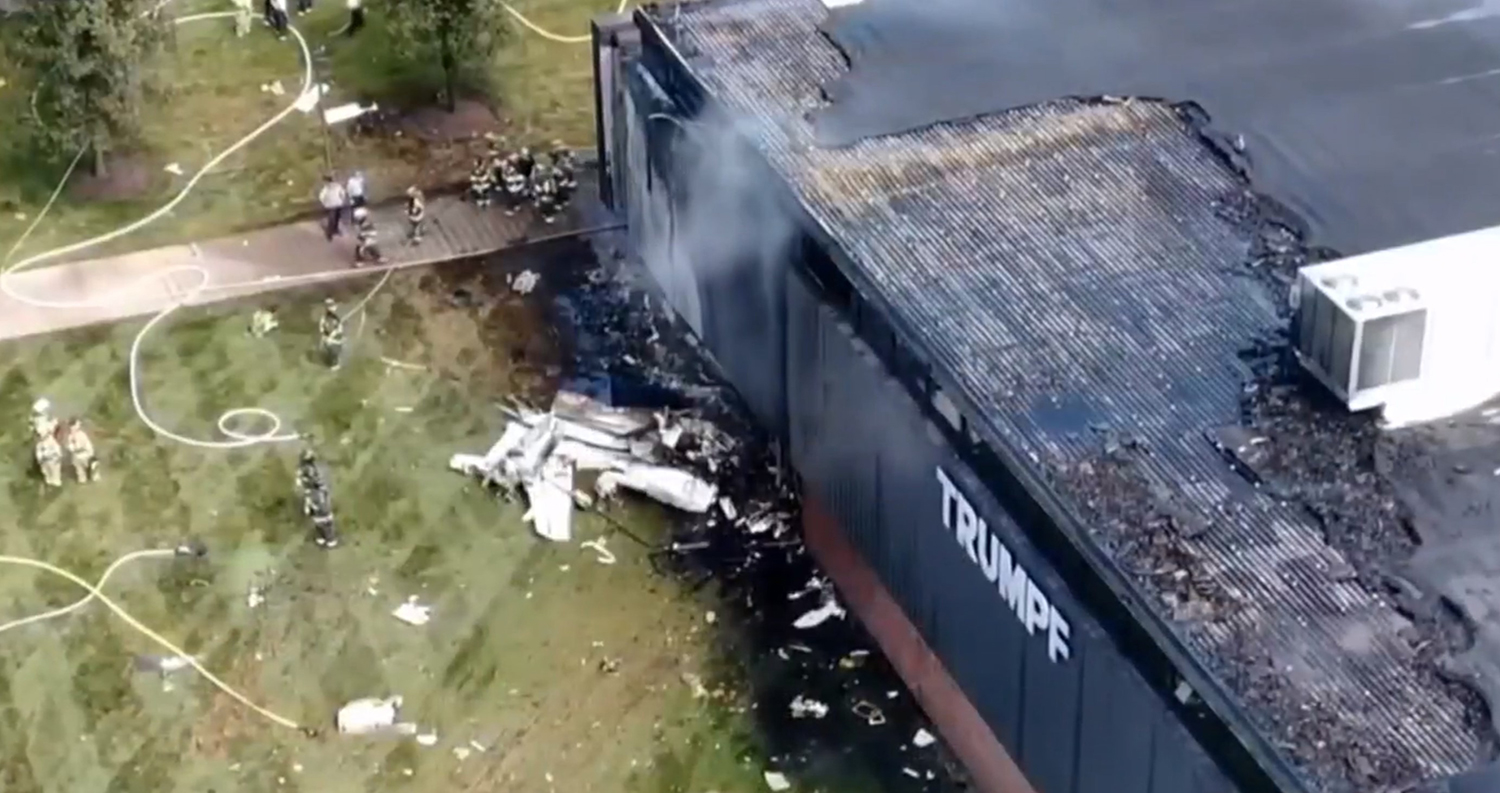
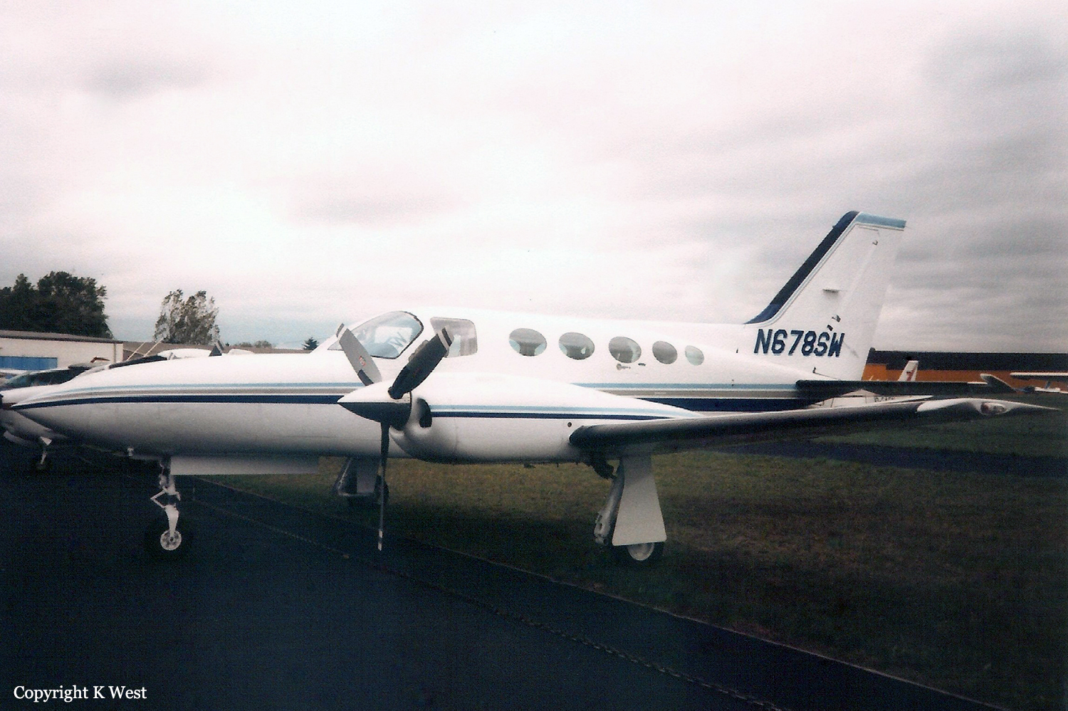
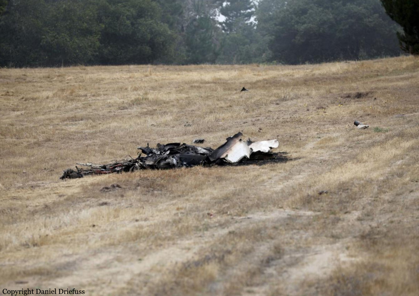
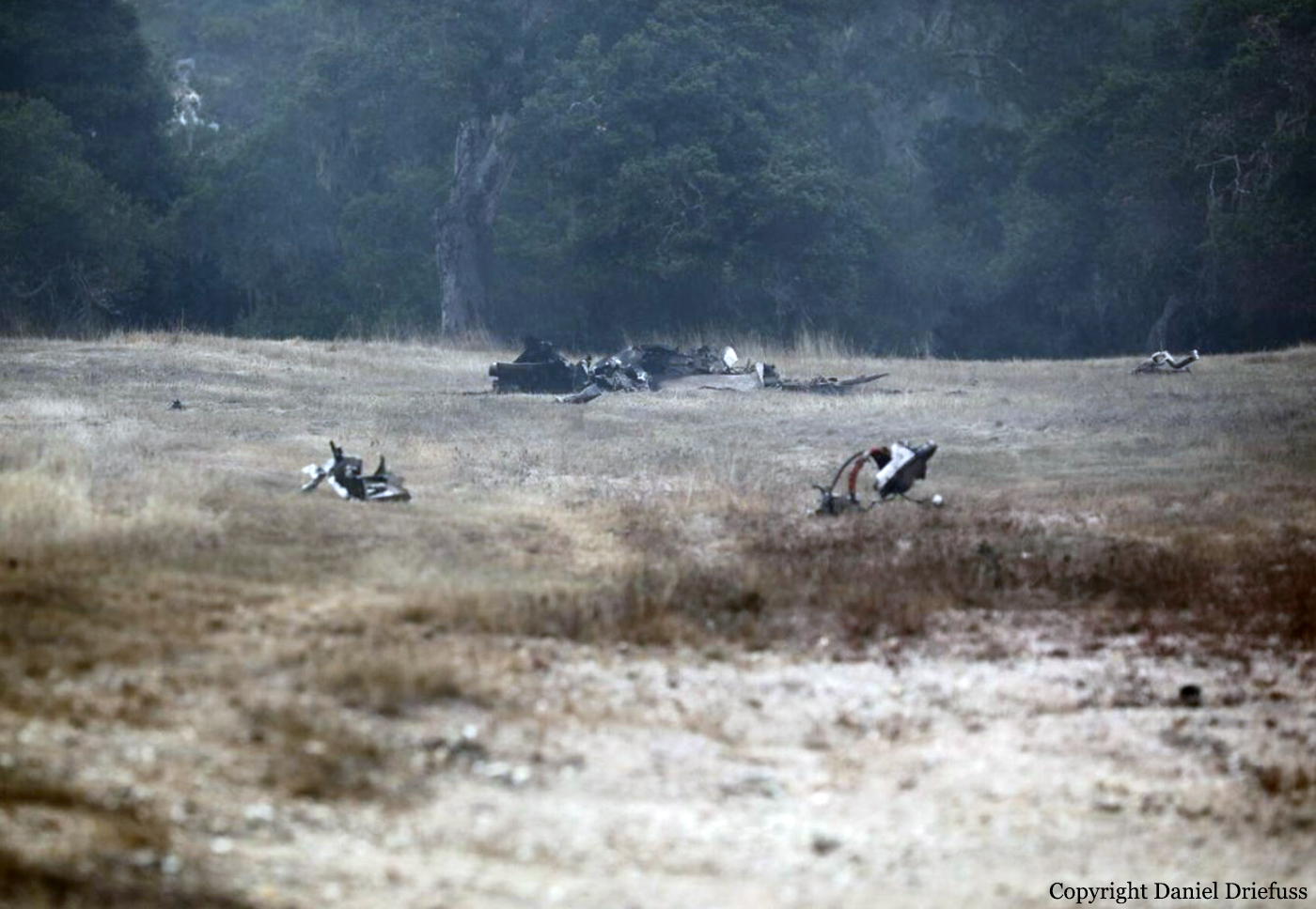
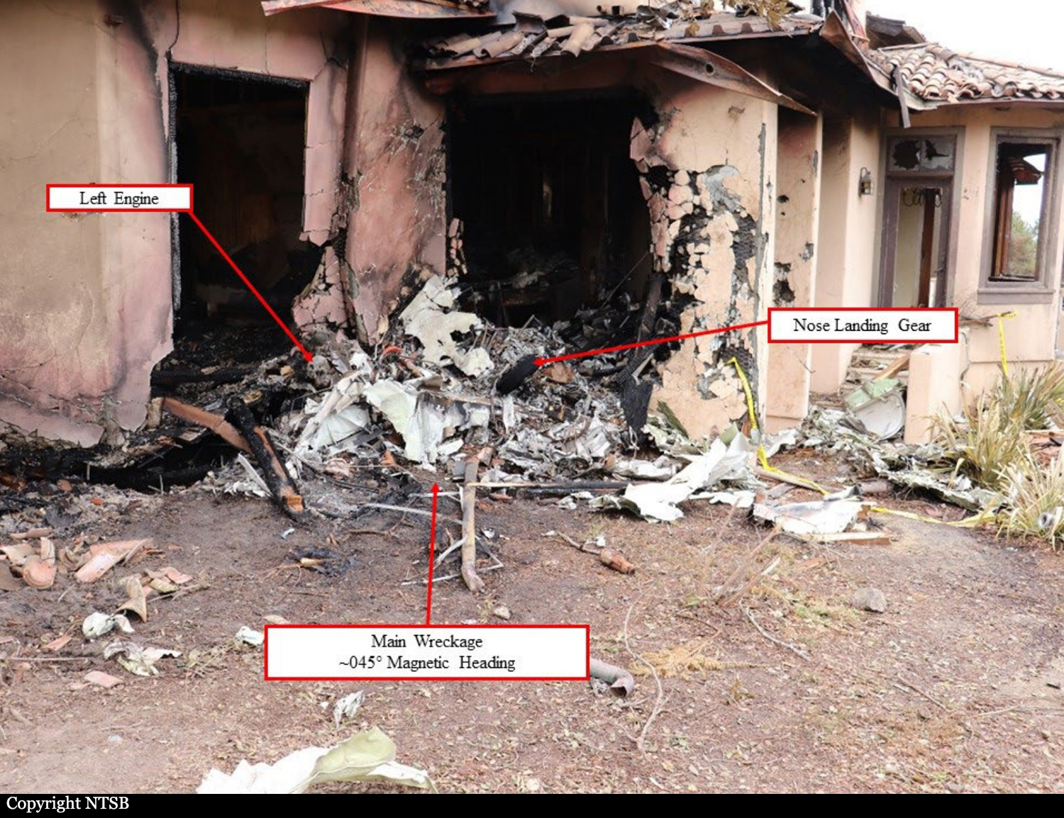
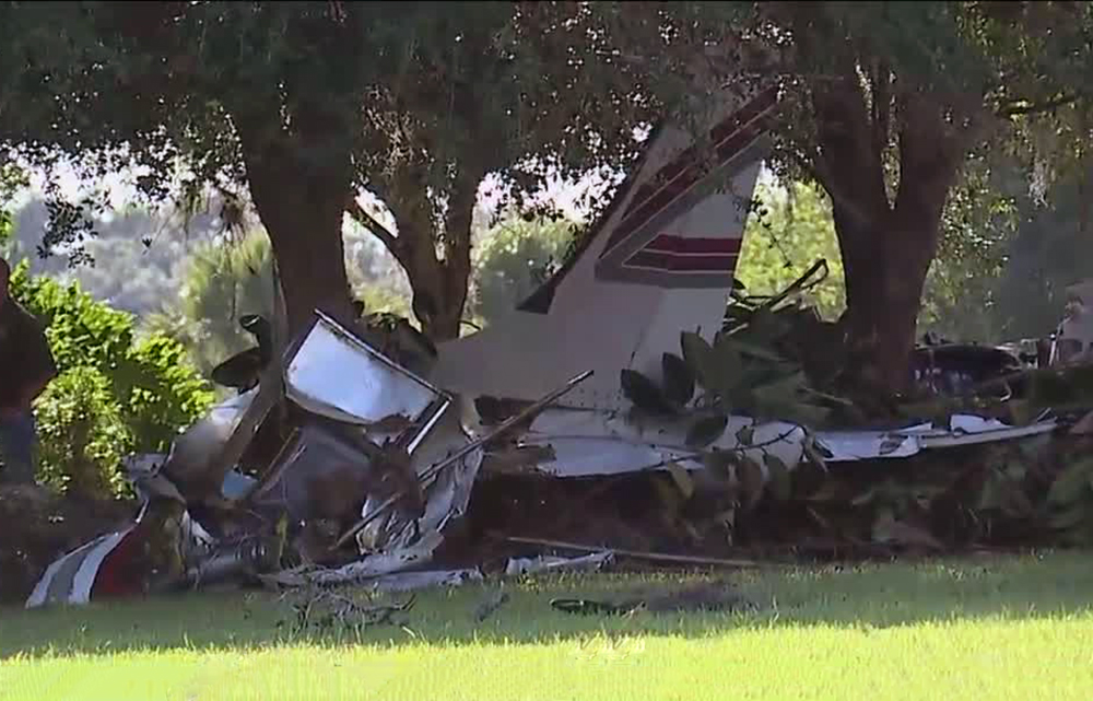
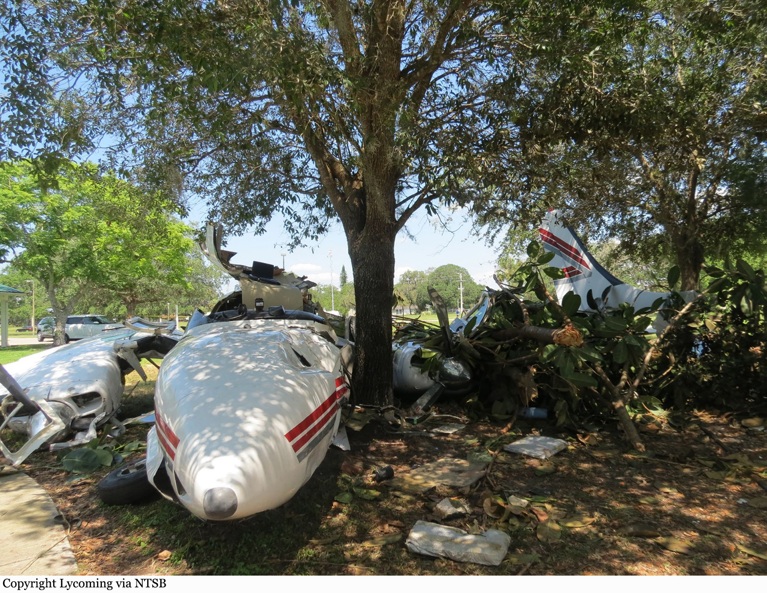
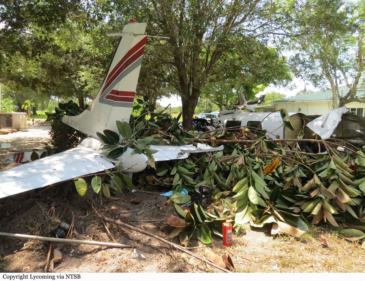
Crash of a Mitsubishi MU-2B-60 Marquise in Hattiesburg: 4 killed

Date & Time: May 4, 2021 at 2301 LT
Type of aircraft:
Operator:
Registration:
N322TA
Flight Type:
Survivors:
No
Site:
Schedule:
Wichita Falls – Hattiesburg
MSN:
760
YOM:
1980
Crew on board:
1
Crew fatalities:
Pax on board:
2
Pax fatalities:
Other fatalities:
Total fatalities:
4
Captain / Total flying hours:
7834
Captain / Total hours on type:
500.00
Aircraft flight hours:
7610
Circumstances:
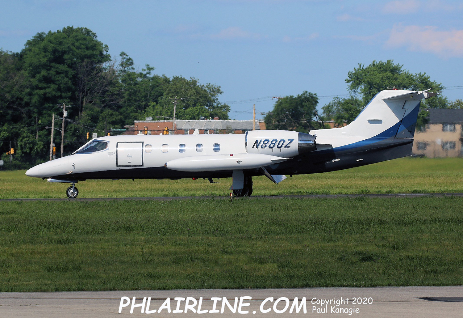
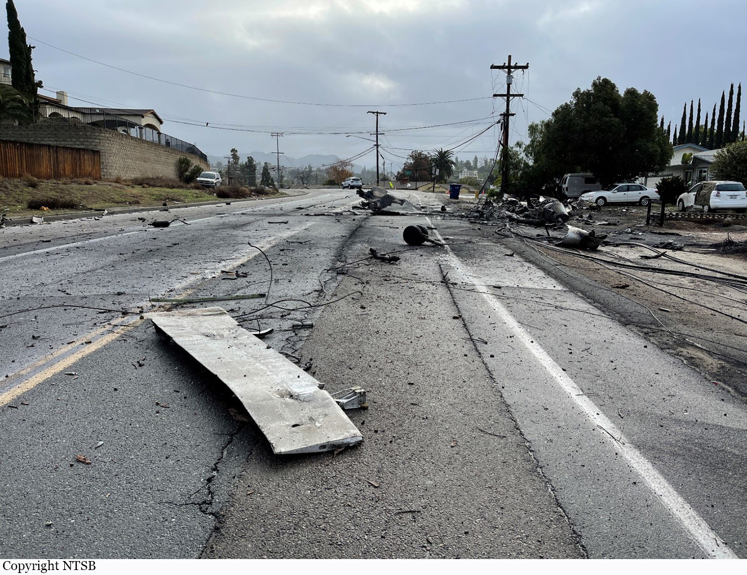
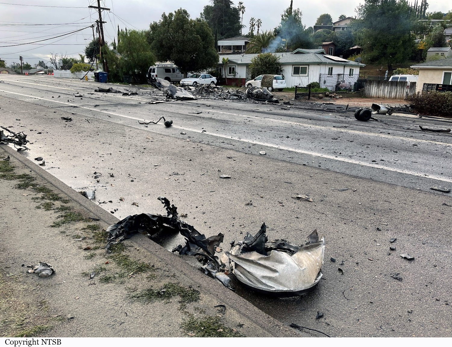
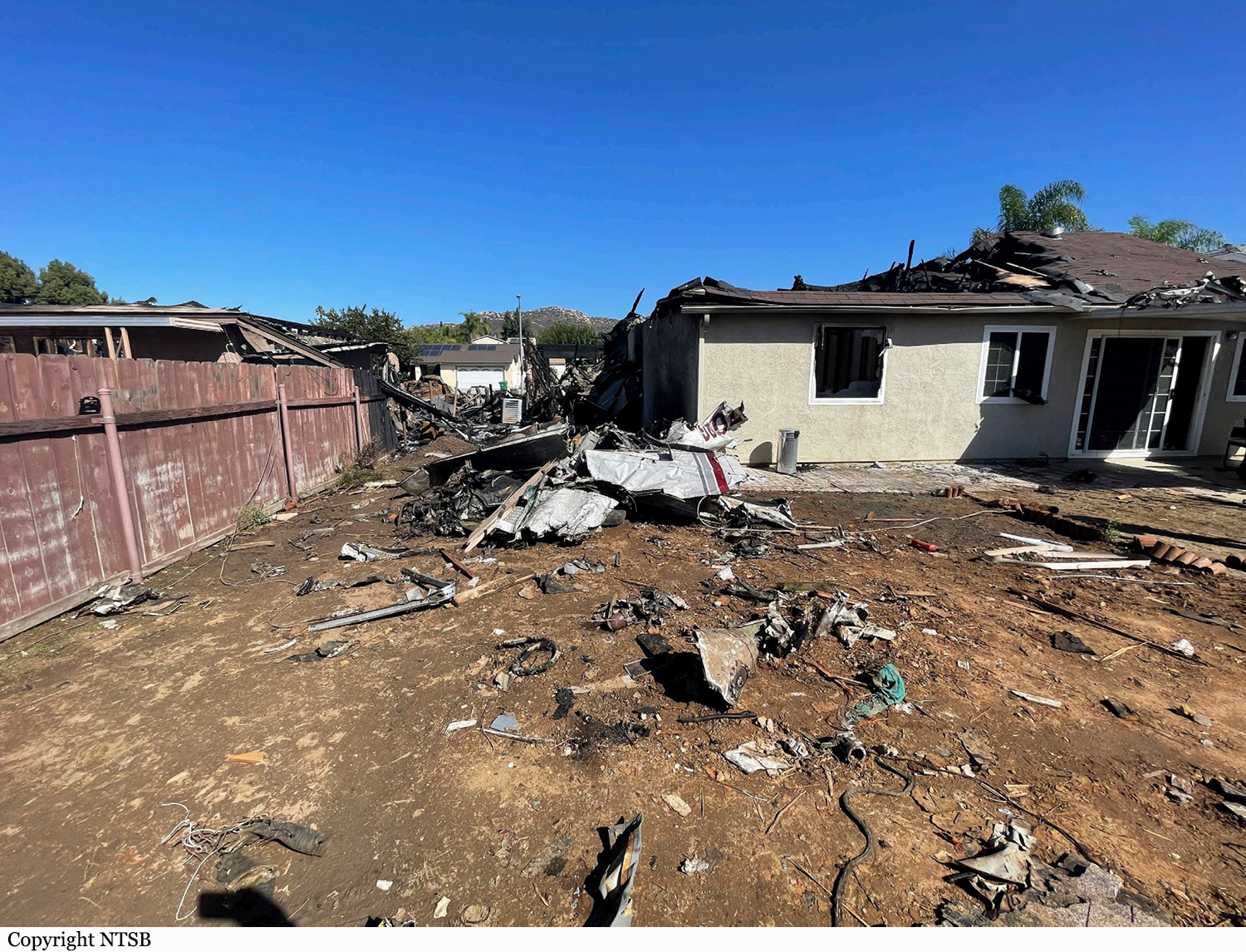
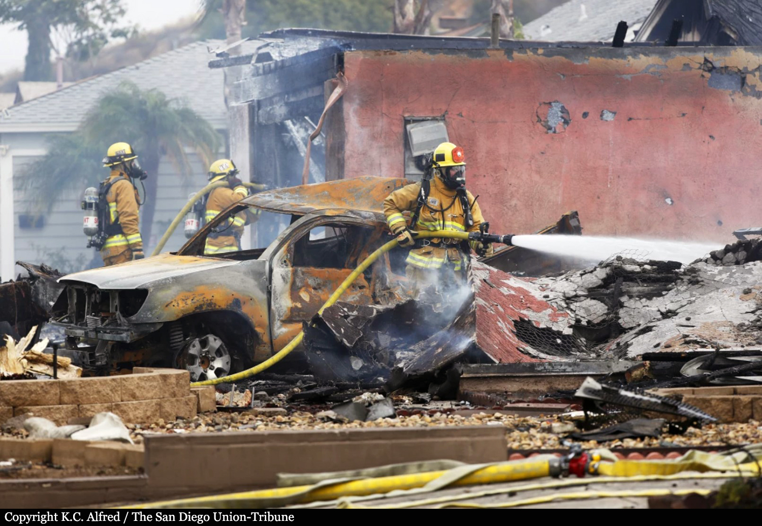
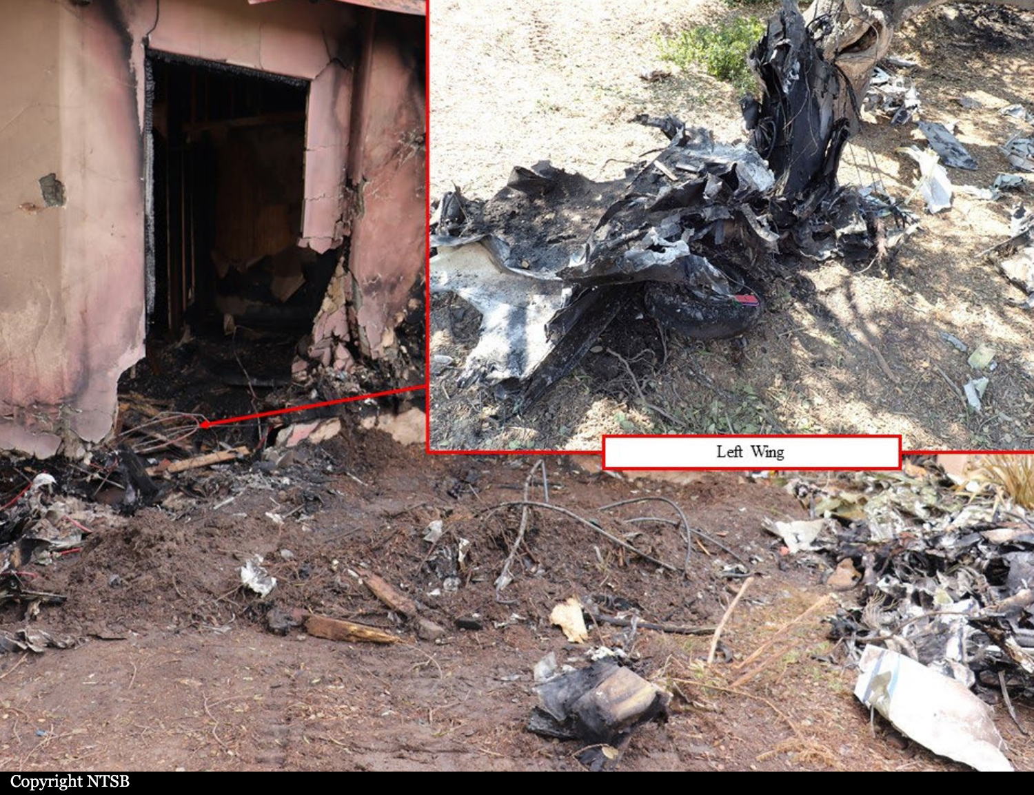
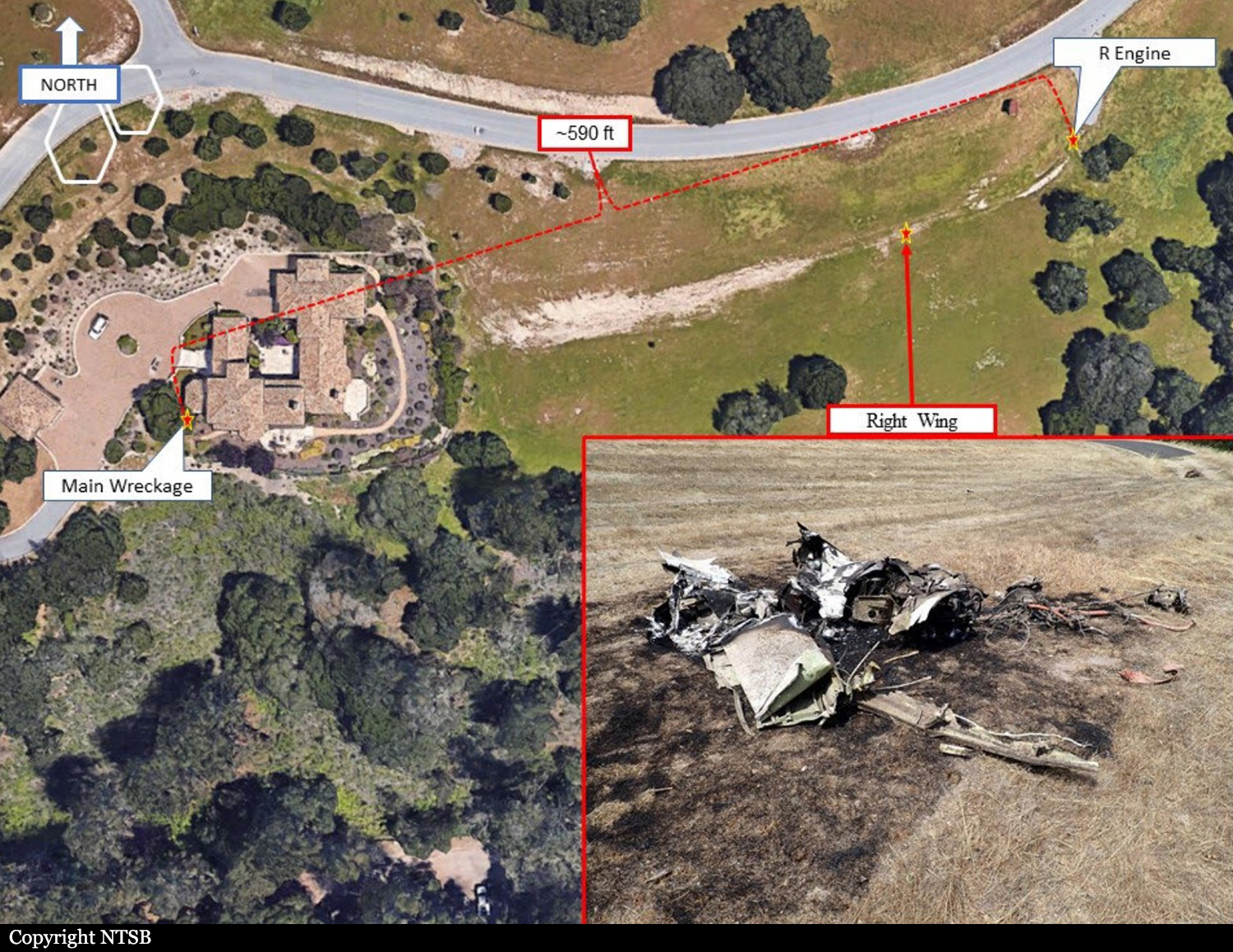
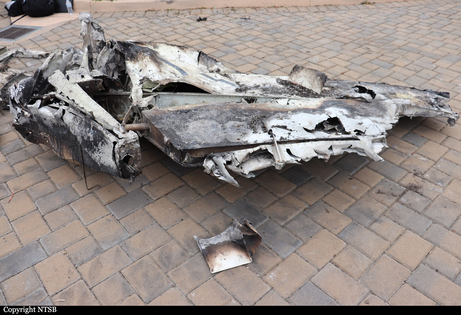
The pilot was flying a non precision approach in instrument meteorological conditions at night. While flying the procedure turn for the approach, the airplane’s speed decayed toward the stall speed before the airplane accelerated back to the standard approach speed. During the descent from the final approach fix, the airplane’s descent stopped for about 30 seconds and then the airplane descended at a rate of about 1,300 ft per minute. The airplane decelerated and continued to descend until the airspeed was about 85 knots (about 7 knots above the calculated stall speed for flaps 20°) and the altitude was 500 ft mean sea level. The last recorded data point showed the airplane about 460 ft mean sea level and 750 ft from the accident site. The airplane impacted a private residence, and a postcrash fire ensued and destroyed the airplane. Impact signatures were consistent with a low-energy impact. Examination of the airframe and engines did not detect any preimpact anomalies that would have precluded normal operations. Signatures on the engines and propellers were consistent with both engines providing power at impact. A review of the pilot’s toxicological information found that the level of eszopiclone in his specimens was subtherapeutic and thus not likely a factor in the accident. The circumstances of the accident are consistent with an inadvertent aerodynamic stall from which the pilot was unable to recover.
Probable cause:
The pilot’s failure to maintain control of the airplane during the night instrument approach which resulted in an inadvertent aerodynamic stall from which the pilot was unable to recover.
Final Report:

Crash of a Beechcraft 350ER Super King Air in Ji'an: 5 killed

Date & Time: Mar 1, 2021 at 1519 LT
Registration:
B-10GD
Flight Phase:
Survivors:
No
Site:
Schedule:
Ganzhou - Ganzhou
MSN:
FL-1014
YOM:
2015
Location:
Country:
Region:
Crew on board:
2
Crew fatalities:
Pax on board:
3
Pax fatalities:
Other fatalities:
Total fatalities:
5
Aircraft flight hours:
672
Aircraft flight cycles:
398
Circumstances:
The twin engine aircraft departed Ganzhou Airport at 1440LT on a cloud seeding mission over the Jiangxi Region. While flying in clouds, the aircraft entered an uncontrolled descent, entered a spin and eventually crashed in a residential area. All five occupants were killed and one people on the ground was slightly injured.
Probable cause:
Loss of control due to icing conditions. It was determined that the aircraft was flying in icy conditions for a long period of time during an artificial rainfall operation and the wings and propellers became seriously iced up. The aircraft was unable to effectively control the risk of icing, which resulted in the aircraft losing speed and entering a spin, eventually crashing to the ground and catching fire. Based on the casualties and damage to the aircraft, the incident constituted a major general aviation accident of aircraft crew origin. The investigation also found that the aircraft had been modified in such a way that the relevant data was not available and that the crew did not handle the spin properly.
Final Report:
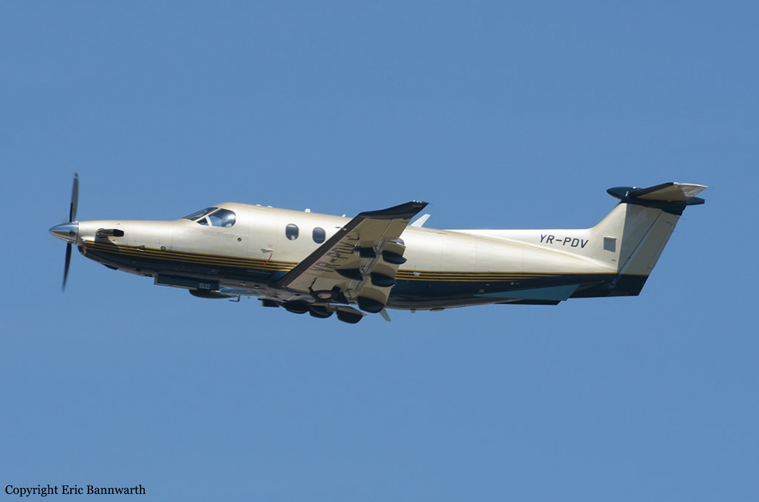
Crash of a Quest Kodiak 100 in Guatemala City: 1 killed

Date & Time: Nov 8, 2020
Type of aircraft:
Operator:
Registration:
TG-SMT
Flight Phase:
Flight Type:
Survivors:
No
Site:
Schedule:
Guatemala City – Cobán
MSN:
100-0080
YOM:
2012
Country:
Crew on board:
1
Crew fatalities:
Pax on board:
0
Pax fatalities:
Other fatalities:
Total fatalities:
1
Circumstances:
The pilot, sole on board, was completing a cargo flight to Cobán. After takeoff from Guatemala City-La Aurora runway 02, while in initial climb, the pilot lost control of the airplane that crashed in trees located in a garden along the 4th Avenue, in the Zone 9 district, approximately 980 metres from the end of runway 02. The aircraft was destroyed by impact forces and a post crash fire and the pilot was killed.

Crash of a Rockwell 500S Shrike Commander in Pembroke Park: 2 killed

Date & Time: Aug 28, 2020 at 0902 LT
Operator:
Registration:
N900DT
Flight Phase:
Flight Type:
Survivors:
No
Site:
Schedule:
Pompano Beach – Opa Locka
MSN:
500-3056
YOM:
1969
Crew on board:
2
Crew fatalities:
Pax on board:
0
Pax fatalities:
Other fatalities:
Total fatalities:
2
Captain / Total flying hours:
27780
Captain / Total hours on type:
300.00
Copilot / Total flying hours:
8029
Aircraft flight hours:
10300
Circumstances:
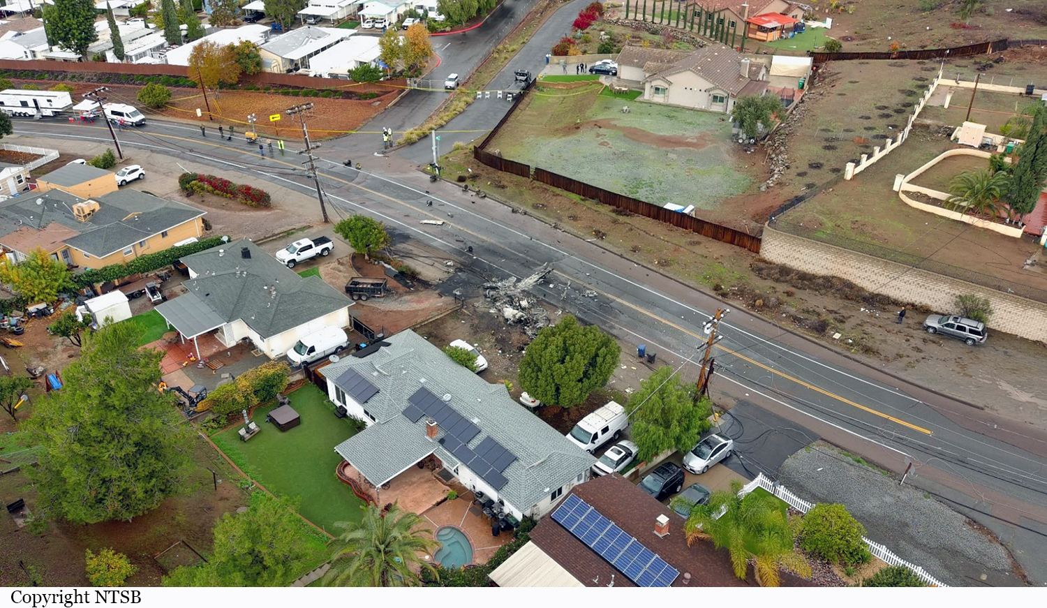
The pilot-in-command seated in the right seat was providing familiarization in the multiengine airplane to the left seat pilot during a flight to a nearby airport for fuel. Shortly after takeoff, one of the pilots reported an engine problem and advised that they were diverting to a nearby airport. A witness along the route of flight reported hearing the engines accelerating and decelerating and then popping sounds; several witnesses near the accident site reported hearing no engine sounds. The airplane impacted a building and terrain about 10 minutes after takeoff. Very minimal fuel leakage on the ground was noted and only 23 ounces of aviation fuel were collected from the airplane’s five fuel tanks. No evidence of preimpact failure or malfunction was noted for either engine or propeller; the damage to both propellers was consistent with low-to-no power at impact. Since the pilot could not have visually verified the fuel level in the center fuel tank because of the low quantity of fuel prior to the flight, he would have had to rely on fuel consumption calculations since fueling based on flight time and the airplane’s fuel quantity indicating system. Although the fuel quantity indications at engine start and impact could not be determined postaccident from the available evidence, if the fuel quantity reading at the start of the flight was accurate based on the amount of fuel required for engine start, taxi, run-up, takeoff, and then only to fly the accident flight duration of 10 minutes, it would have been reading between 8 and 10 gallons. It is unlikely that the pilot, who was a chief pilot of a cargo operation and tasked with familiarizing company pilots in the airplane, would have knowingly initiated the flight with an insufficient fuel load for the intended flight or with the fuel gauge accurately registering the actual fuel load that was on-board. Examination of the tank unit, or fuel quantity transmitter, revealed that the resistance between pins A and B, which were the ends of the resistor element inside the housing, fell within specification. When monitoring the potentiometer pin C, there was no resistance, indicating an open circuit between the wiper and the resistor element. X-ray imaging revealed that the conductor of electrical wire was fractured between the end of the lugs at the wiper and for pin C. Bypassing the fractured conductor, the resistive readings followed the position of the float arm consistent with normal operation. Visual examination of the wire insulation revealed no evidence of shorting, burning or damage. Examination of the fractured electrical conductor by the NTSB Materials Laboratory revealed that many of the individual wires exhibited intergranular fracture surface features with fatigue striations in various directions on some individual grains. It is likely that the many fatigue fractured conductor strands of the electrical wire inside the accident tank unit or fuel transmitter resulted in the fuel gauge indicating that the tanks contained more fuel than the amount that was actually on board, which resulted in inadequate fuel for the intended flight and a subsequent total loss of engine power due to fuel exhaustion. The inaccurate fuel indication would also be consistent with the pilot’s decision to decline additional fuel before departing on the accident flight. While the estimated fuel remaining since fueling (between 15 and 51 gallons) was substantially more than the actual amount on board at the start of the accident flight (between 8 and 10 gallons), the difference could have been caused by either not allowing the fuel to settle during fueling, and/or the operational use of the airplane. Ultimately, the fuel supply was likely completely exhausted during the flight, which resulted in the subsequent loss of power to both engines. Given the circumstances of the accident, the effects from the right seat pilot’s use of cetirizine and the identified ethanol in the left seat pilot, which was likely from sources other than ingestion, did not contribute to this accident.
Probable cause:
A total loss of engine power due to fuel exhaustion. Contributing to the fuel exhaustion was the fatigue fracture of an electrical wire in the tank unit or fuel transmitter, which likely resulted in an inaccurate fuel quantity indication.
Final Report:
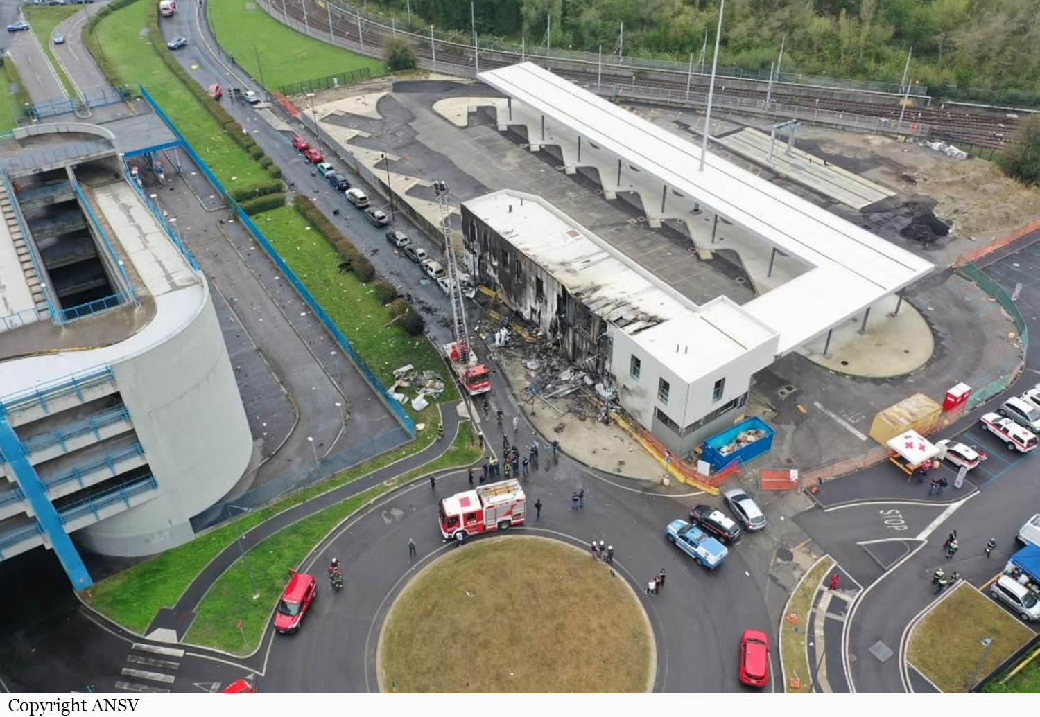
Crash of an Airbus A320-214 in Karachi: 98 killed

Date & Time: May 22, 2020 at 1439 LT
Type of aircraft:
Operator:
Registration:
AP-BLD
Survivors:
Yes
Site:
Schedule:
Lahore - Karachi
MSN:
2274
YOM:
2004
Flight number:
PK8303
Country:
Region:
Crew on board:
8
Crew fatalities:
Pax on board:
91
Pax fatalities:
Other fatalities:
Total fatalities:
98
Aircraft flight hours:
47124
Aircraft flight cycles:
25866
Circumstances:
On 22 May 2020 at 13:05 hrs PST, the Pakistan International Airlines aircraft Airbus A320-214, registration number AP-BLD, took off from Lahore (Allama Iqbal International Airport – AIIAP) Pakistan to perform a regular commercial passenger flight (PK8303) to Karachi (Jinnah International Airport – JIAP) Pakistan, with 8 crew members (01 Captain, 01 First Officer, and 06 flight attendants) and 91 passengers on board. At 14:35 hrs the aircraft performed an ILS approach for runway 25L and touched down without landing gears, resting on the engines. Both engines scrubbed the runway at high speed. Flight crew initiated a go-around and informed “Karachi Approach” that they intend to make a second approach. About four minutes later, during downwind leg, at an altitude of around 2000 ft, flight crew declared an emergency and stated that both engines had failed. The aircraft started losing altitude. It crashed in a populated area, short of runway 25L by about 1340 meters. An immediate subsequent post impact fire initiated. Out of 99 souls on-board, 97 were fatally injured and 02 passengers survived. On ground 04 persons were injured however 01 out of these reportedly expired later at a hospital.

Below, the preliminary report published by the Pakistan AAIB.
Final Report:
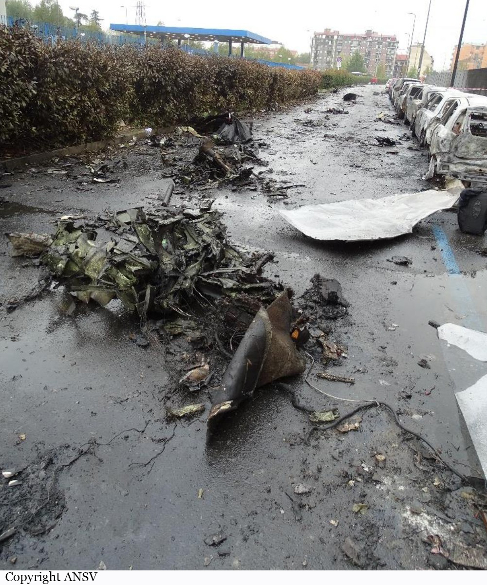
Crash of a Piper PA-61 Aerostar (Ted Smith 601P) in Springfield: 3 killed

Date & Time: Jan 28, 2020 at 1503 LT
Operator:
Registration:
N6071R
Flight Type:
Survivors:
No
Site:
Schedule:
Huntsville – Springfield
MSN:
61P-0686-7963324
YOM:
1979
Crew on board:
1
Crew fatalities:
Pax on board:
2
Pax fatalities:
Other fatalities:
Total fatalities:
3
Captain / Total flying hours:
5500
Aircraft flight hours:
3542
Circumstances:
The pilot was conducting an instrument landing system (ILS) approach in instrument meteorological conditions at the conclusion of a cross-country flight. The airplane had been cleared to land, but the tower controller canceled the landing clearance because the airplane appeared not to be established on the localizer as it approached the locator outer marker. The approach controller asked the pilot if he was having an issue with the airplane’s navigation indicator, and the pilot replied, “yup.” Rather than accept the controller’s suggestion to use approach surveillance radar (ASR) approach instead of the ILS approach, the pilot chose to fly the ILS approach again. The pilot was vectored again for the ILS approach, and the controller issued an approach clearance after he confirmed that the pilot was receiving localizer indications on the airplane’s navigation equipment. The airplane joined the localizer and proceeded toward the runway while descending. The pilot was instructed to contact the tower controller; shortly afterward, the airplane entered a left descending turn away from the localizer centerline. At that time, the airplane was about 3 nautical miles from the locator outer marker. The pilot then told the tower controller, “we’ve got a prob.” The tower controller told the pilot to climb and maintain 3,000 ft msl and to turn left to a heading of 180°. The pilot did not respond. During the final 5 seconds of recorded track data, the airplane’s descent rate increased rapidly from 1,500 to about 5,450 ft per minute. The airplane impacted terrain about 1 nm left of the localizer centerline in a left-wing-down and slightly nose down attitude at a groundspeed of about 90 knots. A postimpact fire ensued. Although the pilot was instrument rated, his recent instrument flight experience could not be determined with the available evidence for this investigation. Most of the fuselage, cockpit, and instrument panel was destroyed during the postimpact fire, but examination of the remaining wreckage revealed no anomalies. Acoustic analysis of audio sampled from doorbell security videos was consistent with the airplane's propellers rotating at a speed of 2,500 rpm before a sudden reduction in propeller speed to about 1,200 rpm about 2 seconds before impact. The airplane’s flightpath was consistent with the airplane’s avionics receiving a valid localizer signal during both instrument approaches. However, about 5 months before the accident, the pilot told the airplane’s current maintainer that the horizontal situation indicator (HSI) displayed erroneous heading indications. The maintainer reported that a replacement HSI was purchased and shipped directly to the pilot to be installed in the airplane; however, the available evidence for the investigation did not show whether the malfunctioning HSI was replaced before the flight. The HSI installed in the airplane at the time of the accident sustained significant thermal and fire damage, which prevented testing. During both ILS approaches, the pilot was cleared to maintain 3,000 ft mean sea level (msl) until the airplane was established on the localizer. During the second ILS approach, the airplane descended immediately, even though the airplane was below the lower limit of the glideslope. Although a descent to the glideslope intercept altitude (2,100 ft msl) would have been acceptable after joining the localizer, such a descent was not consistent with how the pilot flew the previous ILS approach, during which he maintained the assigned altitude of 3,000 ft msl until the airplane intercepted the glideslope. If the HSI provided erroneous heading information during the flight, it could have increased the pilot’s workload during the instrument approach and contributed to a breakdown in his instrument scan and his ability to recognize the airplane’s deviation left of course and descent below the glideslope; however, it is unknown if the pilot had replaced the HSI.
Probable cause:
The pilot’s failure to follow the instrument landing system (ILS) course guidance during the instrument approach.
Final Report:
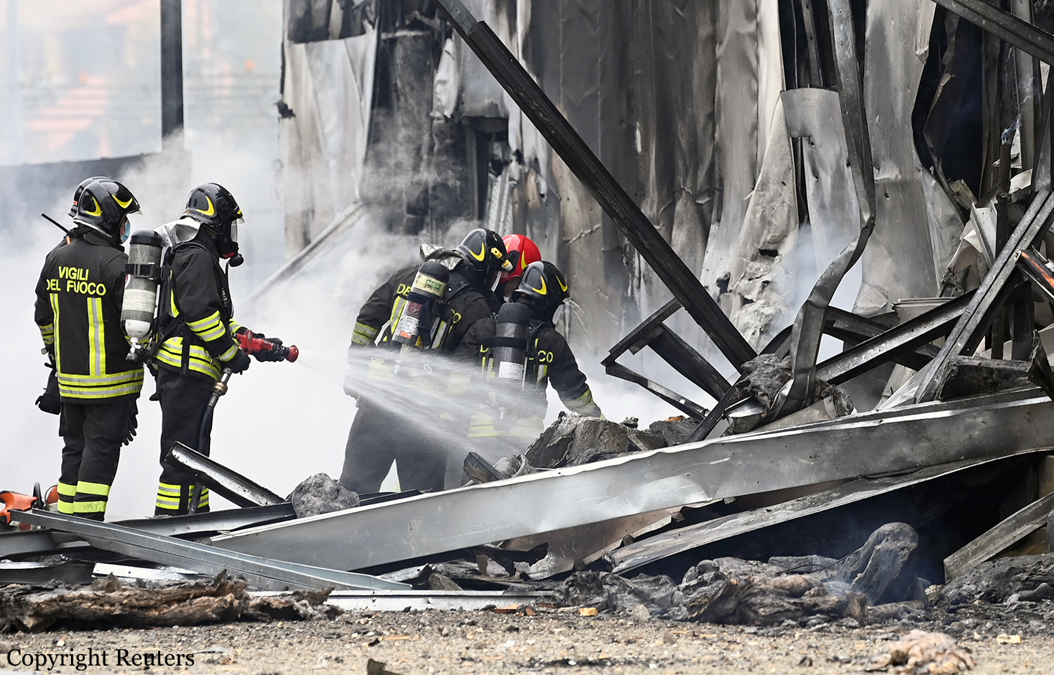
Crash of a Piper PA-31T Cheyenne II in Lafayette: 5 killed

Date & Time: Dec 28, 2019 at 0921 LT
Type of aircraft:
Registration:
N42CV
Flight Phase:
Survivors:
Yes
Site:
Schedule:
Lafayette - Atlanta
MSN:
31T-8020067
YOM:
1980
Crew on board:
1
Crew fatalities:
Pax on board:
5
Pax fatalities:
Other fatalities:
Total fatalities:
5
Captain / Total flying hours:
1531
Captain / Total hours on type:
730.00
Aircraft flight hours:
5954
Circumstances:
The personal flight departed from Lafayette Regional Airport/Paul Fournet Field (LFT), Lafayette, Louisiana, and entered the clouds when the airplane was at an altitude of about 200 ft above ground level. Before takeoff, the controller issued an instrument flight rules clearance to the pilot, instructing him to turn right onto a heading of 240° and climb to and maintain an altitude of 2,000 ft mean sea level (msl) after takeoff. Automatic dependent surveillance-broadcast (ADS-B) data for the accident flight started at 0920:05, and aircraft performance calculations showed that the airplane was climbing through an altitude of 150 ft msl at that time. The calculations also showed that the airplane then turned slightly to the right toward the assigned heading of 240° and climbed at a rate that varied between 1,000 and 2,400 ft per minute and an airspeed that increased from about 151 to 165 knots. At 0920:13, the airplane started rolling back toward wings level and, 7 seconds later, rolled through wings level and toward the left. At that time, the airplane was tracking 232° at an altitude of 474 ft and an airspeed of 165 knots. The airplane’s airspeed remained at 165 knots for about 10 seconds before it started increasing again, and the airplane continued to roll steadily to the left at an average roll rate of about 2° per second. The aircraft performance calculations further showed that, at 0920:40, the airplane reached a peak altitude of 925 ft msl. At that time, the airplane was tracking 200°, its bank angle was about 35° to the left, and its airspeed was about 169 knots. The airplane then started to descend while the left roll continued. At 0920:55, the airplane reached a peak airspeed of about 197 knots, which then started decreasing. At 0920:57, the airplane descended through 320 ft at a rate of descent of about 2,500 ft per minute and reached a bank angle of 75° to the left. At 0920:58, the controller issued a low altitude alert, stating that the pilot should “check [the airplane’s] altitude immediately” because the airplane appeared to be at an altitude of 300 ft msl. The pilot did not respond, and no mayday or emergency transmission was received from the airplane. The last ADS-B data point was recorded at 0920:59; aircraft performance calculations showed that, at that time, the airplane was descending through an altitude of 230 ft msl at a flightpath angle of about -7°, an airspeed of 176 knots, and a rate of descent of about 2,300 ft per minute. (The flightpath angle is in the vertical plane—that is, relative to the ground. The ground track, as discussed previously, is in the horizontal plane—that is, relative to north.) The airplane struck trees and power lines before striking the ground, traveled across a parking lot, and struck a car. The car rolled several times and came to rest inverted at the edge of the parking lot, and a postcrash fire ensued. The airplane continued to travel, shedding parts before coming to rest at the far end of an adjacent field. At the accident site, the surviving passenger told a local police officer that “the plane went straight up and then straight down.”
Probable cause:
The pilot’s loss of airplane control due to spatial disorientation during the initial climb in instrument meteorological conditions.
Final Report:

Crash of a Dornier DO228-200 in Goma: 29 killed

Date & Time: Nov 24, 2019 at 0910 LT
Type of aircraft:
Operator:
Registration:
9S-GNH
Flight Phase:
Survivors:
No
Site:
Schedule:
Goma - Butembo
MSN:
8030
YOM:
1984
Location:
Region:
Crew on board:
2
Crew fatalities:
Pax on board:
17
Pax fatalities:
Other fatalities:
Total fatalities:
29
Circumstances:
The twin engine airplane departed runway 17 at Goma International Airport on a schedule service to Butembo (first service of the day). After takeoff, while in initial climb, the airplane lost height and crashed onto several houses located in the district of Birere, south of the airport, and burst into flames. All 19 occupants were killed as well as 10 people on the ground.

Crash of a Cessna 414A Chancellor in Colonia: 1 killed

Date & Time: Oct 29, 2019 at 1058 LT
Type of aircraft:
Registration:
N959MJ
Flight Type:
Survivors:
No
Site:
Schedule:
Leesburg - Linden
MSN:
414A-0471
YOM:
1980
Crew on board:
1
Crew fatalities:
Pax on board:
0
Pax fatalities:
Other fatalities:
Total fatalities:
1
Captain / Total flying hours:
7173
Captain / Total hours on type:
1384.00
Aircraft flight hours:
7712
Circumstances:
The pilot was conducting a GPS circling instrument approach in instrument meteorological conditions to an airport with which he was familiar. During the final minute of the flight, the airplane descended to and leveled off near the minimum descent altitude (MDA) of about 600 ft mean sea level (msl). During this time, the airplane’s groundspeed slowed from about 90 knots to a low of 65 knots. In the few seconds after reaching 65 knots groundspeed, the flight track abruptly turned left off course and the airplane rapidly descended. The final radar point was recorded at 200 ft msl less than 1/10 mile from the accident site. Two home surveillance cameras captured the final few seconds of the flight. The first showed the airplane in a shallow left bank that rapidly increased until the airplane descended in a steep left bank out of camera view below a line of trees. The second video captured the final 4 seconds of the flight; the airplane entered the camera view already in a steep left bank near treetop level, and continued to roll to the left, descending out of view. Both videos showed the airplane flying below an overcast cloud ceiling, and engine noise was audible until the sound of impact. Postaccident examination of the airplane revealed no evidence of preimpact mechanical malfunctions that would have precluded normal operation. The propeller signatures, witness impact marks, audio recordings, and witness statements were all consistent with the engines producing power at the time of impact. The pilot likely encountered restricted visibility of about 2 statute miles with mist and ceilings about 700 ft msl. When the airplane deviated from the final approach course and descended below the MDA, the destination airport remained 3.5 statute miles to the northeast. Although the airplane was observed to be flying below the overcast cloud layer, given the restricted visibility, it is likely that the pilot was unable to visually identify the airport or runway environment at any point during the approach. According to airplane flight manual supplements, the stall speed likely varied from 76 to 67 knots indicated airspeed. The exact weight and balance and configuration of the airplane could not be determined. Based upon surveillance video, witness accounts, and automatic dependent surveillance-broadcast data, it is likely that, as the pilot leveled off the airplane near the MDA, the airspeed decayed below the aerodynamic stall speed, and the airplane entered an aerodynamic stall and spin from which the pilot was unable to recover. Based on a readout of the pilot’s cardiac monitoring device and autopsy findings, while the pilot had a remote history of arrhythmia, sudden incapacitation was not a factor in this accident. Autopsy findings suggested that the pilot’s traumatic injuries were not immediately fatal; soot material in both the upper and lower airways provided evidence that the pilot inhaled smoke. This autopsy evidence supports that the pilot’s elevated carboxyhemoglobin level was from smoke inhalation during the postcrash fire. In addition, there were no distress calls received from the pilot and there was no evidence found that would indicate there was an in-flight fire. Thus, carbon monoxide exposure, as determined by the carboxyhemoglobin level, was not a contributing factor to the accident.
Probable cause:
The pilot’s failure to maintain airspeed during a circling instrument approach procedure, which resulted in an exceedance of the airplane’s critical angle of attack and an aerodynamic stall and spin.
Final Report:
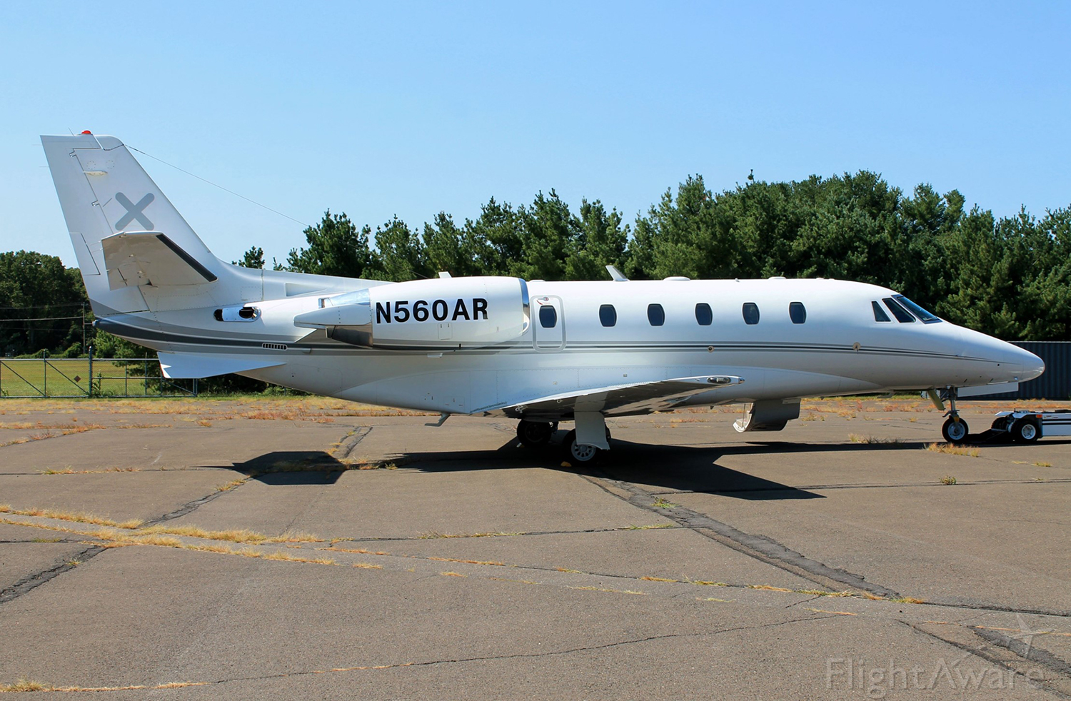
Crash of a Piper PA-31-350 Navajo Chieftain in Popayán: 7 killed

Date & Time: Sep 15, 2019 at 1406 LT
Operator:
Registration:
HK-5229
Flight Phase:
Survivors:
Yes
Site:
Schedule:
Popayán - López de Micay
MSN:
31-7405212
YOM:
1974
Country:
Crew on board:
2
Crew fatalities:
Pax on board:
7
Pax fatalities:
Other fatalities:
Total fatalities:
7
Captain / Total flying hours:
3291
Captain / Total hours on type:
991.00
Copilot / Total flying hours:
300
Copilot / Total hours on type:
55
Aircraft flight hours:
12304
Circumstances:
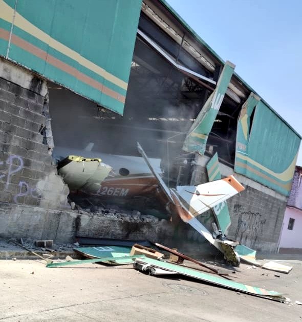
The twin engine airplane departed Popayán-Guillermo León Valencia Airport runway 26 at 14:06:06. The aircraft encountered difficulties to gain sufficient height. About 20 seconds after liftoff, at a speed of 82 knots, the aircraft rolled to the right then entered an uncontrolled descent and crashed onto two houses located 530 metres past the runway end. Two passengers were seriously injured and seven other occupants were killed.
Probable cause:
A loss of in-flight control of the aircraft due to possible excess weight. The aircraft probably managed to take off due to "ground effect", but, once in the air and out of ground effect, it was not able to obtain the speed that would allow it to safely accomplish the climb.
Contributing Factors:
- Absence of Dispatch procedures of the operator to perform a correct Weight and Balance of the aircraft, and the effective control of the boarded cargo.
- Incorrect calculation of the weight and balance of the aircraft by the crew, by not considering all the cargo that was loaded, causing the aircraft to take off with a possible excess weight.
- Weak operational safety management processes of the operator by not considering the operating characteristics of airfields such as Popayán (high altitude, high ambient temperature) that significantly limit the operation.
Final Report: