Crash of a Raytheon 390 Premier I in Annemasse: 2 killed

Date & Time: Mar 4, 2013 at 0839 LT
Type of aircraft:
Operator:
Registration:
VP-CAZ
Flight Phase:
Flight Type:
Survivors:
Yes
Schedule:
Annemasse - Geneva
MSN:
RB-202
YOM:
2007
Country:
Region:
Crew on board:
1
Crew fatalities:
Pax on board:
2
Pax fatalities:
Other fatalities:
Total fatalities:
2
Captain / Total flying hours:
7050
Captain / Total hours on type:
1386.00
Aircraft flight hours:
1388
Aircraft flight cycles:
1404
Circumstances:
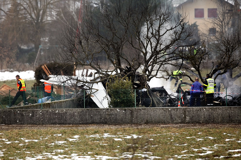
On Monday 4 March 2013, the pilot and two passengers arrived at Annemasse aerodrome (France) at about 7 h 00. They planned to make a private flight of about five minutes to Geneva airport on board the Beechcraft Premier 1A, registered VP-CAZ. The temperature was -2°C and the humidity was 98% with low clouds. The aeroplane had been parked on the parking area of the aerodrome since the previous evening. At 7 h 28, the Geneva ATC service gave the departure clearance for an initial climb towards 6,000 ft with QNH 1018 hPa towards the Chambéry VOR (CBY). At about 7 h 30, when the CVR recording of the accident flight started, the engines had already been started up. At about 7 h 34, the pilot called out the following speeds that would be used during the takeoff roll:
- V1 : 101 kt
- VR : 107 kt
- V2 : 120 kt.
At about 7 h 35, the pilot performed the pre-taxiing check-list. During these checks, he called out “anti-ice ON”, correct operation of the flight controls, and the position of the flaps on 10°.
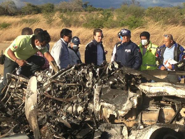
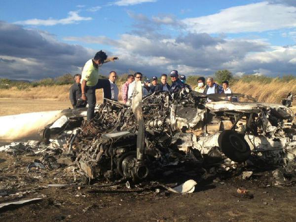
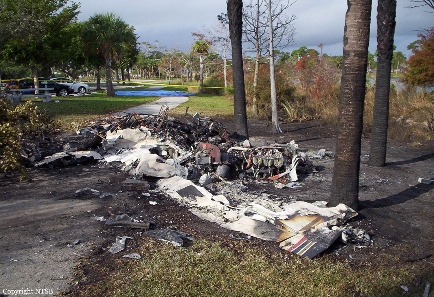
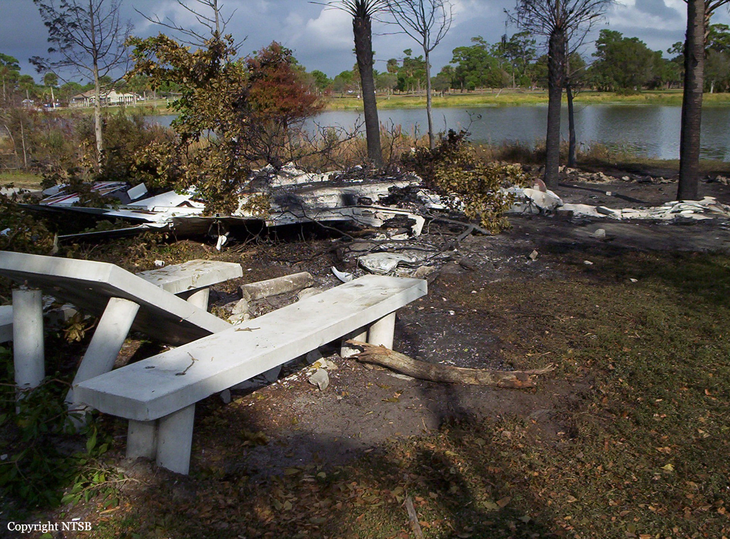
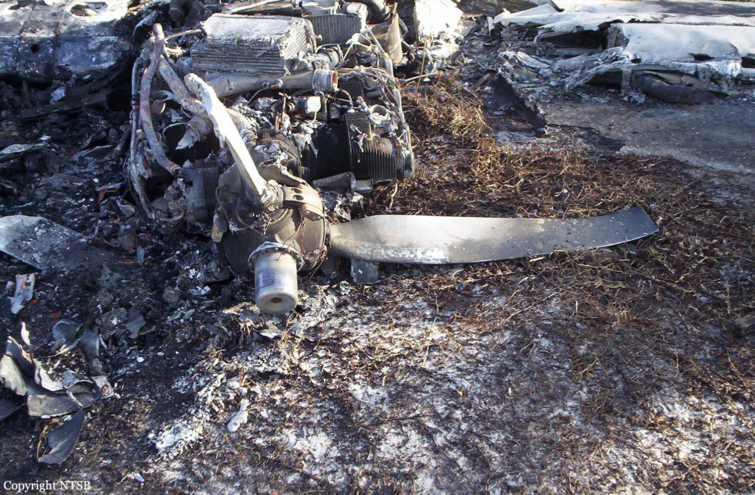
Taxiing towards runway 12 began at 7 h 36. At 7 h 37 min 43, the pilot called out the end of the takeoff briefing, then activation of the engine anti-icing system. At 7 h 38 min 03, the pilot called out the start of the takeoff roll. Fifteen seconds later, the engines reached takeoff thrust. The aeroplane lifted off at 7 h 38 min 37. Several witnesses stated that it adopted a high pitch-up attitude, with a low rate of climb. At 7 h 38 min 40, the first GPWS “Bank angle - Bank angle” warning was recorded on the CVR. It indicated excessive bank. A second and a half later, the pilot showed his surprise by an interjection. It was followed by the aural stall warning that lasted more than a second and a further GPWS “Bank angle - Bank angle” warning. At about 7 h 38 min 44, the aeroplane was detected by the Dole and Geneva radars at a height of about 80 ft above the ground. Other “Bank Angle” warnings and stall warnings were recorded on the CVR on several occasions. Several witnesses saw the aeroplane bank sharply to the right, then to the left. At 7 h 38 min 49 the aeroplane was detected by the radars at a height of about 150 ft above the ground. At 07 h 38 min 52, the main landing gear struck the roof of a first house. The aeroplane then collided with the ground. During the impact sequence, the three landing gears and the left wing separated from the rest of the aeroplane. The aeroplane slid along the ground for a distance of about 100 m before colliding with a garden shed, a wall and some trees in the garden of a second house. The aeroplane caught fire and came to a stop. The pilot and the passenger seated to his right were killed. The female passenger seated at the rear was seriously injured. According to the NTSB and BEA, the airplane was owned by Chakibel Associates Limited n Tortola and operated by Global Jet Luxembourg.
Probable cause:
The pilot’s insufficient appreciation of the risks associated with ground-ice led him to take off with contamination of the critical airframe surfaces. This contaminant deposit then caused the aerodynamic stall of the aeroplane and the loss of control shortly after lift-off.
Final Report:

Crash of a PZL-Mielec AN-2T in Rybinsk

Date & Time: Mar 2, 2013 at 1344 LT
Type of aircraft:
Operator:
Registration:
RF-01024
Flight Phase:
Survivors:
Yes
Schedule:
Rybinsk - Rybinsk
MSN:
1G194-39
YOM:
1981
Country:
Region:
Crew on board:
2
Crew fatalities:
Pax on board:
12
Pax fatalities:
Other fatalities:
Total fatalities:
0
Circumstances:
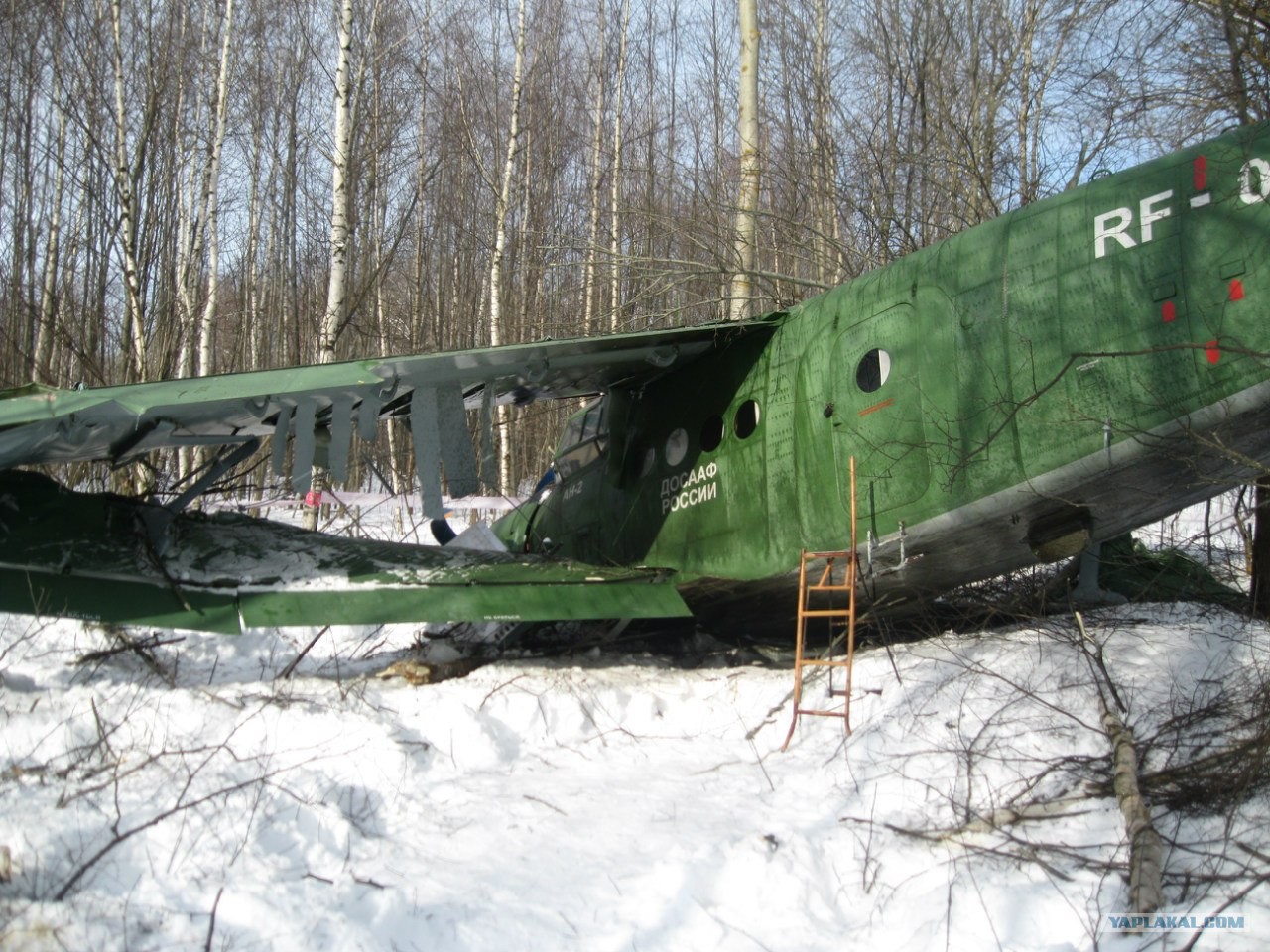
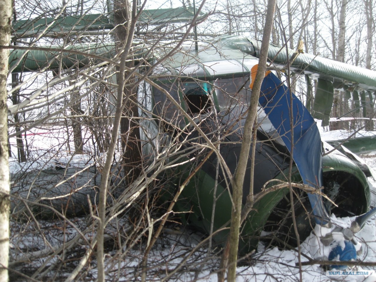
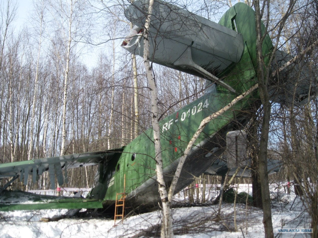
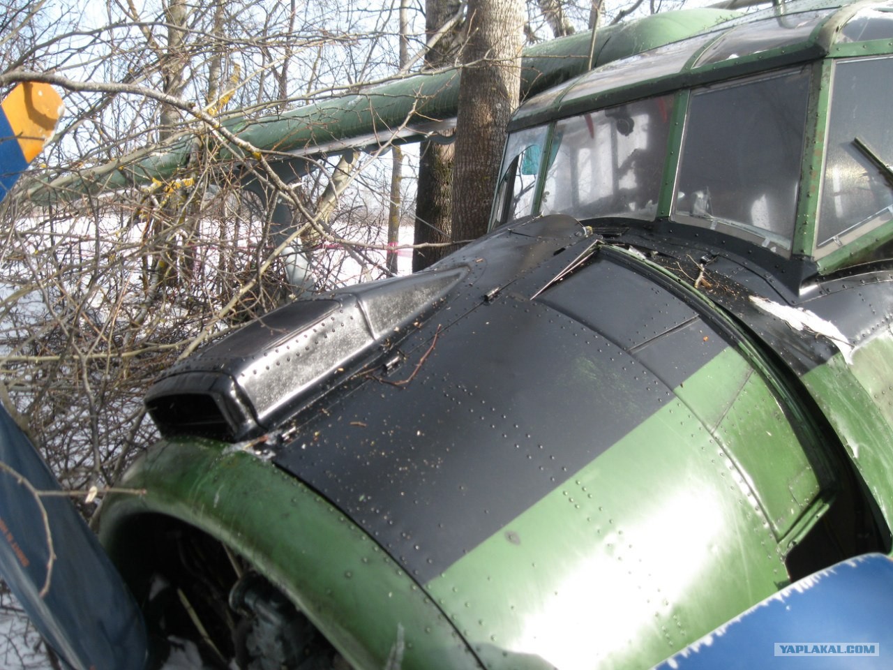
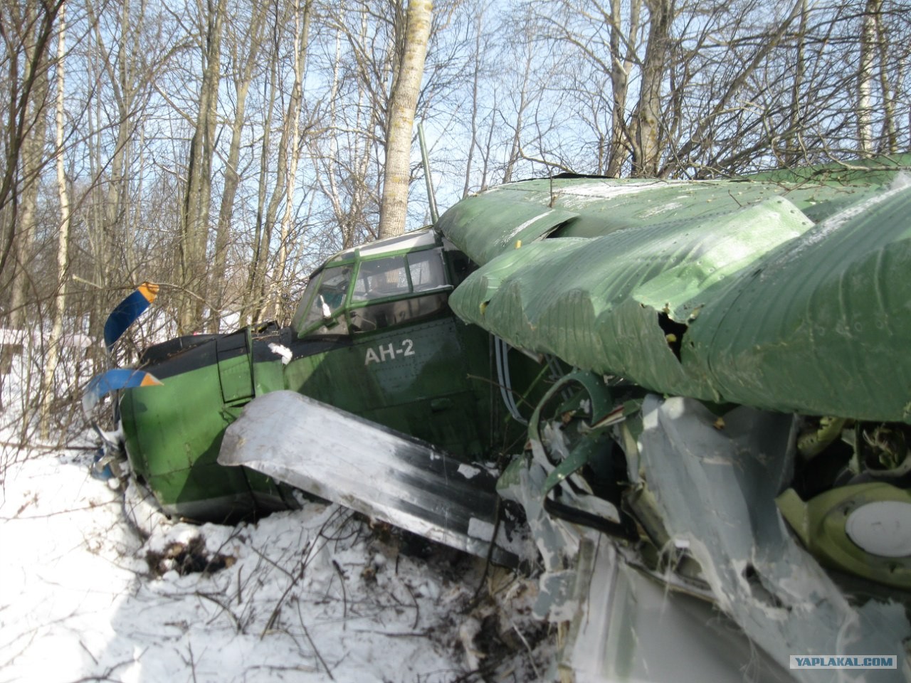
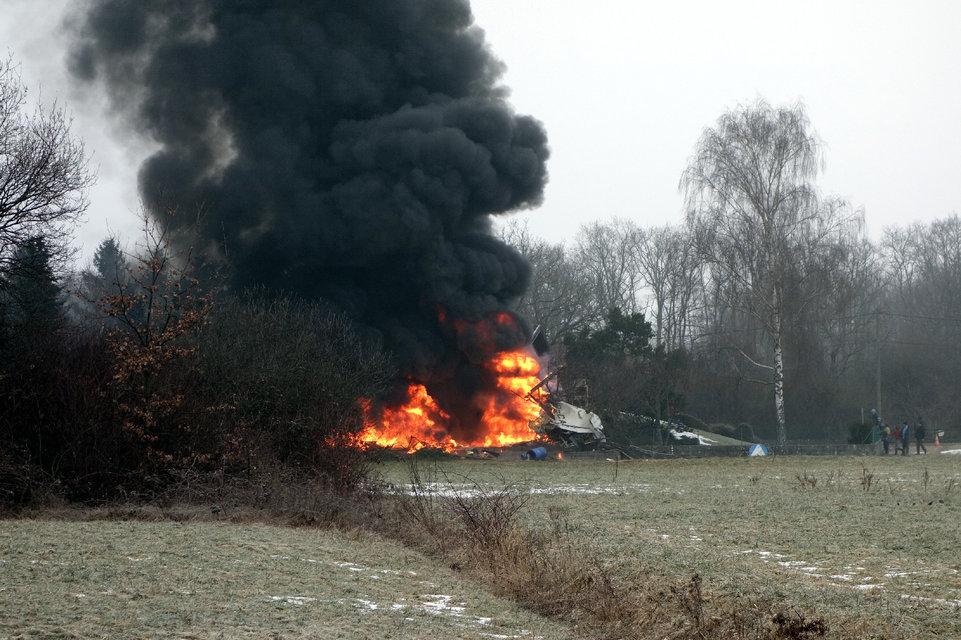
Shortly after takeoff from Rybinsk-Yuzhny Airport, the crew encountered engine problems and elected to make an emergency landing. The aircraft impacted trees and crashed in a snowy wooded area located 2 km from the airport. All 14 occupants evacuated safely. Nevertheless, one skydiver was slightly injured but refused to go to hospital. The aircraft was damaged beyond repair.
Probable cause:
Engine failure for unknown reasons.

Crash of a Rockwell Aero Commander 500B in Broomfield

Date & Time: Mar 1, 2013 at 1545 LT
Operator:
Registration:
N93AA
Flight Phase:
Flight Type:
Survivors:
Yes
Schedule:
Broomfield - Broomfield
MSN:
500-1296-111
YOM:
1963
Crew on board:
1
Crew fatalities:
Pax on board:
1
Pax fatalities:
Other fatalities:
Total fatalities:
0
Captain / Total flying hours:
15000
Captain / Total hours on type:
414.00
Aircraft flight hours:
10021
Circumstances:
The pilot stated that, during the preflight inspection of the airplane, he checked the fuel gauge, and it indicated 65 gallons. Due to the design of the fuel system, it is not possible to visually check the fuel level to confirm that the fuel gauge indication is accurate. During takeoff and as he reduced power for enroute climb, the left engine began to surge and lose power. He immediately turned left back toward the airport and contacted the control tower to advise that he was making a single-engine, straight-in approach to land. When he lowered the landing gear, the right engine began to surge and lose power. Subsequently, the pilot declared an emergency, and, realizing he had insufficient engine power and altitude to return to the airport, he retracted the landing gear and made a no-flap, gear-up landing on a nearby golf course. Postaccident application of battery power to the airplane confirmed that the fuel gauge indicated 65 gallons; however, when the airplane's fuel system was drained, only about 1/2 gallon of fuel was recovered. Thus, the engines lost power due to fuel exhaustion.
Probable cause:
Loss of engine power due to fuel exhaustion. Contributing to the accident was the failure of the fuel gauge to indicate the actual amount of fuel on board the airplane and the design of the airplane's fuel system, which precluded a visual confirmation of the fuel level.
Final Report:
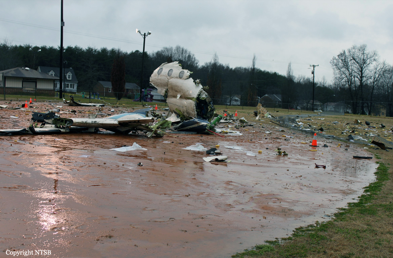
Crash of a Raytheon 390 Premier I in Thomson: 5 killed

Date & Time: Feb 20, 2013 at 2006 LT
Type of aircraft:
Operator:
Registration:
N777VG
Flight Phase:
Survivors:
Yes
Schedule:
Nashville - Thomson
MSN:
RB-208
YOM:
2007
Crew on board:
2
Crew fatalities:
Pax on board:
5
Pax fatalities:
Other fatalities:
Total fatalities:
5
Captain / Total flying hours:
13319
Captain / Total hours on type:
198.00
Copilot / Total flying hours:
2932
Copilot / Total hours on type:
45
Aircraft flight hours:
635
Circumstances:
Aircraft was destroyed following a collision with a utility pole, trees, and terrain following a go-around at Thomson-McDuffie Regional Airport (HQU), Thomson, Georgia. The airline transport-rated pilot and copilot were seriously injured, and five passengers were fatally injured. The airplane was registered to the Pavilion Group LLC and was operated by the pilot under the provisions of 14 Code of Federal Regulations Part 91 as a business flight. Night visual meteorological conditions prevailed, and an instrument flight rules flight plan was filed. The flight originated at John C. Tune Airport (JWN), Nashville, Tennessee, about 1828 central standard time (1928 eastern standard time). The purpose of the flight was to transport staff members of a vascular surgery practice from Nashville to Thomson, where the airplane was based. According to initial air traffic control information, the pilot checked in with Augusta approach control and reported HQU in sight. About 2003, the pilot cancelled visual flight rules flight-following services and continued toward HQU. The last recorded radar return was observed about 2005, when the airplane was at an indicated altitude of 700 feet above mean sea level and 1/2 mile from the airport. There were no distress calls received from the crew prior to the accident. Witnesses reported that the airplane appeared to be in position to land when the pilot discontinued the approach and commenced a go-around. The witnesses observed the airplane continue down the runway at a low altitude. The airplane struck a poured-concrete utility pole and braided wires about 59 feet above ground level. The pole was located about 1/4 mile east the departure end of runway 10. The utility pole was not lighted. During the initial impact with the utility pole, the outboard section of the left wing was severed. The airplane continued another 1/4 mile east before colliding with trees and terrain. A postcrash fire ensued and consumed a majority of the airframe. The engines separated from the fuselage during the impact sequence. On-scene examination of the wreckage revealed that all primary airframe structural components were accounted for at the accident site. The landing gear were found in the down (extended) position, and the flap handle was found in the 10-degree (go-around) position. An initial inspection of the airport revealed that the pilot-controlled runway lights were operational. An examination of conditions recorded on an airport security camera showed that the runway lights were on the low intensity setting at the time of the accident. The airport did not have a control tower. An inspection of the runway surface did not reveal any unusual tire marks or debris. Weather conditions at HQU near the time of the accident included calm wind and clear skies.
Probable cause:
The pilot's failure to follow airplane flight manual procedures for an antiskid failure in flight and his failure to immediately retract the lift dump after he elected to attempt a go-around on the runway. Contributing to the accident were the pilot's lack of systems knowledge and his fatigue due to acute sleep loss and his ineffective use of time between flights to obtain sleep.
Final Report:

Crash of a Piper PA-31-325 Navajo C/R in Tuxtla Gutierrez: 8 killed

Date & Time: Jan 17, 2013 at 1334 LT
Type of aircraft:
Registration:
XB-EZY
Flight Phase:
Survivors:
No
Schedule:
Tuxtla Gutierrez – Puebla
MSN:
31-8212007
YOM:
1982
Country:
Crew on board:
2
Crew fatalities:
Pax on board:
6
Pax fatalities:
Other fatalities:
Total fatalities:
8
Circumstances:
At 1339LT, the crew was cleared for takeoff from runway 32 at Tuxtla Gutierrez-Angel Albino Corzo Airport. During initial climb, after being cleared to climb to 12,500 feet, the crew informed ATC he was returning to the airport. Shortly later, the aircraft lost height and crashed in a field, bursting into flames. The aircraft was totally destroyed and all 8 occupants were killed.
Probable cause:
One of the engine failed after takeoff due to a fuel pump malfunction. The crew elected to return but the aircraft stalled due to an insufficient speed. Poor engine maintenance was considered as a contributing factor as well as the fact that the crew initiated the flight while the aircraft's weight was above the allowable MTOW.
Final Report:
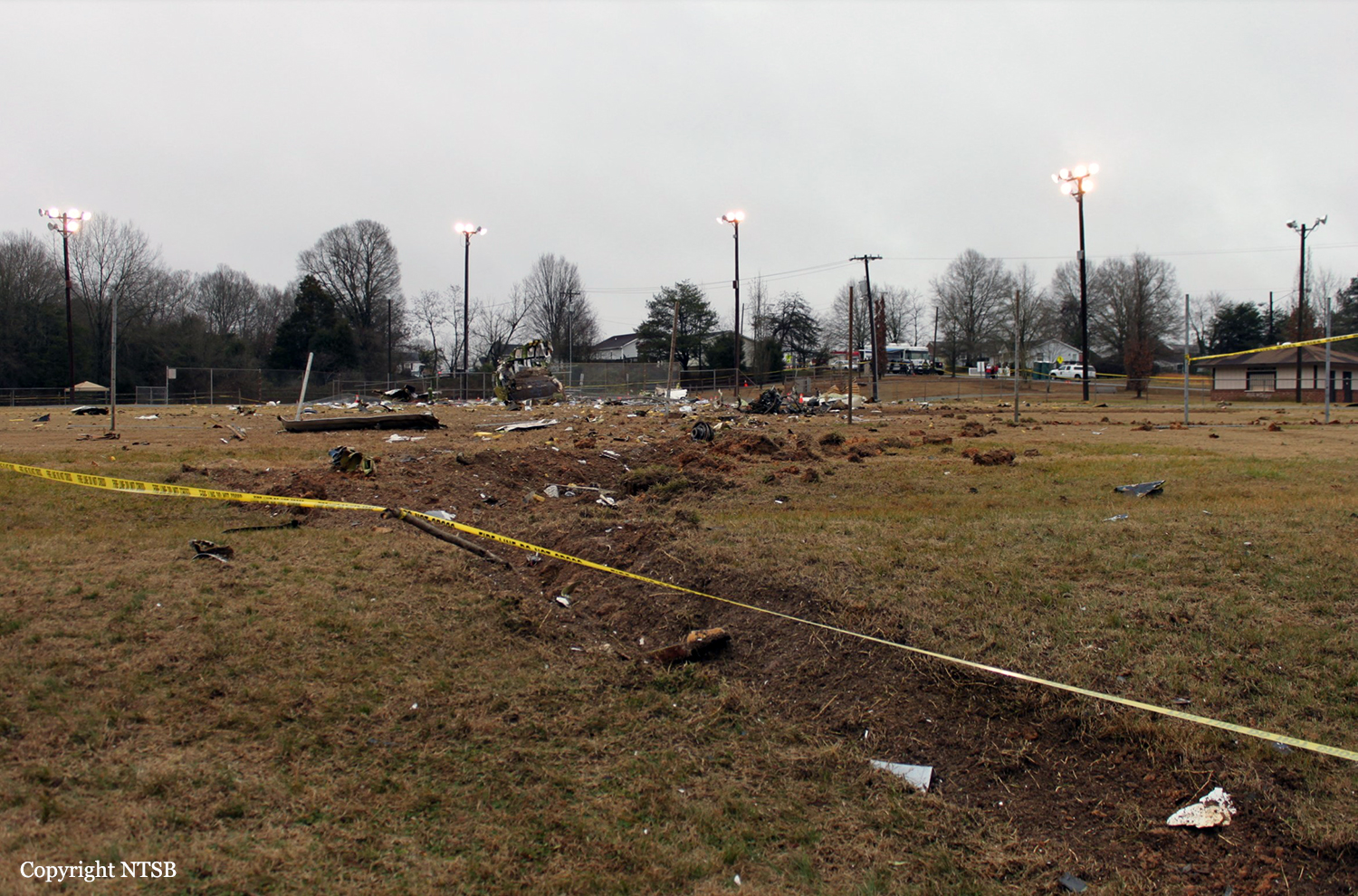
Crash of a Pilatus PC-12/45 in Burlington: 1 killed

Date & Time: Jan 16, 2013 at 0556 LT
Type of aircraft:
Operator:
Registration:
N68PK
Flight Phase:
Survivors:
No
Schedule:
Burlington - Morristown
MSN:
265
YOM:
1999
Flight number:
SKQ53
Crew on board:
1
Crew fatalities:
Pax on board:
0
Pax fatalities:
Other fatalities:
Total fatalities:
1
Captain / Total flying hours:
6369
Captain / Total hours on type:
315.00
Aircraft flight hours:
4637
Circumstances:
The pilot departed in night instrument flight rules (IFR) conditions on a medical specimen transport flight. During the climb, an air traffic controller told the pilot that the transponder code he had selected (2501) was incorrect and instructed him to reset the transponder to a different code (2531). Shortly thereafter, the airplane reached a maximum altitude of about 3,300 ft and then entered a descending right turn. The airplane’s enhanced ground proximity warning system recorded a descent rate of 11,245 ft per minute, which triggered two “sink rate, pull up” warnings. The airplane subsequently climbed from an altitude of about 1,400 ft to about 2,000 ft before it entered another turning descent and impacted the ground about 5 miles northeast of the departure airport. The airplane was fragmented and strewn along a debris path that measured about 800-ft long and 300-ft wide. Postaccident examination of the airplane did not reveal any preimpact mechanical malfunctions that would have precluded the pilot from controlling the airplane. The engine did not display any evidence of preimpact anomalies that would have precluded normal operation. An open resistor was found in the flight computer that controlled the autopilot. It could not be determined if the open resistor condition existed during the flight or occurred during the impact. If the resistor was in an open condition at the time of autopilot engagement, the autopilot would appear to engage with a mode annunciation indicating engagement, but the pitch and roll servos would not engage. The before taxiing checklist included checks of the autopilot system to verify autopilot function before takeoff. It could not be determined if the pilot performed the autopilot check before the accident flight or if the autopilot was engaged at the time of the accident. The circumstances of the accident are consistent with the known effects of spatial disorientation. Dark night IFR conditions prevailed, and the track of the airplane suggests a loss of attitude awareness. Although the pilot was experienced in night instrument conditions, it is possible that an attempt to reset the transponder served as an operational distraction that contributed to a breakdown in his instrument scan. Similarly, if the autopilot’s resistor was in an open condition and the autopilot had been engaged, the pilot’s failure to detect an autopilot malfunction in a timely manner could have contributed to spatial disorientation and the resultant loss of control.
Probable cause:
The pilot's failure to maintain airplane control due to spatial disorientation during the initial climb after takeoff in night instrument flight rules conditions.
Final Report:
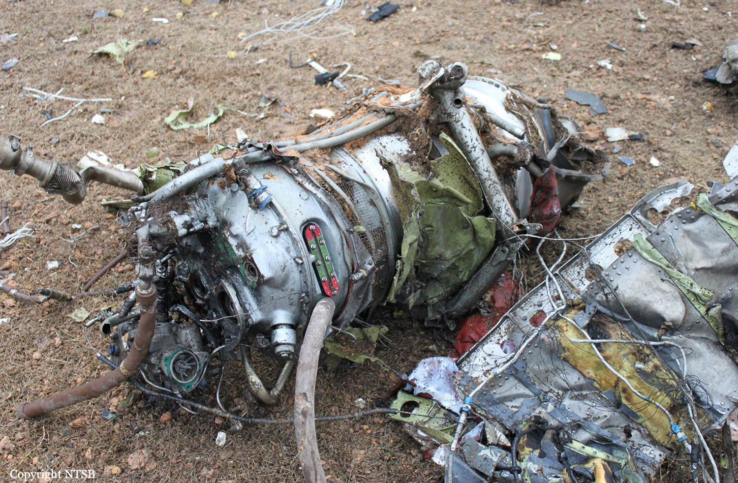
Crash of a Cessna 208B Super Cargomaster in Pellston: 1 killed

Date & Time: Jan 15, 2013 at 1958 LT
Type of aircraft:
Operator:
Registration:
N1120N
Flight Phase:
Flight Type:
Survivors:
No
Schedule:
Pellston - Lansing
MSN:
208B-0386
YOM:
1994
Flight number:
MRA605
Crew on board:
1
Crew fatalities:
Pax on board:
0
Pax fatalities:
Other fatalities:
Total fatalities:
1
Captain / Total flying hours:
1921
Captain / Total hours on type:
34.00
Aircraft flight hours:
10132
Circumstances:
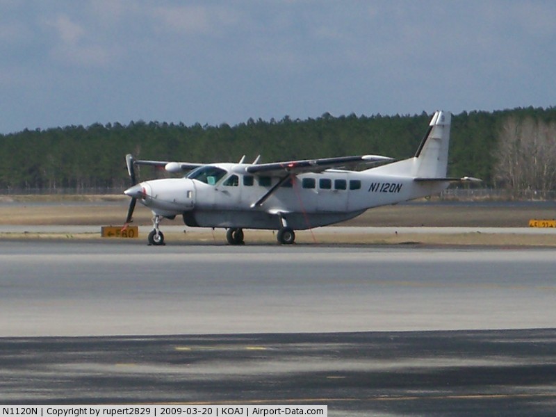
The pilot landed at the airport to refuel the airplane and pick up cargo. The pilot spoke with three employees of the fixed base operator who stated that he seemed alert and awake but wanted to make a "quick turn." After the airplane was fueled and the cargo was loaded, the pilot departed; the airplane crashed 1 minute later. Night visual meteorological conditions prevailed at the time. An aircraft performance GPS and simulation study indicated that the airplane entered a right bank almost immediately after takeoff and then made a 42 degree right turn and that it was accelerating throughout the flight, from about 75 knots groundspeed shortly after liftoff to about 145 knots groundspeed at impact. The airplane was climbing about 500 to 700 feet per minute to a peak altitude of about 260 feet above the ground before descending. The simulation showed a gas generator speed of about 93 percent throughout the flight. The study indicated that the load factor vectors, which were the forces felt by the pilot, could have produced a somatogravic illusion of a climb, even while the airplane was descending. The postaccident examination of the airframe and engine revealed no evidence of mechanical malfunctions or failures that would have precluded normal operation. Based on the findings from the aircraft performance GPS and simulation study, the degraded visual reference conditions present about the time of the accident, and the forces felt by the pilot, it is likely that he experienced spatial disorientation, which led to his inadvertent controlled descent into terrain.
Probable cause:
The pilot's inadvertent controlled descent into terrain due to spatial disorientation. Contributing to the accident was lack of visual reference due to night conditions.
Final Report:

Crash of a Piper PA-46-500TP Malibu Meridian in Glory: 3 killed

Date & Time: Jan 12, 2013 at 0854 LT
Operator:
Registration:
N5339V
Flight Phase:
Survivors:
No
Schedule:
Paris – Austin
MSN:
46-97110
YOM:
2001
Location:
Crew on board:
1
Crew fatalities:
Pax on board:
2
Pax fatalities:
Other fatalities:
Total fatalities:
3
Captain / Total flying hours:
2365
Captain / Total hours on type:
127.00
Aircraft flight hours:
1614
Circumstances:
The instrument-rated pilot obtained a weather briefing prior to departure that contained surface observations along the route of flight, as well as significant meteorological (SIGMET) and airman's meteorological (AIRMET) information. The briefing also included convective weather advisories, a convective outlook, the area forecast, pilot reports, radar summary, and winds aloft information. The area forecast included overcast ceilings at 1,500 feet mean sea level (msl) with cloud tops at 6,000 feet msl, visibility between 3 and 5 miles, light rain and mist, and isolated thunderstorms with cumulonimbus tops to 35,000 feet msl. After the pilot departed, he established contact with air traffic control; the airplane was initially observed on radar heading toward the destination airport. An analysis of radar from the day of the accident indicated that isolated thunderstorms existed and that, almost 4 minutes after departing, the airplane encountered an area of developing rain showers and vertical updrafts. The airplane began a descending right turn followed by a brief climb, then another descent; its ground speed slowed from 202 knots to 110 knots before the data ended. At that time, the airplane was at 4,500 feet msl. A witness said he heard the airplane but was unable to see it due to the low cloud layer. A few moments later, he saw the airplane exit the cloud layer in a spin before it impacted the ground. A postaccident examination revealed no mechanical deficiencies that would have precluded normal operation of the airplane and engine.
Probable cause:
The pilot's encounter with convective weather, which resulted in a loss of airplane control.
Final Report:

Crash of a Cessna 421C Golden Eagle III in Palm Beach County: 1 killed

Date & Time: Dec 8, 2012 at 1334 LT
Operator:
Registration:
N297DB
Flight Phase:
Flight Type:
Survivors:
No
Schedule:
Palm Beach County - Kendall
MSN:
421C-0826
YOM:
1980
Crew on board:
1
Crew fatalities:
Pax on board:
0
Pax fatalities:
Other fatalities:
Total fatalities:
1
Captain / Total flying hours:
1219
Captain / Total hours on type:
100.00
Aircraft flight hours:
7040
Circumstances:
On December 8, 2012, at 1334 eastern standard time, a Cessna 421C, N297DB, operated by a private individual, was destroyed when it collided with trees and terrain following a loss of control after takeoff from North Palm Beach County Airpark (LNA), Lantana, Florida. The commercial pilot was fatally injured. Visual meteorological conditions prevailed, and no flight plan was filed for the personal flight, which was conducted under the provisions of Title 14 Code of Federal Regulations Part 91. The pilot took delivery of the airplane from a maintenance facility that had just completed an annual inspection and repainting of the airplane. According to the owner of the facility, who was a certificated pilot and an airframe and powerplant mechanic, the pilot completed the preflight inspection and the airplane was towed outside. The pilot started the airplane, but then shutdown to resolve an alternator charging light. Afterwards, the pilot stated that he planned to fly to Okeechobee, Florida, complete a few landings, and then continue to Miami. According to the mechanic, the pilot performed a ground run of the airplane for several minutes before taxiing to the approach end of Runway 3 for takeoff. The airplane lifted off about halfway down the runway and climbed at a "normal" rate. The mechanic then observed the airplane suddenly yaw to the left "for a second or two" and the airplane's nose continued to pitch up before rolling left and descending vertically, nose-down, until it disappeared from view. Several witnesses provided similar accounts to a Federal Aviation Administration (FAA) inspector and the local sheriff's department. One witness, a certificated flight instructor said, "The airplane just kept pitching up, and then it looked like a VMC roll."
Probable cause:
The pilot's failure to follow established engine-out procedures and to maintain a proper airspeed after the total loss of engine power on one of the airplane’s two engines during the initial climb. Contributing to the accident was the total loss of engine power due to a loss of torque on the crankcase bolts for reasons that could not be determined because of impact- and fire-related damage to the engine.
Final Report:

Crash of a Britten-Norman BN-2A-7 Islander in La Yesca

Date & Time: Dec 7, 2012
Type of aircraft:
Operator:

Registration:
XC-UPJ
Flight Phase:
Flight Type:
Survivors:
Yes
Schedule:
La Yesca - Zapopan AFB
MSN:
307
YOM:
1971
Country:
Crew on board:
1
Crew fatalities:
Pax on board:
2
Pax fatalities:
Other fatalities:
Total fatalities:
0
Circumstances:
The twin engine aircraft was engaged in an ambulance flight from La Yesca to the Zapopan Air Base, carrying two soldiers who were injured in a car crash, and one pilot. During the takeoff roll, the airplane encountered strong crosswinds and went out of control. It veered off runway to the right and came to rest in a wooded area. All three occupants were rescued while the aircraft was damaged beyond repair.