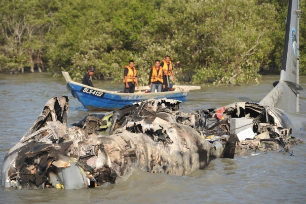
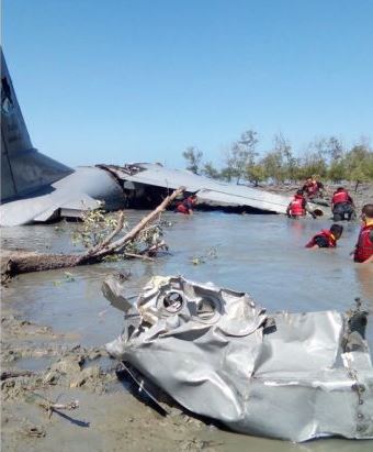
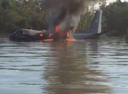
Crash of a Casa CN-235M near Kuala Selangor

Date & Time: Feb 26, 2016 at 0840 LT
Operator:
Registration:
M44-07
Flight Phase:
Flight Type:
Survivors:
Yes
Schedule:
Subang - Subang
MSN:
N055
YOM:
2005
Flight number:
Sintar Sakti 02
Country:
Region:
Crew on board:
8
Crew fatalities:
Pax on board:
0
Pax fatalities:
Other fatalities:
Total fatalities:
0
Circumstances:
The crew departed Kuala Lumpur-Subang-Sultan Abdul Aziz Shah Airport at 0835LT on a local training flight. Ten minutes later, the left engine caught fire and failed, forcing the captain to attempt an emergency landing. The aircraft crash landed in the sea, few metres off the beaches of Taman Malawati Utama, south of Kuala Selangor. The copilot was injured (broken arm) while seven other occupants escaped unhurt. The aircraft was destroyed by a post crash fire.

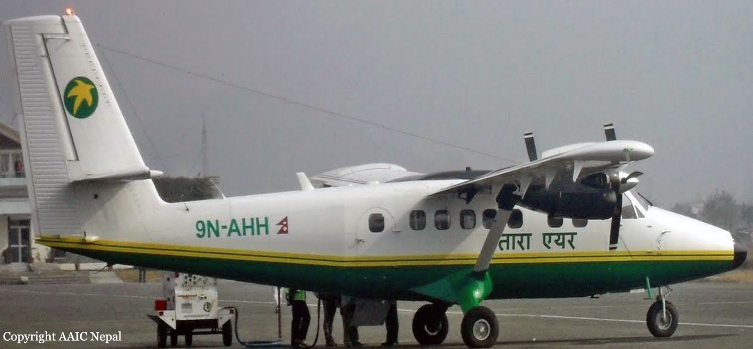
Crash of a Viking Air DHC-6 Twin Otter 400 near Dana: 23 killed

Date & Time: Feb 24, 2016 at 0819 LT
Operator:
Registration:
9N-AHH
Flight Phase:
Survivors:
No
Site:
Schedule:
Pokhara – Jomsom
MSN:
926
YOM:
2015
Flight number:
TA193
Country:
Region:
Crew on board:
3
Crew fatalities:
Pax on board:
20
Pax fatalities:
Other fatalities:
Total fatalities:
23
Captain / Total flying hours:
20108
Captain / Total hours on type:
18500.00
Copilot / Total flying hours:
760
Copilot / Total hours on type:
560
Aircraft flight hours:
270
Aircraft flight cycles:
482
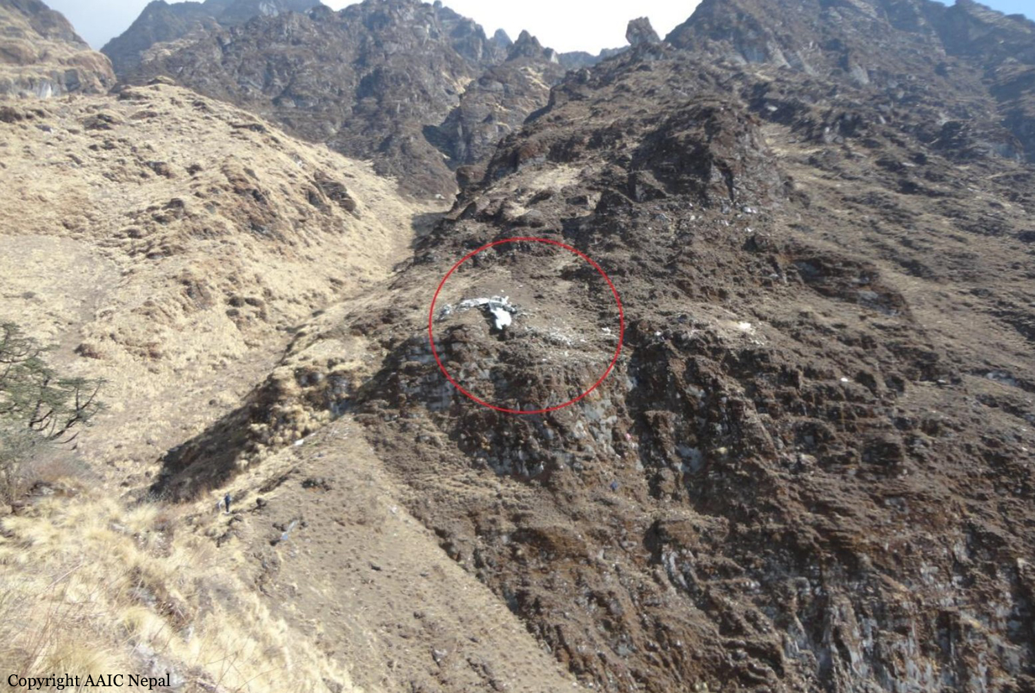
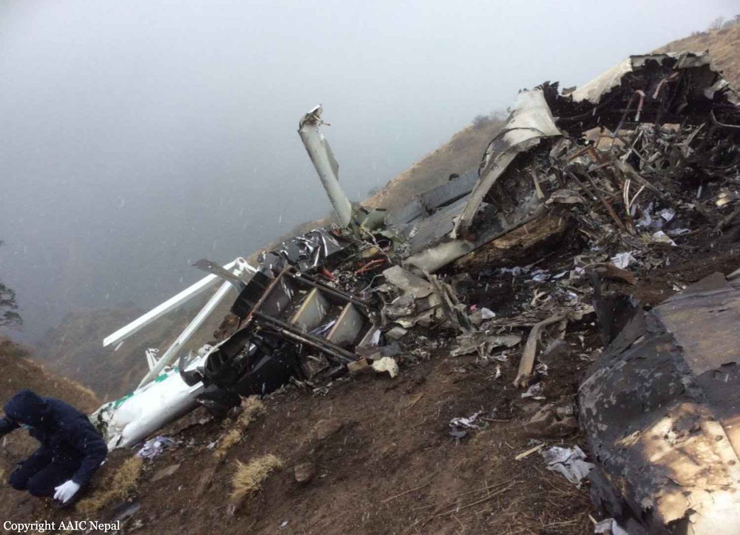
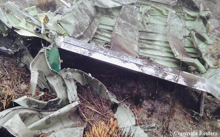
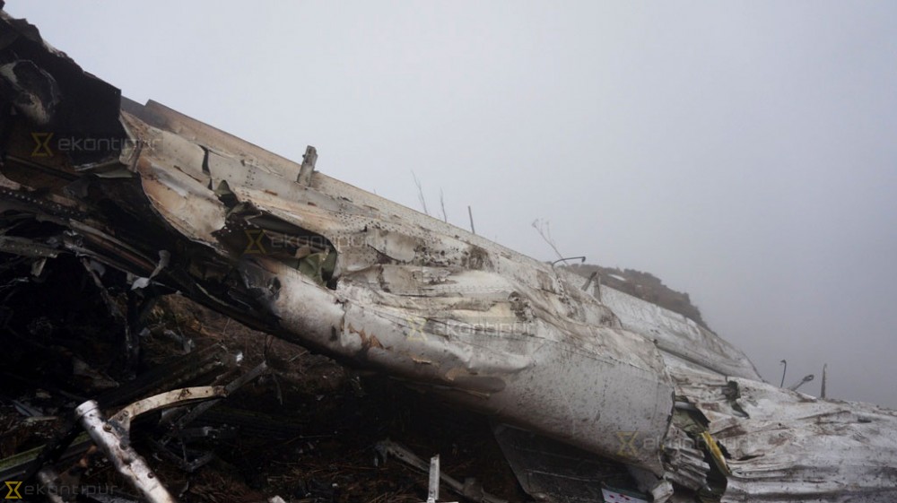
Circumstances:
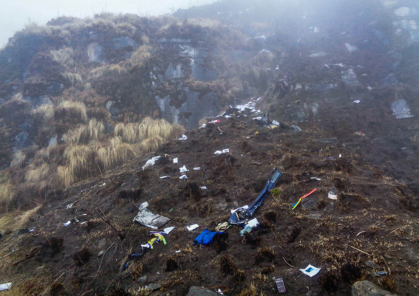
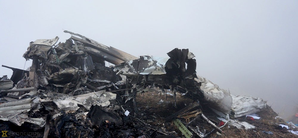
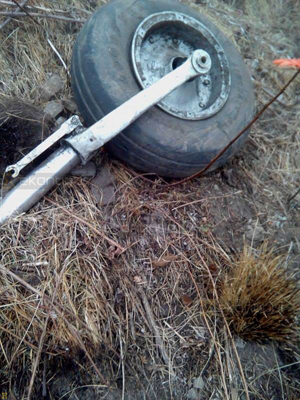
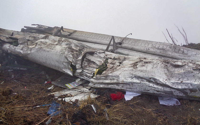
As per the flight plan submitted on 23rd February 2016, the aircraft was scheduled for VFR flight to Jomsom (VNJS) on 24th February with estimated off-block time of 01:00, intended cruising speed of 150 knots, intended level of 10,500 ft and via direct track. The first and second alternate aerodromes were Bhairahawa (VNBW) and Pokhara (VNPK) respectively and estimated elapsed time was 20 minutes with the fuel endurance of 2 hours and 30 minute. Based on the information from the CVR, FDR and ATC records, the following description of the history of the flight was reconstructed: At 01:55, the first-officer contacted Pokhara tower requesting Jomsom and Bhairahawa weather. Upon receiving Jomsom weather which was 8 km visibility towards Lete (arrival track) and foothill partially visible; at 01:56 F/O requested start-up for Jomsom. First-officer then briefed the weather to the captain, in response to this the captain responded by saying 'Let‘s have a look, if not possible we will return' (Translated from Nepali conversation). While performing the 'before start checklist', they received weather of Bhairahawa as closed. After completing the checklist and start-up the first-officer at 02:00 requested taxi clearance. The ATC informed runway change to 22 instead of runway 04 and gave taxi clearance. At 02:03 while taxiing the captain considering bad weather condition expressed his concern over the runway change with F/O but failed to express it to the ATC. As briefed by captain earlier, the control was transferred to F/O and at 02:04 F/O made a normal take-off. At 02:08 the captain reported 5 miles at 6,200 ft to ATC. At 02:09, while passing through 7,000 ft the captain informed the actual weather, which was light haze, mountain not visible but had ground contact, to an ultra-light aircraft upon his request. As per the cockpit conversation, the crew were comparing the base of the cloud which was higher than the day before and proposed to continue climb to 12,500 ft if not on-top of the cloud at 10,500 ft. Around 5 miles before Ghorepani passing 10,100 ft, the captain told that cells were still present so advised F/O to continue climb to 12,000 ft and told that they will proceed till TATOPANI and decide to continue or divert. At 02:14 approaching GHOREPANI and passing 11,400 ft, Captain told F/O to maintain level to be in between the cloud layers and briefed F/O that if they had to divert it would be a left turn. At the same time captain asked repeatedly to F/O if his side was raining for which F/O told and confirmed not visual, after which captain told they would see and decide (regarding continuation of flight). At 02:14:50 while over Ghorepani area at 11,500 ft the EGPWS TERRAIN alert and at 02:14:52 PULL UP warning came while they were not visual and at 02:15:01 it was stated that they were visual and by 02:14:53 the warning stopped. At 02:15 while maintaining 11,500 ft the captain reported ATC that they are at Ghorepani at level 10,500 ft after which frequency changeover to Jomsom tower was given. At 02:15:27 the captain instructed F/O to maintain heading of 3300 and flight level just below the cloud, after which a shallow descent was initiated. At this time captain asked F/O if his side was visual, in response F/O replied somewhat visual. The Captain then instructed F/O to descent to 10,000 ft. Once the descent was started at 02:15:55 passing 11,000 ft an OVERSPEED warning sounded in the cockpit for 2 seconds as the speed reached 152 knots. At 02:16 while passing 10,700 ft captain advised F/O to make a left turn so that it would be easy to turn if required as he was able to see his side. Then F/O asked if left side was visual for which the captain informed that not that side (towards the track) but somewhat visual to the left of him and told that the TRACK TO GO was TO THE LEFT whereas they were actually left of the track and had descended to 10,300 ft. At 02:17:58 EGPWS TERRAIN alert sounded when the aircraft was at 10,200 ft and descending on heading of 3210 with right bank angle of around 30 . At 02:18:06 when the aircraft had descended to 10,100 ft the PULL UP WARNING sounded for which the captain said not to worry and at 02:18:12; when the aircraft was at 10,000 ft the captain took-over the control, continued descent and asked F/O if his side was visual. The F/O informed that right side was not visual at all by which the aircraft had continued shallow descent on heading 3250 with right bank angle reaching up to 130 at 2:18:19 and by 02:18:23 the aircraft once again returned back to 0° bank angle. At 02:18:23 the captain started left bank followed by right bank again while still on a shallow descent until 02:18:27.Upon reaching 9,850 ft (lowest altitude) the aircraft started very shallow climb. At 02:18:35 when aircraft was 9,920 ft the captain told F/O that they reached Landslide (a checkpoint which is on track to Jomsom on the right side of the Kali-Gandaki River). At 02:18:44 when aircraft reached 10,150 ft captain told ―what I will do is now I will turn to heading of LETTE‖ (another way point on route to Jomsom); while the PULL-UP warning was continuously sounding. At 02:18:49 when the aircraft was at 10,300 ft right bank angle increased up to 16° with pitch up attitude of 7°. At 02:18:52 the captain told that he would start climb when the aircraft had reached 10,350 ft; pitch attitude of 10° and still on right bank. The aircraft reached zero degree bank at 02:18:53 and started shallow left bank with pitch attitude of 12° nose up. By 02:18:57 the bank angle reached 200 left with pitch attitude of 11.8 and altitude of 10,550 ft and captain was still questioning F/O about the visibility towards his side but F/O informed his side not visible completely. The last data recorded in FDR was at 02:19:03 when the altitude had reached around 10,700 ft; pitch attitude of 7° nose up and left bank angle of 25° heading of 335° with EGPWS PULL-UP warning ON.
Probable cause:
The Commission concludes that the probable cause of this accident was the fact that despite of unfavourable weather conditions, the crew‘s repeated decision to enter into cloud during VFR flight and their deviation from the normal track due to loss of situational awareness aggravated by spatial disorientation leading to CFIT accident.
The contributing factors for the accident are:
1. Loss of situational awareness,
2. Deteriorating condition of weather,
3. Skill base error of the crew during critical phases of flight,
4. Failure to utilize all available resources (CRM), especially insensitivity to EGPWS cautions/warnings.
Final Report:

Crash of an Embraer EMB-820C Navajo in Santa Isabel

Date & Time: Feb 16, 2016 at 1430 LT
Operator:
Registration:
PT-WZA
Flight Phase:
Survivors:
Yes
Schedule:
Jacarepaguá – Campinas
MSN:
820-020
YOM:
1976
Country:
Crew on board:
1
Crew fatalities:
Pax on board:
2
Pax fatalities:
Other fatalities:
Total fatalities:
0
Circumstances:
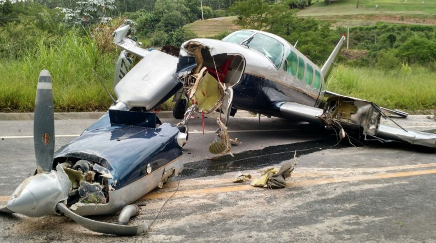
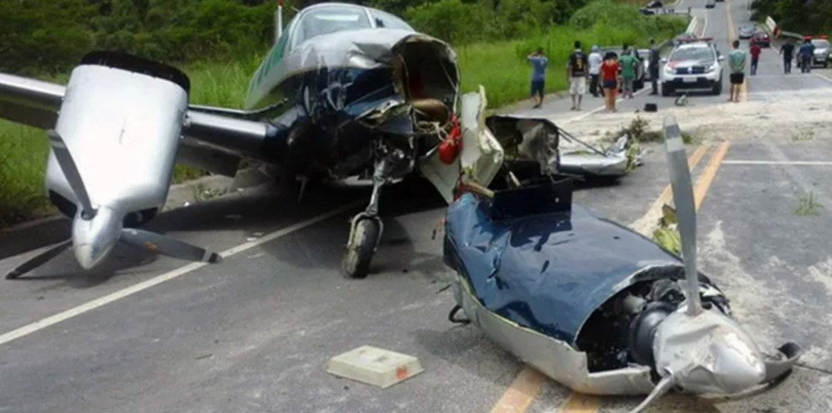
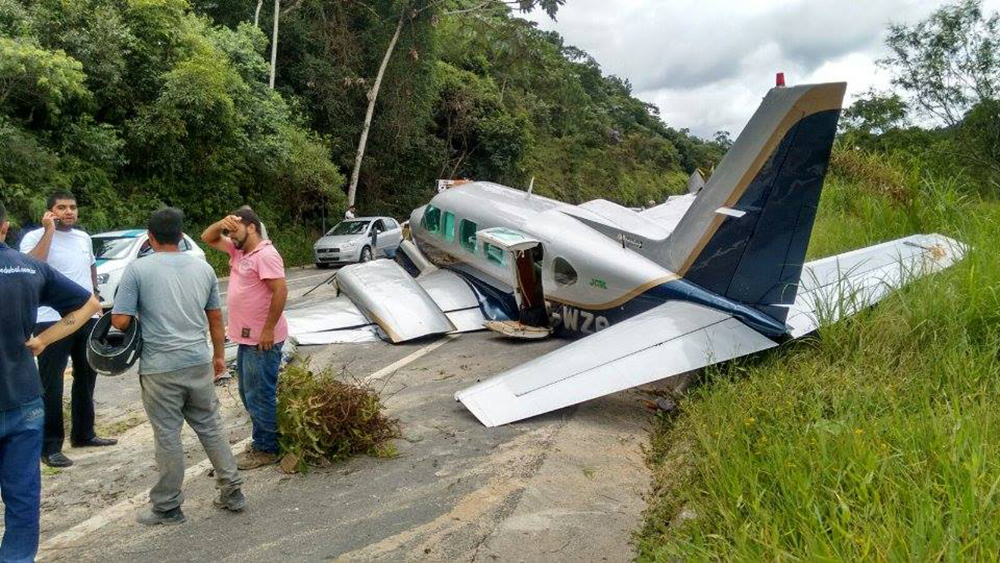
En route, the pilot encountered an unexpected situation and attempted an emergency landing. After landing on a road in Santa Isabel, the airplane collided with various obstacles and came to rest. All three occupants evacuated safely and the airplane was damaged beyond repair.

Crash of a PZL-Mielec AN-2R near Gai: 3 killed

Date & Time: Feb 6, 2016 at 1244 LT
Type of aircraft:
Operator:
Registration:
RA-40204
Flight Phase:
Survivors:
No
Schedule:
Sterlitamak – Zilair – Akyar – Orsk – Akyar – Sterlitamak
MSN:
1G219-54
YOM:
1986
Country:
Region:
Crew on board:
2
Crew fatalities:
Pax on board:
1
Pax fatalities:
Other fatalities:
Total fatalities:
3
Captain / Total flying hours:
4332
Captain / Total hours on type:
1204.00
Copilot / Total flying hours:
454
Copilot / Total hours on type:
454
Aircraft flight hours:
6952
Aircraft flight cycles:
20236
Circumstances:
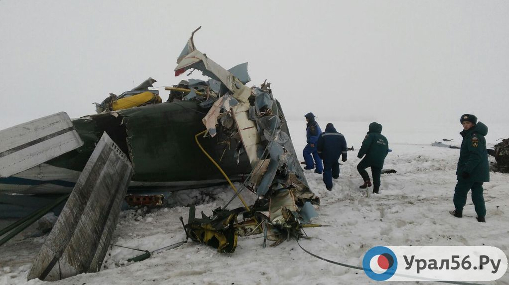
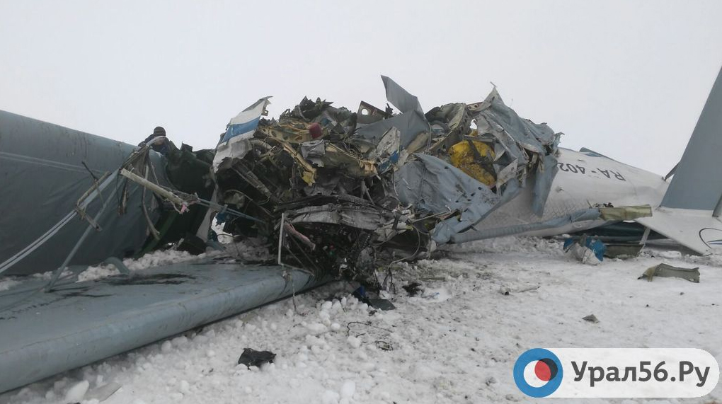
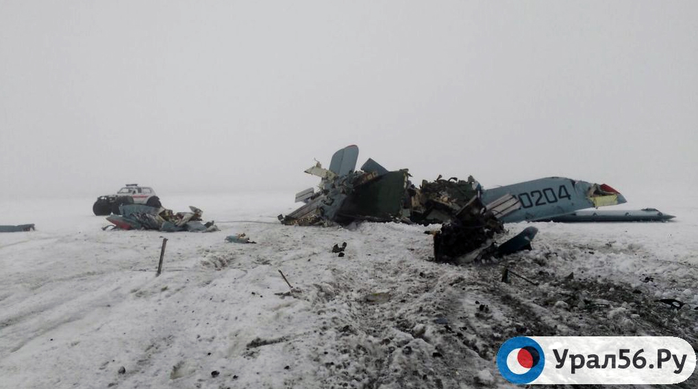
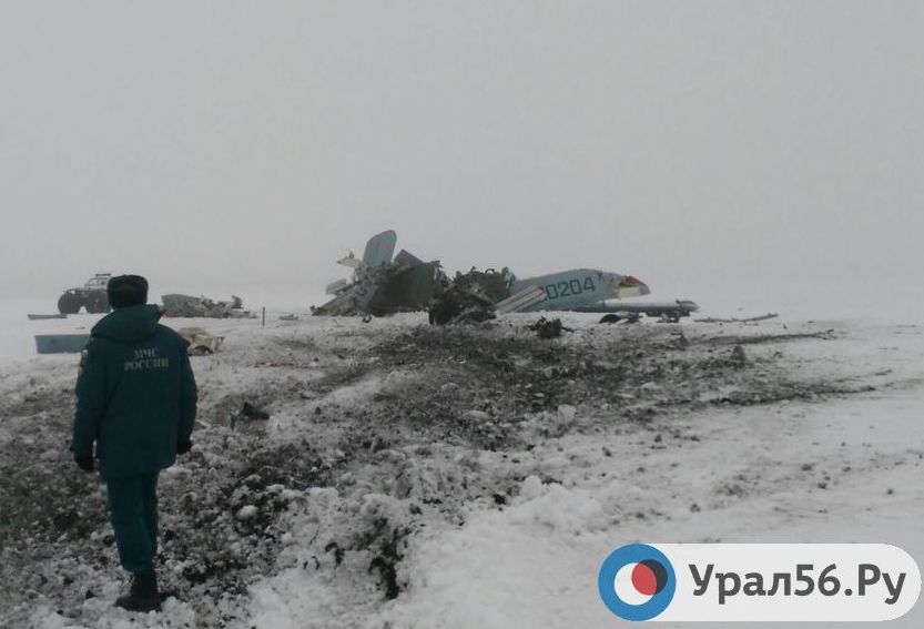
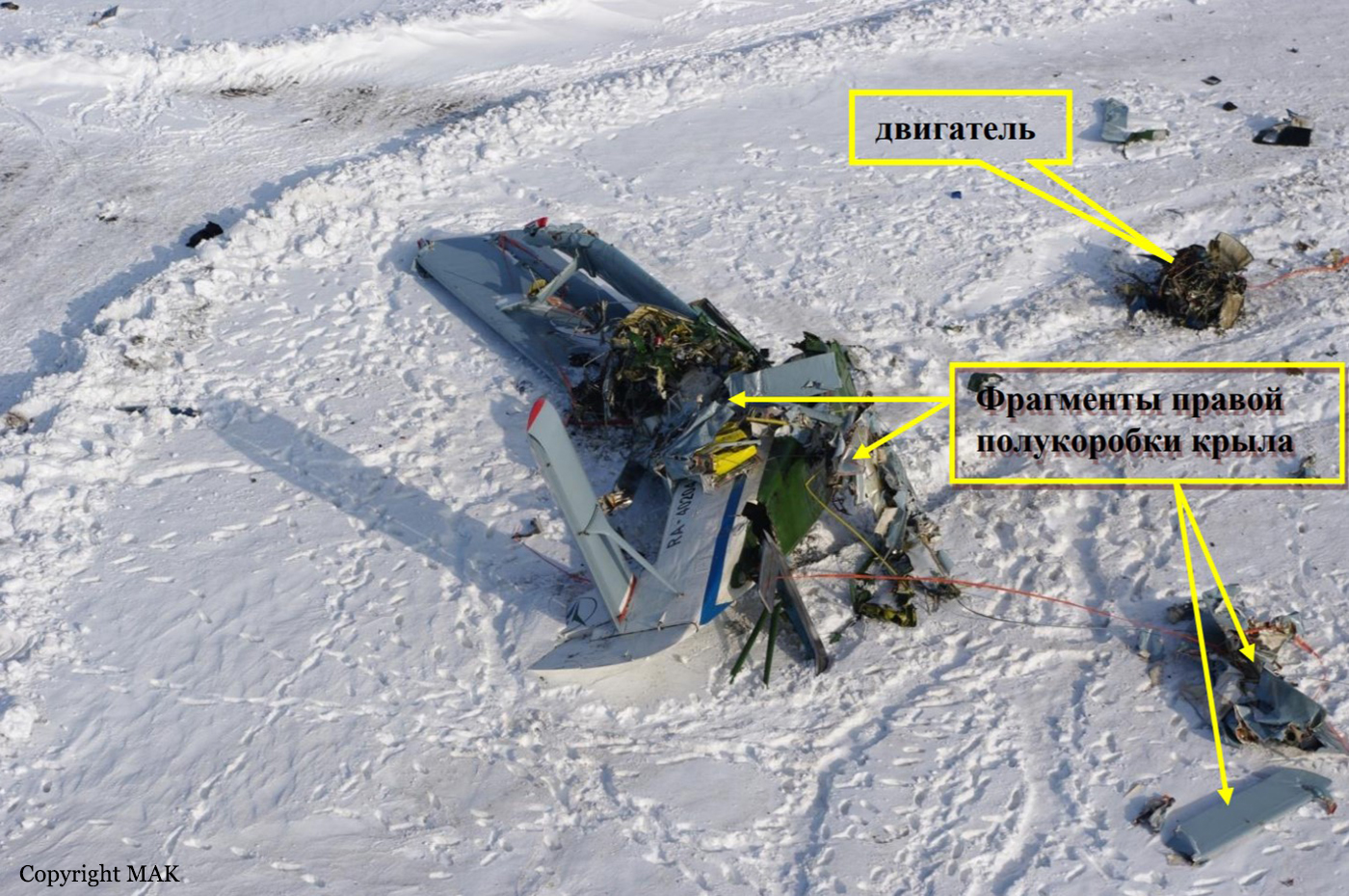
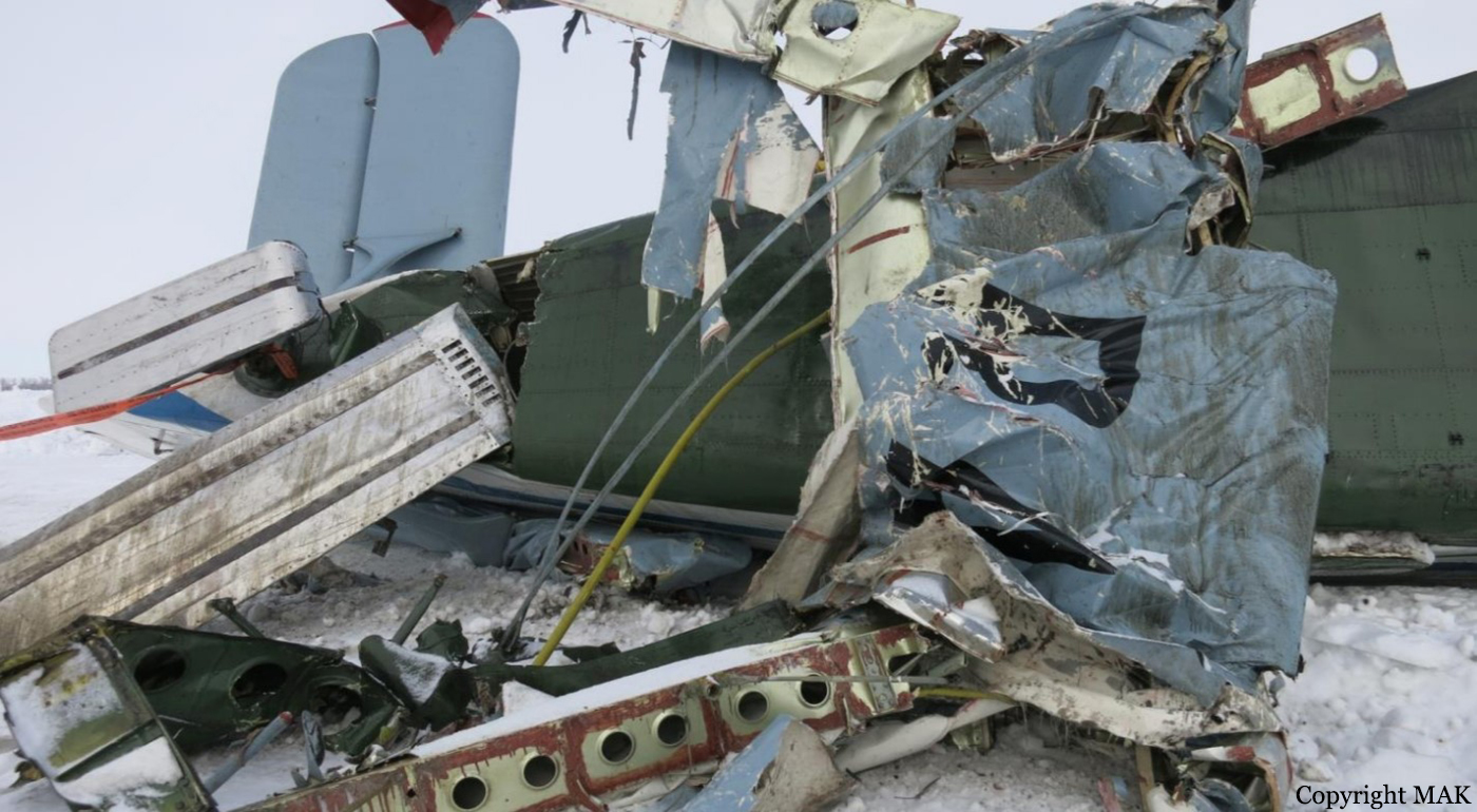
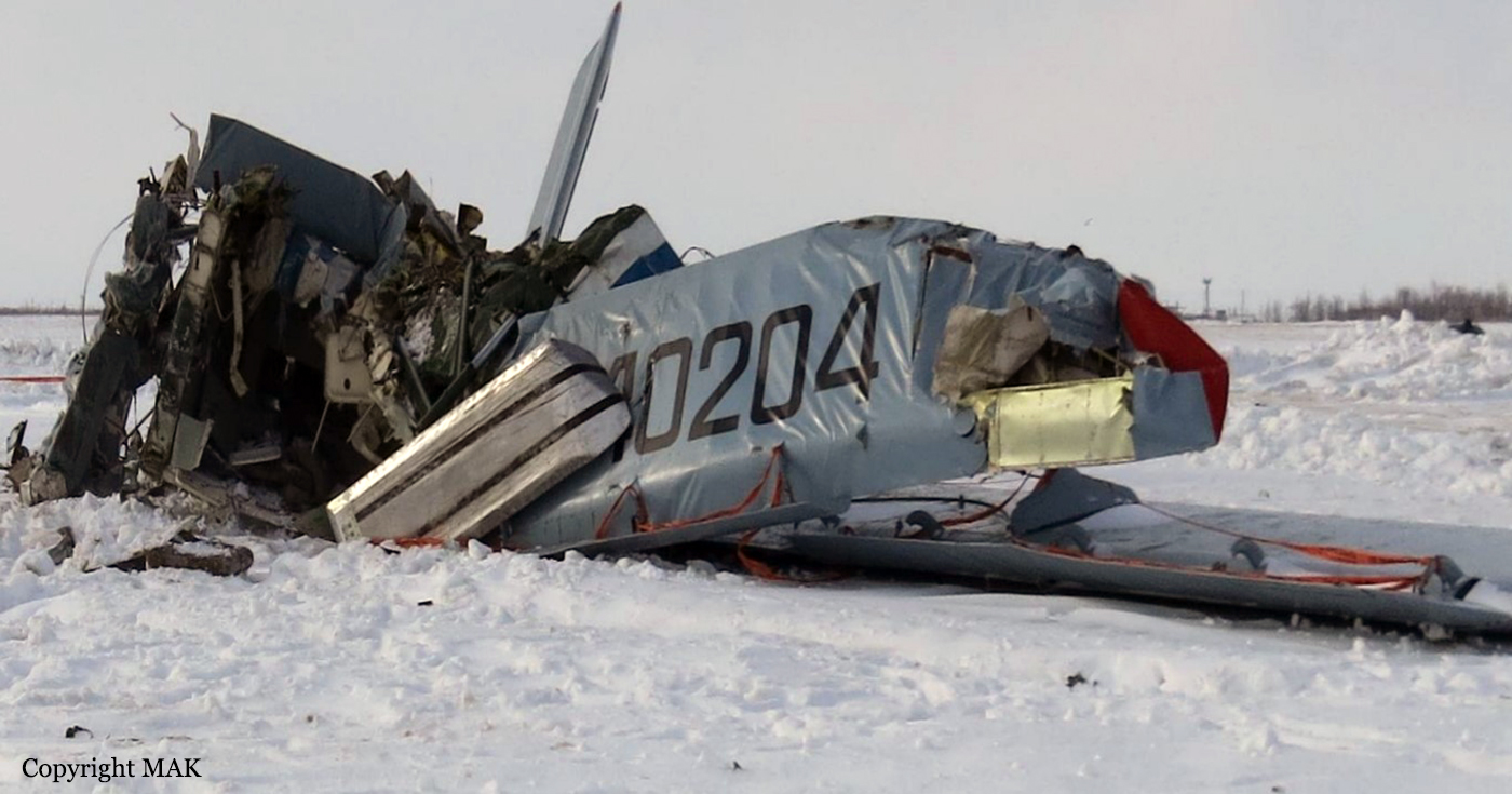
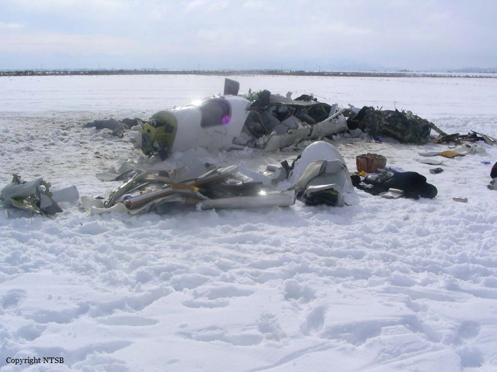
The crew was performing a flight from Sterlitamak to Orsk and return via Zilair and Akyar, taking part to an oil pipeline survey mission on behalf of the oil company Transneft. While flying at low height in marginal weather conditions, the crew initiated a turn when the single engine impacted the ground and crashed in a snowy field located 2 km southwest of Gai, about 25 km north of Orsk. The aircraft was destroyed by impact forces and all three occupants were killed. There was no fire. At the time of the accident, the visibility was reduced to 800 metres and down to 300 metres locally. The cloud base was at 90 metres with freezing fog.
Probable cause:
Most probably the fatal accident with An-2 RA-40204 aircraft was caused by spatial disorientation by the crew turning in visibility restriction conditions (fog) and "whiteout" of snow underlying surface that resulted in uncontrolled descending and aircraft ground impact.
Most probably the following factors contributed to the accident:
- Incorrect evaluation of weather conditions by the crew resulted in unreasonable decision to perform VFR flight,
- Flight operation at the unauthorized law height above ground,
- Lack of IFR operation skills, training and checks for minima reduction by PIC were formal, weather conditions during operations didn't comply with assigned minima requirements.
Final Report:

Crash of a Piper PA-46-350P Malibu Mirage in Ottawa

Date & Time: Jan 19, 2016 at 1250 LT
Registration:
N113WB
Flight Phase:
Flight Type:
Survivors:
Yes
Schedule:
Olathe - Olathe
MSN:
46-22193
YOM:
1995
Location:
Crew on board:
2
Crew fatalities:
Pax on board:
0
Pax fatalities:
Other fatalities:
Total fatalities:
0
Captain / Total flying hours:
2985
Captain / Total hours on type:
290.00
Copilot / Total flying hours:
2500
Copilot / Total hours on type:
800
Aircraft flight hours:
3100
Circumstances:
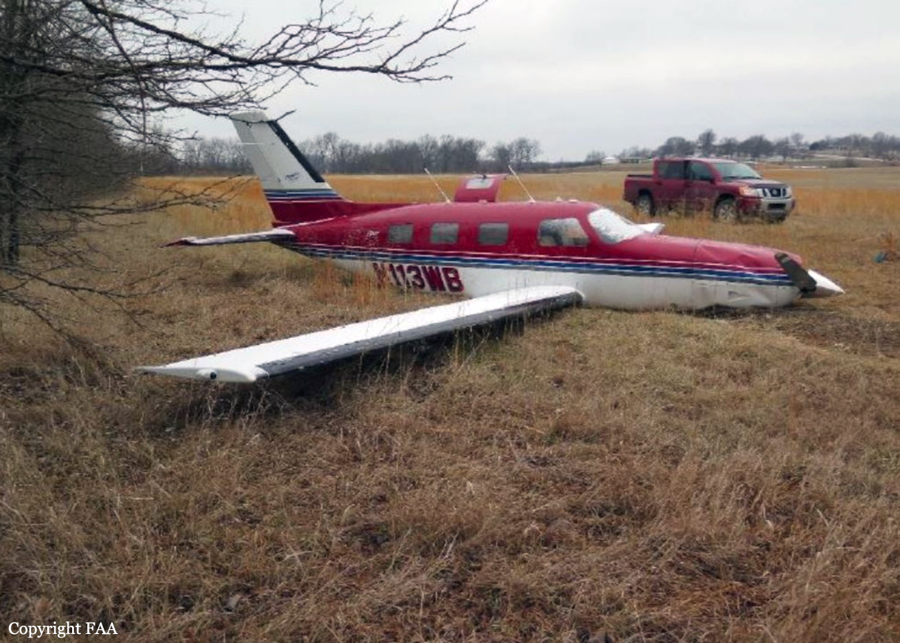
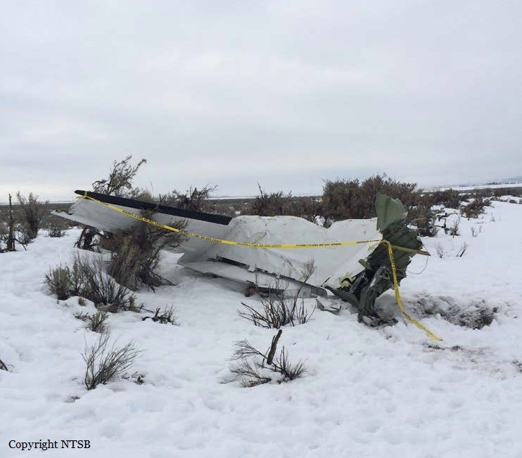
According to the flight instructor, he and the pilot rated student receiving instruction were operating under instrument flight rules in instrument meteorological conditions. He reported that throughout the flight the airplane accumulated light rime ice. He recalled that after holding at a Very High Frequency Omni-Directional Range (VOR), they completed a VOR approach, executed the missed approach procedure, set the power to climb at the airspeed of 130 knots indicated airspeed and began to climb to 5000 feet. He reported that as they climbed they encountered freezing rain, the airspeed began to deteriorate and the degree of ice accumulation increased from light to moderate. He reported that all of the airplane's de-ice systems were functioning yet he was not able to maintain altitude. He determined that landing at the destination airport was not an option and executed a forced landing in an open field. He affirmed that during the landing the airplane bounced several times before coming to a stop. The airplane sustained substantial damage to the firewall, forward pressure bulkhead and puncture holes in the airplane skin. The pilot reported that there were no mechanical failures or anomalies prior to or during the flight that would have prevented normal flight operation.
Probable cause:
The flight crews encounter with un-forecasted freezing rain resulting in an uncontrolled descent, forced landing, and substantial damage to the airplane's firewall, and forward pressure bulkhead.
Final Report:

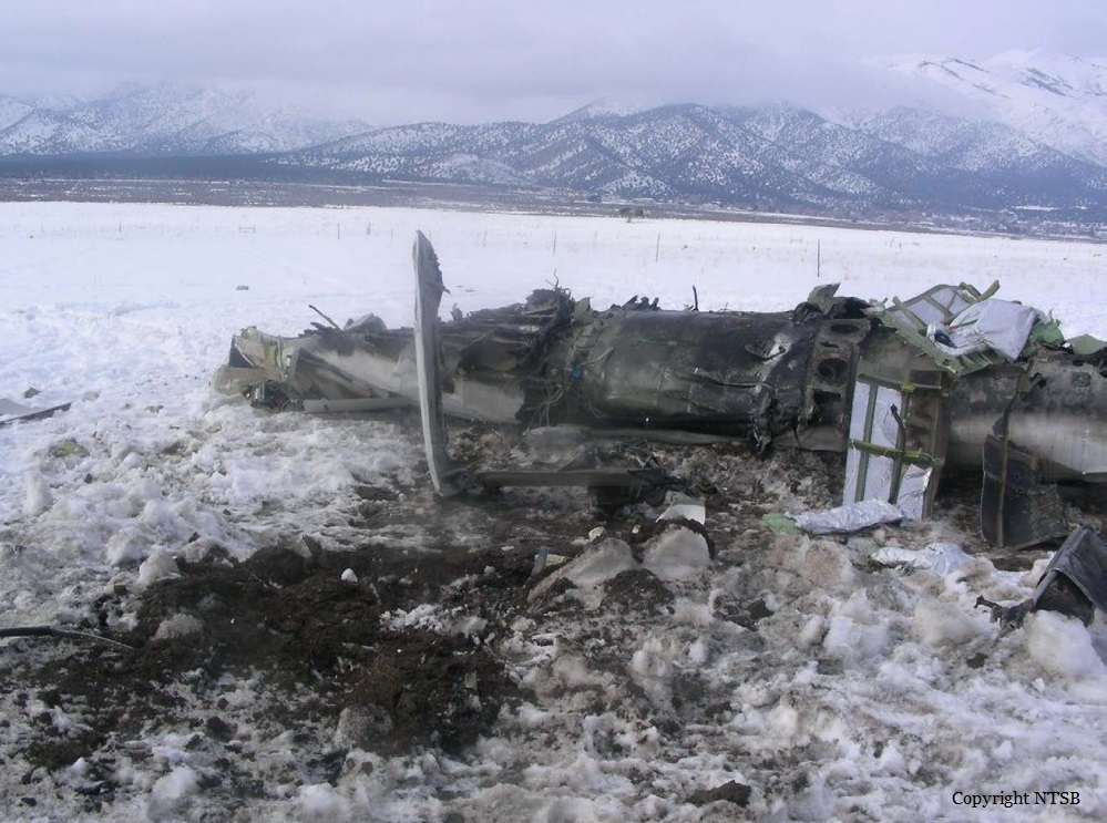
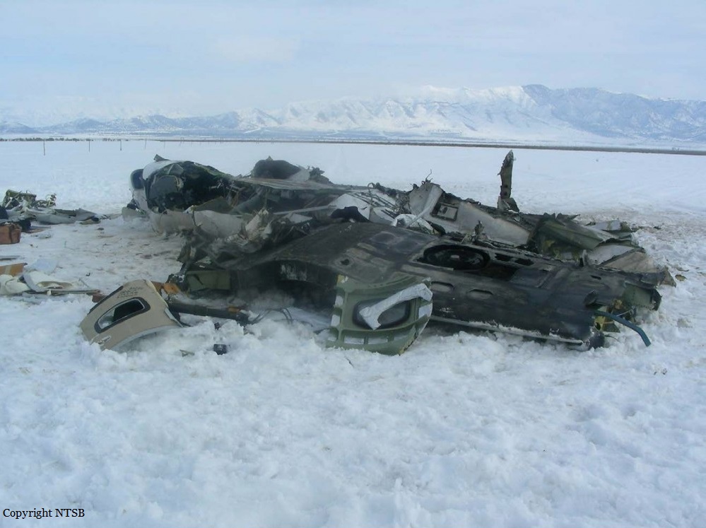
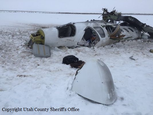
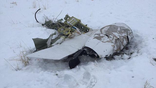
Crash of a Cessna 525 CitationJet CJ1 in Cedar Fort: 2 killed

Date & Time: Jan 18, 2016 at 1000 LT
Type of aircraft:
Registration:
N711BX
Flight Phase:
Flight Type:
Survivors:
No
Schedule:
Salt Lake City - Tucson
MSN:
525-0299
YOM:
1999
Location:
Crew on board:
1
Crew fatalities:
Pax on board:
1
Pax fatalities:
Other fatalities:
Total fatalities:
2
Captain / Total flying hours:
3334
Captain / Total hours on type:
1588.00
Aircraft flight hours:
2304
Circumstances:
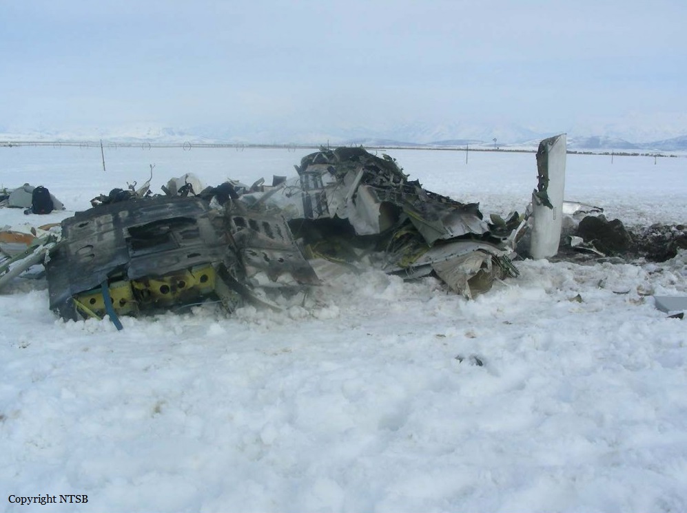
The airline transport pilot and passenger departed on a cross-country flight in instrument meteorological conditions in the light business jet. About 1 minute after departure, air traffic control instructed the pilot to climb and maintain an altitude of 14,000 ft mean sea level (msl). About 3 minutes later, the pilot stated that the airplane's flight management system (FMS) had failed. Shortly thereafter, he requested a climb and stated that he was "trying to get to clear skies." Over the next several minutes, the controller provided the pilot with headings and altitudes to vector the airplane into visual meteorological conditions. During this time, and over the course of several transmissions, the pilot stated that he was "losing instruments," was hand-flying the airplane (likely indicating the autopilot was inoperative), and that he wanted to "get clear of the weather." Radar data indicated that, during the 10-minute flight, the airplane conducted a series of climbs and descents with large variations in airspeed. About 2 minutes before the loss of radar contact, the airplane entered a climbing right turn, reaching its highest altitude of about 21,000 ft, before it began a rapidly descending and tightening turn. Performance data revealed that, during this turn, the airplane entered a partially-inverted attitude, exceeded its design maneuvering speed, and reached a peak descent rate of about 36,000 ft per minute. Radar contact was lost at an altitude of about 16,000 ft msl, and the airplane subsequently experienced an inflight breakup. The wreckage was distributed over a debris path that measured about 3/4-mile long and about 1/3-mile wide. Postaccident examination and testing of various flight instruments did not indicate what may have precipitated the inflight anomalies that the pilot reported prior to the loss of control. Additionally, all airframe structural fractures were consistent with ductile overload, and no evidence of any preexisting condition was noted with the airframe or either engine. The airplane was equipped with three different sources of attitude information, all three of which were powered by separate sources. It is unlikely that all three sources would fail simultaneously. In the event the pilot experienced a dual failure of attitude instrumentation on both the pilot and copilot sides, airplane control could have been maintained by reference to the standby attitude indicator. Further, the pilot would have been afforded heading information from the airplane's standby compass. Although the pilot did not specifically state to the controller the nature of the difficulties he was experiencing nor, could the investigation identify what, if any, anomalies the pilot may have observed of the airplane's flight instruments, the pilot clearly perceived the situation as one requiring an urgent ascent to visual conditions. As a single pilot operating without the assistance of an additional crewmember in a high-workload, high-stress environment, the pilot would have been particularly susceptible to distraction and, ultimately, a loss of airplane control due to spatial disorientation.
Probable cause:
The pilot's loss of control due to spatial disorientation while operating in instrument meteorological conditions, which resulted in an exceedance of the airplane's design stress limitations, and a subsequent in-flight breakup. Contributing to the accident was the pilot's reported inflight instrumentation anomaly, the origin of which could not be determined during the investigation.
Final Report:

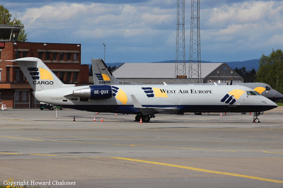
Crash of a Canadair Regional Jet CRJ-200PF near Akkajaure Lake: 2 killed

Date & Time: Jan 8, 2016 at 0020 LT
Operator:
Registration:
SE-DUX
Flight Phase:
Flight Type:
Survivors:
No
Site:
Schedule:
Oslo – Tromsø
MSN:
7010
YOM:
1993
Flight number:
SWN294
Country:
Region:
Crew on board:
2
Crew fatalities:
Pax on board:
0
Pax fatalities:
Other fatalities:
Total fatalities:
2
Captain / Total flying hours:
3365
Captain / Total hours on type:
2208.00
Copilot / Total flying hours:
3232
Copilot / Total hours on type:
1064
Aircraft flight hours:
38601
Aircraft flight cycles:
31036
Circumstances:
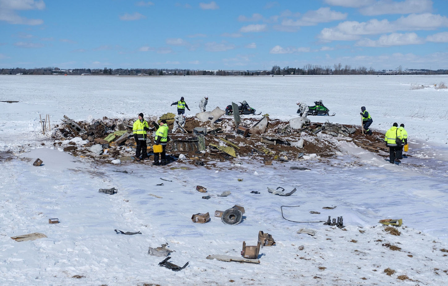
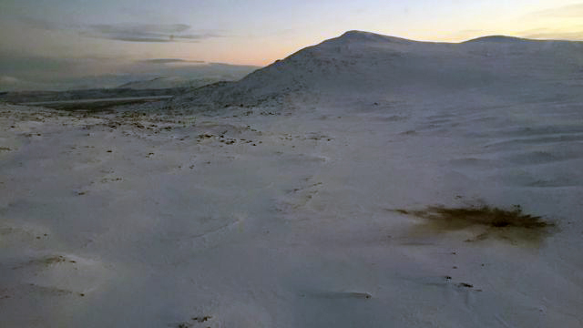
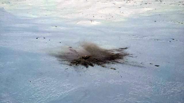
The flight was uneventful until the start of the event, which occurred during the approach briefing in level flight at FL 330. The event started at 00:19:20 hrs during darkness without moonlight, clouds or turbulence. The lack of external visual references meant that the pilots were totally dependent on their instruments which, inter alia consisted of three independent attitude indicators. According to recorded data and simulations a very fast increase in pitch was displayed on the left attitude indicator. The pilot in command, who was the pilot flying and seated in the left seat exclaimed a strong expression. The displayed pitch change meant that the pilot in command was subjected to a surprise effect and a degradation of spatial orientation The autopilot was, most probably, disconnected automatically, a “cavalry charge” aural warning and a single chime was heard, the latter most likely as a result of miscompare between the left and right pilots’ flying displays (PFD). Both elevators moved towards nose down and nose down stabilizer trim was gradually activated from the left control wheel trim switch. The airplane started to descend, the angle of attack and G-loads became negative. Both pilots exclaimed strong expressions and the co-pilot said “come up”. About 13 seconds after the start of the event the crew were presented with two contradictory attitude indicators with red chevrons pointing in opposite directions. At the same time none of the instruments displayed any comparator caution due to the PFDs declutter function in unusual attitude. Bank angle warnings were heard and the maximum operating speed and Mach number were exceeded 17 seconds after the start of the event, which activated the overspeed warning. The speed continued to increase, a distress call was transmitted and acknowledged by the air traffic control and the engine thrust was reduced to flight idle. The crew was active during the entire event. The dialogue between the pilots consisted mainly of different perceptions regarding turn directions. They also expressed the need to climb. At this stage, the pilots were probably subjected to spatial disorientation. The aircraft collided with the ground one minute and twenty seconds after the initial height loss. The two pilots were fatally injured and the airplane was destroyed.
Probable cause:
The erroneous attitude indication on PFD 1 was caused by a malfunction of the Inertial Reference Unit (IRU 1). The pitch and roll comparator indications of the PFDs were removed when the attitude indicators displayed unusual attitudes. In the simulator, in which the crew had trained, the corresponding indications were not removed. During the event the pilots initially became communicatively isolated from each other. The current flight operational system lacked essential elements which are necessary. In this occurrence a system for efficient communication was not in place. SHK considers that a general system of initial standard calls for the handling of abnormal and emergency procedures and also for unusual and unexpected situations should be incorporated in commercial aviation. The accident was caused by insufficient operational prerequisites for the management of a failure in a redundant system.
Contributing factors were:
- The absence of an effective system for communication in abnormal and emergency situations,
- The flight instrument system provided insufficient guidance about malfunctions that occurred,
- The initial maneuver that resulted in negative G-loads probably affected the pilots' ability to manage the situation in a rational manner.
Final Report:

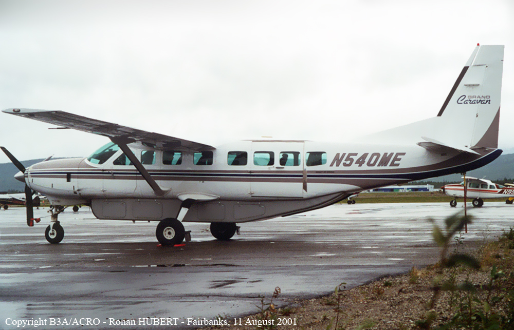
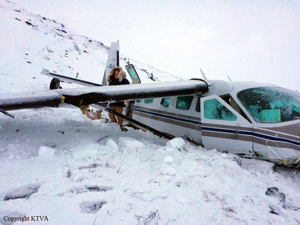
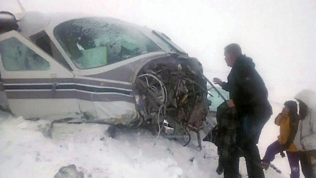
Crash of a Cessna 208B Grand Caravan near Anaktuvuk Pass

Date & Time: Jan 2, 2016 at 1205 LT
Type of aircraft:
Operator:
Registration:
N540ME
Flight Phase:
Survivors:
Yes
Site:
Schedule:
Fairbanks - Anaktuvuk Pass
MSN:
208B-0540
YOM:
1996
Crew on board:
1
Crew fatalities:
Pax on board:
7
Pax fatalities:
Other fatalities:
Total fatalities:
0
Captain / Total flying hours:
8854
Captain / Total hours on type:
4142.00
Aircraft flight hours:
19555
Circumstances:
The airline transport pilot was conducting a scheduled passenger flight in an area of remote, snow-covered, mountainous terrain with seven passengers on board. The pilot reported that, after receiving a weather briefing, he chose to conduct the flight under visual flight rules (VFR). While en route about 10,000 ft mean sea level (msl), the visibility began "getting fuzzy." The pilot then descended the airplane to 2,500 ft msl (500 ft above ground level) to fly along a river. When the airplane was about 10 miles southwest of the airport, he climbed the airplane to about 3,000 ft msl in order to conduct a straight-in approach to the runway. He added that the visibility was again a little "fuzzy" due to snow and clouds, and that he never saw the airport. The pilot also noted that the flat light conditions limited his ability to determine his distance from the surrounding mountainous, snow-covered terrain. Shortly after climbing to 3,000 ft msl, the airplane collided with the rising terrain about 6 miles southwest of the airport. Another pilot, who had just departed from the airport, confirmed that flat light and low-visibility conditions existed in the area at the time of the accident. Further, camera images of the weather conditions recorded at the airport showed that, although conditions were marginal VFR at the surface at the time of the accident, there was mountain obscuration and reduced visibility due to light snow and clouds along the accident flight path and that the worst conditions were located along and near the higher terrain. The pilot reported no preimpact mechanical malfunctions or failures with the airplane that would have precluded normal operation. It is likely that that the pilot encountered flat light and low-visibility conditions as he neared the airport at 3,000 ft msl while operating under VFR and that he did not see the rising, snow-covered mountainous terrain and subsequently failed to maintain clearance from it.
Probable cause:
The pilot's continued flight into deteriorating, flat light weather conditions, which resulted in impact with mountainous, snow-covered terrain.
Final Report:

Crash of a Cessna 402B off Barcelona

Date & Time: Dec 28, 2015 at 1115 LT
Type of aircraft:
Operator:
Registration:
YV3101
Flight Phase:
Flight Type:
Survivors:
Yes
Schedule:
Porlamar – Charallave
Country:
Crew on board:
1
Crew fatalities:
Pax on board:
2
Pax fatalities:
Other fatalities:
Total fatalities:
0
Circumstances:
En route from Porlamar to Charallave, while cruising at an altitude of 3,000 feet, both engines failed simultaneously. The pilot reduced his altitude and ditched the aircraft 33 km north of Barcelona. All three occupants evacuated safely and found refuge in a lifeboat. They were rescued an hour later by Venezuelan coastguard. The aircraft sank and was lost.

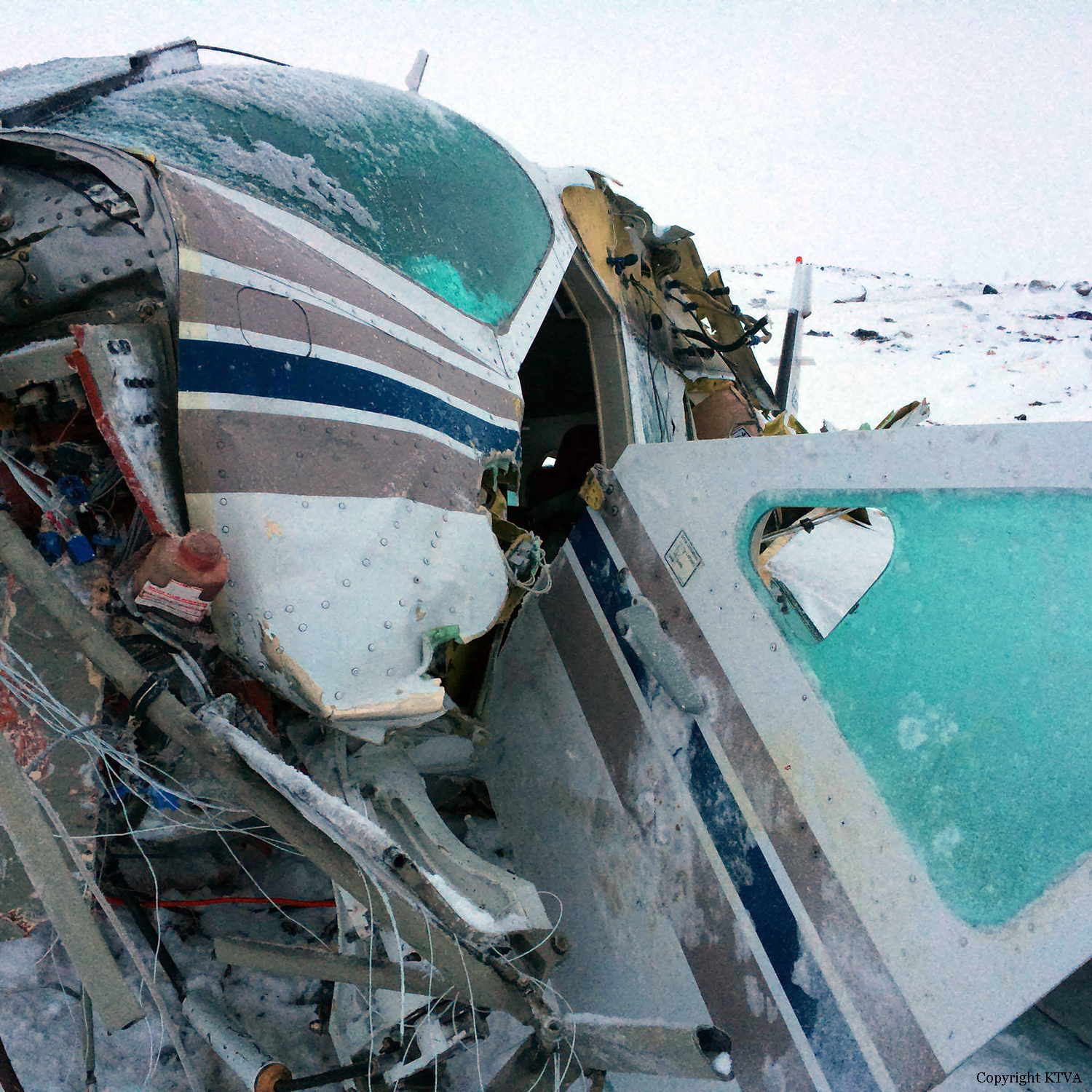
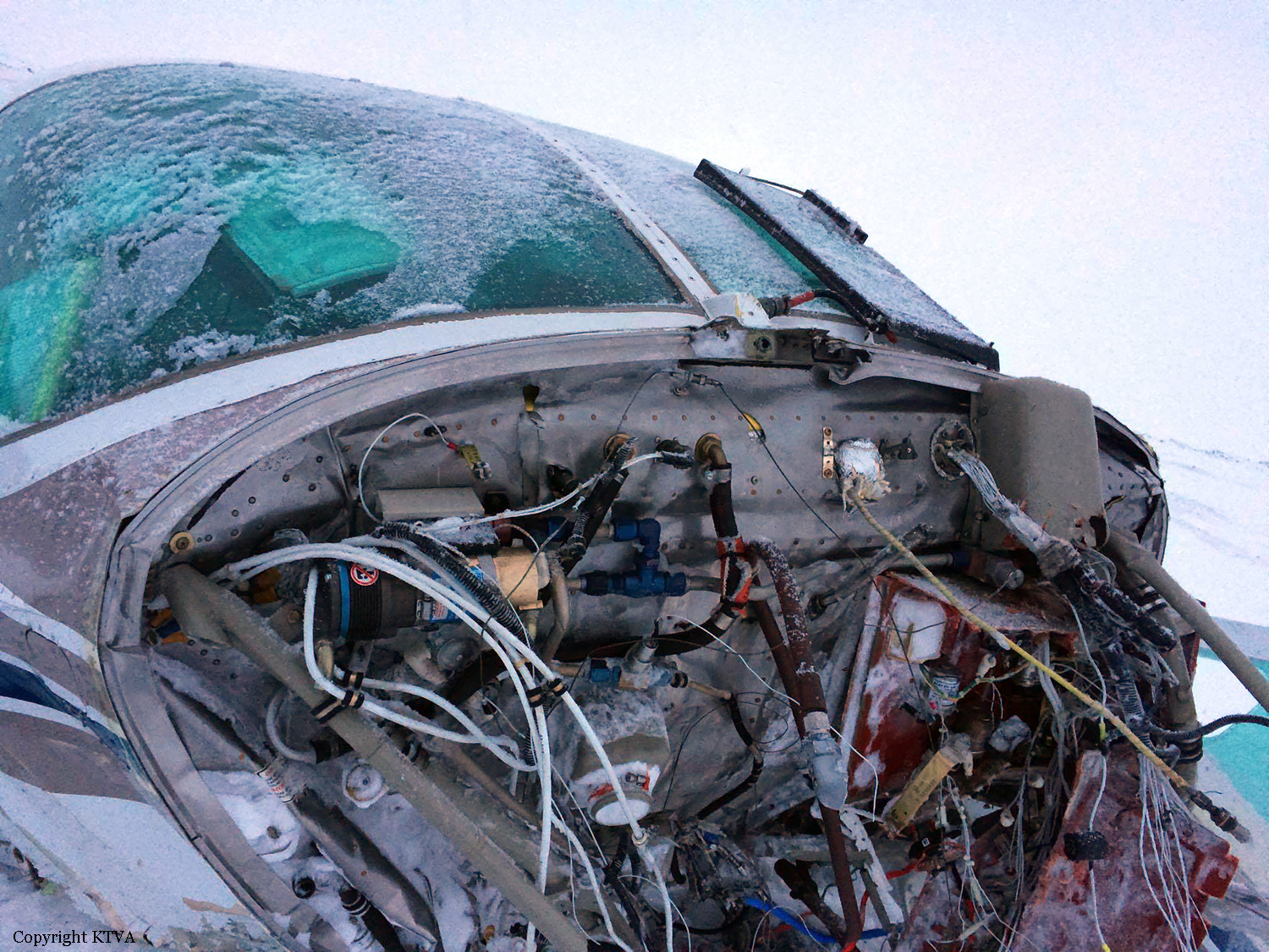
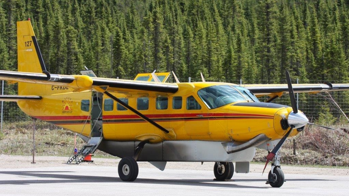
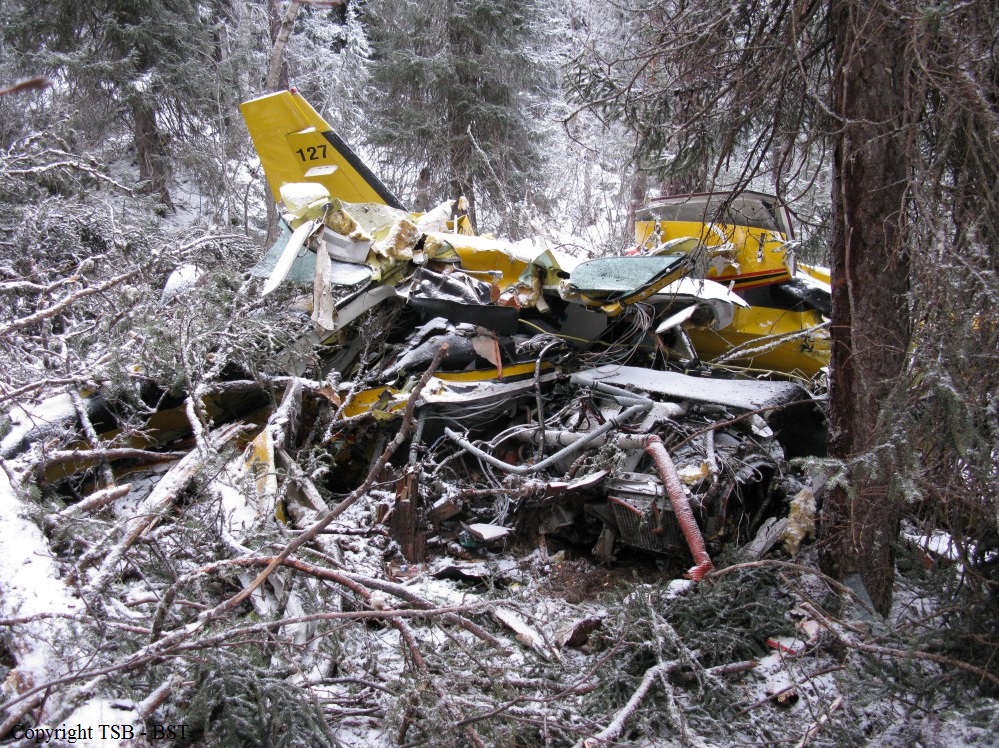
Crash of a Cessna 208B Grand Caravan near Pickle Lake: 1 killed

Date & Time: Dec 11, 2015 at 0909 LT
Type of aircraft:
Operator:
Registration:
C-FKDL
Flight Phase:
Flight Type:
Survivors:
No
Schedule:
Pickle Lake – Angling Lake
MSN:
208B-0240
YOM:
1990
Flight number:
WSG127
Country:
Crew on board:
1
Crew fatalities:
Pax on board:
0
Pax fatalities:
Other fatalities:
Total fatalities:
1
Captain / Total flying hours:
2990
Captain / Total hours on type:
245.00
Aircraft flight hours:
36073
Aircraft flight cycles:
58324
Circumstances:
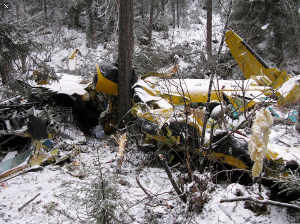
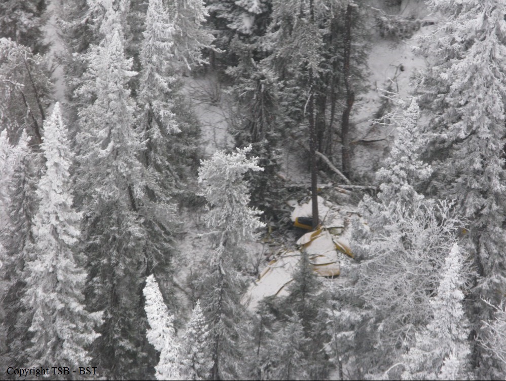
On 11 December 2015, the pilot of Wasaya Airways Limited Partnership (Wasaya) flight 127 (WSG127) reported for duty at the Wasaya hangar at Pickle Lake Airport (CYPL), Ontario, at about 0815. The air taxi flight was to be the first of 3 cargo trips in the Cessna 208B Caravan (registration C-FKDL, serial number 208B0240) planned from CYPL to Angling Lake / Wapekeka Airport (CKB6), Ontario. The first flight was planned to depart at 0900. The pilot went to the Wasaya apron and conducted a pre-flight inspection of C-FKDL while a ground crew was loading cargo. A Wasaya aircraft fuel-handling technician confirmed with the pilot that the planned fuel load was 600 pounds per wing of Jet A fuel. After completing the fueling, the technician used the cockpit fuel-quantity indicators to verify that the distribution was 600 pounds per wing. The pilot returned to the hangar and received a briefing from the station manager regarding the planned flights. The pilot was advised that the first officer assigned to the flight had been reassigned to other duties in order to increase the aircraft’s available payload and load a snowmobile on board. The pilot completed and signed a Wasaya flight dispatch clearance (FDC) form for WSG127, and filed a copy of it, along with the flight cargo manifests, in the designated location in the company operations room. The FDC for WSG127 showed that the flight was planned to be conducted under visual flight rules (VFR), under company flight-following, at an altitude of 5500 feet above sea level (ASL). Time en route was calculated to be 66 minutes, with fuel consumption of 413 pounds. The pilot returned to the aircraft on the apron. Loading and fueling were complete, and the pilot conducted a final walk-around inspection of C-FKDL. Before entering the cockpit, the pilot conducted an inspection of the upper wing surface. At 0854, the pilot started the engine of C-FKDL and conducted ground checks for several minutes. At 0858, the pilot advised on the mandatory frequency (MF), 122.2 megahertz (MHz), that WSG127 was taxiing for departure from Runway 09 at CYPL. WSG127 departed from Runway 09 at 0900, and, at 0901, the pilot reported on the MF that the flight was airborne. The flight climbed eastward for several miles and then turned left toward the track to CKB6. At about 3000 feet ASL, WSG127 briefly descended about 100 feet over 10 seconds, and then resumed climbing. At 0905, the pilot reported on the MF that WSG127 was clear of the MF zone. WSG127 intercepted the track to CKB6 and climbed northward until the flight reached a peak altitude of about 4600 feet ASL at 0908:41, and then began descending at 0908:46. At 0909:16, the flight made a sharp right turn of about 120° as it descended through about 4000 feet ASL. At 0909:39, the descent ended at about 2800 feet and the aircraft climbed to about 3000 feet ASL before again beginning to descend. At approximately 0910, WSG127 collided with trees and terrain at an elevation of 1460 feet ASL during daylight hours.
Probable cause:
Findings as to causes and contributing factors:
1. Although the aircraft was prohibited from flying in known or forecast icing conditions, Wasaya Airways Limited Partnership (Wasaya) flight 127 (WSG127) was dispatched into forecast icing conditions.
2. The high take-off weight of WSG127 increased the severity of degraded performance when the flight encountered icing conditions.
3. The pilot of WSG127 continued the flight in icing conditions for about 6 minutes, resulting in progressively degraded performance.
4. WSG127 experienced substantially degraded aircraft performance as a result of ice accumulation, resulting in aerodynamic stall, loss of control, and collision with terrain.
5. The Type C pilot self-dispatch procedures and practices in use at Wasaya at the time of the occurrence did not ensure that operational risk was managed to an acceptable level.
6. Wasaya had not implemented all of the mitigation strategies from its January 2015 risk assessment of Cessna 208B operations in known or forecast icing conditions, and the company remained exposed to some unmitigated hazards that had been identified in the risk assessment.
7. There was a company norm of dispatching Cessna 208B flights into forecast icing conditions, although 4 of Wasaya’s 5 Cessna 208B aircraft were prohibited from operating in these conditions.

Findings as to risk:
1. Without effective risk-management processes, aircraft may continue to be dispatched into forecast or known icing conditions that exceed the operating capabilities of the aircraft, increasing the risk of degraded aircraft performance or loss of control.
2. If pilots operating under self-dispatch do not have adequate tools to complete an operational risk assessment before releasing a flight, there is an increased likelihood that hazards will not be identified or adequately mitigated.
3. If aircraft that are not certified for flight in known or forecast icing conditions are dispatched into, and encounter, such conditions, there is an increased risk of degraded performance or loss of control.
4. If aircraft that are certified for flight in known or forecast icing conditions are dispatched into, and encounter, such conditions, at weights exceeding limitations, there is an increased risk of loss of control.
5. If flights are continued in known icing conditions in aircraft that are not certified to do so, there is an increased risk of degraded aircraft performance and loss of control.
6. If operators exceed aircraft manufacturers’ recommended ICEX II servicing intervals, there is an increased risk of degraded aircraft performance or loss of control resulting from greater accretion of ice on the leading-edge de-icing and propeller blade anti-icing boots.
7. If pilots do not receive the minimum required training, there is an increased risk that they will lack the necessary technical knowledge to operate aircraft safely.
8. If pilots are not provided with the information they need to calculate the aircraft’s centre of gravity accurately, they risk departing with their aircraft’s centre of gravity outside the limits, which can lead to loss of control.
9. If emergency locator transmitter antennas and cable connections are not robust enough to survive impact forces, potentially life-saving search-and-rescue operations may be impaired by the absence of a usable signal.

Other findings:
1. Wasaya’s use of a satellite aircraft flight-following system provided early warning of WSG127’s abnormal status and an accurate last known position for search-and-rescue operations.
2. The investigation could not determine whether the autopilot had been used by the pilot of WSG127 at any time during the flight.
Final Report: