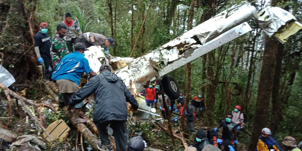
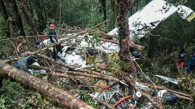
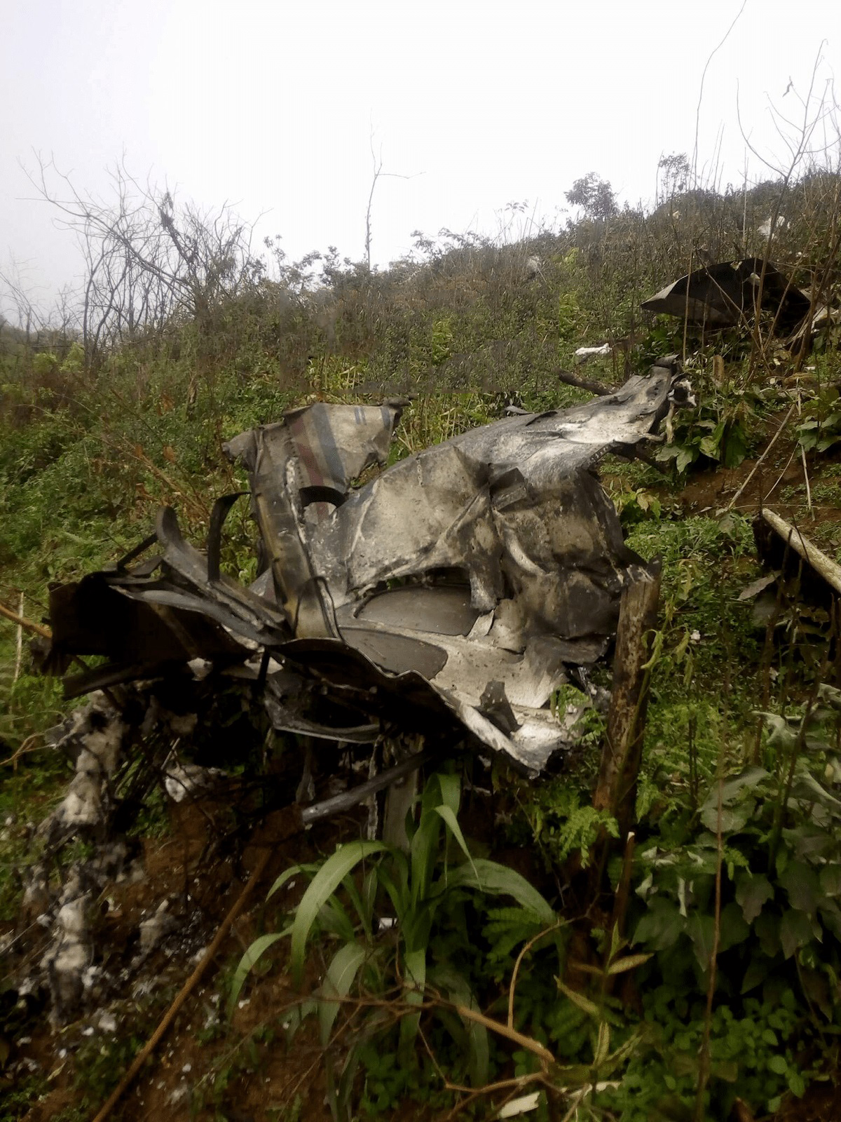
Crash of a Pacific Aerospace PAC 750XL near Oksibil: 8 killed

Date & Time: Aug 11, 2018 at 1420 LT
Operator:
Registration:
PK-HVQ
Survivors:
Yes
Site:
Schedule:
Tanah Merah – Oksibil
MSN:
144
YOM:
2009
Country:
Region:
Crew on board:
2
Crew fatalities:
Pax on board:
7
Pax fatalities:
Other fatalities:
Total fatalities:
8
Captain / Total flying hours:
13665
Captain / Total hours on type:
1468.00
Aircraft flight hours:
4574
Aircraft flight cycles:
5227
Circumstances:
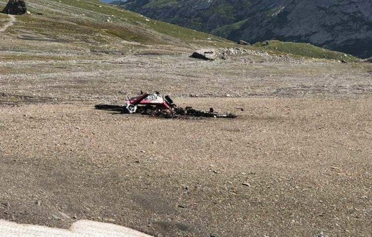
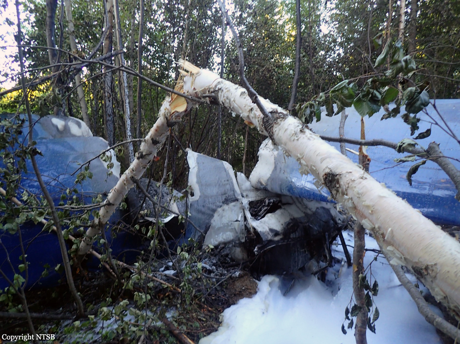
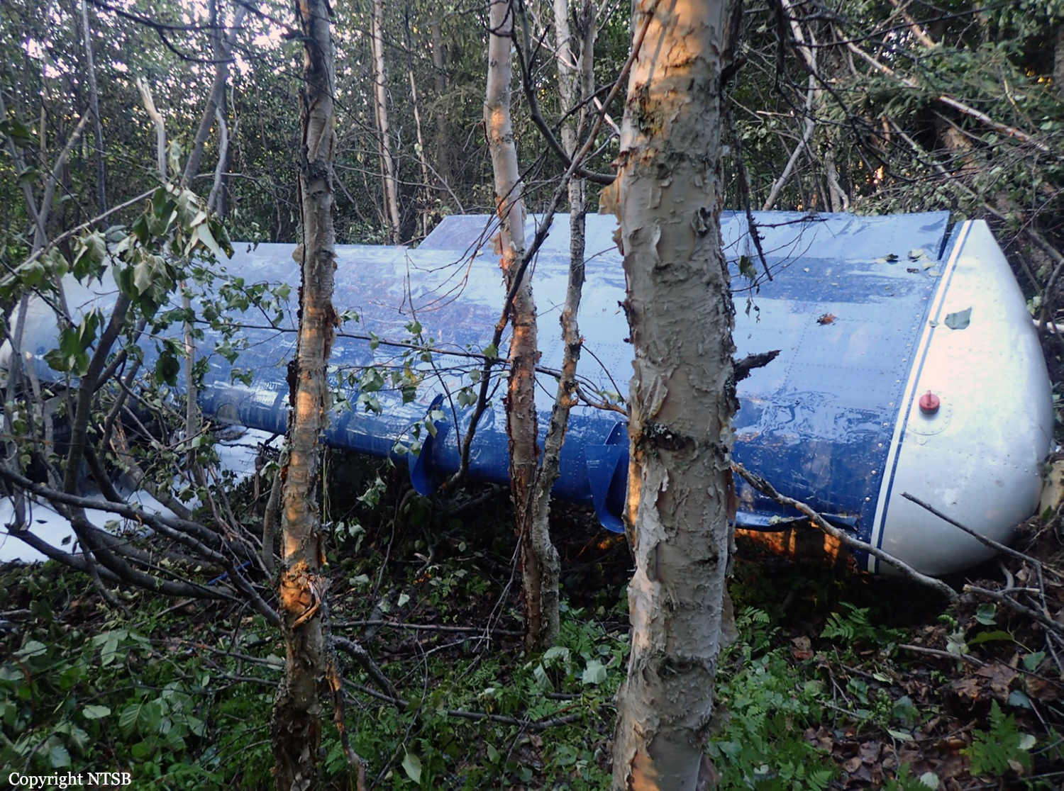
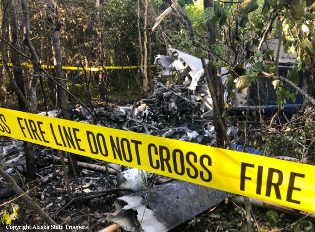
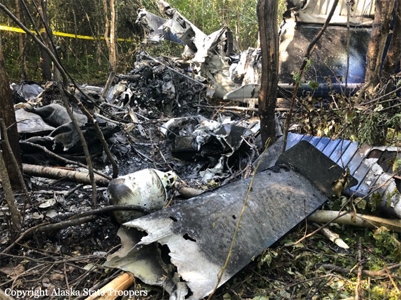
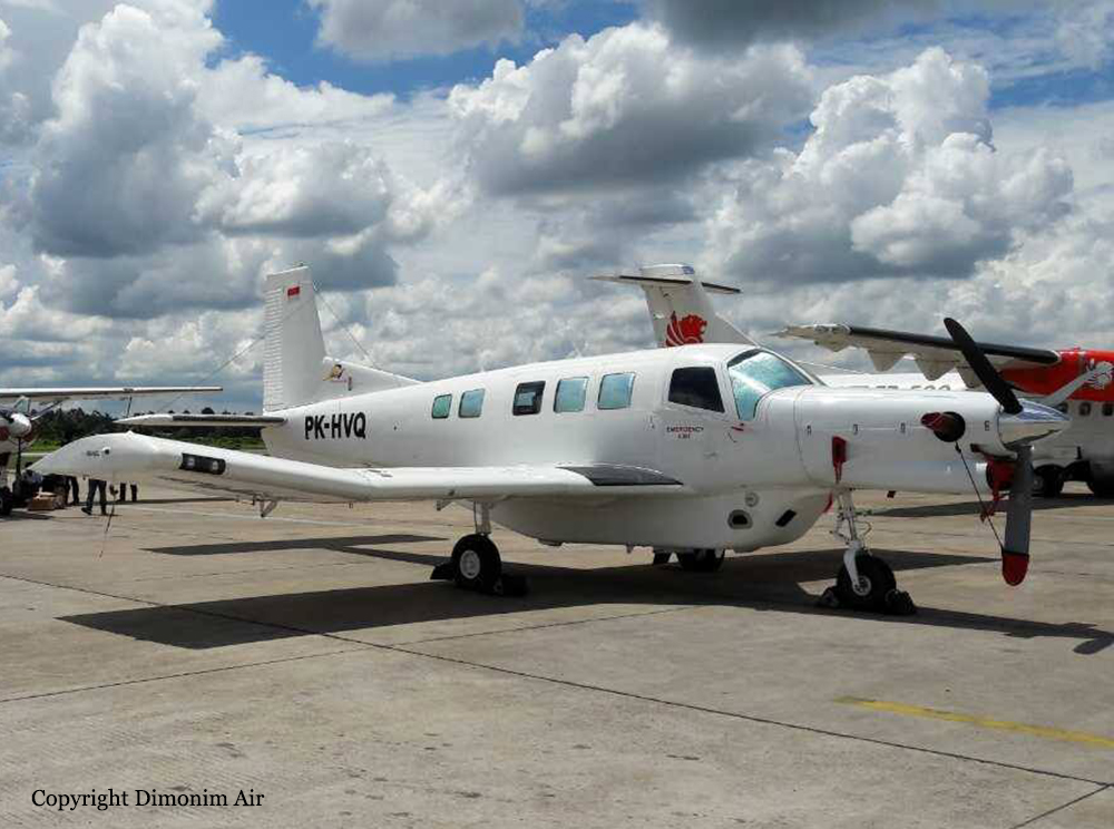
On 11 August 2018, a PAC 750XL aircraft registered PK-HVQ was being operated by PT. Marta Buana Abadi (Dimonim Air) on unscheduled passenger flight from Tanah Merah to Oksibil. At the day of the occurrence the meteorological condition at Oksibil was below the requirement of Visual Flight Rule (VFR) weather minima and did not improve. Being aware that some flights had performed flight to Tanah Merah to Oksibil and returned, the pilot decided to fly to Oksibil. At 1342 LT, on daylight condition the PK-HVQ aircraft departed from Tanah Merah to Oksibil, on board the aircraft were one pilot, one observer pilot and 7 passengers. According to the passenger and cargo manifest, the total weight of passenger and the baggage were 473 kg. Prior to the departure, there was no record or report of aircraft system malfunction. At 1411 LT, the PK-HVQ pilot made initial contact to Oksibil Tower controller and reported that the aircraft was maintaining altitude of 7,000 feet over and the estimate time arrival at Oksibil would be 0520 UTC (1420 LT). The Oksibil Tower controller advised the pilot of the latest meteorological condition that the visibility was 1 up to 2 km and most of the area were covered by cloud. At 1416 LT, the pilot reported that the aircraft position was over Oksibil Aiport and the Oksibil Tower controller instructed the pilot to continue the flight to the final runway 11 and to report when the runway had in sight. The Oksibil Tower controller and pilots of other aircraft called the pilot but no reply. On the following day, the aircraft was found on a ridge of mountain about 3.8 Nm north west of Oksibil on bearing 331° with elevation about 6,800 feet. Eight occupants were fatally injured and one occupant was seriously injured.
Probable cause:
The KNKT concluded the contributing factors as follows:
- The VFR weather minimum requirement that was not implemented properly most likely had made the pilot did not have a clear visual to the surrounding area.
- Considering that the Pilot in Command (PIC) had lack knowledge of the terrain surrounding the Oksibil area, and the absence of voice alert from the TAWS when the aircraft flying close to terrain, resulted in the PIC did not have adequate awareness to the surrounding terrain while flying into clouds and continued to fly below the terrain height until the aircraft impacted the terrain.
Final Report:

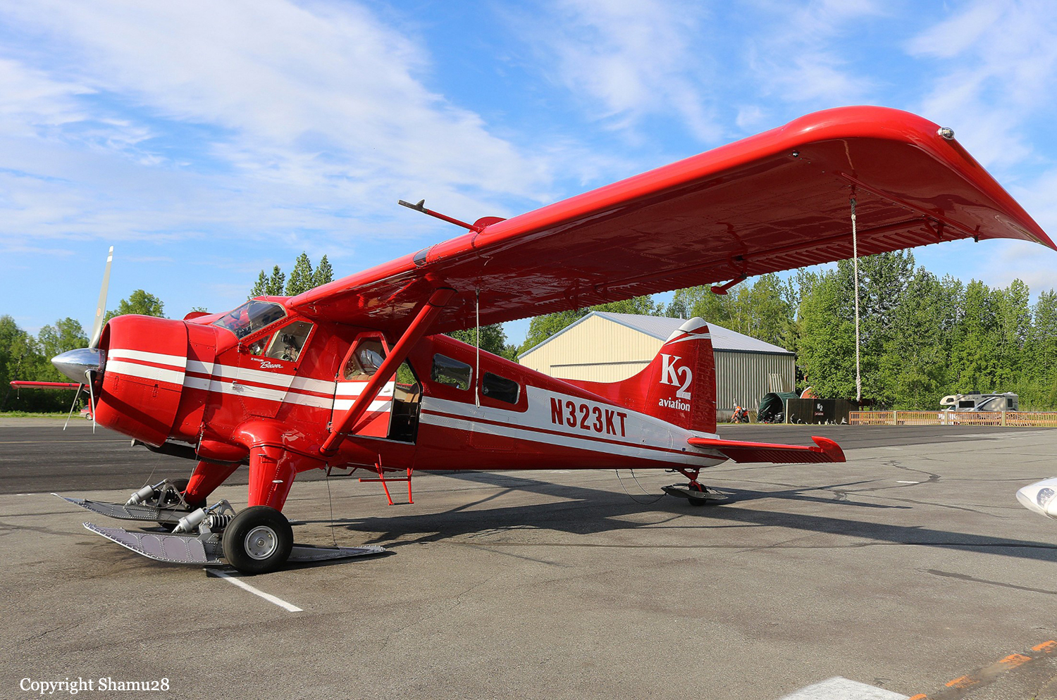
Crash of a De Havilland DHC-2 Beaver I on Mt Kahiltna: 5 killed

Date & Time: Aug 4, 2018 at 1753 LT
Type of aircraft:
Operator:
Registration:
N323KT
Flight Phase:
Survivors:
No
Site:
Schedule:
Talkeetna - Talkeetna
MSN:
1022
YOM:
1957
Crew on board:
1
Crew fatalities:
Pax on board:
4
Pax fatalities:
Other fatalities:
Total fatalities:
5
Captain / Total flying hours:
2550
Captain / Total hours on type:
346.00
Aircraft flight hours:
15495
Circumstances:
The commercial pilot was conducting a 1-hour commercial air tour flight over Denali National Park and Preserve with four passengers on board. About 48 minutes after departure, the Alaska Rescue Coordination Center received an alert from the airplane's emergency locator transmitter. About 7 minutes later, company personnel received a call from the pilot, who reported that the airplane had run "into the side of a mountain." Although a search was initiated almost immediately, due to poor weather conditions in the area, the wreckage was not located until almost 36 hours later in a crevasse on a glacier about 10,920 ft mean sea level. Due to the unique challenges posed by the steepness of terrain, the crevasse, avalanche hazard, and the condition of the airplane, neither the occupants nor the wreckage were recovered from the accident site. A weather model sounding for the area of the accident site estimated broken cloud bases at 700 ft above ground level (agl) with overcast clouds at 1,000 ft agl and cloud tops to 21,000 ft agl and higher clouds above. The freezing level was at 9,866 ft and supported light-to-moderate rime type icing in clouds and precipitation. The on-scene assessment indicated that the right wing impacted snow while the airplane was flying in a wings-level attitude; the right wing had separated from the remainder of the wreckage. Based upon available weather data and forecast models and the impact evidence, it is likely that the pilot entered an area of reduced visibility and was unable to see the terrain before the airplane's right wing impacted the snow. The company's organizational structure was such that one group of management personnel oversaw operations in both Anchorage and Talkeetna. Interviews with company management revealed that they were not always aware of the exact routing a pilot would take for a tour; the route was pilot's discretion based upon the weather at the time of the flight to provide the best tour experience. Regarding risk mitigation, the company did not utilize a formal risk assessment process, but rather relied on conversations between pilots and flight followers. This could lead to an oversight of actual risk associated with a particular flight route and weather conditions. About 8 months after the accident, an assessment flight conducted by the National Park Service determined that during the winter, the hazardous hanging glacier at the accident site calved, releasing an estimated 4,000 to 6,000 tons of ice and debris. There was no evidence of the airplane wreckage near the crash site, in the steep fall line, or on the glacier surface over 3,600 ft below. Although the known circumstances of the accident are consistent with a controlled flight into terrain event, the factual information available was limited because the wreckage was not recovered and no autopsy or toxicology of the pilot could be performed; therefore, whether other circumstances may have contributed to the accident could not be determined.
Probable cause:
Impact with terrain for reasons that could not be determined because the airplane was not recovered due to the inaccessible nature of the accident site.
Final Report:

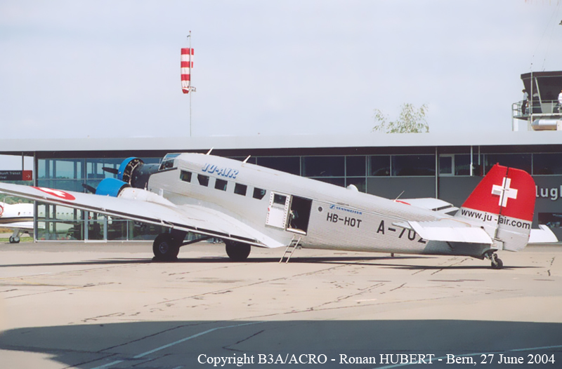
Crash of a Junkers JU.52/3mg4e in Piz Segnas: 20 killed

Date & Time: Aug 4, 2018 at 1657 LT
Type of aircraft:
Operator:
Registration:
HB-HOT
Flight Phase:
Survivors:
No
Site:
Schedule:
Locarno - Dübendorf
MSN:
6595
YOM:
1939
Country:
Region:
Crew on board:
3
Crew fatalities:
Pax on board:
17
Pax fatalities:
Other fatalities:
Total fatalities:
20
Captain / Total flying hours:
20714
Captain / Total hours on type:
297.00
Copilot / Total flying hours:
19751
Copilot / Total hours on type:
945
Aircraft flight hours:
10189
Circumstances:
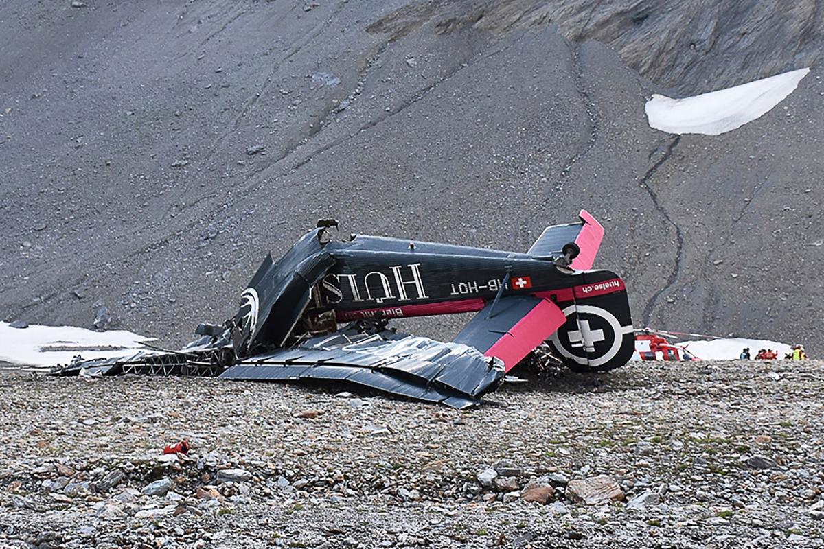
At 16:14 on 4 August 2018, the historic Junkers Ju 52/3m g4e commercial aircraft, registered as HB-HOT and operated by Ju-Air, took off from Locarno Aerodrome (LSZL) for a commercial VFR flight to Dübendorf (LSMD). On this flight, pilot A was sitting in the left-hand seat in the cockpit and piloting the aircraft as the commander, while pilot B was assisting him as the co-pilot sitting on the right. Following take-off from concrete runway 26R westwards and a 180-degree turn over Lake Maggiore, the flight led into the Blenio valley via Bellinzona and Biasca. HB-HOT steadily gained altitude in the process. North of Olivone, the aircraft turned into the valley of the Lago di Luzzone reservoir and thus into the Adula/Greina/Medels/Vals countryside preservation quiet zone. This zone was crossed at between 120 and 300 m above ground and at times with a minimal lateral separation from the terrain. At 16:45, as the aircraft was flying over Alp Nadels, the ISP sent a text message to a friend in Ruschein (municipality of Ilanz) to say that the Ju 52 was approaching the area. The flight subsequently continued eastwards into the Surselva region at approximately 2,500 m AMSL. At 16:51, the aircraft crossed the Vorderrhein valley in the region of Ilanz on a north-easterly heading and initially made a relatively tight left turn, taking it over Ruschein. The flight path then led generally northwards past the Crap Sogn Gion mountain and towards the basin south-west of Piz Segnas. At first, the aircraft approached this basin on the left-hand, western side of the valley. HB-HOT was climbing at this time, and reached an altitude of 2,833 m AMSL in the Nagens region. The aircraft made a slight right turn when flying past the Berghaus Nagens lodge (see figure 2). During this phase, at 16:55, one of the pilots informed the passengers of the scenery over the speakers in the cabin and through the passengers’ personal headphones. To start with, the aircraft was flying at a ground speed of 165 km/h during this phase. By point F2, the ground speed had decreased to 135 km/h, and roughly remained so until shortly before point F3. Towards point F3, the aircraft’s altitude dropped slightly and the ground speed briefly increased by around 65 km/h to approximately 200 km/h. During this time, its pitch attitude3 was 5 to 7 degrees. Towards the end of this phase, just before point F4, the flight path angle4 changed from -3 degrees to approximately -1 degree and the speed of each of the three engines decreased steadily by approximately 20 revolutions per minute (rpm). At point F4, the aircraft was at an altitude of 2,742 m AMSL. At 16:56:02, shortly after point F4, the speed of each of the three engines increased by approximately 40 rpm. At 16:56:09, HB-HOT entered the basin southwest of Piz Segnas at an altitude of 2,755 m AMSL (point F5, see also figure 14) and was therefore approximately 130 m above the elevation of the Segnes pass. The flight crew then navigated the aircraft on a north-north-easterly heading almost in the centre of the valley. HB-HOT climbed slightly during this phase and its flight path angle was approximately 2 degrees; its pitch angle remained at 5 to 7 degrees. At 16:56:17, the aircraft reached an altitude of 2,767 m AMSL at point F7 and was therefore approximately 140 m above the elevation of the Segnes pass. HB-HOT flew past the Tschingelhörner mountain peaks and began to reduce in altitude, dropping more than 15 m in approximately 6 seconds. During this phase, the power of the engines was rapidly reduced by 30 to 50 rpm, which meant that the engines were increasingly running at a similar speed5 . During this process, the pitch angle increased and the flight path angle continuously became more negative. When the aircraft was approximately abeam the Martinsloch and at an altitude of approximately 2,766 m AMSL (point F8), the flight crew initiated a right turn during their descent and then made a left turn (point F109, see figure 5). The ground speed was approximately 170 km/h and the difference between the aircraft’s pitch and flight path angles increased to approximately 15 degrees during the right turn. When transitioning into the left turn (between points F9 and F10), the pitch angle was approximately 11 degrees and the flight path angle was around -10 degrees. At this time, the aircraft was flying at approximately 125 m above the elevation of the Segnes pass (see figure 3). During roughly the next 4 seconds, the aircraft descended by 25 m and the already negative flight path angle became even more negative, which is clearly apparent when comparing figures 3 and 4 as well as in figure 5. After point F13, the roll to the left increased steadily and did not decrease even when a significant aileron deflection to the right was made. The ailerons were then brought into a neutral position and temporarily deflected into a position for a left turn. At the same time, the pitch attitude began to decrease and the flight path ran increasingly steeper downwards whilst the left bank attitude constantly increased (see figure 6). During this last flight phase, the aircraft experienced low-frequency vibrations. Ultimately, when the aircraft was 108 m above ground (point F16, see figures 6 and 7), its longitudinal axis was pointing downwards by 68 degrees from horizontal. By this time, the elevator had deflected upwards by approximately 13 degrees and the rudder was pointing 2 degrees to the right. The speeds of the three engines had increased slightly compared to the beginning of the downward spiral trajectory and were between 1,720 and 1,750 rpm shortly before impact. The roll to the left accelerated significantly during this phase. Shortly after 16:57, the aircraft hit the ground in a vertical flight attitude with an almost vertical flight path and at a speed of approximately 200 km/h (see figure 8). All 20 people on board the aircraft lost their lives in the accident. The aircraft was destroyed. Fire did not break out. Reconstructions revealed that, at the time of the accident, HB-HOT’s centre of gravity was at 2.071 m behind the wing’s leading edge (see annex A1.6). In the images and video footage available that had been captured from inside HB-HOT, there was no evidence of anyone moving within the aircraft or not sitting in their seat between the period when the aeroplane entered the basin south-west of Piz Segnas and up to the beginning of its downward spiral trajectory. A detailed description of the reconstruction of the flight path and an illustration of the relevant parameters between position F1 and the site of the accident can be found in section 1.11.2. More information regarding the background and history of the flight can be found in annex A1.1.
Probable cause:
Direct cause:
The accident is attributable to the fact that after losing control of the aircraft there was insufficient space to regain control, thus the aircraft collided with the terrain.
The investigation identified the following direct causal factors of the accident:
- The flight crew piloted the aircraft in a very high-risk manner by navigating it into a narrow valley at low altitude and with no possibility of an alternative flight path.
- The flight crew chose a dangerously low airspeed as regard to the flight path. Both factors meant that the turbulence which was to be expected in such circumstances was able to lead not only to a short-term stall with loss of control but also to an unrectifiable situation.
Directly contributory factors:
The investigation identified the following factors as directly contributing to the accident:
- The flight crew was accustomed to not complying with recognized rules for safe flight operations and taking high risks.
- The aircraft involved in the accident was operated with a centre of gravity position that was beyond the rear limit. This situation facilitated the loss of control.
Systemic cause:
The investigation identified the following systemic cause of the accident:
- The requirements for operating the aircraft in commercial air transport operations with regard to the legal basis applicable at the time of the accident were
not met.
Systemically contributory factors:
The investigation identified the following factors as systemically contributing to the accident:
- Due to the air operator’s inadequate working equipment, it was not possible to calculate the accurate mass and centre of gravity of its Ju 52 aircraft.
- In particular, the air operator’s flight crews who were trained as Air Force pilots seemed to be accustomed to systematically failing to comply with generally recognized aviation rules and to taking high risks when flying Ju 52 aircraft.
- The air operator failed to identify or prevent both the deficits and risks which occurred during operations and the frequent violation of rules by its flight crews.
- Numerous incidents, including several serious incidents, were not reported to the competent bodies and authorities. This meant that they were unable to take
measures to improve safety.
- The supervisory authority failed to some extent to identify the numerous operational shortcomings and risks or to take effective, corrective action.
Other risks:
The investigation identified the following factors to risk, which had no or no demonstrable effect on the occurrence of the accident, but which should nevertheless be eliminated in order to improve aviation safety:
- The aircraft was in poor technical condition.
- The aircraft was no longer able to achieve the originally demonstrated flight performance.
- The maintenance of the air operator’s aircraft was not organized in a manner that was conducive to the objective.
- The training of flight crews with regard to the specific requirements for flight operations and crew resource management was inadequate.
- The flight crews had not been familiarized with all critical situations regarding the behavior of the aircraft in the event of a stall.
- The supervisory authority failed to identify numerous technical shortcomings or to take corrective action.
- The expertise of the individuals employed by the air operator, maintenance companies and the supervisory authority was in parts insufficient.
Final Report:

Crash of a De Havilland DHC-2 Beaver in Willow Lake: 1 killed

Date & Time: Jul 18, 2018 at 1900 LT
Type of aircraft:
Operator:
Registration:
N9878R
Flight Phase:
Survivors:
Yes
Schedule:
Willow Lake - FBI Lake
MSN:
1135
YOM:
1958
Crew on board:
1
Crew fatalities:
Pax on board:
2
Pax fatalities:
Other fatalities:
Total fatalities:
1
Captain / Total flying hours:
2685
Captain / Total hours on type:
345.00
Aircraft flight hours:
22605
Circumstances:
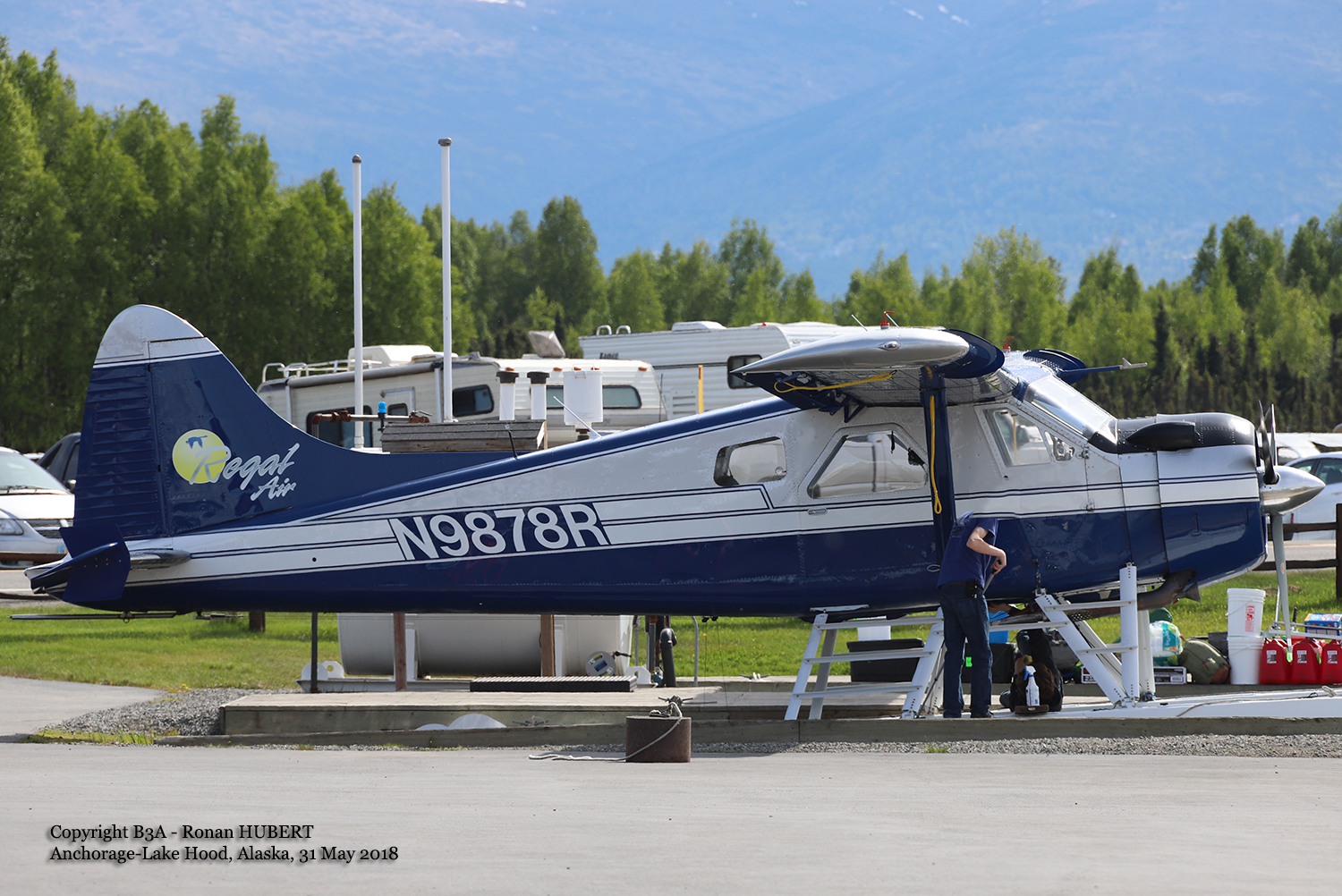
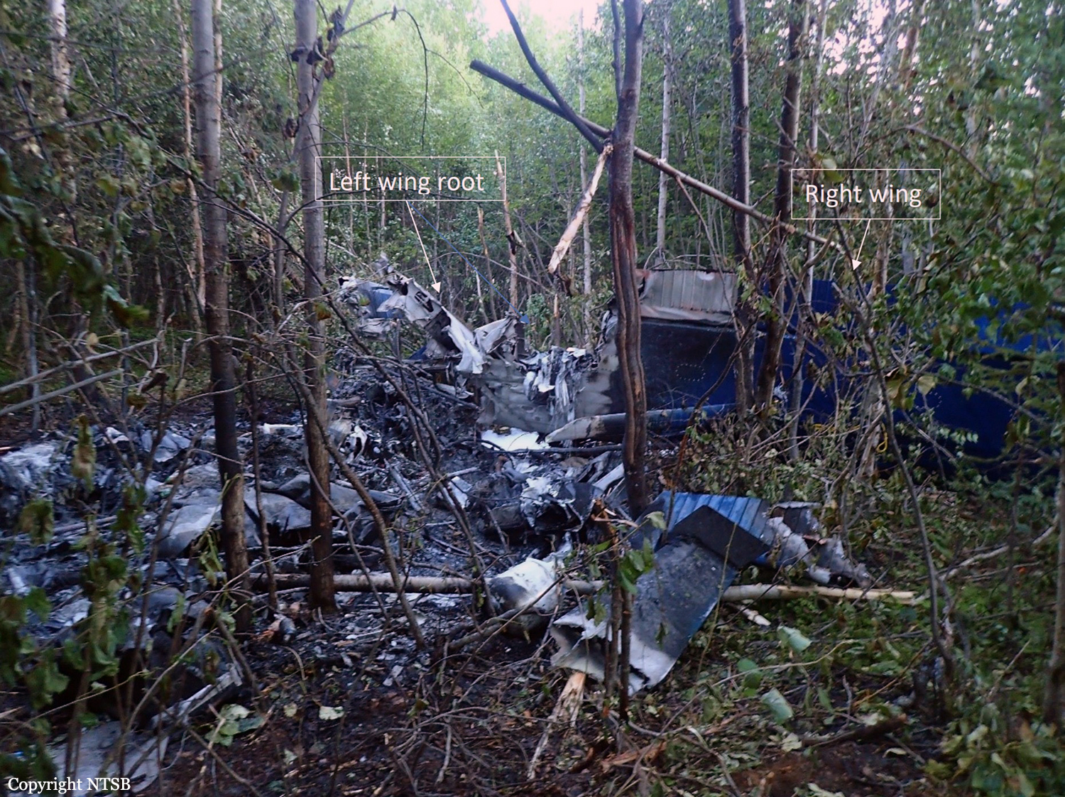
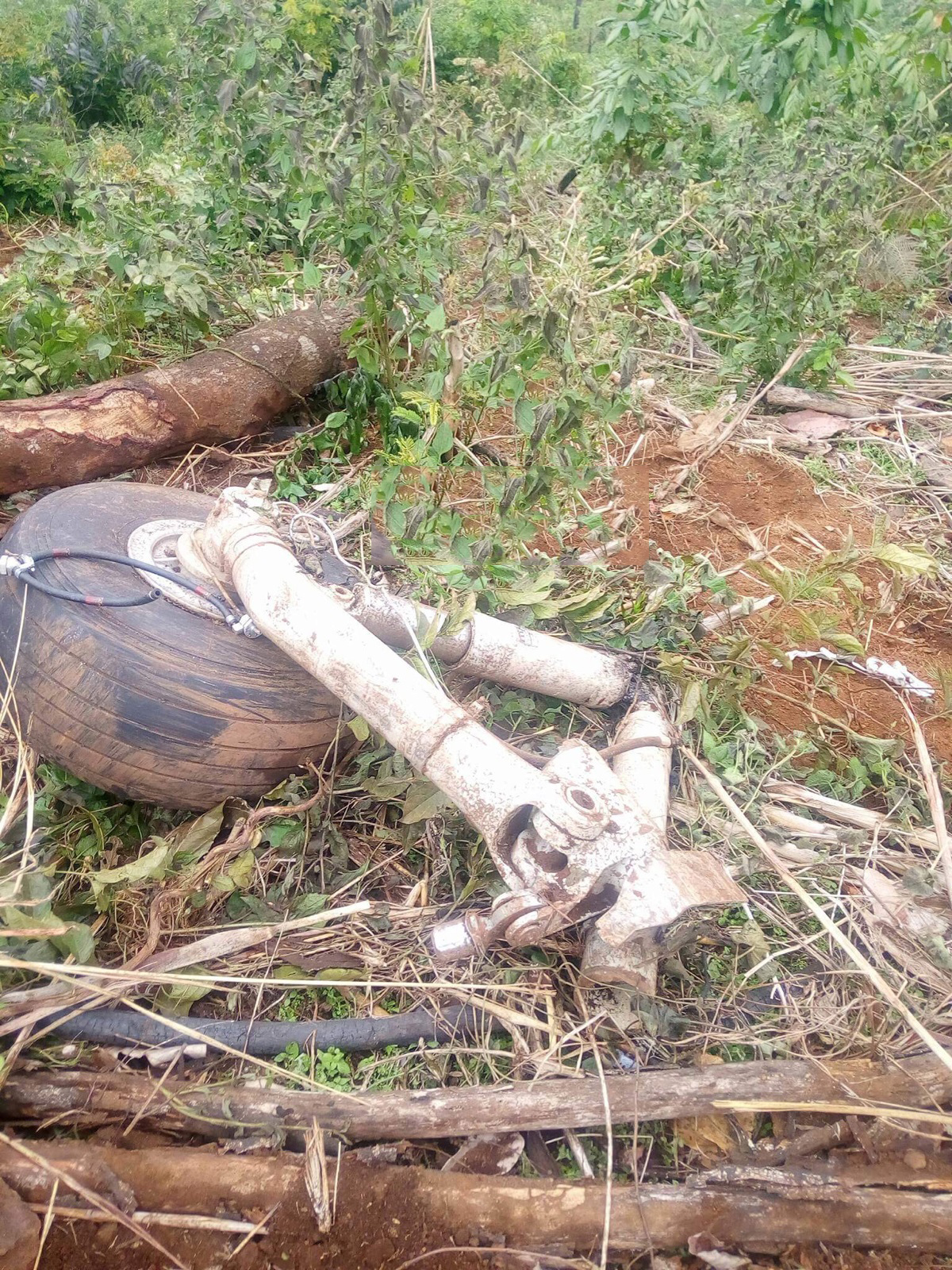
The pilot was conducting an on-demand air taxi flight in a float-equipped airplane from a seaplane base on a public lake to a remote lakeside home, with a passenger and her young son. The passenger brought cargo to transport as well, including an unexpected 800 lbs of mortar bags. Witnesses who labored to push the airplane out after loading reported that the airplane appeared very aft heavy and the pilot said he would offload "cement blocks" if he could not take off. A review of witness videos revealed that the pilot attempted one takeoff using only 3/4 of the available waterway, then step taxied around the lake and performed a step-taxi takeoff, again not using the full length of the lake. The airplane eventually lifted off, and barely climbed over trees on the south end of the lake, before descending and impacting terrain. A home surveillance video that captured the airplane seconds before the crash revealed that 3 seconds before ground impact, the estimated altitude of the airplane was 115 ft above ground level (agl) and the groundspeed was about 64 miles per hour (mph), which was low and much slower than normal climb speed (80 mph). As the airplane banked to the left to turn on course, it rolled through 90° likely experiencing an aerodynamic stall. Analysis of the engine rpm sound revealed that the engine was operating near maximum continuous power up until impact, and a postaccident examination of the airframe and engine revealed no evidence of mechanical malfunctions or failures that would have precluded normal operation. A calculation performed by investigators postaccident revealed the airplane's estimated gross weight at the time of the accident was 75 lbs over the approved maximum gross takeoff weight, and the airplane's estimated center of gravity was 1.76 inches aft of the rear limit. The pilot had been recently hired by the operator and he flew his first commercial flight in the same make and model, float-equipped airplane the week before the accident. He had accumulated 12.9 flight hours, and 13 sea landings/takeoffs in the accident model airplane since being hired as a part-time pilot. Although the airplane was able to takeoff, the aircraft's out-of-limit weight-and-balance condition increased its stall speed and degraded its climb performance, stability, and slow-flight characteristics. When the pilot turned the airplane left, the critical angle of attack was exceeded resulting in an aerodynamic stall at low altitude. If the pilot had performed a proper weight and balance calculation, he may have recognized the airplane was overweight and out of balance and should not have attempted the flight without making a load adjustment.
Probable cause:
The pilot's exceedance of the airplane's critical angle of attack during departure climb, which resulted in an aerodynamic stall. Contributing to the accident was the pilot's improper decision to load the airplane beyond its allowable gross weight and center of gravity limits, coupled with his lack of operational experience in the airplane make, model, and configuration.
Final Report:

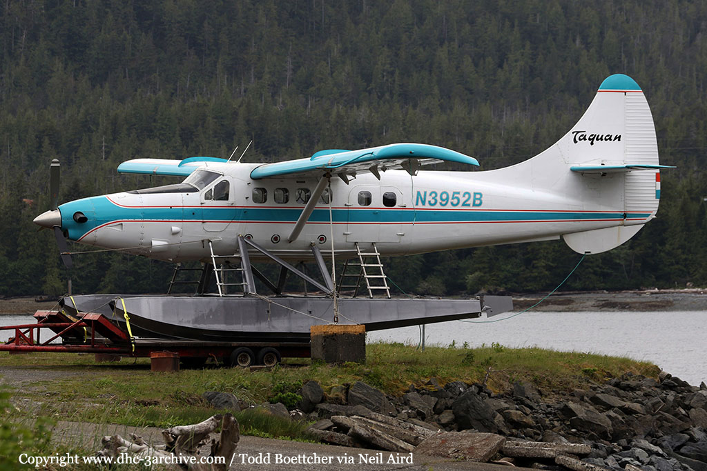
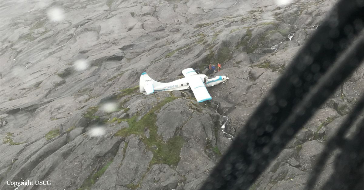
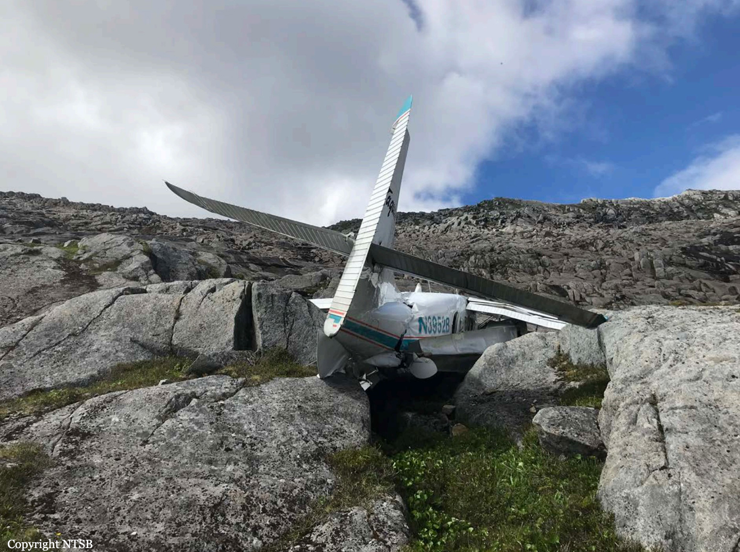
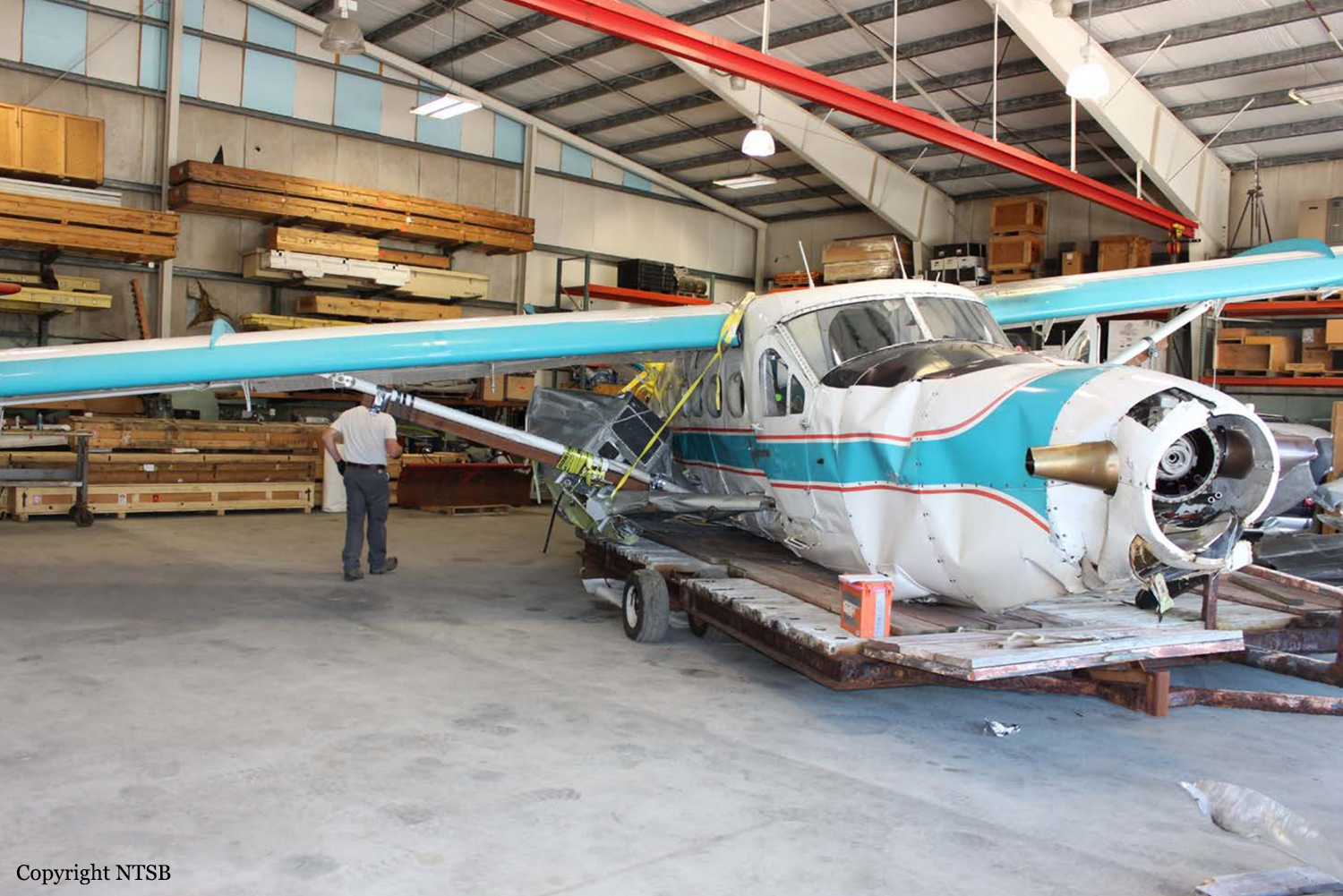
Crash of a De Havilland DHC-3T Otter near Hydaburg

Date & Time: Jul 10, 2018 at 0835 LT
Type of aircraft:
Operator:
Registration:
N3952B
Flight Phase:
Survivors:
Yes
Site:
Schedule:
Klawock – Ketchikan
MSN:
225
YOM:
1957
Location:
Crew on board:
1
Crew fatalities:
Pax on board:
10
Pax fatalities:
Other fatalities:
Total fatalities:
0
Captain / Total flying hours:
27400
Captain / Total hours on type:
306.00
Aircraft flight hours:
16918
Circumstances:
The airline transport pilot was conducting a commercial visual flight rules (VFR) flight transporting 10 passengers from a remote fishing lodge. According to the pilot, while in level cruise flight about 1,100 ft mean sea level (msl) and as the flight progressed into a mountain pass, visibility decreased rapidly. In an attempt to turn around and return to VFR conditions, the pilot initiated a climbing right turn. Before completing the 180° right turn, he saw what he believed to be a body of water and became momentarily disoriented, so he leveled the wings. Shortly thereafter, he realized that the airplane was approaching an area of snow-covered mountainous terrain, so he applied full power and initiated a steep climb; the airspeed decayed, and the airplane collided with an area of rocky, rising terrain, which resulted in substantial damage to the wings and fuselage. The pilot reported no mechanical malfunctions or anomalies that would have precluded normal operation, and the examination of the airframe and engine revealed no evidence of mechanical malfunctions or failures that would have precluded normal operation. The weather forecast at the accident time included scattered clouds at 2,500 ft msl, overcast clouds at 5,000 ft msl with cloud tops to 14,000 ft and clouds layered above that to flight level 250, and isolated broken clouds at 2,500 ft with light rain. AIRMET advisory SIERRA for "mountains obscured in clouds/precipitation" was valid at the time of the accident. Conditions were expected to deteriorate. Passenger interviews revealed that through the course of the flight, the airplane was operating in marginal visual meteorological conditions and occasional instrument meteorological conditions (IMC) with areas of precipitation, reduced visibility, obscuration, and, at times, little to no forward visibility. Thus, based on weather reports and forecasts, and the pilot's and passengers' statements, it is likely that the flight encountered IMC as it approached mountainous terrain and that the pilot then lost situational awareness. The airplane was equipped with a terrain awareness and warning system (TAWS); however, the alerts were inhibited at the time of the accident. Although the TAWS was required to be installed per Federal Aviation Administration (FAA) regulations, there is no requirement for it to be used. All company pilots interviewed stated that the TAWS inhibit switch remained in the inhibit position unless a controlled flight into terrain (CFIT) escape maneuver was being accomplished. However, the check airman who last administered the accident pilot's competency check stated that the TAWS inhibit switch was never moved, even during a CFIT escape maneuver. The unwritten company policy to leave the TAWS in the inhibit mode and the failure of the pilot to move the TAWS out of the inhibit mode when weather conditions began to deteriorate were inconsistent with the goal of providing the highest level of safety. However, if the pilot had been using TAWS, due to the fact that he was operating at a lower altitude and thus would have likely received numerous nuisance alerts, the investigation could not determine the extent to which TAWS would have impacted the pilot's actions. At the time of the accident, the director of operations (DO) for the company resided in another city and served as DO for another air carrier as well. He traveled to the company's main base of operation about once per month but was available via telephone. According to the chief pilot, he had assumed a large percentage of the DO's duties. The president of the company said that the chief pilot had taken over "officer of the deck" and "we're just basically using him [the DO] for his recordkeeping." The FAA was aware that the company's DO was also DO for another commuter operation. FAA Flight Standards District Office management and principal operations inspectors allowed him to continue to hold those positions, although it was contrary to the guidance provided in FAA Order 8900.1. The company's General Operations Manual (GOM) only listed the DO, the chief pilot, and the president by name as having the authority to exercise operational control. However, numerous company personnel stated that operational control could be and was routinely delegated to senior pilots. The GOM stated that the DO "routinely" delegated the duty of operational control to flight coordinators, but the flight coordinator on duty at the time of the accident stated that she did not have operational control. In addition, the investigation revealed numerous inadequate and missing operational control procedures and processes in company manuals and operations specifications. Based on the FAA's inappropriate approval of the DO, the insufficient company onsite management, the inadequate operational control procedures, and the exercise of operational control by unapproved persons likely resulted in a lack of oversight of flight operations, inattentive and distracted management personnel, and a loss of operational control within the air carrier. However, the investigation could not determine the extent to which any changes to operational control, company management, and FAA oversight would have influenced the pilot's decision to continue the VFR flight into IMC.
Probable cause:
The pilot's decision to continue the visual flight rules flight into instrument meteorological conditions, which resulted in controlled flight into terrain.
Final Report:

Crash of a Let L-410UVP near Souguéta: 4 killed

Date & Time: Jun 24, 2018 at 1030 LT
Type of aircraft:
Registration:
3X-AAJ
Flight Phase:
Survivors:
No
Site:
Schedule:
Sal - Conakry – Lero
MSN:
85 14 03
YOM:
1985
Country:
Region:
Crew on board:
2
Crew fatalities:
Pax on board:
2
Pax fatalities:
Other fatalities:
Total fatalities:
4
Circumstances:
The twin engine airplane was carrying two technicians and two pilots bound for a mine field located near Lero, Kankan. It made an intermediate stop at Conakry on a flight from Sal, Cape Verde. En route, the crew encountered poor weather conditions with low clouds and fog when the airplane struck the slope of a mountain and disintegrated on impact. All four occupants were killed.

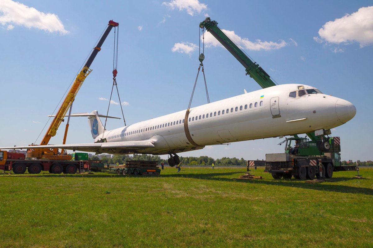
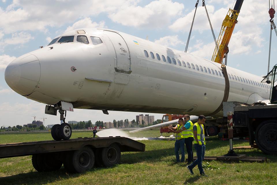
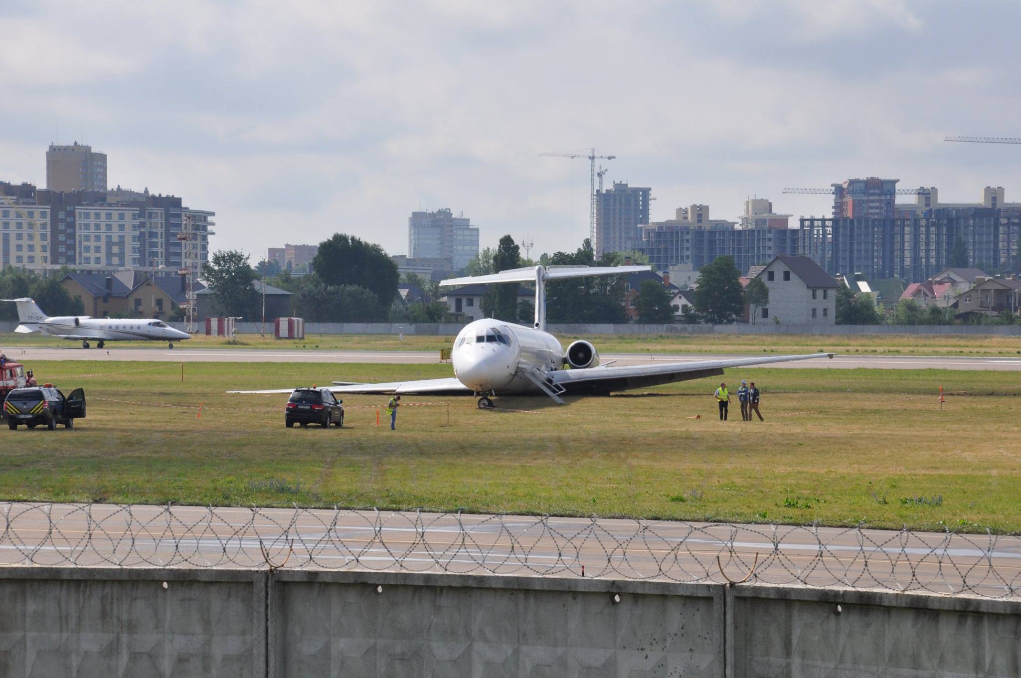
Crash of a McDonnell Douglas MD-83 in Kiev

Date & Time: Jun 14, 2018 at 2040 LT
Type of aircraft:
Operator:
Registration:
UR-CPR
Survivors:
Yes
Schedule:
Antalya - Kiev
MSN:
49946/1898
YOM:
1991
Flight number:
BAY4406
Country:
Region:
Crew on board:
7
Crew fatalities:
Pax on board:
160
Pax fatalities:
Other fatalities:
Total fatalities:
0
Captain / Total flying hours:
11548
Captain / Total hours on type:
5580.00
Copilot / Total flying hours:
12514
Copilot / Total hours on type:
3580
Aircraft flight hours:
43105
Aircraft flight cycles:
46810
Circumstances:
On June 14, 2018, according to the flight assignment, BAY 4406 charter flight en-route Antalya - Kyiv (Zhulyany) on MD-83 aircraft, state and registration number UR-CPR of Bravo Airways, was operated by PIC, co-pilot and five flight attendants. According to PIC’s Statement, the flight was delayed by 6 hours (departure time - 03:30 pm.) The Investigation Team did not establish the departure time from Antalya Airport. According to the PIC, the crew arrived at the airport at 02:00 pm. The takeoff time was 03:41 pm. The airline said the flight was delayed because of the aircraft non-arrival. Bravo Airways is the aircraft operator responsible for the flight and technical operation of the aircraft, maintaining its airworthiness and ensuring the flight safety. The Pilot Flying duties were performed by the PIC, and the Pilot Monitoring was the co-pilot. In accordance with the flight assignment, the PIC cross checked the copilot. According to his Statement, the flight preparation of the crew was carried out one and a half hours before the actual departure at Antalya Airport (PIC received aeronautical and meteorological information from a representative of Turkish Ground Services), after which, the PIC took a decision to perform the flight. Climb and level flight were performed in a normal mode. Landing approach was carried out to RW08 in the conditions of thunderstorm activity with ILS system. At 05:40 pm, at landing on the aerodrome of the Kyiv International Airport (Zhulyany) (hereinafter – Kyiv (Zhulyany) Aerodrome), during the landing run, at the distance of 1260 m from the entrance threshold, the aircraft suffered a runway excursion to the left of the air strip and stopped outside the cleared and graded area of the air strip at the distance of 123 m from the runway center line (according to the tire footprints at the occurrence site.) As a result of the accident, the aircraft has sustained substantial damage, in particular, to the structural elements. None of passengers or crew members received serious injuries.
Probable cause:
The cause of the accident, i.e. runway excursion of MD-83 UR-CPR aircraft operated by Bravo Airways, which took place on June 14, 2018 at the Kyiv (Zhulyany) Aerodrome at performance of flight BAY 4406 en-route Antalya-Kyiv (Zhulyany) – was the PIC’s decision to continue the landing at the Kyiv (Zhulyany) Aerodrome in the thunderstorm conditions with the following main factors:
- non-stabilized approach for landing, starting from the height of 1,000 feet;
- spoiler non-deployment by the crew;
- incorrect crew actions in application of the reverse thrust on a wet runway (EPR>1.3).
Contributing Factors:
- Air traffic control service in the classified airspace of Ukraine, which is required by the Order of the Ministry of Transport of Ukraine dated April 16, 2003, No. 293, was not provided to the crew in full;
- Wind variable in strength and direction;
- Probably, the crew’s failure to listen to the latest ATIS reports for the Kyiv (Zhulyany) Aerodrome;
- Bravo Airways Operator's Manual does not contain landing approach procedures;
- Low-quality pre-flight preparation, pre-landing preparation, checklist reading and completion at all flight stages.
Final Report:

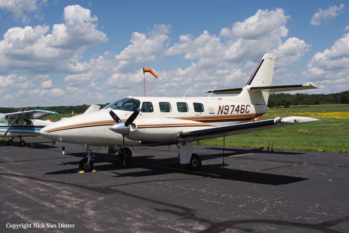
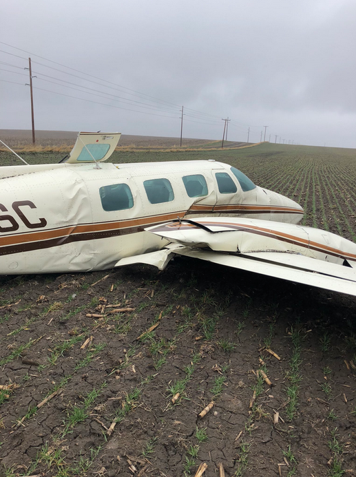
Crash of a Cessna T303 Crusader in Batesland

Date & Time: Apr 24, 2018 at 1000 LT
Type of aircraft:
Operator:
Registration:
N9746C
Flight Phase:
Survivors:
Yes
Schedule:
Aberdeen - Pine Ridge
MSN:
303-00210
YOM:
1983
Crew on board:
1
Crew fatalities:
Pax on board:
3
Pax fatalities:
Other fatalities:
Total fatalities:
0
Captain / Total flying hours:
5655
Captain / Total hours on type:
4403.00
Aircraft flight hours:
8929
Circumstances:
Before the air taxi flight, the commercial pilot obtained a weather briefing via the company computer system and reviewed the weather information with the company chief pilot. The pilot stated that based on the computer briefing, which did not include icing conditions, he was aware of the forecasted weather conditions along the route of flight and at the intended destination. However, the briefing was incomplete as it did not contain any in-flight weather advisories, which would have alerted the pilot of moderate icing conditions expected over the flight route in the form of AIRMET Zulu. After takeoff and during the climb to 12,000 ft mean sea level (msl), the airplane encountered light rime ice, and the pilot activated the de-ice equipment with no issues noted. After hearing reports of better weather at a lower altitude, the pilot requested a descent to between 5,000 and 6,000 ft. During the descent to 6,000 ft msl and with the airplane clear of ice, the airplane encountered light to moderate icing conditions. The pilot considered turning back to another airport but could not get clearance until the airplane was closer to his destination. Shortly thereafter, the pilot stated that it felt “like a sheet of ice fell on us” as the airplane encountered severe icing conditions. The pilot applied full engine power in an attempt to maintain altitude. The airplane exited the overcast cloud layer about 500 ft above ground level. The pilot chose to execute an off-airport emergency landing because the airplane could not maintain altitude. During the landing, the landing gear separated; the airplane came to rest upright and sustained substantial damage to the wings and fuselage. The pilot reported that there were no preaccident mechanical malfunctions or failures with the airplane that would have precluded normal operation and that the airplane was within its maximum gross weight. Structural icing was observed on the airframe after the landing. Based on the weather information, which indicated the probability of icing between 5,000 and 9,000 ft over the region and a high threat of supercooled large droplets between 5,000 and 7,000 ft, it is likely that the airplane, which was equipped for flight in icing conditions, inadvertently encountered severe icing conditions consistent with supercooled large droplets, which resulted in structural icing that exceeded the airplane’s capabilities to maintain altitude.
Probable cause:
The airplane’s inadvertent encounter with severe icing conditions during descent, which resulted in structural icing, the pilot’s inability to maintain altitude, and an emergency landing. Contributing to the accident was an incomplete preflight weather briefing.
Final Report:

Crash of a McDonnell Douglas MD-83 in Alexandria

Date & Time: Apr 20, 2018 at 1420 LT
Type of aircraft:
Operator:
Registration:
N807WA
Survivors:
Yes
Schedule:
Chicago - Alexandria
MSN:
53093/2066
YOM:
1993
Flight number:
WAL708
Crew on board:
7
Crew fatalities:
Pax on board:
94
Pax fatalities:
Other fatalities:
Total fatalities:
0
Captain / Total flying hours:
13335
Captain / Total hours on type:
6466.00
Copilot / Total flying hours:
4590
Copilot / Total hours on type:
2474
Aircraft flight hours:
43724
Circumstances:
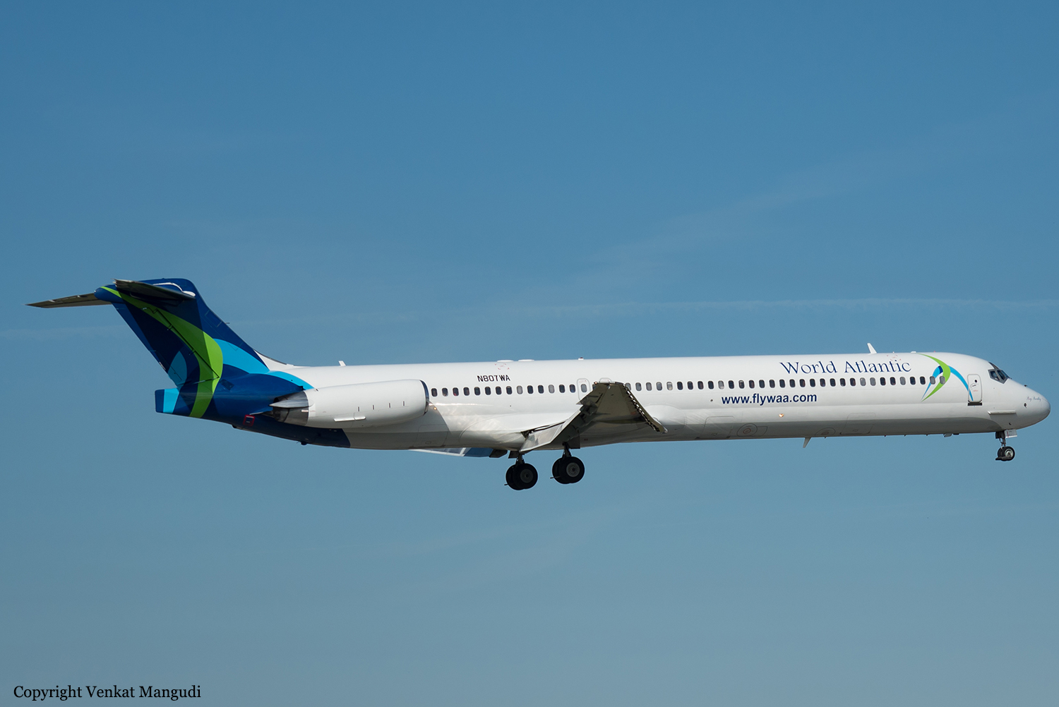
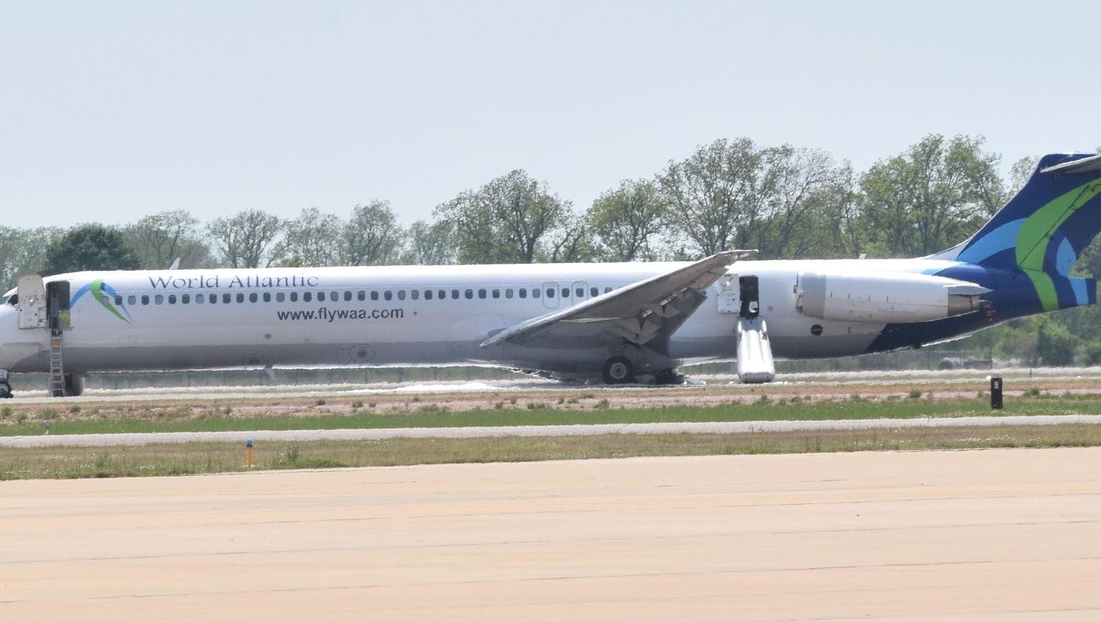
The airplane suffered a right main landing gear collapse during landing at the destination airport. The airplane sustained substantial damage to the right lower wing skin when it contacted the runway after the landing gear collapse. The crew stopped the airplane on the runway and an emergency evacuation was performed through three of the four doors on the airplane. The escape slide at the left forward door did not deploy or inflate due to the depletion of the gas charge in the reservoir. The reservoir depleted due to a leak in the valve assembly and was not caught during multiple inspections since installation of the slide assembly in the airplane. The landing gear cylinder fractured under normal landing loads due to the presence of a fatigue crack on the forward side of the cylinder in an area subject to an AD inspection for cracks. The most recent AD inspection of the cylinder was performed 218 landings prior when the fatigue crack was large enough to be detectable. A previous AD inspection performed 497 landings prior to the accident also did not detect the crack that would have been marginally detectable at the time.
Probable cause:
The failure of the right main landing gear under normal loads due to fatigue cracking in an area subject to an FAA Airworthiness Directive that was not adequately inspected.
Final Report:

Crash of a Beechcraft B100 King Air in Abbotsford

Date & Time: Feb 23, 2018 at 1204 LT
Type of aircraft:
Operator:
Registration:
C-GIAE
Flight Phase:
Survivors:
Yes
Schedule:
Abbotsford - San Bernardino
MSN:
BE-8
YOM:
1976
Flight number:
IAX640
Country:
Crew on board:
1
Crew fatalities:
Pax on board:
9
Pax fatalities:
Other fatalities:
Total fatalities:
0
Captain / Total flying hours:
10000
Captain / Total hours on type:
800.00
Aircraft flight hours:
10580
Circumstances:
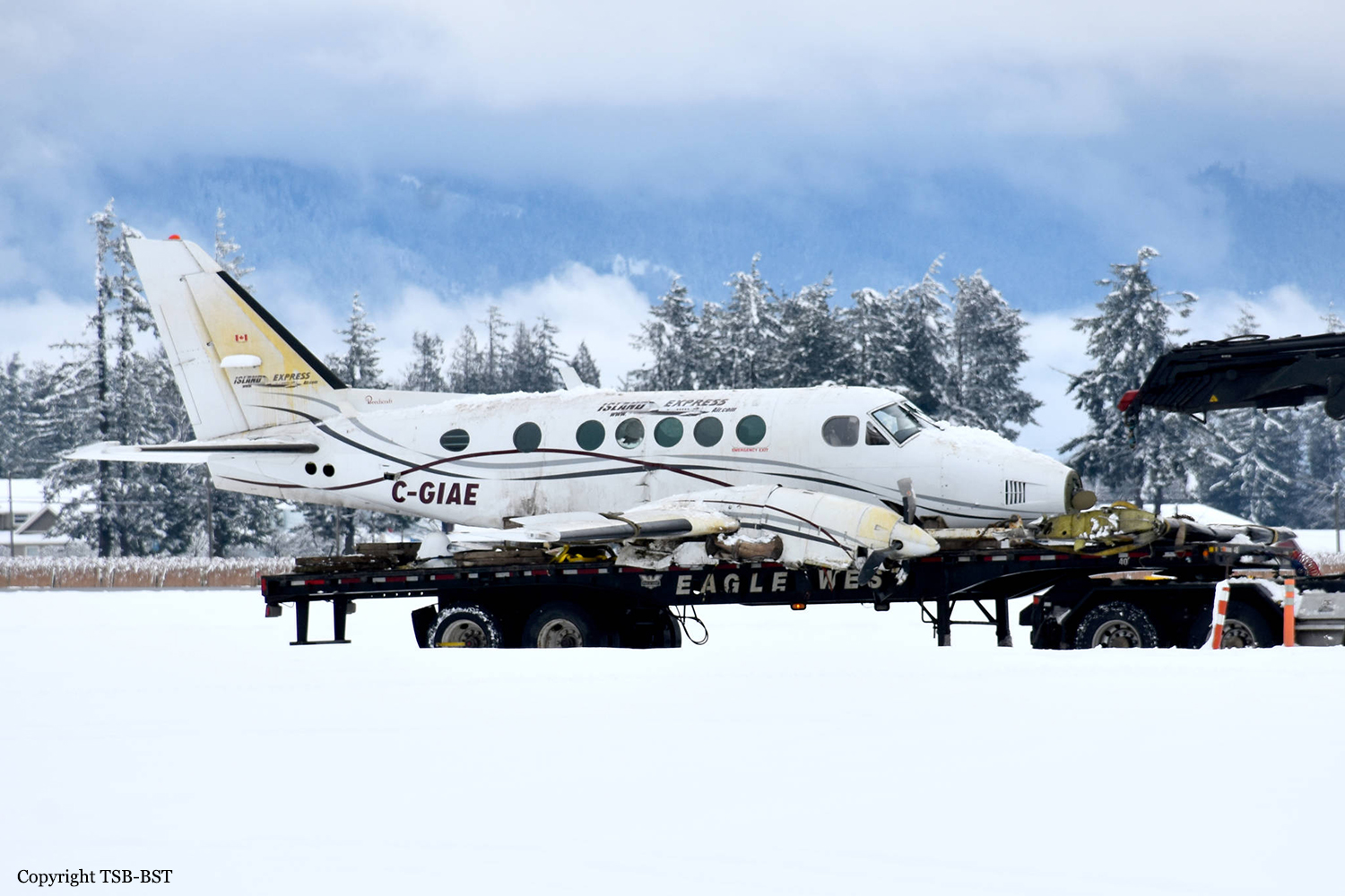
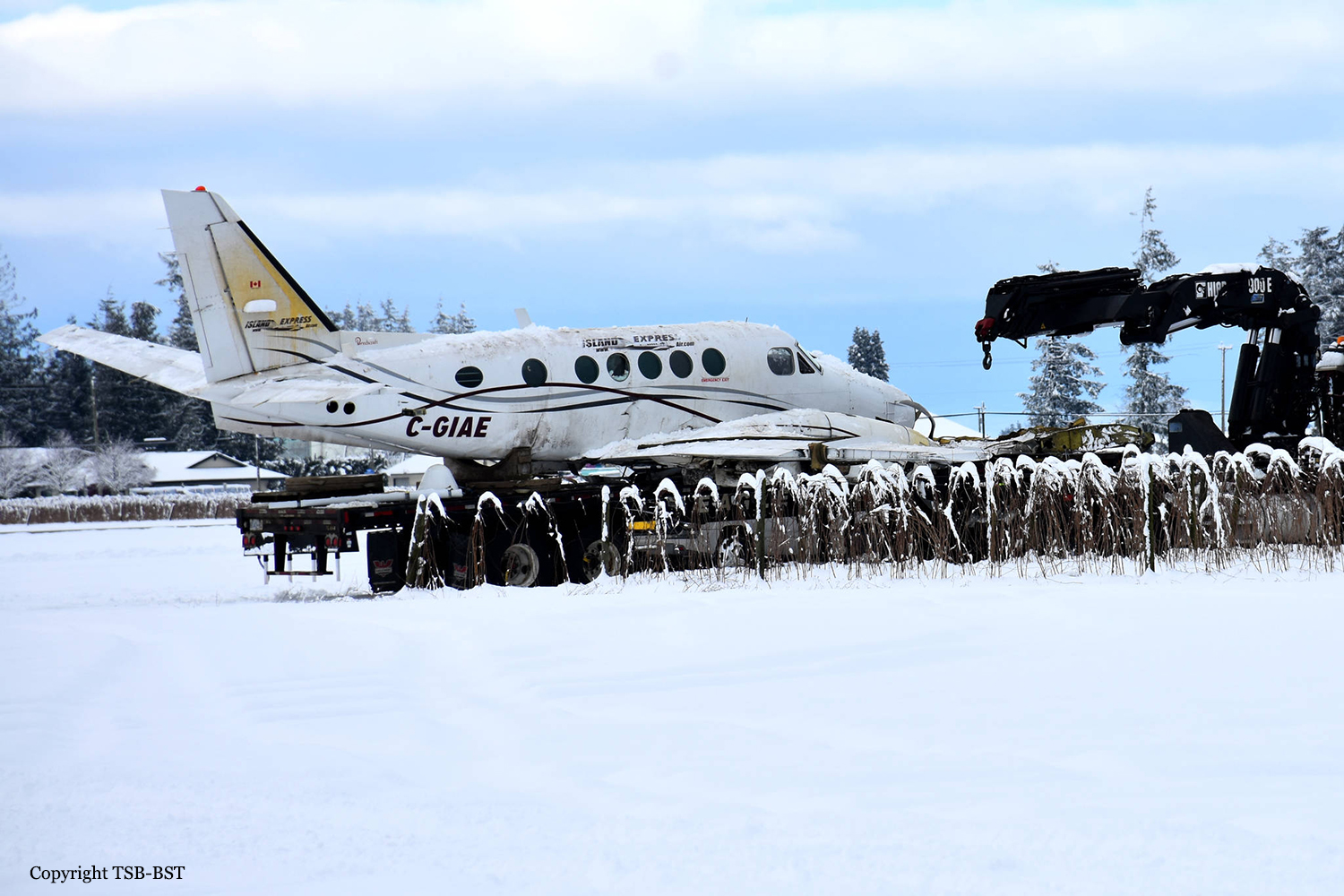
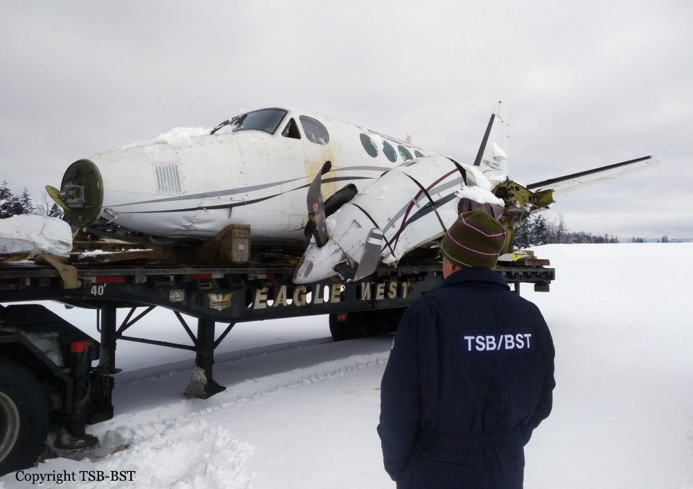
Weather conditions at Abbotsford at the time of departure consisted of a temperature of -2°C in moderate to heavy snowfall with winds of approximately 10 knots. Prior to the departure, the fuel tanks were filled to capacity and the pilot and passengers boarded the aircraft inside the operator's heated hangar. The aircraft was towed outside of the hangar without being treated with anti-ice fluid, and taxied for the departure on runway 07. Due to an inbound arrival at Abbotsford, C-GIAE was delayed for departure. Once cleared for takeoff, the aircraft had been exposed to snow and freezing conditions for approximately 14 minutes. After becoming airborne, the aircraft experienced power and control issues shortly after the landing gear was retracted. The aircraft collided with terrain within the airport perimeter. Four passengers and the pilot sustained serious injuries as a result of the accident which destroyed the aircraft.
Probable cause:
The accident was the consequence of the combination of the following findings:
- The occurrence aircraft exited a warm hangar and was exposed to 14 minutes of heavy snow in below-freezing conditions. This resulted in a condition highly conducive to severe ground icing,
- As the aircraft climbed out of ground effect on takeoff, it experienced an aerodynamic stall as a result of wing contamination,
- The pilot’s decision making was affected by continuation bias, which resulted in the pilot attempting a takeoff with an aircraft contaminated with ice and snow adhering to its critical surfaces,
- The pilot and the passenger seated in the right-hand crew seat were not wearing the available shoulder harnesses. As a result, they sustained serious head injuries during the impact sequence,
- During the impact sequence, the cargo restraint system used to secure the baggage in the rear baggage compartment failed, causing some of the baggage to injure passengers seated in the rear of the aircraft cabin,
- The aircraft was not airworthy at the time of the occurrence as a result of an incomplete airworthiness directive.
Final Report: