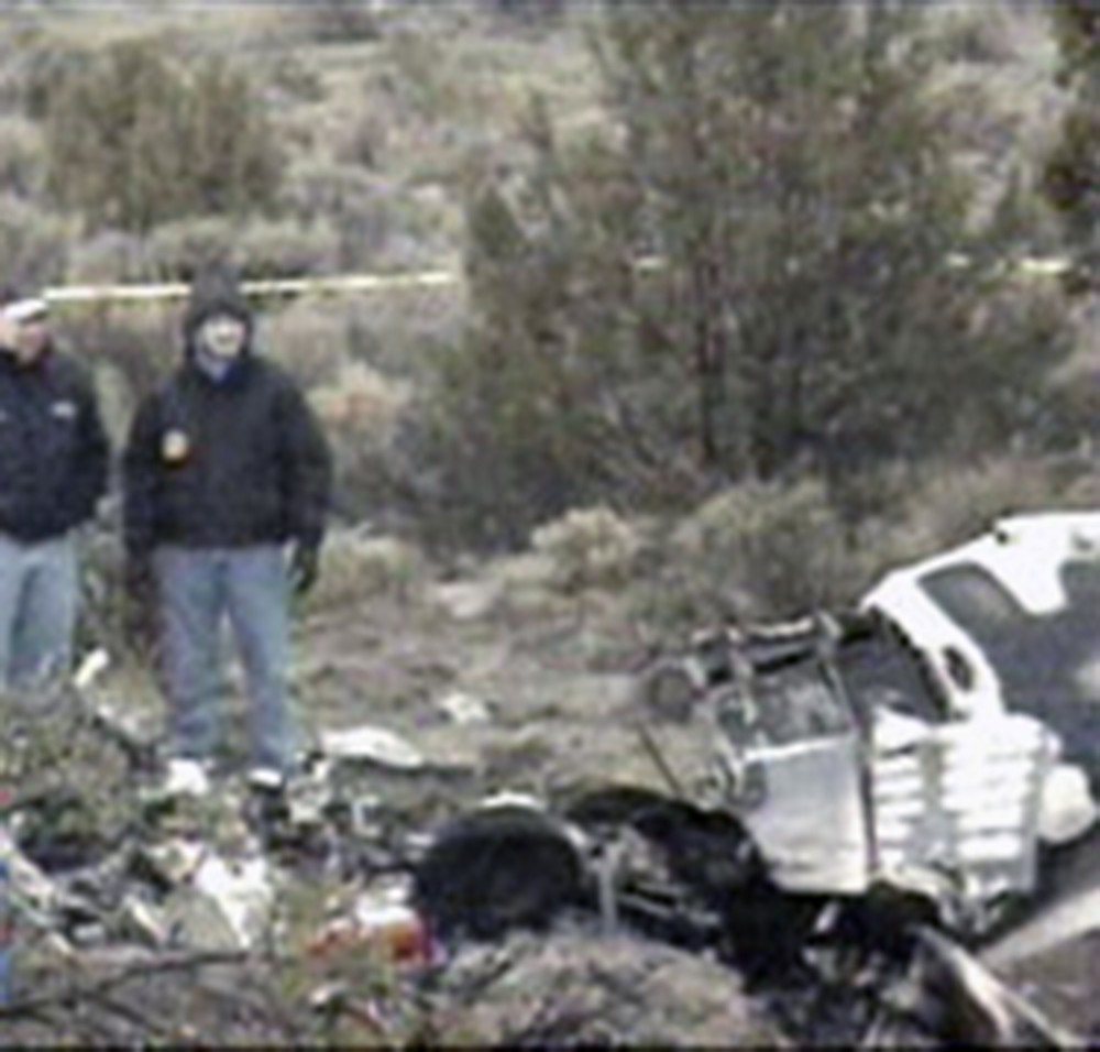
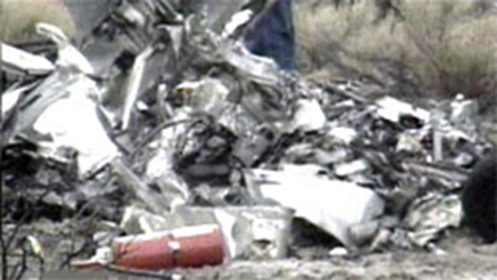
Crash of a Cessna 340A in Angel Fire

Date & Time: Aug 31, 2008 at 2045 LT
Type of aircraft:
Registration:
N397RA
Flight Type:
Survivors:
Yes
Schedule:
Tomball – Angel Fire
MSN:
340A-0009
YOM:
1975
Crew on board:
1
Crew fatalities:
Pax on board:
0
Pax fatalities:
Other fatalities:
Total fatalities:
0
Captain / Total flying hours:
4725
Captain / Total hours on type:
625.00
Aircraft flight hours:
6507
Circumstances:
The pilot reported that he was cleared for a GPS approach and broke out of the clouds at 1,800 feet. He entered a left hand traffic pattern and his last recollection was turning base. He woke up in the crashed airplane which was on fire. The airplane was destroyed. An examination of airplane systems revealed no anomalies.
Probable cause:
Controlled flight into terrain for unknown reasons.
Final Report:

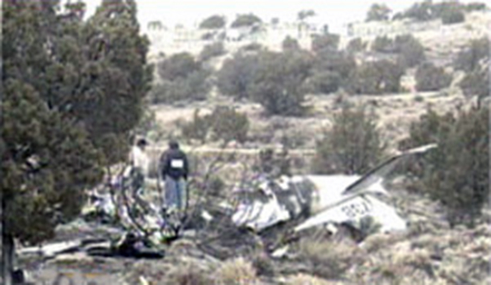
Crash of a Beechcraft E90 King Air in Ruidoso: 5 killed

Date & Time: Aug 5, 2007 at 2141 LT
Type of aircraft:
Operator:
Registration:
N369CD
Flight Phase:
Flight Type:
Survivors:
No
Schedule:
Ruidoso - Albuquerque
MSN:
LW-162
YOM:
1976
Crew on board:
1
Crew fatalities:
Pax on board:
4
Pax fatalities:
Other fatalities:
Total fatalities:
5
Captain / Total flying hours:
2775
Captain / Total hours on type:
23.00
Aircraft flight hours:
10358
Circumstances:
The emergency medical services (EMS) airplane took off toward the east in dark night visual conditions. The purpose of the Part 135 commercial air ambulance flight was to transport a 15-month-old patient from one hospital to another. Immediately following the takeoff from an airport elevation of 6,814 feet above mean sea level (msl), witnesses observed the airplane initiate a left turn to the north and disappear. Satellite tracking detected the airplane a shortly after departure, when the airplane was flying at an altitude of 6,811 feet msl, an airspeed of 115 knots, and a course of 072 degrees. The airplane impacted terrain at an elevation of 6,860 msl feet shortly thereafter, about 4 miles southeast of the departure airport. The pilot, flight nurse, paramedic, patient, and patient's mother were fatally injured. When the airplane failed to arrive at its destination, authorities initiated a search and the wreckage was located the next morning. Documentation and analysis of the accident site by the NTSB revealed that debris path indicated a heading away from the destination airport. Initial impact with trees occurred at an elevation of 6,860 feet. Fragmented wreckage was strewn for 1,100 feet down a 4.5-degree graded hill on a magnetic heading of 141 degrees. The aircraft's descent angle was computed to be 13 degrees, and the angle of impact was computed to be 8.5 degrees. There was evidence of a post-impact flash fire. Both engine and propeller assemblies were recovered and examined; the assemblies bore signatures consistent with engine power in a mid to high power range. The flaps and landing gear were retracted, indicating that the pilot did not attempt to land the airplane at the time of the accident. Flight control continuity was established, and control cable and push rods breaks exhibited signatures consistent with overload failures. There was no evidence of any pre-impact mechanical malfunction found during examination of the available evidence. The pilot had logged 2,775 total flight hours, of which 23 hours were in the accident airplane. Toxicology testing detected chlorpheniramine (an over-the-counter antihistamine that results in impairment at typical doses) and acetaminophen (an over-the-counter pain reliever and fever reducer often known by the trade name Tylenol and frequently combined with chlorpheniramine). No blood was available for tox testing, so it is not possible to accurately estimate the time of last use, nor determine if the level of impairment that these substances would have incurred during the flight. The airplane was not equipped with either a flight data recorder or a cockpit voice recorder, nor were they required by Federal Aviation Regulation (FAR). The impact damage to the aircraft, presence of dark night conditions, experience level of the pilot, and anomalous flight path are consistent with spatial disorientation.
Probable cause:
Failure to maintain clearance from terrain due to spatial disorientation.
Final Report:

Crash of a Piper PA-31P Pressurized Navajo in Gallup: 1 killed

Date & Time: Dec 29, 2004 at 1018 LT
Type of aircraft:
Registration:
N573B
Flight Type:
Survivors:
No
Schedule:
Glendale – Newton
MSN:
31-7530008
YOM:
1975
Crew on board:
1
Crew fatalities:
Pax on board:
0
Pax fatalities:
Other fatalities:
Total fatalities:
1
Captain / Total flying hours:
936
Captain / Total hours on type:
62.00
Aircraft flight hours:
6773
Circumstances:
While maneuvering during a precautionary landing with the right engine shutdown, the airplane entered a Vmc roll and an uncontrolled descent, and impacted wires, trees, and terrain. According to air traffic control communications, while en route the pilot experienced a rough running right engine and performed a precautionary shutdown of the engine. The pilot elected to divert to an airport and received vectors from air traffic control for a visual approach. Witnesses who were located at the airport reported the airplane was on a normal downwind for the runway. When the airplane reached the approach end of the runway, the pilot turned to the right which was away from the airport. A witness who was monitoring the UNICOM frequency informed the pilot he was turning away from the airport and the pilot responded, "Busy." The airplane continued the right turn subsequently entered a Vmc roll and a rapid descent toward the terrain. The airplane wreckage was located on hilly, rocky terrain approximately 3 miles south of the airport. The airplane was fragmented and destroyed during the impact sequence and post-impact fire. Examination of the airframe and propellers revealed no anomalies that would have precluded normal operations. Examination of the left engine revealed the forward gearbox was destroyed and mechanical continuity of the rotating components and internal mechanisms was established. Examination of the right engine revealed the forward gearbox was destroyed and mechanical continuity of the rotating components and internal mechanisms was established. The reason for the reported rough running engine was not determined. The lifters installed in both engines during the overhauls were not approved lifters for the accident engines.
Probable cause:
The pilot's failure to maintain minimum controllable airspeed which resulted in the loss of control, and impact with wires, a tree and terrain.
Final Report:

Crash of a Piper PA-46-500TP Malibu Meridian in Albuquerque: 3 killed

Date & Time: Mar 7, 2003 at 1918 LT
Registration:
N522RF
Flight Type:
Survivors:
No
Schedule:
Scottsdale – Albuquerque
MSN:
46-97119
YOM:
2001
Crew on board:
1
Crew fatalities:
Pax on board:
2
Pax fatalities:
Other fatalities:
Total fatalities:
3
Captain / Total flying hours:
1200
Aircraft flight hours:
365
Circumstances:
The pilot was performing a night, VFR traffic pattern, to a full stop at a non-towered airport in a turboprop aircraft. He entered the traffic pattern (6,800 feet; 1,000 feet AGL) on an extended downwind; radar data indicated that his ground-speed was 205 knots. Over the next 3 nautical miles on down wind, radar data indicated that he slowed to a ground-speed of 171 knots, lost approximately 500 feet of altitude, and reduced his parallel distance from the runway from 4,775 feet to 2,775 feet. Witnesses said that his radio transmissions on CTAF appeared normal. The two witnesses observed a bright blue flash, followed by a loss of contact with the airplane. Rescue personnel found a broken and downed static wire from a system of three sets of power transmission wires. The dark night precluded ground rescue personnel from locating the downed aircraft; a police helicopter found the airplane approximately 2 hours after the accident. The pilot had recently completed his factory approved annual flight training. His flight instructor said that the pilot was taught to fly a VFR traffic pattern at 1,500 feet AGL (or 500 feet above piston powered aircraft), enter the downwind leg from a 45 degree leg, and fly parallel to the downwind approximately 1 to 1.5 nautical miles separation from it. His speed on downwind should have been 145 to 150 knots indicated, with 90 to 95 knots on final for a stabilized approach. The flight instructor said that the base turn should be at a maximum bank angle of 30 degrees. Radar data indicates that the pilot was in a maximum descent, while turning base to final, of 1,800 to 1,900 feet per minute with an airspeed on final of 145 to 150 knots. His maximum bank angle during this turn was calculated to have been more than 70 degrees. The separated static wire was located 8,266.5 feet from the runway threshold, and was approximately 30 feet higher than the threshold. Post-accident examinations of the airplane and its engine revealed no anomalies which would have precluded normal operations prior to impact.
Probable cause:
The pilot's unstabilized approach and his failure to maintain obstacle clearance. Contributing factors were the dark night light condition, and the static wires.
Final Report:

Crash of a Cessna 421C Golden Eagle III near Tajique: 1 killed

Date & Time: Dec 3, 2002 at 2035 LT
Registration:
N3855C
Flight Phase:
Flight Type:
Survivors:
No
Site:
Schedule:
Alamogordo – Albuquerque
MSN:
421C-0121
YOM:
1976
Crew on board:
1
Crew fatalities:
Pax on board:
0
Pax fatalities:
Other fatalities:
Total fatalities:
1
Captain / Total flying hours:
2500
Aircraft flight hours:
8539
Circumstances:
Prior to departing on the first leg of the flight, the dispatcher advised the pilot that he needed him to check the weather. After advising the pilot that he would be flying an additional leg, the
dispatcher again advised the pilot that he needed him to check the weather, which the pilot did, as observed by the dispatcher. After reaching 14,500 feet at 2028 the pilot contacted Albuquerque Approach Control, advising the controller that he had information "Yankee" and was requesting a lower altitude. The controller instructed the pilot to proceed via his own navigation and to descend at pilot's discretion. The pilot replied "Roger." From 2034 to 2041 the controller made four attempts to contact the pilot, each without success. At 2039 and 2042 the controller asked two other aircraft in the area to try establishing radio communication with the pilot; neither were successful. At 2033:19 the last radar return with altitude information was received from the aircraft, with a reported altitude of 10,200 feet MSL. A primary radar contact, with no transponder or altitude information, was received at 2033:32, 2.2 nautical miles southeast of the accident site, putting it on a straight line between the last radar contact and destination airport. The accident site was located at the 9,012 foot level of a mountain range, 19 nautical miles southeast of the destination airport. Post-accident examination revealed no anomalies with the airframe or engines which would have prevented normal operations. At 1956, the weather observation facility located at the destination airport reported a few clouds at 800 feet, scattered clouds at 2,500 feet, and overcast clouds at 4,200 feet. The remarks section stated rain ended at 35 minutes past the hour, and mountains obscured northeast to southeast. At 2024, the same weather facility reported scattered clouds at 600 feet and overcast clouds at 4,200 feet.
Probable cause:
The pilot's failure to maintain terrain clearance. Factors contributing to the accident were the high mountains, mountain obscuration, the dark night condition, and the pilot's improper inflight planning/decision making.
Final Report:

Crash of an IAI 1124A Westwind II in Taos: 2 killed

Date & Time: Nov 8, 2002 at 1457 LT
Type of aircraft:
Operator:
Registration:
N61RS
Flight Type:
Survivors:
No
Schedule:
Las Vegas - Taos
MSN:
384
YOM:
1983
Location:
Crew on board:
2
Crew fatalities:
Pax on board:
0
Pax fatalities:
Other fatalities:
Total fatalities:
2
Captain / Total flying hours:
5251
Captain / Total hours on type:
877.00
Copilot / Total flying hours:
14234
Copilot / Total hours on type:
682
Aircraft flight hours:
3428
Circumstances:
After passing the initial approach fix, during an instrument approach to the destination airport, radar and radio contact were lost with the business jet. One witness reported hearing "distressed engine noises overhead," and looked up and saw what appeared to be a small private jet flying overhead. The engine seemed to be "cutting in and out." The witness further reported observing the airplane in a left descending turn until his view was blocked by a ridge. The witness then heard an explosion and saw a big cloud of smoke rising over the ridge. A second witness heard a loud noise and looked up and saw a small white airplane with two engines. The witness stated that the airplane started to turn left with the nose of the airplane slightly pointing toward the ground. The airplane appeared to be trying to land on a road. A third witness heard the roar of the airplane's engines, and looked toward the noise and observed the airplane in a vertical descent (nose dive) impact the ground. The witness "heard the engines all the way to the ground." Examination of the airframe and engines did not disclose any structural or mechanical anomalies that would have prevented normal operation. The National Weather Service had issued a SIGMET for severe turbulence and mountain wave activity. Satellite images depicted bands of altocumulus undulates and/or rotor clouds over the accident site.
Probable cause:
The pilot's inadvertent flight into mountain wave weather conditions while IMC, resulting in a loss of aircraft control.
Final Report:

Crash of a Piper PA-31T Cheyenne II in Hobbs: 1 killed

Date & Time: Oct 31, 2002 at 0733 LT
Type of aircraft:
Registration:
N3998Y
Flight Phase:
Flight Type:
Survivors:
No
Schedule:
Hobbs - El Paso
MSN:
31-8020055
YOM:
1980
Crew on board:
1
Crew fatalities:
Pax on board:
0
Pax fatalities:
Other fatalities:
Total fatalities:
1
Captain / Total flying hours:
2893
Captain / Total hours on type:
765.00
Aircraft flight hours:
4900
Circumstances:
The pilot of the twin turbo-prop airplane lost control of the aircraft during the initial takeoff climb phase while in instrument meteorological conditions. An instrument flight rules flight plan was filed for the planned 169-nautical mile cross-country flight. The aircraft impacted terrain approximately 1.7 miles northwest of the departure airport. The 2,893-hour instrument rated private pilot, who had accumulated over 765 flight hours in the same make and model, had been cleared to his destination "as filed," and told to maintain 7,000 feet, and to expect 17,000 feet in 10 minutes. After becoming airborne, the flight was cleared for a left turn. The tower controller then cleared the flight to contact air route traffic control center. The pilot did not acknowledge the frequency change; however, he did establish radio contact with center on 133.1, and reported "climbing through 4,900 feet for assigned 7,000." The weather reported at the time of flight was winds from 010 degrees at 15 knots with 700 feet overcast and 3 miles visibility in mist. The radar controller observed the aircraft climbing through 5,500 feet and subsequently observed the airplane starting a descent. No distress calls were received from the flight. Signatures at the initial point of impact were consistent with a nose-low ground impact in a slight right bank. A post-impact fire consumed the airplane. No discrepancies or anomalies were found at the accident site that could have prevented normal operation of the airplane.
Probable cause:
The pilot's loss of control while in instrument meteorological conditions during initial takeoff climb. Contributing factors were the prevailing clouds and fog.
Final Report:

Crash of a Beechcraft H18 in Tatum: 1 killed

Date & Time: Jul 1, 2002 at 1315 LT
Type of aircraft:
Registration:
N835K
Flight Phase:
Flight Type:
Survivors:
No
Schedule:
Taos - Odessa
MSN:
BA-724
YOM:
1965
Crew on board:
1
Crew fatalities:
Pax on board:
0
Pax fatalities:
Other fatalities:
Total fatalities:
1
Captain / Total flying hours:
30000
Captain / Total hours on type:
500.00
Aircraft flight hours:
6466
Circumstances:
A witness reported hearing the distinctive sound of a radial engine just before the crash, and right after that a loud crashing noise. The witness observed a large cloud of dust forming, subsequently saw the plane parts scattering from west to east across the pasture, and then observed the fuselage come to rest. A second witness saw the airplane hit the ground and a cloud of dust form about one-quarter of a mile long and as high as a highline wire. The witness said that after the dust settled he saw scattered plane parts, a highline wire down, and a wing part spilling fuel. The witness also stated that the airplane was traveling from west to east and looked horizontal at impact At 12:59:57, approximately 10 minutes prior to the time of the accident, air traffic control radar identified a target 8 nautical miles northwest of the accident site at an altitude of 5,500 feet mean sea level (MSL). However, this target could not be positively identified as the accident airplane. A postmortem examination of the pilot by a Medical Investigator reported significant natural disease findings included coronary atherosclerosis (hardening and narrowing of the arteries), and chronic thyroiditis (inflammation of the thyroid gland). Both of these diseases can cause sudden cardiac problems including an arrhythmia or heart attack.
Probable cause:
The failure of the pilot to maintain clearance.
Final Report:

Crash of a Piper PA-31T Cheyenne II in Hobbs

Date & Time: Feb 4, 2002 at 1907 LT
Type of aircraft:
Registration:
N794CA
Flight Type:
Survivors:
Yes
Schedule:
Las Vegas - Hobbs
MSN:
31-8120018
YOM:
1981
Crew on board:
1
Crew fatalities:
Pax on board:
0
Pax fatalities:
Other fatalities:
Total fatalities:
0
Captain / Total flying hours:
2893
Captain / Total hours on type:
765.00
Aircraft flight hours:
4900
Circumstances:
At the conclusion of a dark night IMC cross-country flight, the pilot was being vectored onto the ILS approach. After stabilizing, the approach "was normal." At decision altitude, the pilot indicated that he could see the approach lights and the runway, but was not in a position to land so he executed a missed approach. After being vectored around for another approach, he stated that he was on the localizer but was "high" on the glide slope. After giving "a little" nose down pitch, he became distracted when the autopilot became "accidentally disengaged." The pilot stated that he "inadvertently descended through the glide slope and impacted the ground short of the runway." He further stated that the "first indication" that he was low was when the aircraft "struck the ground." The aircraft was destroyed on impact. A facility check conducted by the FAA of the ILS found all parameters within normal specifications.
Probable cause:
The pilot's failure to maintain the proper glidepath during the instrument approach. Contributing factors were the dark night light conditions and the pilot's diverted attention.
Final Report:

Crash of a Mitsubishi MU-2B-20 Marquise in Cerrillos: 2 killed

Date & Time: Jun 10, 2001 at 1221 LT
Type of aircraft:
Operator:
Registration:
N187AF
Flight Phase:
Flight Type:
Survivors:
No
Schedule:
Peoria – Santa Fe
MSN:
187
YOM:
1970
Crew on board:
1
Crew fatalities:
Pax on board:
1
Pax fatalities:
Other fatalities:
Total fatalities:
2
Captain / Total flying hours:
800
Captain / Total hours on type:
4.00
Aircraft flight hours:
6500
Circumstances:
The pilot was maneuvering the airplane south of the airport preparing to make a VFR approach. Witnesses observed the airplane in a right spin. NTAP data showed the airplane to be well above stall speed before disappearing from radar. Examination of the radar data revealed that in 6 seconds, ground speed dropped 31 knots, from 200 knots to 169 knots, and altitude dropped 440 feet, from 11,760 feet to 11,320 feet (4,400 feet per minute). In the next 6 seconds, ground speed dropped another 31 knots, from 169 knots to 138 knots, and altitude dropped 1,020 feet, from 11,320 feet to 10,300 feet (10,200 feet per minute). According to the manufacturer, if the throttles were to be brought back into Beta (flat pitch) range, it is possible that one propeller could go into Beta an instant before the other propeller. If this were to happen, the airplane would instantly snap roll and enter a spiral. The pilot had received an estimated 4 hours of dual instruction in the airplane.
Probable cause:
The pilot's loss of aircraft control inflight for reasons undetermined. Contributing factors were the pilot's inadequate transition/upgrade training and his total lack of experience in aircraft make/model.
Final Report: