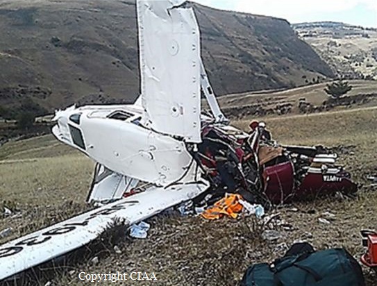
Crash of an Antonov AN-26 near San Cristóbal: 8 killed

Date & Time: Apr 29, 2017
Type of aircraft:
Operator:
Registration:
CU-T1406
Flight Phase:
Flight Type:
Survivors:
No
Site:
Schedule:
Playa Baracoa - Playa Baracoa
MSN:
135 02
YOM:
1985
Flight number:
FAR1436
Country:
Crew on board:
8
Crew fatalities:
Pax on board:
0
Pax fatalities:
Other fatalities:
Total fatalities:
8
Circumstances:
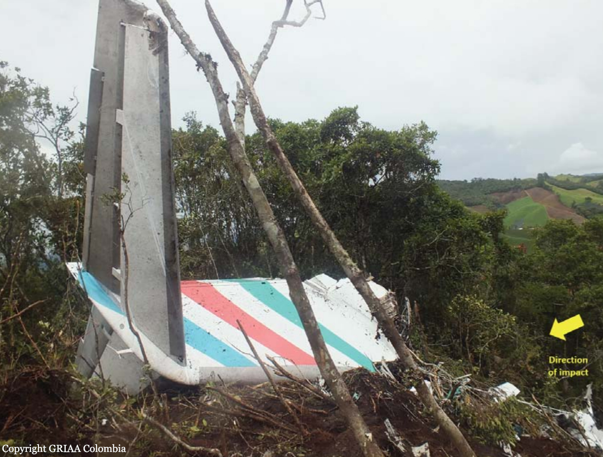
The airplane departed Playa Baracoa Airport at 0638LT on a training flight and continued to the southwest. En route, it impacted the slope of Mt Loma de la Pimienta located about six km north of San Cristóbal, province of Artemisa. The aircraft was destroyed and all eight crew members were killed. Owned by Aerogaviota, the airplane was operated by the Cuban Air Force (Fuerzas Armadas Revolucionarias) under flight code FAR1436.

Crash of a Cessna 208 Caravan I near Oksibil: 1 killed

Date & Time: Apr 12, 2017 at 1240 LT
Type of aircraft:
Operator:
Registration:
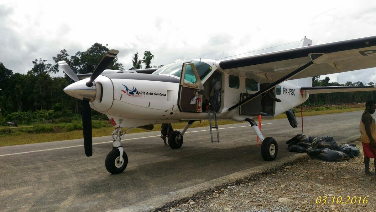
PK-FSO
Flight Phase:
Flight Type:
Survivors:
No
Site:
Schedule:
Tanah Merah – Oksibil
MSN:
208-0313
YOM:
1999
Country:
Region:
Crew on board:
1
Crew fatalities:
Pax on board:
0
Pax fatalities:
Other fatalities:
Total fatalities:
1
Captain / Total flying hours:
4236
Captain / Total hours on type:
2552.00
Aircraft flight hours:
6226
Aircraft flight cycles:
9371
Circumstances:
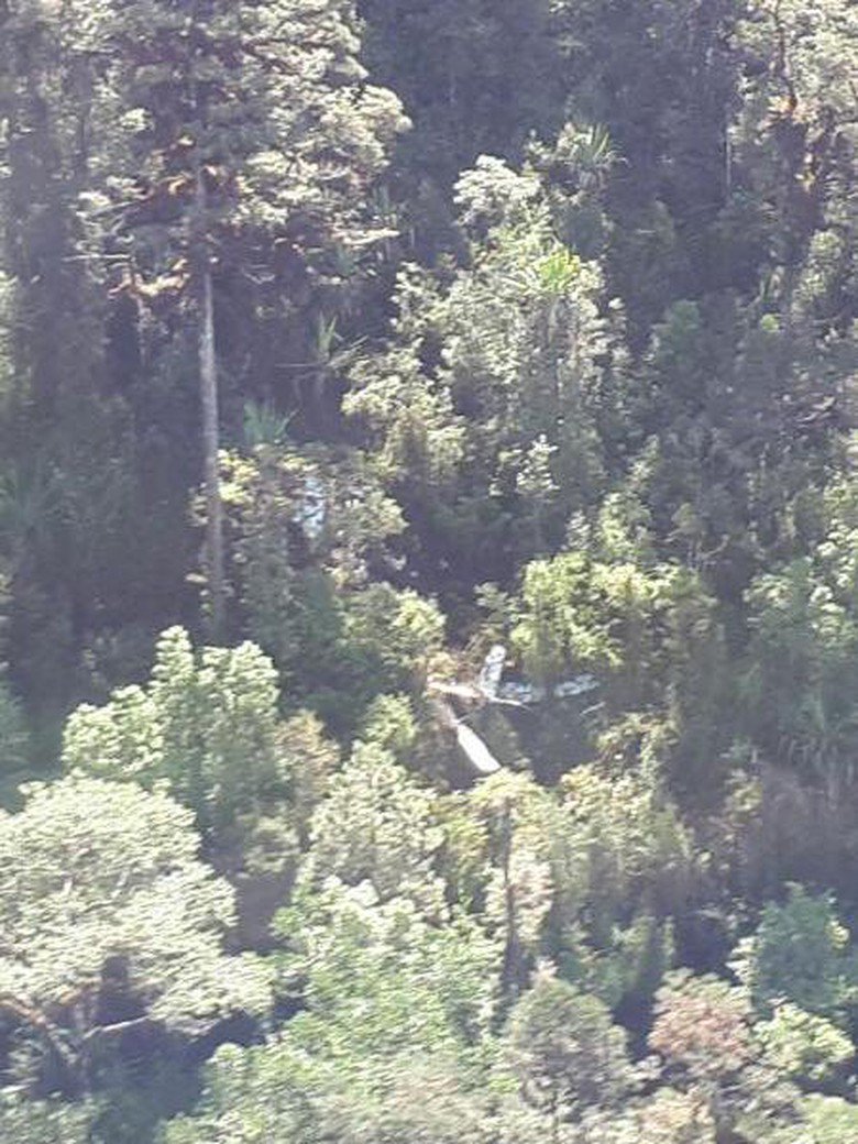
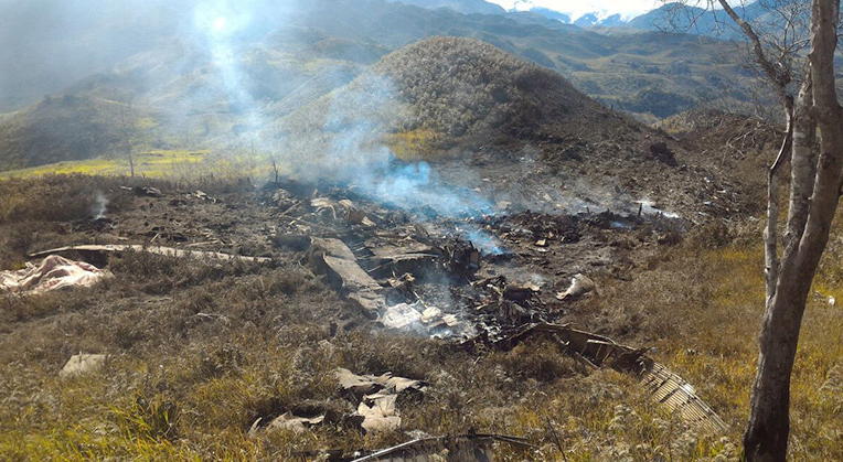
On 12 April 2017, a Cessna C208 aircraft registered PK-FSO was being operated by PT. Spirit Avia Sentosa (FlyingSAS) for unscheduled cargo flight. The flights of the day scheduled for the aircraft were Mopah Airport (WAKK) – Tanah Merah Airport (WAKT) – Oksibil Airport (WAJO) – Tanah Merah – Oksibil – Tanah Merah. The estimated time departure of first flight from Mopah Airport to Tanah Merah was 0800 LT and the flight departed at 0848 LT, on board the aircraft were two pilots and seven passengers. The aircraft arrived in Tanah Merah at about 0943 LT. At 1012 LT, the flight departed from Tanah Merah to Oksibil. About 10 Nm from Oksibil the pilot contacted the Oksibil tower controller to get air traffic services and landed at 1044 LT. The flight then departed from Oksibil to Tanah Merah at 1058 LT and arrived about 1126 LT. These flights were single pilot operation. At 1144 LT on daylight condition, the aircraft departed Tanah Merah with intended cruising altitude of 7,000 feet. Prior to departure, there was no report or record of aircraft system malfunction. On board the aircraft was one pilot, 1,225 kg of general cargo and 800 pounds of fuel which was sufficient for about 3 hours of flight time. After departure, the pilot advised Tanah Merah tower controller of the estimate time arrival at Oksibil would be 1224 LT. At 1149 LT, the pilot advised Tanah Merah tower controller that the aircraft position was about 10 Nm from Tanah Merah and passing altitude of 3,500 feet. The Tanah Merah tower controller acknowledged the message and advised the pilot to monitor radio communication on frequency 122.7 MHz for traffic monitoring. At about 29 Nm from Oksibil, the PK-FSO aircraft passed a Cessna 208B aircraft which was flying on opposite direction from Oksibil to Tanah Merah at altitude 6,000 feet. At this time, the aircraft ground speed recorded on the flight following system was about 164 knots. The Cessna 208B pilot advised to the pilot on radio frequency 122.7 MHz that the PK-FSO aircraft was in sight. The pilot responded that the aircraft was maintaining 7,000 feet on direct route to Oksibil. At 1230 LT, the Oksibil tower controller received phone call from the FlyingSAS officer at Jakarta which confirming whether the PK-FSO aircraft has landed on Oksibil. The Oksibil tower controller responded that there was no communication with the PK-FSO pilot. The Oksibil tower controller did not receive the flight plan for the second flight of the PK-FSO flight. Afterwards, the Oksibil tower controller called Tanah Merah tower controller confirming the PK-FSO flight and was informed that PK-FSO departed Tanah Merah to Oksibil at 1144 LT and the reported estimate time of arrival Oksibil was 1224 LT. At 1240 LT, the Oksibil tower controller received another phone call from the FlyingSAS officer at Jakarta which informed that the FlyingSAS flight following system received SOS signal (emergency signal) from PK-FSO aircraft and the last position recorded was on coordinate 04°48’47.7” S; 140°39’31.7” E which located approximately 6 Nm north of Oksibil. Afterwards, the Oksibil air traffic controller advised the occurrence to the Search and Rescue Agency. On 13 April 2017, at 0711 LT, the PK-FSO aircraft was found on ridge of Anem Mountain which located about 7 Nm north of Oksibil. The following figure showed the illustration of the aircraft track plotted on the Google earth refer to the known coordinates of Tanah Merah, Oksibil and the crash site.
Probable cause:
The possibility of the pilot being fatigue, physical and environment condition increased pilot sleepiness which might have made the pilot inadvertently falling asleep indicated by no pilot activity. The absence of GA-EGPWS aural alert and warning was unable to wake up the pilot.
Final Report:

Crash of a Britten Norman BN-2A-3 Islander near Mutare: 6 killed

Date & Time: Mar 27, 2017 at 0815 LT
Type of aircraft:
Operator:
Registration:
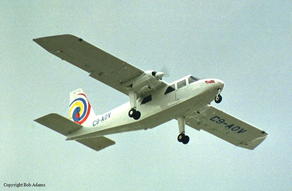
C9-AOV
Survivors:
No
Site:
Schedule:
Beira - Mutare - Harare
MSN:
624
YOM:
1970
Country:
Region:
Crew on board:
2
Crew fatalities:
Pax on board:
4
Pax fatalities:
Other fatalities:
Total fatalities:
6
Circumstances:
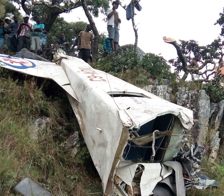
The twin engine aircraft was performing a charter flight from Beira to Harare with an intermediate stop in Mutare on behalf of the Mozambican company Cornelder. Ten minutes before its ETA in Mutare Airport, while descending to the altitude of 5,200 feet, the crew encountered marginal weather conditions when the aircraft hit obstacles and crashed on the slope of a mountain located in the Vumba Botanical Reserve. The wreckage was found 23 km southeast from the airport. It appears that a passenger survived but later died from his injuries. Among the passengers were Adelino Mesquita, brother of the Minister of Transport and Communications of the Republic of Mozambique.
Probable cause:
Controlled flight into terrain.

Crash of a Lockheed C-130H Hercules in Wamena: 13 killed

Date & Time: Dec 18, 2016 at 0609 LT
Type of aircraft:
Operator:
Registration:
A-1334
Flight Type:
Survivors:
No
Site:
Schedule:
Timika – Wamena
MSN:
4785
YOM:
1978
Country:
Region:
Crew on board:
12
Crew fatalities:
Pax on board:
1
Pax fatalities:
Other fatalities:
Total fatalities:
13
Circumstances:
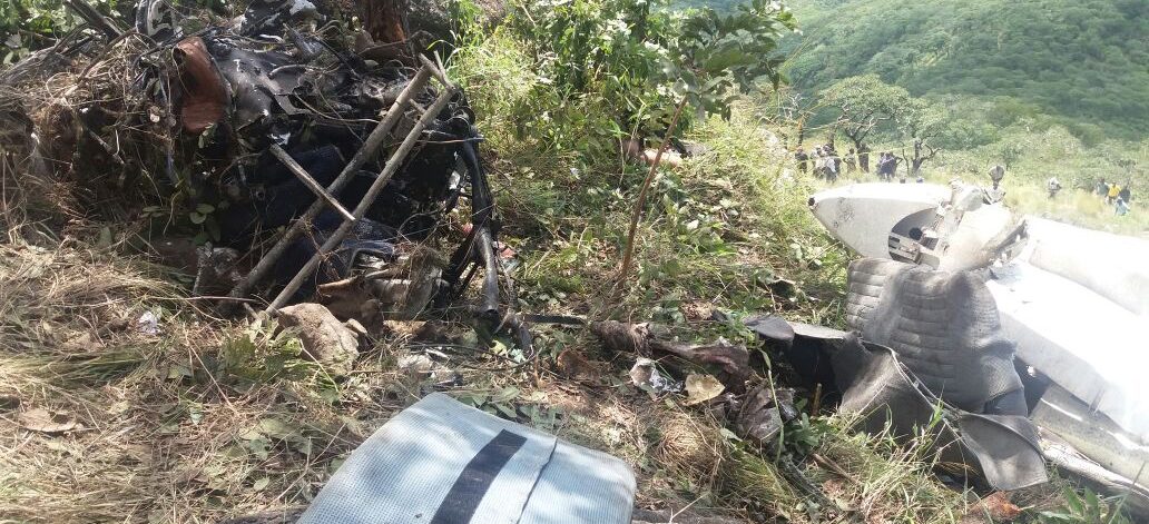
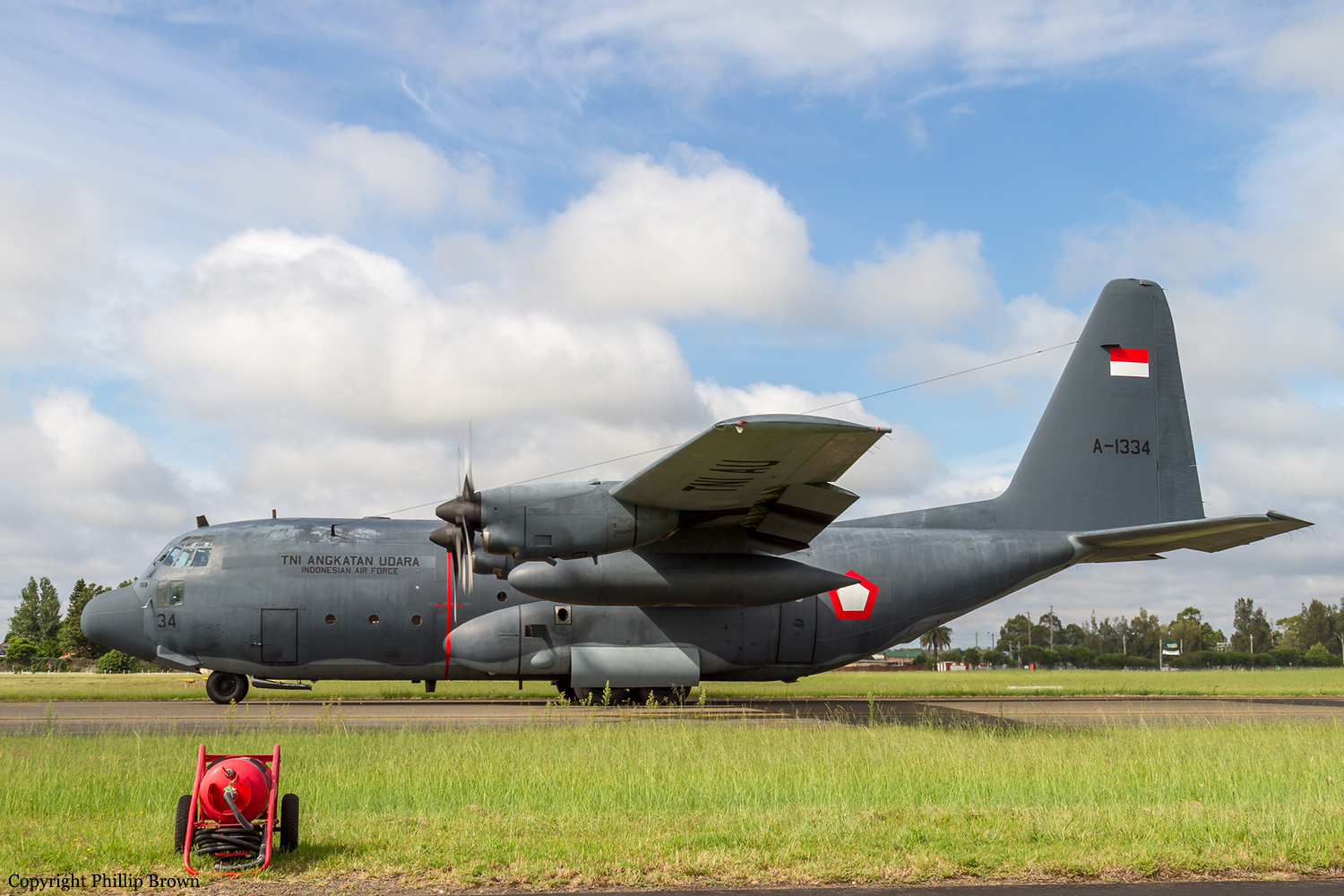
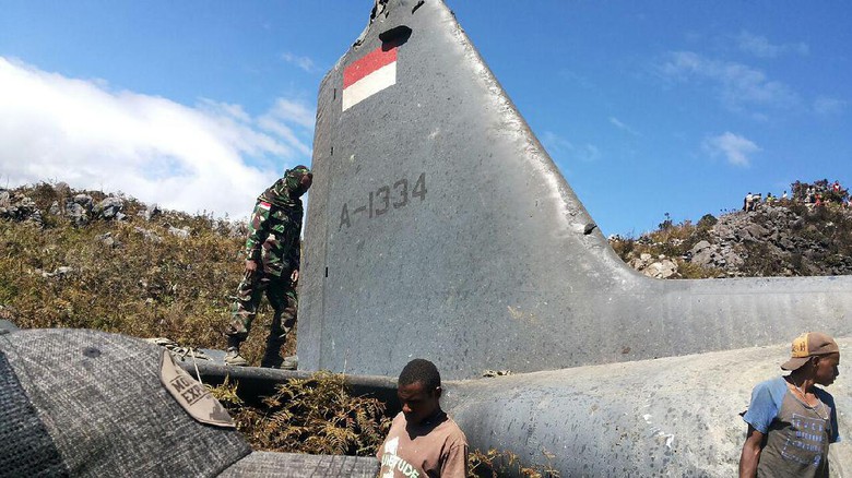
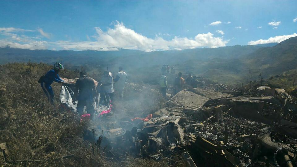
The four engine aircraft departed Timika-Moses Kilangin Airport at 0535LT bound for Wamena. While approaching Wamena, the crew encountered marginal weather conditions and the aircraft descended through several cloud layers when it impaxted a hilly terrain about four minutes before ETA at 0613LT. The aircraft was destroyed by impact forces and a post crash fire and all 13 occupants were killed. The wreckage was found less than 2 km southeast from runway 33 threshold.

Crash of a Pacific Aerospace 750XL Falcon 3000 near Tiniroto: 2 killed

Date & Time: Dec 12, 2016 at 0857 LT
Operator:
Registration:
ZK-JPU
Flight Phase:
Flight Type:
Survivors:
No
Site:
MSN:
117
YOM:
2005
Country:
Region:
Crew on board:
1
Crew fatalities:
Pax on board:
1
Pax fatalities:
Other fatalities:
Total fatalities:
2
Captain / Total flying hours:
8518
Captain / Total hours on type:
3210.00
Aircraft flight hours:
8028
Circumstances:
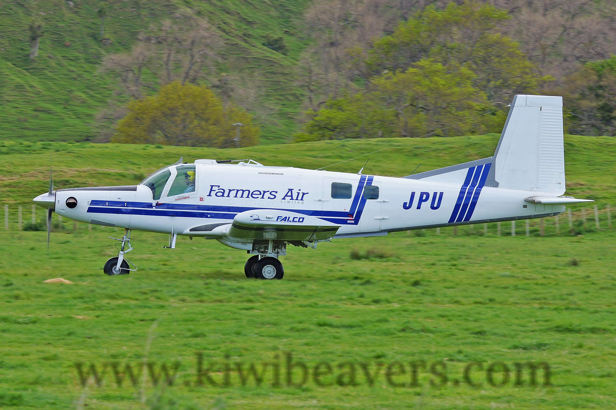
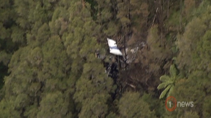
At approximately 0500 hrs, 12 December 2016, the pilot of ZK-JPU, arrived at Gisborne Aerodrome. The pilot was accompanied by the operator’s recently employed (trainee) loader driver and already at the hangar was a senior loader driver. The pilot conducted the preflight checks of the aircraft for the day’s agricultural aircraft operations. Earlier that morning the Managing Director of the operator had called the pilot of ZK-JPU. The Managing Director requested that after finishing the first aerial topdressing task at Tauwharetoi Station and prior to the next planned task at Waimaha Station, the pilot complete a task at Pembroke Station. This was because the Managing Director was unwell and unable to undertake the Pembroke Station task as planned. The pilot of ZK-JPU agreed to the additional task. The original work plan for the day was for both loader drivers to attend the first task at Tauwharetoi Station, with the senior loader driver providing oversight for the trainee loader driver. The pilot and the senior loader driver were then to proceed to the second task of the day, while the trainee loader driver was scheduled to return to the aerodrome with the loader truck from the first task. The expectation was for the pilot to go straight from the Tauwharetoi Station task to the Pembroke Station task and then proceed to Waimaha Station. ZK-JPU departed Gisborne Aerodrome at approximately 0515 hrs with the pilot and both loader drivers on board. The aircraft was to operate from a nearby private airstrip where the loader truck was already located, as the task had been commenced the previous week. The aircraft landed at the airstrip at approximately 0530 hrs and the pilot assisted the senior loader driver to get the truck ready, double-checking the calibration of the weigh scales and fuel drain, before commencing the task at approximately 0600 hrs. On the day of the accident another pilot from the same operator, who was operating a similar Pacific Aerospace Ltd 750XL, ZK-XLA, was aerial topdressing an area of Bushy Knoll Station, operating off the Tongataha airstrip. Bushy Knoll Station is to the north of Tauwharetoi Station, alongside the route to the next two tasks scheduled for ZK-JPU at Pembroke and Waimaha Stations. The pilot of ZK-XLA commenced operating at approximately 0555 hrs and completed two to three loads before hearing the pilot of ZK-JPU over the radio at approximately 0615 hrs. The brief conversation that followed consisted of an exchange of greetings and description of locations and intentions. Both pilots then continued with their tasks without further direct communication. On completion of the first task the pilot of ZK-JPU landed at the private airstrip and instructed the senior loader driver to pack up the gear and head back to base. The senior loader driver refuelled the aircraft with 100 litres of fuel, packed up the gear and gave the trainee loader driver the radio which had been used to communicate with the pilot. After a 15 minute break the pilot of ZK-JPU was observed by the senior loader driver getting into the left seat of the aircraft and the trainee loader driver into the right seat. The senior loader driver observed ZK-JPU take off, and then departed the airstrip in the loader truck, to return to the aerodrome. At approximately 0850 the pilot of ZK-XLA received a radio call from the pilot of ZKJPU asking “are you breaking left or right?” followed by the pilot of ZK-JPU stating “I am to your left”. ZK-JPU was then observed by the pilot of ZK-XLA flying behind and to the left of ZK-XLA. The pilot of ZK-XLA advised the pilot of ZK-JPU that he was “sowing the boundary of Bushy Knoll Station […] finishing my run and […] turning right to head back to the airstrip”. Spanning the valley near the boundary of Bushy Knoll Station, near to where the pilot of ZK-XLA was operating were a set of 110 kV high voltage power lines (consisting of six wires termed ‘conductors’, supported by towers). These conductors comprised the two circuits supplying electricity to Gisborne and the East Coast region. The span traverses the valley approximately east-west and the height above terrain at the mid-span of the bottom two conductors (the lowest point of the span) was approximately 200 ft. At 0857 hrs the power supply to Gisborne and the East Coast was interrupted. Finishing the topdressing run, the pilot of ZK-XLA commenced a right climbing turn in order to return to the airstrip and sighted ZK-JPU over his right shoulder. At this point the pilot of ZK-XLA noted that something was trailing from the left wing of ZKJPU. Realising that the item trailing from ZK-JPU’s wing was a wire, the pilot of ZKXLA transmitted “you are trailing wire’’, however no response was received from ZK-JPU. The pilot of ZK-XLA witnessed ZK-JPU continue down the valley, slowly rolling to the left before impacting terrain, approximately 700 m further to the south. A postimpact fire ensued with the pilot of ZK-XLA observing “a lot of black smoke”. The pilot of ZK-XLA immediately commenced circling the accident site and attempted to call the operator via cellphone. Unable to make contact the pilot activated the emergency communications facility on the flight following equipment installed in the aircraft and reported the accident to Gisborne Tower. The accident occurred in daylight at 0857 hrs, approximately 24 NM W of Gisborne Aerodrome, at Latitude: S 38° 44' 30.85" Longitude: E 177° 28' 37.41".
Probable cause:
Conclusions
3.1 The aircraft struck six 110 kV high voltage power lines.
3.2 The pilot likely experienced inattentional blindness, in that the pilot’s attention was likely engaged on the other aircraft and thus the pilot failed to perceive the visual stimuli.
3.3 The pilot was appropriately rated and licensed to conduct the flight.
3.4 Research has shown that striking a wire that the pilot was aware of usually occurred because something changed, such as a last minute change of plan.
3.5 The pilot elected to change the plan at the last minute and detour during the positioning flight to an area where a pilot from the same operator was also conducting aerial topdressing.
3.6 The pilot did not conduct a hazard briefing for the area about to be flown and thus did not afford himself the most accurate and well informed mental model of the area the pilot elected to operate in.
3.7 Several human factors likely influenced the pilot’s decision-making and risk perception leading to the decision to change the original plan and deviate from the minimum heights as stipulated by CAR 91.311 and operators SOPs.
3.8 The safety investigation did not identify any mechanical defects which may have contributed to the accident.
3.9 The accident was not survivable.
Final Report:

Crash of an ATR42-500 near Havelian: 47 killed

Date & Time: Dec 7, 2016 at 1620 LT
Type of aircraft:
Operator:
Registration:
AP-BHO
Flight Phase:
Survivors:
No
Site:
Schedule:
Chitral – Islamabad
MSN:
663
YOM:
2007
Flight number:
PK661
Country:
Region:
Crew on board:
5
Crew fatalities:
Pax on board:
42
Pax fatalities:
Other fatalities:
Total fatalities:
47
Captain / Total flying hours:
11265
Captain / Total hours on type:
1216.00
Copilot / Total flying hours:
570
Copilot / Total hours on type:
369
Aircraft flight hours:
18739
Circumstances:
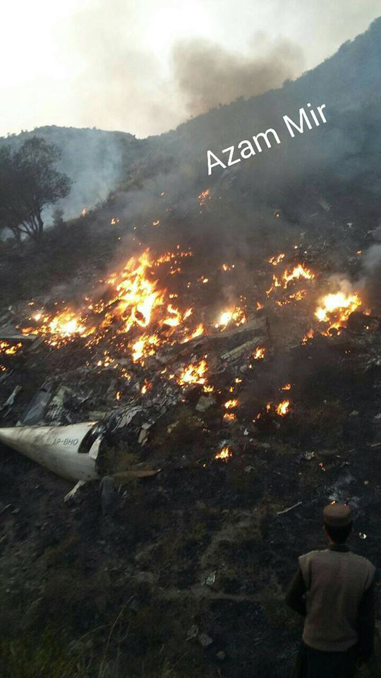
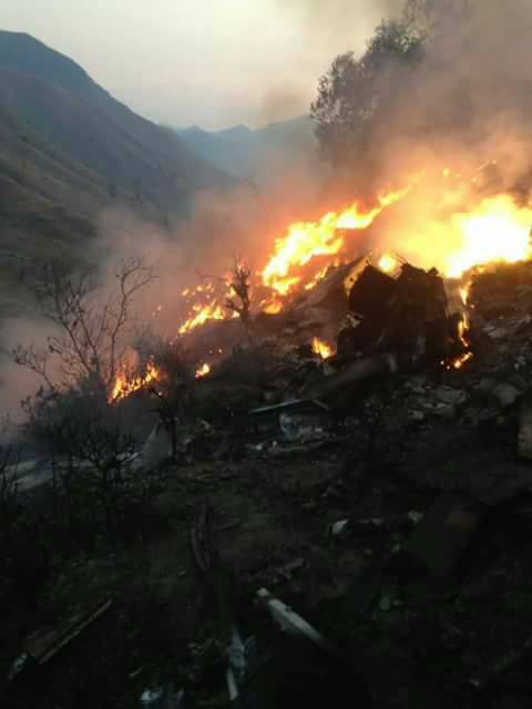
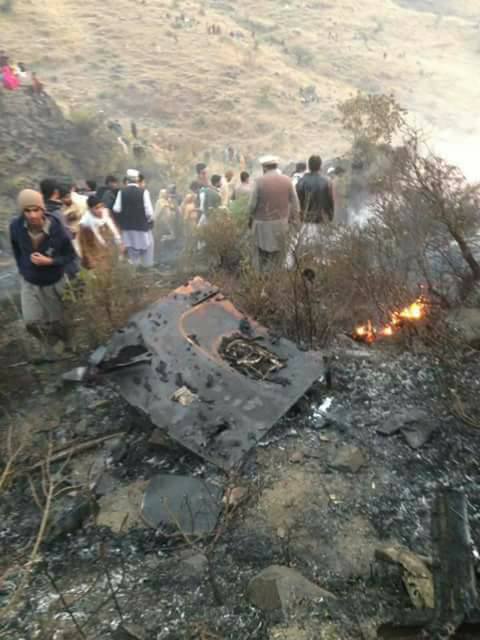
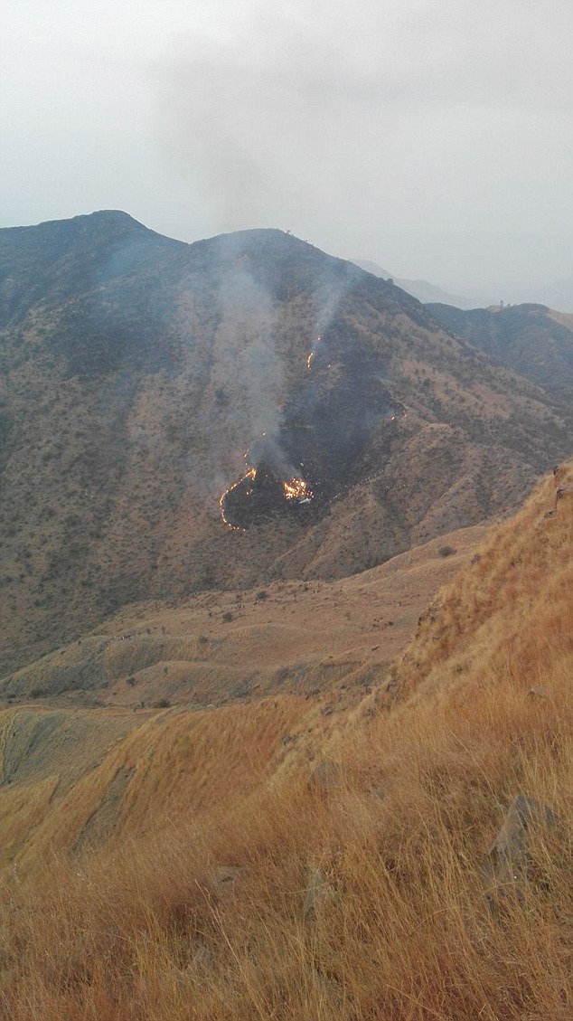
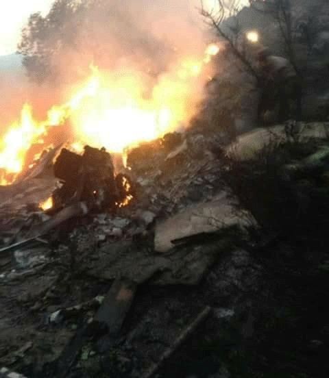
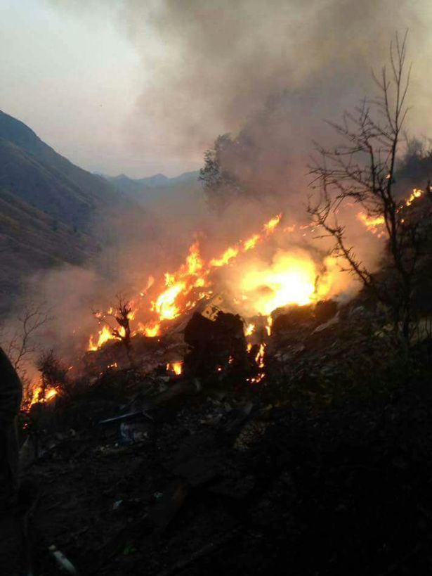
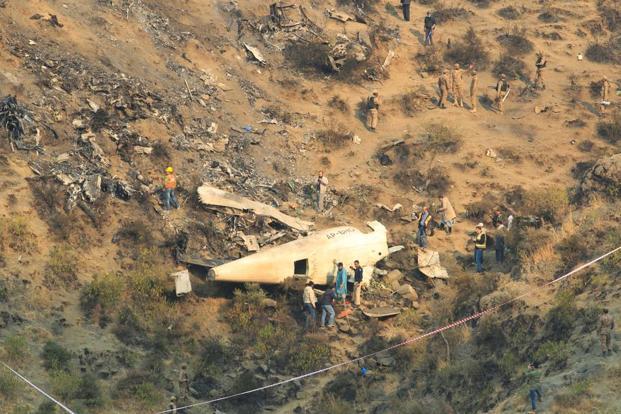
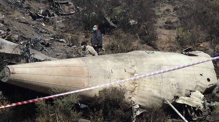
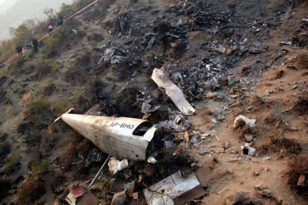
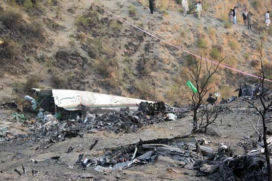
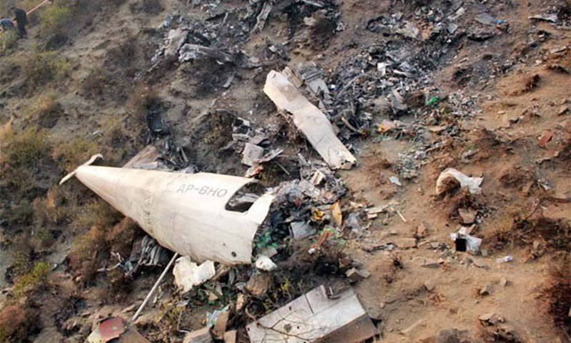
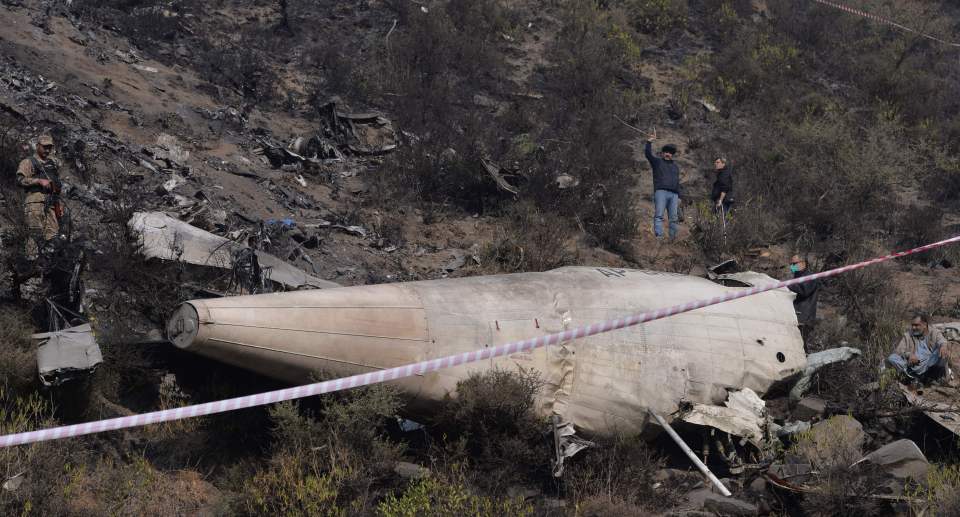
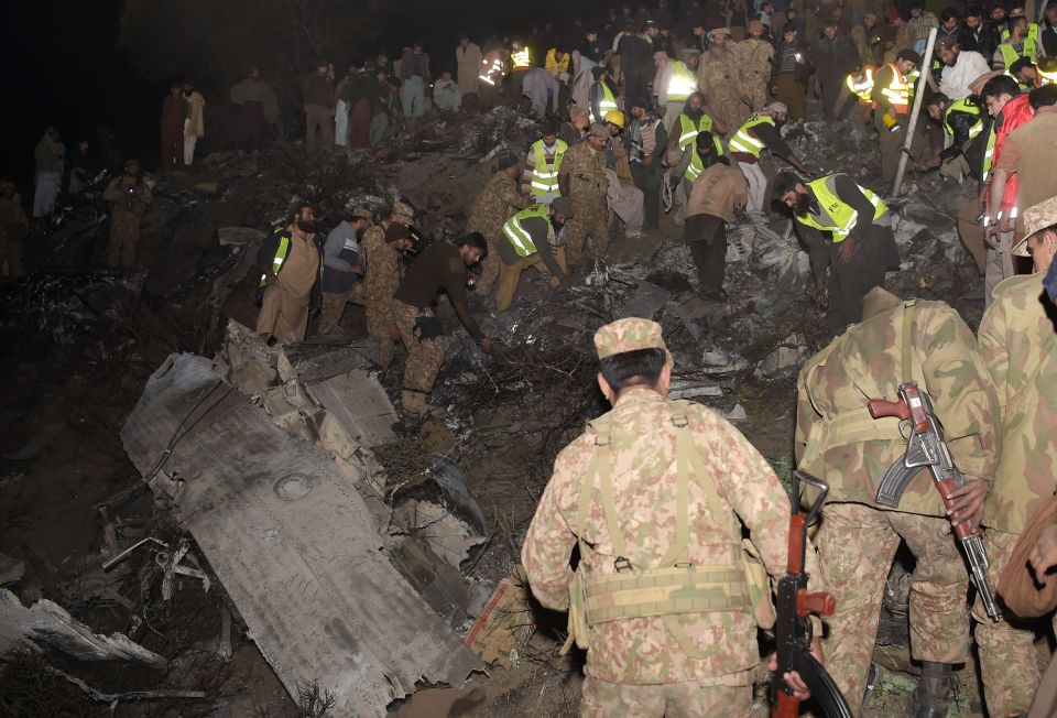
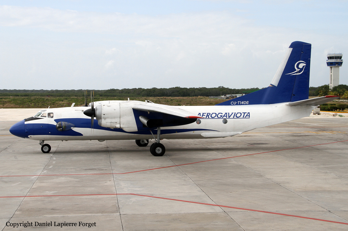
On 07 December 2016 morning, after a routine daily inspection at Benazir Bhutto International Airport (BBIAP) Islamabad, Pakistan International Airlines (PIA) aircraft ATR42-500 Reg No AP-BHO operated 05 flights (ie Islamabad to Gilgit and back, Islamabad to Chitral, Chitral to Peshawar and back). As 6th and last flight of that day, it took off from Chitral at time 10:38:50 UTC (15:38:50 PST) with 42 passengers (including 01 engineer) and 05 crew members (03 pilots and 02 cabin crew) aboard for Islamabad. It crashed after 42 minutes of flight at 11:20:38 UTC (16:20:38 PST) about 3.5 Nautical Miles (NM) SSE of Havelian, and 24 NM North of BBIAP Islamabad. All 47 souls aboard were fatally injured. The aircraft remained in air for about 42 minutes before crash (all timings in UTC). These 42 minutes have been split into three stages of flight, described hereunder:

(a) Initial Stage: From 10:38 to 11:04 (~26 minutes) degraded speed governing accuracy of the port propeller was evident in the DFDR data, but was apparently not observed by the cockpit crew. The flight stabilized at an altitude 13,500 feet AMSL and a cruising speed of 186 knots IAS (instead of expected 230 knots IAS). There were two latent pre-existing technical anomalies in the aircraft (a Fractured / dislodged PT-1 blade due to a known quality issue and a fractured pin inside the OSG), and one probable latent pre-existing condition (external contamination) inside the PVM of No 1 Engine. Digital Flight Data Recorder (DFDR) analysis indicates that No 1 Engine was degraded.

(b) Middle Stage (Series of Technical Malfunctions): From 11:04 to 11:13 (~09 minutes), a series of warnings and technical malfunctions occurred to No 1 Engine (left side) and its related propeller control system. These included Propeller Electronic Control (PEC) fault indications, followed by No 1 Engine power loss, and uncontrolled variation of its propeller speed / blade pitch angle abnormal system operation). The propeller speed which was initially at 82% (cruise setting) decreased gradually to 62% and later at the time of engine power loss it increased to 102% (and stayed at that value for about 15 to 18 seconds). It then reduced down to Non Computed Data (NCD) as per DFDR. At this point, (based on simulation results) the blade pitch angle increased (possibly close to feather position). Later, the propeller speed increased to 120% to 125% (probably caused due to unusual technical malfunctions) and stayed around that value for about 40 to 45 seconds. It finally showed an abrupt drop down to NCD again. At this point, (based on simulation results) the blade pitch angle may have settled at a value, different from the expected feathered propeller. During this unusual variation of propeller speed, there were drastic variations in the aircraft aerodynamic behaviour and sounds. The directional control was maintained initially by the Auto-Pilot. A relatively delayed advancement of power (of No 2 Engine) post No 1 Engine power loss, reduction of power (of No 2 Engine) for about 15 seconds during the timeframe when left propeller rpm was in the range of 120% to 125%, and once again a reduction of power towards the end of this part of flight, were incorrect pilot actions, and contributed in the IAS depletion. Auto-Pilot got disengaged. Towards the end of this part of flight, the aircraft was flying close to stall condition. No 1 Engine was already shutdown and No 2 Engine (right side) was operating normal. At this time, IAS was around 120 knots; aircraft started to roll / turn left and descend. Stick shaker and stick pusher activated. Calculated drag on the left side of the aircraft peaked when the recorded propeller speed was in the range of 120% to 125%. During transition of propeller speed to NCD, the additional component of the drag (possibly caused due to abnormal behaviour of left propeller) suddenly reduced. The advancement of power of No 2 Engine was coupled with excessive right rudder input (to counter the asymmetric condition). This coincided with last abrupt drop in the propeller speed. As a combined effect of resultant aerodynamic forces aircraft entered into a stalled / uncontrolled flight condition, went inverted and lost 5,100 feet AMSL altitude (ie from ~13,450 feet to 8,350 feet AMSL).

(c) Final Stage: The final stage of flight from 11:13 to 11:20 (~07 minutes) started with the aircraft recovering from the uncontrolled flight. Although blade pitch position was not recorded (in the DFDR – by design), and it was not possible to directly calculate that from the available data, a complex series of simulations and assumptions estimated that the blade pitch of left propeller may have settled at an angle around low pitch in flight while rotating at an estimated speed of 5%. Aircraft simulations indicated that stable additional drag forces were present on the left side of the aircraft at this time and during the remaining part of flight. Aircraft had an unexpected (high) drag from the left side (almost constant in this last phase); the aircraft behavior was different from that of a typical single engine In Flight Shutdown (IFSD) situation. In this degraded condition it was not possible for the aircraft to maintain a level flight. However, that level of drag did not preclude the lateral control of the aircraft, if a controlled descent was initiated. The aircraft performance was outside the identified performance envelope. It was exceptionally difficult for the pilots to understand the situation and hence possibly control the aircraft. Figure hereunder shows different stages of flight.
Probable cause:
The following factors were reported:
Probable Primary Factors:
(a) The dislodging / fracture of one PT-1 blade of No 1 Engine triggered a chain of events. Unusual combination of fractured / dislodged PT-1 blade with two latent factors caused off design performance of the aircraft and resulted into the accident.
(b) The dislodging / fracture of PT-1 blade of No 1 Engine occurred after omission from the EMM (Non-Compliance of SB-21878) by PIA Engineering during an unscheduled maintenance performed on the engine in November 2016, in which the PT-1 blades had fulfilled the criteria for replacement, but were not replaced.
(c) Fracture / dislodging of PT-1 blade in No 1 Engine, after accumulating a flying time slightly more than the soft life of 10,000 hrs (ie at about 10004.1 + 93 hrs) due to a known quality issue. This aspect has already been addressed by re-designing of PT-1 blades by P&WC.
Probable Contributory Factors:
(a) A fractured pin (and contamination inside the OSG), contributed to a complex combination of technical malfunctions. The pin fractured because of improper re-assembly during some unauthorized / un-documented maintenance activity. It was not possible to ascertain exact time and place when and where this improper re-assembly may have occurred.
(b) Contamination / debris found in overspeed line of PVM of No 1 Engine probably introduced when the propeller system LRU"s were not installed on the gearbox, contributed to un-feathering of the propeller. It was not possible to ascertain exact time and place when and where this contamination was introduced.
Final Report:

Crash of an Avro RJ85 in La Ceja: 71 killed

Date & Time: Nov 28, 2016 at 2158 LT
Type of aircraft:
Operator:
Registration:
CP-2933
Survivors:
Yes
Site:
Schedule:
Santa Cruz - Medellín
MSN:
E.2348
YOM:
1999
Flight number:
LMI2933
Country:
Crew on board:
4
Crew fatalities:
Pax on board:
73
Pax fatalities:
Other fatalities:
Total fatalities:
71
Captain / Total flying hours:
6692
Captain / Total hours on type:
3417.00
Copilot / Total flying hours:
6923
Copilot / Total hours on type:
1474
Aircraft flight hours:
21640
Aircraft flight cycles:
19737
Circumstances:
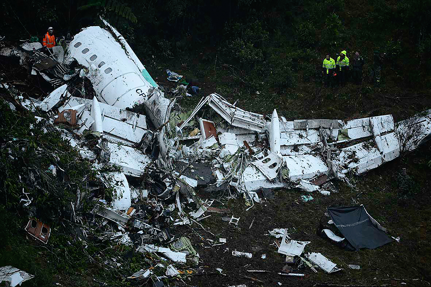
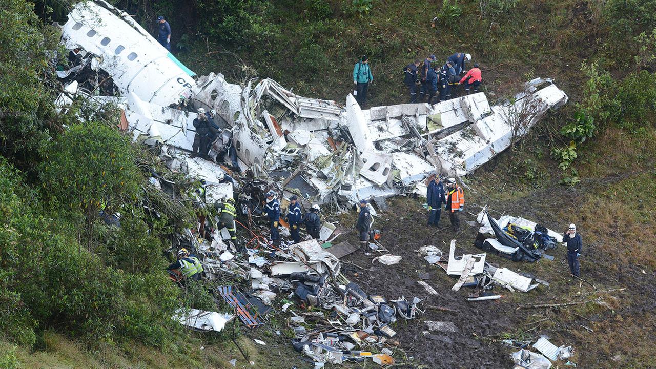
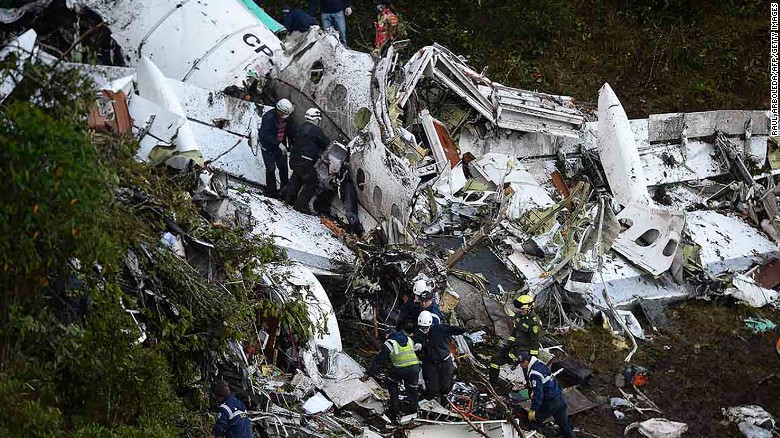
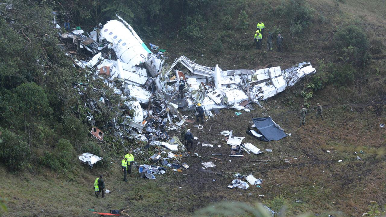
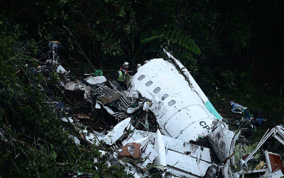
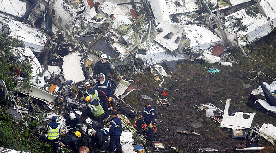
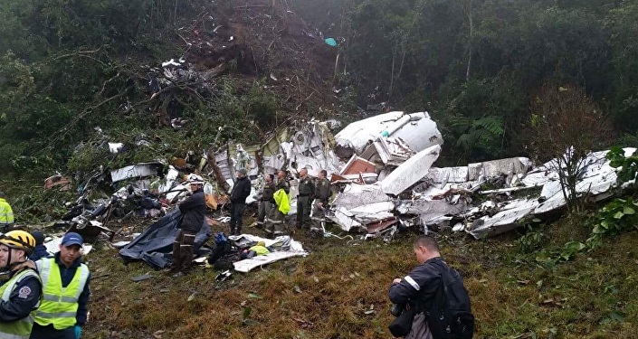
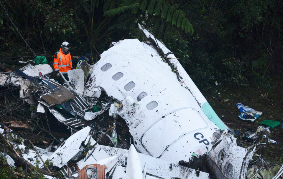
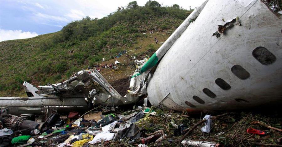
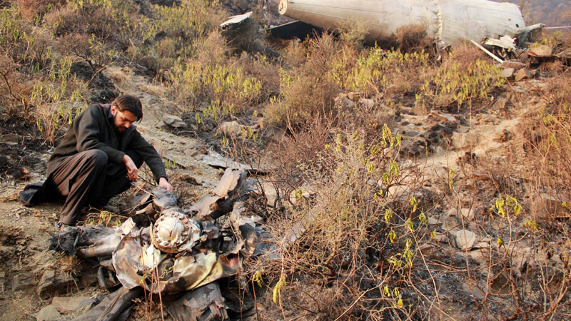
The aircraft was performing a charter flight from Santa Cruz-Viru Viru to Medellín-José María Córdova (Rionegro) Airport, carrying members of the Chapecoense Real soccer team from Brazil who were traveling to Medellín to play against Atletico Nacional for a Copa Sudamericana game. The descent to Medellín was started by night and in good weather conditions when it seems that the encountered electrical problem. At 2156LT, while descending to FL155, the four engine aircraft hit tree tops and crashed in a wooded area located on the slope of a mountain located in the Cerro Gordo, near the city of La Ceja, about 17 km south from runway 01 threshold. The aircraft was totally destroyed upon impact but there was no fire. Six (two crew member and four passengers) were injured and evacuated while 71 other occupants were killed. According to first investigations, the crew encountered electrical problems and the aircraft may have suffered a fuel exhaustion. Due to the combination of several factors and findings that were detected during initial investigations, it was determined that the primary cause of the accident may have been a fuel exhaustion. The board of investigation was then in a process to determine the exact circumstances of the occurrence and to understand the course of events and the exact behavior and flight supervision (instruments, fuel jauges, flight preparation, operations, permission, ground assistance) on part of the flight crew and the operator. On December 2, the Civil Aviation Authority of Bolivia revoked with immediate effect the Air Operator Certificate of LAMIA. All flights have been suspended since.
Probable cause:
It was determined that the accident was the consequence of an inappropriate planning and execution of the flight, since the amount of fuel required to fly from the airport of destination to an alternate airport was not considered, nor was the amount of reserve fuel, nor the contingency fuel, nor the minimum landing fuel, quantities of fuel required by aeronautical regulations for the execution of the type of international flight that the aircraft CP-2339 was performing. The following factors were considered as contributing:
- Loss of situational awareness,
– Premature configuration of the aircraft for landing,
– Latent deficiencies,
– Lack of operational supervision and control of part of Operator,
– Organizational and operational deviation on the part of the Operator (non compliant to standard procedures).
Final Report:

Crash of a De Havilland DHC-4T Caribou near Ilaga: 4 killed

Date & Time: Oct 31, 2016 at 0830 LT
Type of aircraft:
Registration:
PK-SWW
Flight Phase:
Flight Type:
Survivors:
No
Site:
Schedule:
Timika - Ilaga
MSN:
303
YOM:
1972
Country:
Region:
Crew on board:
4
Crew fatalities:
Pax on board:
0
Pax fatalities:
Other fatalities:
Total fatalities:
4
Captain / Total flying hours:
9336
Captain / Total hours on type:
38.00
Copilot / Total flying hours:
3636
Copilot / Total hours on type:
17
Aircraft flight hours:
2748
Aircraft flight cycles:
5953
Circumstances:
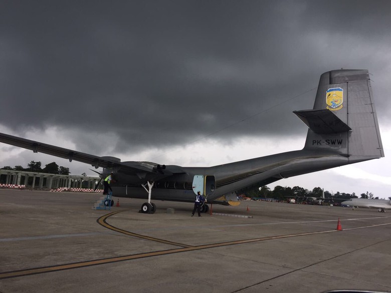
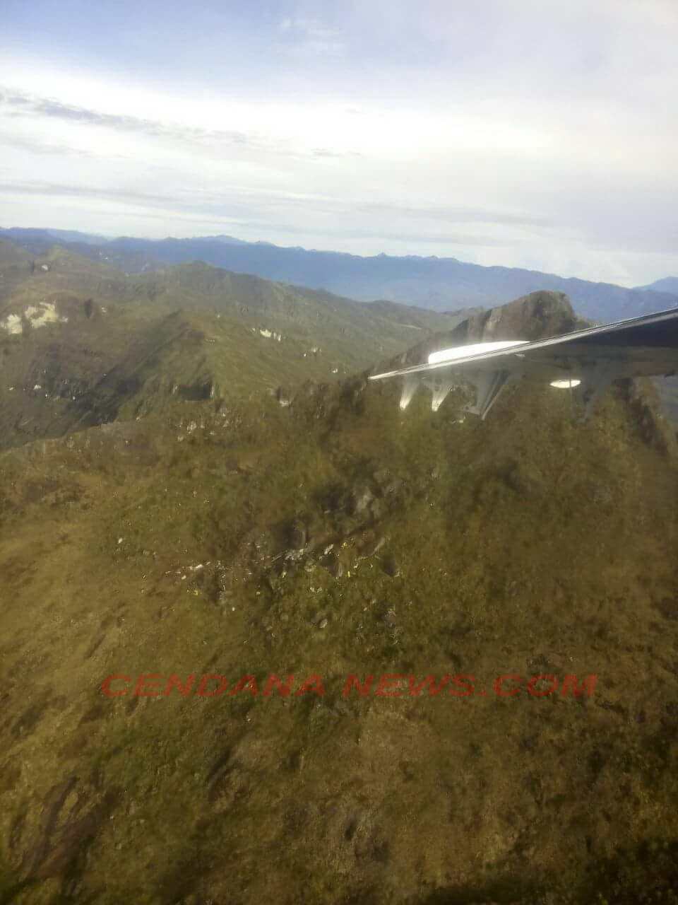
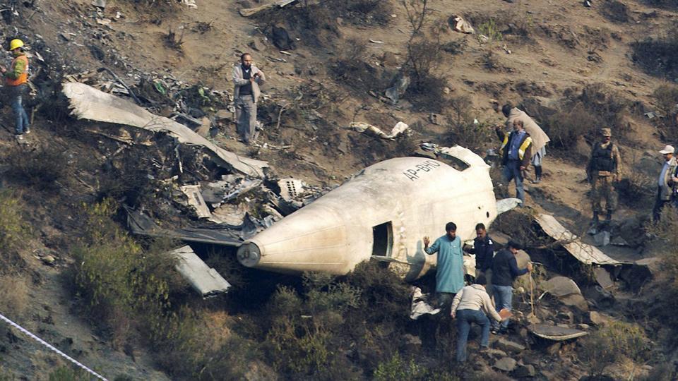
A DHC-4 Caribou aircraft, registered PK-SWW was being operated by Perkumpulan Penerbangan Alfa Indonesia, on 31 October 2016 on an unscheduled cargo flight from Moses Kilangin Airport Timika, with intended destination to Kaminggaru Aerodrome, Ilaga Papua. On board on this flight was 4 persons consisted of two pilots, one company engineer and one flight operation officer. At 2257 UTC, the aircraft departed Timika with intended cruising altitude of 12,500 feet and estimated time of arrival Ilaga at 2327 UTC. At 2323 UTC, the pilot made initial contact with Ilaga Aerodrome Flight Information Services (AFIS) officer and reported that the aircraft position was at Ilaga Pass and informed the estimate time of arrival Ilaga would be on 2327 UTC. Ilaga Aerodrome Flight Information Services (AFIS) officer advised to continue descend to circuit altitude and to report when position on downwind. At 2330 UTC, the AFIS officer called the pilot and was not replied. The AFIS officer asked pilot of another aircraft in the vicinity to contact the pilot of the DHC-4 Caribou aircraft and did not reply. At 0020 UTC, Sentani Aeronautical Information Service (AIS) officer declared the aircraft status as ALERFA. At 0022 UTC, Timika Tower controller received information from a pilot of an aircraft that Emergency Locator Transmitter (ELT) signal was detected approximately at 40 – 45 Nm with radial 060° from TMK VOR (Very High Frequency Omni Range) or approximately at coordinate 4°7’46” S; 137°38’11” E. This position was between Ilaga Pass and Jila Pass. At 0053 UTC, the aircraft declared as DETRESFA. On 1 November 2016, the aircraft wreckage was found on a ridge of mountain between Ilaga Pass and Jila Pass at coordinate 4°5’55.10” S; 137°38’47.60” E with altitude approximately of 13,000 feet. All occupants were fatally injured and the aircraft destroyed by impact force.
Probable cause:
Controlled flight into terrain.
Final Report:

Crash of a Pilatus PC-6/C-H2 Turbo Porter near Port Alsworth: 1 killed

Date & Time: Oct 28, 2016 at 1828 LT
Operator:
Registration:
N5308F
Flight Phase:
Flight Type:
Survivors:
No
Site:
Schedule:
Anchorage – Port Alsworth
MSN:
2068
YOM:
1975
Crew on board:
1
Crew fatalities:
Pax on board:
0
Pax fatalities:
Other fatalities:
Total fatalities:
1
Captain / Total flying hours:
6400
Circumstances:
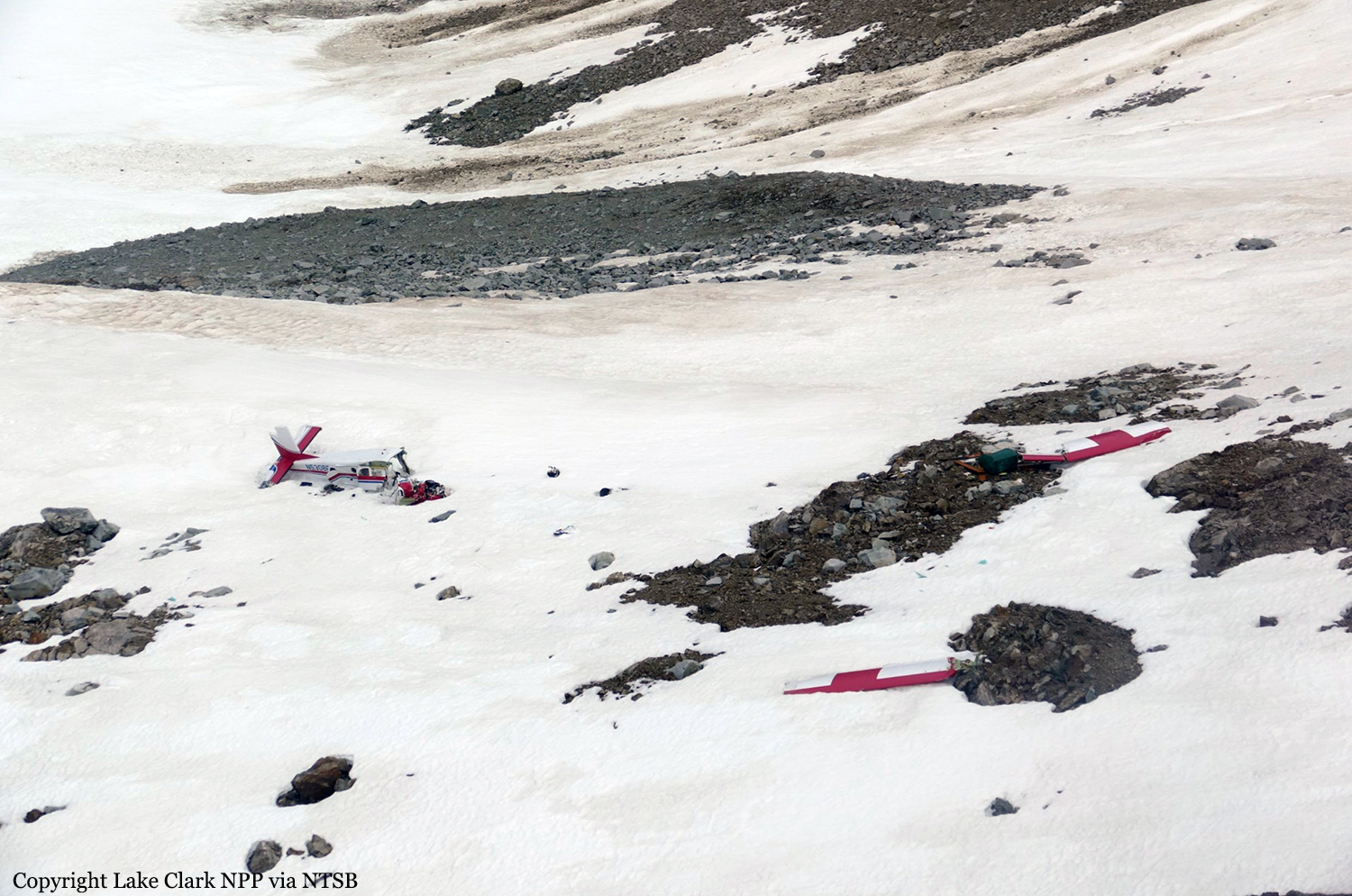
The commercial pilot was conducting a cross-country flight to a family residence in the turbinepowered, single-engine airplane. The pilot was familiar with the route, which traversed a mountain pass and remote terrain. Before departing on the flight, the pilot communicated with a family member at the residence via text messages and was aware the weather was windy but that the mountain tops were clear. There was no record of the pilot obtaining a preflight weather briefing from an official, accesscontrolled source, and the pilot indicated to a friend before departure that he had not accessed weather cameras. Weather forecast products that were available to the pilot revealed possible turbulence at low altitudes and icing at altitudes above 12,000 ft along the route of flight, and weather cameras along the planned route and near the destination would have indicated deteriorating visibility in snow showers and mountain obscuration starting about 1.5 hours before departure. The airplane departed and proceeded toward the destination; radar data correlated to the accident flight indicated that the airplane climbed from 4,600 ft to 14,700 ft before turning west over the mountains. Text messages that the pilot sent during the initial climb revealed that the mountain pass he planned to fly through was obscured, and he intended to climb over the mountains and descend through holes in the clouds as he neared the destination. Radar data also indicated that the airplane operated above 12,500 ft mean sea level (msl) for about 30 minutes, and above 14,000 msl for an additional 14 minutes before entering a gradual descent during the last approximate 20 minutes of flight. Review of weather information indicated that cloud layers over the accident area increased during the 30 minutes before the accident, and it is likely that the airplane was operating in icing conditions, although it was not certified for flight in such conditions, which may have resulted in structural or induction icing and an uncontrolled loss of altitude. The airplane wreckage came to rest on the steep face of a snow-covered mountain in a slight nose-down, level attitude. The empennage was intact, the right wing was completely separated, and the forward fuselage and cockpit were partially separated and displaced from the airframe with significant crush damage, indicative of impact with terrain during forward flight. Page 2 of 10 ANC17FA004 There was no indication that the airplane was equipped with supplemental oxygen; pilots are required to use oxygen when operating at altitudes above 12,500 ft for more than 30 minutes, and anytime at altitudes above 14,000 ft. It could not be determined if, or to what extent, the pilot may have experienced symptoms of hypoxia that would have affected his decision-making. The airplane wreckage was not recovered or examined due to hazardous terrain and environmental conditions, and the reason for the impact with terrain could not be determined; however, it is likely that deteriorating enroute weather and icing conditions contributed to the outcome of the accident.
Probable cause:
The airplane's collision with mountainous terrain while operating in an area of reduced visibility and icing conditions. Contributing to the accident was the pilot's inadequate preflight planning, which would have identified deteriorating weather conditions along the planned route of flight.
Final Report:

Crash of a Cessna T207A Turbo Stationair 8 near Uchuquinua: 3 killed

Date & Time: Oct 9, 2016 at 0900 LT
Operator:
Registration:
OB-1936-P
Flight Phase:
Survivors:
No
Site:
Schedule:
Trujillo - Pucallpa
MSN:
207-0767
YOM:
1984
Country:
Crew on board:
1
Crew fatalities:
Pax on board:
2
Pax fatalities:
Other fatalities:
Total fatalities:
3
Circumstances:
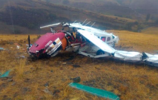
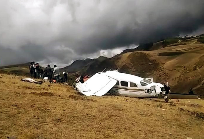
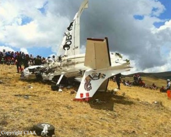
The single engine aircraft was completing a charter flight from Trujillo to Pucallpa, carrying two pilots and pilot. While cruising over the Cajamarca Province, the pilot encountered poor weather conditions with heavy rain falls. He modified his route and was able to continue under VFR mode in good weather conditions. Nevertheless, he continued at an insufficient altitude when the aircraft impacted ground and crashed in a mountainous area. The aircraft was destroyed by impact forces and all three occupants were killed. There was no fire.
Probable cause:
The accident was the consequence of a loss of situational awareness of the pilots, by not making a continuous surveillance during the VFR flight in good weather conditions, not determining timely the corrections of direction or altitude, which finally led them to fail to fly over the ground of the new route adopted in flight, generating a probable aerodynamic loss at the limit of the performance of the aircraft, occurring a CFIT accident.
Contributing factors:
- Limited or poor use of the available GPS Terrain Proximity Warning system.
- Poor or erroneous appreciation of the weather conditions at the beginning of the flight, which led them to vary the route to fly over terrain with higher elevation.
- Limited appreciation of terrain height on the new route in relation to the selected cruising altitude.
Final Report: