Crash of a Fletcher FU-24-950 near Kaitaia: 1 killed

Date & Time: Mar 31, 2006 at 1345 LT
Type of aircraft:
Operator:
Registration:
ZK-EGP
Flight Phase:
Survivors:
No
Site:
Schedule:
Kaitaia - Kaitaia
MSN:
238
YOM:
1977
Country:
Region:
Crew on board:
1
Crew fatalities:
Pax on board:
0
Pax fatalities:
Other fatalities:
Total fatalities:
1
Captain / Total flying hours:
1347
Captain / Total hours on type:
864.00
Aircraft flight hours:
11230
Circumstances:
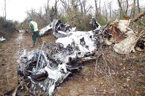
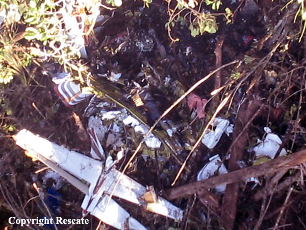
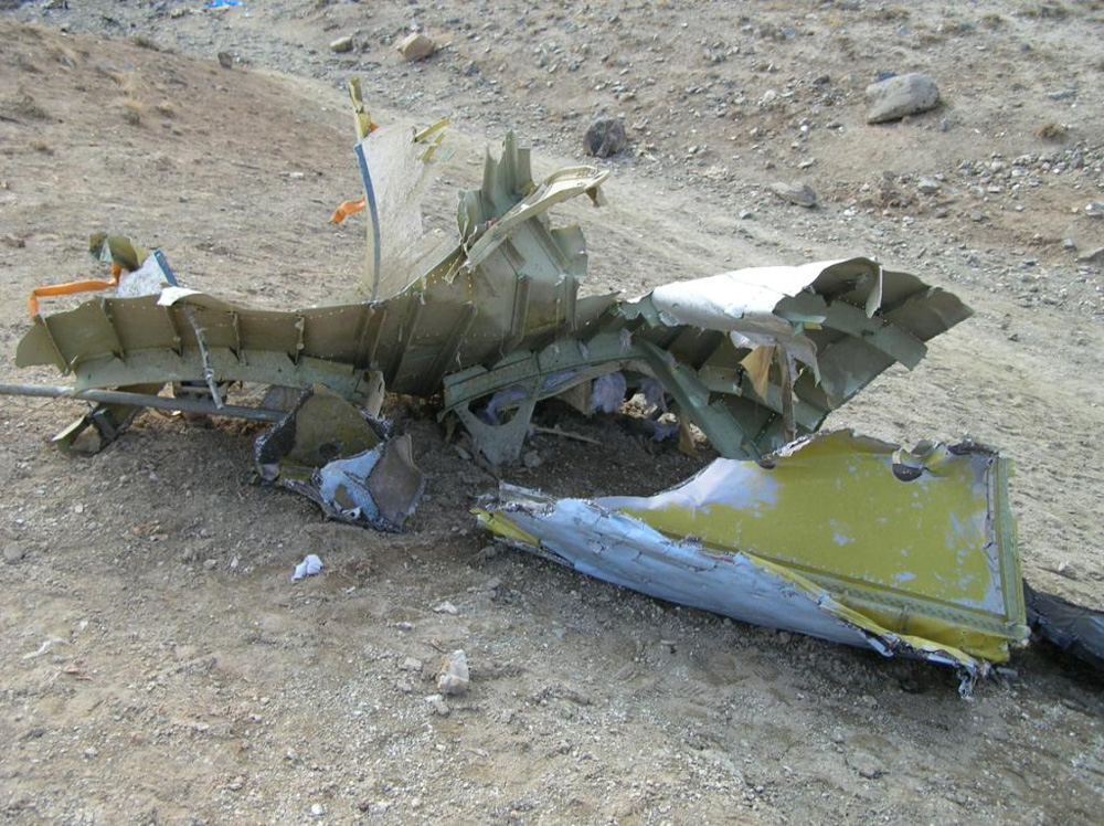
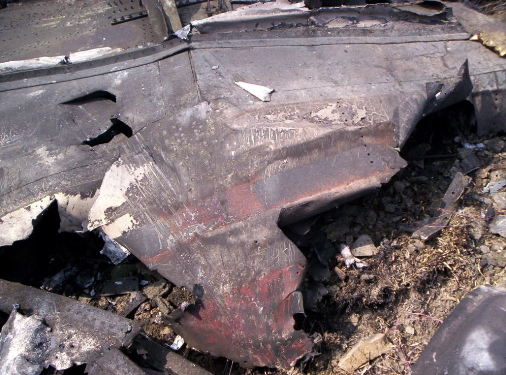
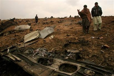
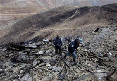
On Friday 31 March 2006 the pilot intended to carry out topdressing on properties near a steep hill range nine kilometres to the south-west of Kaitaia. The day’s activities commenced at approximately 0600 hours when the pilot and loaderdriver met at Kaitaia aerodrome. The pilot and loader-driver flew in the aircraft from the aerodrome to a farm airstrip located on the back of a hill range near the Pukepoto Quarry where the fertiliser-loading truck had been parked overnight. The topdressing operation began in the morning with spreading approximately 25 tonnes of superphosphate on nearby farmland which was stored in the fertiliser bins next to the airstrip. As the last of the superphosphate was being spread, a consignment of fresh lime was delivered by a trucking contractor. The topdressing operation continued with the spreading of the lime on another property near the base of the hill range, about three kilometres from the airstrip. At around 1000 hours, while waiting on another delivery of lime by the trucking contractor, the pilot and loader-driver flew in the aircraft to another airstrip about 20 km to the south-east near Broadwood. They repositioned a fertiliser-loading truck located at this airstrip to another airstrip near Pawarenga, in anticipation of the next day’s topdressing. The pilot and loader-driver then flew back to the original farm airstrip near the Pukepoto Quarry, arriving at approximately 1100 hours. At about this time the pilot received a cell phone call from his supervising Chief Pilot. During the conversation he asked the Chief Pilot for his advice about the best direction for spreading lime on the land that he was currently working on. The pilot also commented about how the lime was ‘hanging up’ and not flowing easily from the aircraft’s hopper. The Chief Pilot cautioned the pilot about the poor flow properties of new lime and advised him to spread the lime in line with the hill range, not up the slope. The topdressing operation then resumed until all the lime in the fertiliser bin had been used. The pilot and loader-driver then stopped for lunch during which time the aircraft was refuelled and another truckload of lime was delivered. The pilot had commented to the loader-driver during lunch that the lime was still hanging up in the aircraft’s hopper. He was finding that he needed to complete about two passes to clear the entire load from the hopper. Just before starting the afternoon’s topdressing flights, the pilot had a conversation on his cell phone with a bank manager in Auckland. The conversation concerned the financial position of his topdressing business. The loader-driver reported that the pilot became very agitated during the conversation, but appeared to calm down prior to beginning the afternoon’s flying. The farm-owner observed the aircraft on its first flight of the afternoon as it completed the first two passes. He was aware that the aircraft had flown further away after these two passes and assumed the aircraft was returning to the airstrip for a second load of lime. He did not notice anything abnormal about the aircraft. Other witnesses reported that the aircraft flew parallel with a plantation of 30-40 metre high trees towards the rising hill range. The closest eye witness reported seeing what appeared to be fertiliser dropping from the aircraft as it flew along the tree line up the slope. The dropping of the fertiliser then stopped at which point the aircraft was seen entering a steep right hand turn away from the slope whilst descending towards the ground. The aircraft disappeared in to tall bush on the hillside and witnesses heard the aircraft impact the ground. A large smoke-like cloud was then seen rising up through the bush. On hearing the impact, the farm-owner and a local share-milker from a nearby farm searched the hillside for the aircraft. The aircraft was obscured by the tall bush and was initially difficult to locate. The share-milker made his way down the hillside through the bush to the aircraft. He quickly realised that the pilot was deceased. The farmer-owner went to alert the emergency services, however another property owner who had heard the aircraft strike the ground and seen the smoke had already telephoned the New Zealand Police. The accident occurred in daylight, at approximately 1345 hours NZDT, 9 km south-west of Kaitaia at an elevation of 880 feet AMSL. Latitude: S 35° 10' 26.1", longitude: E 173° 11' 29.4"; grid reference: NZMS 260 N05 283698.
Probable cause:
Conclusions:
- The pilot was appropriately licensed and was being supervised as required by Civil Aviation Rules.
- The aircraft had been maintained in accordance with the requirements of Civil Aviation Rules, and had a valid airworthiness certificate.
- There was no evidence that the aircraft had suffered any mechanical problem which may have contributed to the accident.
- The probable initiator of the accident was a hung load of lime which would have limited the climb performance of the aircraft. Factors contributing to the accident were the steep rising terrain and a high tree line which restricted the turning options for the pilot.
- The pilot flew the aircraft into a situation where he had limited recovery options. Due to his limited agricultural flying experience, he may not have appreciated his predicament until it was too late or taken recovery action early enough. The aircraft appears to have aerodynamically stalled during a right hand turn from which there was insufficient height to recover.
- In addition, the pilot’s decision making ability and concentration may have been impaired to some degree by various distractions and fatigue.
- The accident was not survivable.
- The standard sight (observation) window installed on Fletcher aircraft is an impractical method for pilots to monitor the upper level of the hopper contents during flight, particularly with a product like lime which has a higher relative density compared to other fertiliser products.
Final Report:

Crash of a Cessna 208B Grand Caravan in Oak Glen: 2 killed

Date & Time: Mar 28, 2006 at 1655 LT
Type of aircraft:
Operator:
Registration:
N208WE
Flight Phase:
Flight Type:
Survivors:
No
Site:
Schedule:
Thermal - Ontario
MSN:
208B-1171
YOM:
2006
Crew on board:
2
Crew fatalities:
Pax on board:
0
Pax fatalities:
Other fatalities:
Total fatalities:
2
Captain / Total flying hours:
2300
Copilot / Total flying hours:
1792
Copilot / Total hours on type:
740
Aircraft flight hours:
52
Circumstances:
The airplane was operated by the manufacturer and was on a sales demonstration itinerary. On the accident flight the airplane was being repositioned following a demonstration and the two pilots included a commercially licensed manufacturer's sales pilot and a private licensed regional sales distributor. One of the two pilots onboard requested, and received, an abbreviated weather briefing prior to departure, the details of which included an airman's meteorological information notice (AIRMET) for occasional moderate rime ice. He then filed an instrument flight rules flight plan for a route passing over mountainous terrain, with a published Minimum En route Altitude (MEA) for the airway that was above the predicted icing level. The flight plan was not activated and the pilots told a TRACON controller who was providing VFR advisories that they intended to continue under visual flight rules through a mountain pass and open their IFR flight plan after reaching the other side of the pass where the MEA was lower. A review of the mode C reported altitudes flown by the pilots and an analysis of the cloud bases and tops revealed that the flight was likely in at least intermittent, if not mostly solid, instrument meteorological conditions as it flew through the pass. As the flight approached the other end of the pass, the controller advised the pilots that the radar showed they were heading into rising terrain. The controller asked, "Do you have the terrain in sight?" One of the pilots responded, "we're maneuvering away from the terrain right now." After that, radar contact was lost. Recorded radar data showed that the airplane made a righthand turn toward rising terrain while continuing to climb to an approximate altitude of 8,800 feet mean sea level (msl). The last minute of radar data showed the airplane at altitudes of 8,000 feet msl, 8,800 feet msl, and 8,600 feet msl. The last radar return was at an altitude of 7,300 feet msl. An aircraft performance study was accomplished using recorded radar data and aerodynamic data provided by Cessna. Based on the radar data and other relevant information, as the aircraft turned toward the rising terrain, the bank angle steadily increased, until a very abrupt change in pitch consistent with a stall occurred, and the airplane departed controlled flight and descended at a very steep nose down attitude into the mountainous terrain. The airplane wreckage was subsequently located at an elevation of 6,073 feet. Nearby ground witnesses first noticed the sound of the airplane, that then suddenly changed to a high pitched increasing rpm. Witnesses then saw the accident airplane coming out of the clouds almost straight nose down. The witnesses described the weather as cold with drizzling rain and reduced visibility due to the clouds. Examination of the wreckage revealed no evidence of mechanical malfunction or failure.
Probable cause:
The pilot's continued flight into instrument meteorological weather conditions and his subsequent failure to maintain an adequate airspeed while maneuvering, that led to a stall/spin.
Final Report:
Crash of a Cessna 421C Golden Eagle III in Pamplona: 2 killed

Date & Time: Mar 7, 2006 at 1648 LT
Operator:
Registration:
EC-JAX
Survivors:
Yes
Site:
Schedule:
Madrid - Pamplona
MSN:
421C-0337
YOM:
1977
Country:
Region:
Crew on board:
2
Crew fatalities:
Pax on board:
4
Pax fatalities:
Other fatalities:
Total fatalities:
2
Captain / Total flying hours:
1771
Captain / Total hours on type:
520.00
Copilot / Total flying hours:
7000
Copilot / Total hours on type:
460
Aircraft flight hours:
3518
Circumstances:
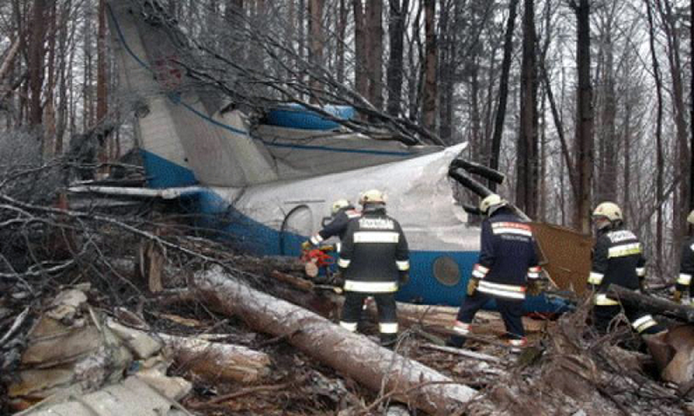
The twin engine aircraft departed Madrid-Torrejón AFB on a charter flight to Pamplona with 4 businessmen and a crew of two on board. While descending to Pamplona-Noain Airport, the crew encountered marginal weather conditions. Unable to establish a visual contact with runway 15, the crew initiated a go-around procedure. Few minutes later, while flying at an insufficient altitude, the aircraft impacted ground and crashed in a hilly terrain located in the Sierra de Tajonar, near the village of Labiano. The copilot and a passenger were killed while all other occupants were seriously injured. The aircraft was totally destroyed by impact forces and a post crash fire.
Probable cause:
The crew did not establish a visual contact with the runway and initiated a go-around procedure during which approximations were noted in the flight techniques adopted by the pilots who continued the flight in unstable conditions. As a result, the aircraft was 16 ° off the prescribed path and was flying at an insufficient altitude.
The following contributing factors were identified:
- The wind did not correspond to the component reported in the bulletin published for the destination airport, which affected the aircraft flight path,
- The total weight of the airplane was higher than the allowable limit and the CofG was out of permissible limits, reducing the aircraft's performances and its maneuverability,
- The pilots did not have sufficient experience in instrument flight conditions,
- The lack of clear procedures within the operator,
- The lack of supervision from the Spanish Civil Aviation Authority regarding the activities of the operator.
Final Report:

Crash of a Cessna 501 Citation I/SP near Sulaymānīyah: 6 killed

Date & Time: Feb 16, 2006 at 1115 LT
Type of aircraft:
Operator:
Registration:
D-IMRX
Survivors:
No
Site:
Schedule:
Munich - Budapest - Baku - Sulaymānīyah
MSN:
501-0688
YOM:
1985
Country:
Region:
Crew on board:
1
Crew fatalities:
Pax on board:
5
Pax fatalities:
Other fatalities:
Total fatalities:
6
Circumstances:
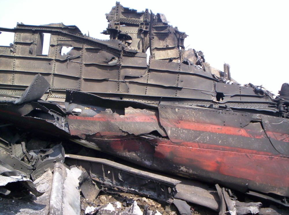
The aircraft was performing a business flight from Baku to Sulaymānīyah with 5 passengers and one pilot on board. It departed Munich to Baku via Budapest on February 14. As it descended through the altitude of 8,000 feet, the aircraft disappeared from radar screens and crashed near Buschin, few dozen km from Sulaymānīyah Airport. The wreckage was found on February 19 in a snow covered and hilly terrain. All 6 occupants were killed, among them 4 German businessmen, one pilot and one translator. The aircraft was owned by the German Company Hasit Trockenmörtel, specialised in building reconstruction.

Crash of a Rockwell Grand Commander 680 in Cuchilla La Marimonda: 1 killed

Date & Time: Feb 3, 2006
Operator:
Registration:
YV-714CP
Flight Phase:
Flight Type:
Survivors:
No
Site:
MSN:
680-1689-69
YOM:
1967
Country:
Crew on board:
1
Crew fatalities:
Pax on board:
0
Pax fatalities:
Other fatalities:
Total fatalities:
1
Circumstances:
The aircraft crashed in unknown circumstances near Cuchilla La Marimonda. The wreckage was found nine days later, on February 12, in a mountainous area. The aircraft was destroyed by impact forces and a post crash fire. The pilot, sole on board, was killed. A load of 600 kilos of cocaine was found among the debris.

Crash of an Antonov AN-24V in Telkibánya: 42 killed

Date & Time: Jan 19, 2006 at 2030 LT
Type of aircraft:
Operator:
Registration:
5605
Flight Type:
Survivors:
Yes
Site:
Schedule:
Pristina – Košice
MSN:
9 73 056 05
YOM:
1969
Country:
Region:
Crew on board:
8
Crew fatalities:
Pax on board:
35
Pax fatalities:
Other fatalities:
Total fatalities:
42
Circumstances:
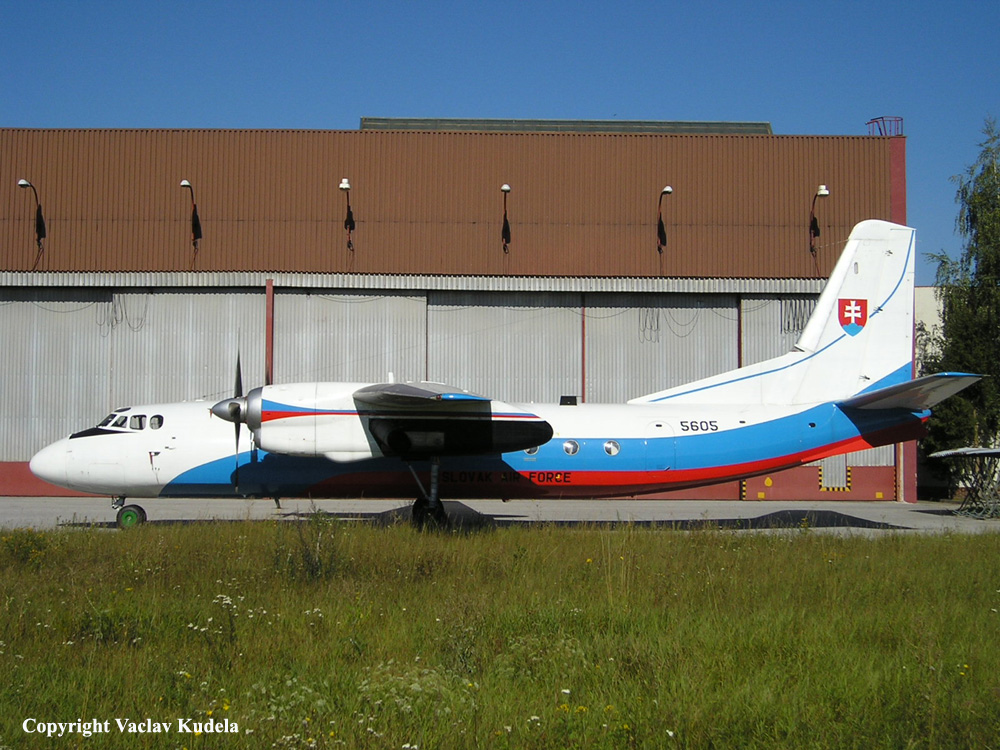
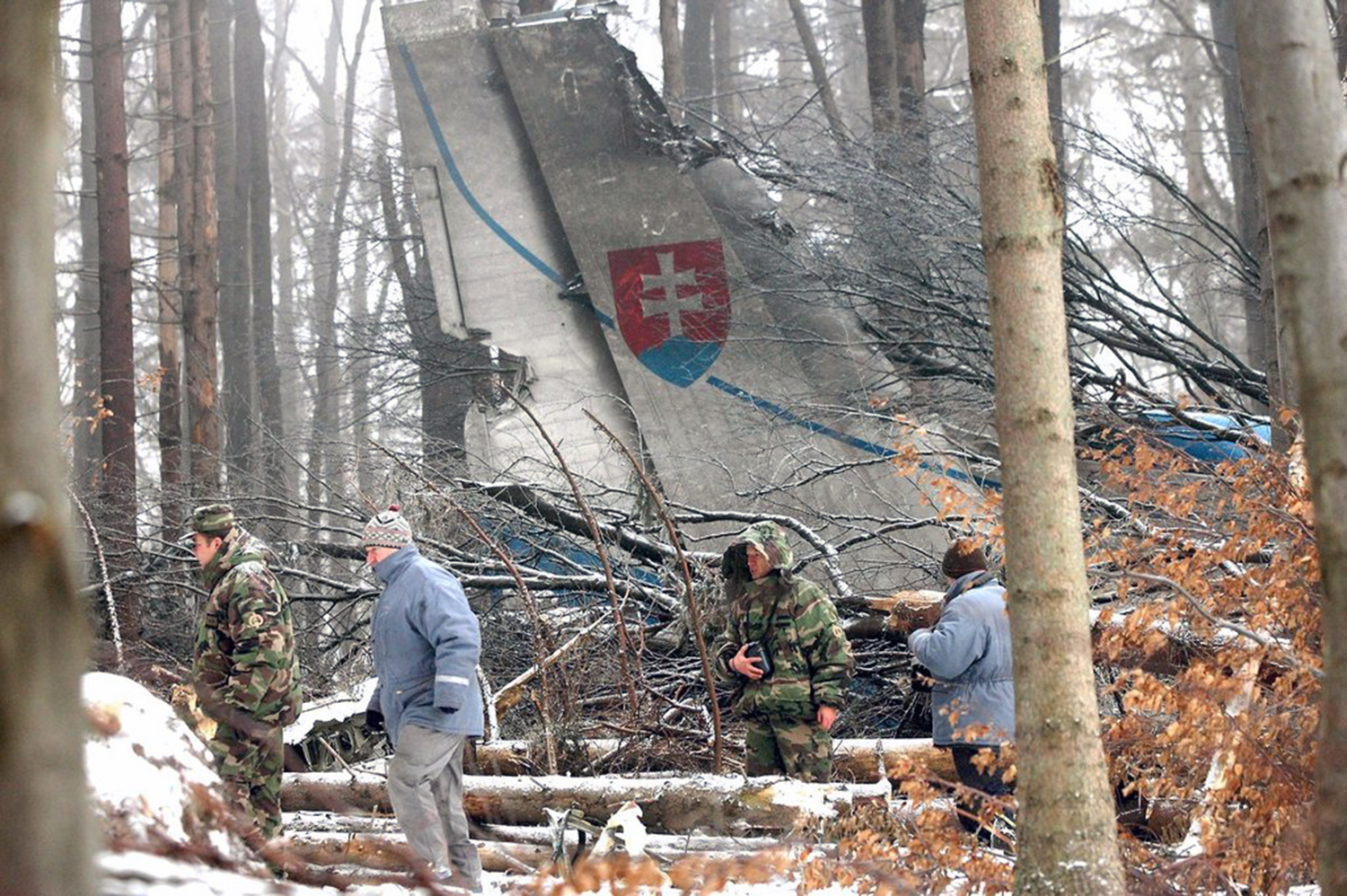
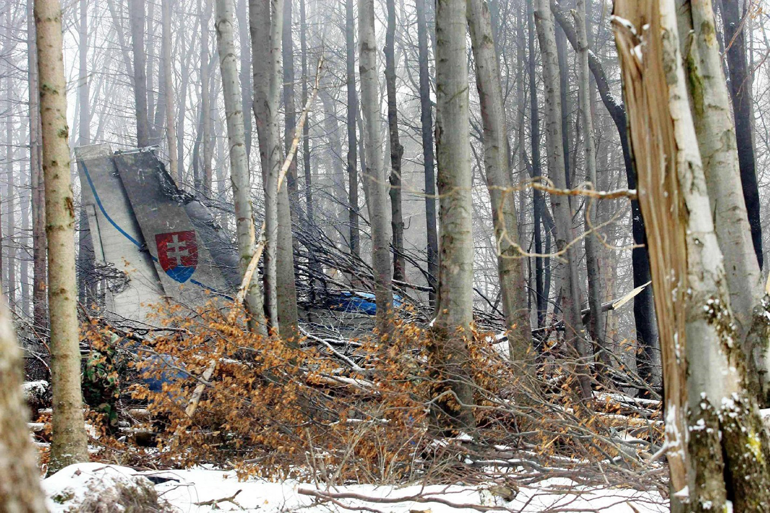
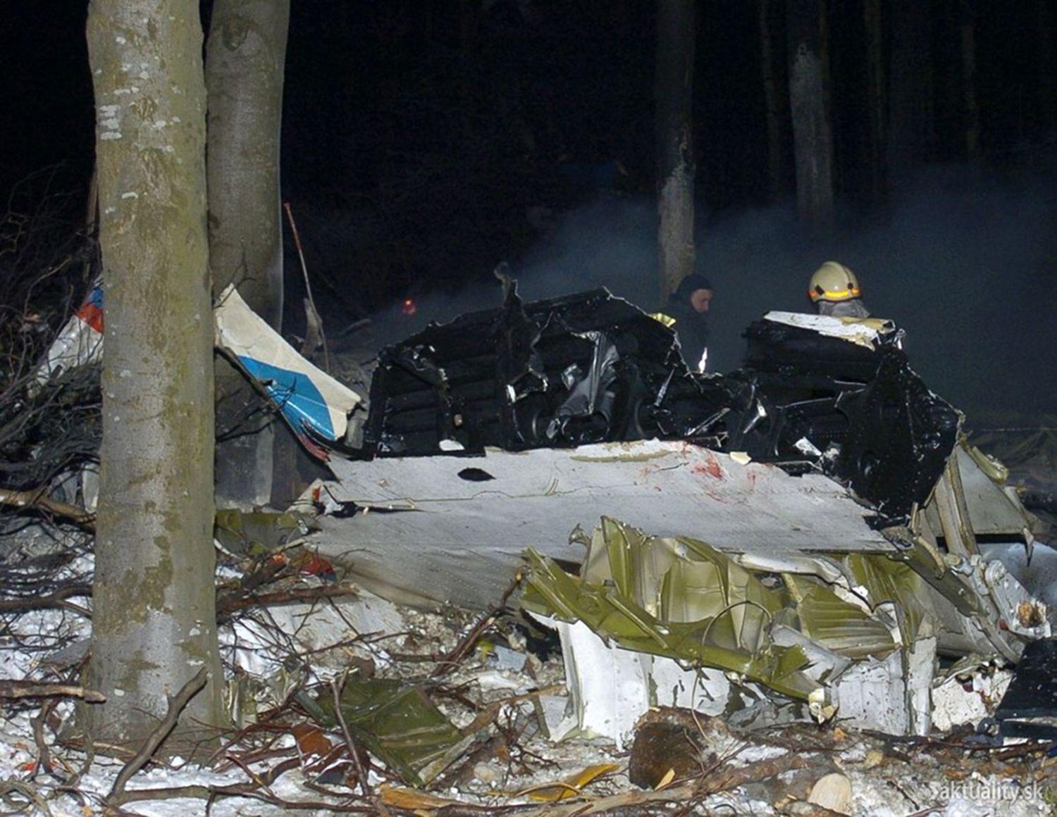
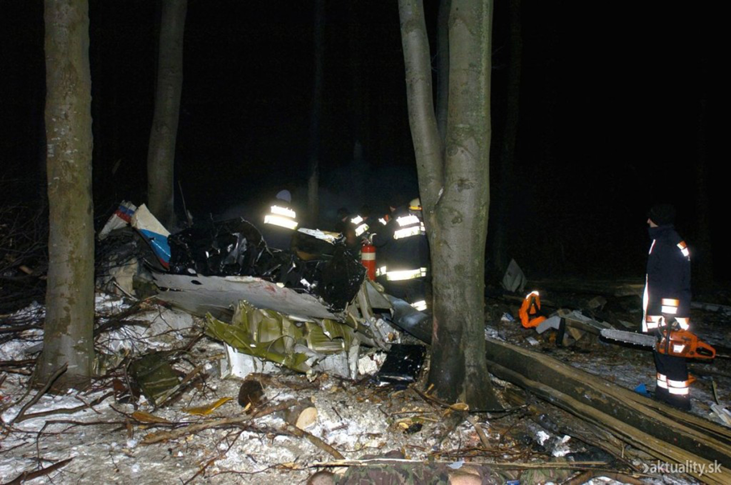
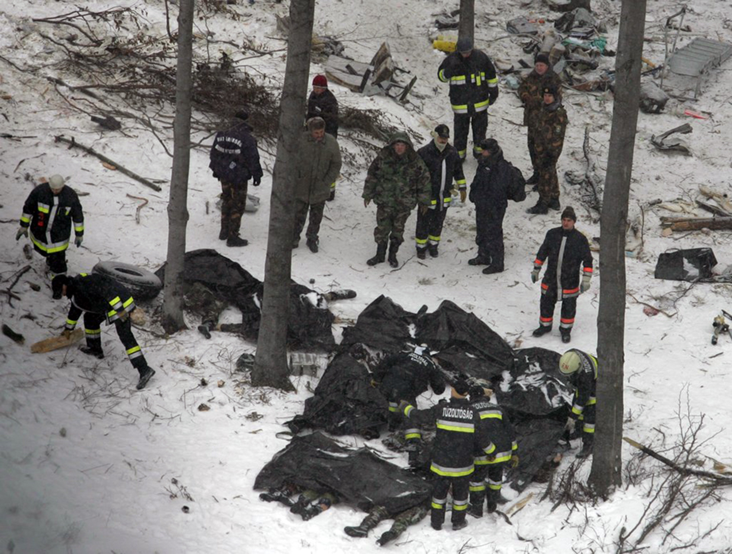
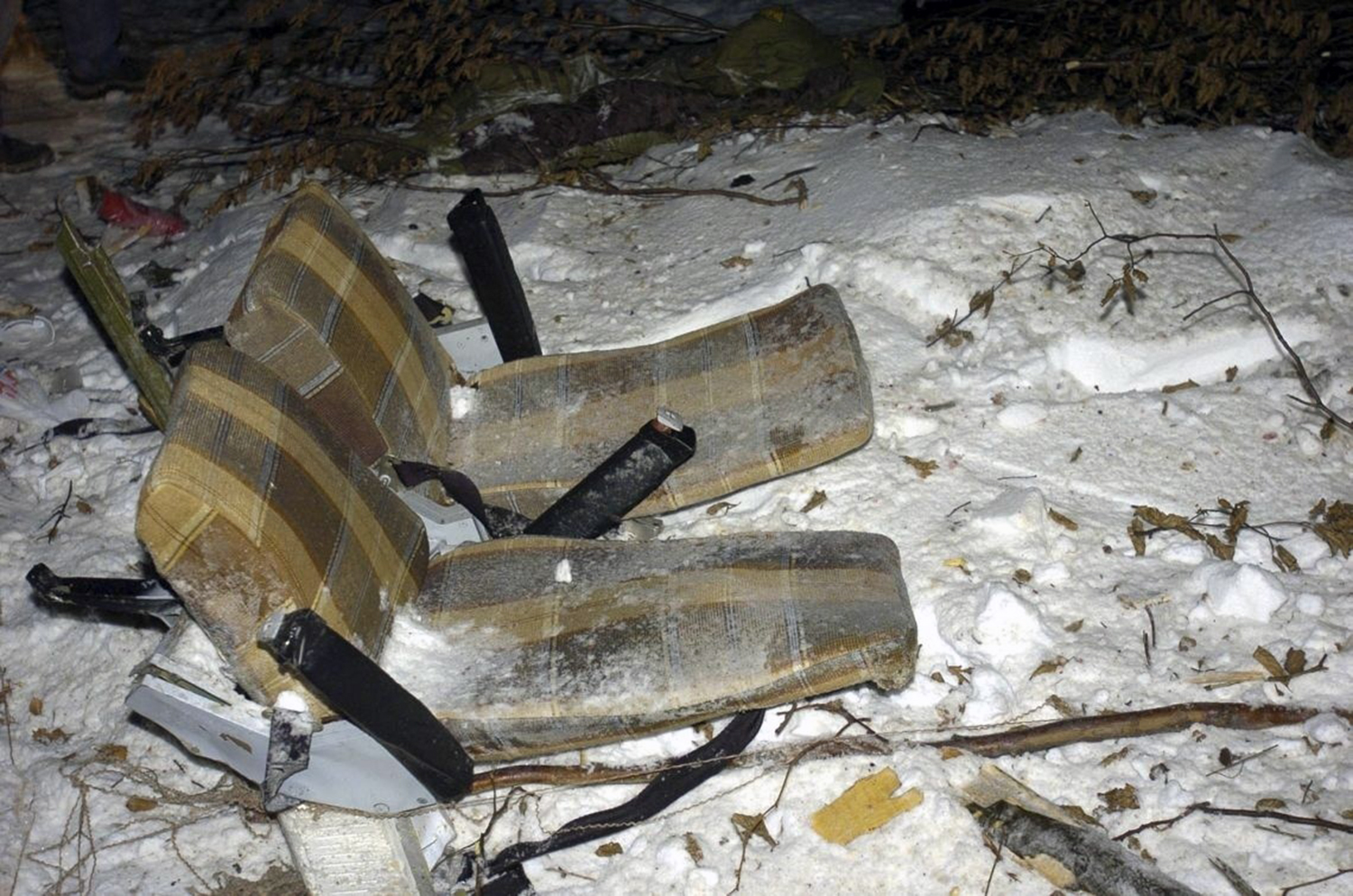
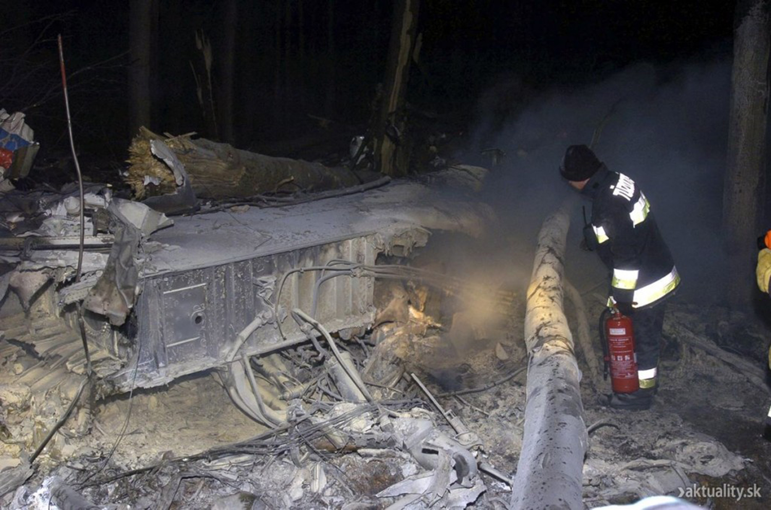
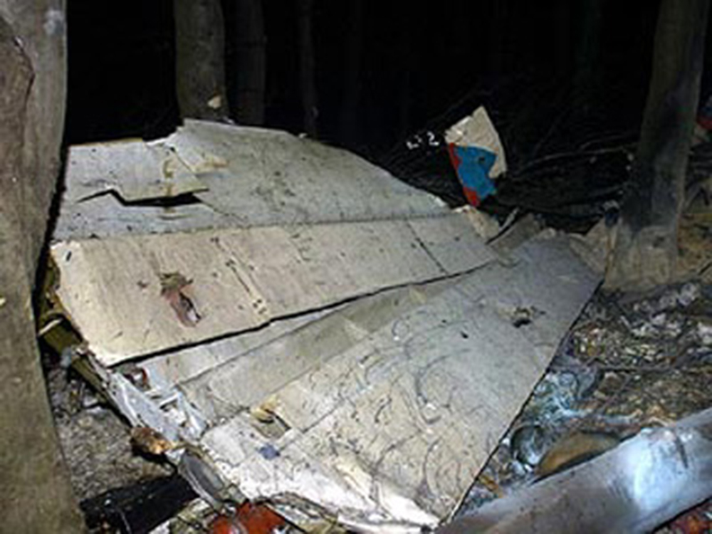
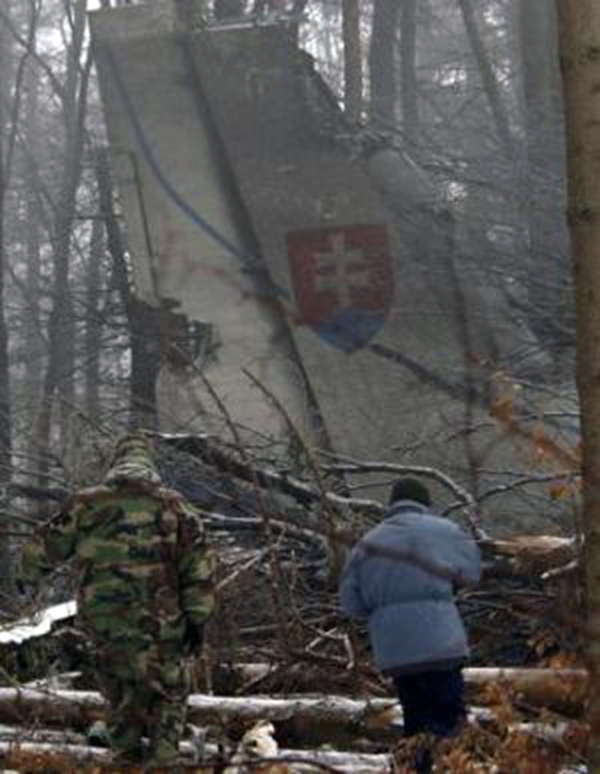
The aircraft, operated by the Slovak Air Force (Letectva a Protivzdu Obrany-snej Slovenskej), was returning to Košice following an uneventful flight from Pristina, carrying 28 soldiers of the Slovak Army, 7 logisticians and 8 crew members flying back home after a period in Kosovo on behalf of the KFOR contingent. While descending to Košice-Barca Airport by night, the aircraft collided with trees and crashed in a snow covered and wooded area located near the village of Telkibánya, Hungary. The wreckage was found about 20 km southeast from runway 01 threshold. The aircraft was destroyed by impact forces and a post crash fire. A passenger was seriously injured while 42 other occupants were killed. At the time of the accident, weather conditions were considered as good with a cloud ceiling at 5,000 feet and a visibility of 10 km.
Probable cause:
Loss of situational and vertical orientation and non-compliance with the safety altitude." During the transition from instrument to visual approach to the airport of Košice, the pilots apparently did not set the radio altimeter. They "probably underestimated the height of the terrain below the aircraft and its immediate vicinity."

Crash of a Rockwell CT-39N Sabreliner in Villanow: 4 killed

Date & Time: Jan 10, 2006 at 1120 LT
Type of aircraft:
Operator:
Registration:
165524
Flight Phase:
Flight Type:
Survivors:
No
Site:
Schedule:
Chattanooga - Pensacola
MSN:
282-060
YOM:
1966
Crew on board:
4
Crew fatalities:
Pax on board:
0
Pax fatalities:
Other fatalities:
Total fatalities:
4
Circumstances:
The crew departed Chattanooga-Lovell Field on a training flight to Pensacola-Forrest Sherman Field NAS, Florida. About 20 minutes into the flight, while cruising at low altitude, the aircraft contacted a tree and crashed a mile further on the slope of Mt Johns, near Villanow, Georgia. All four occupants were killed.

Crash of a PZL-Mielec AN-2TP near Sangar

Date & Time: Nov 18, 2005 at 1407 LT
Type of aircraft:
Operator:
Registration:
RA-02252
Flight Phase:
Flight Type:
Survivors:
Yes
Site:
Schedule:
Sangar – Segyan-Kyuel – Sangar
MSN:
1G234-06
YOM:
1989
Country:
Region:
Crew on board:
2
Crew fatalities:
Pax on board:
10
Pax fatalities:
Other fatalities:
Total fatalities:
0
Circumstances:
The aircraft was engaged in an ambulance flight from Sangar to Segyan-Kyuel and back. Because of poor weather the flight was delayed a couple of hours. At ETD, weather conditions at Sangar Airport was as follows: visibility more than 10 km, scattered clouds at 800 metres, overcast at 3,000 metres, temperature -22° C, dewpoint -23° C, pressure 765 mm Hg. Weather forecast en route included a few stratocumulus clouds between 1,400 and 1,700 metres, significant altostratus clouds between 2,700 and 3,500 metres. The mountainous area over which the Antonov was to fly moderate orographic turbulence was present in the layer from 900 to 1,700 meters, and possible downdrafts on the lee side of ridge in the same altitude range. These conditions were not reported to the crew. Then medical equipment with a weight of 400 kg and passengers arrived at the airport by ambulances. The captain expected seven passengers, but three additional passengers had arrived, without having tickets. The names were added to the passenger list and the copilot arranged the payment of the fare. No seats were available for two passengers, so they had to sit on some hand luggage in the aisle. At 04:46 UTC the aircraft departed from Sangar and climbed towards the mountainous terrain. The highest point along the route was at an elevation of 1,976 metres. The minimum safe altitude was 2,515 metres. The pilot climbed VFR and maintained visual separation from the snow-covered mountains. At an altitude of 1,300 metres the Antonov entered an area with strong turbulence. The aircraft was caught in a downdraft. In an attempt to stop the plane from descending further, power was added to nominal, then to the takeoff power. With rising terrain it was impossible to continue. The pilot decided to carry out a 180° turn to the left over downsloping terrain. This brought the plane downwind with a 30° bank instead of the recommended 20°. As a result, the rate of descent increased and after it rolled to an angle of 120°, the left lower wing contacted a cliff. The aircraft lost speed and crashed on the snow covered mountain. All 12 occupants were rescued, among them four were seriously injured. The aircraft was destroyed.
Probable cause:
The following findings were identified:
- The crew carried out a flight at a height lower than the minimum safe altitude,
- Incorrect estimation by the crew of the prevailing situation, which led to a late decision to return to the airport of departure under the conditions of orographic turbulence and airspace limited by mountains,
- Deficiencies in the flight instructions at the airport Of Sangar, due to the absence a.o. of an altitude diagram of the route of flight, which would have shown that it was impossible for the airplane, according to its technical flight characteristics, to gain enough height within 10 km after takeoff,
- The incorrect weather forecast along the flight course, in which the orographic turbulence was not provided,
- The erroneous actions of the crew in the process of the downwind turn with a bank angle of 30° while carrying out the delayed decision to return to the airport of departure, leading to an increase in the vertical rate of descent.

Crash of a Britten-Norman BN-2A-21 Islander in Privacion: 3 killed

Date & Time: Nov 18, 2005 at 1030 LT
Type of aircraft:
Operator:
Registration:
V3-HFO
Survivors:
No
Site:
Schedule:
Belize City – Privacion
MSN:
465
YOM:
1975
Country:
Crew on board:
1
Crew fatalities:
Pax on board:
2
Pax fatalities:
Other fatalities:
Total fatalities:
3
Captain / Total flying hours:
9000
Circumstances:
The aircraft was performing a charter flight from Belize City to the private airstrip of Privacion desserving Blancaneaux Lodge with two US citizens in honeymoon and one pilot on board. At 1016LT, the pilot reported over La Democracia and all on board seems to be ok. While descending to Privacion Aerodrome, weather conditions deteriorated when the twin engine aircraft crashed in a wooded area located about 5 km from the destination. The wreckage was found at the end of the day in a mountainous terrain. Weather conditions deteriorated due to the tropical storm Gamma approaching Belize. All three occupants were killed.

Crash of an Ilyushin II-76TD near Kōh-e Khāk-e Shahīdān: 8 killed

Date & Time: Nov 11, 2005 at 0953 LT
Type of aircraft:
Registration:
4L-ZIL
Flight Phase:
Flight Type:
Survivors:
No
Site:
Schedule:
Kabul - Bagram
MSN:
00534 64926
YOM:
1985
Flight number:
RPK1102
Country:
Region:
Crew on board:
8
Crew fatalities:
Pax on board:
0
Pax fatalities:
Other fatalities:
Total fatalities:
8
Circumstances:
After being offloaded at Kabul Airport following a flight from Bahrain, the four engine aircraft took off for a short flight to Bagram AFB, carrying a load of telecommunication equipments for the US Armed Forces. Few minutes after takeoff, the crew changed frequency and contacted Bagram Airbase. Due to traffic at Bagram, the crew was instructed to hold at 10,000 feet about 10 nm south of Bagram AFB. Shortly later, the crew started the descent in haze when the aircraft struck the slope of a mountain located near Kōh-e Khāk-e Shahīdān, about 28,6 km northwest of Kabul. The aircraft disintegrated on impact and all eight occupants were killed. At the time of the accident, the visibility was estimated to be 5 km with haze and clouds at 1,200 feet. The wreckage wasa found at an altitude of 2,120 metres.
Probable cause:
Controlled flight into terrain.