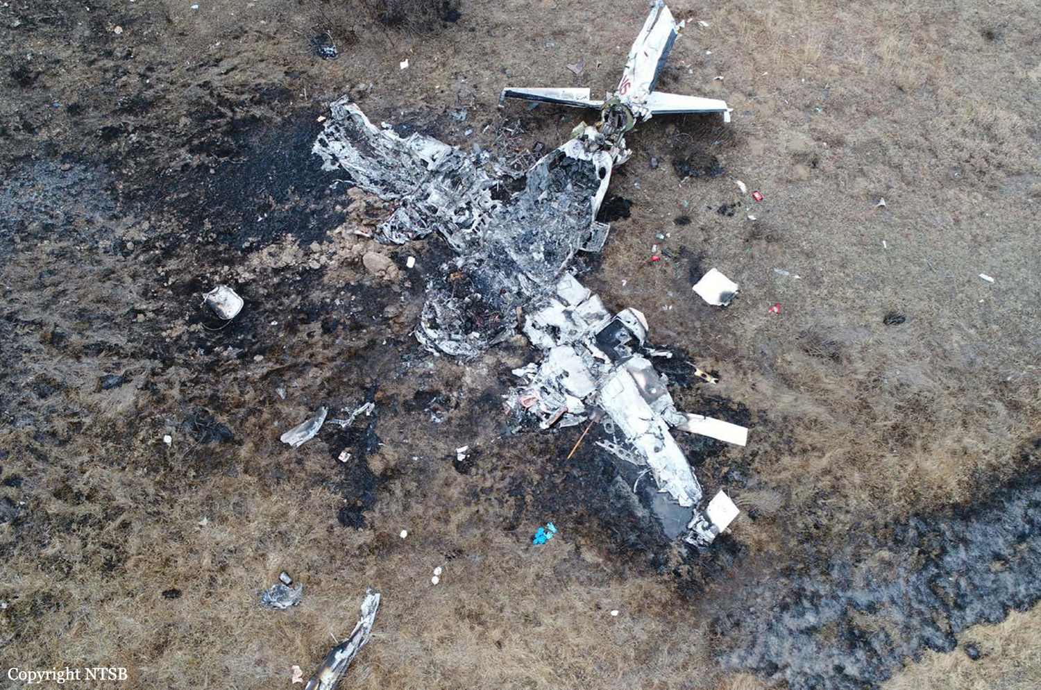
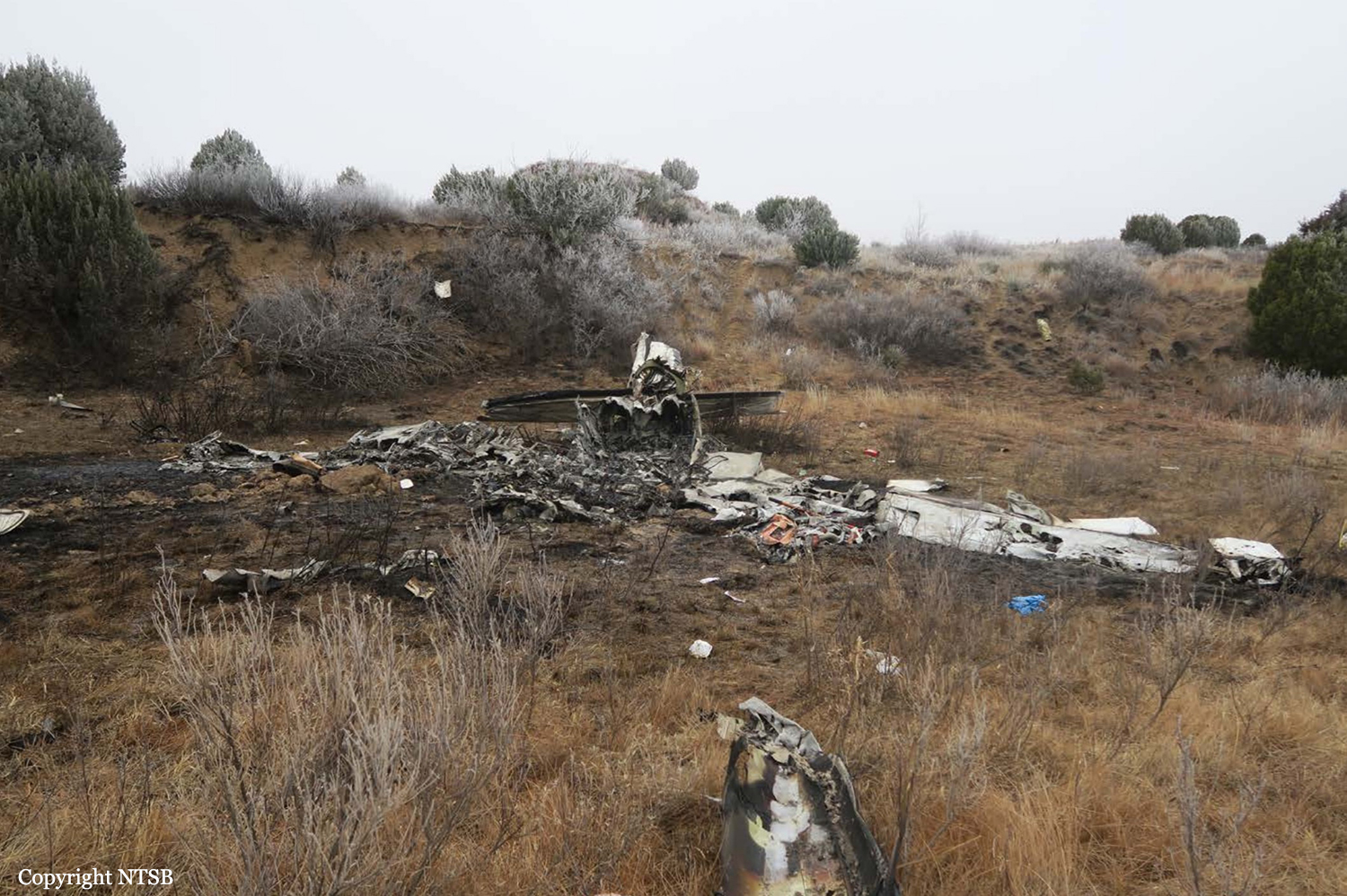
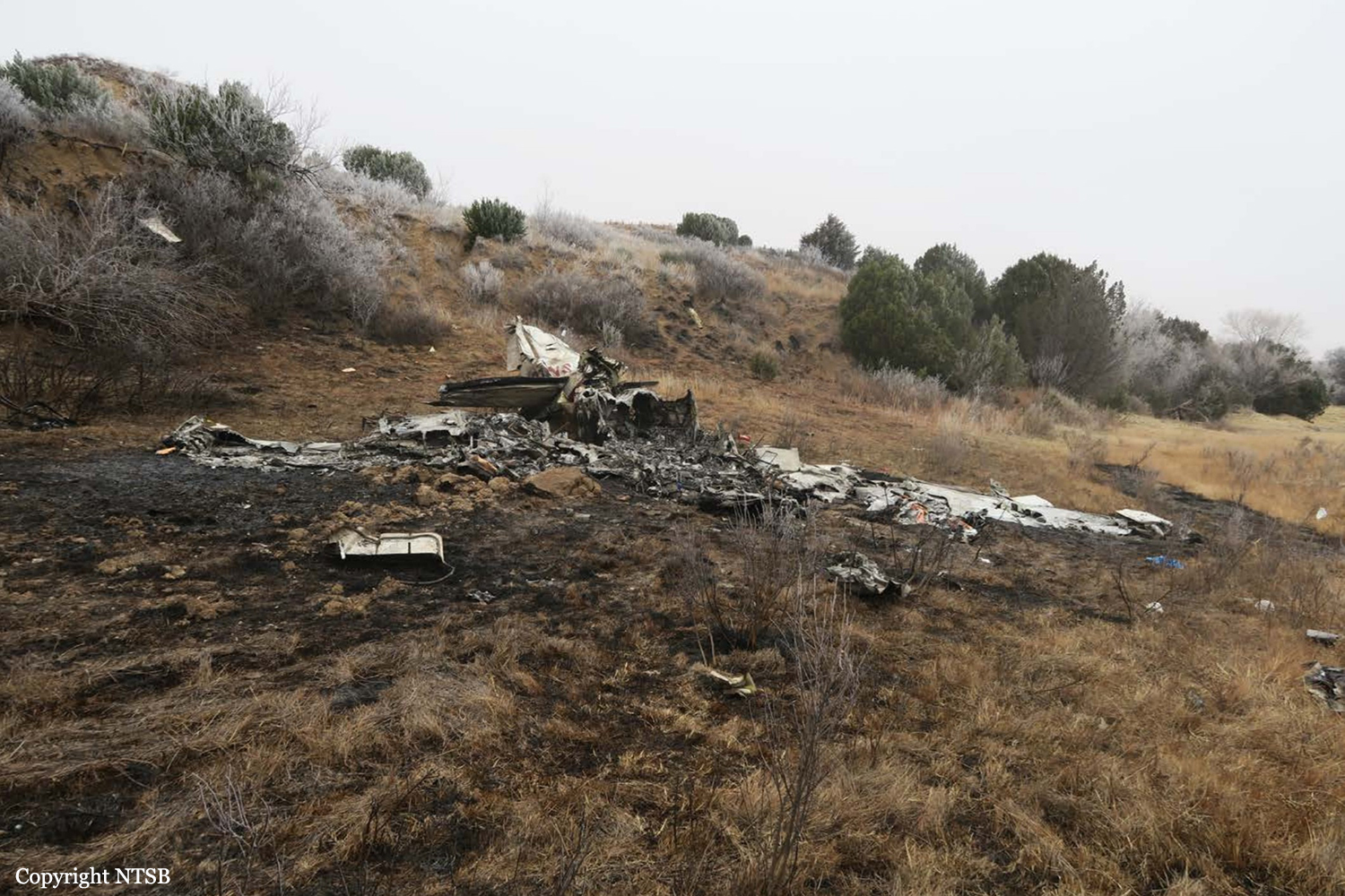
Crash of a Beechcraft B200 Super King in Whatì: 2 killed

Date & Time: Jan 30, 2019 at 0915 LT
Operator:
Registration:
C-GTUC
Flight Phase:
Flight Type:
Survivors:
No
Schedule:
Yellowknife – Whatì – Wekweèti – Ekati
MSN:
BB-268
YOM:
1977
Flight number:
8T503
Country:
Crew on board:
2
Crew fatalities:
Pax on board:
0
Pax fatalities:
Other fatalities:
Total fatalities:
2
Captain / Total flying hours:
2762
Captain / Total hours on type:
1712.00
Copilot / Total flying hours:
566
Copilot / Total hours on type:
330
Aircraft flight hours:
20890
Aircraft flight cycles:
18863
Circumstances:
At 0851 Mountain Standard Time on 30 January 2019, the Air Tindi Ltd. Beechcraft King Air 200 aircraft (registration C-GTUC, serial number BB-268) departed Yellowknife Airport (CYZF), Northwest Territories, as flight TIN503, on an instrument flight rules flight itinerary to Whatì Airport (CEM3), Northwest Territories, with 2 crew members on board. At 0912, as the aircraft began the approach to CEM3, it departed controlled flight during its initial descent from 12 000 feet above sea level, and impacted terrain approximately 21 nautical miles east-southeast of CEM3, at an elevation of 544 feet above sea level. The Canadian Mission Control Centre received a signal from the aircraft’s 406 MHz emergency locator transmitter and notified the Joint Rescue Coordination Centre in Trenton, Ontario. Search and rescue technicians arrived on site approximately 6 hours after the accident. The 2 flight crew members received fatal injuries on impact. The aircraft was destroyed.
Probable cause:
Findings as to causes and contributing factors:
These are conditions, acts or safety deficiencies that were found to have caused or contributed to this occurrence.
- For undetermined reasons, the left-side attitude indicator failed in flight.
- Although just before take off the crew acknowledged that the right-side attitude indicator was not operative, they expected it to become operative at some point in the flight. As a result, they did not refer to the minimum equipment list, and departed into instrument meteorological conditions with an inoperative attitude indicator.
- The crew’s threat and error management was not effective in mitigating the risk associated with the unserviceable right-side attitude indicator.
- The crew’s crew resource management was not effective, resulting in a breakdown in verbal communication, a loss of situation awareness, and the aircraft entering an unsafe condition.
- The captain did not have recent experience in flying partial panel. As a result, the remaining instruments were not used effectively and the aircraft departed controlled flight and entered a spiral dive.
- The captain and first officer likely experienced spatial disorientation.
- Once the aircraft emerged below the cloud layer at approximately 2000 feet above ground, the crew were unable to recover control of the aircraft in enough time and with enough altitude to avoid an impact with terrain.

Findings as to risk:
These are conditions, unsafe acts or safety deficiencies that were found not to be a factor in this occurrence but could have adverse consequences in future occurrences.
- If flight crews do not use the guidance material provided in the minimum equipment list when aircraft systems are unserviceable, there is a risk that the aircraft will be operated without systems that are critical to safe aircraft operation.
- If flight crews do not use all available resources at their disposal, a loss in situation awareness can occur, which can increase the risk of an accident.

Other findings:
These items could enhance safety, resolve an issue of controversy, or provide a data point for future safety studies.
- A review of Air Tindi Ltd.'s pilot training program revealed that all regulatory requirements were being met or exceeded.
Final Report:

Crash of a Piper PA-46-310P Malibu off Guernsey: 2 killed

Date & Time: Jan 21, 2019 at 2016 LT
Operator:
Registration:
N264DB
Flight Phase:
Survivors:
No
Schedule:
Nantes - Cardiff
MSN:
46-8408037
YOM:
1984
Region:
Crew on board:
1
Crew fatalities:
Pax on board:
1
Pax fatalities:
Other fatalities:
Total fatalities:
2
Captain / Total flying hours:
3500
Captain / Total hours on type:
30.00
Aircraft flight hours:
6636
Circumstances:
The pilot of N264DB flew the aircraft and the passenger from Cardiff Airport to Nantes Airport on 19 January 2019 with a return flight scheduled for 21 January 2019. The pilot arrived at the airport in Nantes at 1246 hrs on 21 January to refuel and prepare the aircraft for the flight. At 1836 hrs the passenger arrived at airport security, and the aircraft taxied out for departure at 1906 hrs with the passenger sitting in one of the rear, forward-facing passenger seats. Figure 1 shows the aircraft on the ground before departure. The pilot’s planned route would take the aircraft on an almost direct track from Nantes to Cardiff, flying overhead Guernsey en route (Figure 2). The Visual Flight Rules (VFR) flight plan indicated a planned cruise altitude of 6,000 ft amsl and distance of 265 nm. The aircraft took off from Runway 03 at Nantes Airport at 1915 hrs, and the pilot asked Air Traffic Control (ATC) for clearance to climb to 5,500 ft. The climb was approved by Nantes Approach Control and the flight plan was activated. The aircraft flew on its planned route towards Cardiff until it was approximately 13 nm south of Guernsey when the pilot requested and was given a descent clearance to remain in Visual Meteorological Conditions (VMC). Figure 3 shows the aircraft’s subsequent track. The last radio contact with the aircraft was with Jersey ATC at 2012 hrs, when the pilot asked for a further descent. The aircraft’s last recorded secondary radar point was at 2016:34 hrs, although two further primary returns were recorded after this. The pilot made no distress call that was recorded by ATC. On February 4, 2019, the wreckage (relatively intact) was found at a depth of 63 meters few km north of the island of Guernsey. On February 6, a dead body was found in the cabin and recovered. It was later confirmed this was the Argentine footballer Emiliano Sala. The pilot's body was not recovered.
Probable cause:
Causal factors
1. The pilot lost control of the aircraft during a manually-flown turn, which was probably initiated to remain in or regain VMC.
2. The aircraft subsequently suffered an in-flight break-up while manoeuvring at an airspeed significantly in excess of its design manoeuvring speed.
3. The pilot was probably affected by CO poisoning.
Contributory factors
1. A loss of control was made more likely because the flight was not conducted in accordance with safety standards applicable to commercial operations. This manifested itself in the flight being operated under VFR at night in poor weather conditions despite the pilot having no training in night flying and a lack of recent practice in instrument flying.
2. In-service inspections of exhaust systems do not eliminate the risk of CO poisoning.
3. There was no CO detector with an active warning in the aircraft which might have alerted the pilot to the presence of CO in time for him to take mitigating action.
Final Report:

Crash of a Partenavia P.68B Victor near Strausberg: 2 killed

Date & Time: Jan 12, 2019 at 1155 LT
Type of aircraft:
Operator:
Registration:
D-GINA
Flight Phase:
Flight Type:
Survivors:
No
Schedule:
Strausberg - Strausberg
MSN:
59
YOM:
1975
Country:
Region:
Crew on board:
2
Crew fatalities:
Pax on board:
0
Pax fatalities:
Other fatalities:
Total fatalities:
2
Captain / Total flying hours:
2923
Copilot / Total flying hours:
632
Aircraft flight hours:
5750
Circumstances:
The twin engine airplane departed Strausberg Airport at 1100LT on a local training flight, carrying one instructor and one pilot under supervision. About 50 minutes later, while cruising in clouds at an altitude of 1,300 feet, the airplane entered an uncontrolled descent and crashed in a field located 7,5 km northwest of the airport. The airplane disintegrated on impact and both occupants were killed.

Crash of a Piper PA-46-350P Malibu off Mayport: 2 killed

Date & Time: Dec 20, 2018 at 0904 LT
Registration:
N307JM
Flight Phase:
Flight Type:
Survivors:
No
Schedule:
Kissimmee - Princeton
MSN:
46-36253
YOM:
2000
Location:
Crew on board:
1
Crew fatalities:
Pax on board:
1
Pax fatalities:
Other fatalities:
Total fatalities:
2
Captain / Total flying hours:
390
Captain / Total hours on type:
30.00
Aircraft flight hours:
3785
Circumstances:
The aircraft impacted the Atlantic Ocean near Mayport, Florida. The private pilot and pilot-rated passenger were fatally injured. The airplane was destroyed. The airplane was privately owned and operated under the provisions of Title 14 Code of Federal Regulations Part 91. Instrument meteorological conditions prevailed at the time and the flight was operating on an instrument flight rules (IFR) flight plan. The personal flight originated from Kissimmee Gateway Airport, Orlando, Florida, about 0821, and was destined for Princeton Airport, Princeton/Rocky Hill, NJ. According to preliminary air traffic control radar and voice data provided by the Federal Aviation Administration (FAA), at 0859:02, one of the airplane's occupants contacted the Jacksonville Air Route Traffic Control Center (ZJX ARTCC) R-73 sector controller and reported passing through Flight Level (FL) 220 for FL230. The controller advised the pilot there were moderate and some heavy precipitation along the route of flight extending for 200 nautical miles. The occupant acknowledged the controller and advised they would be watching the weather. FAA radar data indicated at 0900:22 the flight reached FL227. Preliminary review of weather data revealed that this altitude was above the freezing level, and at that time the flight entered an area of weather radar returns with intensities between 10 to 30 dBZ (which equated to light to moderate precipitation). While in the weather radar-indicated precipitation, the flight climbed to FL230. At 0902:14, while at the edge of the precipitation, the airplane started a slight left turn before entering a right turn at 0902:28 at FL226. The turn had not been directed by the controller or announced by either occupant. Between 0902:28 and 0903:10, the airplane descended from FL226 to FL202. At 0903:10, the airplane was descending through FL202 when the controller attempted to contact the flight, but there was no reply. The controller attempted to communicate with the flight several more times, and at 0903:27 in response to one attempt, while at 14,500 feet mean sea level (msl), an occupant advised, "were not ok we need help." The controller asked the pilot if he was declaring an emergency and "whats going on." At 0903:35, while at 12,600 feet msl an occupant stated, "I'm not sure whats happening", followed by, "I have anti-ice and everything." At 0903:40 the controller asked the flight if it could maintain altitude, an occupant responded that they could not maintain altitude. The controller provided vectors to a nearby airport west of their position, but the flight did not reply to that transmission or a subsequent query. At about 0904:32 (which was the last communication from the airplane), while at 3,300 feet msl, an occupant advised the controller that the airplane was inverted and asked for assistance. The last radar recorded position with altitude read-out of the flight was at 0904:40, at an altitude of 1,700 feet msl, and 30.40069° north latitude and -81.3844° west longitude. The U.S. Coast Guard initiated a search for the missing airplane, but the wreckage was not located and the search was suspended on December 22, 2018. A privately-funded search for the airplane was initiated and the wreckage was located and recovered on February 6, 2019. The recovered wreckage was retained for further investigation.
Probable cause:
An in-flight loss of control following an encounter with supercooled large droplet icing conditions, which ultimately resulted in an uncontrolled descent and subsequent inflight breakup. Also causal was the pilot’s failure to maintain an appropriate airspeed for flight in icing conditions.
Final Report:

Crash of a Britten-Norman BN-2A-20 Islander in West Portal: 1 killed

Date & Time: Dec 8, 2018 at 0828 LT
Type of aircraft:
Operator:
Registration:
VH-OBL
Flight Phase:
Flight Type:
Survivors:
No
Site:
Schedule:
Cambridge – Bathurst Harbour
MSN:
2035
YOM:
1986
Country:
Region:
Crew on board:
1
Crew fatalities:
Pax on board:
0
Pax fatalities:
Other fatalities:
Total fatalities:
1
Captain / Total flying hours:
540
Captain / Total hours on type:
80.00
Aircraft flight hours:
12428
Circumstances:
On 8 December 2018, the pilot of a Pilatus Britten-Norman BN2A-20 Islander, registered VH-OBL and operated by Airlines of Tasmania, was conducting a positioning flight under the visual flight rules from Cambridge Airport to the Bathurst Harbour aeroplane landing area (ALA), Tasmania. The aircraft departed Cambridge at about 0748 Eastern Daylight-saving Time and was scheduled to arrive at Bathurst Harbour about 0830 to pick up five passengers for the return flight. The passengers were part of a conservation project that flew to south-west Tasmania regularly, and it was the pilot’s only flight for that day. Automatic dependent surveillance broadcast (ADS-B) position and altitude data (refer to the section titled Recorded information) showed the aircraft tracked to the south-west towards Bathurst Harbour (Figure 1). At about 0816, the aircraft approached a gap in the Arthur Range known as ‘the portals’. The portals are a saddle (lowest area) between the Eastern and Western Arthur Range, and was an optional route that Airlines of Tasmania used between Cambridge and Bathurst Harbour when the cloud base prevented flight over the mountain range. After passing through the portals, the aircraft proceeded to conduct a number of turns below the height of the surrounding highest terrain. The final data point recorded was at about At about 0829, the Australian Maritime Safety Authority received advice that an emergency locator transmitter allocated to VH-OBL had activated. They subsequently advised the Tasmanian Police and the aircraft operator of the activation, and initiated search and rescue efforts. The rescue efforts included two helicopters and a Challenger 604 search and rescue jet aircraft. The Challenger arrived over the emergency locator transmitter signal location at around 0925, however, due to cloud cover the crew were unable to visually identify the precise location of VH-OBL. A police rescue helicopter arrived at the search area at about 1030. The pilot of that helicopter reported observing cloud covering the eastern side of the Western Arthur Range, and described a wall of cloud with its base sitting on the bottom of the west portal. Multiple attempts were made throughout the day to locate the accident site, however, due to low-level cloud, and fluctuating weather conditions, the search and rescue operation was unable to confirm visual location of the aircraft until about 1900. The aircraft wreckage was found in mountainous terrain of the Western Arthur Range in the Southwest National Park (Figure 2) . The search and rescue crew assessed that the accident was unlikely to have been survivable. The helicopter crew considered winching personnel to the site, however, due to a number of risks, including potential for cloud reforming, the time of day and lighting, and other hazards associated with the mountainous location, the helicopter departed the area. The aircraft wreckage was accessed the following day, when it was confirmed that the pilot was fatally injured.
Probable cause:
From the evidence available, the following findings are made with respect to the controlled flight into terrain involving Pilatus Britten-Norman BN2A, VH-OBL, 101 km west-south-west of Hobart, Tasmania, on 8 December 2018.
Contributing factors:
• The pilot continued descending over the Arthur Range saddle to a lower altitude than previous flights, likely due to marginal weather. This limited the options for exiting the valley surrounded
by high terrain.
• While using a route through the Arthur Range due to low cloud conditions, the pilot likely encountered reduced visual cues in close proximity to the ground, as per the forecast conditions. This led to controlled flight into terrain while attempting to exit the range.
Final Report:

Crash of a Lockheed KC-130J Hercules in the Pacific Ocean: 5 killed

Date & Time: Dec 6, 2018 at 0200 LT
Type of aircraft:
Operator:
Registration:
167981
Flight Phase:
Flight Type:
Survivors:
No
Schedule:
Iwakuni - Iwakuni
MSN:
5617
YOM:
2009
Flight number:
Sumo 41
Country:
Region:
Crew on board:
5
Crew fatalities:
Pax on board:
0
Pax fatalities:
Other fatalities:
Total fatalities:
5
Circumstances:
The crew departed Iwakuni Airport on a refuelling mission over the Pacific Ocean under callsign 'Sumo 41'. Following a night refuelling operation, the four engine airplane collided with a McDonnell Douglas F/A-18 Hornet. Both aircraft went out of control and crashed into the ocean some 200 miles off Muroto Cape, Japan. The United States Marine Corps confirms that two Marines have been found. One is in fair condition and the other has been declared deceased by competent medical personnel. All five crew members from the Hercules are still missing after two days of SAR operations and presumed dead. The KC-130 Hercules was assigned to Marine Aerial Refueler Transport Squadron 152 (the Sumos), 1st Marine Aircraft Wing.
Probable cause:
The CDA-RB’s report determined four interconnected causal factors led to the 6 December 2018 mishap. First, the flight lead (F/A-18 call sign, Profane 11) requested, and received approval for, an un-briefed, non-standard departure from the C-130 tanker (call sign, Sumo 41). This departure placed the mishap pilot (F/A-18 call sign, Profane 12) on the left side of the tanker. A standard departure would have placed both F/A-18s on the right side of the tanker. Second, Profane 11 chose an authorized, but not optimized, lighting configuration. After tanking, Profane 11 placed his external lights in a brightly lit overt setting, while the C-130’s lights remained in a dimly lit covert setting. These circumstances set the conditions for Profane 12 to focus on the overtly lit Profane 11 aircraft, instead of the dimly lit tanker. Third, Profane 12 lost sight of the C-130 and lost situational awareness of his position relative to the tanker resulting in a drift over the top of the C-130 from left to right. Fourth, Profane 12 was unable to overcome these difficult and compounding challenges created by the first three factors. As a result, when Profane 12 maneuvered his aircraft away from Profane 11, he moved from right to left and impacted the right side of the tanker’s tail section. It must be noted, this specific set of circumstances would have been incredibly difficult for any pilot, let alone a junior, or less proficient pilot to overcome.
The CDA-RB determined the previous 2018 mishap command investigation did not capture a completely accurate picture of the event. The CDA-RB determined portions of the investigation contained a number of inaccuracies. Specifically, the 2018 command investigation incorrectly concluded medication may have been a causal factor in the mishap, the mishap pilot was not qualified to fly the mission, AN/AVS-11 night vision devices contributed to the mishap, and the previously mentioned mishap in 2016 had not been properly investigated. These conclusions are not supported by the evidence, and are addressed in detail in the CDA-RB report. While the 2018 CI contains a few inaccuracies, the CDA-RB does confirm the command investigation’s conclusions related to organizational culture and command climate as contributing factors to the mishap.
The CDA-RB made 42 recommendations to address institutional and organizational contributing factors. As a result, the Assistant Commandant directed 11 actions to address manpower management, training, operations, and medical policies. The Director of the Marine Corps Staff will lead the coordination of all required actions to ensure proper tracking and accomplishment.

Crash of a PZL-Mielec AN-2R near Arkhangelsk

Date & Time: Nov 8, 2018 at 1054 LT
Type of aircraft:
Operator:
Registration:
RA-84674
Flight Phase:
Survivors:
Yes
Schedule:
Arkhangelsk – Soyana – Dolgoshchel’e – Mezen
MSN:
1G191-52
YOM:
1981
Flight number:
9135
Country:
Region:
Crew on board:
2
Crew fatalities:
Pax on board:
12
Pax fatalities:
Other fatalities:
Total fatalities:
0
Captain / Total flying hours:
4742
Captain / Total hours on type:
4336.00
Copilot / Total flying hours:
969
Copilot / Total hours on type:
761
Aircraft flight hours:
13509
Aircraft flight cycles:
20389
Circumstances:
The single engine airplane departed Arkhangelsk-Vaskovo Airport on a flight to Mezen with intermediate stops in Soyana and Dolgoshchel’e, carrying 12 passengers (11 adults and one child) and two pilots. En route, weather conditions deteriorated with drizzle. The crew reduced his altitude from 400 to 300 metres when frost formed on the windshield. The captain decided to return to Arkhangelsk but the aircraft' speed dropped from 170 to 120 km/h. Unable to maintain the speed and altitude, the crew attempted an emergency landing when the aircraft collided with trees and crashed in a wooded area located about 50 km northeast of Arkhangelsk-Talaghy Airport. All 14 occupants were rescued, among them two passengers were injured. The aircraft was destroyed.
Probable cause:
The accident with the An-2 RA-84674 aircraft occurred during a forced landing in the forest, the need for which was due to the impossibility of continuing the flight due to the effect of icing on the aerodynamic and traction characteristics of the aircraft (the inability to maintain altitude and speed even with the takeoff engine operating mode). The contributing factor, most likely, was the decision of the crew to climb over 150 m from the ground level, where the presence of stratus clouds and icing was predicted.
Final Report:

Crash of a Piper PA-31T Cheyenne in the Atlantic Ocean: 5 killed

Date & Time: Oct 25, 2018 at 1119 LT
Type of aircraft:
Registration:
N555PM
Flight Phase:
Flight Type:
Survivors:
No
Schedule:
Andrews - Governor's Harbour
MSN:
31T-7620028
YOM:
1976
Country:
Region:
Crew on board:
2
Crew fatalities:
Pax on board:
3
Pax fatalities:
Other fatalities:
Total fatalities:
5
Captain / Total flying hours:
2778
Copilot / Total flying hours:
12000
Aircraft flight hours:
7718
Circumstances:
The two pilots and three passengers were conducting a cross-country flight over the ocean from South Carolina to the Bahamas. About 30 minutes into the flight, while climbing through 24,300 ft to 25,000 ft about 95 miles beyond the coast, the pilot made a garbled radio transmission indicating an emergency and intent to return. At the time of the transmission the airplane had drifted slightly right of course. The airplane then began a descent and returned on course. After the controller requested several times for the pilot to repeat the radio transmission, the pilot replied, "we're descending." About 15 seconds later, at an altitude of about 23,500 ft, the airplane turned sharply toward the left, and the descent rate increased to greater than 4,000 ft per minute, consistent with a loss of control. Attempts by the air traffic controller to clarify the nature of the emergency and the pilot's intentions were unsuccessful. About 1 minute after the sharp left turn and increased descent, the pilot again declared an emergency. No further communications were received. Search efforts coordinated by the U.S. Coast Guard observed an oil slick and some debris on the water in the vicinity of where the airplane was last observed via radar, however the debris was not identified or recovered. According to recorded weather information, a shallow layer favorable for light rime icing was present at 23,000 ft. However, because the airplane was not recovered, the investigation could not determine whether airframe icing or any other more-specific issues contributed to the loss of control. One air traffic control communication audio recording intermittently captured the sound of an emergency locator transmitter (ELT) "homing" signal for about 45 minutes, beginning near the time of takeoff, and ending about 5 minutes after radar contact was lost. Due to the intermittent nature of the signal, and the duration of the recording, it could not be determined if the ELT signal had begun transmitting before or ceased transmitting after these times. Because ELT homing signals sound the same for all airplanes, the source could not be determined. However, the ELT sound was recorded by only the second of two geographic areas that the airplane flew through and began before the airplane arrived near either of those areas. Had the accident airplane's ELT been activated near the start of the flight, it is unlikely that it would be detected in the second area and not the first. Additionally, the intermittent nature of the ELT signal is more consistent with an ELT located on the ground, rather than an airborne activation. An airborne ELT is more likely to have a direct line-of-sight to one or more of the ground based receiving antennas, particularly at higher altitudes, resulting in more consistent reception. The pilot's initial emergency and subsequent radio transmissions contained notably louder background noise compared to the previous transmissions. The source or reason for the for the increase in noise could not be determined.
Probable cause:
An in-flight loss of control, which resulted in an impact with water, for reasons that could not be determined because the airplane was not recovered.
Final Report:

Crash of a PZL-Mielec AN-2T near Urimán

Date & Time: Oct 1, 2018 at 1415 LT
Type of aircraft:
Registration:
YV1719
Flight Phase:
Flight Type:
Survivors:
Yes
Schedule:
Santa Elena de Uairén – Urimán
MSN:
1G240-32
YOM:
1991
Country:
Crew on board:
2
Crew fatalities:
Pax on board:
0
Pax fatalities:
Other fatalities:
Total fatalities:
0
Circumstances:
The crew departed Santa Elena de Uairén on a flight to Urimán. En route, the engine failed, forcing the crew to attempt an emergency landing in a prairie located 42 km southeast of Urimán Airport. The airplane rolled for few dozen metres and eventually collided with trees and came to rest in a wooded area. Both pilots escaped uninjured and the aircraft was damaged beyond repair. Both pilots were recovered by the crew of an helicopter two days after the accident.

Crash of a Cessna 208B Supervan 900 in the Pacific Ocean: 1 killed

Date & Time: Sep 27, 2018 at 1528 LT
Type of aircraft:
Operator:
Registration:
VH-FAY
Flight Phase:
Flight Type:
Survivors:
No
Schedule:
Saipan - Sapporo
MSN:
208B-0884
YOM:
2001
Country:
Region:
Crew on board:
1
Crew fatalities:
Pax on board:
0
Pax fatalities:
Other fatalities:
Total fatalities:
1
Captain / Total flying hours:
13600
Aircraft flight hours:
9291
Circumstances:
The pilot of a Cessna 208B aircraft, registered VH-FAY (FAY), was contracted to ferry the aircraft from Jandakot Airport, Western Australia (WA), to Greenwood, Mississippi in the United States (US). The pilot planned to fly via the ‘North Pacific Route’. At 0146 Coordinated Universal Time (UTC) on 15 September 2018, the aircraft took off from Jandakot Airport, WA, and landed in Alice Springs, Northern Territory at 0743. After landing, the pilot advised the aircraft operator that the aircraft had a standby alternator fault indication. In response, two company licenced aircraft maintenance engineers went to Alice Springs and changed the alternator control unit, which fixed the problem. Late the next morning, the aircraft departed Alice Springs for Weipa, Queensland, where the pilot refuelled the aircraft and stayed overnight. On the morning of 17 September, the pilot conducted a 1-hour flight to Horn Island, Queensland. About an hour later, the aircraft departed Horn Island with the planned destination of Guam, Micronesia. While en route, the pilot sent a message to the aircraft operator advising that he would not land in Guam, but would continue another 218 km (118 NM) to Saipan, Northern Mariana Islands. At 1003, the aircraft landed at Saipan International Airport. The next morning, the pilot refuelled the aircraft and detected damage to the propeller anti-ice boot. The aircraft was delayed for more than a week while a company engineer travelled to Saipan and replaced the anti-ice boot. At 2300 UTC on 26 September, the aircraft departed Saipan, bound for New Chitose Airport, Hokkaido, Japan. Once airborne, the pilot sent a message from his Garmin device, indicating that the weather was clear and that he had an expected flight time of 9.5 hours. About an hour after departure, the aircraft levelled out at flight level (FL) 220. Once in the cruise, the pilot sent a message that he was at 22,000 feet, had a tailwind and the weather was clear. This was followed by a message at 0010 that he was at FL 220, with a true airspeed of 167 kt and fuel flow of 288 lb/hr (163 L/hr). At 0121, while overhead reporting point TEGOD, the pilot contacted Tokyo Radio flight information service on HF radio. The pilot was next due to report when the aircraft reached reporting point SAGOP, which the pilot estimated would occur at 0244. GPS recorded track showed that the aircraft passed SAGOP at 0241, but the pilot did not contact Tokyo Radio as expected. At 0249, Tokyo Radio made several attempts to communicate with the pilot on two different HF frequencies, but did not receive a response. Tokyo Radio made further attempts to contact the pilot between 0249 and 0251, and at 0341, 0351 and 0405. About 4.5 hours after the pilot’s last communication, two Japan Air Self-Defense Force (JASDF) aircraft intercepted FAY. The pilot did not respond to the intercept in accordance with international intercept protocols, either by rocking the aircraft wings or turning, and the aircraft continued to track at FL 220 on its planned flight route. The JASDF pilots were unable to see into the cockpit to determine whether the pilot was in his seat or whether there was any indication that he was incapacitated. The JASDF pilots flew around FAY for about 30 minutes, until the aircraft descended into cloud. At 0626 UTC, the aircraft’s GPS tracker stopped reporting, with the last recorded position at FL 220, about 100 km off the Japanese coast and 589 km (318 NM) short of the destination airport. Radar data showed that the aircraft descended rapidly from this point and collided with water approximately 2 minutes later. The Japanese authorities launched a search and rescue mission and, within 2 hours, searchers found the aircraft’s rear passenger door. The search continued until the next day, when a typhoon passed through the area and the search was suspended for two days. After resuming, the search continued until 27 October with no further parts of the aircraft found. The pilot was not located.
Probable cause:
From the evidence available, the following findings are made with respect to the uncontrolled flight into water involving a Cessna Aircraft Company 208B, registered VH-FAY, that occurred 260 km north-east of Narita International Airport, Japan, on 27 September 2018. These findings should not be read as apportioning blame or liability to any particular organisation or individual.
Contributing factors:
• During the cruise between Saipan and New Chitose, the pilot very likely became incapacitated and could no longer operate the aircraft.
• The aircraft’s engine most likely stopped due to fuel starvation from pilot inaction, which resulted in the aircraft entering an uncontrolled descent into the ocean.
Other factors that increased risk:
• The pilot was operating alone in the unpressurised aircraft at 22,000 ft and probably not using the oxygen system appropriately, which increased the risk of experiencing hypoxia and being unable to recover.
Final Report: