code

ME

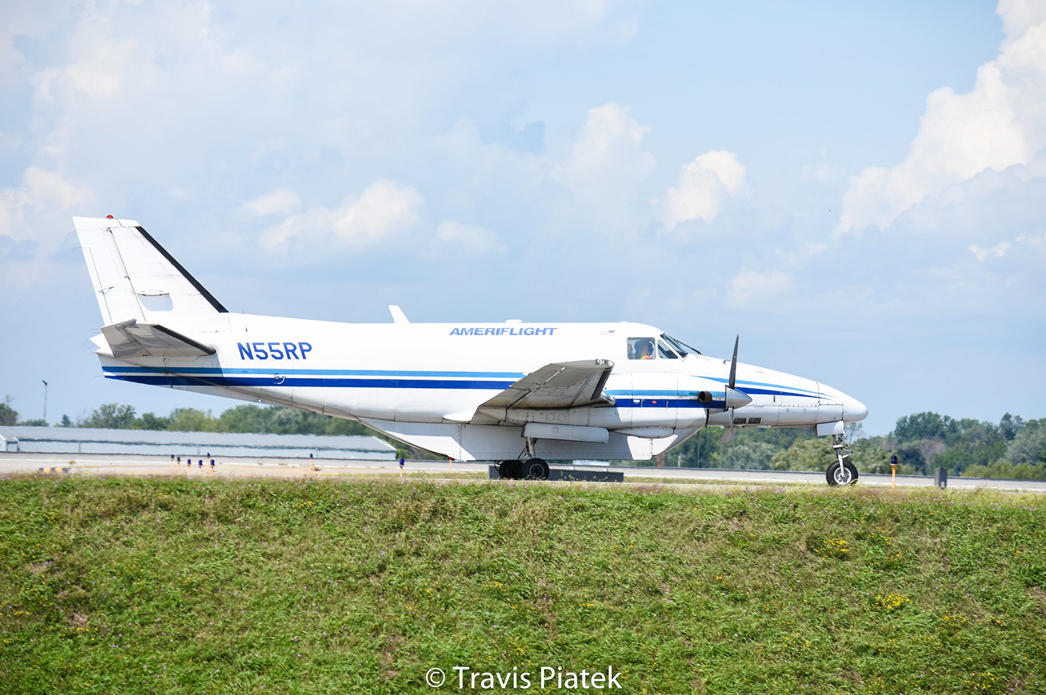
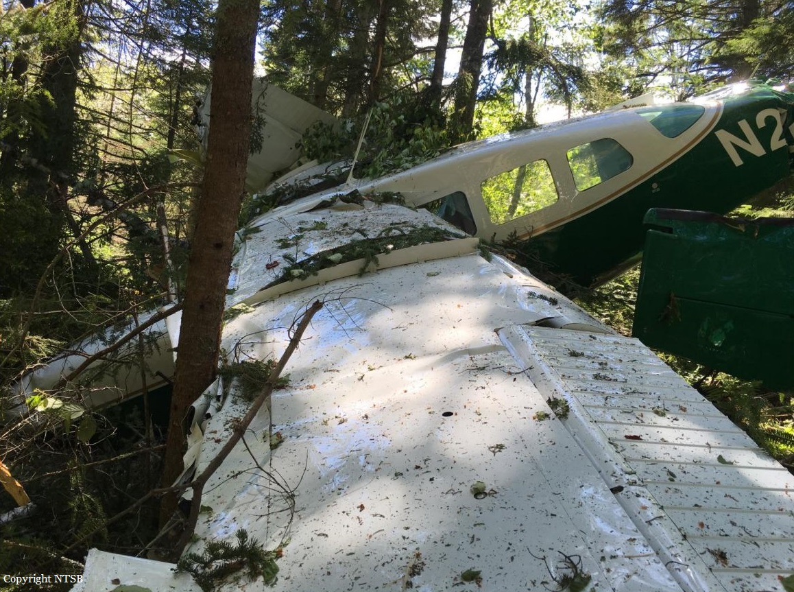
Crash of a Beechcraft C99 Airliner in Litchfield: 2 killed

Date & Time: Aug 22, 2023 at 1741 LT
Type of aircraft:
Operator:
Registration:
N55RP
Flight Phase:
Flight Type:
Survivors:
No
Schedule:
Auburn - Auburn
MSN:
U-198
YOM:
1982
Flight number:
WIG634
Crew on board:
2
Crew fatalities:
Pax on board:
0
Pax fatalities:
Other fatalities:
Total fatalities:
2
Circumstances:
The crew departed Auburn-Lewiston Municipal Airport on a local training mission under callsign WIG634. After making a circuit over Sebago Lake located southwest of the airport, the crew continued to the northeast when control was lost. The airplane entered a descent with a rate of 7,300 feet per minute until it crashed in a wooded area located near Mt Oak Hill, about 25 km northeast of Auburn-Lewiston Municipal Airport. The airplane was destroyed and both occupants were killed.

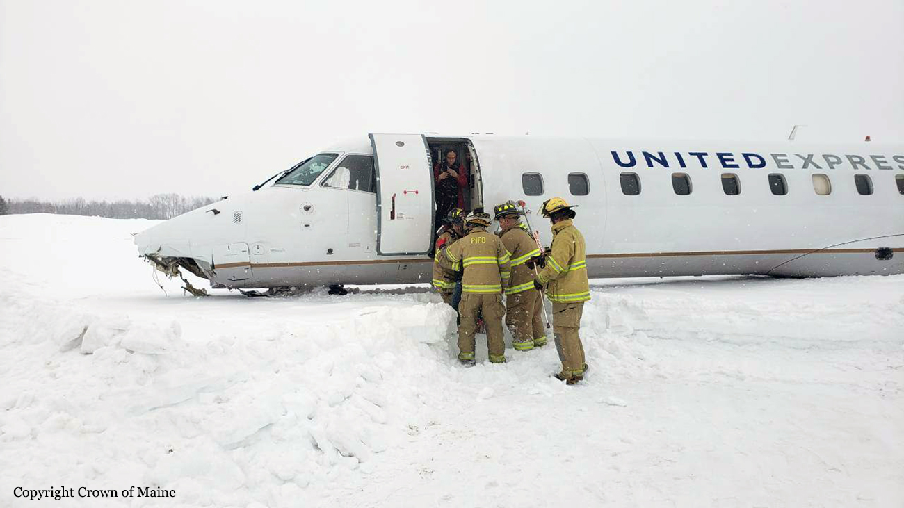
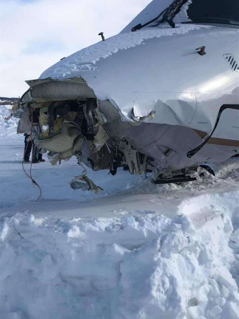
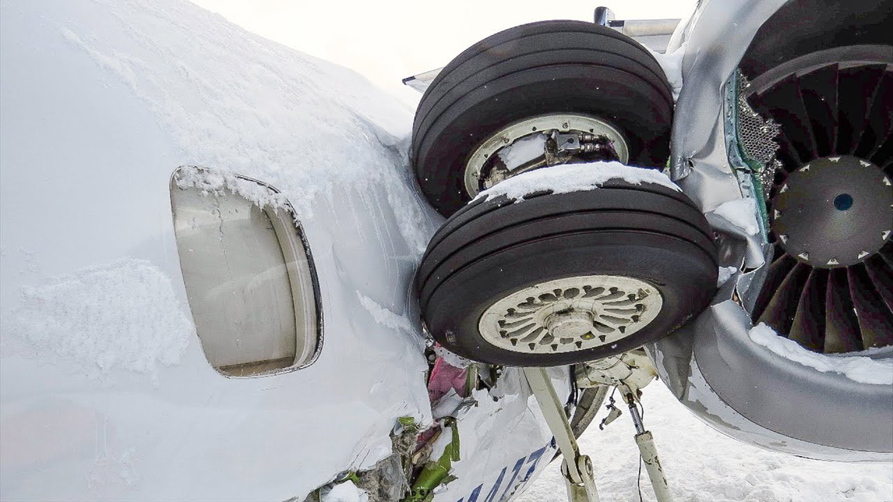
Crash of an Embraer ERJ-145XR in Presque Isle

Date & Time: Mar 4, 2019 at 1129 LT
Type of aircraft:
Operator:
Registration:
N14171
Survivors:
Yes
Schedule:
Newark - Presque Isle
MSN:
145-859
YOM:
2004
Flight number:
UA4933
Crew on board:
3
Crew fatalities:
Pax on board:
28
Pax fatalities:
Other fatalities:
Total fatalities:
0
Captain / Total flying hours:
5655
Captain / Total hours on type:
1044.00
Copilot / Total flying hours:
4909
Copilot / Total hours on type:
470
Circumstances:
The first instrument landing system (ILS) approach to runway 1 appeared to be proceeding normally until the first officer (the pilot flying) transitioned from instrument references inside the flight deck to outside references. During a postaccident interview, the first officer stated that he expected to see the runway at that time but instead saw “white on white” and a structure with an antenna that was part of the runway environment but not the runway itself. The captain (the pilot monitoring) stated that she saw a tower and called for a go-around. (Both flight crewmembers were most likely seeing the automated weather observing system wind sensor pole, which was located about 325 ft to the right of the runway 1 centerline and about 870 ft beyond the runway threshold, and the damage to the lightning arrester at the top of the wind sensor pole was likely due to contact with the accident airplane as it flew over the pole.) According to the cockpit voice recorder (CVR), after the go-around, the first officer asked the captain if she saw the runway lights during the approach. The captain responded that she saw the lights but that “it’s really white down there that’s the problem.” Airport personnel stated that snow plowing operations on the runway had finished about 10 minutes before the first approach. The CVR recorded the flight crew’s discussion about turning on the pilot-controlled runway lights and sounds similar to microphone clicks before and after the discussion. However, the PQI maintenance foreman stated that, after the first approach, the runway lights were not on. Thus, the investigation could not determine, based on the available evidence, whether the flight crew had turned on the runway lights during the first approach. The captain thought that the airplane had drifted off course when the first officer transitioned from flight instruments to the outside, so she instructed the first officer to remain on the instruments during the second approach until the decision altitude (200 ft above ground level [agl]). The second approach proceeded normally with no problems capturing or maintaining the localizer and glideslope. During this approach, the captain asked airport maintenance personnel to ensure that the runway lighting was on, and the PQI maintenance foreman replied that the lights were on “bright”(the high-intensity setting). Thus, the flight crew had a means to identify the runway surface even with the reported snow cover at the time. As the airplane approached the decision altitude, the captain instructed the first officer to disconnect the autopilot, which he did. About nine seconds later, the airplane reached the decision altitude, and the captain called, “runway in sight twelve o’clock.” This callout was followed by the first officer’s statement, “I’m stayin’ on the flight director ‘cause I don’t see it yet.” A few seconds later, while the airplane was below 100 ft agl, the captain and the first officer expressed confusion, stating “what the [expletive]” and “I don’t know what I'm see in’,” respectively, but neither called for a go-around. The airplane subsequently impacted the snow-covered grassy area between runway 1 and a parallel taxiway. During a postaccident interview, the first officer stated that, when he transitioned from flight instruments to the outside during the second approach, he again saw “white on white” as well as blowing snow and that the airplane touched down before he could determine what he was seeing. The maintenance foreman estimated that, at the time of the accident, the runway had about 1/8 inch of snow with about 20% to 25% of the runway visible.
Probable cause:
The flight crew’s decision, due to confirmation bias, to continue the descent below the decision altitude when the runway had not been positively identified. Contributing to the accident were:
1) the first officer’s fatigue, which exacerbated his confirmation bias, and
2) the failure of CommutAir pilots who had observed the localizer misalignment to report it to the company and air traffic before the accident.
Final Report:

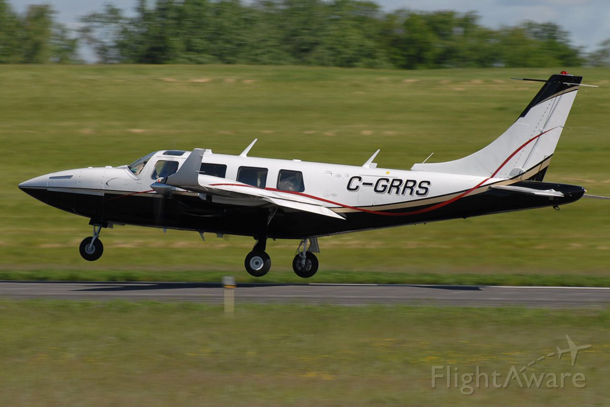
Crash of a Piper PA-60-602P Aerostar (Ted Smith 600) in Greenville: 3 killed

Date & Time: Jul 30, 2018 at 1044 LT
Operator:
Registration:
C-GRRS
Flight Type:
Survivors:
No
Schedule:
Pembroke – Charlottetown
MSN:
60-8265-026
YOM:
1982
Crew on board:
1
Crew fatalities:
Pax on board:
2
Pax fatalities:
Other fatalities:
Total fatalities:
3
Captain / Total flying hours:
590
Captain / Total hours on type:
136.00
Aircraft flight hours:
4856
Circumstances:
The private pilot of the multiengine airplane was in cruise flight at 23,000 ft mean sea level (msl) in day visual meteorological conditions when he reported to air traffic control that the airplane was losing altitude due to a loss of engine power. The controller provided vectors to a nearby airport; about 7 minutes later, the pilot reported the airport in sight and stated that he would enter a downwind leg for runway 14. By this time, the airplane had descended to about 3,200 ft above ground level. Radar data indicated that the airplane proceeded toward the runway but that it was about 400 ft above ground level on short final. The airplane flew directly over the airport at a low altitude before entering a left turn to a close downwind for runway 21. Witnesses stated that the airplane's propellers were turning, but they could not estimate engine power. When the airplane reached the approach end of runway 21, it entered a steep left turn and was flying slowly before the left wing suddenly "stalled" and the airplane pitched nose-down toward the ground. Postaccident examination of the airplane and engines revealed no mechanical deficiencies that would have precluded normal operation at the time of impact. Examination of both propeller systems indicated power symmetry at the time of impact, with damage to both assemblies consistent with low or idle engine power. The onboard engine monitor recorded battery voltage, engine exhaust gas temperature, and cylinder head temperature for both engines. A review of the recorded data revealed that about 14 minutes before the accident, there was a jump followed by a decrease in exhaust gas temperature (EGT) and cylinder head temperature (CHT) for both engines. The temperatures decreased for about 9 minutes, during which time the right engine EGT data spiked twice. Both engines' EGT and CHT values then returned to normal, consistent with both engines producing power, for the remaining 5 minutes of data. It is possible that a fuel interruption may have caused the momentary increase in both engines' EGT and CHT values and prompted the pilot to report the engine power loss; however, the engine monitor did not record fuel pressure or fuel flow, and examination of the airplane's fuel system and engines did not reveal any mechanical anomalies. Therefore, the reason for the reported loss of engine power could not be determined. It is likely that the pilot's initial approach for landing was too high, and he attempted to circle over the airport to lose altitude. While doing so, he exceeded the airplane's critical angle of attack while in a left turn and the airplane entered an aerodynamic stall at an altitude too low for recovery.
Probable cause:
The pilot's exceedance of the airplane's critical angle of attack while maneuvering to land, which resulted in an aerodynamic stall.
Final Report:

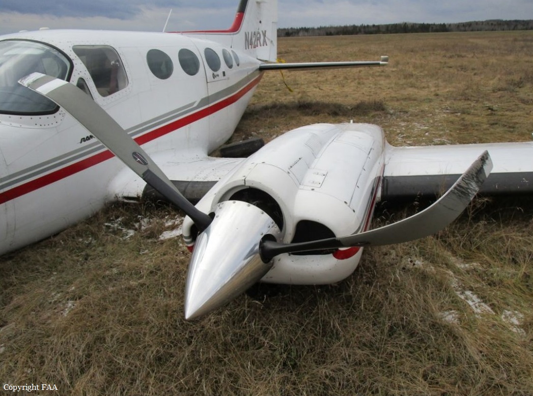
Crash of a Cessna 421C Golden Eagle III in Presque Isle

Date & Time: Nov 22, 2017 at 1845 LT
Operator:
Registration:
N421RX
Flight Phase:
Flight Type:
Survivors:
Yes
Schedule:
Presque Isle – Bangor
MSN:
421C-0264
YOM:
1977
Crew on board:
1
Crew fatalities:
Pax on board:
3
Pax fatalities:
Other fatalities:
Total fatalities:
0
Captain / Total flying hours:
4482
Captain / Total hours on type:
3620.00
Aircraft flight hours:
7473
Circumstances:
After takeoff, the commercial pilot saw flames coming from the left engine nacelle area. He retarded the throttle and turned off the fuel boost pump; however, the fire continued. He then feathered the propeller, shut down the engine, and maneuvered the airplane below the clouds to remain in the local traffic pattern. He attempted to keep the runway environment in sight while drifting in and out of clouds. He was unable to align the airplane for landing on the departure runway, so he attempted to land on another runway. When he realized that the airspeed was decreasing and that the airplane would not reach the runway, he landed it on an adjacent grass field. After touchdown, the landing gear separated, and the airplane came to a stop. The airframe sustained substantial damage to the wings and lower fuselage. Examination of the left engine revealed evidence of a fuel leak where the fuel mixture control shaft inserted into the fuel injector body, which likely resulted in fuel leaking onto the hot turbocharger in flight and the in-flight fire. A review of recent maintenance records did not reveal any entries regarding maintenance or repair of the fuel injection system. The pilot reported clouds as low as 500 ft with rain, snow, and reduced visibility at the time of the accident, which likely reduced his ability to see the runway and maneuver the airplane to land on it.
Probable cause:
The in-flight leakage of fuel from the fuel injection system's mixture shaft onto the hot turbocharger, which resulted in an in-flight fire, and the pilot's inability to see the runway due to reduced visibility conditions and conduct a successful landing.
Final Report:

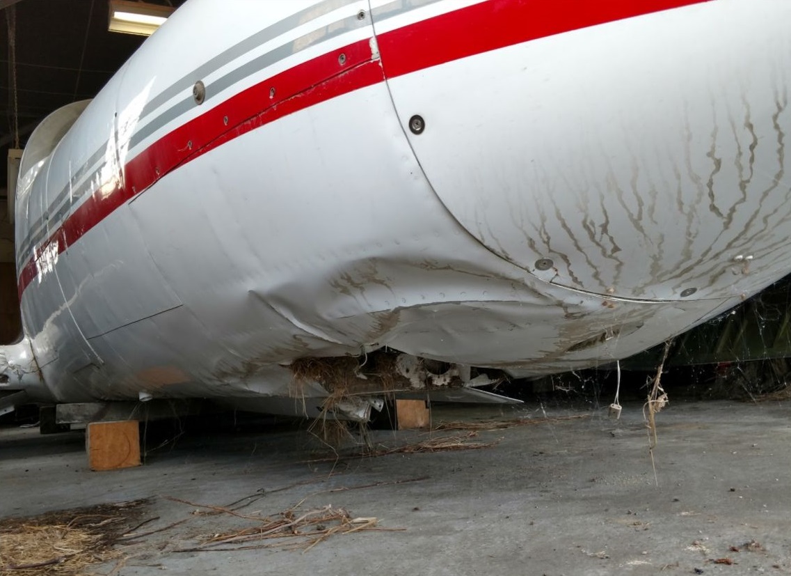
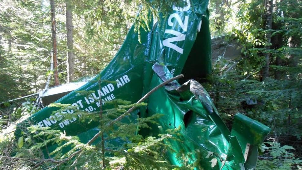
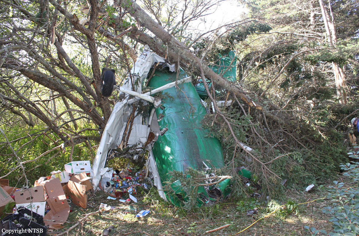
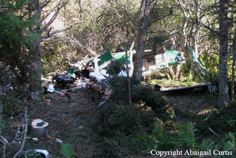
Crash of a Cessna 207 Stationair in Vinalhaven

Date & Time: Jun 26, 2017 at 0741 LT
Operator:
Registration:
N207GM
Flight Type:
Survivors:
Yes
Schedule:
Rockland - Vinalhaven
MSN:
207-0217
YOM:
1972
Crew on board:
1
Crew fatalities:
Pax on board:
0
Pax fatalities:
Other fatalities:
Total fatalities:
0
Captain / Total flying hours:
15436
Captain / Total hours on type:
356.00
Aircraft flight hours:
12458
Circumstances:
The pilot reported that the approach appeared normal, but during the landing on the 1,500 feet long gravel strip, the airplane firmly struck the runway and bounced. He added that the bounce was high and that the remaining runway was too short to correct the landing with power. The pilot chose to go around, applying full power and 20° of flaps for the balked landing procedure. During the climb, the airplane drifted left toward 50-ft-tall trees about 150 ft from the departure end of the runway. Unable to climb over the trees, the airplane struck the tree canopy, the nose dropped, and the pilot instinctively reduced power as the airplane descended through the trees and impacted terrain. The wings and fuselage were substantially damaged. The pilot reported no preimpact mechanical failures or malfunctions with the airplane that would have precluded normal operation.
Probable cause:
The pilot's failure to maintain a stabilized approach, which resulted in a bounced landing and subsequent go-around with insufficient distance to clear trees during the climb.
Final Report:

Crash of a Cessna 207A Stationair 7 in Matinicus Island: 1 killed

Date & Time: Oct 5, 2011 at 1730 LT
Operator:
Registration:
N70437
Flight Type:
Survivors:
No
Schedule:
Rockland - Matinicus Island
MSN:
207-0552
YOM:
1980
Crew on board:
1
Crew fatalities:
Pax on board:
0
Pax fatalities:
Other fatalities:
Total fatalities:
1
Captain / Total flying hours:
3100
Aircraft flight hours:
17106
Circumstances:
About the time of departure, the wind at the departure airport was reported to be from 330 degrees at 13 knots with gusts to 22 knots. The pilot departed with an adequate supply of fuel for the intended 15-minute cargo flight to a nearby island. He entered a left traffic pattern to runway 36 at the destination airport and turned onto final approach with 30 degrees of flaps extended. Witnesses on the island reported that, about this time, a sudden wind gust from the west occurred. A witness (a fisherman by trade) at the airport estimated the wind direction was down the runway at 35 to 40 knots, with slightly higher wind gusts. After the sudden wind gust, he noted the airplane suddenly bank to the right about 80 degrees and begin descending. It impacted trees and powerlines then the ground. The same witness reported the engine sound was steady during the entire approach and at no time did he hear the engine falter. About 30 minutes before the accident, a weather observing station located about 6 nautical miles south-southeast of the accident site indicated the wind from the north-northwest at 24 knots, with gusts to 27 knots. About 30 minutes after the accident, the station indicated the wind from the northwest at 30 knots, with gusts to 37 knots. Postaccident examination of the airplane, its systems, and engine revealed no evidence of preimpact failures or malfunctions that would have precluded normal operation. The evidence is consistent with the airplane’s encounter with a gusty crosswind that led to the airplane’s right bank and the pilot’s loss of control, resulting in an accelerated stall.
Probable cause:
The pilot’s failure to maintain airplane control during the approach after encountering a gusty crosswind, which resulted in an accelerated stall and uncontrolled descent.
Final Report:

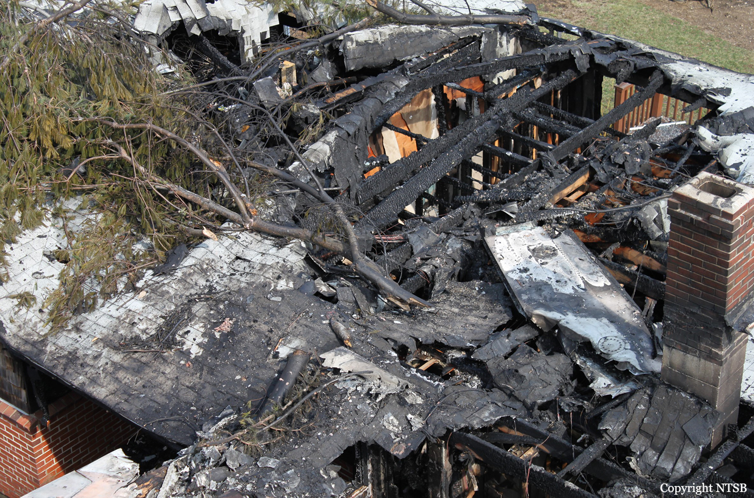
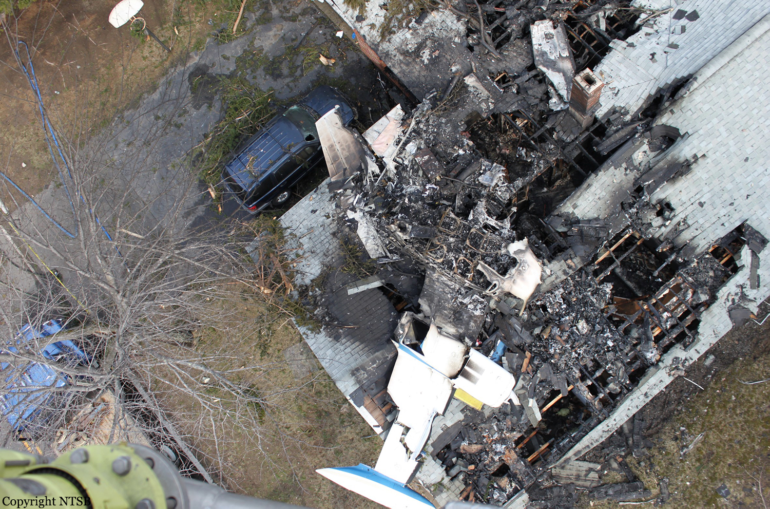
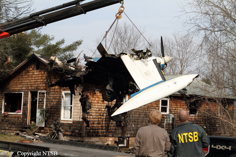
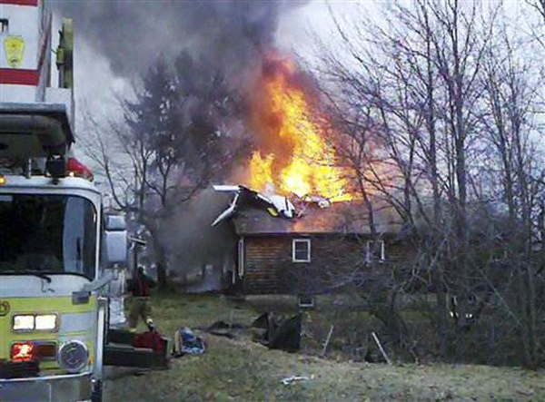
Crash of a Cessna 402B in Biddeford: 1 killed

Date & Time: Apr 10, 2011 at 1805 LT
Type of aircraft:
Operator:
Registration:
N402RC
Flight Type:
Survivors:
No
Site:
Schedule:
White Plains - Portland
MSN:
402B-1218
YOM:
1977
Location:
Crew on board:
1
Crew fatalities:
Pax on board:
0
Pax fatalities:
Other fatalities:
Total fatalities:
1
Captain / Total flying hours:
4735
Captain / Total hours on type:
120.00
Aircraft flight hours:
6624
Circumstances:
The multi-engine airplane was being repositioned to its base airport, and the pilot had requested to change the destination, but gave no reason for the destination change. Radar data indicated that the airplane entered the left downwind leg of the traffic pattern, flew at pattern attitude, and then performed a right approximate 250-degree turn to enter the final leg of the approach. During the final leg of the approach, the airplane crashed short of the runway into a house located in a residential neighborhood near the airport. According to the airplane's pilot operating handbook, the minimum multi-engine approach speed was 95 knots indicated airspeed (KIAS), and the minimum controllable airspeed was 82 KIAS. According to radar data, the airplane's ground speed was about 69 knots with the probability of a direct crosswind. Post accident examination of the propellers indicated that both propellers were turning at a low power setting at impact. During a controlled test run of the right engine, a partial power loss was noted. After examination of the throttle and control assembly, two o-rings within the assembly were found to be damaged. The o-rings were replaced with comparable o-rings and the assembly was reinstalled. During the subsequent test run, the engine operated smoothly with no noted anomalies. Examination of the o-rings revealed that the damage was consistent with the o-rings being pinched between the corner of the top o-ring groove and the fuel inlet surface during installation. It is probable that the right engine had a partial loss of engine power while on final approach to the runway due to the damaged o-ring and that the pilot retarded the engine power to prevent the airplane from rolling to the right. The investigation found no mechanical malfunction of the left engine that would have prevented the airplane from maintaining the published airspeed.
Probable cause:
The pilot did not maintain minimum controllable airspeed while on final approach with a partial loss of power in the right engine, which resulted in a loss of control. Contributing to the accident was the partial loss of engine power in the right engine due to the improperly installed o-rings in the engine’s throttle and control assembly.
Final Report:

Crash of a Cessna 525A CitationJet CJ1 in West Gardiner: 2 killed

Date & Time: Feb 1, 2008 at 1748 LT
Type of aircraft:
Registration:
N102PT
Flight Phase:
Flight Type:
Survivors:
No
Schedule:
Augusta - Lincoln
MSN:
525-0433
YOM:
2001
Crew on board:
1
Crew fatalities:
Pax on board:
1
Pax fatalities:
Other fatalities:
Total fatalities:
2
Captain / Total flying hours:
3522
Aircraft flight hours:
1650
Aircraft flight cycles:
1700
Circumstances:
The instrument-rated private pilot departed on an instrument flight rules (IFR) cross-country flight plan in near-zero visibility with mist, light freezing rain, and moderate mixed and clear icing. After departure, and as the airplane entered a climbing right turn to a track of about 260 degrees, the pilot reported to air traffic control that she was at 1,000 feet, climbing to 10,000 feet. The flight remained on a track of about 260 degrees and continued to accelerate and climb for 38 seconds. The pilot then declared an emergency, stating that she had an attitude indicator failure. At that moment, radar data depicted the airplane at 3,500 feet and 267 knots. Thirteen seconds later, the pilot radioed she wasn't sure which way she was turning. The transmission ended abruptly. Radar data indicated that at the time the transmission ended the airplane was in a steep, rapidly descending left turn. The fragmented airplane wreckage, due to impact and subsequent explosive forces, was located in a wooded area about 6 miles south-southwest of the departure airport. Examination of the accident site revealed a near vertical high-speed impact consistent with an in-flight loss of control. The on-site examination of the airframe remnants did not show evidence of preimpact malfunction. Examination of recovered engine remnants revealed evidence that both engines were producing power at the time of impact and no preimpact malfunctions with the engines were noted. The failure, single or dual, of the attitude indicator is listed as an abnormal event in the manufacturer's Pilot's Abbreviated Emergency/Abnormal Procedures. The airplane was equipped with three different sources of attitude information: one incorporated in the primary flight display unit on the pilot's side, another single instrument on the copilot's side, and the standby attitude indicator. In the event of a dual failure, on both the pilot and copilot sides, aircraft control could be maintained by referencing to the standby attitude indicator, which is in plain view of the pilot. The indicators are powered by separate sources and, during the course of the investigation, no evidence was identified that indicated any systems, including those needed to maintain aircraft control, failed. The pilot called for a weather briefing while en route to the airport 30 minutes prior to departure and acknowledged the deteriorating weather during the briefing. Additionally, the pilot was eager to depart, as indicated by comments that she made before her departure that she was glad to be leaving and that she had to go. Witnesses indicated that as she was departing the airport she failed to activate taxi and runway lights, taxied on grass areas off taxiways, and announced incorrect taxi instructions and runways. Additionally, no Federal Aviation Administration authorization for the pilot to operate an aircraft between 29,000 feet and 41,000 feet could be found; the IFR flight plan was filed with an en route altitude of 38,000 feet. The fact that the airplane was operating at night in instrument meteorological conditions and the departure was an accelerating climbing turn, along with the pilot's demonstrated complacency, created an environment conducive to spatial disorientation. Given the altitude and speed of the airplane, the pilot would have only had seconds to identify, overcome, and respond to the effects of spatial disorientation.
Probable cause:
The pilot's spatial disorientation and subsequent failure to maintain airplane control.
Final Report:

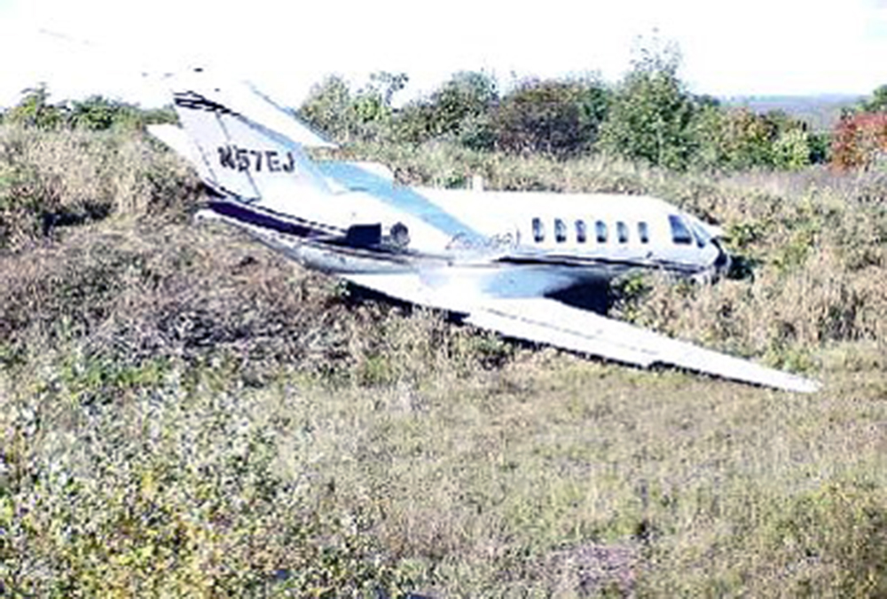
Crash of a Cessna 525A CitationJet CJ2 in Dexter

Date & Time: Oct 7, 2002 at 1017 LT
Type of aircraft:
Operator:
Registration:
N57EJ
Survivors:
Yes
Schedule:
Plainville - Dexter
MSN:
525A-0057
YOM:
2002
Location:
Crew on board:
2
Crew fatalities:
Pax on board:
2
Pax fatalities:
Other fatalities:
Total fatalities:
0
Captain / Total flying hours:
2450
Captain / Total hours on type:
872.00
Aircraft flight hours:
113
Circumstances:
The pilot/owner initiated a VFR approach and landing in a Cessna 525A, to a 3,009-foot long runway with a tailwind of about 7 knots. The touchdown was 642 feet past the approach end of the runway. Vref was calculated to be 108 kts; however, data from the EGPWS showed the ground speed was about 137 kts, 9 seconds before touchdown, and at touchdown, the speed was estimated to be about 130 kts. After touchdown, the pilot selected ground flaps, which moved the flaps from 35 degrees to 60 degrees, the spoilers auto-deployed, and the speed brakes were extended. The pilot said that after applying the brakes, he felt the brakes pedals pulsing, and did not think the airplane was slowing. He released the brakes for a few seconds and then reapplied them. Again, he felt the pulsing in the pedals, but the airplane was not slowing as he expected. He released the brakes, reset the flaps to takeoff, and applied power to abort the landing when he was about halfway down the runway. The airplane departed the end of the runway and traveled for about 300 feet. Skid marks revealed the initial touchdown was most like made with brakes applied, and no locked wheel crossover protection. Additional skid marks revealed the airplane became airborne after touchdown, and in the next 750 ft, touched down 3 more times, each subsequent touchdown occurring without the full weight of the airplane on the wheels. Tire marks on the last half of the runway were consistent with brakes applied and anti-skid operative. Using the approved flight manual standards, the airplane would have required 3,155 feet to stop. This was predicated on crossing the threshold at 50 feet, at Vref, and included a ground roll of 1,895 feet. However, the pilot touched down at 642 feet from the threshold, which left sufficient runway for stopping. Using the pilot's touchdown point of 642 feet, the airplane was capable of stopping on the runway with a Vref as high as 120 kts. The approach was unstabilized with 4 aural warnings, including 2 sink rate warnings on final approach, the last of which occurred with a descent rate of over 1,700 fpm down, 19 seconds prior to touchdown, and about 400 feet above the ground. The last airborne GPS position was about 2,000 ft from runway touchdown. This would have required a flight path angle of about 3.8 degrees to achieve the reported touchdown position.
Probable cause:
The pilot's improper decision to land with excessive speed, and his delayed decision to perform an aborted landing, both of which resulted in a runway overrun. A factor was the tailwind.
Final Report:

Crash of a Beechcraft B200 Super King Air in Rangeley: 2 killed

Date & Time: Dec 22, 2000 at 1716 LT
Registration:
N30EM
Survivors:
No
Site:
Schedule:
Rangeley – Boston – Portland – Rangeley
MSN:
BB-958
YOM:
1982
Crew on board:
1
Crew fatalities:
Pax on board:
1
Pax fatalities:
Other fatalities:
Total fatalities:
2
Captain / Total flying hours:
15500
Aircraft flight hours:
8845
Circumstances:
The pilot and passenger departed on a night IFR flight. Weather en route was a mixture of instrument and visual meteorological conditions. When the airplane was 17 miles southwest of its destination, the pilot was cleared for an instrument approach. At 9 miles, the pilot reported the airport in sight, and canceled his IFR clearance. The airplane continued to descend towards the airport on a modified left base until radar contact was lost at 3,300 feet msl. The pilot was in radio contact with his wife just prior to the accident. He advised her that he was on base for runway 32. Neither the pilot's wife, nor ATC received a distress call from the pilot. The airplane was located the next morning about 100 feet below the top of a mountain. The accident site was 7.9 miles from the airport, and approximately 1,200 feet above the airport elevation. Ground based weather radar recorded light snow showers, in the general vicinity of the accident site about the time of the accident, and satellite imagery showed that the airplane was operating under a solid overcast. A level path was cut through the trees that preceded the main wreckage. Examination of both engines and the airframe revealed no pre impact failures or malfunctions.
Probable cause:
The pilot-in-command's failure to maintain sufficient altitude while maneuvering to land, which resulted in a collision with terrain. Factors in the accident were the dark night, mountainous terrain, snow showers, clouds, and the pilot's decision to cancel his IFR clearance.
Final Report: