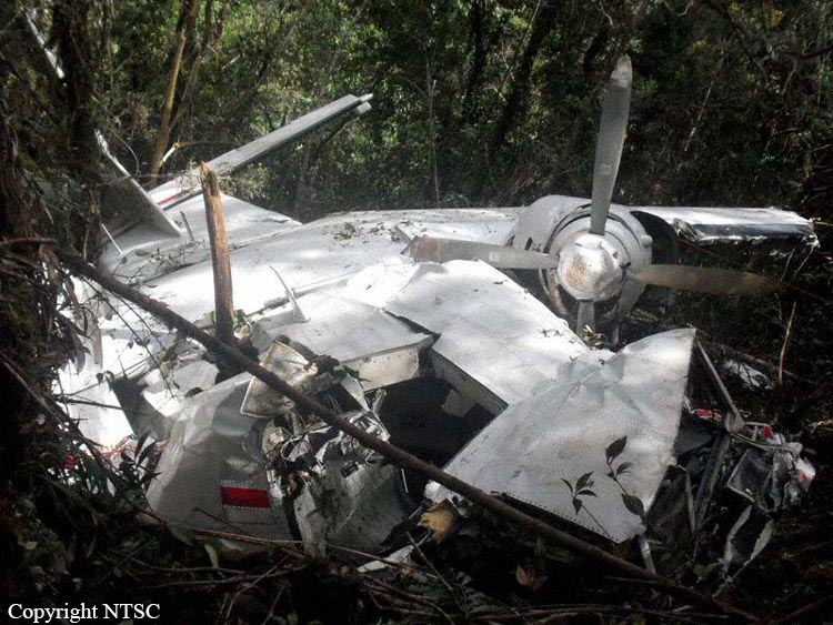
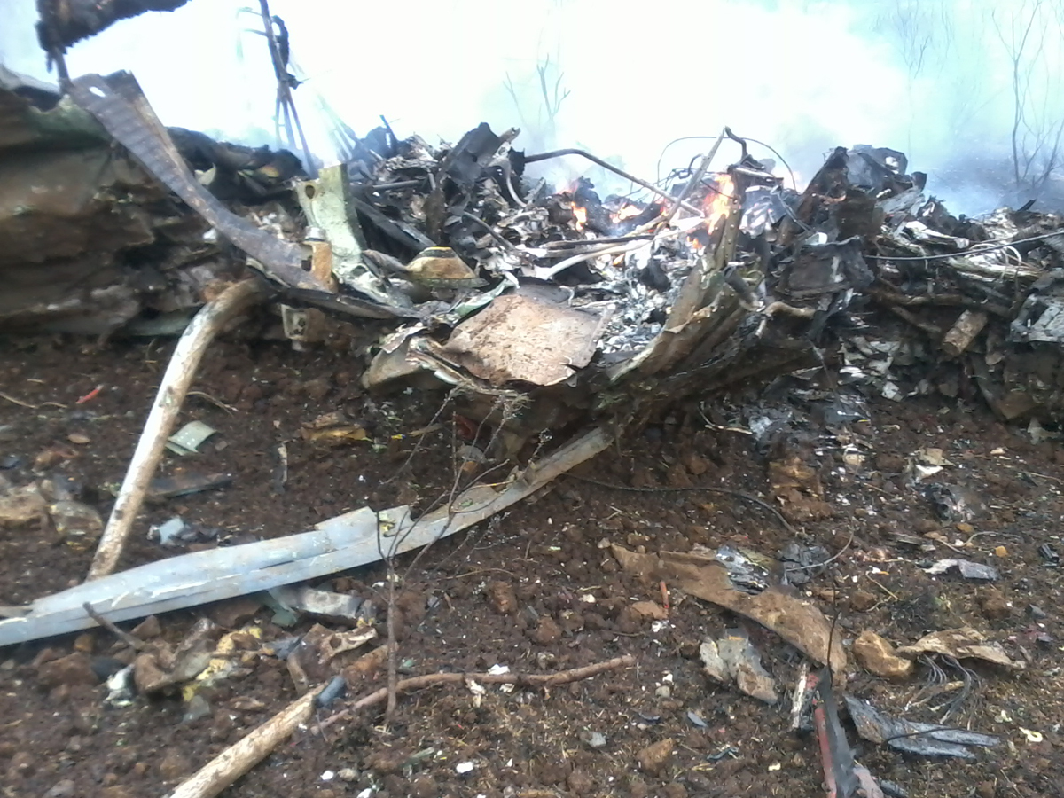
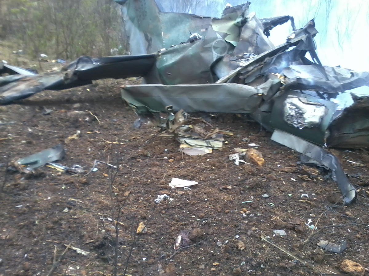
Crash of a Britten-Norman BN-2T Islander in Dhorpatan: 6 killed

Date & Time: Oct 18, 2011 at 1906 LT
Type of aircraft:
Operator:
Registration:
RAN-49
Flight Phase:
Flight Type:
Survivors:
No
Site:
Schedule:
Nepalgunj – Kathmandou
MSN:
2191
YOM:
1988
Country:
Region:
Crew on board:
1
Crew fatalities:
Pax on board:
5
Pax fatalities:
Other fatalities:
Total fatalities:
6
Circumstances:
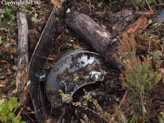
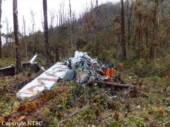
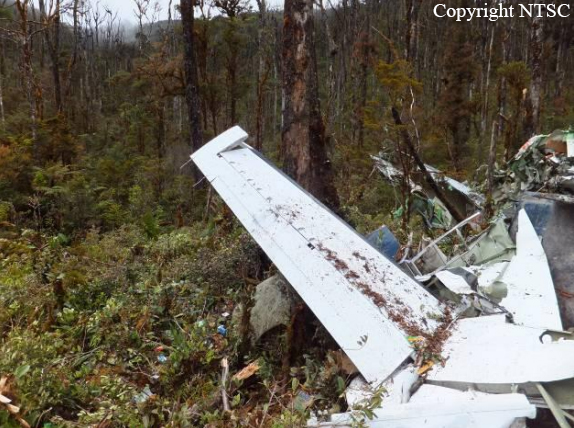
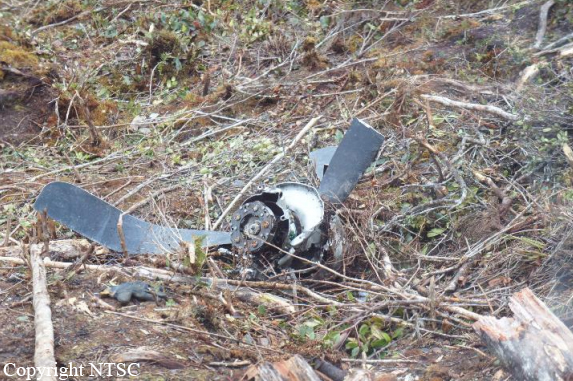
The single engine aircraft was performing an ambulance flight from Nepalgunj to the capital city Kathmandu with a patient, one accompanist, two doctors, a nurse and a pilot on board. It crashed in unknown circumstances in a hilly and wooded terrain near Dhorpatan, killing all six occupants.

Crash of a Casa 212 Aviocar 200 near Bohorok: 18 killed

Date & Time: Sep 29, 2011 at 0750 LT
Type of aircraft:
Operator:
Registration:
PK-TLF
Flight Phase:
Survivors:
No
Site:
Schedule:
Medan - Kuta Cane
MSN:
88N/283
YOM:
1989
Flight number:
NBA823
Country:
Region:
Crew on board:
2
Crew fatalities:
Pax on board:
16
Pax fatalities:
Other fatalities:
Total fatalities:
18
Captain / Total flying hours:
5935
Captain / Total hours on type:
3730.00
Copilot / Total flying hours:
2500
Copilot / Total hours on type:
1100
Aircraft flight hours:
11329
Aircraft flight cycles:
13626
Circumstances:
On 29 September 2011, a CASA 212-200 aircraft registered PK-TLF was being operated by Nusantara Buana Air as a non-scheduled passenger flight from Polonia International Airport (MES/WIMM), Medan - North Sumatera1 to Alas Leuser Airstrip Kuta Cane, South East Aceh. The flight was conducted under Visual Flight Rules (VFR) The aircraft departed from Medan at 0728 LT (0028 UTC) and scheduled to be arrived at Kuta Cane at 0058 UTC. There were 18 person on board consisted of two pilots and 16 passengers including two children and two infants. The aircraft radar target was last observed on the radar screen at about 0050 UTC, while at position on radial 262˚ and 35 NM from MDN VOR. The aircraft was found impacted to a of 70º slope terrain at 5,055 feet altitude in the Leuser Mountain National Park, direction of 109 and 16 Nm from Kuta Cane on coordinate N 030 24’ 00” E 0980 01’ 00”. All 18 occupants were fatally injured and the aircraft was severely damage.
Probable cause:
Factors:
1. The flight was in VFR however both pilots agreed to fly into the cloud, consequently, the flight crew had lack of situation awareness due to lost of visual references to the ground and no or late recovery action prior to impact due to low visibility.
2. There was lack of good crew coordination due to steep cockpit transition gradient.
3. There was no checklist reading and crew briefing.
Final Report:

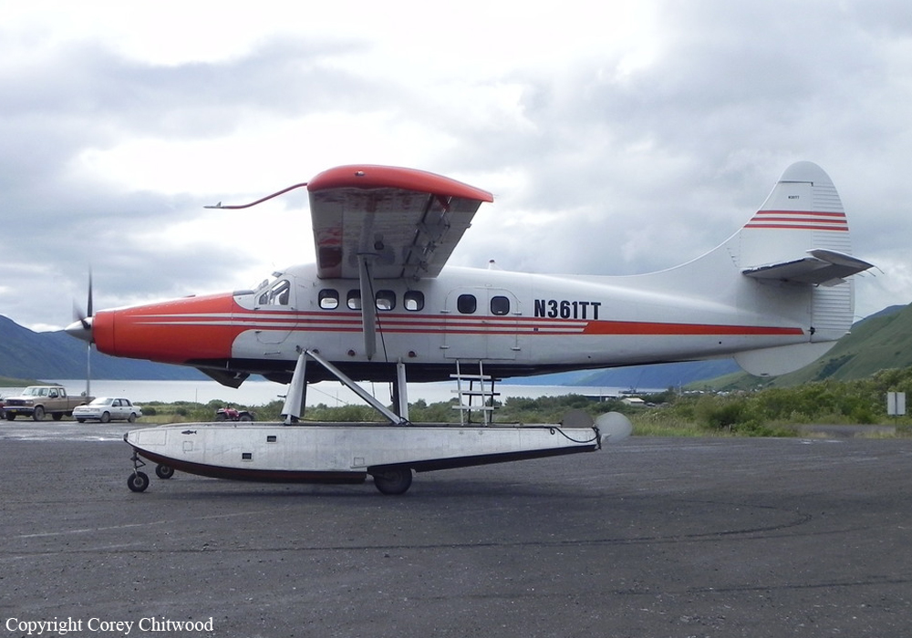
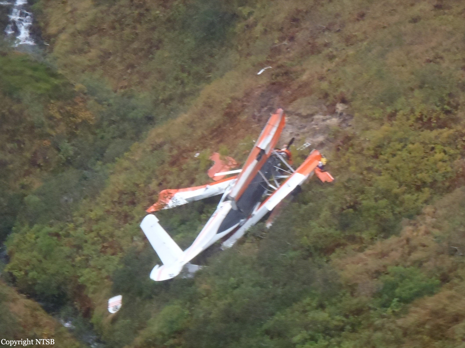
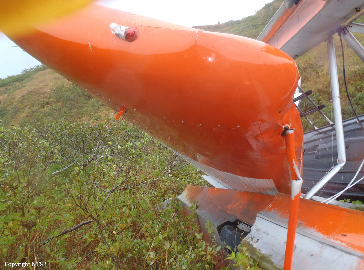
Crash of a De Havilland DHC-3T Turbo Otter near Kodiak: 1 killed

Date & Time: Sep 23, 2011 at 1930 LT
Type of aircraft:
Operator:
Registration:
N361TT
Flight Phase:
Survivors:
Yes
Site:
Schedule:
Old Harbor - Kodiak
MSN:
361
YOM:
1960
Location:
Crew on board:
1
Crew fatalities:
Pax on board:
2
Pax fatalities:
Other fatalities:
Total fatalities:
1
Captain / Total flying hours:
3000
Captain / Total hours on type:
280.00
Aircraft flight hours:
14634
Circumstances:
According to a passenger who was seated in the front, right seat, as the flight progressed toward the destination, the pilot decided to make an unscheduled landing at a lake that was surrounded by rising terrain. The passenger said that after making an easterly approach to the lake, before touching down, the pilot initiated a go-around. The passenger said they flew low over the surface of the lake toward a “V” shaped notch formed by a creek with hills on either side at the east end of the lake. He said that while flying through the notch, he thought the left wing of the airplane had hit the hillside. He said the pilot reacted by pulling back hard on the control yoke and rolling the airplane to the right. The airplane entered a steep climb, it began to shake, and stall warning horn sounded. The airplane then rolled left into a steep descent and impacted the ground in a nose-down attitude. The airplane’s left wing had impacted a tree on the creek bank prior to the crash. A postaccident examination of the airframe and engine revealed no evidence of mechanical malfunctions or failures that would have precluded normal operation. Toxicological tests detected the pilot’s recent use of over-the-counter medications used for relief of cold and flu symptoms. Two of these medications are sedating. The use of these sedating medications on the day of the accident or the underlying illness may have affected the pilot’s performance. Given the lack of mechanical deficiencies with the airplane, and the passenger's account of the accident, it is likely the pilot failed to maintain adequate clearance with a tree while performing a low altitude maneuver following a go-around.
Probable cause:
The pilot’s failure to maintain clearance from a tree during a low altitude maneuver and his failure to maintain control of the airplane. Contributing to the accident was the pilot’s use of over-the-counter sedating medications.
Final Report:

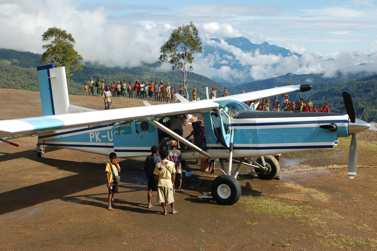
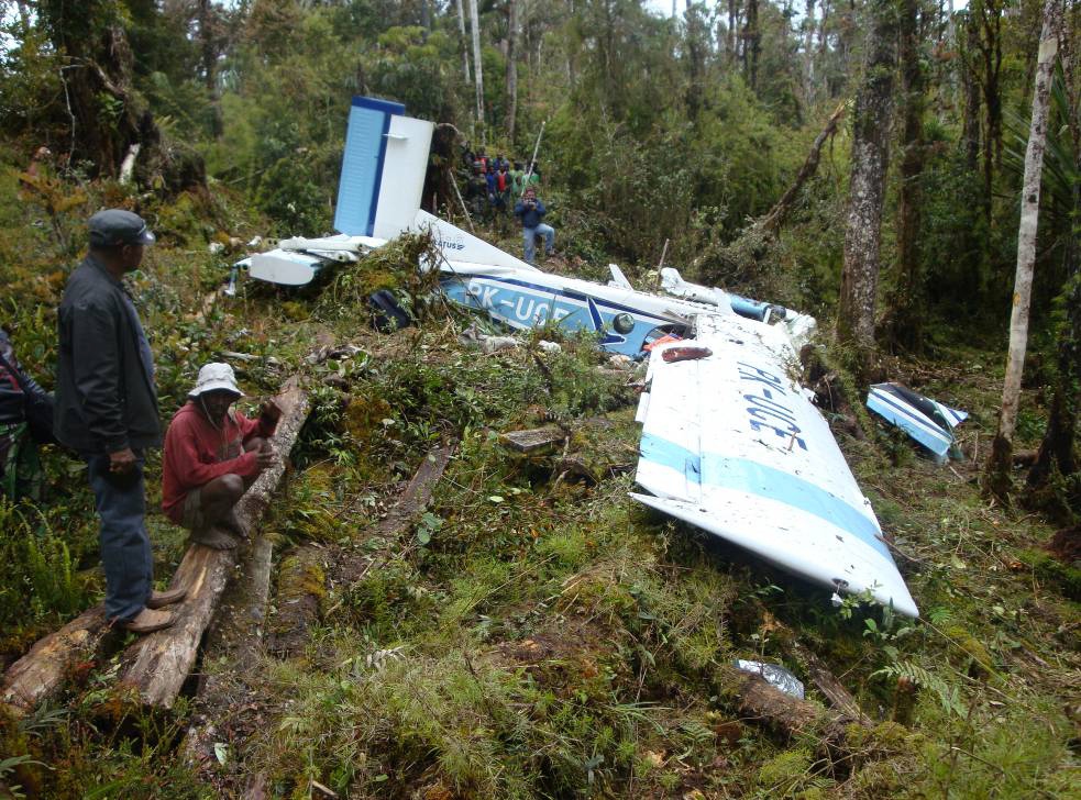
Crash of a Pilatus PC-6/B2-H4 Turbo Porter near Yahatma: 3 killed

Date & Time: Sep 22, 2011 at 1313 LT
Operator:
Registration:
PK-UCE
Flight Phase:
Survivors:
No
Site:
Schedule:
Pagai - Wamena
MSN:
943
YOM:
2004
Country:
Region:
Crew on board:
1
Crew fatalities:
Pax on board:
2
Pax fatalities:
Other fatalities:
Total fatalities:
3
Captain / Total flying hours:
11312
Captain / Total hours on type:
2647.00
Aircraft flight hours:
5774
Aircraft flight cycles:
6662
Circumstances:
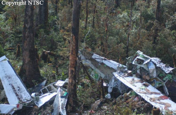
On 22 September 2011, a PC 6 Pilatus Porter aircraft, registration PK-UCE was being operated by Yayasan Jasa Aviasi Indonesia (YAJASI) departed from Pagai to Wamena. The aircraft departed at 0403 UTC1 (1303 LT) and estimated to arrive at Wamena was at 0436 UTC. Aircraft cruise at altitude of 10,000 feet and conducted under Visual Flight Rules (VFR) and followed the visual route via North Gap corridor, which one of visual route to Wamena. Prior to enter the North Gap corridor at time 0413 UTC, the pilot sent a message via a system they called AFFIS to the company Flight Following Officer at Sentani Airport, which was the operation base. The pilot also sent a blind transmission message through Wamena Tower radio frequency. This was local procedure, to submit the message consists of position, altitude and destination to make the other aircraft pilots aware each other. As in the intern YAJASI flight following procedure, pilot should send message when the flying passes the North Gap corridor. In this flight, until the normal elapsed time, the pilot did not send any message to their Flight Following Officer at Sentani that the flight has passed the North Gap corridor. Since there was no message nor radio contact from the pilot until the ETA in Wamena, the Flight Following Officer at Sentani informed to the other personnel at the operation base, and alarmed to the other YAJASI aircraft which were flying in that area to start search the PK-UCE. Some other aircrafts which were flying in the vicinity also contacted to search the PKUCE. PK-UCE was found in mountain location adjacent to Pass Valley airstrip. The accident site was at coordinate S 030 54’ 54.4’’, E 1390 02’ 24.3”, the aircraft was hit the trees and the ground where the elevation was about 7500 feet , the propeller blades was not on feather and bent rearward, the left wing was broken and the aircraft stopped on heading about 85°.
Probable cause:
The pilot decided to descend from the cruise altitude 10000 feet to penetrate the area of marginal weather was most likely not as what his perceive. The pilot avoided the cloud to the left of the VFR route guidance and most likely that the space available was less than the requirement stated for the Weather Minimum class F.
Final Report:

Crash of a Cessna 208B Grand Caravan near Notnare: 2 killed

Date & Time: Sep 9, 2011 at 1230 LT
Type of aircraft:
Operator:
Registration:
PK-VVE
Flight Phase:
Flight Type:
Survivors:
No
Site:
Schedule:
Wamena - Kenyam
MSN:
208B-1287
YOM:
2007
Country:
Region:
Crew on board:
2
Crew fatalities:
Pax on board:
0
Pax fatalities:
Other fatalities:
Total fatalities:
2
Captain / Total flying hours:
1546
Captain / Total hours on type:
1315.00
Copilot / Total flying hours:
927
Copilot / Total hours on type:
147
Aircraft flight hours:
3926
Aircraft flight cycles:
5267
Circumstances:
A Cessna 208B Grand Caravan I was destroyed when it crashed in the Yahukimo District, Indonesia. Both crew members were killed. The airplane was being operated on a non-scheduled cargo flight from Wamena Airport to Kenyam Aerodrome in Papua, Indonesia. The flight was being conducted under visual flight rules (VFR) and the pilot reported to ATC that the planned altitude was 9,500 feet. On board the aircraft were two pilots, a manifested load of diesel drums and grocery items, and a non-manifested load of 25 bags of rice weighing 827 lb (375 kg). The takeoff weight, based on the manifested cargo and the additional load of rice was estimated by the investigation to be 9,681 lb (4,391 Kg) which was 619 lb (281 Kg) above the certificated maximum takeoff weight. Also, the aircraft Centre of Gravity (C of G) was outside the certificated C of G envelope. The aircraft took off from Wamena runway 15 at 12:17 local time. The aircraft was then flown along a track toward Kenyam which was consistent with the route used by other company pilots and previously flown by the pilot in command. The additional loading contributed to a reduced rate of climb during the flight which resulted in the aircraft being below 10,000 ft as it approached the high terrain. This altitude was 1,500 ft lower than the altitude specified in the operator's route guide for operations between Wamena and Kenyam, and lower than the altitude flown by other company pilots when operating in the area, including three other flights on the day of the accident which overflew the high terrain between 11,200 and 12,500 ft. At 12:29:43, as the aircraft approached the high terrain at an altitude of 9,538 ft, the airspeed commenced decreasing which was accompanied by the average rate of climb increasing to about 390 fpm. It is probable that the pilots recognized the proximity of the terrain and attempted to improve the aircraft's angle of climb by decelerating towards the best angle of climb speed of 72 kts. The recorded data showed that 31 seconds after the airspeed started to decrease, the engine power varied with a maximum engine torque of 1,675 ft/lb being recorded at 12:30:30 with changes in the other engine parameters being consistent with a selection of a higher power setting. This is likely to have been associated with the pilot's attempts to improve terrain clearance. The recorded data then showed the aircraft in a descending right turn for about 6 seconds. The altitude reduced over a period of 4 seconds from 9,865 ft to 9,728 ft at an average rate of descent of about 2,000 fpm. This turn was likely to have been initiated to either avoid cloud or improve terrain clearance. The aircraft subsequently commenced to roll to the left at 12:30:35 with the left roll continuing for the following 14 seconds. It was likely that the left turn was initiated to avoid either cloud or terrain. During the left turn, the angle of bank reached a maximum value of 46° and the aircraft descended from 9,728 ft to 9,045 ft at a high rate of descent. The airspeed also increased from 92 kts to 122 kts during the descent. The engine power was reduced to idle soon after the aircraft commenced descending which was most likely due to the handling pilot attempting to recover from the high descent rate and increasing airspeed. The recorded data indicated that three EGPWS alerts activated during the descent. The aircraft had stopped descending at 12:30:50 and had commenced climbing with a reducing left angle of bank when the airplane impacted terrain at an elevation of 9,100 feet.
Probable cause:
Factors that contributed to the accident are as follows:
a. The aircraft was loaded to a weight in excess of the maximum certificated takeoff weight.
b. The aircraft climb performance was adversely affected by the aircraft being operated above the certificated maximum takeoff weight.
c. The aircraft approached high terrain along the proposed route at an altitude which was below that specified in the operator's route guide.
d. The aircraft entered a high rate of descent during a terrain avoidance maneuver.
e. Recovery from the abnormal flight path was not achieved before the aircraft collided with terrain.
Final Report:

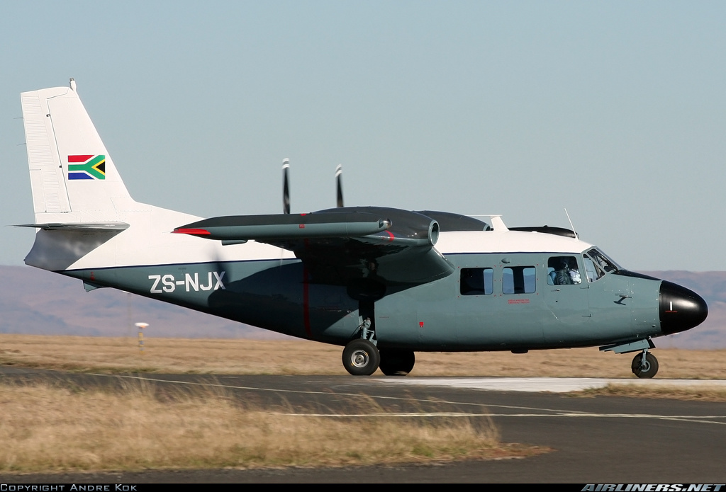
Crash of a Piaggio P.166S Albatross near Tzaneen: 6 killed

Date & Time: Aug 14, 2011 at 1030 LT
Type of aircraft:
Registration:
ZS-NJX
Flight Phase:
Flight Type:
Survivors:
No
Site:
Schedule:
Tzaneen - Johannesburg
MSN:
446
YOM:
1973
Location:
Country:
Region:
Crew on board:
1
Crew fatalities:
Pax on board:
5
Pax fatalities:
Other fatalities:
Total fatalities:
6
Captain / Total flying hours:
4286
Aircraft flight hours:
6180
Circumstances:
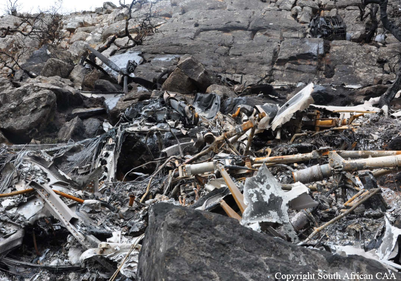
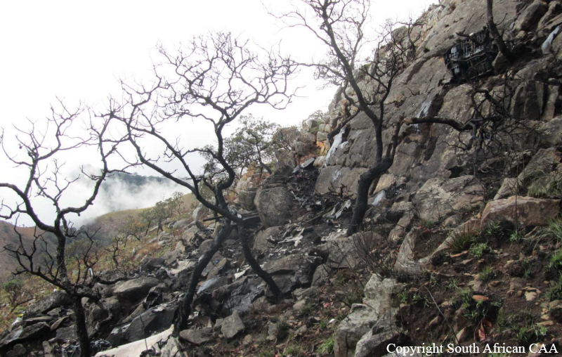
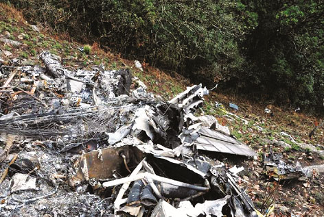
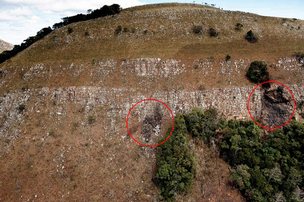
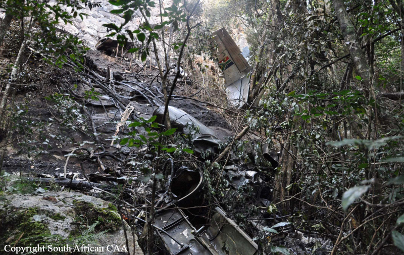
Two aircraft, ZS-NJX and ZU-MMI, with 6 and 7 people on board respectively, took off from Tzaneen aerodrome (FATZ) on 14 August 2011 at approximately 0820Z, engaged in private flights with the intention of landing at Rand Airport (FAGM) on the same day. As both aircraft had not arrived at Rand Airport at their expected time of arrival, numerous attempts were made to contact the aircraft and these were unsuccessful. The search and rescue mission was initiated to try and locate these aircraft. The search and rescue mission was based around the area where the aircraft were believed to have had last contact with each other and with other traffic. Unfortunately due to bad weather in and around the area of last contact of these aircraft, they could only be located approximately two days after they had collided with a mountain in the Lekgalametse valley. Both aircraft were destroyed by post-impact fire and all the occupants of both aircraft were fatally injured.
Probable cause:
The accident was the consequence of a controlled flight into terrain.
Contributory factors:
- Lack of proper flight planning,
- Low Clouds.
Final Report:

Crash of a Piaggio P.166S Albatross near Tzaneen: 7 killed

Date & Time: Aug 14, 2011 at 1030 LT
Type of aircraft:
Operator:
Registration:
ZU-MMI
Flight Phase:
Flight Type:
Survivors:
No
Site:
Schedule:
Tzaneen - Johannesburg
MSN:
462
YOM:
1973
Location:
Country:
Region:
Crew on board:
1
Crew fatalities:
Pax on board:
6
Pax fatalities:
Other fatalities:
Total fatalities:
7
Captain / Total flying hours:
2893
Aircraft flight hours:
4501
Circumstances:
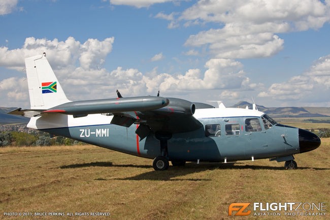
Two aircraft, ZS-NJX and ZU-MMI, with 6 and 7 people on board respectively, took off from Tzaneen aerodrome (FATZ) on 14 August 2011 at approximately 0820Z, engaged in private flights with the intention of landing at Rand Airport (FAGM) on the same day. As both aircraft had not arrived at Rand Airport at their expected time of arrival, numerous attempts were made to contact the aircraft and these were unsuccessful. The search and rescue mission was initiated to try and locate these aircraft. The search and rescue mission was based around the area where the aircraft were believed to have had last contact with each other and with other traffic. Unfortunately due to bad weather in and around the area of last contact of these aircraft, they could only be located approximately two days after they had collided with a mountain in the Lekgalametse valley. Both aircraft were destroyed by post-impact fire and all the occupants of both aircraft were fatally injured.
Probable cause:
The accident was the consequence of a controlled flight into terrain.
Contributory factors:
- Lack of proper flight planning,
- Low Clouds.
Final Report:

Crash of a Cessna 207 Skywagon near McGrath: 2 killed

Date & Time: Aug 13, 2011 at 1940 LT
Operator:
Registration:
N91099
Flight Phase:
Survivors:
Yes
Site:
Schedule:
McGrath - Anvik - Aniak
MSN:
207-0073
YOM:
1969
Location:
Crew on board:
1
Crew fatalities:
Pax on board:
5
Pax fatalities:
Other fatalities:
Total fatalities:
2
Captain / Total flying hours:
25000
Captain / Total hours on type:
10000.00
Aircraft flight hours:
31618
Circumstances:
The commercial pilot departed with five passengers on an on-demand air taxi flight between two remote Alaskan villages separated by mountainous terrain. When the airplane did not reach its destination, the operator reported the airplane overdue. After an extensive search, the airplane's wreckage was discovered in an area of steep, tree-covered terrain, about 1,720 feet msl, along the pilot's anticipated flight path. The flight was conducted under visual flight rules, but weather conditions in the area were reported as low ceilings and reduced visibility due to rain, fog, and mist. There is no record that the pilot obtained a weather briefing before departing. According to a passenger who was seated in the front, right seat, next to the pilot, about 20 minutes after departure, as the flight progressed into mountainous terrain, low clouds, rain and fog restricted the visibility. At one point, the pilot told the passenger, in part: "This is getting pretty bad." The pilot then descended and flew the airplane very close to the ground, then climbed the airplane, and then descended again. Moments later, the airplane entered "whiteout conditions," according to the passenger. The next thing the passenger recalled was looking out the front windscreen and, just before impact, seeing the mountainside suddenly appear out of the fog. A postaccident examination did not reveal any evidence of a mechanical malfunction. A weather study identified instrument meteorological conditions in the area at the time of the accident. Given the lack of mechanical deficiencies with the airplane and the passenger's account of the accident, it is likely that the pilot flew into instrument meteorological conditions while en route to his destination, and subsequently collided with mountainous terrain.
Probable cause:
The pilot's decision to continue visual flight rules flight into instrument meteorological conditions, which resulted in an in-flight collision with mountainous terrain.
Final Report:

Crash of an Antonov AN-12AP near Omsukchan: 11 killed

Date & Time: Aug 9, 2011 at 1532 LT
Type of aircraft:
Operator:
Registration:
RA-11125
Flight Phase:
Flight Type:
Survivors:
No
Site:
Schedule:
Komsomolsk-on-Amur – Magadan – Keperveyem
MSN:
3 3 410 06
YOM:
1963
Flight number:
LN9209
Country:
Region:
Crew on board:
9
Crew fatalities:
Pax on board:
2
Pax fatalities:
Other fatalities:
Total fatalities:
11
Captain / Total flying hours:
15297
Captain / Total hours on type:
6263.00
Copilot / Total flying hours:
3939
Copilot / Total hours on type:
3838
Aircraft flight hours:
18709
Aircraft flight cycles:
9172
Circumstances:
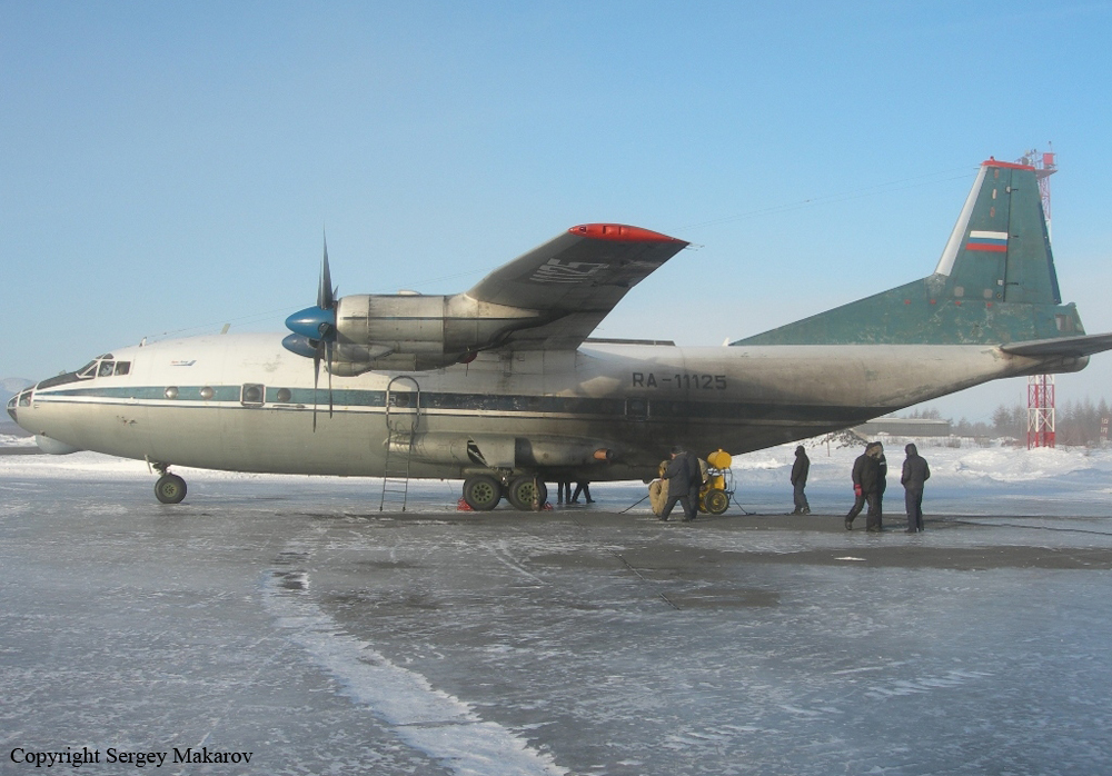
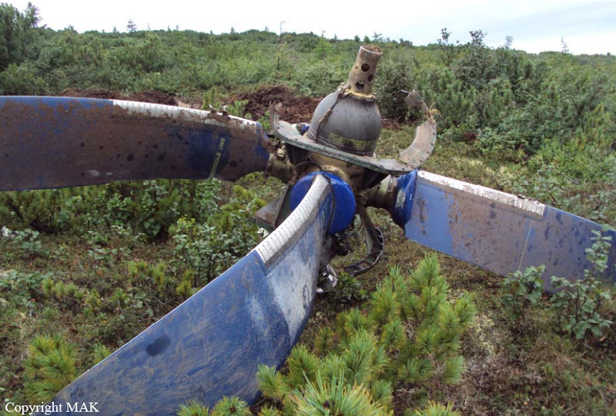
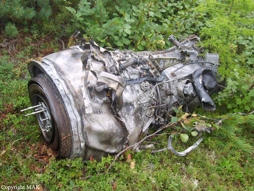
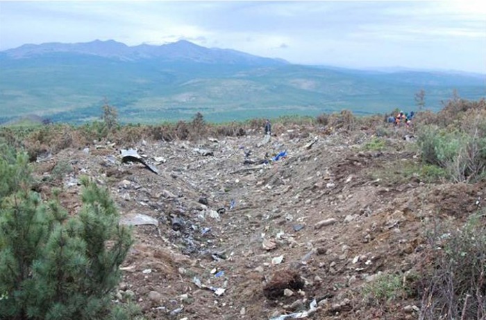
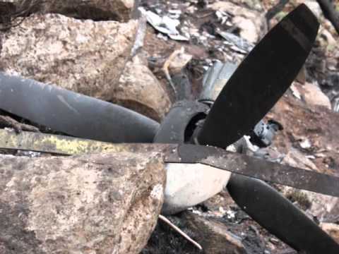
The four engine aircraft departed Komsomolsk-on-Amur Airport on a cargo service (flight LN9209) to Keperveyem with an intermediate stop in Magadan, carrying 17,43 tons of various goods, two passengers and a crew of nine. The aircraft departed Komsomolsk-on-Amur Airport at 1437LT. At 1520LT, while cruising at an altitude of 7,500 metres about 430 km northeast from his departure point, the crew informed ATC about a fuel leak on the engine n°1, requested a descent to 6,600 metres then the clearance to return to Komsomolsk-on-Amur. After the engine n°1 caught fire, the crew declared an emergency and started an emergency descent. Out of control, the aircraft crashed on the slope of a mountain located about 82 km southwest from Omsukchan. The aircraft disintegrated on impact and the debris were found a day later at an altitude of 1,006 metres. All 11 occupants were killed. This Antonov AN-12 was the oldest model still in commercial service in Russia.
Probable cause:
The probable causes of the crash were:
Following the inflight shut down of engine number one and feathering of the number one propeller the longitudinal (roll) control of the aircraft was lost due to load-bearing properties of the left wing and possible damage to the left hand aileron control wiring resulting in the aircraft's uncontrolled excessive roll to the left and subsequent impact with terrain. The fire started in the tail section of the #1 engine nacelle and spread forward and onto the wing. The fire was most likely fed by fuel leaking from a fuel line connection to the low pressure fuel pump at engine #1, the fuel most likely ignited due to contact with hot engine parts. Due to the disintegration of the aircraft and fire damage it was not possible to establish the location of fuel leaks and the cause with certainty. The inability of the fire suppression system to extinguish such a fire in its early stages as well as the lack of checklists/guidelines in the aircraft's flight manual for fuel leaks inside the engine nacelle contributed to the delay of more than 2 minutes to shut the engine down. The mountainous terrain underneath the aircraft, low level overcast cloud and lack of time due to continued fire did not permit the crew to select a proper site for an emergency landing.
Final Report:

Crash of a Cessna C-98A Grand Caravan near Bom Jardim da Serra: 8 killed

Date & Time: Aug 2, 2011 at 1327 LT
Type of aircraft:
Operator:
Registration:
2735
Flight Phase:
Flight Type:
Survivors:
No
Site:
Schedule:
Porto Alegre - Rio de Janeiro
MSN:
208B-2130
YOM:
2009
Country:
Crew on board:
2
Crew fatalities:
Pax on board:
6
Pax fatalities:
Other fatalities:
Total fatalities:
8
Circumstances:
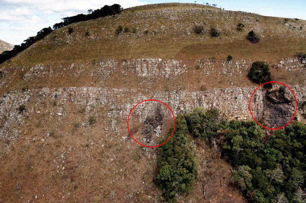
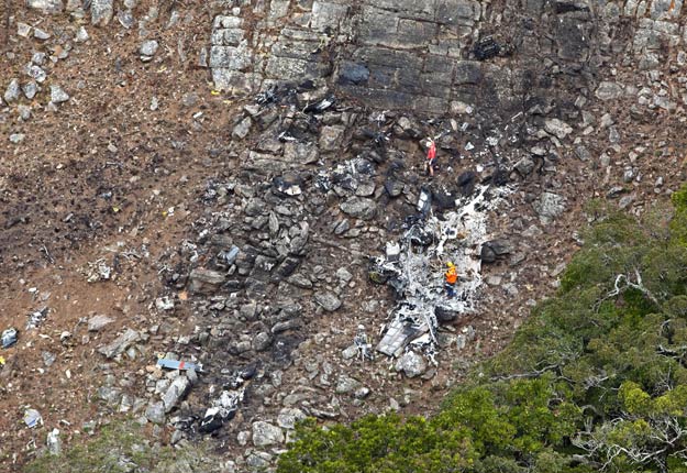
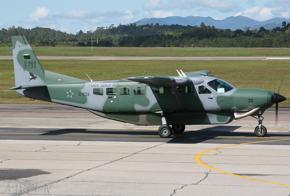
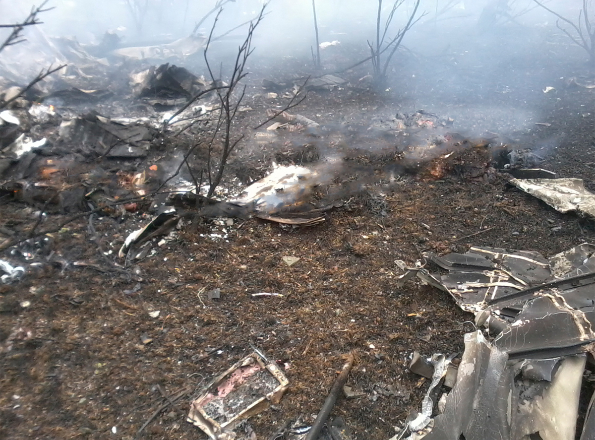
The single engine aircraft departed Canoas AFB in Porto Alegre at 1145LT on a flight to Rio de Janeiro-Galeão Airport, carrying six officers and two pilots on behalf of the 5th Air Transport Squadron. While cruising over the State of Santa Catarina, the crew encountered limited visibility due to poor weather conditions when the aircraft impacted a mountain near Bom Jardim da Serra. The aircraft disintegrated on impact and all 8 occupants were killed.