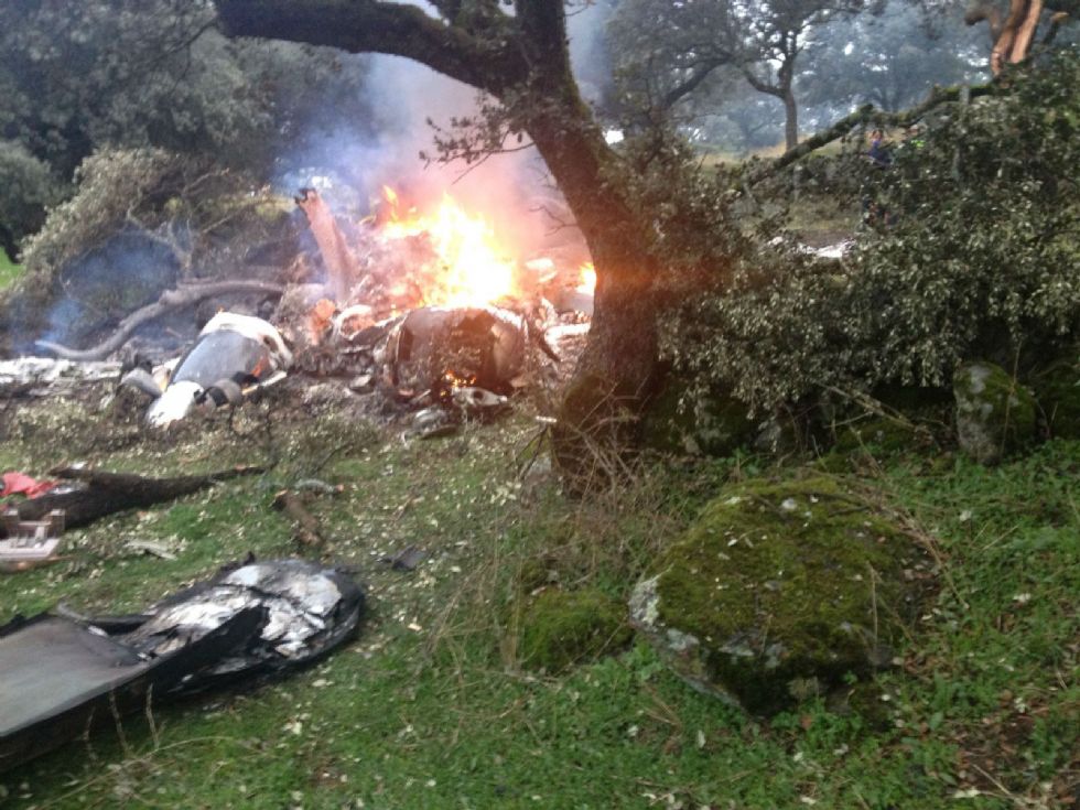
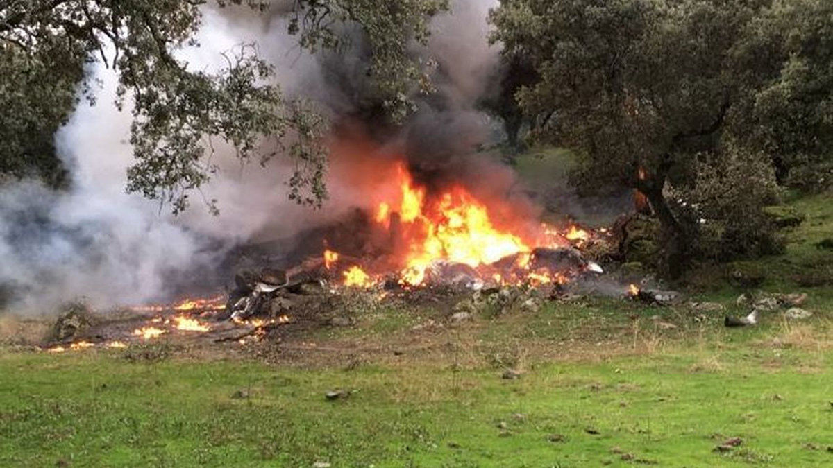
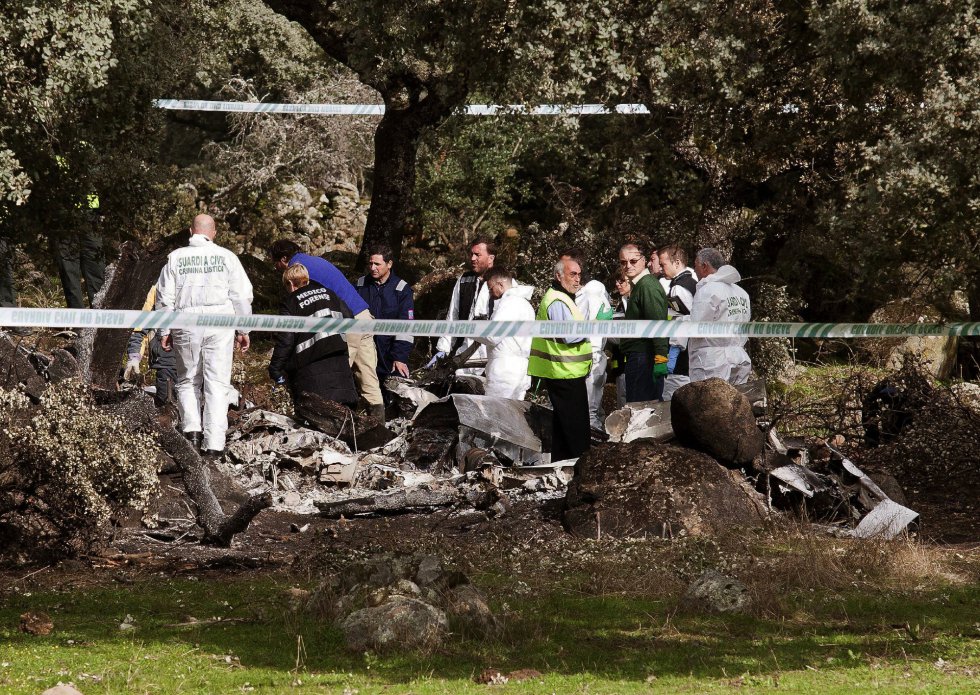
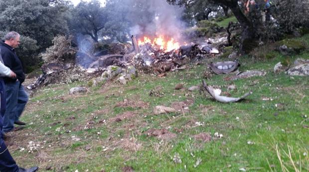
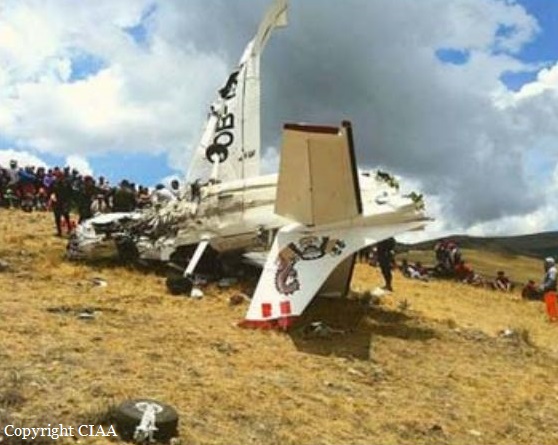
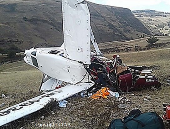
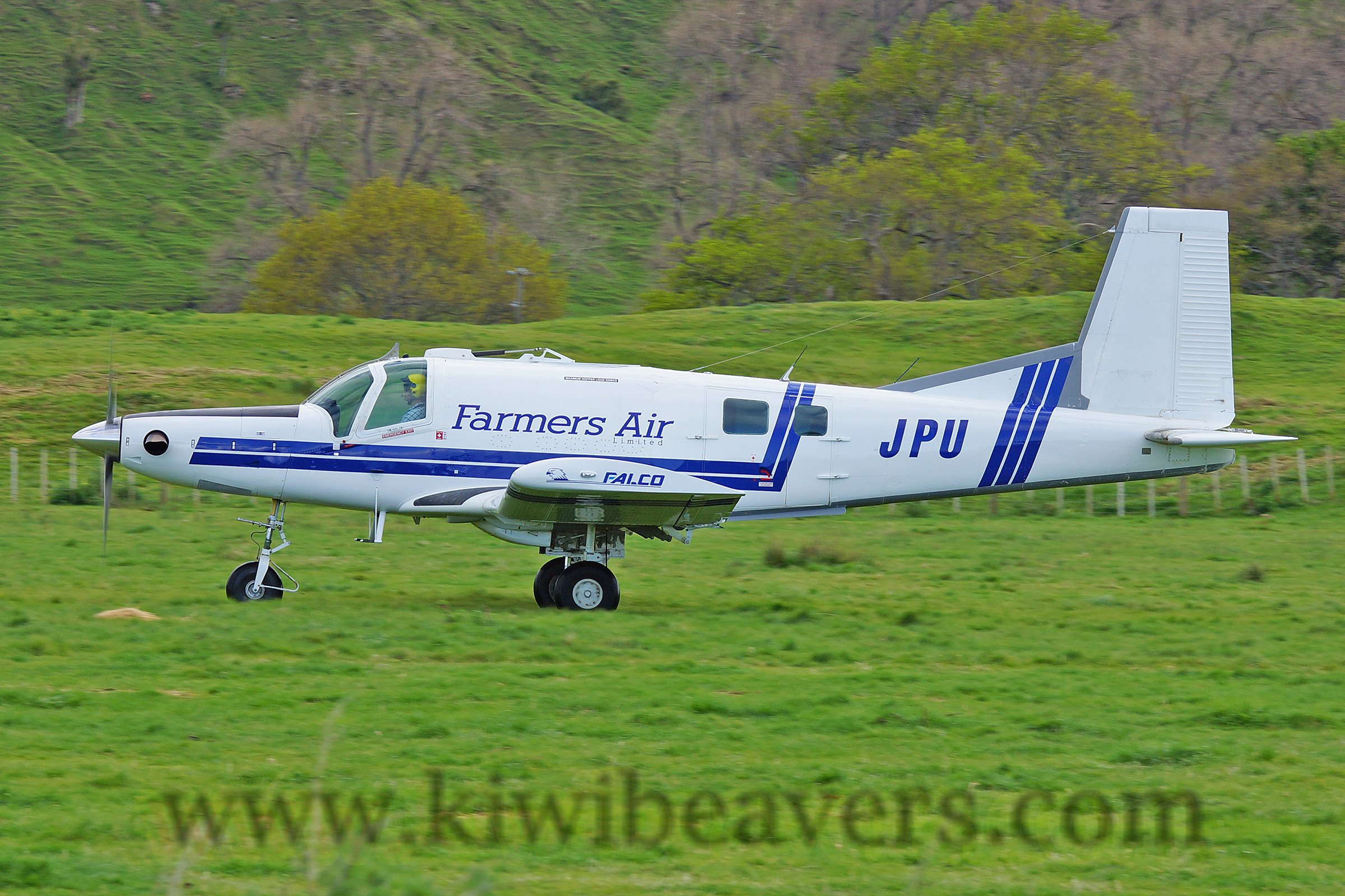
Crash of a Pacific Aerospace 750XL Falcon 3000 near Tiniroto: 2 killed

Date & Time: Dec 12, 2016 at 0857 LT
Operator:
Registration:
ZK-JPU
Flight Phase:
Flight Type:
Survivors:
No
Site:
MSN:
117
YOM:
2005
Country:
Region:
Crew on board:
1
Crew fatalities:
Pax on board:
1
Pax fatalities:
Other fatalities:
Total fatalities:
2
Captain / Total flying hours:
8518
Captain / Total hours on type:
3210.00
Aircraft flight hours:
8028
Circumstances:
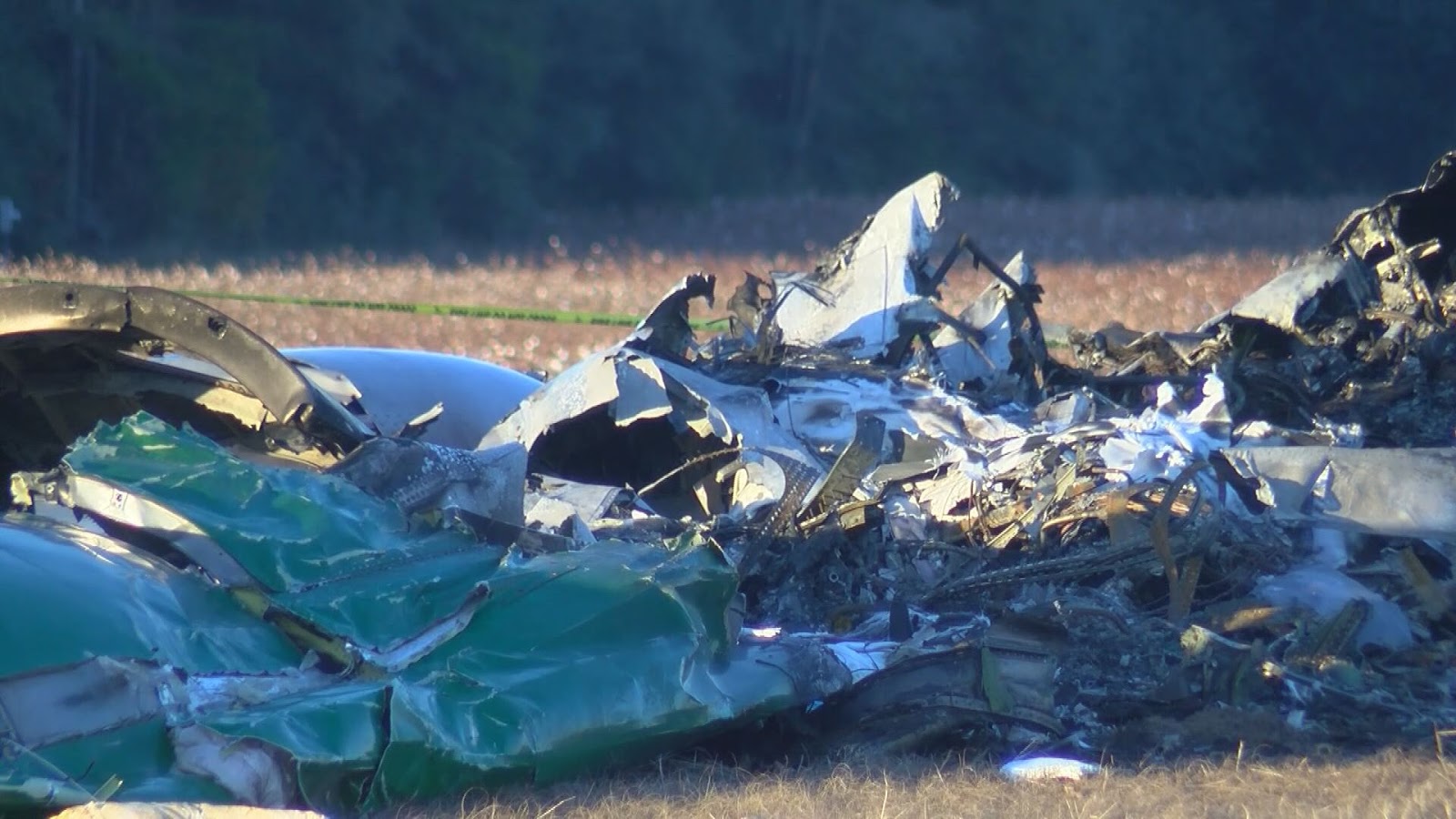
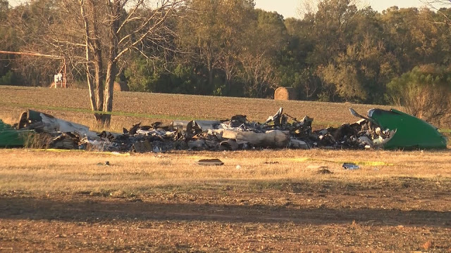
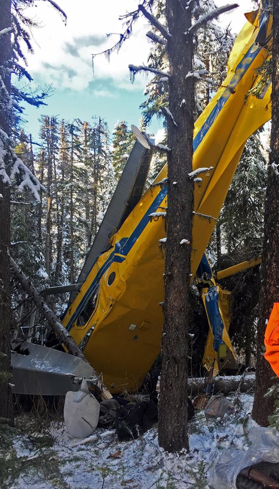
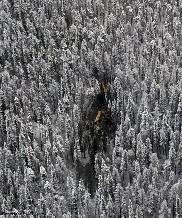
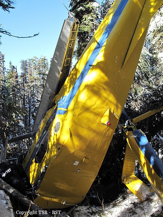
At approximately 0500 hrs, 12 December 2016, the pilot of ZK-JPU, arrived at Gisborne Aerodrome. The pilot was accompanied by the operator’s recently employed (trainee) loader driver and already at the hangar was a senior loader driver. The pilot conducted the preflight checks of the aircraft for the day’s agricultural aircraft operations. Earlier that morning the Managing Director of the operator had called the pilot of ZK-JPU. The Managing Director requested that after finishing the first aerial topdressing task at Tauwharetoi Station and prior to the next planned task at Waimaha Station, the pilot complete a task at Pembroke Station. This was because the Managing Director was unwell and unable to undertake the Pembroke Station task as planned. The pilot of ZK-JPU agreed to the additional task. The original work plan for the day was for both loader drivers to attend the first task at Tauwharetoi Station, with the senior loader driver providing oversight for the trainee loader driver. The pilot and the senior loader driver were then to proceed to the second task of the day, while the trainee loader driver was scheduled to return to the aerodrome with the loader truck from the first task. The expectation was for the pilot to go straight from the Tauwharetoi Station task to the Pembroke Station task and then proceed to Waimaha Station. ZK-JPU departed Gisborne Aerodrome at approximately 0515 hrs with the pilot and both loader drivers on board. The aircraft was to operate from a nearby private airstrip where the loader truck was already located, as the task had been commenced the previous week. The aircraft landed at the airstrip at approximately 0530 hrs and the pilot assisted the senior loader driver to get the truck ready, double-checking the calibration of the weigh scales and fuel drain, before commencing the task at approximately 0600 hrs. On the day of the accident another pilot from the same operator, who was operating a similar Pacific Aerospace Ltd 750XL, ZK-XLA, was aerial topdressing an area of Bushy Knoll Station, operating off the Tongataha airstrip. Bushy Knoll Station is to the north of Tauwharetoi Station, alongside the route to the next two tasks scheduled for ZK-JPU at Pembroke and Waimaha Stations. The pilot of ZK-XLA commenced operating at approximately 0555 hrs and completed two to three loads before hearing the pilot of ZK-JPU over the radio at approximately 0615 hrs. The brief conversation that followed consisted of an exchange of greetings and description of locations and intentions. Both pilots then continued with their tasks without further direct communication. On completion of the first task the pilot of ZK-JPU landed at the private airstrip and instructed the senior loader driver to pack up the gear and head back to base. The senior loader driver refuelled the aircraft with 100 litres of fuel, packed up the gear and gave the trainee loader driver the radio which had been used to communicate with the pilot. After a 15 minute break the pilot of ZK-JPU was observed by the senior loader driver getting into the left seat of the aircraft and the trainee loader driver into the right seat. The senior loader driver observed ZK-JPU take off, and then departed the airstrip in the loader truck, to return to the aerodrome. At approximately 0850 the pilot of ZK-XLA received a radio call from the pilot of ZKJPU asking “are you breaking left or right?” followed by the pilot of ZK-JPU stating “I am to your left”. ZK-JPU was then observed by the pilot of ZK-XLA flying behind and to the left of ZK-XLA. The pilot of ZK-XLA advised the pilot of ZK-JPU that he was “sowing the boundary of Bushy Knoll Station […] finishing my run and […] turning right to head back to the airstrip”. Spanning the valley near the boundary of Bushy Knoll Station, near to where the pilot of ZK-XLA was operating were a set of 110 kV high voltage power lines (consisting of six wires termed ‘conductors’, supported by towers). These conductors comprised the two circuits supplying electricity to Gisborne and the East Coast region. The span traverses the valley approximately east-west and the height above terrain at the mid-span of the bottom two conductors (the lowest point of the span) was approximately 200 ft. At 0857 hrs the power supply to Gisborne and the East Coast was interrupted. Finishing the topdressing run, the pilot of ZK-XLA commenced a right climbing turn in order to return to the airstrip and sighted ZK-JPU over his right shoulder. At this point the pilot of ZK-XLA noted that something was trailing from the left wing of ZKJPU. Realising that the item trailing from ZK-JPU’s wing was a wire, the pilot of ZKXLA transmitted “you are trailing wire’’, however no response was received from ZK-JPU. The pilot of ZK-XLA witnessed ZK-JPU continue down the valley, slowly rolling to the left before impacting terrain, approximately 700 m further to the south. A postimpact fire ensued with the pilot of ZK-XLA observing “a lot of black smoke”. The pilot of ZK-XLA immediately commenced circling the accident site and attempted to call the operator via cellphone. Unable to make contact the pilot activated the emergency communications facility on the flight following equipment installed in the aircraft and reported the accident to Gisborne Tower. The accident occurred in daylight at 0857 hrs, approximately 24 NM W of Gisborne Aerodrome, at Latitude: S 38° 44' 30.85" Longitude: E 177° 28' 37.41".
Probable cause:
Conclusions
3.1 The aircraft struck six 110 kV high voltage power lines.
3.2 The pilot likely experienced inattentional blindness, in that the pilot’s attention was likely engaged on the other aircraft and thus the pilot failed to perceive the visual stimuli.
3.3 The pilot was appropriately rated and licensed to conduct the flight.
3.4 Research has shown that striking a wire that the pilot was aware of usually occurred because something changed, such as a last minute change of plan.
3.5 The pilot elected to change the plan at the last minute and detour during the positioning flight to an area where a pilot from the same operator was also conducting aerial topdressing.
3.6 The pilot did not conduct a hazard briefing for the area about to be flown and thus did not afford himself the most accurate and well informed mental model of the area the pilot elected to operate in.
3.7 Several human factors likely influenced the pilot’s decision-making and risk perception leading to the decision to change the original plan and deviate from the minimum heights as stipulated by CAR 91.311 and operators SOPs.
3.8 The safety investigation did not identify any mechanical defects which may have contributed to the accident.
3.9 The accident was not survivable.
Final Report:
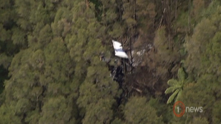
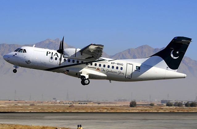
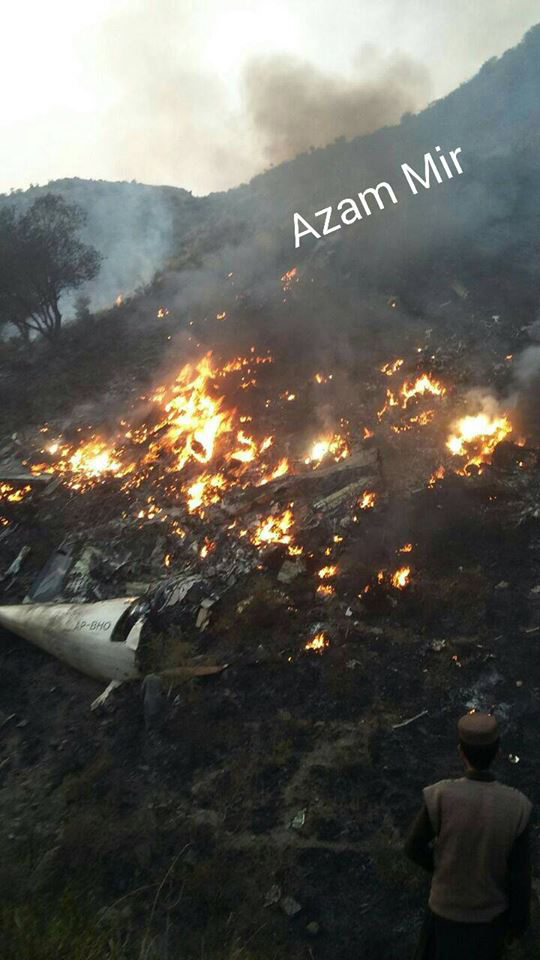
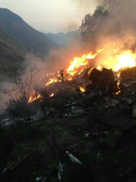
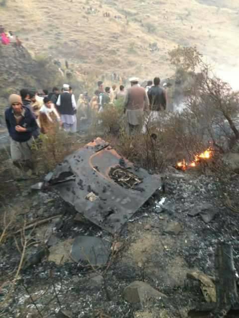
Crash of an ATR42-500 near Havelian: 47 killed

Date & Time: Dec 7, 2016 at 1620 LT
Type of aircraft:
Operator:
Registration:
AP-BHO
Flight Phase:
Survivors:
No
Site:
Schedule:
Chitral – Islamabad
MSN:
663
YOM:
2007
Flight number:
PK661
Country:
Region:
Crew on board:
5
Crew fatalities:
Pax on board:
42
Pax fatalities:
Other fatalities:
Total fatalities:
47
Captain / Total flying hours:
11265
Captain / Total hours on type:
1216.00
Copilot / Total flying hours:
570
Copilot / Total hours on type:
369
Aircraft flight hours:
18739
Circumstances:
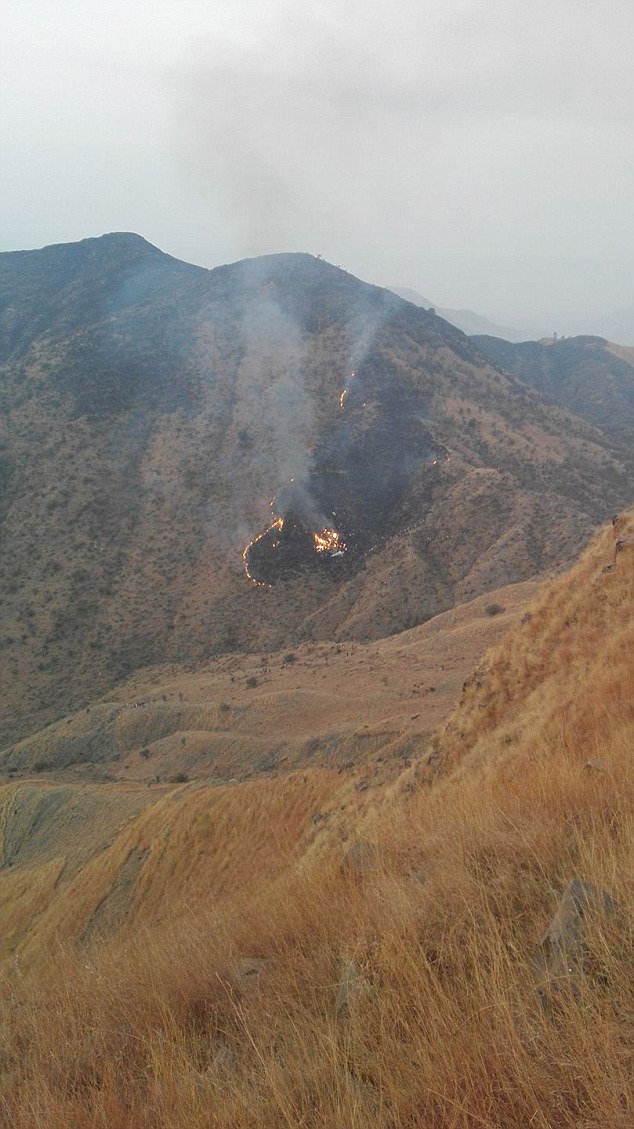
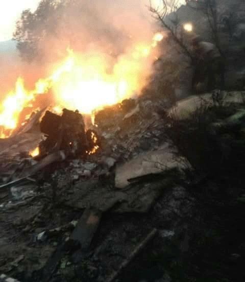
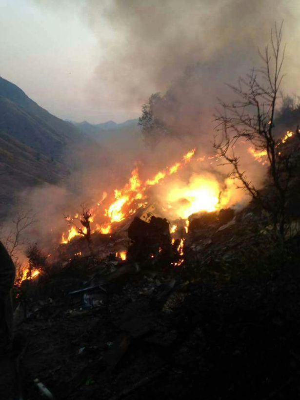
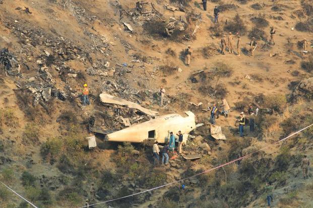
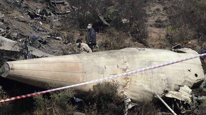
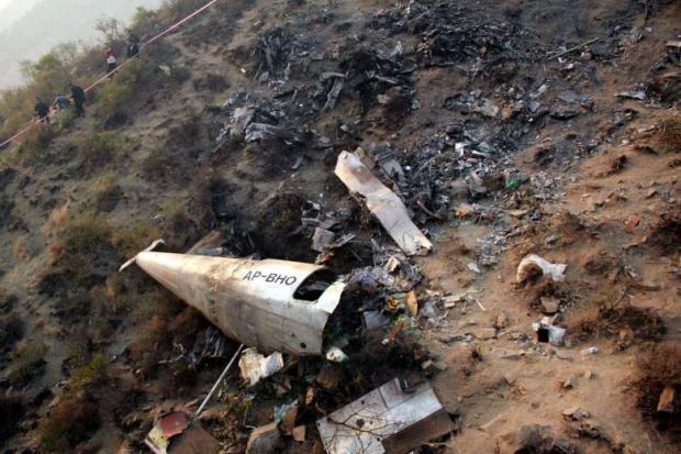
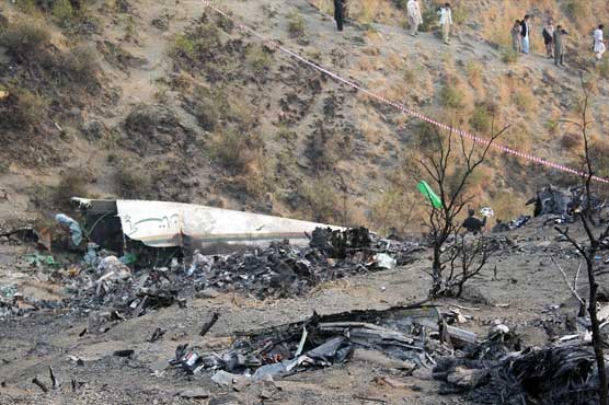
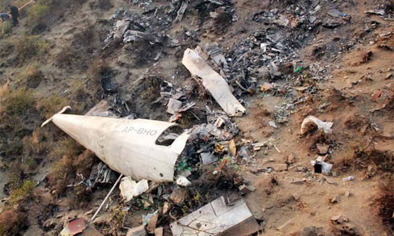
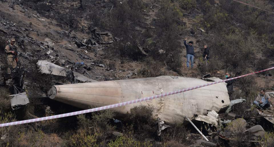
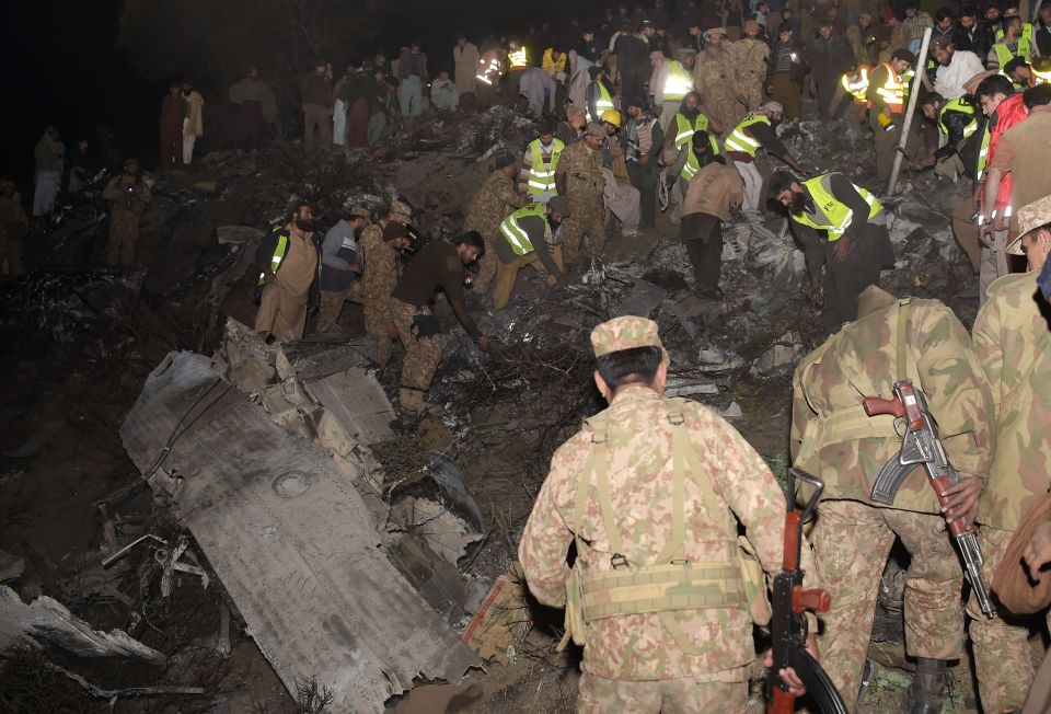
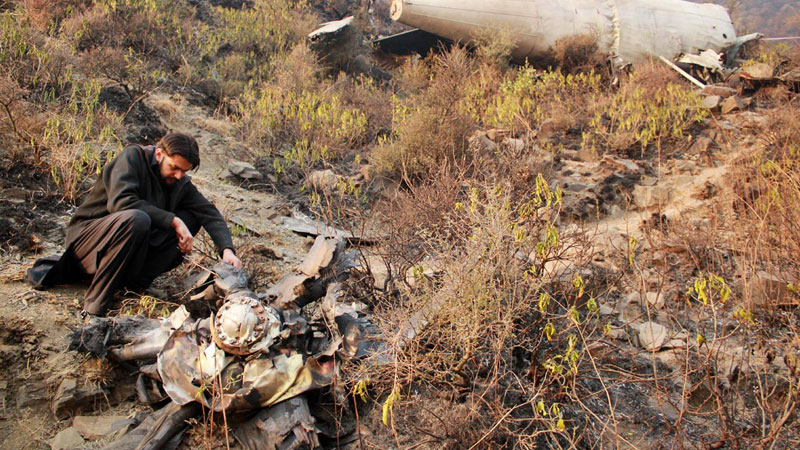
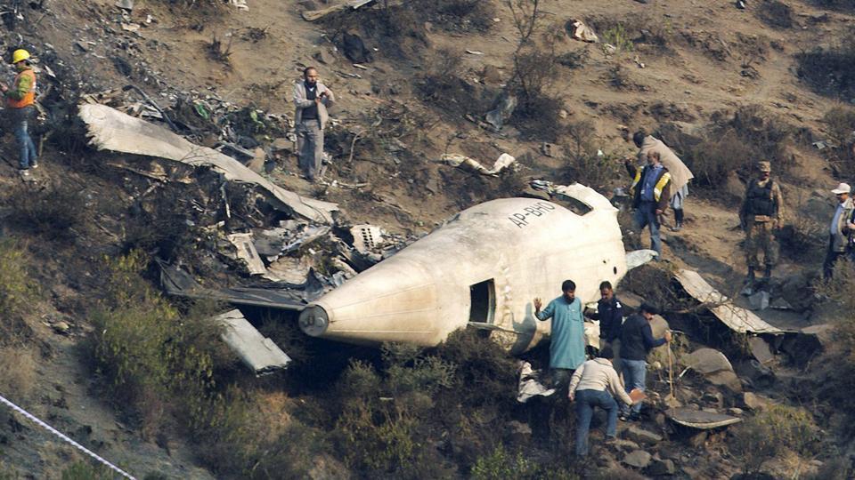
On 07 December 2016 morning, after a routine daily inspection at Benazir Bhutto International Airport (BBIAP) Islamabad, Pakistan International Airlines (PIA) aircraft ATR42-500 Reg No AP-BHO operated 05 flights (ie Islamabad to Gilgit and back, Islamabad to Chitral, Chitral to Peshawar and back). As 6th and last flight of that day, it took off from Chitral at time 10:38:50 UTC (15:38:50 PST) with 42 passengers (including 01 engineer) and 05 crew members (03 pilots and 02 cabin crew) aboard for Islamabad. It crashed after 42 minutes of flight at 11:20:38 UTC (16:20:38 PST) about 3.5 Nautical Miles (NM) SSE of Havelian, and 24 NM North of BBIAP Islamabad. All 47 souls aboard were fatally injured. The aircraft remained in air for about 42 minutes before crash (all timings in UTC). These 42 minutes have been split into three stages of flight, described hereunder:

(a) Initial Stage: From 10:38 to 11:04 (~26 minutes) degraded speed governing accuracy of the port propeller was evident in the DFDR data, but was apparently not observed by the cockpit crew. The flight stabilized at an altitude 13,500 feet AMSL and a cruising speed of 186 knots IAS (instead of expected 230 knots IAS). There were two latent pre-existing technical anomalies in the aircraft (a Fractured / dislodged PT-1 blade due to a known quality issue and a fractured pin inside the OSG), and one probable latent pre-existing condition (external contamination) inside the PVM of No 1 Engine. Digital Flight Data Recorder (DFDR) analysis indicates that No 1 Engine was degraded.

(b) Middle Stage (Series of Technical Malfunctions): From 11:04 to 11:13 (~09 minutes), a series of warnings and technical malfunctions occurred to No 1 Engine (left side) and its related propeller control system. These included Propeller Electronic Control (PEC) fault indications, followed by No 1 Engine power loss, and uncontrolled variation of its propeller speed / blade pitch angle abnormal system operation). The propeller speed which was initially at 82% (cruise setting) decreased gradually to 62% and later at the time of engine power loss it increased to 102% (and stayed at that value for about 15 to 18 seconds). It then reduced down to Non Computed Data (NCD) as per DFDR. At this point, (based on simulation results) the blade pitch angle increased (possibly close to feather position). Later, the propeller speed increased to 120% to 125% (probably caused due to unusual technical malfunctions) and stayed around that value for about 40 to 45 seconds. It finally showed an abrupt drop down to NCD again. At this point, (based on simulation results) the blade pitch angle may have settled at a value, different from the expected feathered propeller. During this unusual variation of propeller speed, there were drastic variations in the aircraft aerodynamic behaviour and sounds. The directional control was maintained initially by the Auto-Pilot. A relatively delayed advancement of power (of No 2 Engine) post No 1 Engine power loss, reduction of power (of No 2 Engine) for about 15 seconds during the timeframe when left propeller rpm was in the range of 120% to 125%, and once again a reduction of power towards the end of this part of flight, were incorrect pilot actions, and contributed in the IAS depletion. Auto-Pilot got disengaged. Towards the end of this part of flight, the aircraft was flying close to stall condition. No 1 Engine was already shutdown and No 2 Engine (right side) was operating normal. At this time, IAS was around 120 knots; aircraft started to roll / turn left and descend. Stick shaker and stick pusher activated. Calculated drag on the left side of the aircraft peaked when the recorded propeller speed was in the range of 120% to 125%. During transition of propeller speed to NCD, the additional component of the drag (possibly caused due to abnormal behaviour of left propeller) suddenly reduced. The advancement of power of No 2 Engine was coupled with excessive right rudder input (to counter the asymmetric condition). This coincided with last abrupt drop in the propeller speed. As a combined effect of resultant aerodynamic forces aircraft entered into a stalled / uncontrolled flight condition, went inverted and lost 5,100 feet AMSL altitude (ie from ~13,450 feet to 8,350 feet AMSL).

(c) Final Stage: The final stage of flight from 11:13 to 11:20 (~07 minutes) started with the aircraft recovering from the uncontrolled flight. Although blade pitch position was not recorded (in the DFDR – by design), and it was not possible to directly calculate that from the available data, a complex series of simulations and assumptions estimated that the blade pitch of left propeller may have settled at an angle around low pitch in flight while rotating at an estimated speed of 5%. Aircraft simulations indicated that stable additional drag forces were present on the left side of the aircraft at this time and during the remaining part of flight. Aircraft had an unexpected (high) drag from the left side (almost constant in this last phase); the aircraft behavior was different from that of a typical single engine In Flight Shutdown (IFSD) situation. In this degraded condition it was not possible for the aircraft to maintain a level flight. However, that level of drag did not preclude the lateral control of the aircraft, if a controlled descent was initiated. The aircraft performance was outside the identified performance envelope. It was exceptionally difficult for the pilots to understand the situation and hence possibly control the aircraft. Figure hereunder shows different stages of flight.
Probable cause:
The following factors were reported:
Probable Primary Factors:
(a) The dislodging / fracture of one PT-1 blade of No 1 Engine triggered a chain of events. Unusual combination of fractured / dislodged PT-1 blade with two latent factors caused off design performance of the aircraft and resulted into the accident.
(b) The dislodging / fracture of PT-1 blade of No 1 Engine occurred after omission from the EMM (Non-Compliance of SB-21878) by PIA Engineering during an unscheduled maintenance performed on the engine in November 2016, in which the PT-1 blades had fulfilled the criteria for replacement, but were not replaced.
(c) Fracture / dislodging of PT-1 blade in No 1 Engine, after accumulating a flying time slightly more than the soft life of 10,000 hrs (ie at about 10004.1 + 93 hrs) due to a known quality issue. This aspect has already been addressed by re-designing of PT-1 blades by P&WC.
Probable Contributory Factors:
(a) A fractured pin (and contamination inside the OSG), contributed to a complex combination of technical malfunctions. The pin fractured because of improper re-assembly during some unauthorized / un-documented maintenance activity. It was not possible to ascertain exact time and place when and where this improper re-assembly may have occurred.
(b) Contamination / debris found in overspeed line of PVM of No 1 Engine probably introduced when the propeller system LRU"s were not installed on the gearbox, contributed to un-feathering of the propeller. It was not possible to ascertain exact time and place when and where this contamination was introduced.
Final Report:
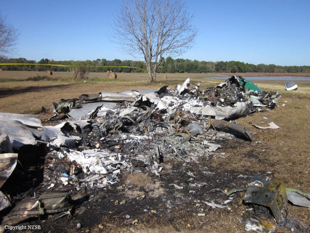
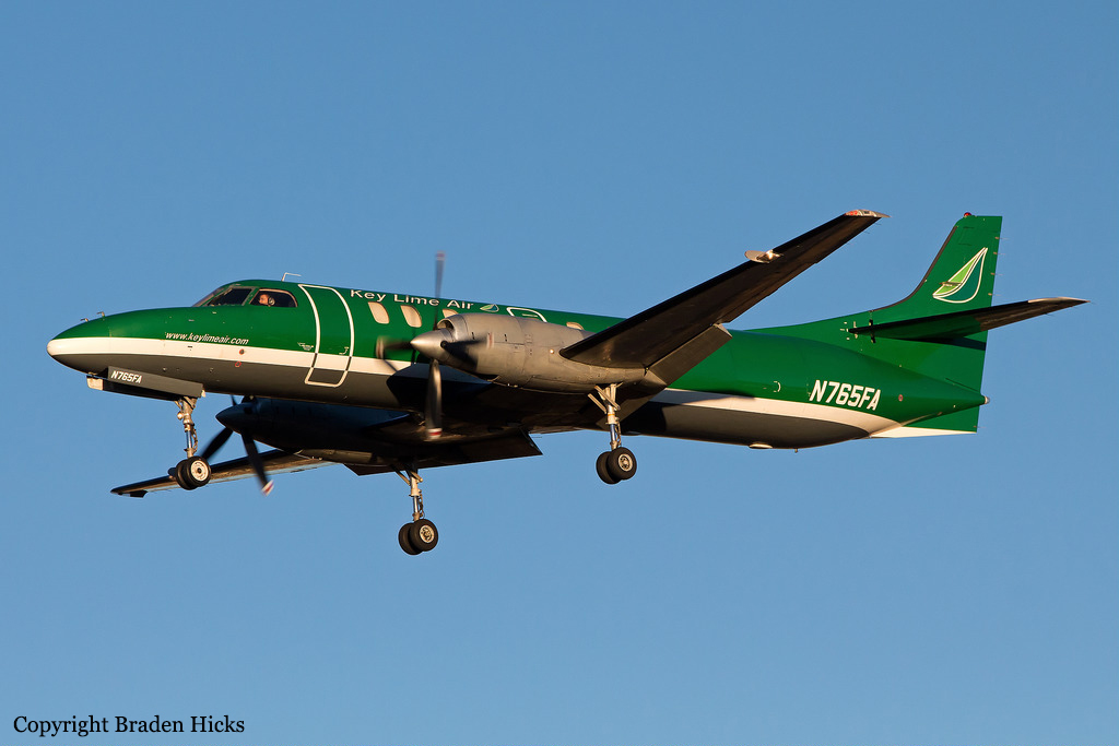
Crash of a Swearingen SA227AC Metro III in Camilla: 1 killed

Date & Time: Dec 5, 2016 at 2222 LT
Type of aircraft:
Operator:
Registration:
N765FA
Flight Phase:
Flight Type:
Survivors:
No
Schedule:
Panama City – Albany
MSN:
AC-765
YOM:
1990
Flight number:
LYM308
Location:
Crew on board:
1
Crew fatalities:
Pax on board:
0
Pax fatalities:
Other fatalities:
Total fatalities:
1
Captain / Total flying hours:
8451
Captain / Total hours on type:
4670.00
Aircraft flight hours:
24233
Circumstances:
The airline transport pilot delayed his scheduled departure for the night cargo flight due to thunderstorms along the route. Before departing, the pilot explained to the flight follower assigned to the flight that if he could not get though the thunderstorms along the planned route, he would divert to the alternate airport. While en route, the pilot was advised by the air traffic controller in contact with the flight of a "ragged line of moderate, heavy, and extreme" precipitation along his planned route. The controller also stated that he did not see any breaks in the weather. The controller cleared the pilot to descend at his discretion from 7,000 ft mean sea level (msl) to 3,000 ft msl, and subsequently, the controller suggested a diversion to the northeast for about 70 nautical miles that would avoid the most severe weather. The pilot responded that he had enough fuel for such a diversion but concluded that he would "see what the radar is painting" after descending to 3,000 ft msl. About 1 minute 30 seconds later, as the airplane was descending through 7,000 ft msl, the controller stated, "I just lost you on radar, I don't show a transponder, it might have to do with the weather." About 40 seconds later, the pilot advised the controller that he intended to deviate to the right of course, and the controller told the pilot that he could turn left and right as needed. Shortly thereafter, the pilot stated that he was going to turn around and proceed to his alternate airport. The controller cleared the pilot direct to his alternate and instructed him to maintain 3,000 ft msl. The pilot acknowledged the instruction, and the controller then stated, "do you want to climb back up? I can offer you any altitude." The pilot responded that he would try to climb back to 3,000 ft msl. The controller then recommended a heading of 180° to "get you clear of the weather quicker," and the pilot responded, "alright 180." There were no further communications from the pilot. Shortly thereafter, radar data showed the airplane enter a right turn that continued through about 540°. During the turn its airspeed varied between 198 and 130 knots, while its estimated bank angles were between 40 and 50°. Examination of the wreckage indicated that airplane experienced an in-flight breakup at relatively low altitude, consistent with radar data that showed the airplane's last recorded altitudes to be around 3,500 ft msl. The symmetrical nature of the breakup, damage to the outboard wings, and damage to the upper fuselage were all signatures indicative that the left and right wings failed in positive overload almost simultaneously. All of the fracture surfaces examined had a dull, grainy appearance consistent with overstress separation. There was no evidence of pre-existing cracking noted at any of the separation points, nor was there evidence of any mechanical anomalies that would have prevented normal operation. Review of base reflectivity weather radar data showed that, while the pilot was maneuvering to divert to the alternate airport, the airplane was operating in an area of light precipitation that rapidly intensified to heavy precipitation, as shown by radar scans completed shortly after the accident. During this time, the flight was likely operating in clouds along the leading edge of the convective line, where the pilot most likely would have encountered updrafts and severe or greater turbulence. The low visibility conditions that existed during the flight, which was conducted at night and in instrument meteorological conditions, coupled with the turbulence the flight likely encountered, were conducive to the development of spatial disorientation. Additionally, the airplane's maneuvering during the final moments of the flight was consistent with a loss of control due to spatial disorientation. The pilot's continued flight into known convective weather conditions and his delayed decision to divert the flight directly contributed to the accident. Although the operator had a system safety-based program, the responsibility for the safe outcome of the flight was left solely to the pilot. Written company policy required completion of a flight risk assessment tool (FRAT) before each flight by the assigned flight follower; however, a FRAT was not completed for the accident flight. The flight followers responsible for completing the FRATs were not trained to complete them for night cargo flights, and the operator's management was not aware that the FRATs were not being completed for night cargo flights. Further, if a FRAT had been completed for the accident flight, the resultant score would have allowed the flight to commence into known hazardous weather conditions without any further review. If greater oversight had been provided by the operator, it is possible that the flight may have been cancelled or re-routed due to the severity of the convective weather conditions present along the planned route of flight.
Probable cause:
The pilot's decision to initiate and continue the flight into known adverse weather conditions, which resulted spatial disorientation, a loss of airplane control, and a subsequent in-flight breakup.
Final Report:
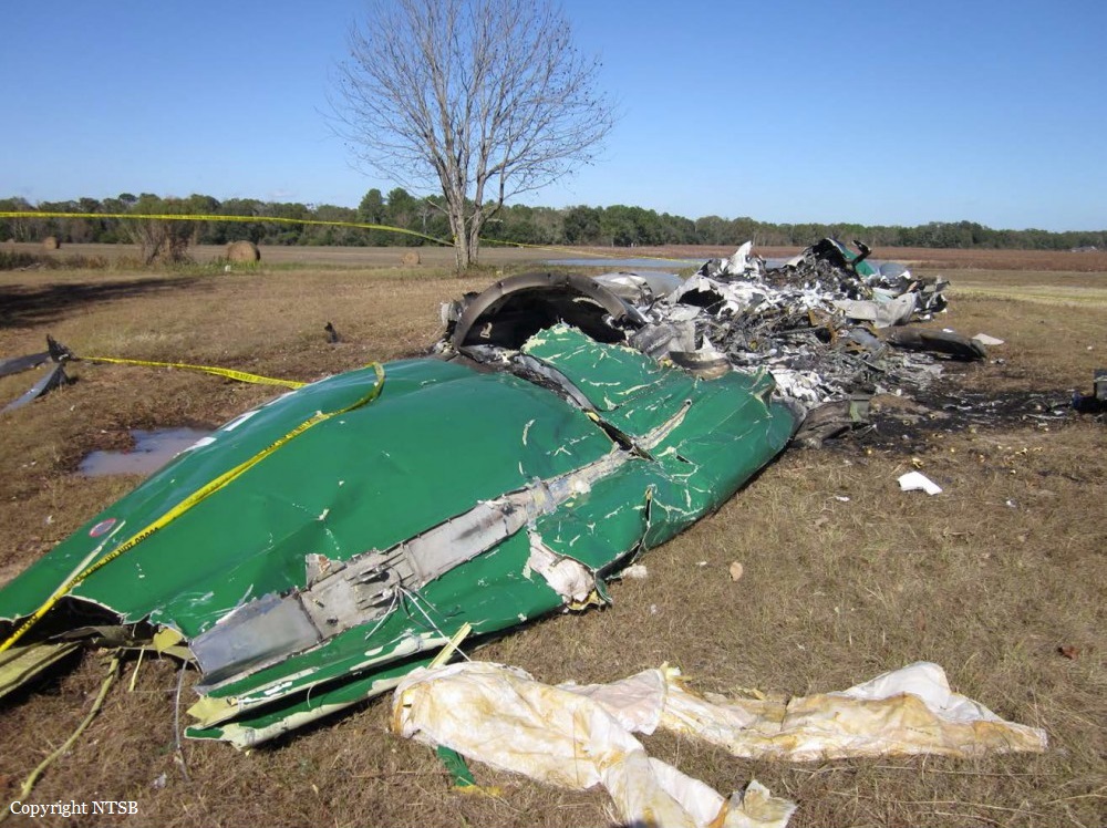
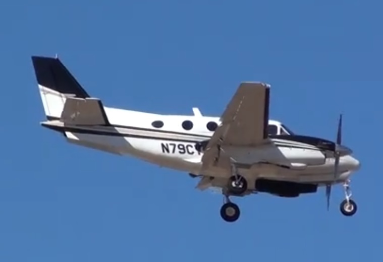
Crash of a Beechcraft E90 King Air in Sotillo de las Palomas: 4 killed

Date & Time: Dec 4, 2016 at 1617 LT
Type of aircraft:
Registration:
N79CT
Flight Phase:
Flight Type:
Survivors:
No
Schedule:
Madrid – Cascais
MSN:
LW-303
YOM:
1979
Country:
Region:
Crew on board:
1
Crew fatalities:
Pax on board:
3
Pax fatalities:
Other fatalities:
Total fatalities:
4
Circumstances:
The twin engine aircraft departed Madrid-Cuatro Vientos Airport on a private flight to Cascais, Portugal, carrying three passengers and one pilot. One of the reasons for the flight was to repair the weather radar at a Portuguese maintenance center that specialized in this equipment. The pilot had to delay the takeoff until 1557LT due to bad weather conditions. The aerodrome of Cuatros Vietnos was in instrument conditions (IMC), which forced its closing from 0900LT until 1444LT. At 1615LT, the aircraft was en route, climbing from flight level 190 to its authorized cruise level of 210. Moments later, according to a detailed analysis of the data taken from the radar, there was a yaw to the left, and the aircraft started to turn in this direction and suddenly lose altitude. After this event, the airspeed fell quickly and gradually until the aircraft stalled. The aircraft went into a spin, which after some time turned into a flat spin. As the airplane descended out of control, and with the spin fully developped, loads were placed on the horizontal tail that exceeded the design loads, causing the tail to break up in flight into five parts before the aircraft impacted the ground. The aircraft was completely destroyed by the impact and sibsequent fire, and its four occupants were killed in the accident.
Probable cause:
The investigation has concluded that this accident was caused by the loss of control of the aircraft in flight due to a stall and subsequent spin. Due to the high degree of destruction of the aircraft's wreckage after the ground impact and subsequent fire, and the lack of other pertinent data to do so, it has not been possible to determine with precision the sequence of the process leading to the aircraft stall/spin.
The investigation identified the following contributing factors:
- The decision to make the flight with adverse meteorological conditions (IMC) along the planned route, considering the fact that the weather radar was not operational.
- The forecast of moderate to strong icing conditions in areas of the route (presence of cumulonimbus with caps of up to 35,000 feet and with temperatures between -17°C and -19°C at flight level FL180) suggests that the formation of ice or its accumulation on the aircraft has been a significant contributory factor in this accident
- The use of the autopilot and the failure to disengage it when the emergency situation arose, as it is concluded from the detailed analysis of the radar data, could have contributed significantly to the process that resulted in the loss of control of the aircraft.
- The inadequate training of the pilot (who lacked the type rating for the accident aircraft) in abnormal or emergency situations on the accident aircraft.
Final Report:
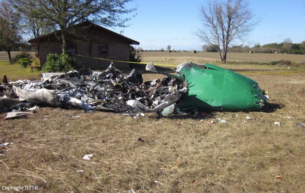
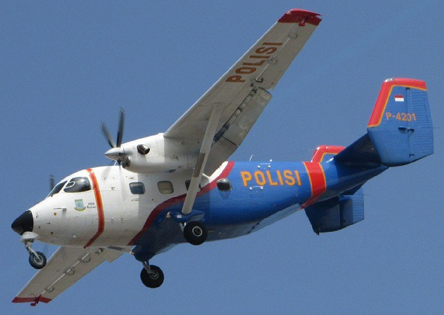
Crash of a PZL-Mielec M28 Skytruck off Tanjung Pinang: 13 killed

Date & Time: Dec 3, 2016 at 1022 LT
Type of aircraft:
Operator:
Registration:
P-4201
Flight Phase:
Flight Type:
Survivors:
No
Schedule:
Pangkal Pinang – Batam
MSN:
AJE003-03
YOM:
2004
Country:
Region:
Crew on board:
5
Crew fatalities:
Pax on board:
8
Pax fatalities:
Other fatalities:
Total fatalities:
13
Circumstances:
The twin engine aircraft departed Pangkal Pinang Airport at 0924LT bound for the Hang Nadim Airport located on the Batam Island. En route, the aircraft disappeared from radar screens and crashed in the sea about 74 km southeast of Tanjun Pinang, in the Riau Islands. An hour later, around 1130LT, few debris and bodies were found by fishermen floating on water off Pulau Senayang. All 13 occupants were killed.

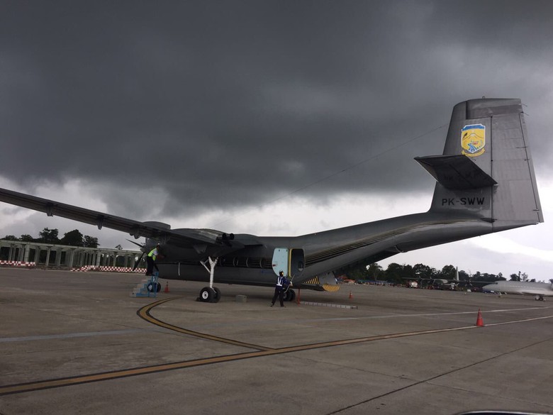
Crash of a De Havilland DHC-4T Caribou near Ilaga: 4 killed

Date & Time: Oct 31, 2016 at 0830 LT
Type of aircraft:
Registration:
PK-SWW
Flight Phase:
Flight Type:
Survivors:
No
Site:
Schedule:
Timika - Ilaga
MSN:
303
YOM:
1972
Country:
Region:
Crew on board:
4
Crew fatalities:
Pax on board:
0
Pax fatalities:
Other fatalities:
Total fatalities:
4
Captain / Total flying hours:
9336
Captain / Total hours on type:
38.00
Copilot / Total flying hours:
3636
Copilot / Total hours on type:
17
Aircraft flight hours:
2748
Aircraft flight cycles:
5953
Circumstances:
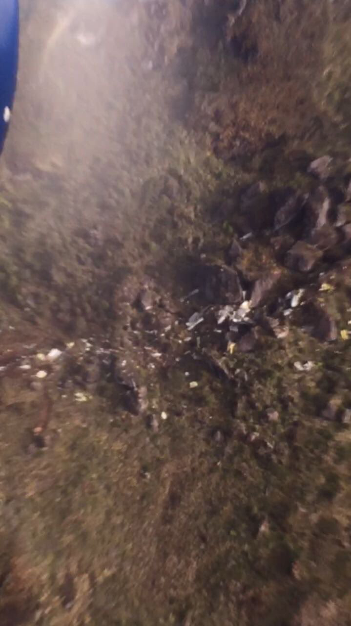
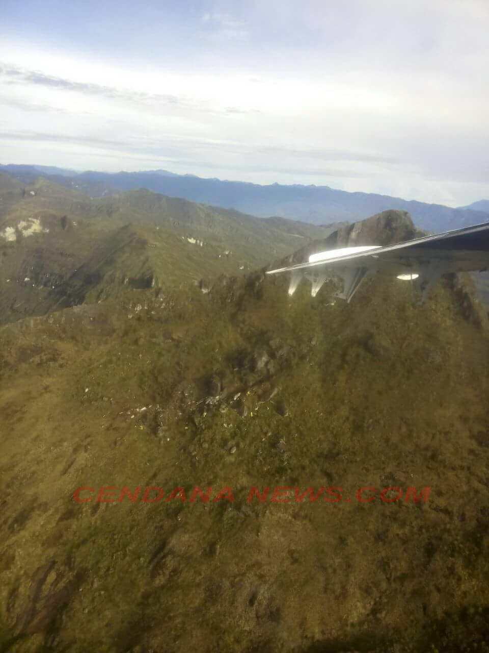
A DHC-4 Caribou aircraft, registered PK-SWW was being operated by Perkumpulan Penerbangan Alfa Indonesia, on 31 October 2016 on an unscheduled cargo flight from Moses Kilangin Airport Timika, with intended destination to Kaminggaru Aerodrome, Ilaga Papua. On board on this flight was 4 persons consisted of two pilots, one company engineer and one flight operation officer. At 2257 UTC, the aircraft departed Timika with intended cruising altitude of 12,500 feet and estimated time of arrival Ilaga at 2327 UTC. At 2323 UTC, the pilot made initial contact with Ilaga Aerodrome Flight Information Services (AFIS) officer and reported that the aircraft position was at Ilaga Pass and informed the estimate time of arrival Ilaga would be on 2327 UTC. Ilaga Aerodrome Flight Information Services (AFIS) officer advised to continue descend to circuit altitude and to report when position on downwind. At 2330 UTC, the AFIS officer called the pilot and was not replied. The AFIS officer asked pilot of another aircraft in the vicinity to contact the pilot of the DHC-4 Caribou aircraft and did not reply. At 0020 UTC, Sentani Aeronautical Information Service (AIS) officer declared the aircraft status as ALERFA. At 0022 UTC, Timika Tower controller received information from a pilot of an aircraft that Emergency Locator Transmitter (ELT) signal was detected approximately at 40 – 45 Nm with radial 060° from TMK VOR (Very High Frequency Omni Range) or approximately at coordinate 4°7’46” S; 137°38’11” E. This position was between Ilaga Pass and Jila Pass. At 0053 UTC, the aircraft declared as DETRESFA. On 1 November 2016, the aircraft wreckage was found on a ridge of mountain between Ilaga Pass and Jila Pass at coordinate 4°5’55.10” S; 137°38’47.60” E with altitude approximately of 13,000 feet. All occupants were fatally injured and the aircraft destroyed by impact force.
Probable cause:
Controlled flight into terrain.
Final Report:
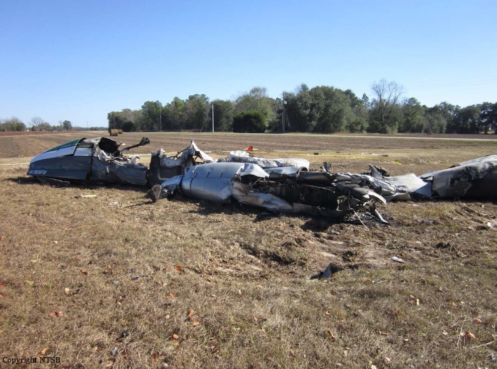
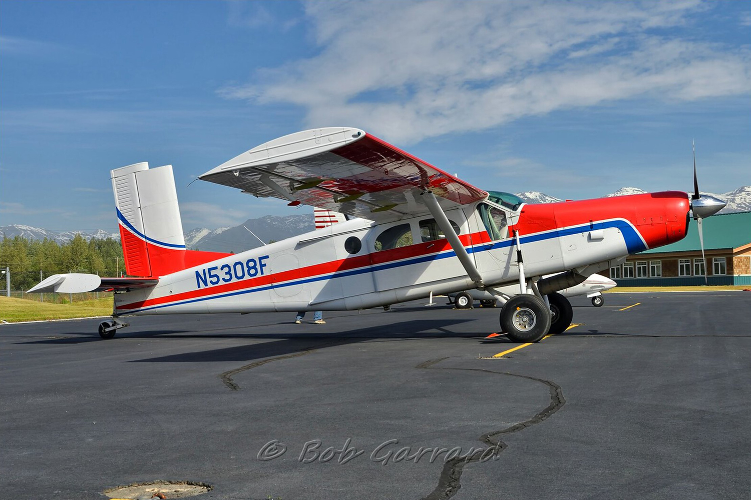
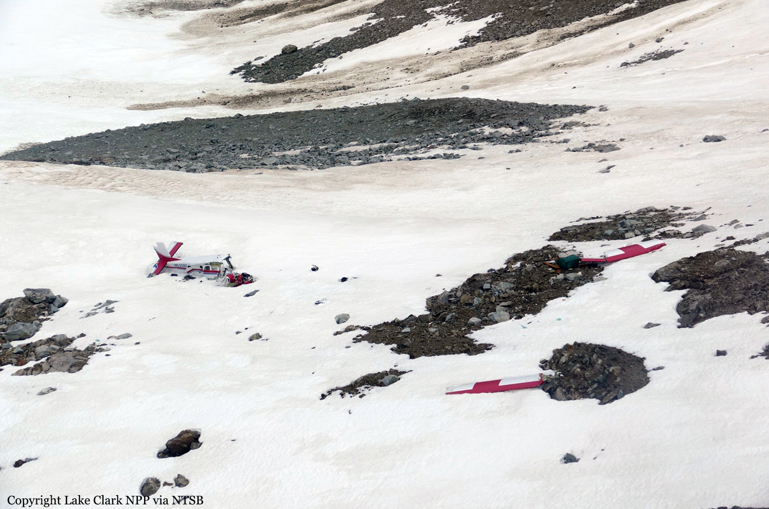
Crash of a Pilatus PC-6/C-H2 Turbo Porter near Port Alsworth: 1 killed

Date & Time: Oct 28, 2016 at 1828 LT
Operator:
Registration:
N5308F
Flight Phase:
Flight Type:
Survivors:
No
Site:
Schedule:
Anchorage – Port Alsworth
MSN:
2068
YOM:
1975
Crew on board:
1
Crew fatalities:
Pax on board:
0
Pax fatalities:
Other fatalities:
Total fatalities:
1
Captain / Total flying hours:
6400
Circumstances:
The commercial pilot was conducting a cross-country flight to a family residence in the turbinepowered, single-engine airplane. The pilot was familiar with the route, which traversed a mountain pass and remote terrain. Before departing on the flight, the pilot communicated with a family member at the residence via text messages and was aware the weather was windy but that the mountain tops were clear. There was no record of the pilot obtaining a preflight weather briefing from an official, accesscontrolled source, and the pilot indicated to a friend before departure that he had not accessed weather cameras. Weather forecast products that were available to the pilot revealed possible turbulence at low altitudes and icing at altitudes above 12,000 ft along the route of flight, and weather cameras along the planned route and near the destination would have indicated deteriorating visibility in snow showers and mountain obscuration starting about 1.5 hours before departure. The airplane departed and proceeded toward the destination; radar data correlated to the accident flight indicated that the airplane climbed from 4,600 ft to 14,700 ft before turning west over the mountains. Text messages that the pilot sent during the initial climb revealed that the mountain pass he planned to fly through was obscured, and he intended to climb over the mountains and descend through holes in the clouds as he neared the destination. Radar data also indicated that the airplane operated above 12,500 ft mean sea level (msl) for about 30 minutes, and above 14,000 msl for an additional 14 minutes before entering a gradual descent during the last approximate 20 minutes of flight. Review of weather information indicated that cloud layers over the accident area increased during the 30 minutes before the accident, and it is likely that the airplane was operating in icing conditions, although it was not certified for flight in such conditions, which may have resulted in structural or induction icing and an uncontrolled loss of altitude. The airplane wreckage came to rest on the steep face of a snow-covered mountain in a slight nose-down, level attitude. The empennage was intact, the right wing was completely separated, and the forward fuselage and cockpit were partially separated and displaced from the airframe with significant crush damage, indicative of impact with terrain during forward flight. Page 2 of 10 ANC17FA004 There was no indication that the airplane was equipped with supplemental oxygen; pilots are required to use oxygen when operating at altitudes above 12,500 ft for more than 30 minutes, and anytime at altitudes above 14,000 ft. It could not be determined if, or to what extent, the pilot may have experienced symptoms of hypoxia that would have affected his decision-making. The airplane wreckage was not recovered or examined due to hazardous terrain and environmental conditions, and the reason for the impact with terrain could not be determined; however, it is likely that deteriorating enroute weather and icing conditions contributed to the outcome of the accident.
Probable cause:
The airplane's collision with mountainous terrain while operating in an area of reduced visibility and icing conditions. Contributing to the accident was the pilot's inadequate preflight planning, which would have identified deteriorating weather conditions along the planned route of flight.
Final Report:
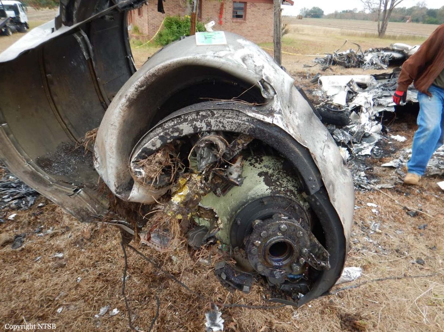
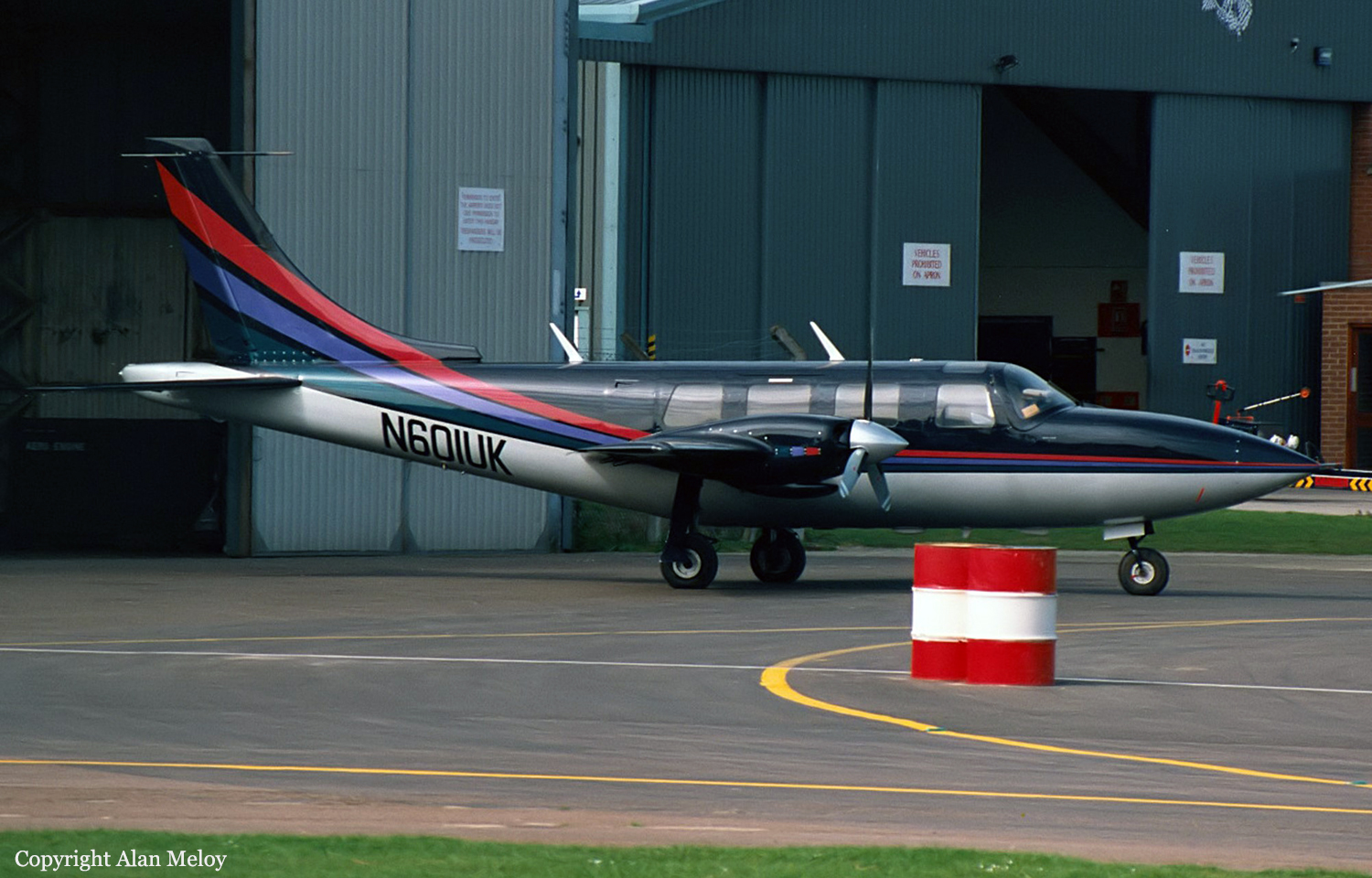
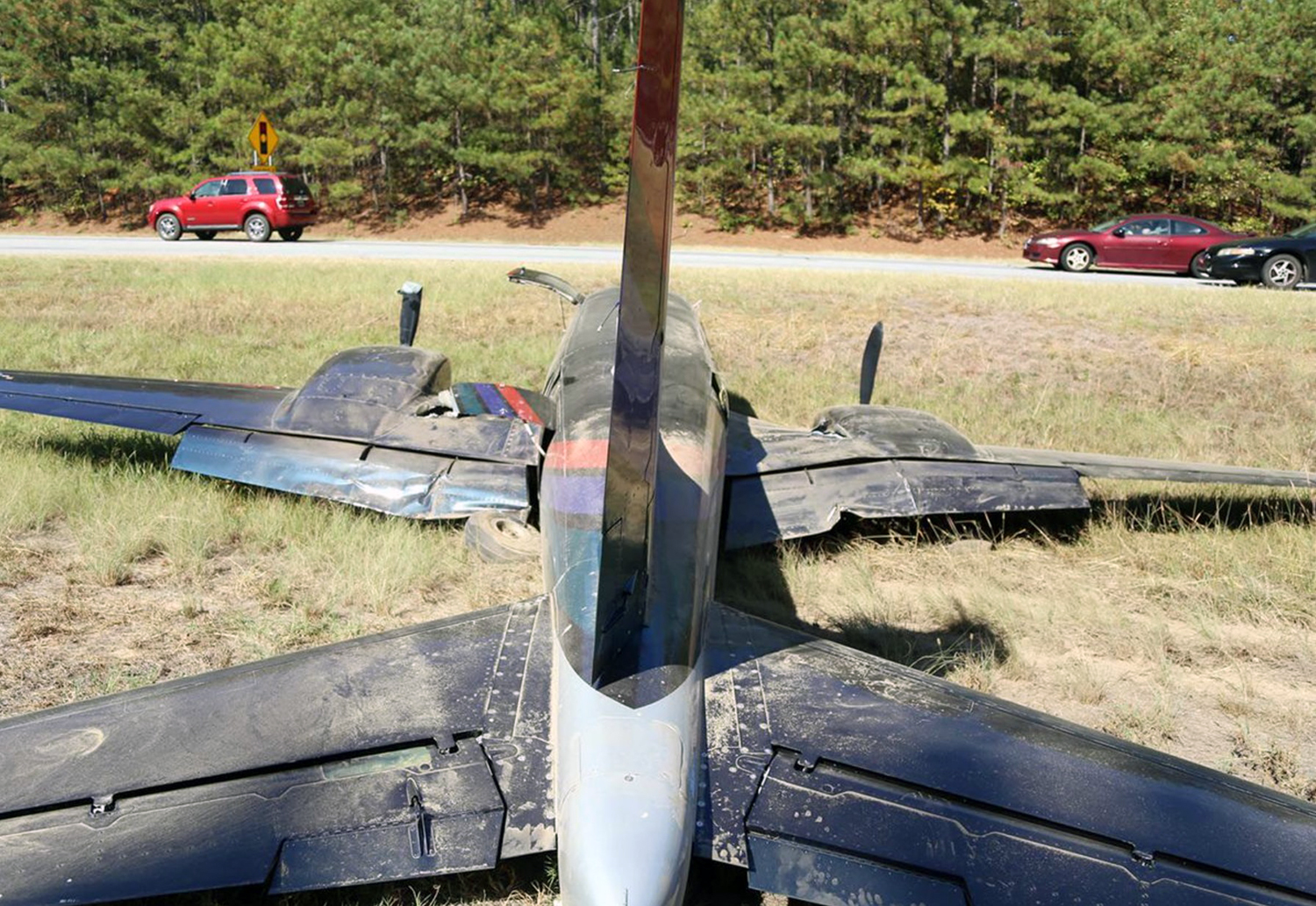
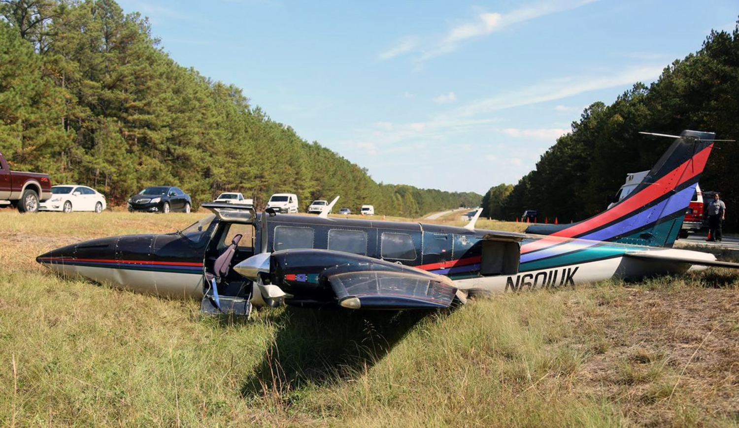
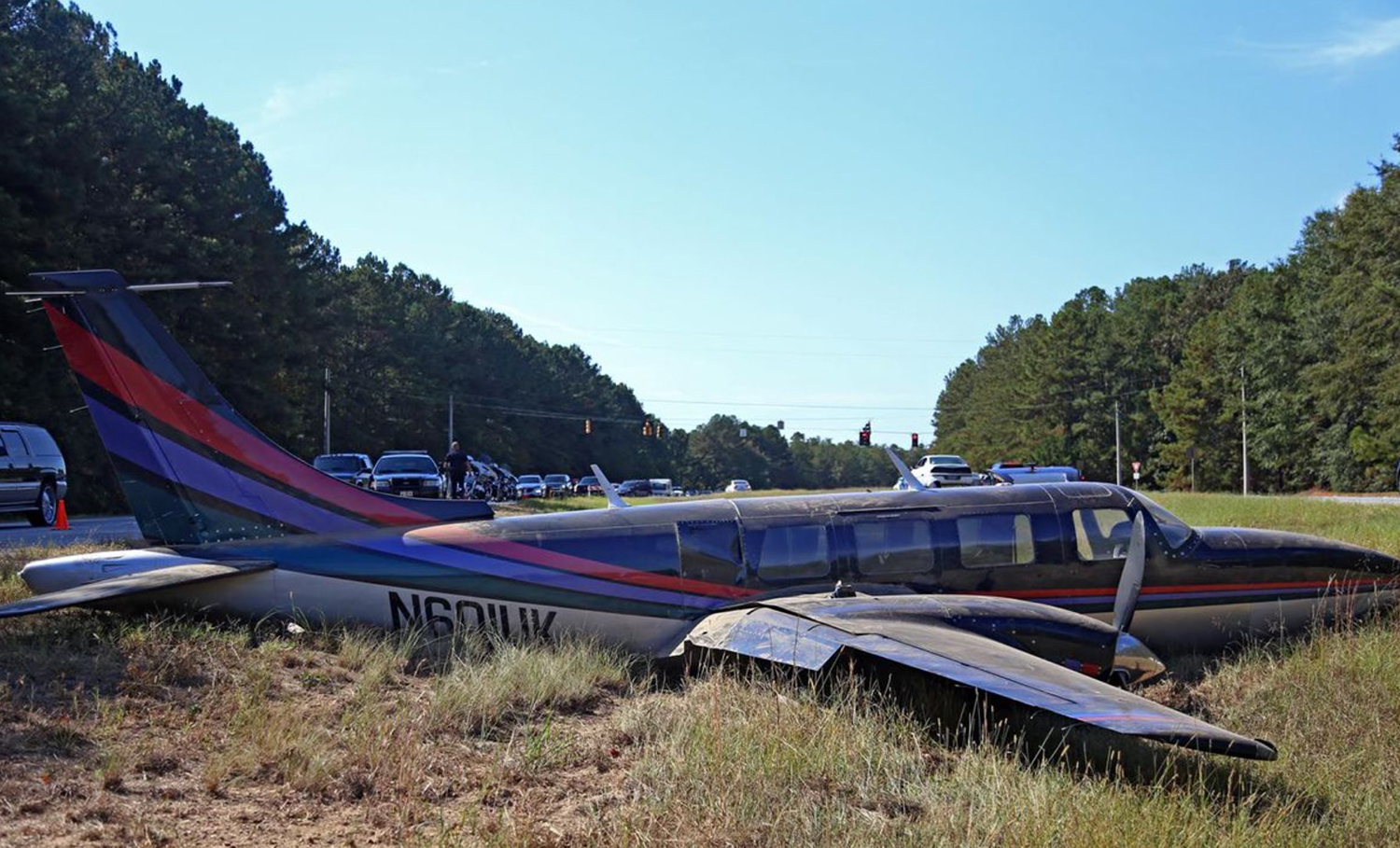
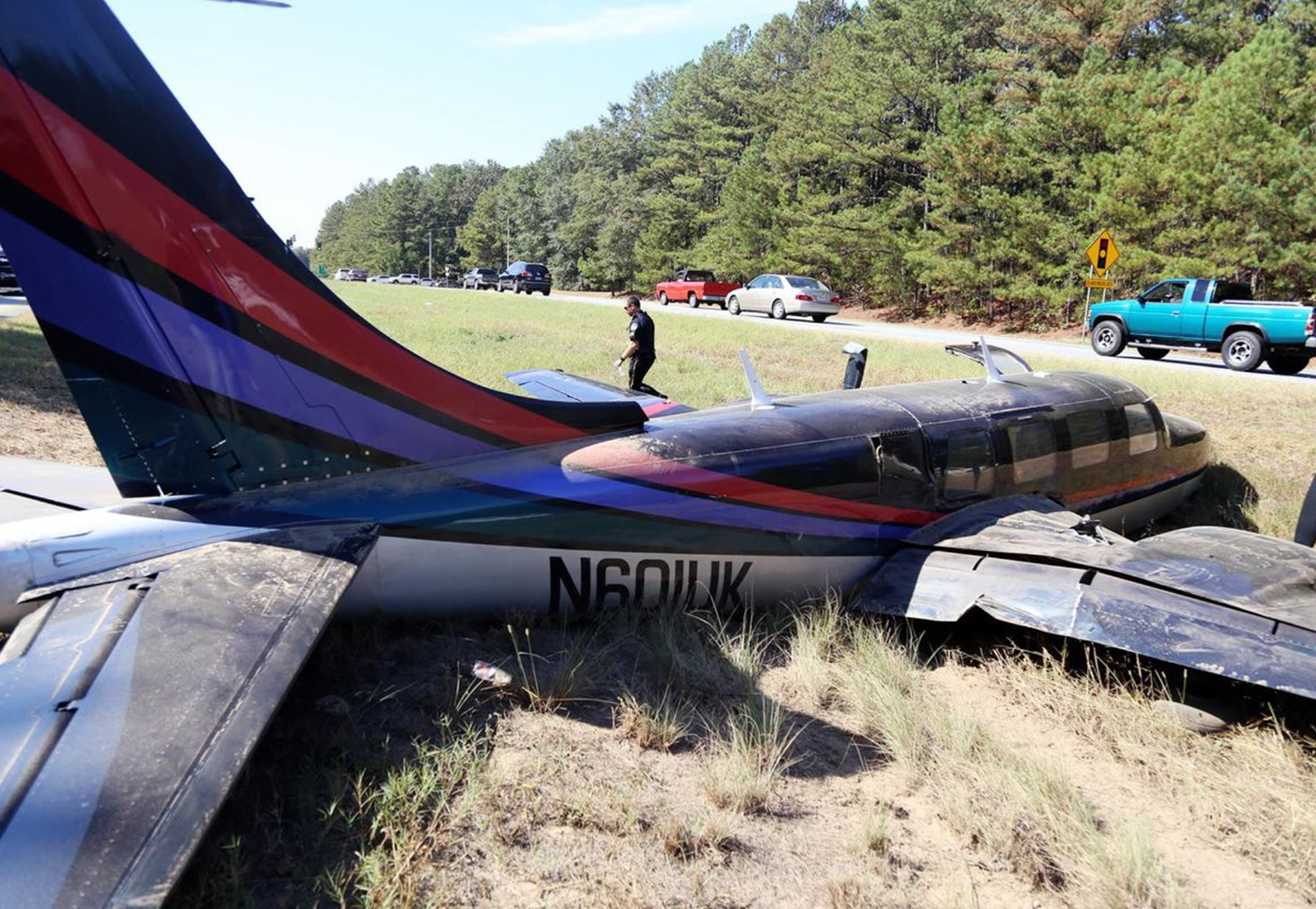
Crash of a Piper PA-61P Aerostar (Ted Smith 601) near Carrollton

Date & Time: Oct 20, 2016 at 1110 LT
Operator:
Registration:
N601UK
Flight Phase:
Flight Type:
Survivors:
Yes
Schedule:
Hampton – Carrollton
MSN:
61-0183-012
YOM:
1974
Crew on board:
1
Crew fatalities:
Pax on board:
0
Pax fatalities:
Other fatalities:
Total fatalities:
0
Captain / Total flying hours:
1338
Captain / Total hours on type:
36.00
Aircraft flight hours:
2236
Circumstances:
The pilot reported that the purpose of the flight was to reposition the airplane to another airport for refuel. During preflight, he reported that the airplane's two fuel gauges read "low," but the supplemental electronic fuel totalizer displayed 55 total gallons. He further reported that it is not feasible to visual check the fuel quantity, because the fueling ports are located near the wingtips and the fuel quantity cannot be measured with any "external measuring device." According to the pilot, his planned flight was 20 minutes and the fuel quantity, as indicated by the fuel totalizer, was sufficient. The pilot reported that about 12 nautical miles from the destination airport, both engines began to "surge" and subsequently lost power. During the forced landing, the pilot deviated to land in grass between a highway, the airplane touched down hard, and the landing gear collapsed. The fuselage and both wings sustained substantial damage. The pilot reported no preaccident mechanical malfunctions or failures with the airplane that would have precluded normal operation. The pilot reported in the National Transportation Safety Board Pilot/ Operator Aircraft Accident Report that there was a "disparity" between the actual fuel quantity and the fuel quantity set in the electronic fuel totalizer. He further reported that a few days before the accident, he set the total fuel totalizer quantity to full after refueling, but in hindsight, he did not believe the fuel tanks were actually full because the wings may not have been level during the fueling. The "Preflight" chapter within the operating manual for the fuel totalizer in part states: "Digiflo-L is a fuel flow measuring system and NOT a quantity-sensing device. A visual inspection and positive determination of the usable fuel in the fuel tanks is a necessity. Therefore, it is imperative that the determined available usable fuel be manually entered into the system."
Probable cause:
The pilot's failure to verify the usable fuel in the fuel tanks, which resulted in an inaccurate fuel totalizer setting during preflight, fuel exhaustion, and a total loss of engine power.
Final Report:
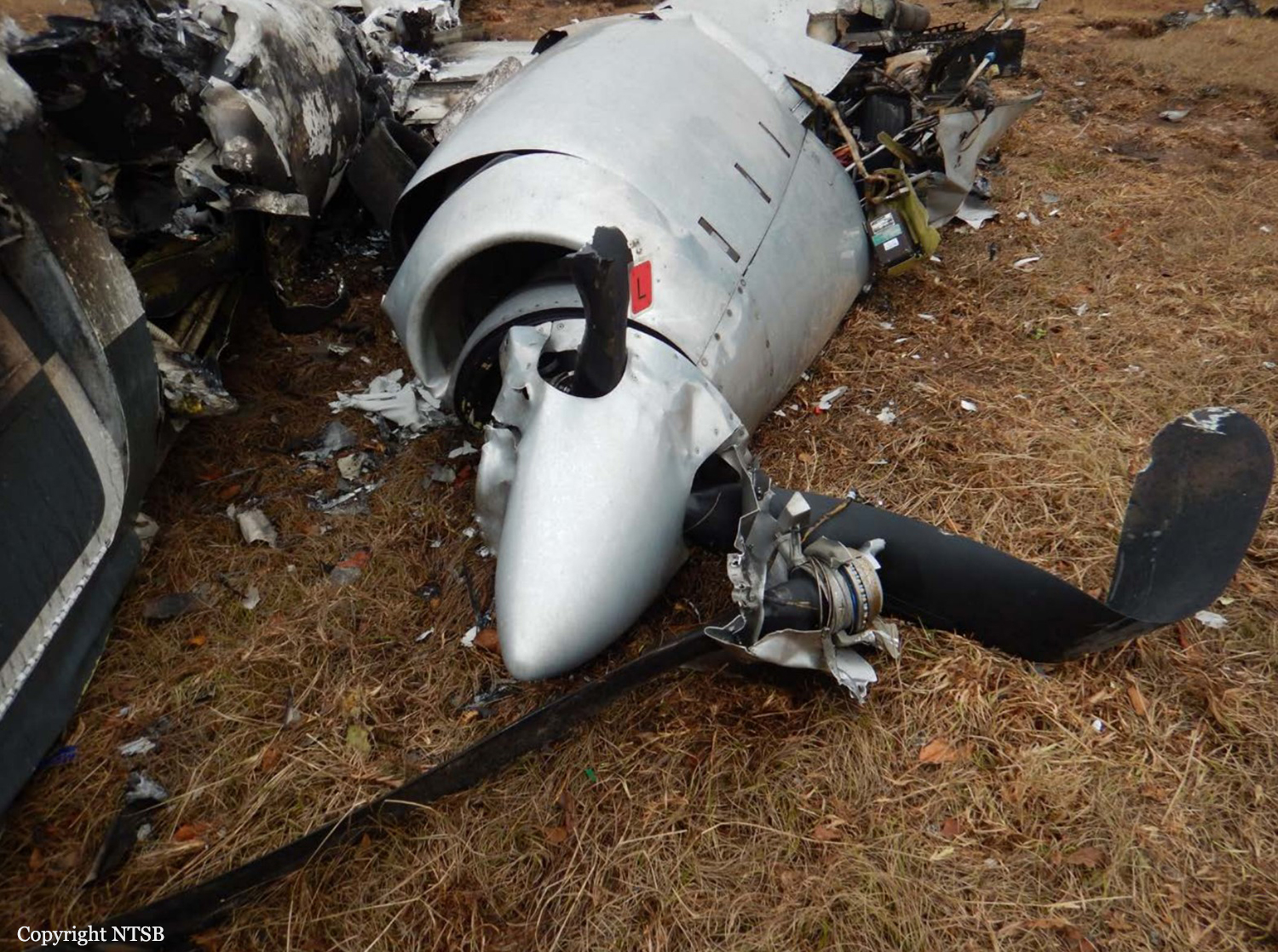
Crash of a De Havilland DHC-2 Beaver I near Laidman Lake: 1 killed

Date & Time: Oct 10, 2016 at 0844 LT
Type of aircraft:
Registration:
C-GEWG
Flight Phase:
Flight Type:
Survivors:
Yes
Schedule:
Vanderhoof - Laidman Lake
MSN:
842
YOM:
1955
Country:
Crew on board:
1
Crew fatalities:
Pax on board:
4
Pax fatalities:
Other fatalities:
Total fatalities:
1
Captain / Total flying hours:
280
Captain / Total hours on type:
23.00
Circumstances:
On 10 October 2016, at approximately 0820 Pacific Daylight Time, a privately operated de Havilland DHC-2 Beaver aircraft on amphibious floats (registration C-GEWG, serial number 842), departed from Vanderhoof Airport, British Columbia, for a day visual flight rules flight to Laidman Lake, British Columbia. The pilot and 4 passengers were on board. Approximately 24 minutes into the flight, the aircraft struck terrain about 11 nautical miles east of Laidman Lake. The 406 MHz emergency locator transmitter (ELT) activated on impact. The ELT's distress signal was detected by the Cospas-Sarsat satellite system, and a search-and-rescue operation was initiated by the Joint Rescue Coordination Centre Victoria. One of the passengers was able to call 911 using a cell phone. The pilot was fatally injured, and 2 passengers were seriously injured. The other 2 passengers sustained minor injuries. The aircraft was substantially damaged. There was no post-impact fire.
Probable cause:
Findings as to causes and contributing factors:
1. As the aircraft approached the mountain ridge, the high overcast ceiling and uniform snow-covered vegetation were conducive to optical illusions associated with flight in mountainous terrain. These illusions likely contributed to the pilot’s misjudgment of the proximity of the terrain, inadvertent adoption of an increasingly nose-up attitude, and non-detection of the declining airspeed before banking the aircraft to turn away from the hillside.
2. As the angle of bank increased during the turn, the stall speed also increased and the aircraft entered an accelerated stall.
3. The aircraft’s out-of-limit weight-and-balance condition increased its stall speed and degraded its climb performance, stability, and slow-flight characteristics. As a result, its condition, combined with the aircraft’s low altitude, likely prevented the pilot from regaining control of the aircraft before the collision with the terrain.
4. The absence of a stall warning system deprived the pilot of the last line of defence against an aerodynamic stall and the subsequent loss of control of the aircraft.
5. The forward shifting of the unsecured cargo and the partial detachment of the rear seats during the impact resulted in injuries to the passengers.
6. During the impact sequence, the load imposed on the pilot’s lap-belt attachment points was transferred to the seat-attachment points, which then failed in overload. As a result, the seat moved forward during the impact and the pilot was fatally injured.

Findings as to risk:
1. If pilots do not obtain quality sleep during the rest period prior to flying, there is a risk that they will operate an aircraft while fatigued, which could degrade pilot performance.
2. If cargo is not secured, there is a risk that it will shift forward during an impact or turbulence and injure passengers or crew.

Other findings:
1. Because the aircraft was equipped with a 406 MHz emergency locator transmitter that transmitted an alert message to the Cospas-Sarsat satellites system in combination with the homing signal transmitted on 121.5 MHz, the Joint Rescue Coordination Centre aircraft was able to locate the wreckage and occupants in a timely manner.
Final Report:
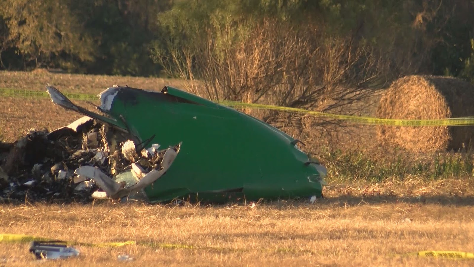
Crash of a Cessna T207A Turbo Stationair 8 near Uchuquinua: 3 killed

Date & Time: Oct 9, 2016 at 0900 LT
Operator:
Registration:
OB-1936-P
Flight Phase:
Survivors:
No
Site:
Schedule:
Trujillo - Pucallpa
MSN:
207-0767
YOM:
1984
Country:
Crew on board:
1
Crew fatalities:
Pax on board:
2
Pax fatalities:
Other fatalities:
Total fatalities:
3
Circumstances:
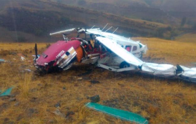
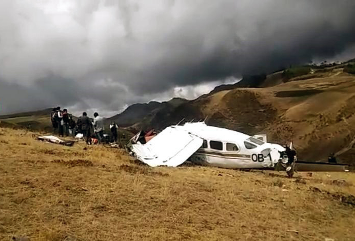
The single engine aircraft was completing a charter flight from Trujillo to Pucallpa, carrying two pilots and pilot. While cruising over the Cajamarca Province, the pilot encountered poor weather conditions with heavy rain falls. He modified his route and was able to continue under VFR mode in good weather conditions. Nevertheless, he continued at an insufficient altitude when the aircraft impacted ground and crashed in a mountainous area. The aircraft was destroyed by impact forces and all three occupants were killed. There was no fire.
Probable cause:
The accident was the consequence of a loss of situational awareness of the pilots, by not making a continuous surveillance during the VFR flight in good weather conditions, not determining timely the corrections of direction or altitude, which finally led them to fail to fly over the ground of the new route adopted in flight, generating a probable aerodynamic loss at the limit of the performance of the aircraft, occurring a CFIT accident.
Contributing factors:
- Limited or poor use of the available GPS Terrain Proximity Warning system.
- Poor or erroneous appreciation of the weather conditions at the beginning of the flight, which led them to vary the route to fly over terrain with higher elevation.
- Limited appreciation of terrain height on the new route in relation to the selected cruising altitude.
Final Report: