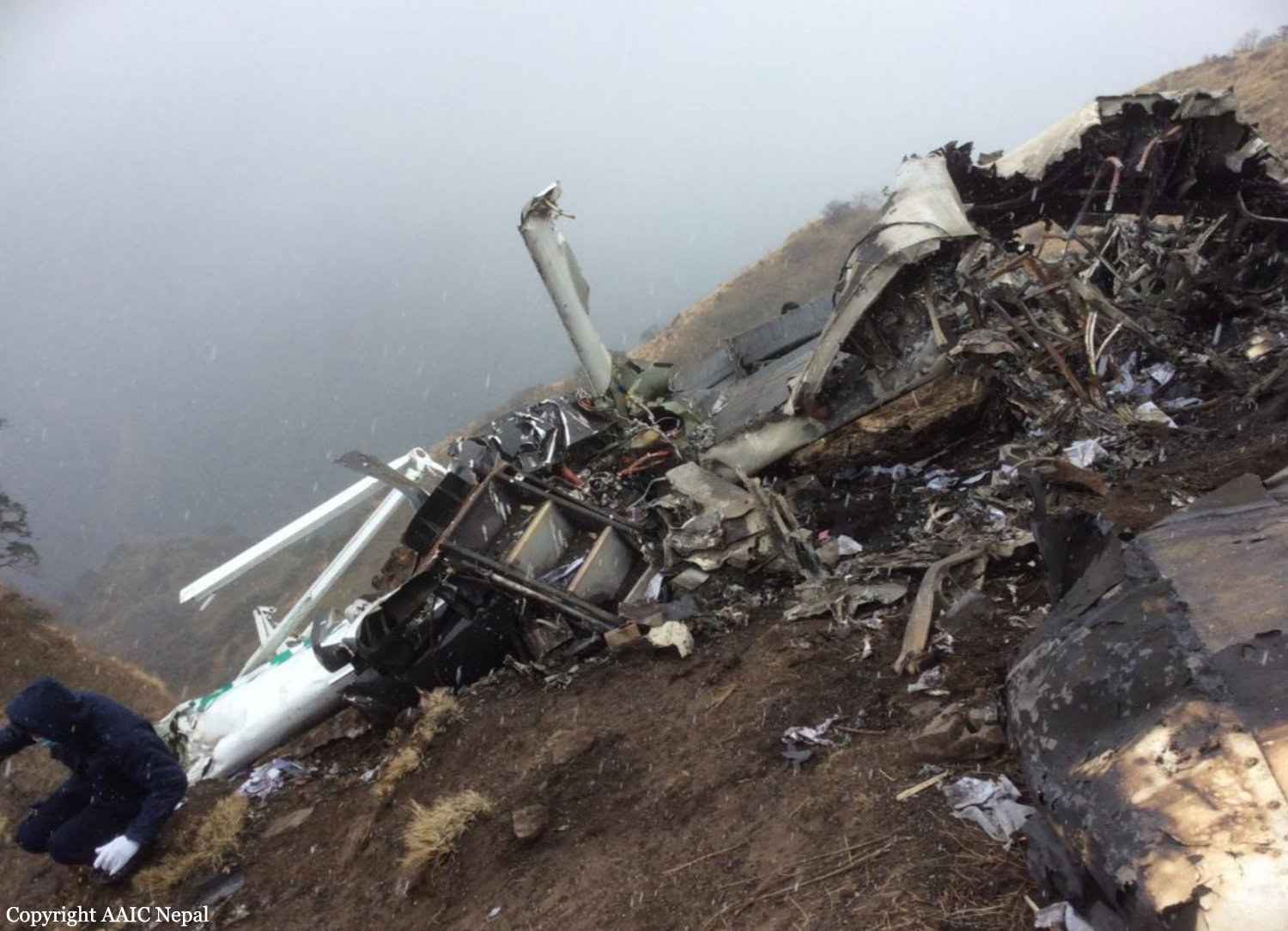
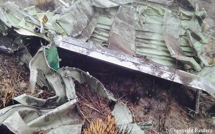
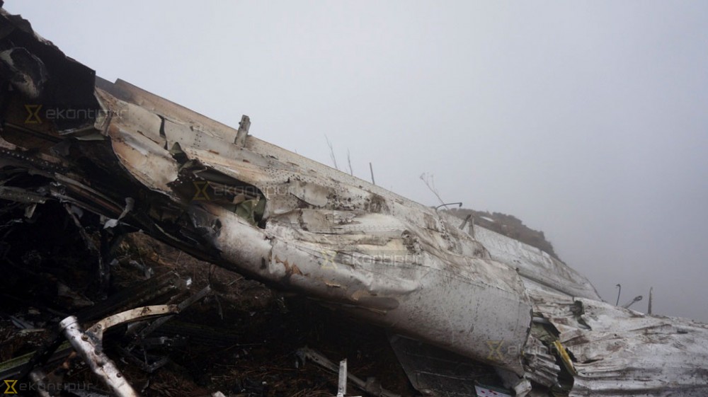
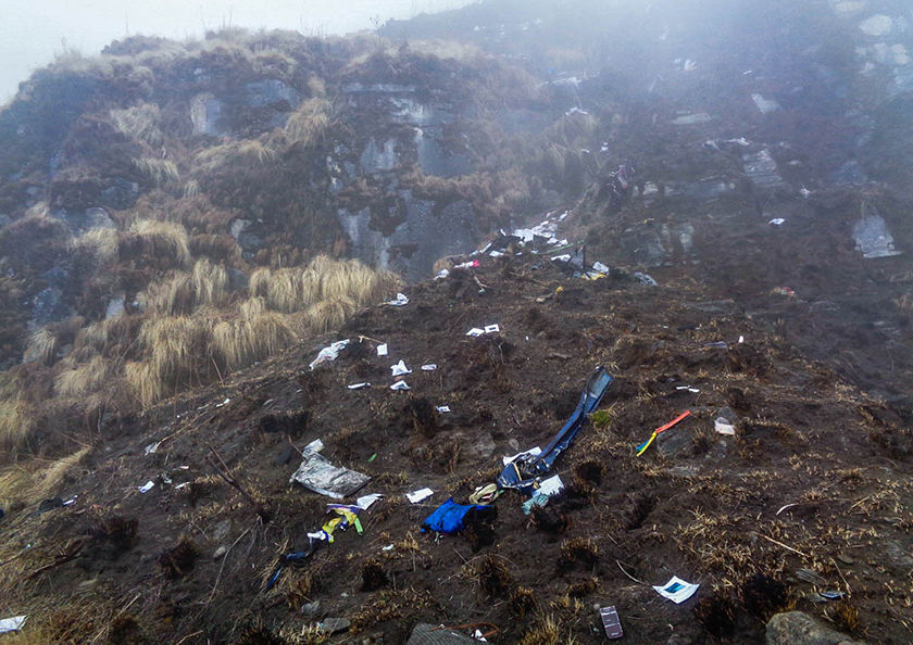
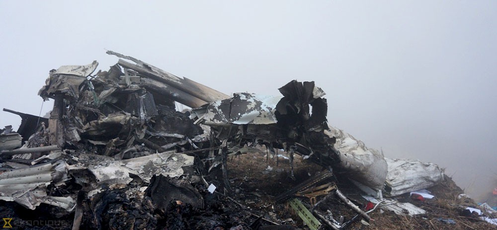
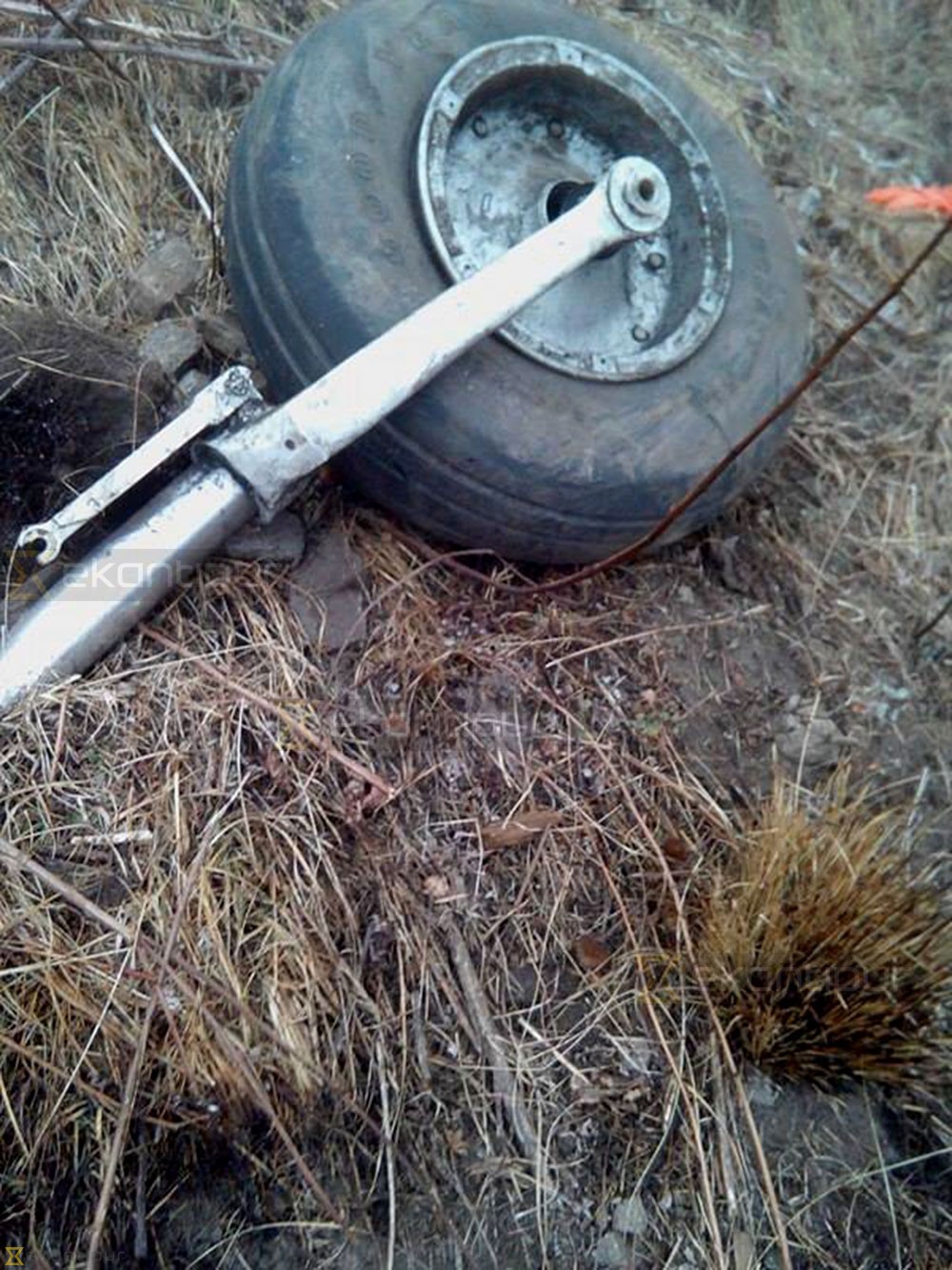
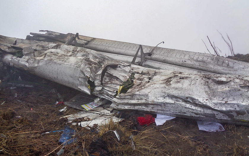
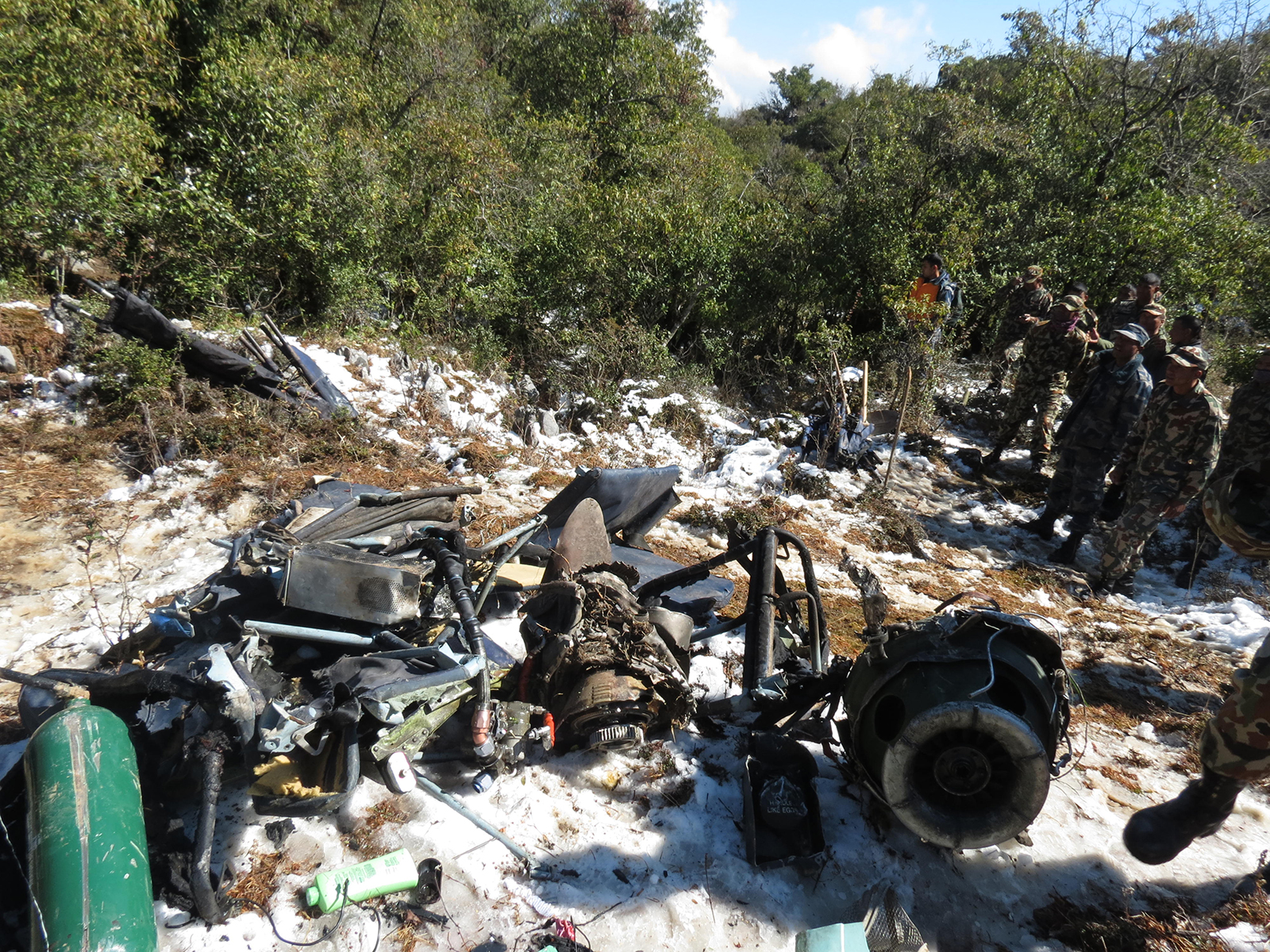
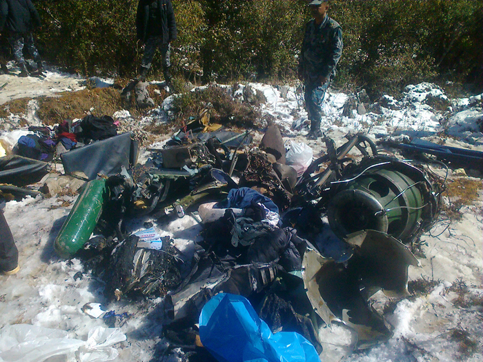
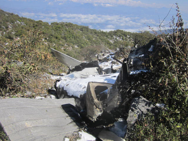
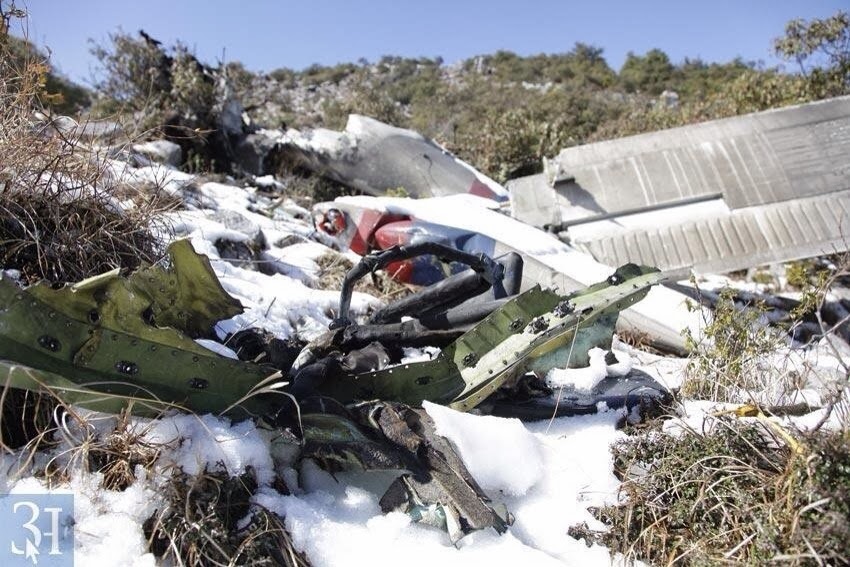
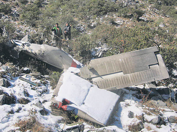
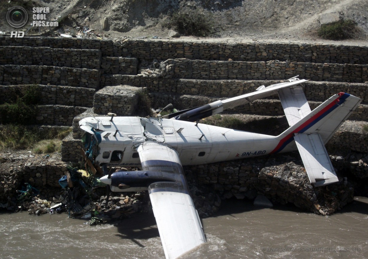
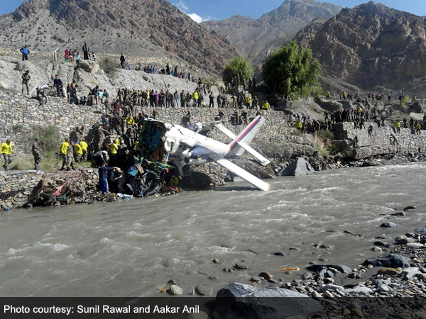
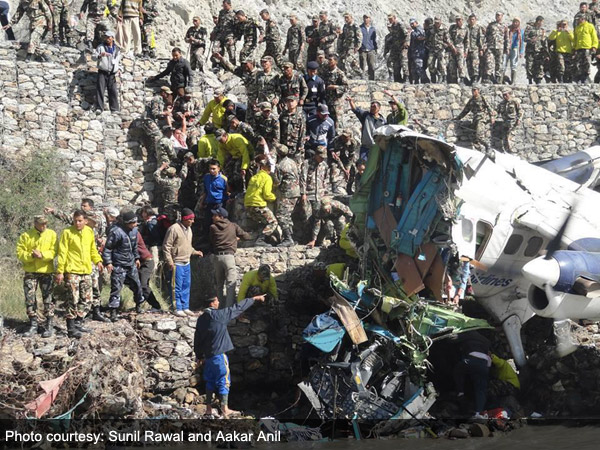
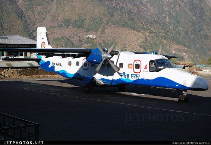
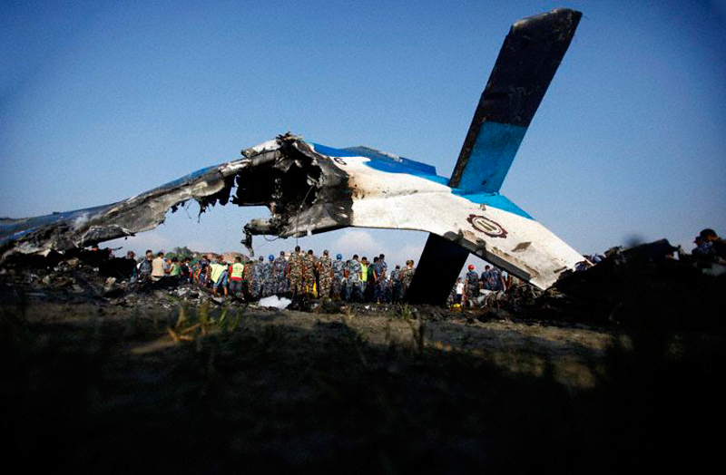
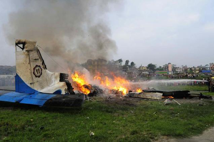
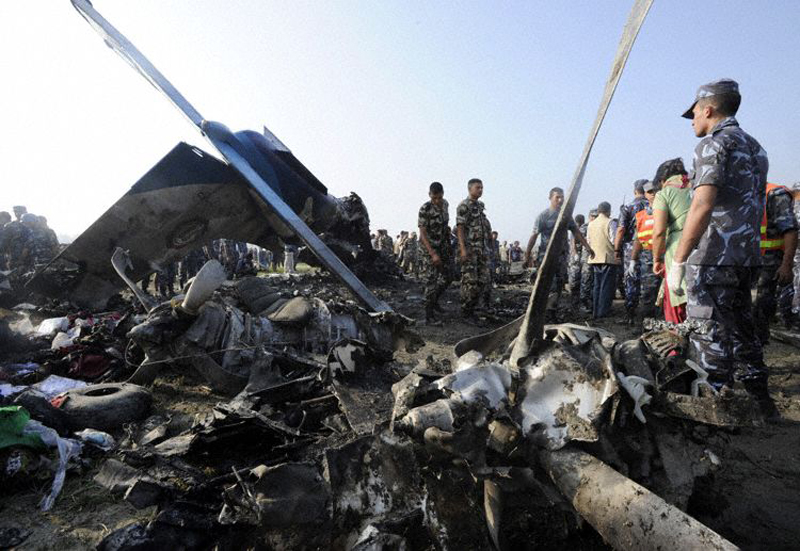
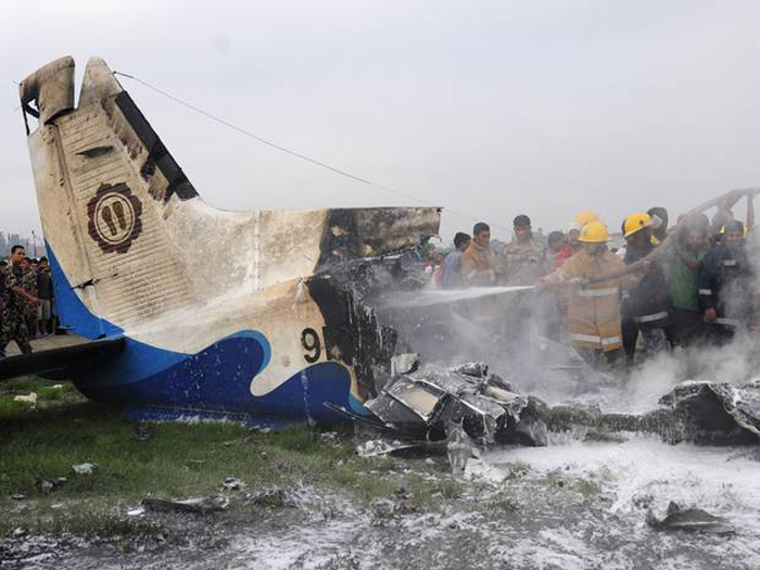
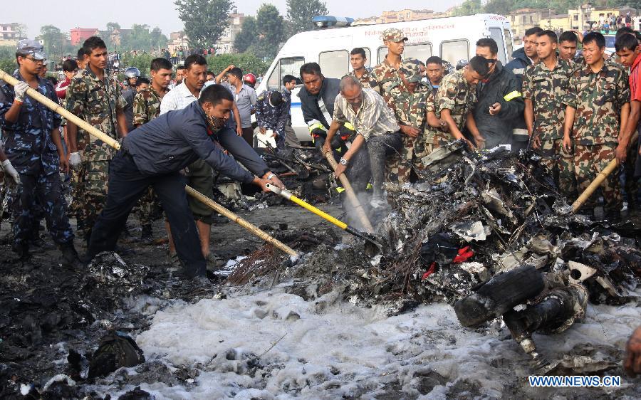
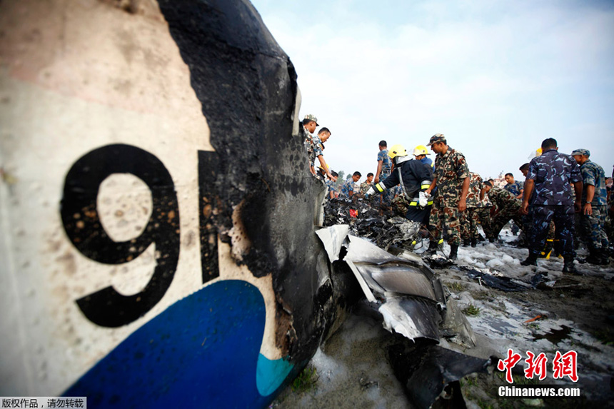
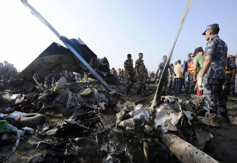
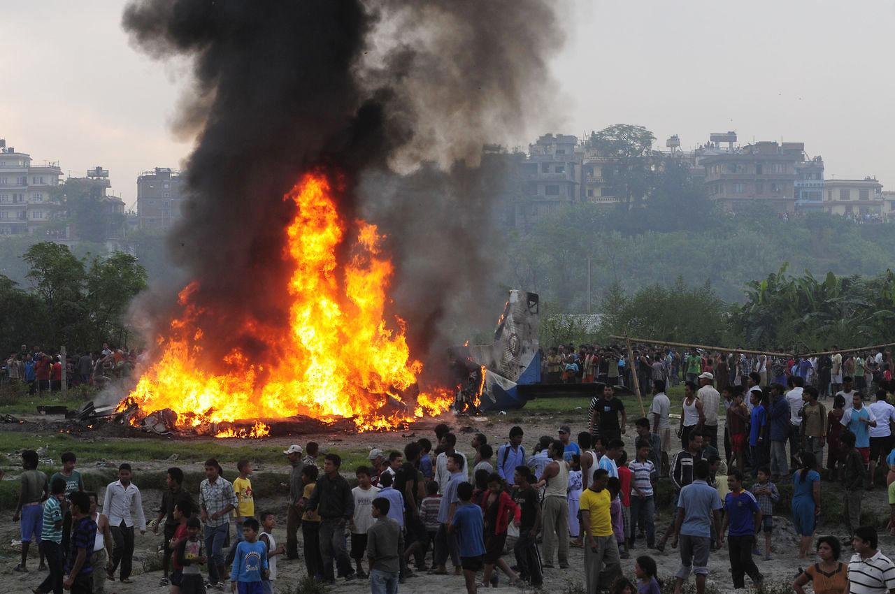
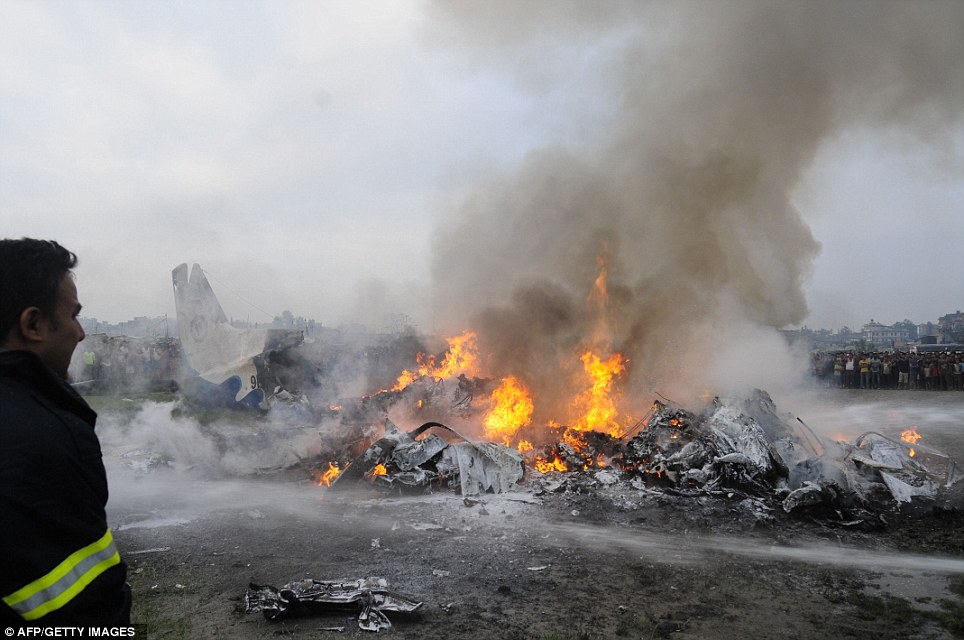
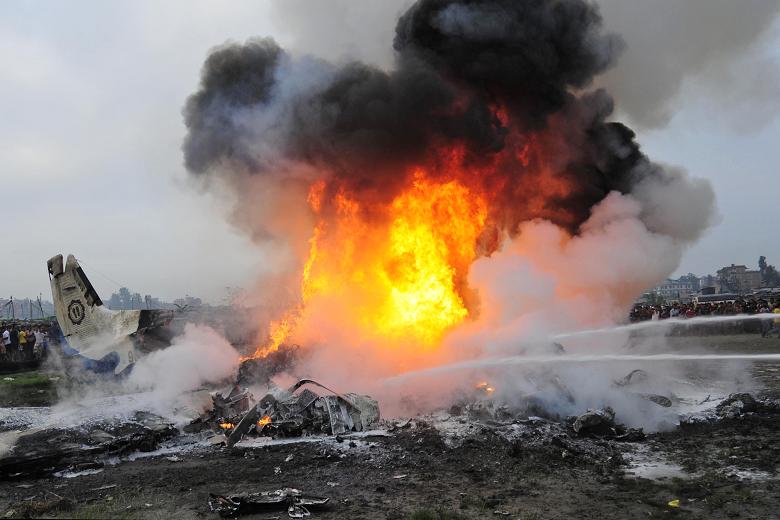
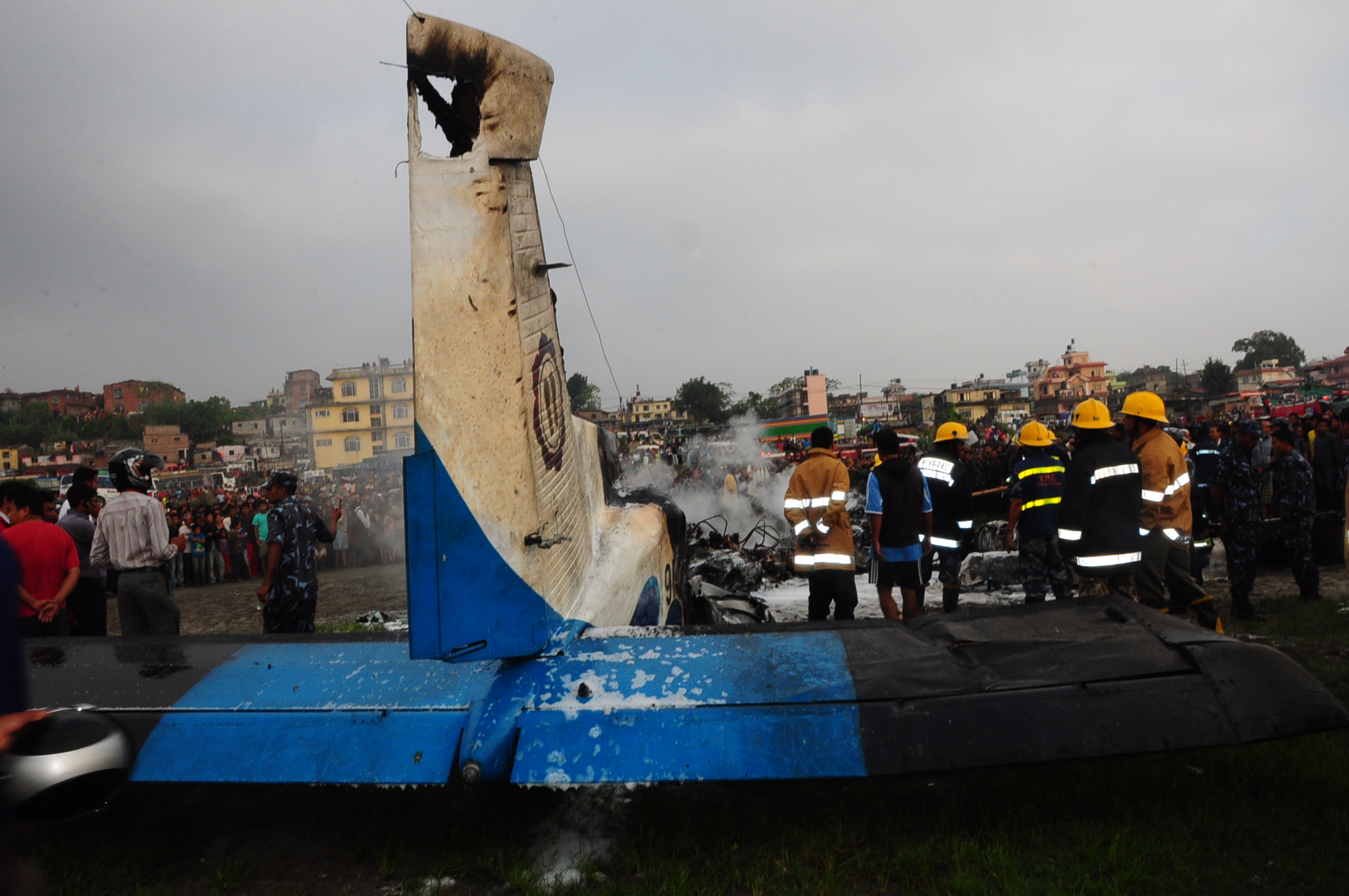
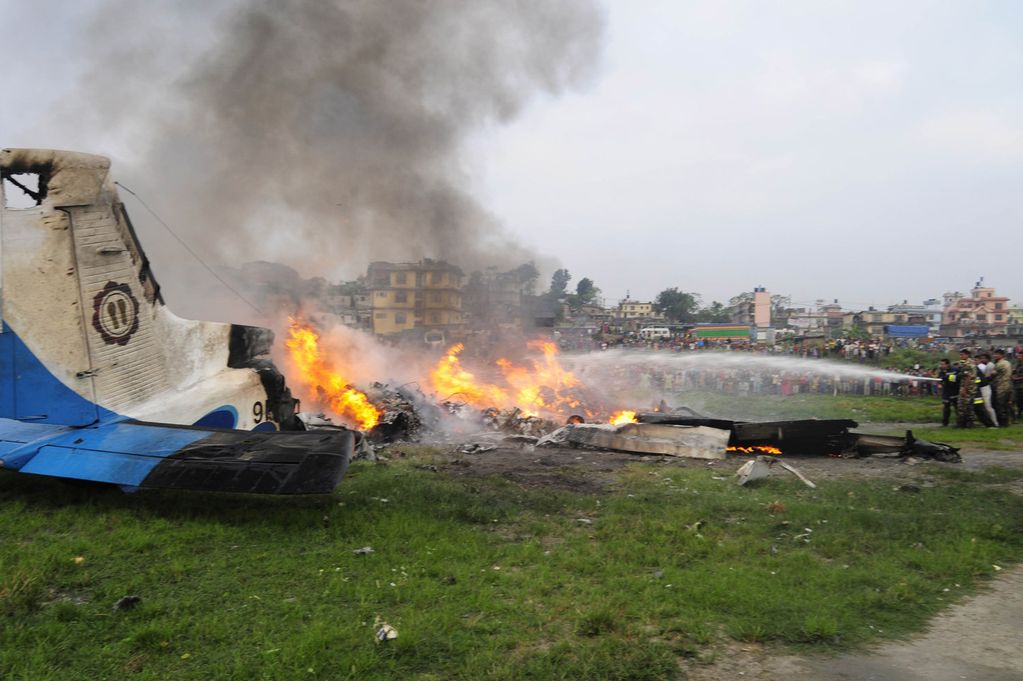
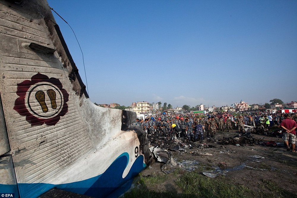
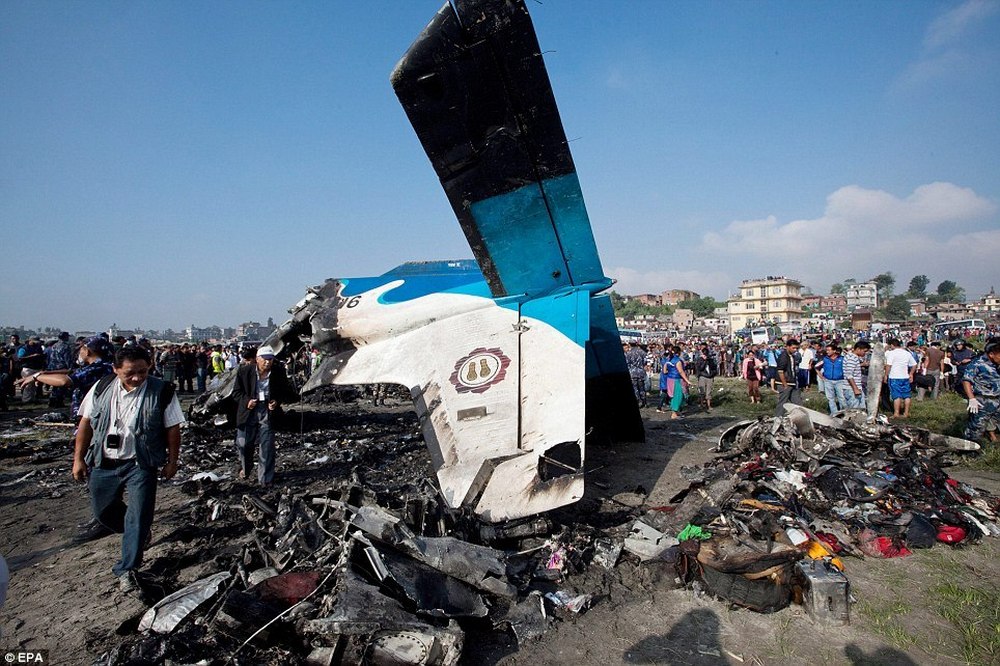
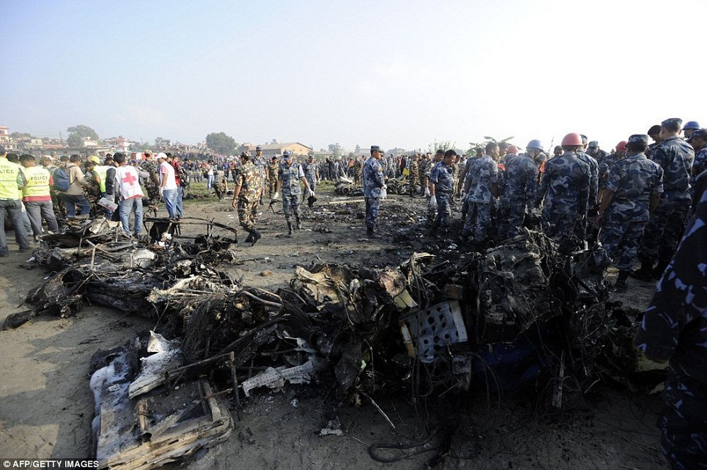
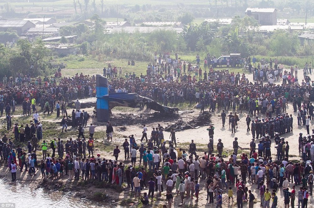
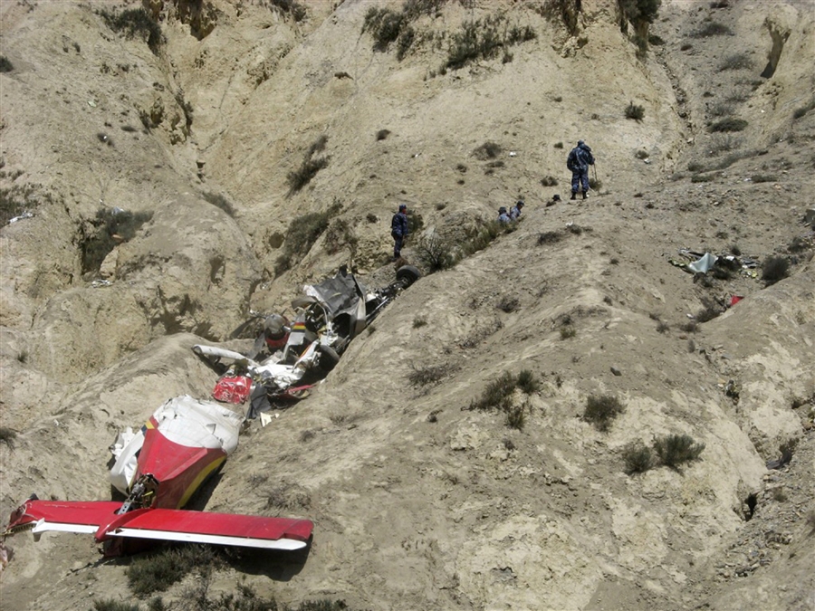
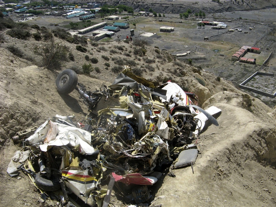
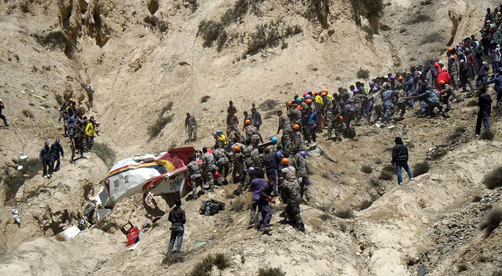
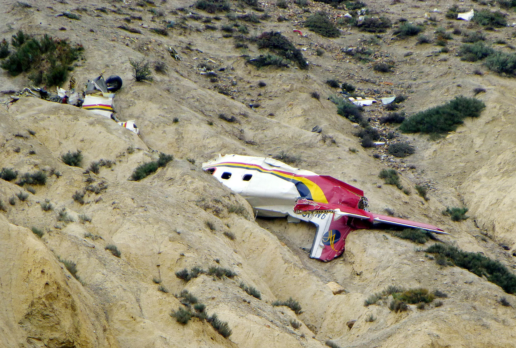
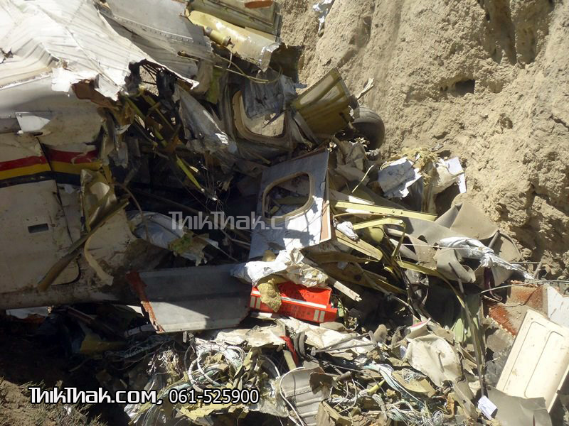
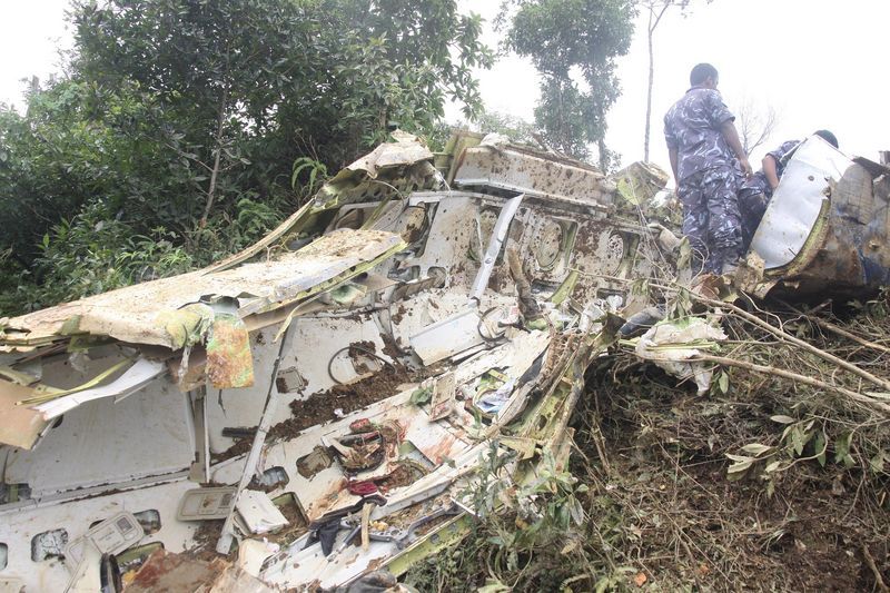
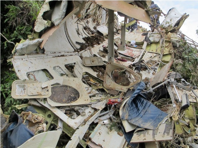
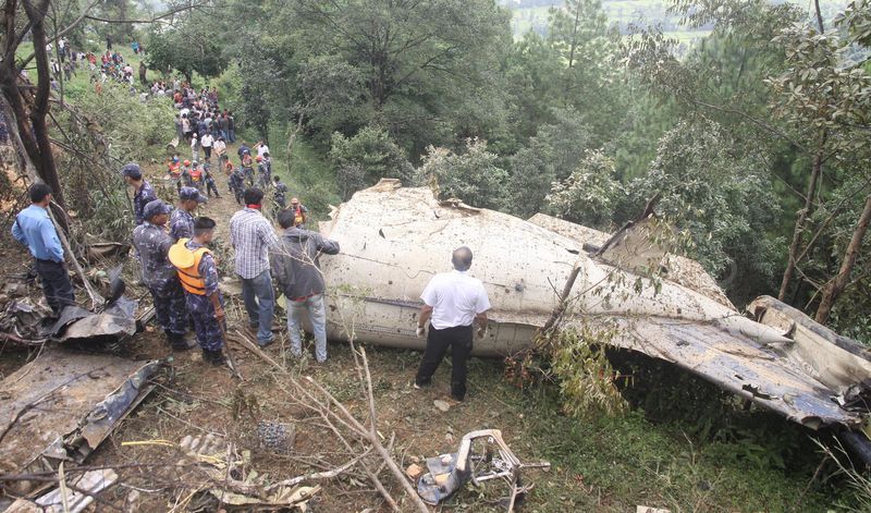
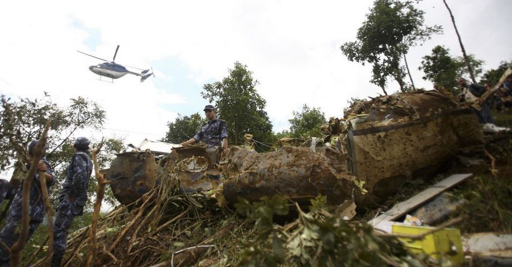
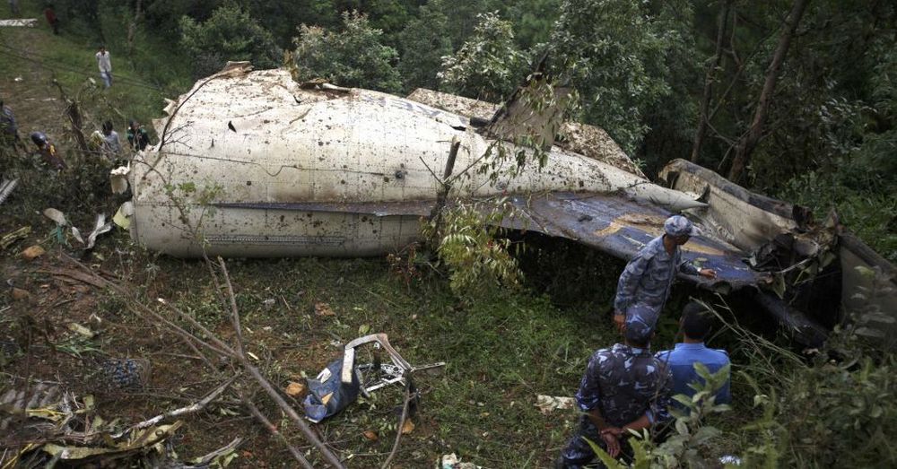
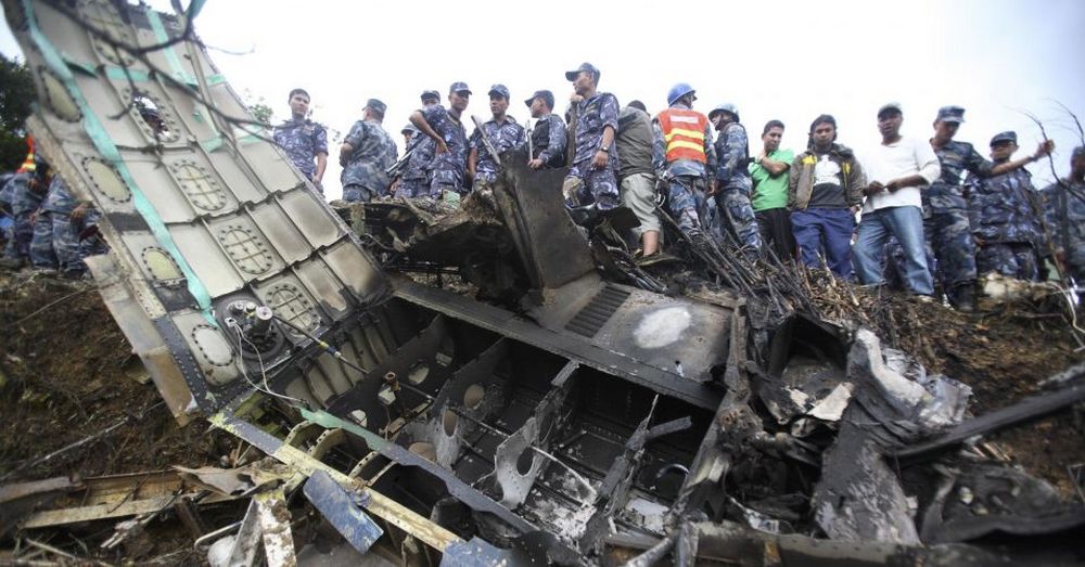
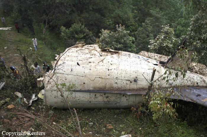
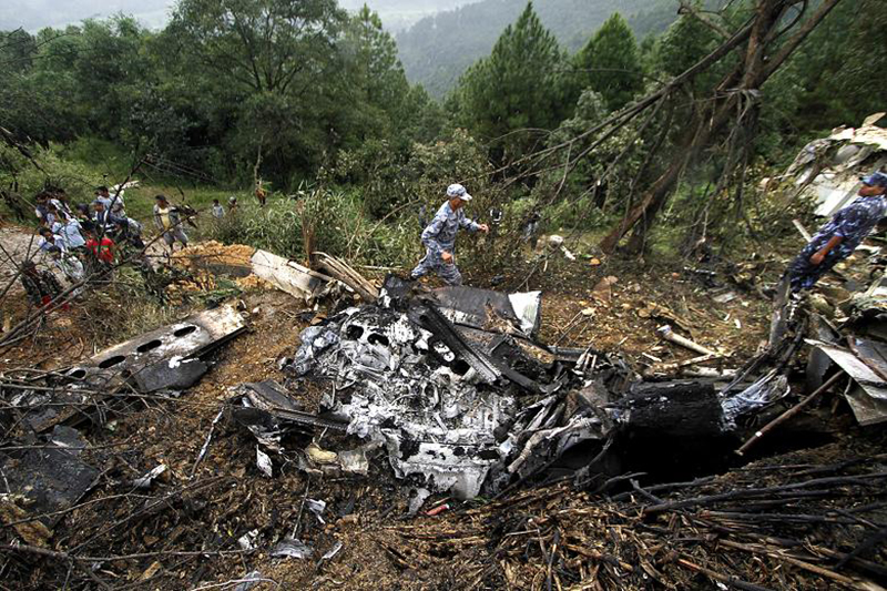
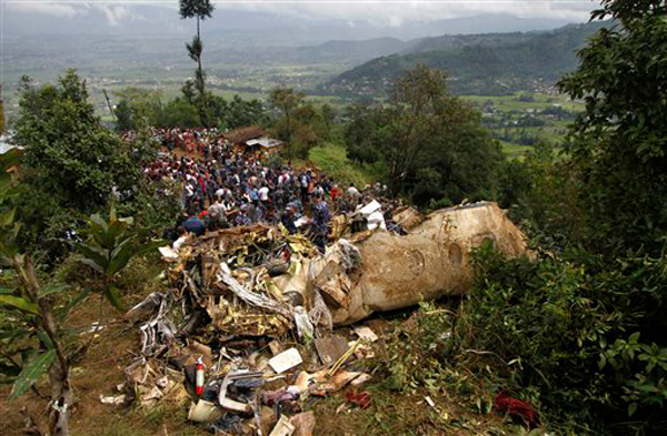
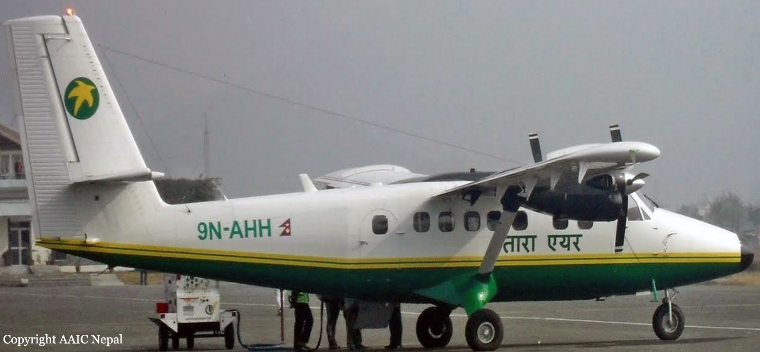
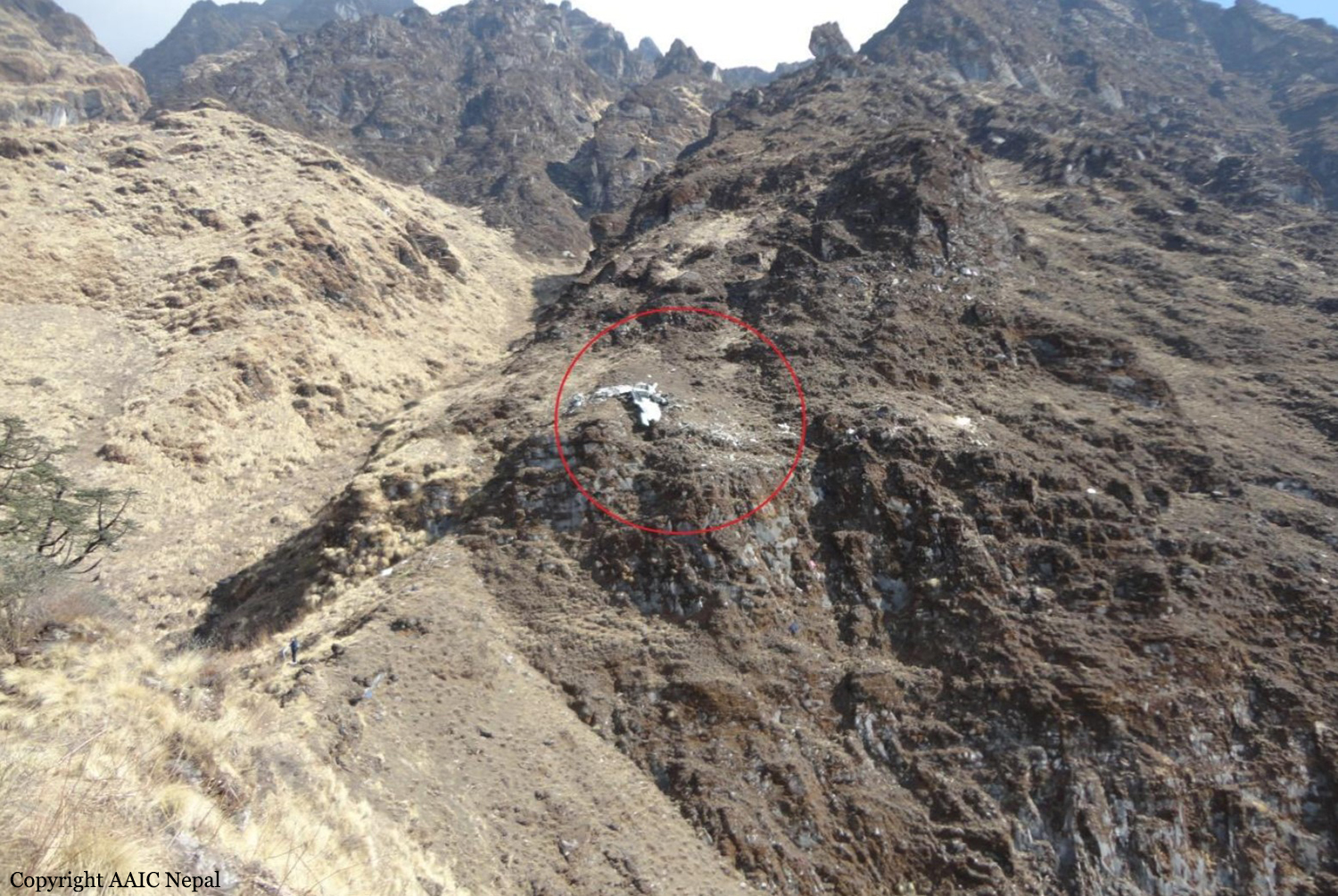
Crash of a Viking Air DHC-6 Twin Otter 400 near Dana: 23 killed

Date & Time: Feb 24, 2016 at 0819 LT
Operator:
Registration:
9N-AHH
Flight Phase:
Survivors:
No
Site:
Schedule:
Pokhara – Jomsom
MSN:
926
YOM:
2015
Flight number:
TA193
Country:
Region:
Crew on board:
3
Crew fatalities:
Pax on board:
20
Pax fatalities:
Other fatalities:
Total fatalities:
23
Captain / Total flying hours:
20108
Captain / Total hours on type:
18500.00
Copilot / Total flying hours:
760
Copilot / Total hours on type:
560
Aircraft flight hours:
270
Aircraft flight cycles:
482
Circumstances:
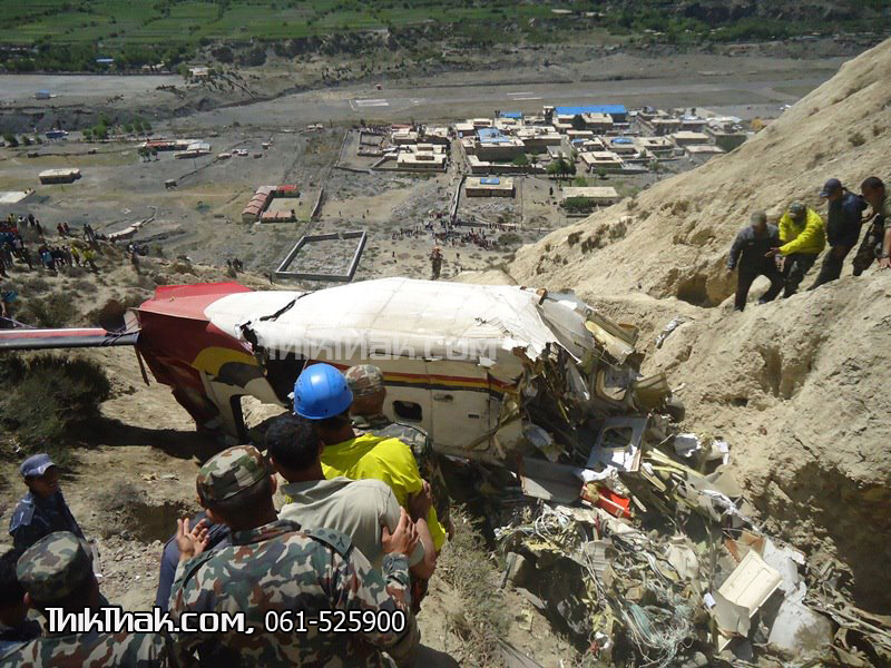
As per the flight plan submitted on 23rd February 2016, the aircraft was scheduled for VFR flight to Jomsom (VNJS) on 24th February with estimated off-block time of 01:00, intended cruising speed of 150 knots, intended level of 10,500 ft and via direct track. The first and second alternate aerodromes were Bhairahawa (VNBW) and Pokhara (VNPK) respectively and estimated elapsed time was 20 minutes with the fuel endurance of 2 hours and 30 minute. Based on the information from the CVR, FDR and ATC records, the following description of the history of the flight was reconstructed: At 01:55, the first-officer contacted Pokhara tower requesting Jomsom and Bhairahawa weather. Upon receiving Jomsom weather which was 8 km visibility towards Lete (arrival track) and foothill partially visible; at 01:56 F/O requested start-up for Jomsom. First-officer then briefed the weather to the captain, in response to this the captain responded by saying 'Let‘s have a look, if not possible we will return' (Translated from Nepali conversation). While performing the 'before start checklist', they received weather of Bhairahawa as closed. After completing the checklist and start-up the first-officer at 02:00 requested taxi clearance. The ATC informed runway change to 22 instead of runway 04 and gave taxi clearance. At 02:03 while taxiing the captain considering bad weather condition expressed his concern over the runway change with F/O but failed to express it to the ATC. As briefed by captain earlier, the control was transferred to F/O and at 02:04 F/O made a normal take-off. At 02:08 the captain reported 5 miles at 6,200 ft to ATC. At 02:09, while passing through 7,000 ft the captain informed the actual weather, which was light haze, mountain not visible but had ground contact, to an ultra-light aircraft upon his request. As per the cockpit conversation, the crew were comparing the base of the cloud which was higher than the day before and proposed to continue climb to 12,500 ft if not on-top of the cloud at 10,500 ft. Around 5 miles before Ghorepani passing 10,100 ft, the captain told that cells were still present so advised F/O to continue climb to 12,000 ft and told that they will proceed till TATOPANI and decide to continue or divert. At 02:14 approaching GHOREPANI and passing 11,400 ft, Captain told F/O to maintain level to be in between the cloud layers and briefed F/O that if they had to divert it would be a left turn. At the same time captain asked repeatedly to F/O if his side was raining for which F/O told and confirmed not visual, after which captain told they would see and decide (regarding continuation of flight). At 02:14:50 while over Ghorepani area at 11,500 ft the EGPWS TERRAIN alert and at 02:14:52 PULL UP warning came while they were not visual and at 02:15:01 it was stated that they were visual and by 02:14:53 the warning stopped. At 02:15 while maintaining 11,500 ft the captain reported ATC that they are at Ghorepani at level 10,500 ft after which frequency changeover to Jomsom tower was given. At 02:15:27 the captain instructed F/O to maintain heading of 3300 and flight level just below the cloud, after which a shallow descent was initiated. At this time captain asked F/O if his side was visual, in response F/O replied somewhat visual. The Captain then instructed F/O to descent to 10,000 ft. Once the descent was started at 02:15:55 passing 11,000 ft an OVERSPEED warning sounded in the cockpit for 2 seconds as the speed reached 152 knots. At 02:16 while passing 10,700 ft captain advised F/O to make a left turn so that it would be easy to turn if required as he was able to see his side. Then F/O asked if left side was visual for which the captain informed that not that side (towards the track) but somewhat visual to the left of him and told that the TRACK TO GO was TO THE LEFT whereas they were actually left of the track and had descended to 10,300 ft. At 02:17:58 EGPWS TERRAIN alert sounded when the aircraft was at 10,200 ft and descending on heading of 3210 with right bank angle of around 30 . At 02:18:06 when the aircraft had descended to 10,100 ft the PULL UP WARNING sounded for which the captain said not to worry and at 02:18:12; when the aircraft was at 10,000 ft the captain took-over the control, continued descent and asked F/O if his side was visual. The F/O informed that right side was not visual at all by which the aircraft had continued shallow descent on heading 3250 with right bank angle reaching up to 130 at 2:18:19 and by 02:18:23 the aircraft once again returned back to 0° bank angle. At 02:18:23 the captain started left bank followed by right bank again while still on a shallow descent until 02:18:27.Upon reaching 9,850 ft (lowest altitude) the aircraft started very shallow climb. At 02:18:35 when aircraft was 9,920 ft the captain told F/O that they reached Landslide (a checkpoint which is on track to Jomsom on the right side of the Kali-Gandaki River). At 02:18:44 when aircraft reached 10,150 ft captain told ―what I will do is now I will turn to heading of LETTE‖ (another way point on route to Jomsom); while the PULL-UP warning was continuously sounding. At 02:18:49 when the aircraft was at 10,300 ft right bank angle increased up to 16° with pitch up attitude of 7°. At 02:18:52 the captain told that he would start climb when the aircraft had reached 10,350 ft; pitch attitude of 10° and still on right bank. The aircraft reached zero degree bank at 02:18:53 and started shallow left bank with pitch attitude of 12° nose up. By 02:18:57 the bank angle reached 200 left with pitch attitude of 11.8 and altitude of 10,550 ft and captain was still questioning F/O about the visibility towards his side but F/O informed his side not visible completely. The last data recorded in FDR was at 02:19:03 when the altitude had reached around 10,700 ft; pitch attitude of 7° nose up and left bank angle of 25° heading of 335° with EGPWS PULL-UP warning ON.
Probable cause:
The Commission concludes that the probable cause of this accident was the fact that despite of unfavourable weather conditions, the crew‘s repeated decision to enter into cloud during VFR flight and their deviation from the normal track due to loss of situational awareness aggravated by spatial disorientation leading to CFIT accident.
The contributing factors for the accident are:
1. Loss of situational awareness,
2. Deteriorating condition of weather,
3. Skill base error of the crew during critical phases of flight,
4. Failure to utilize all available resources (CRM), especially insensitivity to EGPWS cautions/warnings.
Final Report:
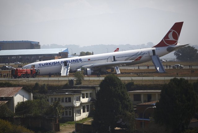
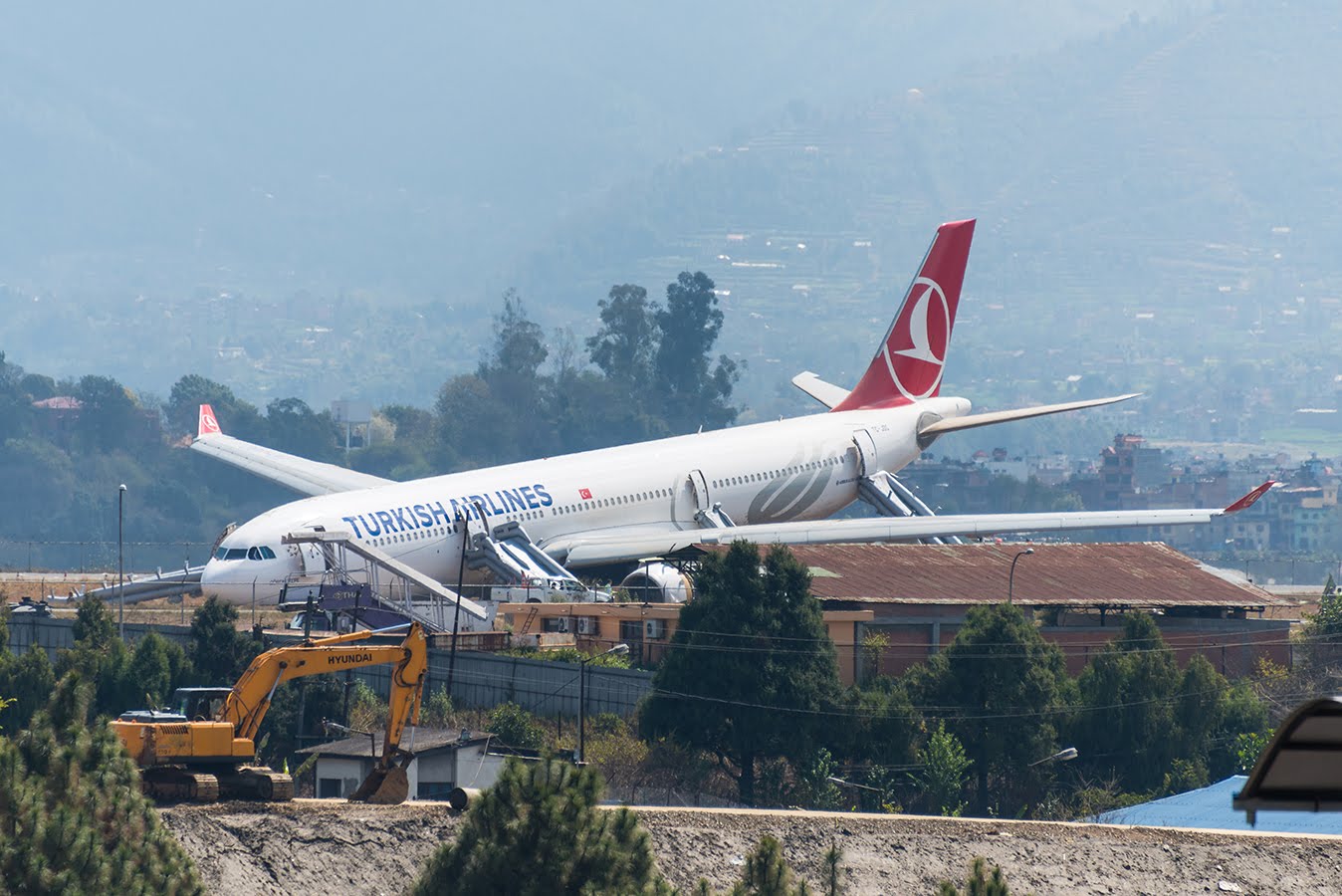
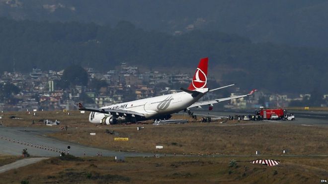
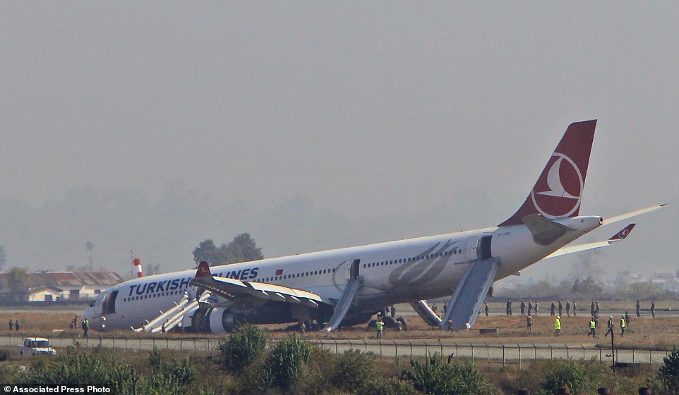
Crash of an Airbus A330-303 in Kathmandu

Date & Time: Mar 4, 2015 at 0744 LT
Type of aircraft:
Operator:
Registration:
TC-JOC
Survivors:
Yes
Schedule:
Istanbul – Kathmandu
MSN:
1522
YOM:
2014
Flight number:
TK726
Country:
Region:
Crew on board:
11
Crew fatalities:
Pax on board:
224
Pax fatalities:
Other fatalities:
Total fatalities:
0
Captain / Total flying hours:
14942
Captain / Total hours on type:
1456.00
Copilot / Total flying hours:
7659
Copilot / Total hours on type:
1269
Aircraft flight hours:
4139
Aircraft flight cycles:
732
Circumstances:
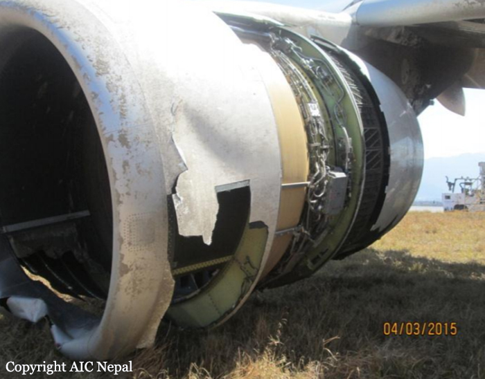
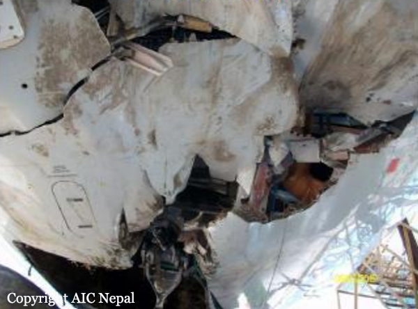
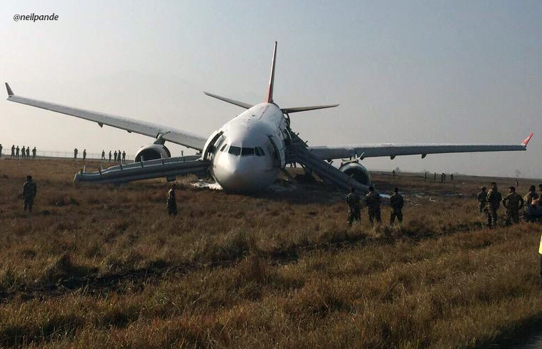
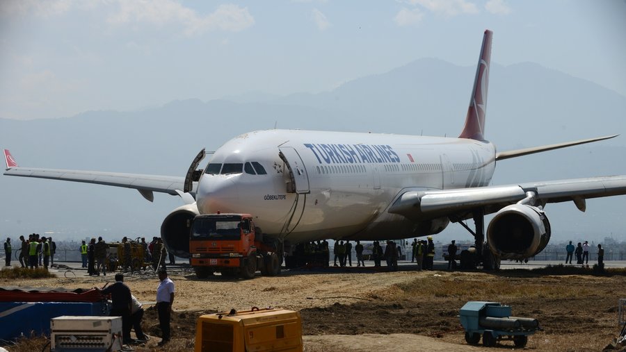
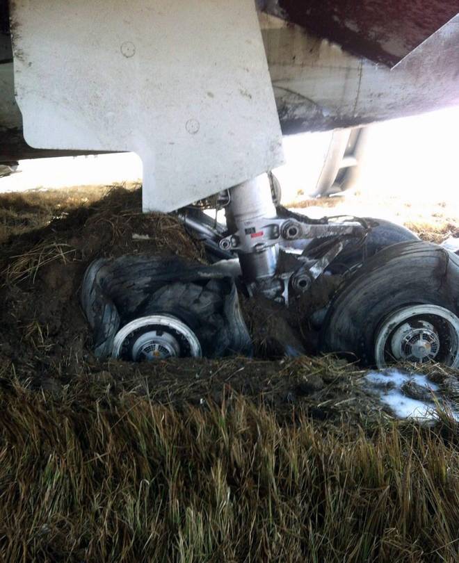
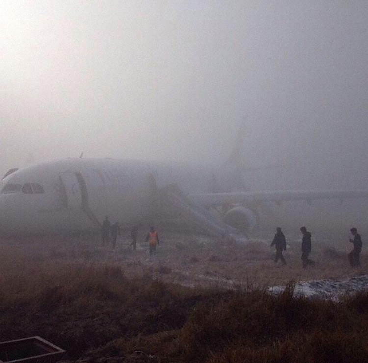
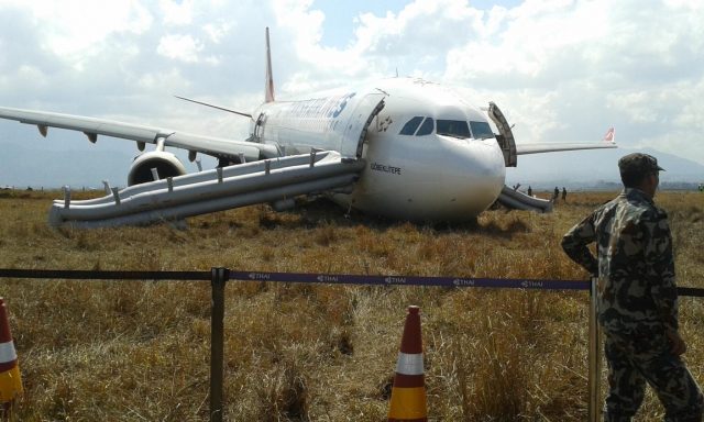
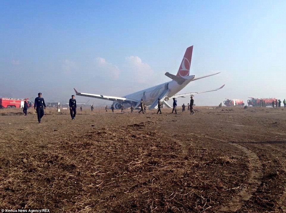
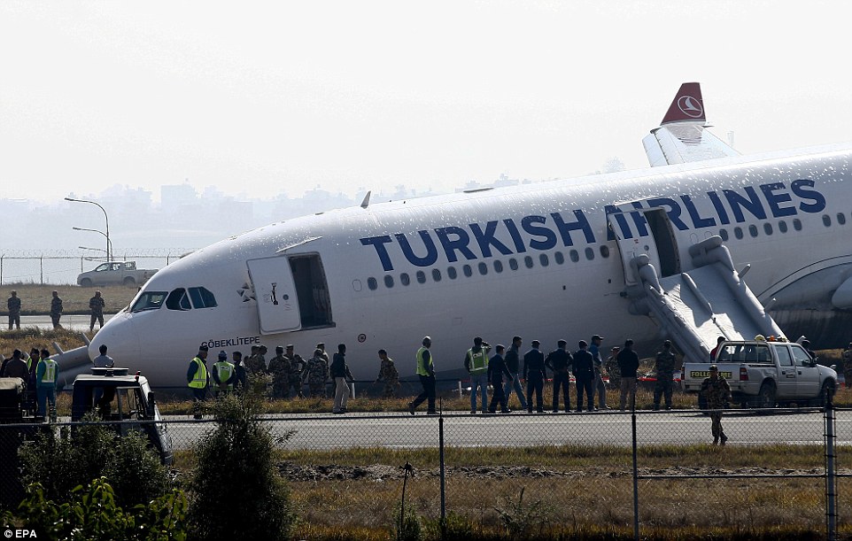
The aircraft departed Istanbul at 1818LT on March 3 on a scheduled flight to Tribhuvan International Airport (TIA), Kathmandu with 11 crew members and 224 passengers .The aircraft started contacting Kathmandu Control from 00:02 hrs to 00:11hrs while the aircraft was under control of Varanasi and descending to FL 250 but there was no response because Kathmandu Control was not yet in operation. The airport opened at its scheduled time of 00:15hrs. The aircraft established its first contact with Kathmandu Approach at 00:17 hrs and reported holding over Parsa at FL 270. Kathmandu Approach reported visibility 100 meters and airport status as closed. At 00:22 hrs the aircraft requested to proceed to Simara due to moderate turbulence. The Kathmandu Approach instructed the aircraft to descend to FL 210 and proceed to Simara and hold. At 01:05 hrs when Kathmandu Approach provided an updated visibility of 1000 meters and asked the flight crew of their intentions, the flight crew reported ready for RNAV (RNP) APCH for runway 02. The aircraft was given clearance to make an RNP AR APCH. At 01:23 hrs when the aircraft reported Dovan, Kathmandu Approach instructed the flight crew to contact Kathmandu Tower. Kathmandu Tower issued a landing clearance at 01:24 hrs and provided wind information of 100° at 03 knots. At 01:27 hrs the aircraft carried out a missed approach due to lack of visual reference. The aircraft was given clearance to proceed to RATAN hold via MANRI climbing to 10500 feet as per the missed approach procedure. During the missed approach the aircraft was instructed to contact Kathmandu Approach. At 01:43 hrs the aircraft requested the latest visibility to which Kathmandu Approach provided visibility 3000 m and Kathmandu Tower observation of 1000 meters towards the south east and few clouds at 1000 ft, SCT 2000 ft and BKN 10,000 feet. When the flight crew reported their intention to continue approach at 01:44 hrs, Kathmandu Approach cleared the aircraft for RNAV RNP APCH runway 02 and instructed to report RATAN. The aircraft reported crossing 6700 ft at 01:55 hrs to Kathmandu Tower. Kathmandu Tower cleared the aircraft to land and provided wind information of 160° at 04 kts. At 01:57 hrs Kathmandu Tower asked the aircraft if the runway was insight. The aircraft responded that they were not able to see the runway but were continuing the approach. The aircraft was at 880 ft AGL at that time. At 783 ft AGL the aircraft asked Kathmandu Tower if the approach lights were on. Kathmandu Tower informed the aircraft that the approach lights were on at full intensity. The auto-pilots remained coupled to the aircraft until 14 ft AGL, when it was disconnected, a flare was attempted. The maximum vertical acceleration recorded on the flight data recorder was approximately 2.7 G. The aircraft pitch at touchdown was 1.8 degree nose up up which is lower than a normal flare attitude for other landings. From physical evidence recorded on the runway and the GPS latitude and longitude coordinate data the aircraft touched down to the left of the runway centerline with the left hand main gear off the paved runway surface. The aircraft crossed taxiways E and D and came to a stop on the grass area between taxiway D and C with the heading of the aircraft on rest position being 345 degrees (North North West) and the position of the aircraft on rest position was at N 27° 41' 46", E 85° 21'29" At 02:00 hrs Kathmandu Tower asked if the aircraft had landed. The aircraft requested medical and fire assistance reporting its position at the end of the runway. At 02:03 hrs the aircraft requested for bridge and stairs to open the door and vacate passengers instead of evacuation. The fire and rescue team opened the left cabin door and requested the cabin attendant as well as to pilot through Kathmandu Tower to deploy the evacuation slides. At 02:10 hrs evacuation signal was given to disembark the passengers. All passengers were evacuated safely and later, the aircraft was declared as damaged beyond repair.
Probable cause:
The probable cause of this accident is the decision of the flight crew to continue approach and landing below the minima with inadequate visual reference and not to perform a missed approach in accordance to the published approach procedure. Other contributing factors of the accident are probable fixation of the flight crew to land at Kathmandu, and the deterioration of weather conditions that resulted in fog over the airport reducing the visibility below the required minima. The following findings were reported:
- On March 2, 2015 i.e. two days before the accident, the crews of the flight to Kathmandu reported through RNP AR MONITORING FORM that all the NAV. accuracy and deviation parameter were perfectly correct at MINIMUM but the real aircraft position was high (PAPI 4 whites) and left offset,
- The airlines as well as crews were unaware of the fact that wrong threshold coordinates were uploaded on FMGS NAV data base of the aircraft,
- The flight crew was unable to get ATIS information on the published frequency because ATIS was not operating. ATIS status was also not included in the Daily Facilities Status check list reporting form of TIA Kathmandu,
- Turkish Airlines Safety Department advised to change the scheduled arrival time at Kathmandu Airport,
- It was the first flight of the Captain to Kathmandu airport and third flight but first RNAV (RNP) approach of the Copilot,
- Both approaches were flown with the auto-pilots coupled,
- Crew comments on the CVR during approach could be an indication that they (crews) were tempted to continue to descend below the decision height despite lack of adequate visual reference condition contrary to State published Standard Instrument Arrival and company Standard Operating procedures with the expectation of getting visual contact with the ground,
- The flight crew were not visual with the runway or approach light at MDA,
- The MET Office did not disseminate SPECI representing deterioration in visibility according to Annex 3,
- The Approach Control and the Kathmandu Tower did not update the aircraft with its observation representing a sudden deterioration in visibility condition due to moving fog,
- The Air Traffic Control Officers are not provided with refresher training at regular interval,
- CAAN did not take into account for the AIRAC cycle 04-2015 from 05 Feb 2015 to 04 March 2015 while cancelling AIP supplement,
- The auto-pilots remained coupled to the aircraft until 14ft AGL when it was disconnected and a flare was attempted,
- The crews were not fully following the standard procedure of KTM RNAV (RNP) Approach and company Standard Operating procedures.
Final Report:
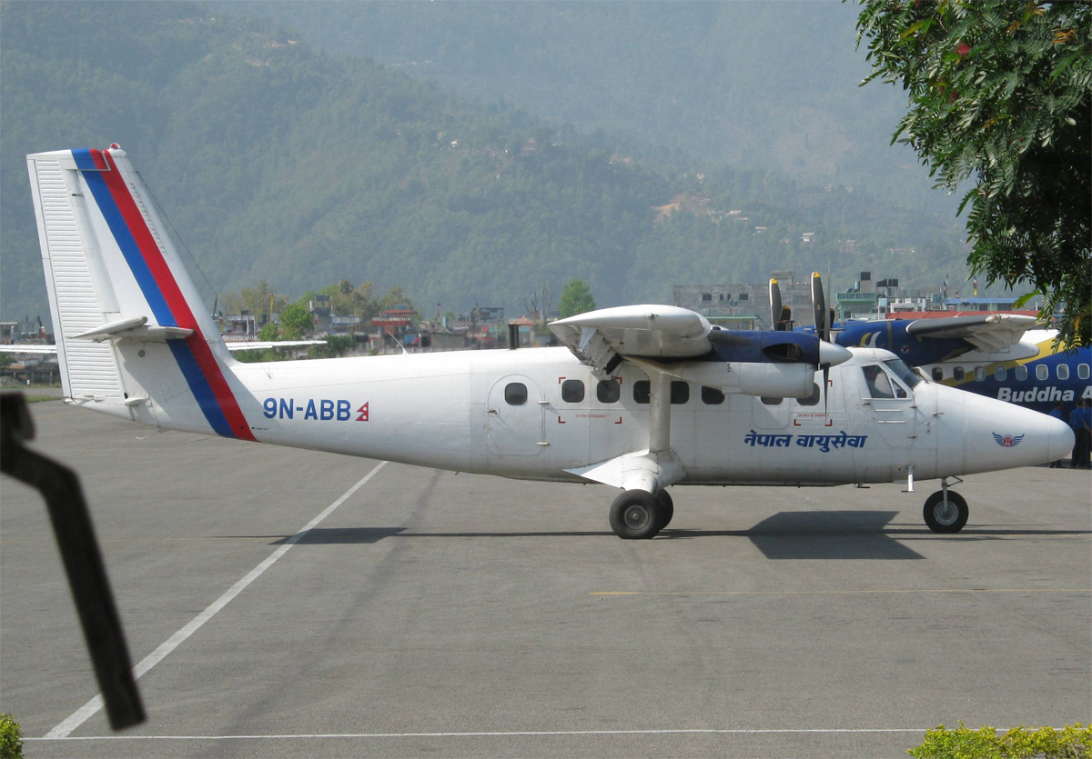
Crash of a De Havilland DHC-6 Twin Otter 300 near Dihidanda: 18 killed

Date & Time: Feb 16, 2014 at 1330 LT
Operator:
Registration:
9N-ABB
Flight Phase:
Survivors:
No
Site:
Schedule:
Pokhara – Jumla
MSN:
302
YOM:
1971
Flight number:
RNA183
Country:
Region:
Crew on board:
3
Crew fatalities:
Pax on board:
15
Pax fatalities:
Other fatalities:
Total fatalities:
18
Captain / Total flying hours:
8373
Captain / Total hours on type:
8131.00
Copilot / Total flying hours:
365
Aircraft flight hours:
43947
Aircraft flight cycles:
74217
Circumstances:
On 16 February 2014, the Twin Otter (DHC6/300) aircraft with registration number 9N-ABB, owned and operated by Nepal Airlines Corporation (NAC), departed Kathmandu at 0610 UTC (1155 LT) on its schedule flight to Jumla carrying 18 persons on board including 3 crews. Detailed sectors to be covered by the flight No. RA 183/718 was Kathmandu–Pokhara–Jumla-Nepālganj (Night stop). Flight from Kathmandu to Pokhara completed in normal condition. After 17 minutes on ground at Pokhara airport and refueling 9N-ABB departed Pokhara at 0658 for Jumla. After Jumla flight, the aircraft was scheduled to Night stop at Nepālganj. Next day it was to do a series of shuttle flights from Nepālganj. Prevailing westerly weather had a severe impact on most of the domestic flights since last two days. A.M.E. of Engineering Department of NAC who had performed D.I. of 9N ABB had mentioned in his written report to the Commission that he had reminded the diversion of Bhojpur flight of NAC due weather and asked the Captain whether he had weather briefing of the Western Nepal or not. In response to the AME's query the Captain had replied casually that- "weather is moving from west to east and now west is improving". Pilots behavior was reported normal by the ground staffs of Kathmandu and Pokhara airports prior to the commencement of flight on that day. All the pre and post departure procedure of the flight were completed in normal manner. Before departure to Jumla from Pokhara, Pilots obtained Jumla and Bhairahawa weather and seems to be encouraged with VFR Weather at both stations. However, they were unable to make proper assessment of en route weather. PIC decided to remain south of track to avoid the terrain and weather. CVR read out revealed that pilots were aware and concerned about the icing conditions due to low outside air temperature. After around 25 minutes, probably maneuvering to avoid weather, the PIC instructed the co-pilot to plan a route further south of their position, to fly through the Dang valley. The copilot selected Dang in the GPS, on a bearing of 283°, and determined the required altitude was 8500ft. He then raised concerns that the aircraft may not have enough fuel to reach the planned destination. Approximately two and a half minutes before the accident, the PIC initiated a descent, and the copilot advised against this. As per CVR read out, last heading recorded by copilot, approximately one minute before the crash, was 280. The last one minute was a very critical phase of the flight during which PIC said I am entering (perhaps inside the cloud). At that time copilot called Bhairahawa Tower on his own and got latest Bhairahawa weather. While copilot was transmitting its last position report to Bhairahawa Control Tower (approximately 25 miles from Bhairahawa), PIC interrupted and declared to divert Bhairahawa. Bhairahawa Control Tower wanted the pilots to confirm their present position. But crews were very much occupied and copilot said STANDBY. Just few seconds before crash copilot had told PIC not to descend. Copilot also suggested PIC in two occasions - sir don't turn. Very unfortunately aircraft was crashed. The aircraft disintegrated on impact and all 18 occupants were killed.
Probable cause:
Controlled flight into terrain after the pilot-in-command lost situation awareness while cruising in IMC.
The following factors were considered as contributory:
- Deteriorated weather associated with western disturbance, unstable in nature and embedded CB,
- Inappropriate and insufficient crew coordination while changing course of action.
Final Report:
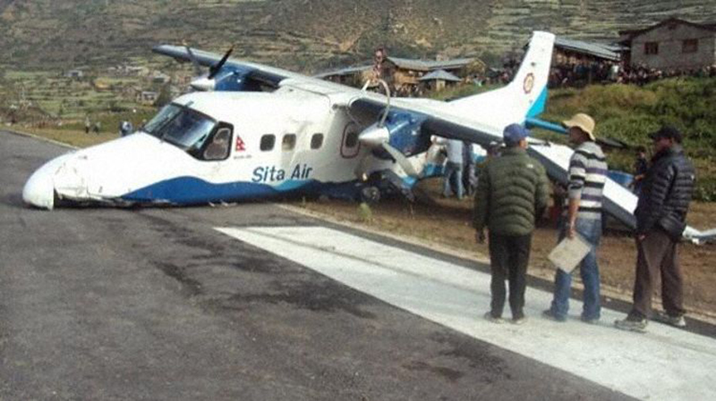
Crash of a Dornier DO228-202K in Simikot

Date & Time: Jun 1, 2013 at 0714 LT
Type of aircraft:
Operator:
Registration:
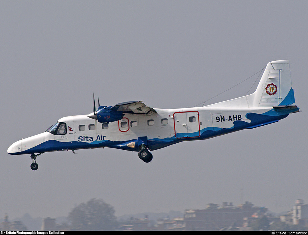
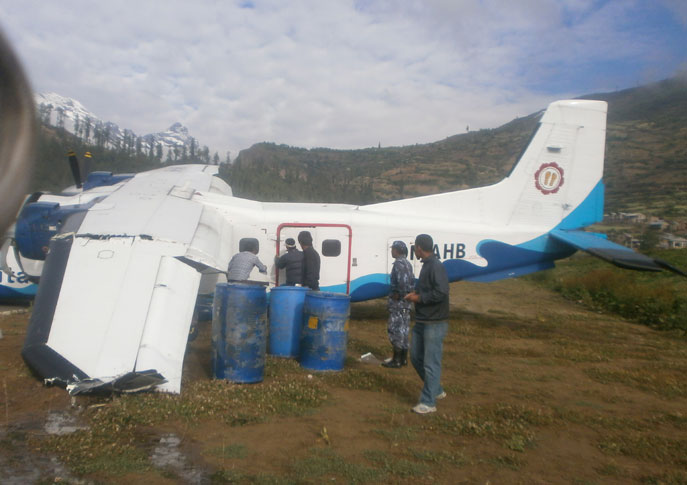
9N-AHB
Survivors:
Yes
Schedule:
Nepalgunj - Simikot
MSN:
8169
YOM:
1989
Location:
Country:
Region:
Crew on board:
2
Crew fatalities:
Pax on board:
5
Pax fatalities:
Other fatalities:
Total fatalities:
0
Circumstances:
The twin engine aircraft was completing a charter flight from Nepalgunj to Simikot, carrying two pilots and five passengers. On approach to Simikot Airport, ground fog and low visibility forced the crew to initiate a go-around procedure. A second and a third attempt to land were abandoned few minutes later. During the fourth attempt to land, without sufficient visual contact with the ground, the crew continued the approach, passed through the clouds when the aircraft landed hard short of runway 28. Upon impact, the undercarriage were torn off and the aircraft slid for few dozen metres, veered to the right and came to rest on the right side of the runway with its left wing broken in two. All seven occupants escaped uninjured and the aircraft was damaged beyond repair.

Crash of a De Havilland DHC-6 Twin 300 Otter in Jomsom

Date & Time: May 16, 2013 at 0833 LT
Operator:
Registration:
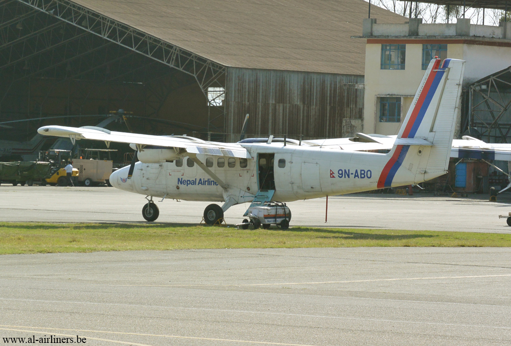
9N-ABO
Survivors:
Yes
Schedule:
Pokhara - Jomsom
MSN:
638
YOM:
1979
Flight number:
RNA555
Country:
Region:
Crew on board:
3
Crew fatalities:
Pax on board:
18
Pax fatalities:
Other fatalities:
Total fatalities:
0
Captain / Total flying hours:
8451
Captain / Total hours on type:
8131.00
Copilot / Total flying hours:
1396
Copilot / Total hours on type:
1202
Aircraft flight hours:
32291
Aircraft flight cycles:
54267
Circumstances:
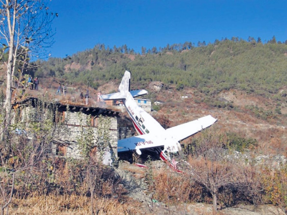
The Twin Otter (DHC6/300) aircraft with registration number 9N-ABO, owned and operated by Nepal Airlines Corporation (NAC), departed Kathmandu to Pokhara for night stop on 15 May 2013 in order to accomplish up to 5 (five) Pokhara-Jomsom-Pokhara charter flights planned for the subsequent day on 16 May 2013. As per the programme, the aircraft completed first charter flight from Pokhara to Jomsom sector on 16 May 2013 morning after one and half hour waiting on ground due weather. For this second flight, the aircraft departed at 0225 UTC (08:10LT) from Pokhara to Jomsom in the command of Capt. Dipendra Pradhan and Mr. Suresh K.C. as co-pilot. There were 19 passengers including one infant and 3 crew members on board. The aircraft was operating under Visual Flight Rules (VFR). As per the CVR readout there was no reported difficulties and all the pre and post departure procedure and en-route portion of the flight were completed in normal manner. There was no indication of lacking of information and advice from Jomsom Tower. At first contact the co-pilot called Jomsom Tower and reported its position at PLATO (a compulsory reporting point) at 9 miles from Jomsom airport at 12500ft. AMSL. The Jomsom Tower advised runway 24 wind south westerly 08-12 KTS, QNH 1020, Temp 13 degree and advised to report downwind for runway 24.The co-pilot accepted by replying to join downwind for runway 24. There was no briefing and discussion between the two pilots regarding the tail wind at the airport. The PIC, then, took over the communication function from co-pilot and called Jomsom Tower, requesting to use runway 06 instead of runway 24, despite the advice of tower to use runway 24 to avoid tail wind effect in runway 06. Jomsom Tower repeated the wind speed to be 08-12 KTS for the runway 06, to which the PIC read back the wind and answered to have ”no problem”. As per the PIC request the Jomsom Tower designated runway 06 for landing and advised to report on final runway 06. The PIC did read back the same. The pre landing checklist was used, flaps with full fine in propeller rpm were taken and full flaps was also taken before touchdown. In the briefing of “missed approach” the PIC had answered to be “standard”. The aircraft touched down runway of Jomsom airport at 0245 UTC (08:30LT) at a distance of approximately 776 ft, far from the threshold of runway 06. After rolling 194 ft. in the runway, the aircraft left runway and entered grass area in the right side. The aircraft rolled around 705 ft in the grass area and entered the runway again. The maximum deviation from the runway edge was 19 ft. The Commission has observed that when aircraft touched down the runway, it was not heading in parallel to the runway centreline. After touchdown the aircraft rolled around 194ft on the runway, left the paved area and started rolling in the grass area in the right side. During the landing roll, when the aircraft was decelerating, the co-pilot had raised the flaps as per the existing practice of carrying out “after the landing “checks". As per the observation of passenger seated just behind the cockpit, after touchdown of the aircraft there was no communication between pilot and co-pilot. It seemed that pilot was busy in cockpit and facing problem. It was obvious that PIC was in dilemma in controlling aircraft. He added power to bring aircraft into the runway with an intention to lift up the aircraft. He did not brief anything to copilot about his intention and action. He started adding power with the intention of lifting up, but the aircraft was already losing its speed, due to extension of flaps by co-pilot without briefing to PIC and use of brakes (light or heavy, knowingly and unknowingly) simultaneously by the PIC. The accelerating aircraft with insufficient speed and lift to take off ran out of the runway 24 end, continued towards the river, hit the barbed fence and gabion wall with an initial impact and finally fell down into the edge of river. The left wing was rested in the mid of the river preventing the aircraft submerged into the river.
Probable cause:
The Accident Investigation Commission has determined the most probable cause of the accident as the inappropriate conduct of STOL procedure and landing technique carried out by the PIC, during landing phase and an endeavor to carry out take off again with no sufficient airspeed, no required lifting force and non availability of required runway length to roll. Contributory factors to the occurrence is the absence of proper CRM in terms of communication, coordination and briefing in between crew members on intention and action being taken by PIC, during pre and post landing phase.
Final Report:
Crash of a Dornier DO228-202 in Kathmandu: 19 killed

Date & Time: Sep 28, 2012 at 0618 LT
Type of aircraft:
Operator:
Registration:
9N-AHA
Flight Phase:
Survivors:
No
Schedule:
Kathmandu - Lukla
MSN:
8123
YOM:
1987
Flight number:
SIT601
Country:
Region:
Crew on board:
3
Crew fatalities:
Pax on board:
16
Pax fatalities:
Other fatalities:
Total fatalities:
19
Captain / Total flying hours:
8308
Captain / Total hours on type:
7112.00
Copilot / Total flying hours:
772
Copilot / Total hours on type:
519
Circumstances:
A Dornier 228 aircraft, registration 9N-AHA, was planned to operate a flight from Tribhuvan International Airport (TIA), Kathmandu, to Tensing/Hillary Airport, Lukla with 16 passengers and 3 crews. The Commander was the Pilot Flying (PF) which was in accordance with common practice for flight crews operating this route. The 0020Z METAR for TIA reported calm wind, 3,000 m visibility in mist, scattered cloud at 2,000 ft AAL, broken cloud at 10,000 ft AAL, a temperature of 19° C and a QNH of 1017 HPa. ATC broadcast a change in the QNH to 1018 HPa at 0029 hrs. At 0028 hrs (0613 am), the Co-pilot asked ATC for taxi clearance and 9N-AHA taxied towards Intersection 2 for Runway 20. While taxiing towards the runway the flight crew carried out the before takeoff checklist during which the Commander confirmed that Flaps 1 was set and all four booster pumps were ON. There was no emergency brief or discussion about the reference speeds to be used during the takeoff. The flight crew changed frequency and contacted the tower controller who gave them clearance to enter Runway 20 from the intersection and wait for clearance to takeoff. The Commander asked for the line-up checks to be completed during which the Speed Lever was selected to HIGH. After lining up, the Commander said "THERE IS A BIRD" and, three seconds later "I WILL TAKE FLAPS TWO" which was acknowledged by the co-pilot. The aircraft was cleared for departure and began its takeoff run at 0032 hrs. Two seconds after beginning the takeoff roll, the Commander said "WATCH OUT THE BIRD". The Co-pilot called "50 KNOTS " as the aircraft approached 50 kt and the Commander replied "CHECK". Two seconds later, the co-pilot called "BIRD CLEAR SIR" as the aircraft accelerated through 58 kt. Approaching 70 kt, approximately 13 kt below V1 and Vr , the first officer called "VEE ONE ROTATE". The aircraft began to rotate but did not lift off the ground and the nose was briefly lowered again. As the aircraft reached 86 kt, it lifted off the ground and the landing gear was raised immediately. As the aircraft began to climb, it accelerated to 89 kt over approximately 2 seconds. It continued to climb to 100 ft above the runway over the next 11 seconds but, during this time, the speed decreased to 77 kt. The aircraft then flew level for 14 seconds during which time the following occurred: the speed decreased to 69 kt; the air traffic controller asked "ANY TECHNICAL?" to which the pilot replied "[uncertain]….DUE BIRD HIT"; it's heading changed slowly from 200 °M to approximately 173 °M; and the stall warning was triggered for three seconds as the aircraft decelerated through 71 kt. Two seconds after the stall warning ended, it was triggered again for approximately six seconds with the airspeed at 69 kt. The aircraft began a gentle descent at 69 kt with the stall warning sounding and the rate of turn to the left increased rapidly. It departed controlled flight, most probably left wing low, and crashed into a small open area 420 m south-east of the end of Runway 20. A runway inspection found the remains of a bird, identified as a "Black Kite", at a position 408 m from Intersection 2. No bird strike was reported in relation to any other departure.
Probable cause:
Causal Factors:
The investigation identified the following causal factors:
1. During level flight phase of the aircraft, the drag on the aircraft was greater than the power available and the aircraft decelerated. That resulted in excessive drag in such critical phase of ascent lowering the required thrust. The investigation was unable to determine the reason for the reduced thrust.
2. The flight crew did not maintain the airspeed above the stall speed and there was insufficient height available to recover when the aircraft departed controlled flight.
Contributory Factors:
The investigation identified the following contributory factors:
1. The flight crew did not maintain V2 during the climb and so the power required to maintain the level flight was greater than it would otherwise have been.
2. The flight crew did not maintain the runway centreline which removed the option of landing the aircraft on the runway remaining.
Final Report:
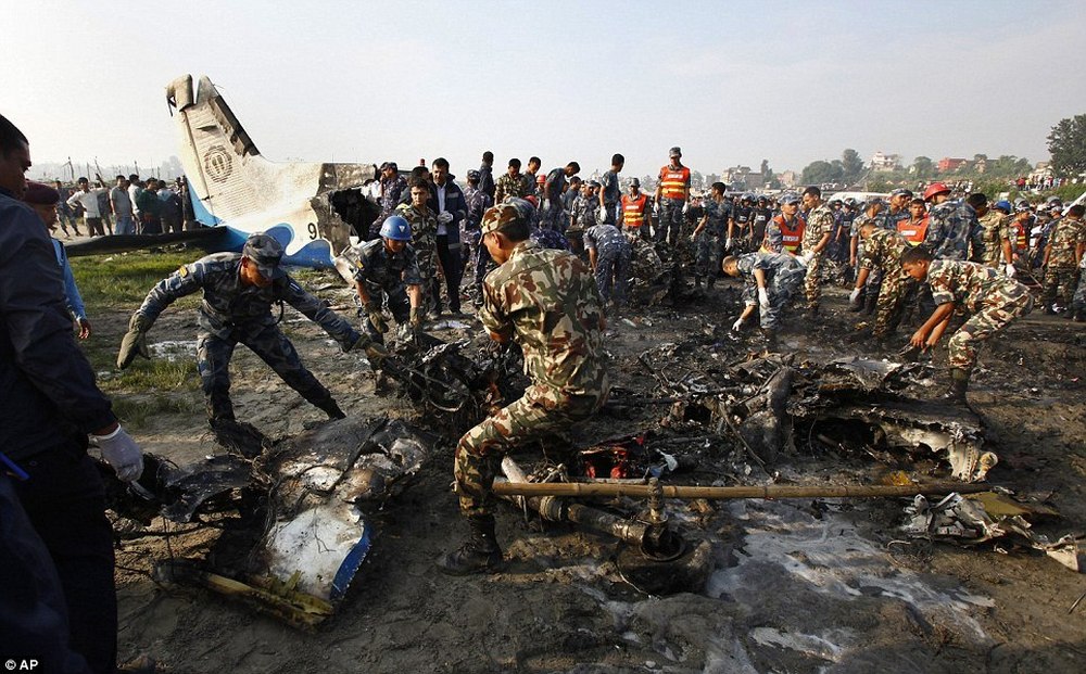
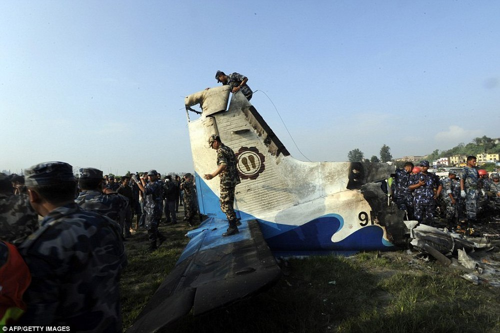
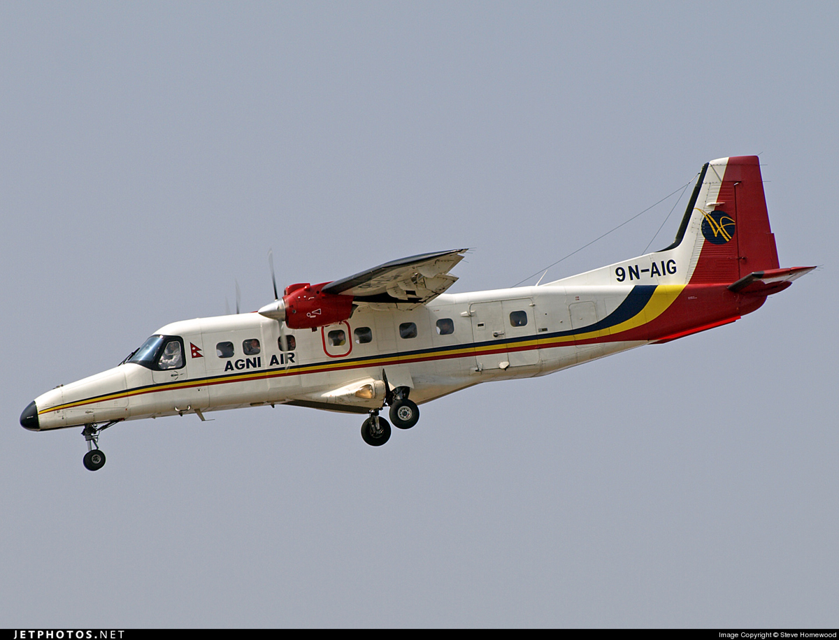
Crash of a Dornier DO228-212 in Jomsom: 15 killed

Date & Time: May 14, 2012 at 0945 LT
Type of aircraft:
Operator:
Registration:
9N-AIG
Survivors:
Yes
Schedule:
Pokhara - Jomsom
MSN:
8216
YOM:
1997
Flight number:
AG-CHT
Country:
Region:
Crew on board:
3
Crew fatalities:
Pax on board:
18
Pax fatalities:
Other fatalities:
Total fatalities:
15
Captain / Total flying hours:
5776
Captain / Total hours on type:
596.00
Circumstances:
On final approach to Jomsom Airport runway 06, the crew lowered the landing gear when they noticed a technical issue. On short final, the captain decided to initiate a go-around procedure and to divert to Pokhara. He made a sharp U-turn to the left at a speed of 73 knots when the left wing impacted a rocky hill located 270 meters above the runway 24 threshold. The aircraft stalled and crashed on the slope of the hill and was destroyed by impact forces. The stewardess and five passengers were seriously injured while all 15 other occupants, among them both pilots, were killed.
Probable cause:
The captain took the decision to make a sharp turn to the left at 73 knots without considering the turn radial and the rising terrain, which resulted in a continuous stall warning during the remaining 12 seconds of flight. The left hand wing of the aircraft struck a rock and the aircraft crashed. The decision of the captain to initiate a turn to the left at this stage of the flight was against all published procedures. It was reported that the commander was a senior flight instructor employed by the Civil Aviation Authority of Nepal.

Crash of a Cessna 208B Grand Caravan in Talcha

Date & Time: Nov 21, 2011 at 1600 LT
Type of aircraft:
Operator:
Registration:
9N-AJM
Survivors:
Yes
Schedule:
Nepalgunj – Talcha
MSN:
208B-0561
YOM:
1996
Location:
Country:
Region:
Crew on board:
3
Crew fatalities:
Pax on board:
9
Pax fatalities:
Other fatalities:
Total fatalities:
0
Circumstances:
After landing on runway 36 at Talcha Airport, the single engine aircraft veered off runway, went down an embankment and came to rest against a house down the runway. All 12 occupants escaped uninjured while the aircraft was damaged beyond repair. Downdrafts on final approach were reported, and the aircraft seemed to be unstable prior to landing.

Crash of a Britten-Norman BN-2T Islander in Dhorpatan: 6 killed

Date & Time: Oct 18, 2011 at 1906 LT
Type of aircraft:
Operator:
Registration:
RAN-49
Flight Phase:
Flight Type:
Survivors:
No
Site:
Schedule:
Nepalgunj – Kathmandou
MSN:
2191
YOM:
1988
Country:
Region:
Crew on board:
1
Crew fatalities:
Pax on board:
5
Pax fatalities:
Other fatalities:
Total fatalities:
6
Circumstances:
The single engine aircraft was performing an ambulance flight from Nepalgunj to the capital city Kathmandu with a patient, one accompanist, two doctors, a nurse and a pilot on board. It crashed in unknown circumstances in a hilly and wooded terrain near Dhorpatan, killing all six occupants.

Crash of a Beechcraft 1900D in Kathmandu: 19 killed

Date & Time: Sep 25, 2011 at 0731 LT
Type of aircraft:
Operator:
Registration:
9N-AEK
Survivors:
No
Schedule:
Kathmandu - Kathmandu
MSN:
UE-295
YOM:
1997
Flight number:
BHA103
Country:
Region:
Crew on board:
3
Crew fatalities:
Pax on board:
16
Pax fatalities:
Other fatalities:
Total fatalities:
19
Copilot / Total hours on type:
18
Circumstances:
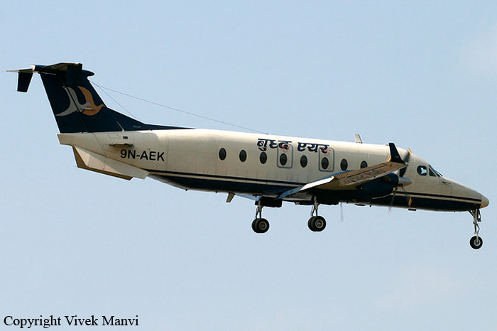
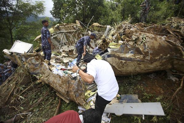
The aircraft was performing a special flight with tourists above the Himalayan mountains and especially a tour of the Everest in the early morning. While returning to Kathmandu-Tribhuvan Airport, the copilot (PIC) was cleared to descend to 6,000 feet for a landing on runway 02. In marginal weather conditions, he passed below 6,000 feet until the aircraft contacted trees and crashed in hilly and wooded terrain located near the village of Bishanku Narayan, some 6,7 km southeast of the airport. The aircraft was destroyed by impact forces and a post crash fire. A passenger was seriously injured while 18 other occupants were killed. Few hours later, the only survivor died from his injuries. The 16 tourists were respectively 10 Indians, 2 Americans, 1 Japanese and 3 Nepalese.
Probable cause:
The Accident Investigation Commission assigned by Nepal's Ministry of Tourism and Civil Aviation have submitted their report to the Ministry. The investigators said in a media briefing, that human factors, mainly fatigue by the captain of the flight, led to the crash. The aircraft was flown by the first officer and was on approach to Kathmandu at 5,000 feet MSL instead of 6,000 feet MSL as required, when it entered a cloud. While inside the cloud in low visibility the aircraft descended, hit tree tops and broke up. The captain had flown another aircraft the previous day and had been assigned to the accident flight on short notice in the morning of the accident day, but did not have sufficient rest. The commission analyzed that due to the resulting fatigue the captain assigned pilot flying duties to the first officer although she wasn't yet ready to cope with the task in demanding conditions. The newly assigned first officer had only 18 hours experience on the aircraft type. The mountain view round trip had to turn back about midway due to weather conditions. While on a visual approach to Kathmandu at 5,000 instead of 6,000 feet MSL the aircraft entered a cloud and started to descend until impact with tree tops. The crew did not follow standard operating procedures, that amongst other details required the aircraft to fly at or above 6,000 feet MSL in the accident area, the interaction between the crew members did not follow standard operating procedures, for example the captain distracted the first officer with frequent advice instead of explaining the/adhering to procedures. The commission said as result of the investigation they released a safety recommendation requiring all operators to install Terrain Awareness and Warning Systems (TAWS) in addition to eight other safety recommendations regarding pilot training, installation of visual aids, safety audit and fleet policies.