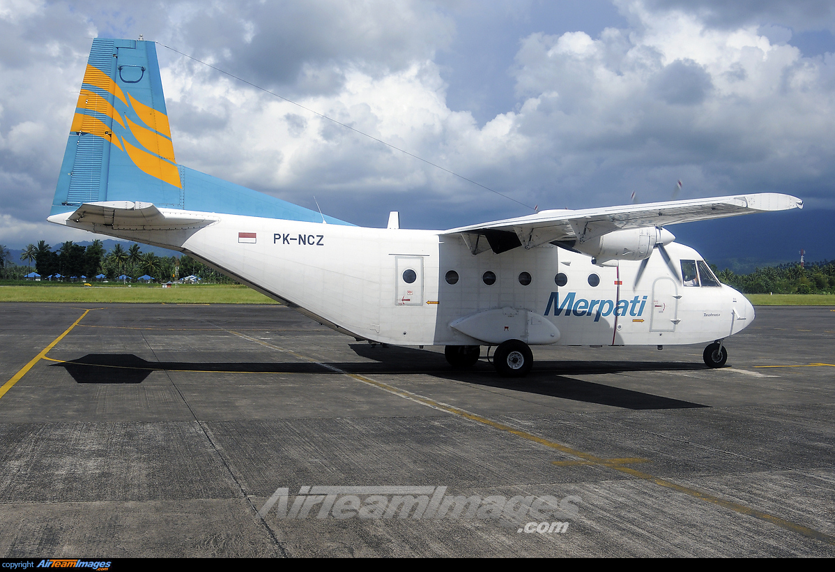
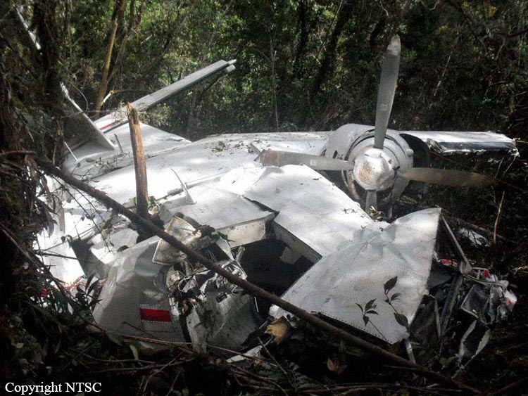
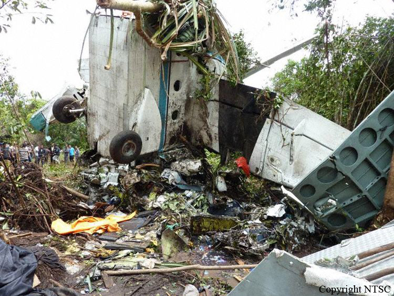
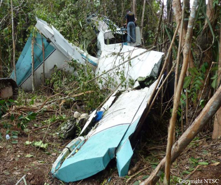
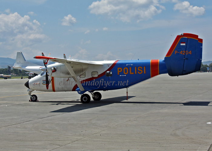
Crash of a Casa 212 Aviocar 200 in Larat
Date & Time:
Dec 3, 2011 at 1308 LT
Operator:

Registration:
PK-NCZ
Survivors:
Yes
Schedule:
Langur - Larat
MSN:
274/79N
YOM:
1986
Flight number:
MNA9933
Crew on board:
4
Crew fatalities:
Pax on board:
19
Pax fatalities:
Other fatalities:
Total fatalities:
0
Captain / Total hours on type:
5500.00
Copilot / Total hours on type:
72
Aircraft flight hours:
26935
Aircraft flight cycles:
30064
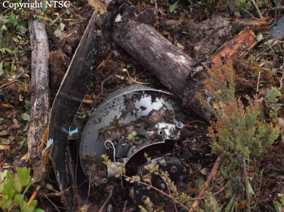
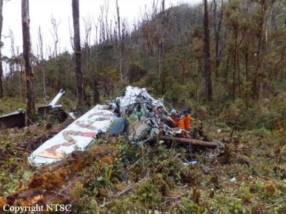
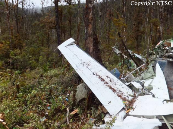
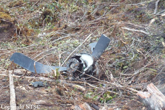
Circumstances:
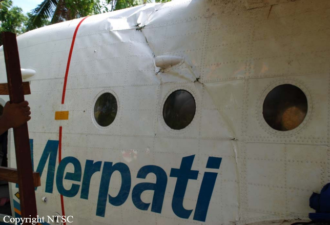
The Casa 212-200 aircraft registered PK-NCZ operated by PT. Merpati Nusantara Airlines on a scheduled flight from Langur to Larat, touched down at 224 meters from runway 09, was bouncing twice to the left of runway centre line, out of the runway and stopped at 607 meters from runway 09 touch down area as final position, and 15 meters to the left of runway edge. The Pilot Flying was First Officer, and after second bouncing, PIC took over, and he tried to bring the aircraft to the centre line of the runway without success. The aircraft continued rolled to the shoulder away from the runway and stopped at the final position. This is the second landing at Larat runway on the same day. There were 15 passengers, 3 children, one baby, Pilot In Command, two First Officers, one First Officer was Pilot Flying from Langur to Larat, one engineer on board. One passenger was serious injured, another one passenger minor injured.
Final Report: