Zone

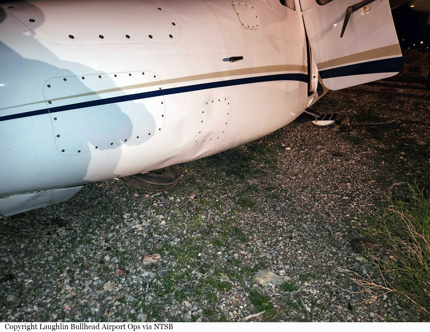
Crash of a Rockwell 690A Turbo Commander in Bullhead City

Date & Time: Mar 6, 2023 at 1945 LT
Registration:
N4PZ
Flight Type:
Survivors:
Yes
Schedule:
Plainview – Henderson
MSN:
690-11269
YOM:
1975
Crew on board:
1
Crew fatalities:
Pax on board:
1
Pax fatalities:
Other fatalities:
Total fatalities:
0
Captain / Total flying hours:
11095
Captain / Total hours on type:
3720.00
Aircraft flight hours:
6643
Circumstances:
The pilot reported that while enroute, a low fuel level annunciation occurred. The pilot subsequently prepared to divert to a nearby airport due to low fuel. Within 2 minutes the left engine shut down, followed by the right. The pilot asked air traffic control for vectors to the nearest airport. The sky conditions were clear with no moon, no horizon and no terrain feature visible. While approaching the airport at approximately 2,000 feet above the runway, the airport runway lighting turned off. The pilot was unable to turn the lights back on and subsequently used the terminal and ramp lights to maneuver the airplane to the runway. The airplane touched down and veered off the runway, which resulted in substantial damage to the fuselage. The pilot reported to a first responder that there were no pre accident mechanical failures or malfunctions with the airplane that would have precluded normal operation and that he ran out of gas.
Probable cause:
The pilot’s improper fuel planning for a cross-country flight, which resulted in fuel exhaustion, a total loss of engine power and subsequent impact with terrain.
Final Report:
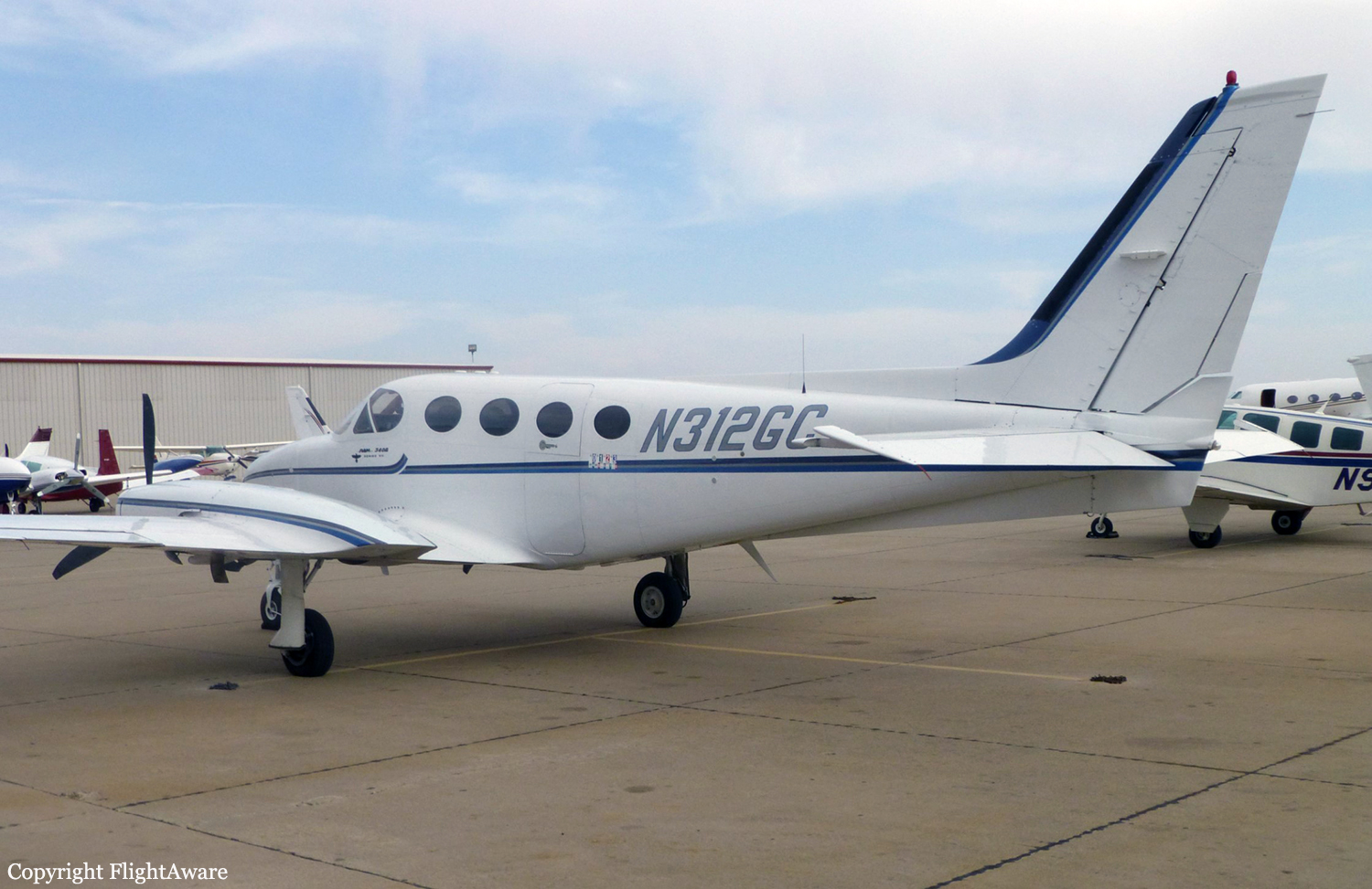
Crash of a Cessna 340A in Paulden: 4 killed

Date & Time: Oct 4, 2013 at 1300 LT
Type of aircraft:
Registration:
N312GC
Flight Phase:
Flight Type:
Survivors:
No
Schedule:
Bullhead City – Prescott
MSN:
340A-0023
YOM:
1975
Location:
Crew on board:
1
Crew fatalities:
Pax on board:
3
Pax fatalities:
Other fatalities:
Total fatalities:
4
Captain / Total flying hours:
4006
Circumstances:
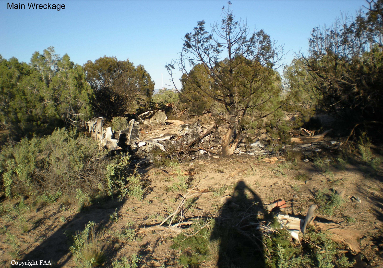
Witnesses located at a gun club reported observing the airplane make a high-speed, low pass from north to south over the club's buildings and then maneuver around for another low pass from east to west. During the second low pass, the airplane collided with a radio tower that was about 50 ft tall, and the right wing sheared off about 10 ft of the tower's top. The tower's base was triangular shaped, and each of its sides was about 2 ft long. One witness reported that the airplane remained in a straight-and-level attitude until impact with the tower. The airplane then rolled right to an almost inverted position and subsequently impacted trees and terrain about 700 ft southwest of the initial impact point. One witness reported that, about 3 to 4 years before the accident, the pilot, who was a client of the gun club, had "buzzed" over the club and had been told to never do so again. A postaccident examination of the engines and the airframe revealed no evidence of a mechanical malfunction or failure that would have precluded normal operation.
Probable cause:
The pilot's failure to maintain sufficient altitude to clear a radio tower while maneuvering at low altitude and his decision to make a high-speed, low pass over the gun club.
Final Report:

Crash of a Cessna 421B Golden Eagle II in Kelso: 5 killed

Date & Time: Oct 29, 2003 at 1222 LT
Registration:
N444AM
Flight Phase:
Flight Type:
Survivors:
No
Schedule:
Bullhead City – Van Nuys
MSN:
421B-0367
YOM:
1973
Crew on board:
1
Crew fatalities:
Pax on board:
4
Pax fatalities:
Other fatalities:
Total fatalities:
5
Captain / Total flying hours:
11371
Captain / Total hours on type:
1237.00
Aircraft flight hours:
3114
Circumstances:
The aircraft broke up in-flight during a high speed descent after encountering clouds and reduced visibilities aloft. The weather conditions included multiple cloud layers at 9,000, 12,000 and 16,000 feet, and reduced visibility aloft from smoke and haze from wilderness wild fires that were occurring over large portions of Southern California. The aircraft departed the airport toward a VORTAC to the west, approximately 30 nautical miles (nm) away. The first radar contact was at 1159, and the aircraft's Mode C transponder reported an altitude of 3,500 feet mean sea level (msl). By the time the aircraft reached the VORTAC, the altitude had increased to 4,900 feet msl. The aircraft continued to climb, passing through the VFR flight plan filed altitude of 8,500 feet msl, until it reached an altitude of 12,900 feet msl. The last 6 minutes of radar data reported the aircraft at various altitudes, starting at 11,000 feet msl and climbing to a maximum altitude of 12,700 feet msl. During the last 3 minutes of flight, radar data showed the aircraft made numerous left and right climbing and descending turns, eventually reversing course. The next to last radar return at 1221:24 indicated an altitude of 11,900 feet msl. Nineteen seconds later, the last radar return reported an altitude of 7,700 feet msl. The computed vertical speed between the last two radar returns was 13,263 feet per minute. The wreckage was distributed over a 0.2-nm distance, with the main wreckage approximately 0.5 miles northwest of the last radar return. The northern end of the debris path began with pieces of the left elevator, followed by sections of the right stabilizer and elevator, and more sections from both horizontal empennage surfaces. Pieces of the vertical stabilizer, rudder, and both ailerons were also found along the debris path. The southern 100 feet of the debris path contained the fuselage and both sets of wings, engines, and propellers. The aircraft impacted the ground inverted. The wings separated just outboard of the nacelles at the initial point of impact. Examination of the wreckage showed that all structural failures were the result of overload.
Probable cause:
The pilot's continued VFR flight into instrument conditions between cloud layers and with reduced visibility due to smoke that resulted in an in-flight loss of control from spatial disorientation, and the structural overload of the airframe during the subsequent high speed descent.
Final Report:

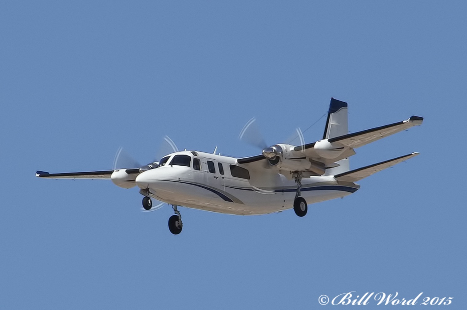
Crash of a Piper PA-61 Aerostar (Ted Smith 601) in Agua Dulce: 3 killed

Date & Time: Oct 20, 2002 at 1300 LT
Registration:
N700US
Flight Phase:
Flight Type:
Survivors:
No
Schedule:
Agua Dulce – Bullhead City
MSN:
61-0652-7962140
YOM:
1979
Crew on board:
1
Crew fatalities:
Pax on board:
2
Pax fatalities:
Other fatalities:
Total fatalities:
3
Captain / Total flying hours:
685
Captain / Total hours on type:
185.00
Aircraft flight hours:
14235
Circumstances:
The airplane crashed into rising terrain after departure from an uncontrolled public airport. The runway used by the pilot is 4,600 feet long and has a 1.8 percent upward gradient. The density altitude was 4,937 feet msl, and a slight quartering tailwind existed at the time. The pilot held in position, powered up the engines, and started his departure. The airplane was observed using most of the runway length before rotation and then it assumed a higher than normal pitch attitude in the initial climb. Witnesses watched the airplane turn left following the route of a canyon and into rising terrain. The reciprocal runway departs towards decreasing elevations. In the area of the crash, two witnesses reported the airplane was at a low altitude, nose high, and wallowing just before it descended into a drainage area 0.69 miles from the runway. Post accident examination of the engines revealed worn camshaft lobes and tappets, which would negatively affect the ability of the engines to produce full rated power. One engine exhibited severe rust on the entire crankshaft. The accident site was located in a canyon, and the wreckage and ground scars was confined to an area about the diameter of the wing span. Major portions of the airframe and most of the engine accessories were consumed by a post accident fire. Examination of the wreckage established that all major components of the airframe and powerplants were at the site.
Probable cause:
The pilot's failure to attain and maintain a sufficient airspeed, which led to an inadvertent stall mush. The pilot's selection of the wrong runway for departure, considering the uphill gradient, the wind direction, and a takeoff path into rising terrain are also causal. The high density altitude and the degraded internal condition of the engines were factors.
Final Report:

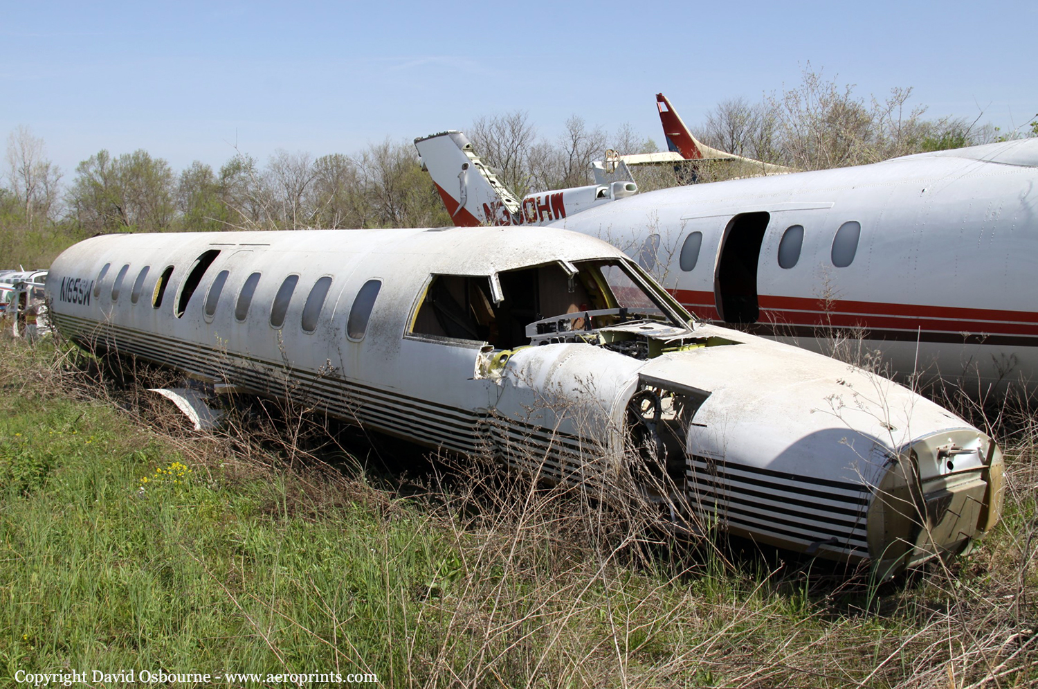
Crash of a Swearingen SA227AC Metro III in Bullhead City

Date & Time: Jan 5, 1997 at 1243 LT
Type of aircraft:
Registration:
N165SW
Survivors:
Yes
Schedule:
Long Beach - Grand Canyon
MSN:
AC-514
YOM:
1982
Crew on board:
2
Crew fatalities:
Pax on board:
19
Pax fatalities:
Other fatalities:
Total fatalities:
0
Captain / Total flying hours:
3200
Captain / Total hours on type:
300.00
Copilot / Total flying hours:
640
Copilot / Total hours on type:
56
Aircraft flight hours:
25111
Circumstances:
After executing a missed approach at the Grand Canyon Airport, the pilots diverted to the Bullhead City Airport. The pilots reported that minimal icing conditions were encountered with about 1/8 inch of ice accumulating on the aircraft wings. The pilots stated they cycled the deice boots to shed ice. They did not observe ice on the propeller spinners, and they did not activate the engines' 'override' ignition systems, as required by the airplane's flight manual. Use of 'override' ignition was required for flight into visible moisture at or below +5 degrees Celsius (+41 degrees Fahrenheit) to prevent ice ingestion/flameouts. Subsequently, both engines flamed out as the airplane was on about a 3 mile final approach for landing with the landing gear and flaps extended. The aircraft was destroyed during an off-airport landing.
Probable cause:
Failure of the pilot(s) to use 'override' ignition as prescribed by checklist procedures during an encounter with icing conditions, which subsequently led to ice ingestion and dual engine flame-outs. Factors related to the accident were: the adverse weather (icing) conditions, the accumulation of airframe/engine ice, and lack of suitable terrain in the emergency landing area.
Final Report:

Crash of a Piper PA-31T-620 Cheyenne II in Riviera

Date & Time: Feb 8, 1984 at 1010 LT
Type of aircraft:
Registration:
N36CA
Flight Phase:
Survivors:
Yes
Schedule:
Bullhead City – Santa Ana
MSN:
31T-7920013
YOM:
1979
Location:
Crew on board:
1
Crew fatalities:
Pax on board:
2
Pax fatalities:
Other fatalities:
Total fatalities:
0
Aircraft flight hours:
1081
Circumstances:
The aircraft lost power on the left engine during climb to cruise approximately 8 minutes after takeoff. Airport manager heard unicom transmission from N36CA, 'we lost an engine, we're coming back.' A warning horn (possibly gear warning or stall horn) was heard in the background of the transmission. When N36CA failed to return the airport manager called the sheriff and began search in his own aircraft. N36CA was located approximately one hour after it's departure. The forced landing was in a flat, wings level attitude with 22° of flaps extended. Initial impact occurred in area of 8 feet high brush. Distance from initial impact to final rest was 595 feet on heading of 140°. Although restrained by lap belt and harness, pilot hit head on copilot's control yoke during the accident. The left eng turbine blade had failed in fatigue. The pilot's son said his father shut down the right engine in-flight and as a result the aircraft had no power on either engine. All three occupants were injured.
Probable cause:
Occurrence #1: loss of engine power (total) - mech failure/malf
Phase of operation: climb - to cruise
Findings
1. (c) turbine assembly,turbine blade - fatigue
2. (c) wrong engine shutdown - performed - pilot in command
3. (c) inadequate training(emergency procedure(s)) - pilot in command
4. (c) turbine assembly,turbine blade - failure,total
5. (c) propeller feathering - not attained - pilot in command
6. (c) emergency procedure - poor - pilot in command
----------
Occurrence #2: forced landing
Phase of operation: descent - emergency
----------
Occurrence #3: in flight collision with terrain/water
Phase of operation: landing - flare/touchdown
Findings
7. (f) terrain condition - high vegetation
Final Report: