Crash of a Cessna 208B Grand Caravan near Simikot: 2 killed
Date & Time:
May 16, 2018 at 0645 LT
Operator:

Registration:
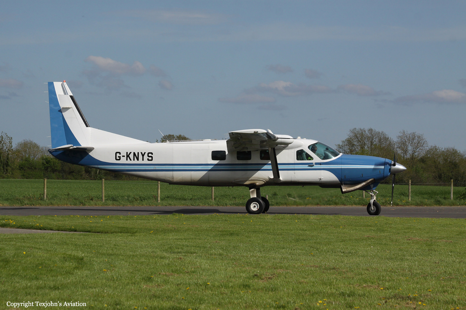
9N-AJU
Survivors:
No
Schedule:
Surkhet – Simikot
MSN:
208B-0770
YOM:
1999
Crew on board:
2
Crew fatalities:
Pax on board:
0
Pax fatalities:
Other fatalities:
Total fatalities:
2
Captain / Total hours on type:
414.00
Copilot / Total hours on type:
461
Aircraft flight hours:
15757
Aircraft flight cycles:
31540
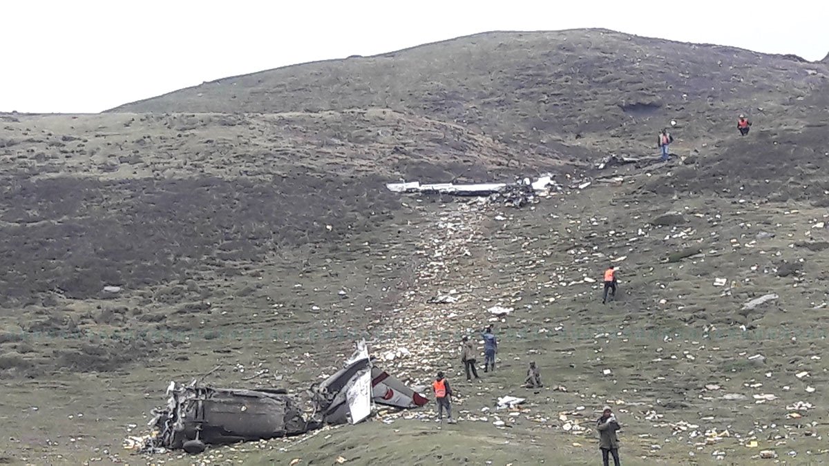
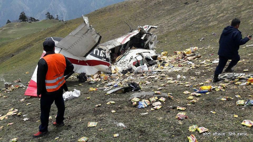
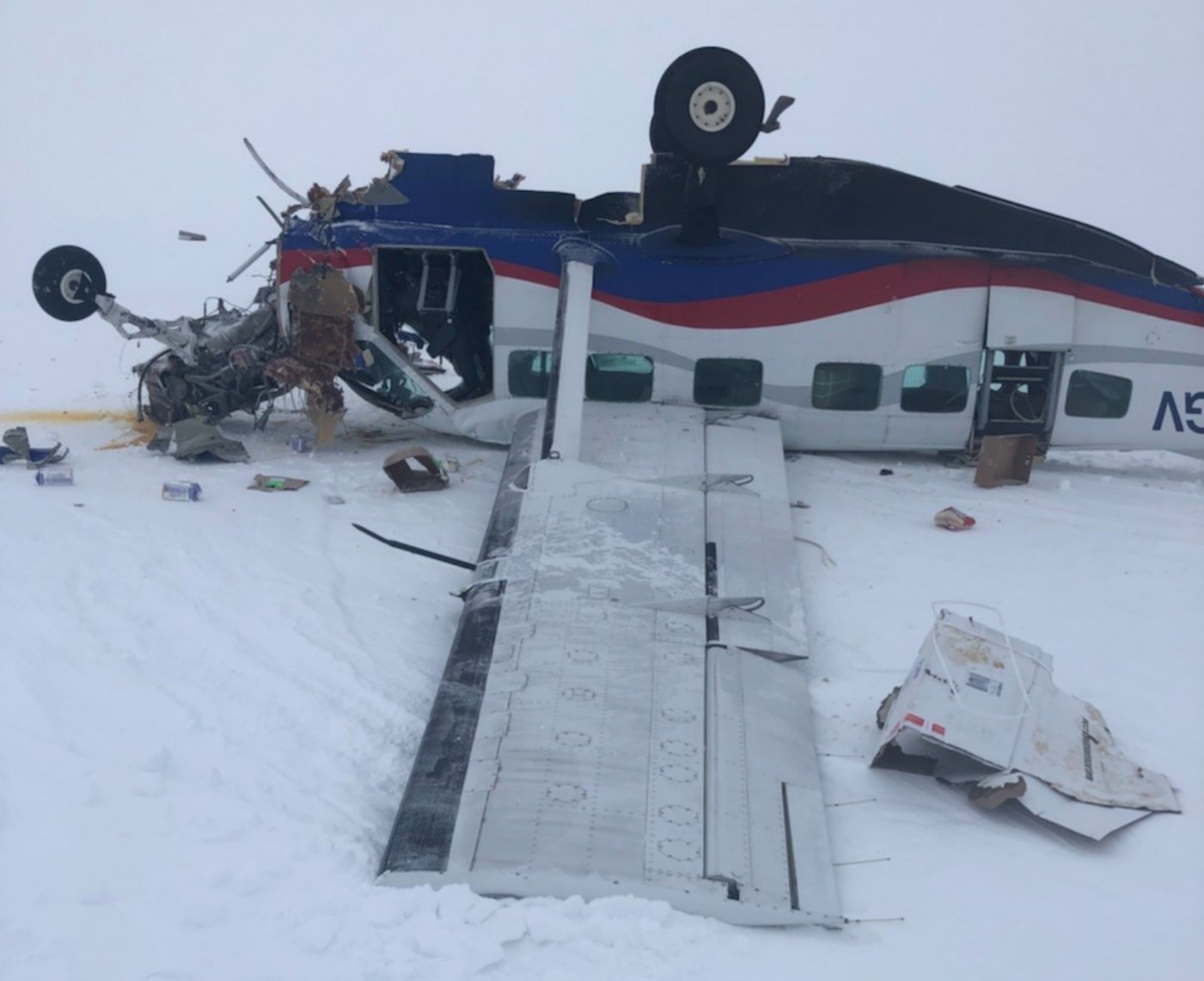
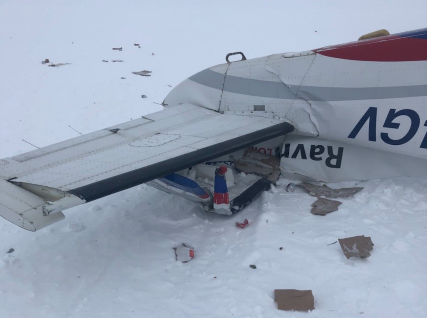
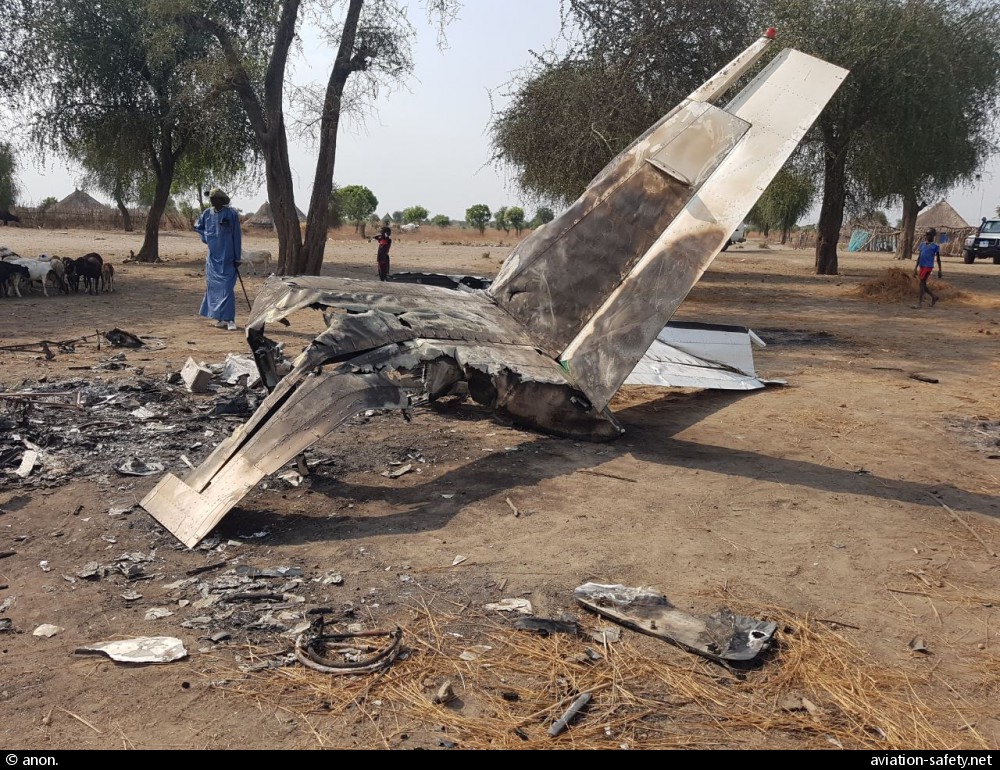
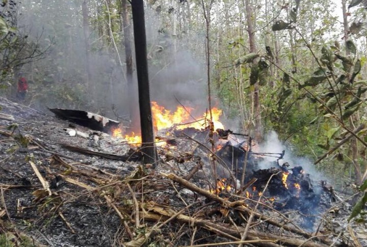
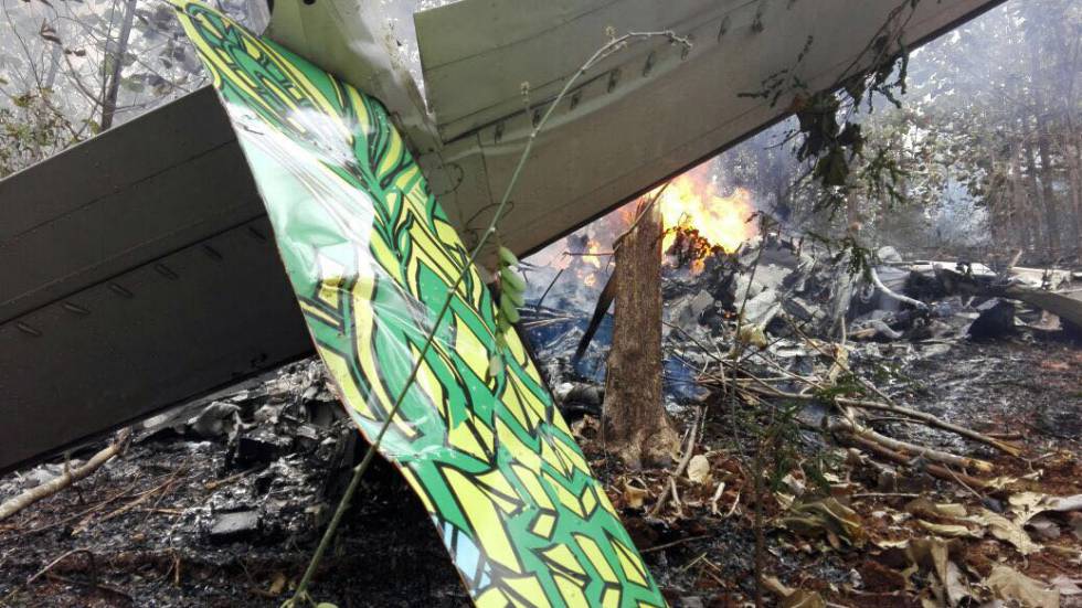
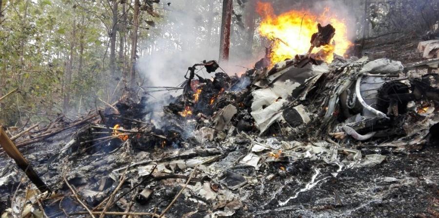
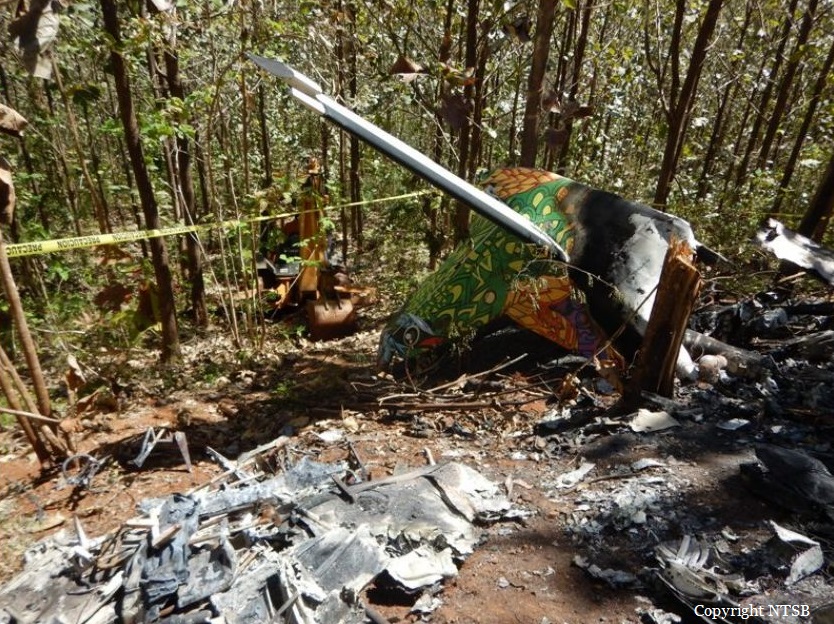
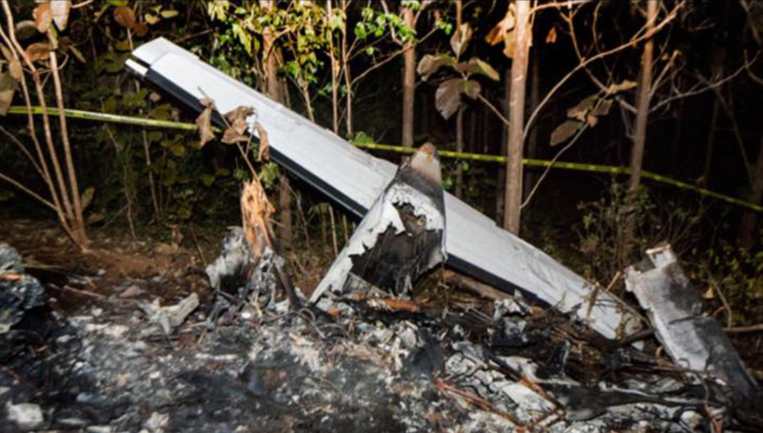
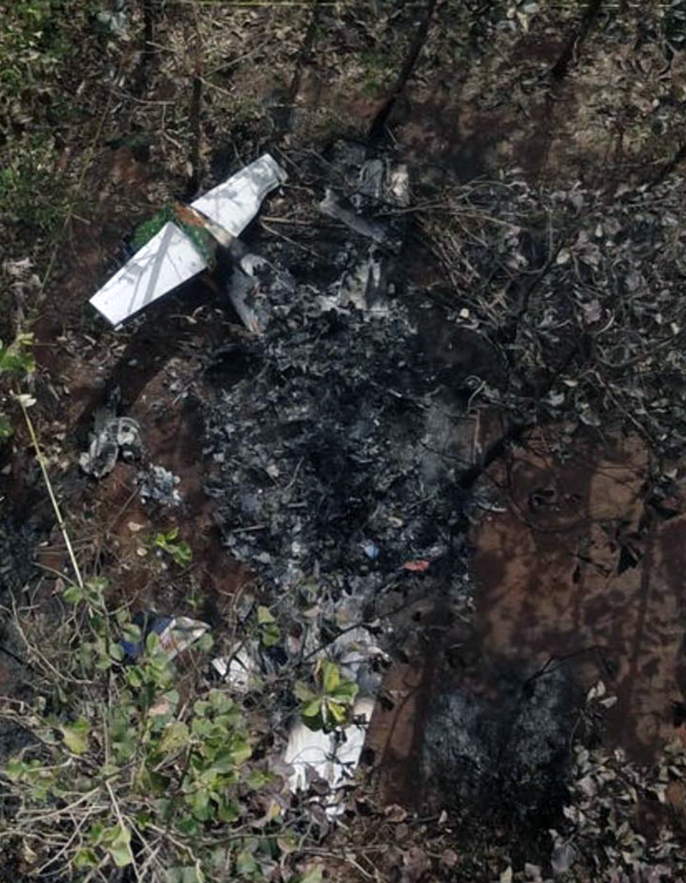
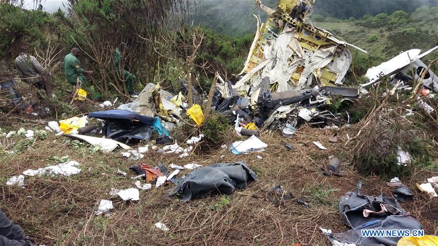
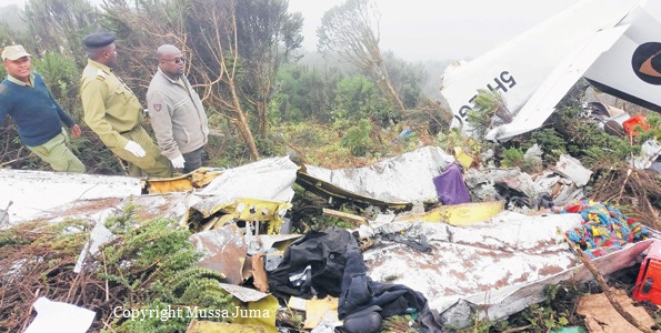
Circumstances:
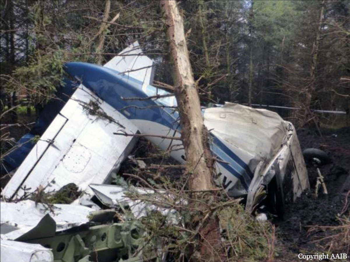
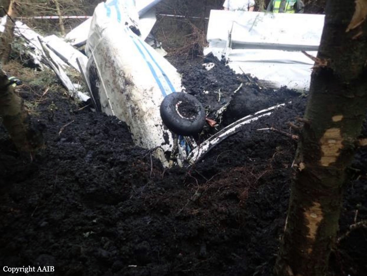
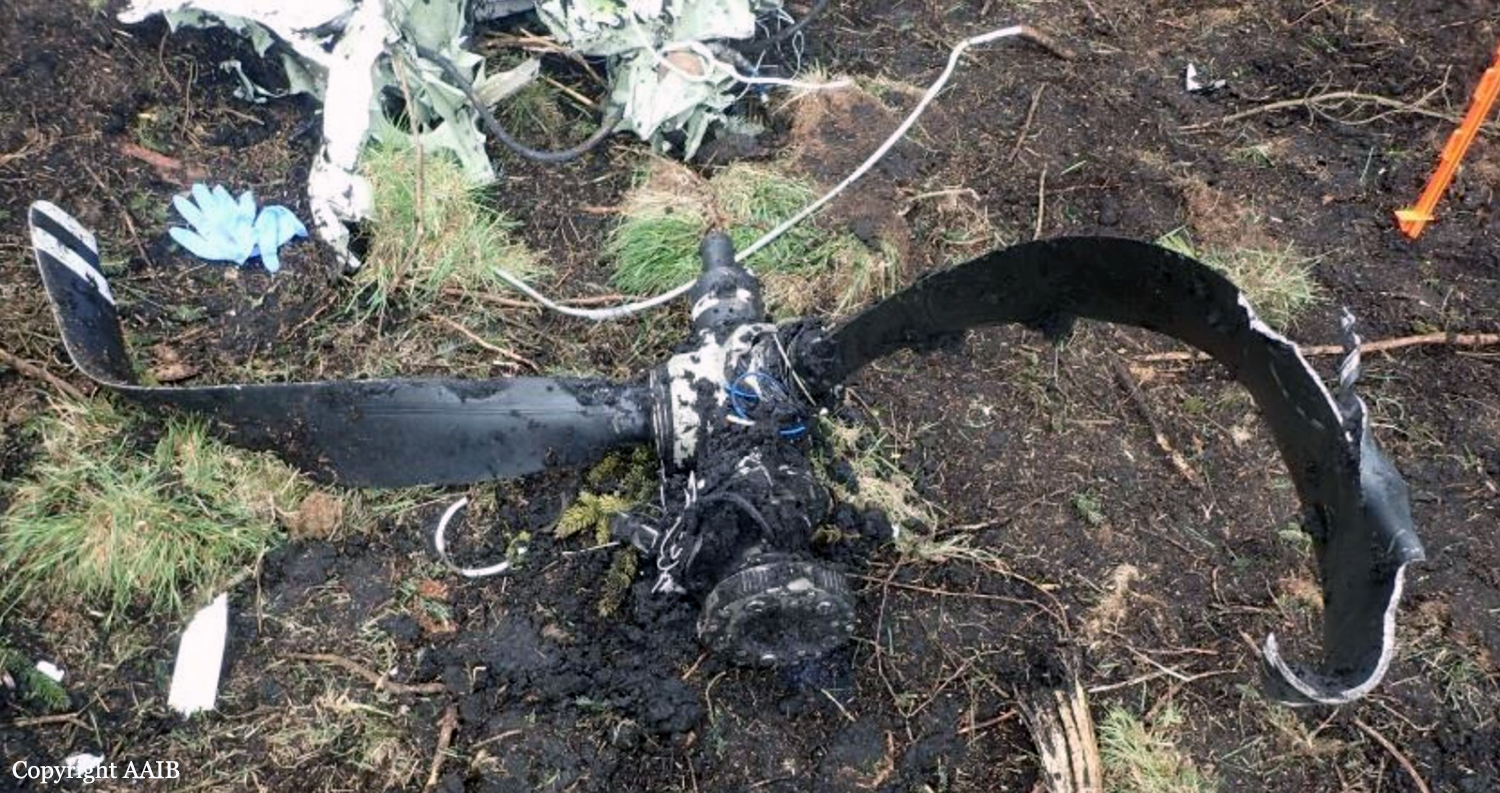
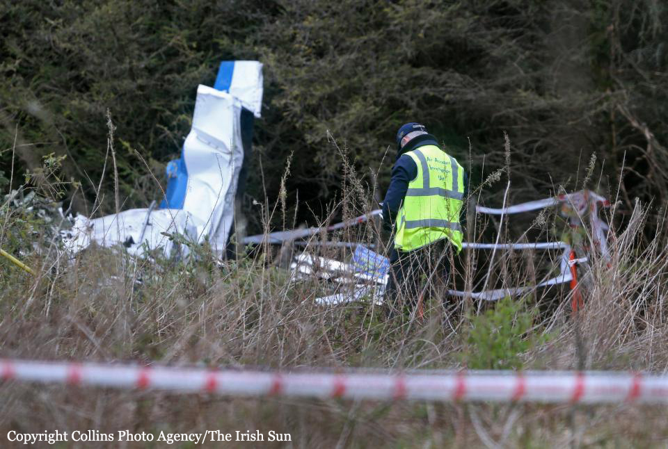
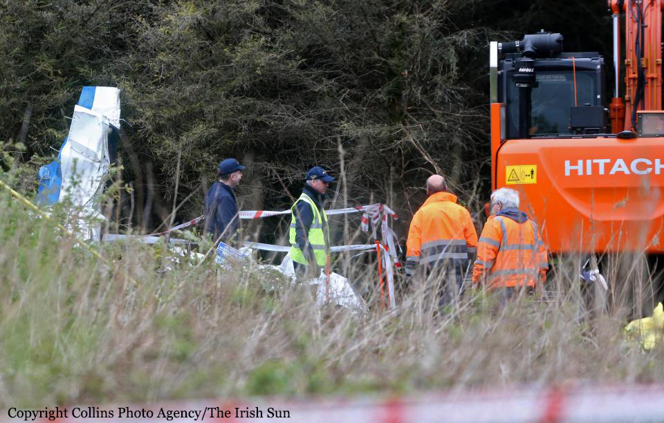
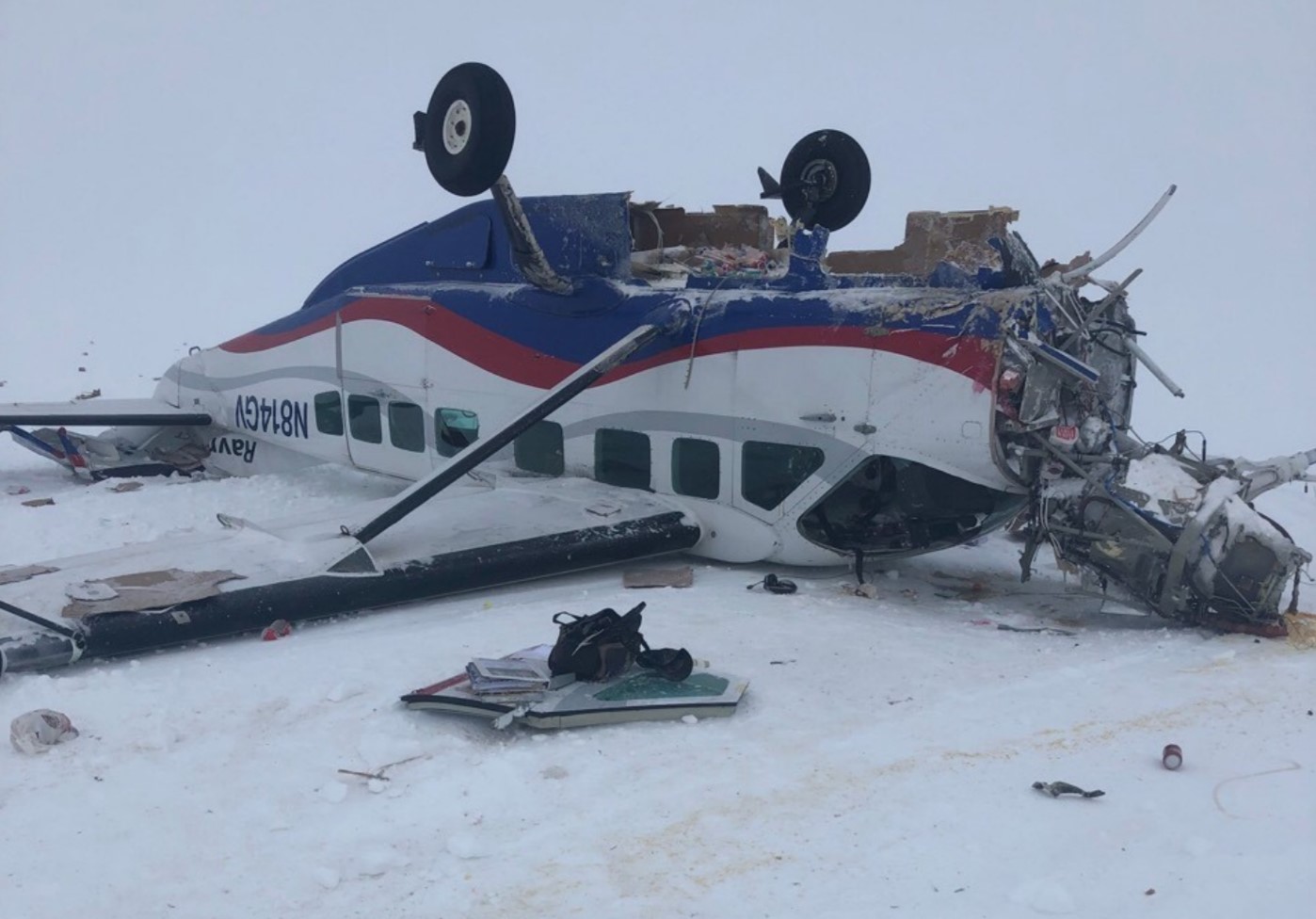
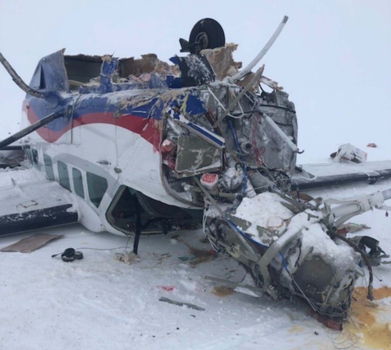
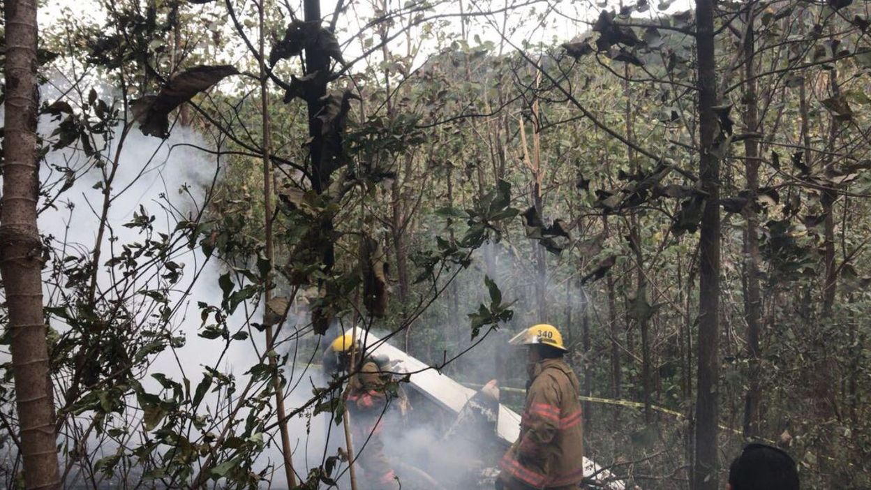
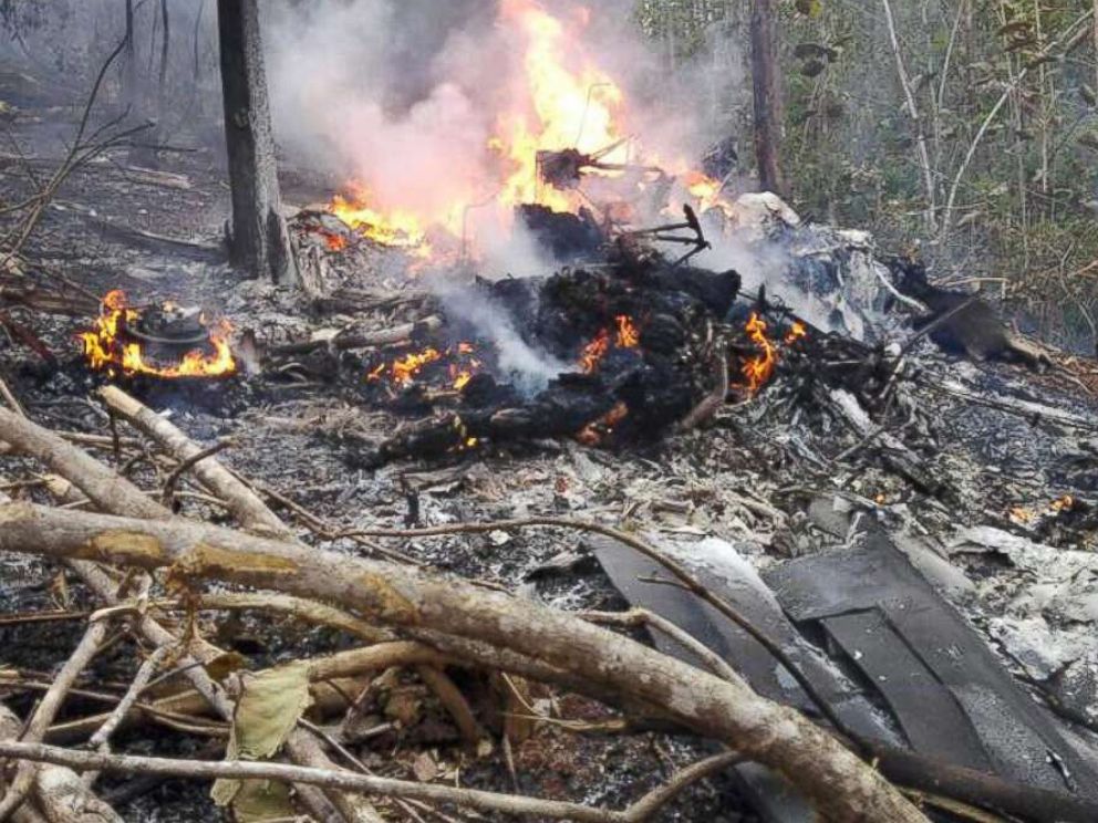
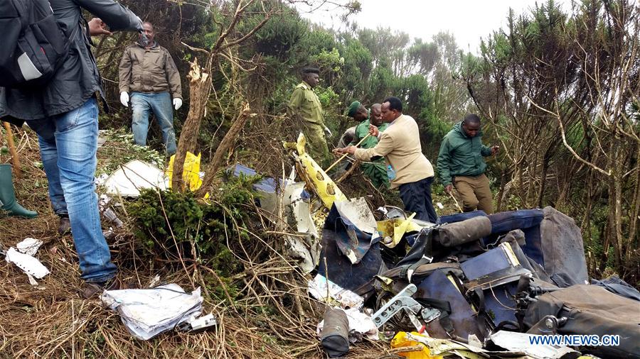
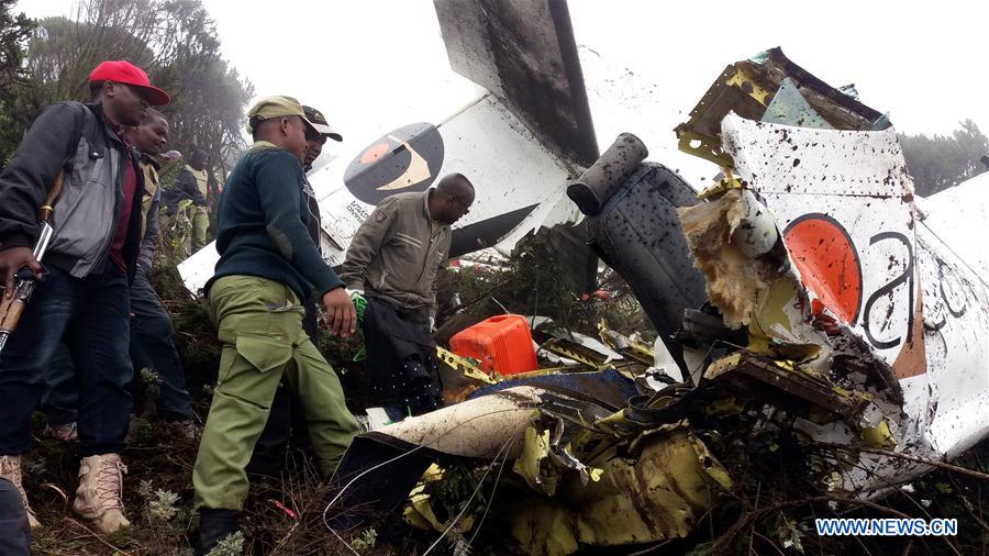
The single engine aircraft departed Surkhet Airport at 0612LT on a cargo flight to Simikot. At 0627LT, the crew made his last radio transmission with Nepalgunj Tower. About 18 minutes later, while cruising by night at an altitude of 12,800 feet, the airplane struck the slope of a mountain located near the Simikot Pass, some 12 km from Simikot Airport. The airplane disintegrated on impact and both crew members were killed.
Probable cause:
The Commission determines the most probable cause of this accident was to continue the flight despite unfavorable weather conditions resulting inadvertent flight into instrument
meteorological conditions and there by deviating from the normal track due to loss of situational awareness that aggravated the spatial disorientation leading to CFIT accident. The following contributing factors were reported:
- Possible effect of hypoxia due to flight for prolonged period in high altitude without oxygen supplement,
- Ineffective safety management of the company which prevented the organization from identifying and correcting latent deficiencies in risk management and inadequacies in pilot training.
Final Report: