code

VA

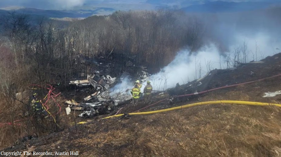
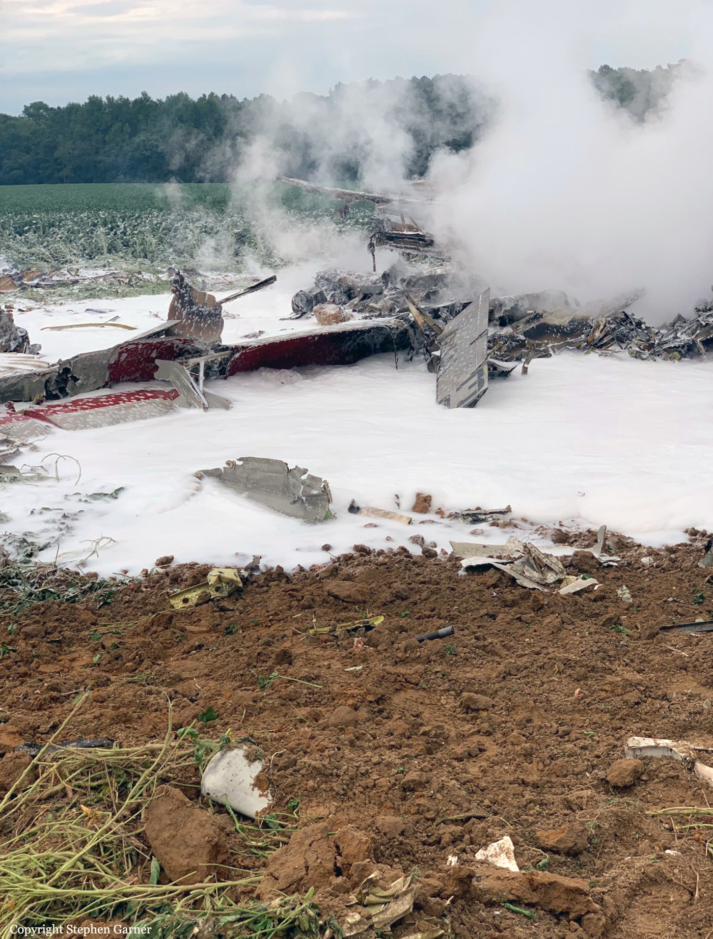
Crash of a Rockwell Grand Commander 690 in Palmyra: 2 killed

Date & Time: May 5, 2024 at 0900 LT
Registration:
N690BM
Flight Phase:
Flight Type:
Survivors:
No
Schedule:
Manassas - Georgetown
MSN:
690-11311
YOM:
1976
Crew on board:
1
Crew fatalities:
Pax on board:
1
Pax fatalities:
Other fatalities:
Total fatalities:
2
Circumstances:
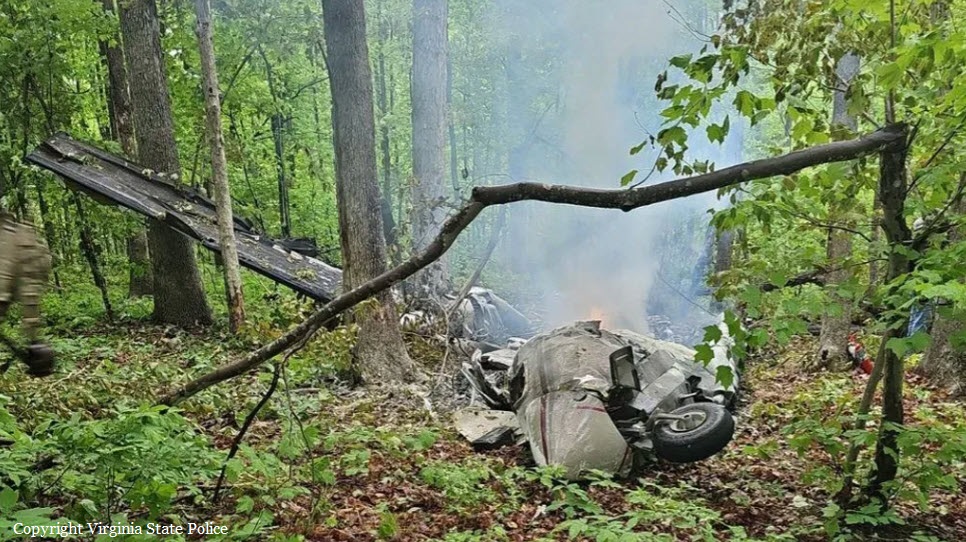
After departure from Manassas-Harry P. Davis Field Airport, Virginia, the twin engine airplane continued to the southwest, bound for Georgetown, South Carolina. While cruising at an altitude of 20,000 feet and approaching an area of marginal weather conditions, the pilot apparently elected to modify his route when the airplane entered an uncontrolled descent and crashed in a wooded area located in Palmyra. Both occupants were killed.

Crash of an IAI-1125 Astra in Hot Springs: 5 killed

Date & Time: Mar 10, 2024 at 1457 LT
Type of aircraft:
Registration:
N1125A
Flight Type:
Survivors:
No
MSN:
51
YOM:
1990
Crew on board:
2
Crew fatalities:
Pax on board:
3
Pax fatalities:
Other fatalities:
Total fatalities:
5
Circumstances:
The airplane departed Fort Lauderdale-Hollywood International Airport Runway 28R at 1346LT with five people on board. It continued to the north at FL390 then successively descended to FL370 and FL330 when the crew encountered an unexpected situation and elected to divert to Hot Springs-Ingalls Field, Virginia. On final approach, the airplane went out of control and crashed in a wooded area located few km short of runway 25. The airplane was totally destroyed by impact forces and a post crash fire and all five occupants were killed, among them one child.

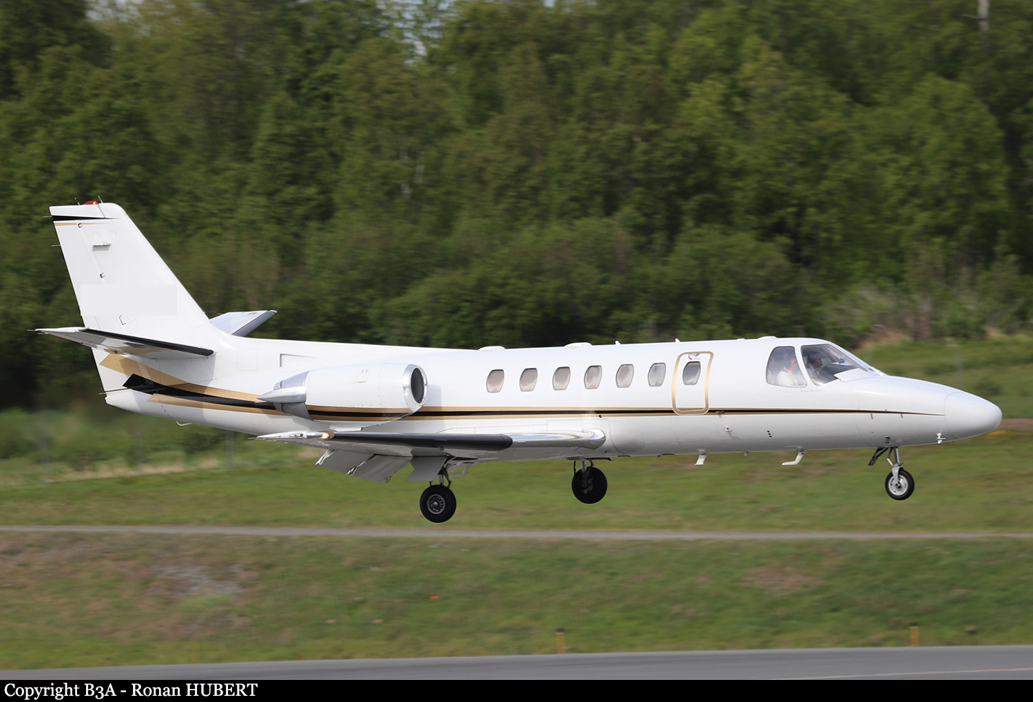
Crash of a Cessna 560 Citation V near Staunton: 4 killed

Date & Time: Jun 4, 2023 at 1525 LT
Type of aircraft:
Operator:
Registration:
N611VG
Flight Phase:
Flight Type:
Survivors:
No
Site:
Schedule:
Elizabethton - Ronkonkoma
MSN:
560-0091
YOM:
1990
Crew on board:
1
Crew fatalities:
Pax on board:
3
Pax fatalities:
Other fatalities:
Total fatalities:
4
Circumstances:
The airplane departed Elizabethton Airport in Tennessee on a private flight to Ronkonkoma-Long Island-McArthur Field (Islip), New York. Approaching the destination, the airplane did not initiate a descent but an almost 180 turn and continued to the southwest. As there was no radio contact with the pilot anymore and as it was approaching the Washington DC area, ATC informed the authorities about the situation and two F-16 fighters were dispatched. The military pilots were unable to establish any contact with the crew. Flying at an altitude of 34,000 feet, the Cessna entered a right turn then an uncontrolled descent and spiraled to the ground before crashing in a wooded and hilly terrain located near Staunton, Virginia, some 600 km southwest from the destination airport. All four occupants were killed.
Probable cause:
Failure of the cabin pressurization system suspected.

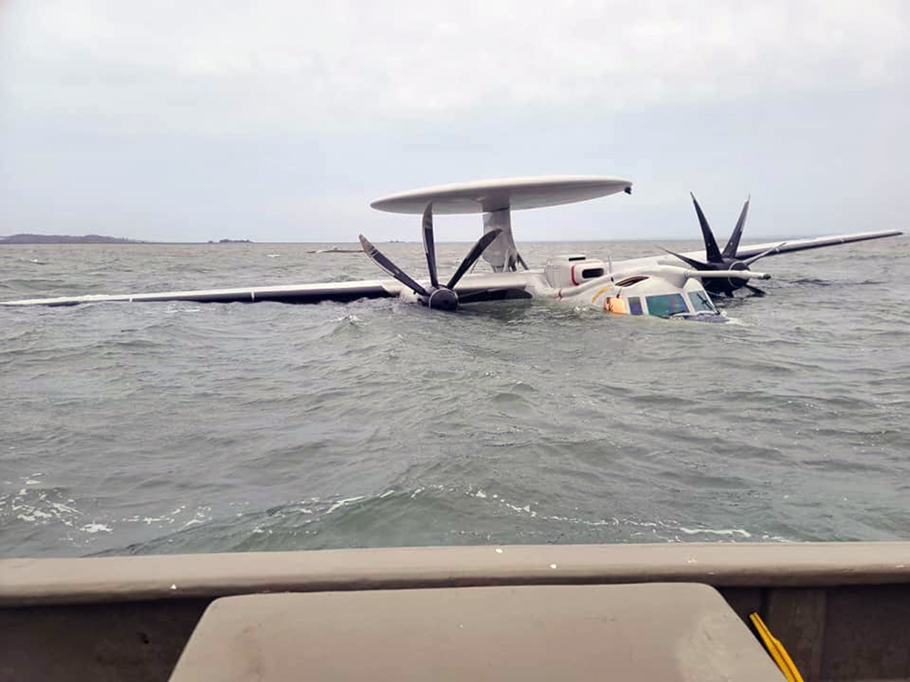
Crash of a Grumman E-2D Hawkeye in the Chincoteague Bay: 1 killed

Date & Time: Mar 30, 2022 at 1930 LT
Type of aircraft:
Operator:
Registration:
169065
Flight Phase:
Flight Type:
Survivors:
Yes
Schedule:
Norfolk - Norfolk
MSN:
AA31
Crew on board:
3
Crew fatalities:
Pax on board:
0
Pax fatalities:
Other fatalities:
Total fatalities:
1
Circumstances:
The crew departed Norfolk-Chambers Field NAS on a local mission. En route, the airplane crashed in unknown circumstances in the Chincoteague Bay, off Wallops Island. The aircraft came to rest partially submerged in shallow waters. Two crew members were rescued while the pilot Lt Hyrum Hanlon was killed.

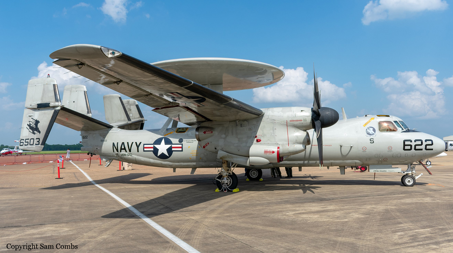
Crash of a Grumman E-2C Hawkeye in Wallops Island

Date & Time: Aug 31, 2020 at 1550 LT
Type of aircraft:
Operator:
Registration:
166503
Flight Phase:
Flight Type:
Survivors:
Yes
Schedule:
Norfolk-Chambers Field - Norfolk-Chambers Field
MSN:
AA3
Crew on board:
4
Crew fatalities:
Pax on board:
0
Pax fatalities:
Other fatalities:
Total fatalities:
0
Circumstances:
The aircraft, assigned to Airborne Command & Control Squadron (VAW) 120 Fleet Replacement Squadron, departed Norfolk-Chambers Field NAS on a training flight. In the afternoon, the crew encountered an unexpected situation, abandoned the aircraft and bailed out. Out of control, the aircraft entered a dive and crashed in a field located near Wallops Island. All four occupants parachuted to safety while the aircraft was totally destroyed by impact forces and a post crash fire.

Crash of a Cessna 525 CJ1 in Crozet: 1 killed

Date & Time: Apr 15, 2018 at 2054 LT
Type of aircraft:
Registration:
N525P
Flight Phase:
Flight Type:
Survivors:
No
Schedule:
Rchmond - Weyers Cave
MSN:
525-0165
YOM:
1996
Location:
Crew on board:
1
Crew fatalities:
Pax on board:
0
Pax fatalities:
Other fatalities:
Total fatalities:
1
Captain / Total flying hours:
737
Captain / Total hours on type:
165.00
Aircraft flight hours:
3311
Circumstances:
The instrument rated private pilot was drinking alcohol before he arrived at the airport. Before the flight, he did not obtain a weather briefing or file an instrument flight rules flight plan for the flight that was conducted in instrument meteorological conditions. The pilot performed a 3-minute preflight inspection of the airplane and departed with a tailwind (even though he had initially taxied the airplane to the runway that favored the wind) and without communicating on the airport Unicom frequency. After departure, the airplane climbed to a maximum altitude of 11,500 feet mean sea level (msl), and then the airplane descended to 4,300 ft msl (which was 1,400 ft below the minimum safe altitude for the destination airport) and remained at that altitude for 9 minutes. Afterward, the airplane began a descending left turn, and radar contact was lost at 2054. The pilot did not talk to air traffic control during the flight and while operating in night instrument meteorological conditions. During the flight, the airplane flew through a line of severe thunderstorms with heavy rain, tornados, hail, and multiple lightning strikes. Before the airplane's descending left turn began, it encountered moderate-to-heavy rain. The airplane's high descent rate of at least 6,000 ft per minute and impact with a mountain that was about 450 ft from the last radar return, the damage to the airplane, and the distribution of the wreckage were consistent with a loss of control and a high-velocity impact. Examination of the airplane revealed no evidence of any preimpact mechanical anomalies. Based on the reported weather conditions at the time the flight, the pilot likely completed the entire flight in night instrument meteorological conditions. His decision to operate at night in an area with widespread thunderstorms and reduced visibility were conducive to the development of spatial disorientation. The airplane's descending left turn and its high-energy impact were consistent with the known effects of spatial disorientation. The pilot was not aware of the conditions near and at the destination airport because he failed to obtain a weather briefing and was not communicating with air traffic control. Also, the pilot's decision to operate an airplane within 8 hours of consuming alcohol was inconsistent with the Federal Aviation Administration's regulation prohibiting such operations, and the level of ethanol in the pilot's toxicology exceeded the level allowed by the regulation. Overall, the pilot's intoxication, combined with the impairing effects of cetirizine, affected his judgment; contributed to his unsafe decision-making; and increased his susceptibility to spatial disorientation, which resulted in the loss of control of the airplane.
Probable cause:
The National Transportation Safety Board determines the probable cause(s) of this accident to be:
The pilot's loss of control while operating in night instrument meteorological conditions as a result of spatial disorientation. Contributing to the accident was the pilot's decision to operate
an airplane after consuming alcohol and his resulting intoxication, which degraded the pilot's judgment and decision-making.
Final Report:

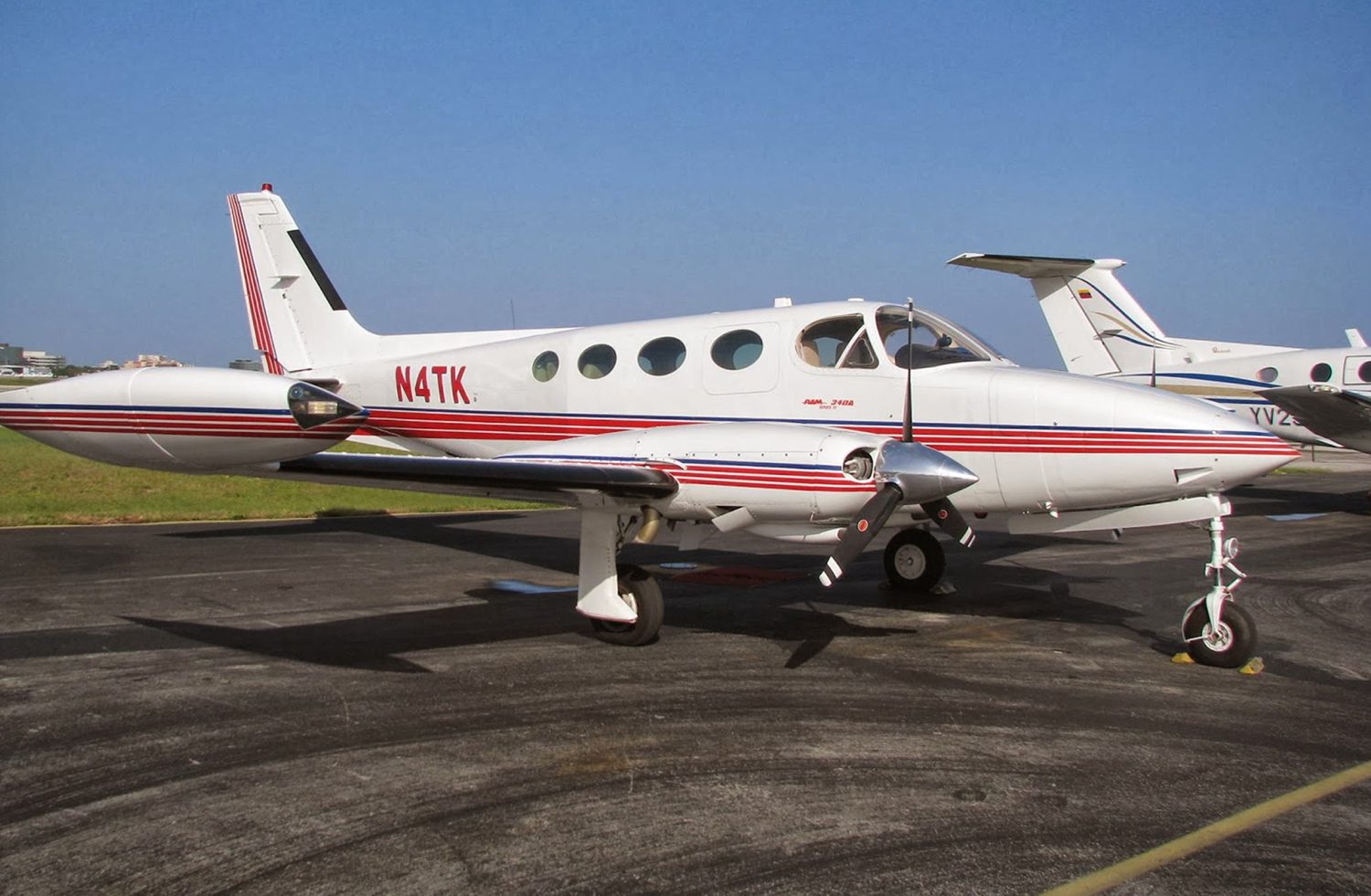
Crash of a Cessna 340A in Hampton Roads: 4 killed

Date & Time: Oct 10, 2013 at 1209 LT
Type of aircraft:
Operator:
Registration:
N4TK
Flight Type:
Survivors:
No
Schedule:
Fort Lauderdale – Hampton Roads
MSN:
340A-0777
YOM:
1979
Crew on board:
1
Crew fatalities:
Pax on board:
3
Pax fatalities:
Other fatalities:
Total fatalities:
4
Circumstances:
The instrument-rated pilot was on a cross-country flight. According to air traffic control records, an air traffic controller provided the pilot vectors to an intersection to fly a GPS approach. Federal Aviation Administration radar data showed that the airplane tracked off course of the assigned intersection by 6 nautical miles and descended 800 ft below its assigned altitude before correcting toward the initial approach fix. The airplane then crossed the final approach fix 400 ft below the minimum crossing altitude and then continued to descend to the minimum descent altitude, at which point, the pilot performed a missed approach. The missed approach procedure would have required the airplane to make a climbing right turn to 2,500 ft mean sea level (msl) while navigating southwest back to the intersection; however, radar data showed that the airplane flew southeast and ascended and descended several times before leveling off at 2,800 ft msl. The airplane then entered a right 360-degree turn and almost completed another circle before it descended into terrain. Examination of the wreckage revealed no evidence of any preimpact mechanical malfunctions or failures. During the altitude and heading deviations just before impact, the pilot reported to an air traffic controller that adverse weather was causing the airplane to lose "tremendous" amounts of altitude; however, weather radar did not indicate any convective activity or heavy rain at the airplane's location. The recorded weather at the destination airport about the time of the accident included a cloud ceiling of 400 ft above ground level and visibility of 3 miles. Although the pilot reported over 4,000 total hours on his most recent medical application, the investigation could not corroborate those reported hours or document any recent or overall actual instrument experience. In addition, it could not be determined whether the pilot had experience using the onboard GPS system, which had been installed on the airplane about 6 months before the accident; however, the accident flight track is indicative of the pilot not using the GPS effectively, possibly due to a lack of proficiency or familiarity with the equipment. The restricted visibility and precipitation and maneuvering during the missed approach would have been conducive to the development of spatial disorientation, and the variable flightpath off the intended course was consistent with the pilot losing airplane control due to spatial disorientation. Toxicological tests detected ethanol and other volatiles in the pilot's muscle indicative of postmortem production.
Probable cause:
The pilot's failure to maintain airplane control due to spatial disorientation in low-visibility conditions while maneuvering during a missed approach. Contributing to the accident was the pilot's ineffective use of the onboard GPS equipment.
Final Report:

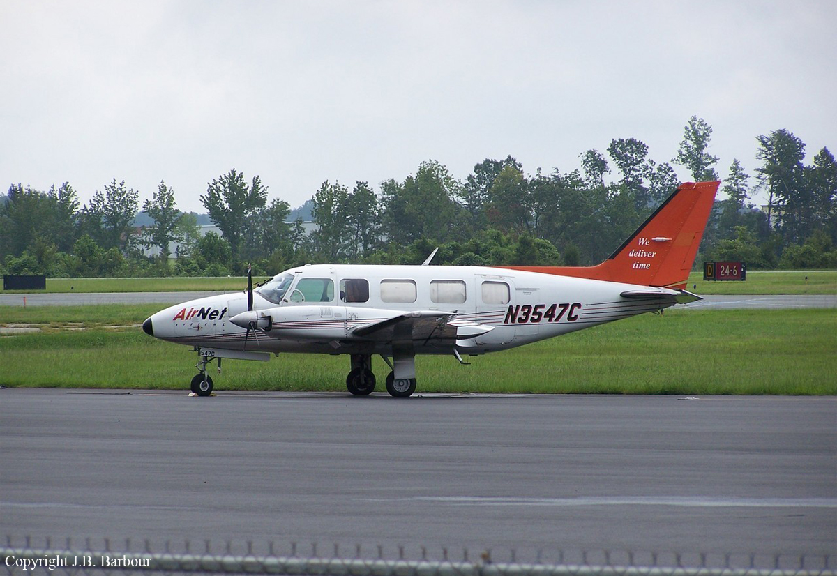
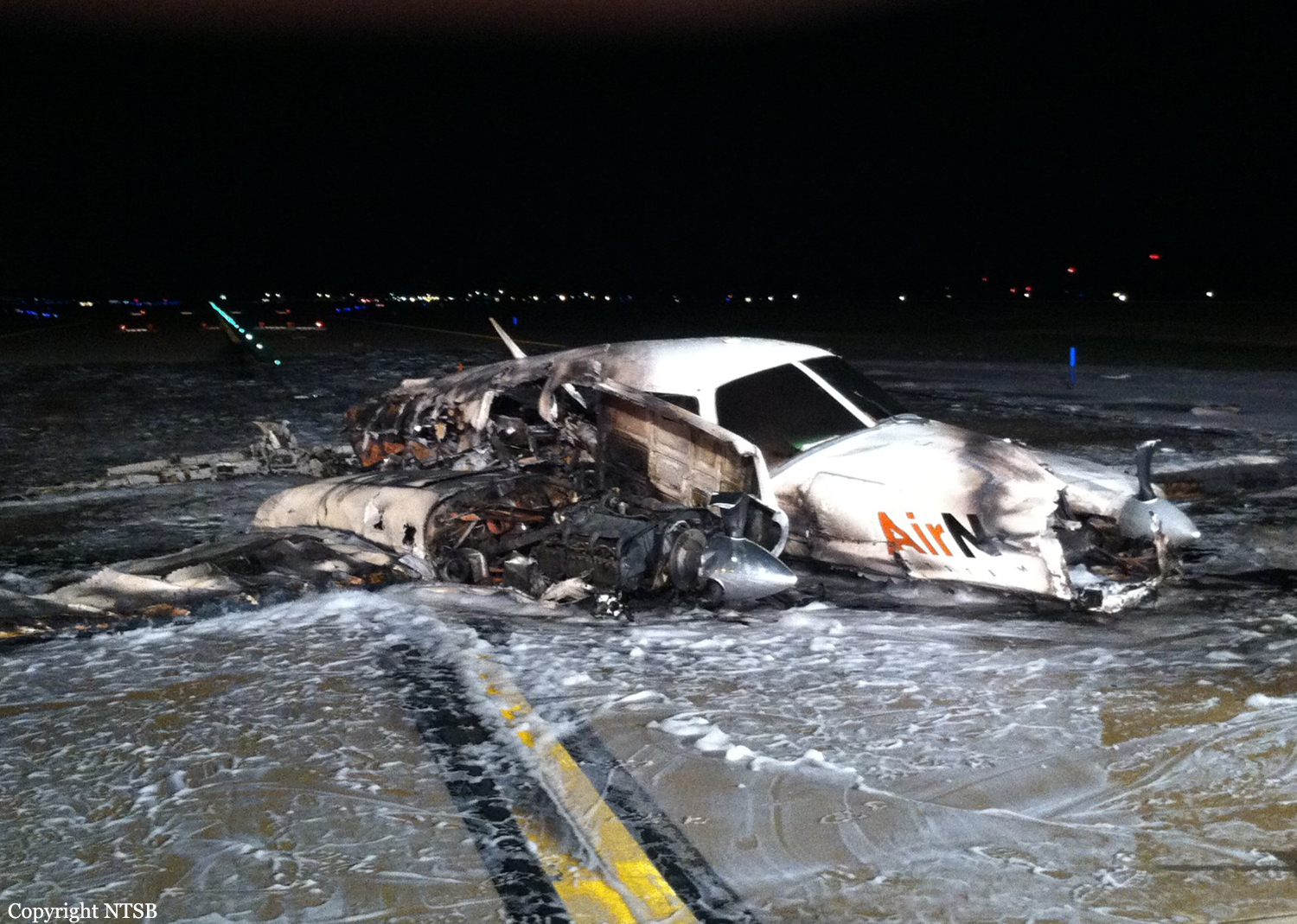
Crash of a Piper PA-31-350 Navajo Chieftain in Richmond

Date & Time: Apr 11, 2011 at 2127 LT
Operator:
Registration:
N3547C
Flight Phase:
Flight Type:
Survivors:
Yes
Schedule:
Richmond - Charlotte
MSN:
31-8052018
YOM:
1980
Flight number:
SKQ601
Crew on board:
1
Crew fatalities:
Pax on board:
0
Pax fatalities:
Other fatalities:
Total fatalities:
0
Captain / Total flying hours:
1948
Captain / Total hours on type:
31.00
Aircraft flight hours:
17265
Circumstances:
The twin-engine airplane was scheduled for a routine night cargo flight. Witnesses and radar data described the airplane accelerating down the runway to a maximum ground speed of 97 knots, then entering an aggressive climb before leveling and pitching down. The airplane subsequently impacted a parallel taxiway with its landing gear retracted. Slash marks observed on the taxiway pavement, as well as rotation signatures observed on the remaining propeller blades, indicated that both engines were operating at impact. Additionally, postaccident examination of the wreckage revealed no evidence of any preimpact mechanical failures or malfunctions of the airframe or either engine. The as-found position of the cargo placed the airplane within the normal weight and balance envelope, with no evidence of a cargo-shift having occurred, and the as-found position of the elevator trim jackscrew was consistent with a neutral pitch trim setting. According to the airframe manufacturer's prescribed takeoff procedure, the pilot was to accelerate the airplane to an airspeed of 85 knots, increase the pitch to a climb angle that would allow the airplane to accelerate past 96 knots, and retract the landing gear before accelerating past 128 knots. Given the loading and environmental conditions that existed on the night of the accident, the airplane's calculated climb performance should have been 1,800 feet per minute. Applying the prevailing wind conditions about time of the accident to the airplane's radar-observed ground speed during the takeoff revealed a maximum estimated airspeed of 111 knots, and the airplane's maximum calculated climb rate briefly exceeded 3,000 feet per minute. The airplane then leveled for a brief time, decelerated, and began descending, a profile that suggested that the airplane likely entered an aerodynamic stall during the initial climb.
Probable cause:
The pilot’s failure to maintain adequate airspeed during the initial climb, which resulted in an aerodynamic stall and subsequent impact with the ground.
Final Report: