Crash of a Beechcraft C90A King Air in Mumbai: 5 killed

Date & Time: Jun 28, 2018 at 1315 LT
Type of aircraft:
Operator:
Registration:
VT-UPZ
Flight Type:
Survivors:
No
Site:
Schedule:
Juhu - Juhu
MSN:
LJ-1400
YOM:
1995
Country:
Region:
Crew on board:
2
Crew fatalities:
Pax on board:
2
Pax fatalities:
Other fatalities:
Total fatalities:
5
Circumstances:
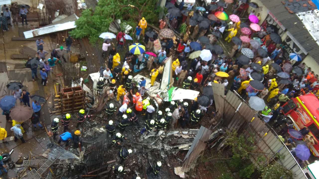
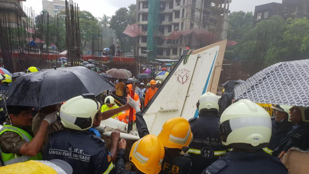
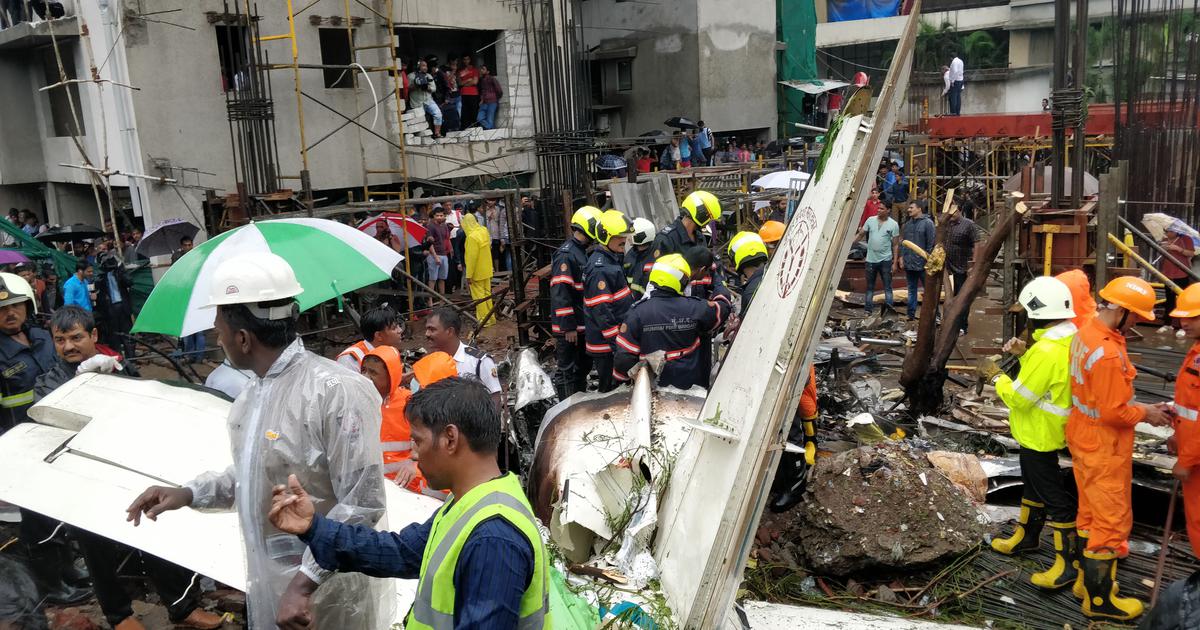
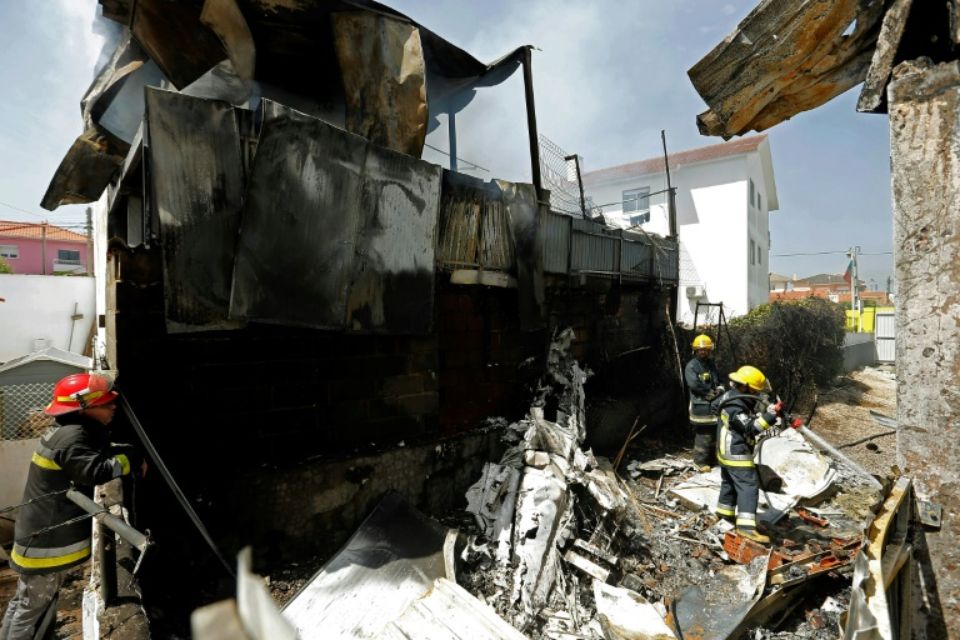
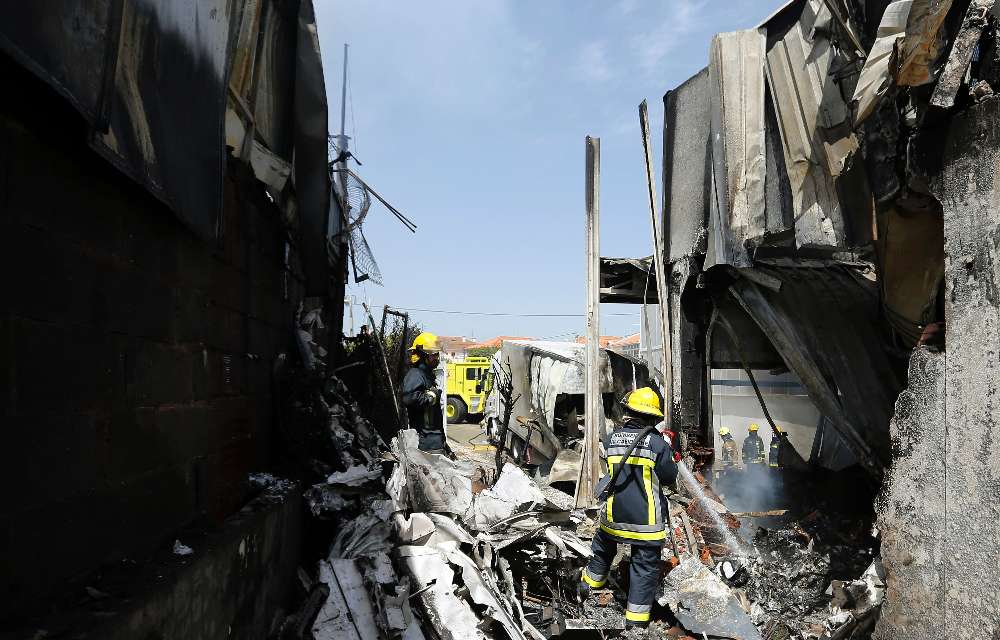
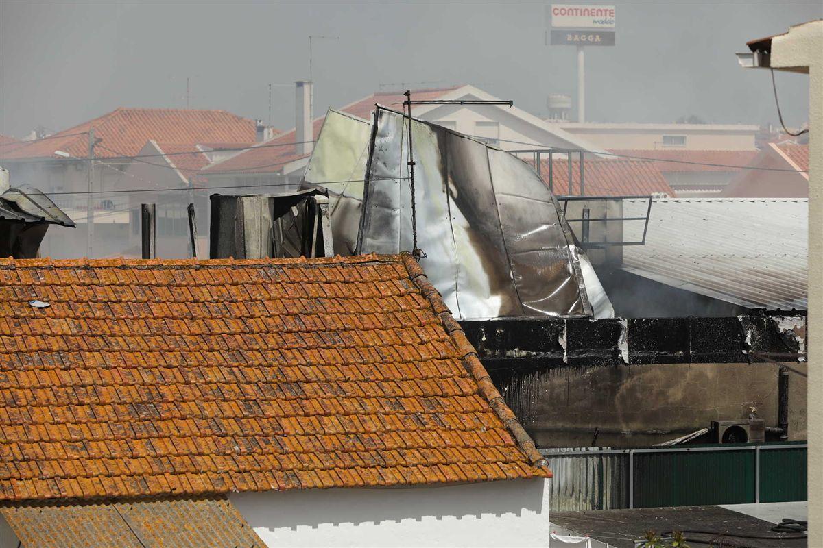
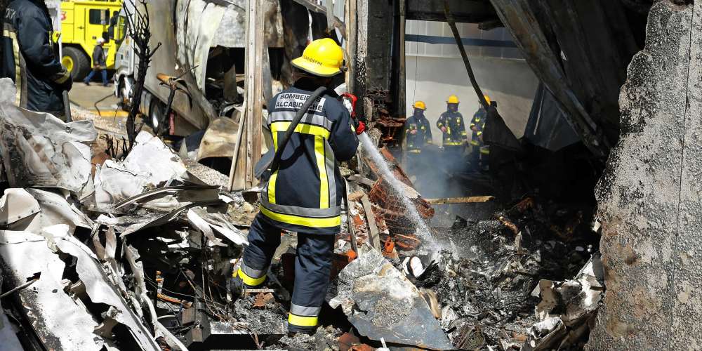
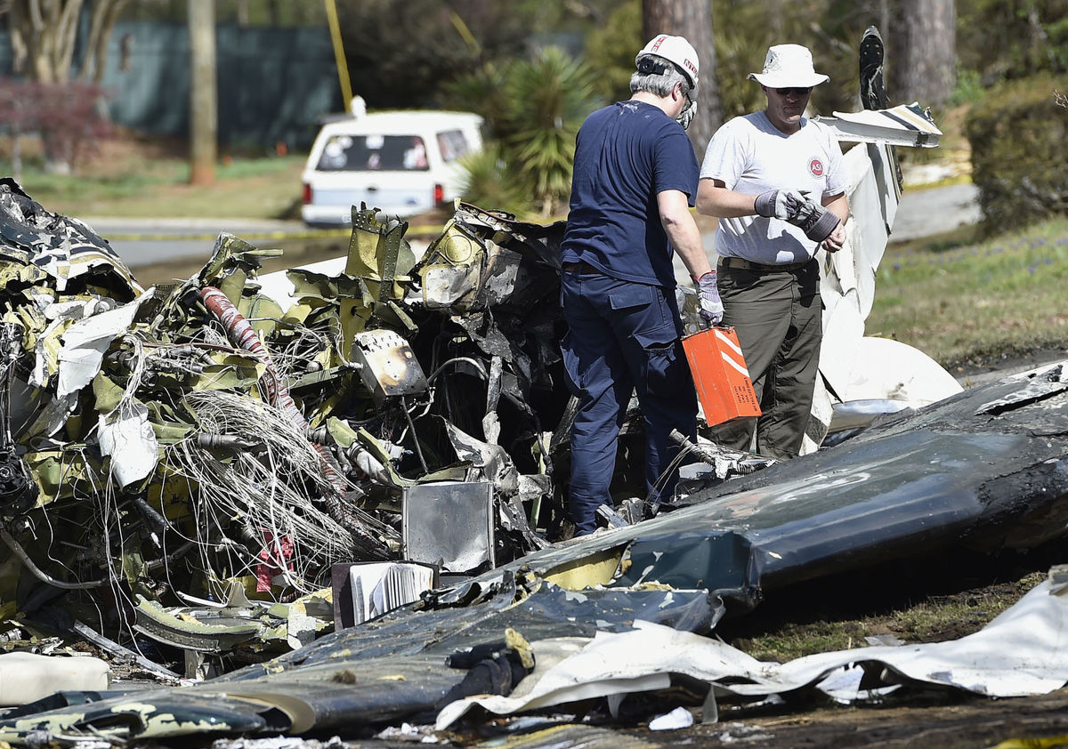
Following a technical maintenance, a test flight was scheduled with two engineers and two pilots. The twin engine airplane departed Mumbai-Juhu Airport and the crew completed several manoeuvres over the city before returning. On approach in heavy rain falls, the aircraft went out of control and crashed at the bottom of a building under construction located in the Ghatkopar West district, some 3 km east from Mumbai Intl Airport, bursting into flames. The aircraft was destroyed by impact forces and a post crash fire and all four occupants were killed as well as one people on the ground.

Crash of a Cessna 414 Chancellor in Enstone

Date & Time: Jun 26, 2018 at 1320 LT
Type of aircraft:
Operator:
Registration:
N414FZ
Flight Phase:
Flight Type:
Survivors:
Yes
Site:
Schedule:
Enstone – Dunkeswell
MSN:
414-0175
YOM:
1971
Region:
Crew on board:
1
Crew fatalities:
Pax on board:
1
Pax fatalities:
Other fatalities:
Total fatalities:
0
Captain / Total flying hours:
1194
Captain / Total hours on type:
9.00
Circumstances:
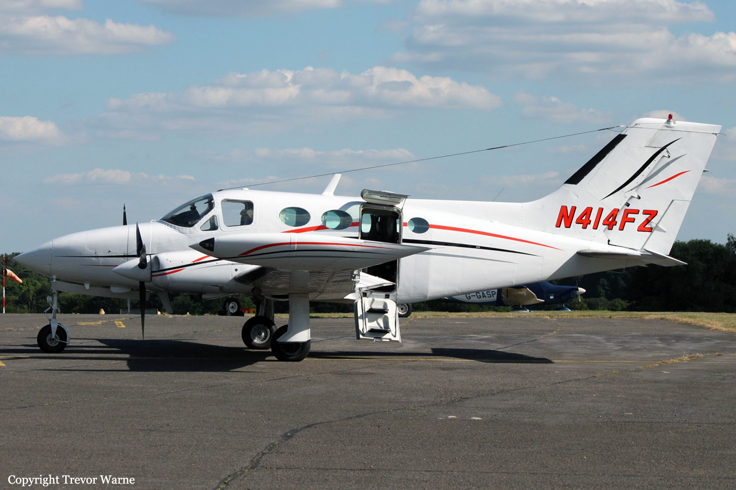
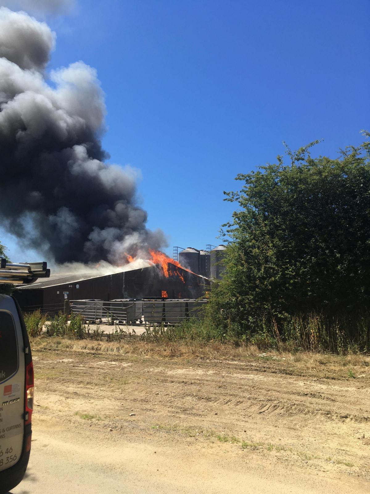
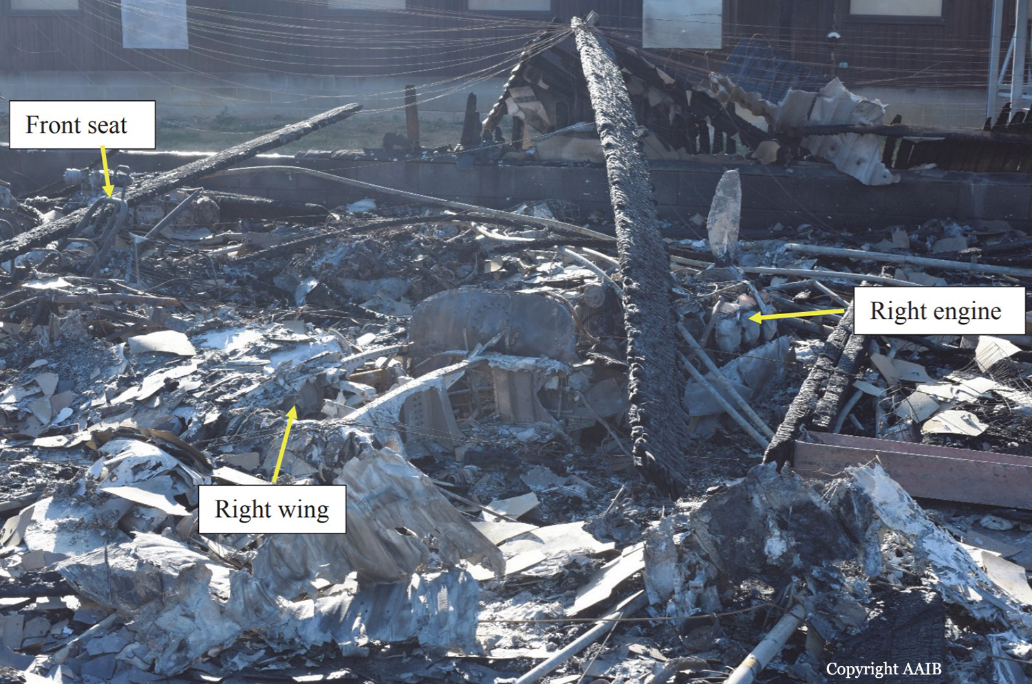
The aircraft departed Dunkeswell Airfield on the morning of the accident for a flight to Retford (Gamston) Airfield with three passengers on board, two of whom held flying licences. The passengers all reported that the flight was uneventful and after spending an hour on the ground the aircraft departed with two passengers for Enstone Airfield. This flight was also flown without incident.The pilot reported that before departing Enstone he visually checked the level in the aircraft fuel tanks and there was 390 ltr (103 US gal) on board, approximately half of which was in the wingtip fuel tanks. After spending approximately one hour on the ground the pilot was heard to carry out his power checks before taxiing to the threshold of Runway 08 for a flight back to Dunkeswell with one passenger onboard). During the takeoff run the left engine was heard to stop and the aircraft veered to the left as it came to a halt. The pilot later recalled that he had seen birds in the climbout area and this was a factor in the abandoned takeoff. The aircraft was then seen to taxi to an area outside the Oxfordshire Sport Flying Club, where the pilot attempted to start the left engine, during which time the right engine also stopped. The right engine was restarted, and several attempts appeared to have been made to start the left engine, which spluttered into life before stopping again. Eventually the left engine started, blowing out clouds of white and black smoke. After the left engine was running smoothly the pilot was seen to taxi to the threshold for Runway 08. The takeoff run sounded normal and the landing gear was seen to retract at a height of approximately 200 ft agl. The climbout was captured on a video recording taken by an individual standing next to the disused runway, approximately 400 m to the south of Runway 08. The aircraft was initially captured while it was making a climbing turn to the right and after 10 seconds the wings levelled, the aircraft descended and disappeared behind a tree line. After a further 5 seconds the aircraft came into view flying west over buildings to the east of the disused runway at a low height, in a slightly nose-high attitude. The right propeller appeared to be rotating slowly, there was some left rudder applied and the aircraft was yawed to the right. The left engine could be heard running at a high rpm and the landing gear was in the extended position. The aircraft appeared to be in a gentle right turn and was last observed flying in a north-west direction. The video then cut away from the aircraft for a further 25 seconds and when it returned there was a plume of smoke coming from buildings to the north of the runway. The pilot reported that the engine had lost power during a right climbing turn during the departure. He recovered the aircraft to level flight and selected the ‘right fuel booster’ pump (auxiliary pump) and the engine recovered power. He decided to return to Enstone and when he was abeam the threshold for Runway 08 the right engine stopped. He feathered the propeller on the right engine and noted that the single-engine performance was insufficient to climb or manoeuvre and, therefore, he selected a ploughed field to the north of Enstone for a forced landing. During the approach the pilot noticed that the left engine would only produce “approximately 57%” of maximum power, with the result that he could not make the field and crashed into some farm buildings. There was an immediate fire following the accident and the pilot and passenger both escaped from the wreckage through the rear cabin door. The pilot sustained minor burns. The passenger, who was taken to the John Radcliffe Hospital in Oxford, sustained burns to his body, a fractured vertebra, impact injuries to his chest and lacerations to his head.
Probable cause:
The pilot and the passengers reported that both engines operated satisfactory on the two flights prior to the accident flight. No problems were identified with the engines during the maintenance activity carried out 25 and 5 flying hours prior to the accident and the engine power checks carried out at the start of the flight were also satisfactory. It is therefore unlikely that there was a fault on both engines which would have caused the left engine to stop during the aborted takeoff and the right engine to stop during the initial climb. The aircraft was last refuelled at Dunkeswell Airfield and had successfully undertaken two flights prior to the accident flight. There had been no reports to indicate that the fuel at Dunkeswell had been contaminated; therefore, fuel contamination was unlikely to have been the cause. The pilot reported that there was sufficient fuel onboard the aircraft to complete the flight, which was evident by the intense fire in the poultry farm, most probably caused by the fuel from the ruptured aircraft fuel tanks. With sufficient fuel onboard for the aircraft to complete the flight, the most likely cause of the left engine stopping during the aborted takeoff, and the right engine stopping during the accident flight, was a disruption in the fuel supply between the fuel tanks and engine fuel control units. The reason for this disruption could not be established but it is noted that the fuel system in this design is more complex than in many light twin-engine aircraft. The AAIB calculated the single-engine climb performance during the accident flight using the performance curves3 for engines not equipped with the RAM modification. It was a hot day and the aircraft was operating at 280 lb below its maximum takeoff weight. Assuming the landing gear and flaps were retracted, the engine cowls on the right engine were closed and the aircraft was flown at 101 kt, then the single-engine climb performance would have been 250 ft/min. However, the circumstances of the loss of power at low altitude would have been challenging and, shortly before the accident, the aircraft was seen flying with the landing gear extended and the right engine still windmilling. These factors would have adversely affected the single-engine performance and might explain why the pilot was no longer able to maintain height.
Final Report:

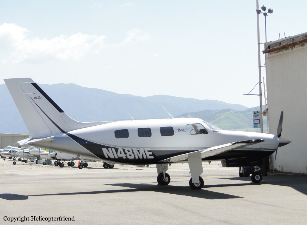
Crash of a Piper PA-46-310P Malibu in Prescott

Date & Time: May 29, 2018 at 2115 LT
Registration:
N148ME
Flight Type:
Survivors:
Yes
Site:
Schedule:
Santa Ana – Prescott
MSN:
46-8608009
YOM:
1986
Crew on board:
1
Crew fatalities:
Pax on board:
2
Pax fatalities:
Other fatalities:
Total fatalities:
0
Captain / Total flying hours:
3100
Captain / Total hours on type:
3.00
Circumstances:
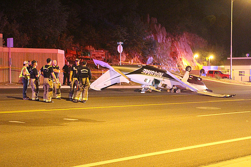
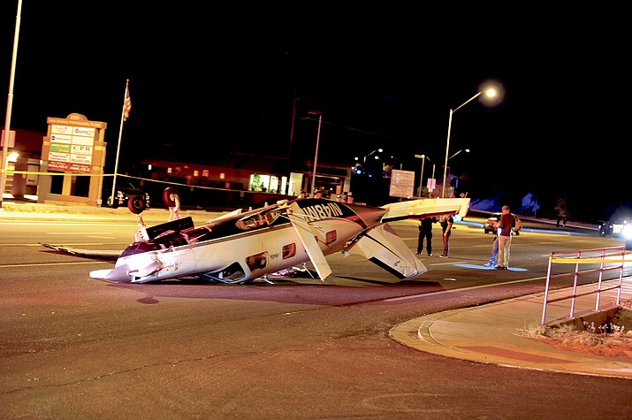
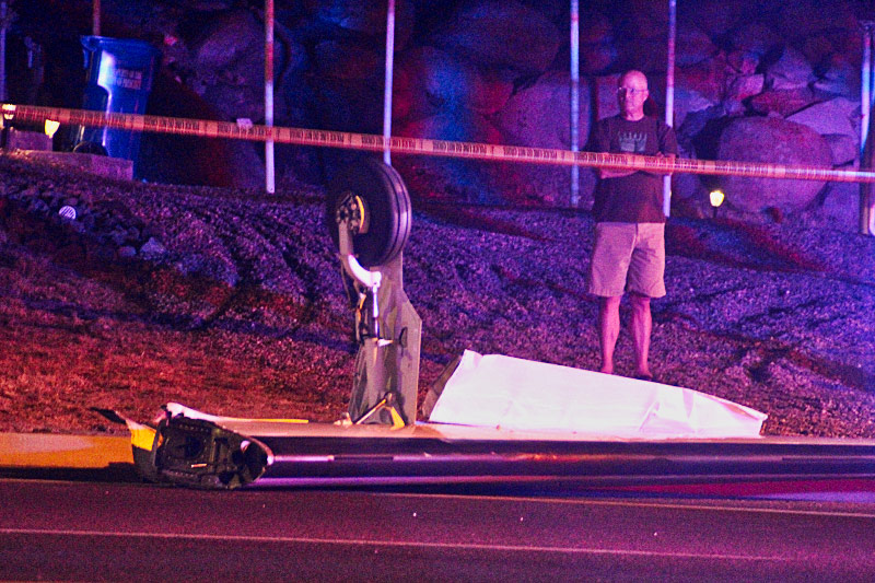
According to the pilot, about 15 minutes before reaching the destination airport during descent, the engine lost power. The pilot switched fuel tanks, and the engine power was momentarily restored, but the engine stopped producing power even though he thought it "was still running all the way to impact." The pilot conducted a forced landed on a highway at night, and the right wing struck an object and separated from the airplane. The airplane came to rest inverted. According to the Federal Aviation Administration (FAA) aviation safety inspector (ASI) that performed the postaccident airplane examination, the fuel lines to the fuel manifold were dry, and the fuel manifold valves were dry. He reported that the fuel strainer, the diaphragm, and the fuel filter in the duel manifold were unremarkable. Fuel was found in the gascolator. The FAA ASI reported that, during his interview with the pilot, "the pilot changed his story from fuel exhaustion, to fuel contamination." The inspector reported that there were no signs of fuel contamination during the examination of the fuel system. According to the fixed-base operator (FBO) at the departure airport, the pilot requested 20 gallons of fuel. He then canceled his fuel request and walked out of the FBO.
Probable cause:
The pilot's improper fuel planning, which resulted in fuel exhaustion and the subsequent total loss of engine power.
Final Report:

Crash of a Cessna 402B in St Petersburg

Date & Time: Oct 18, 2017 at 1545 LT
Type of aircraft:
Operator:
Registration:
N900CR
Survivors:
Yes
Site:
Schedule:
Tampa – Sarasota
MSN:
402B-1356
YOM:
1978
Crew on board:
1
Crew fatalities:
Pax on board:
1
Pax fatalities:
Other fatalities:
Total fatalities:
0
Captain / Total flying hours:
654
Captain / Total hours on type:
38.00
Aircraft flight hours:
8971
Circumstances:
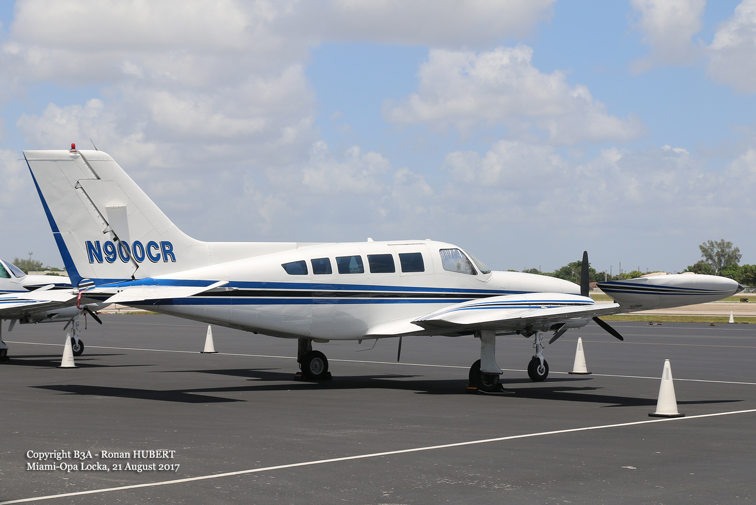
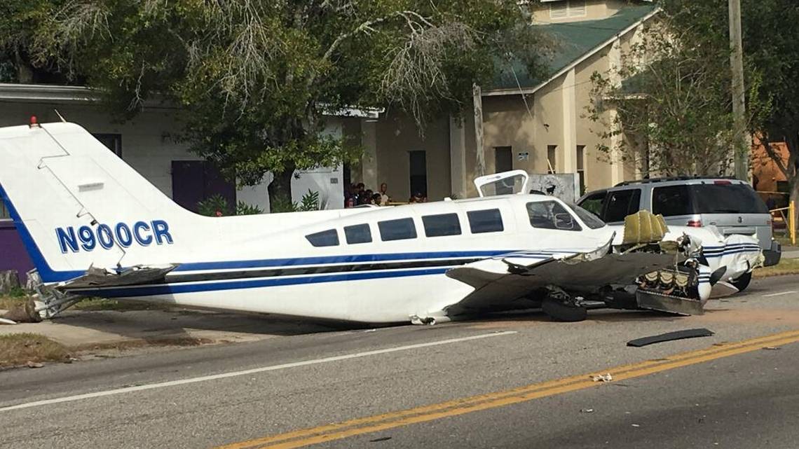
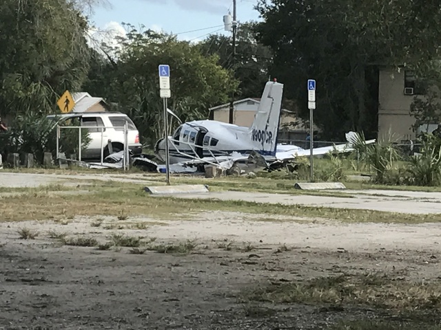
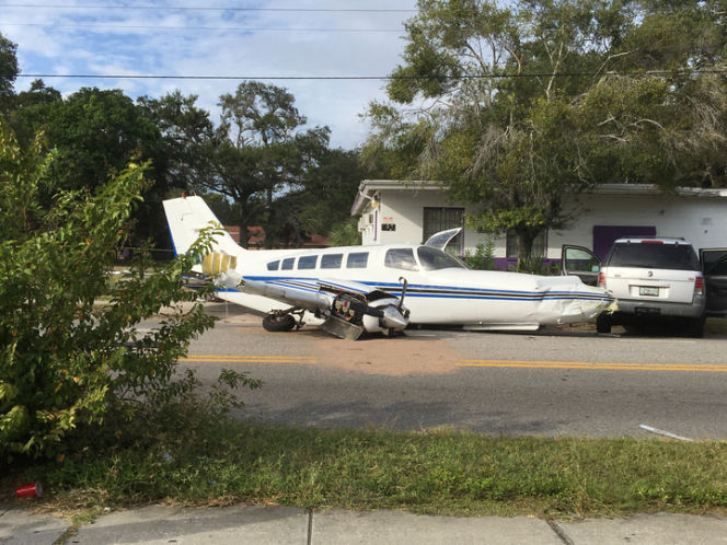
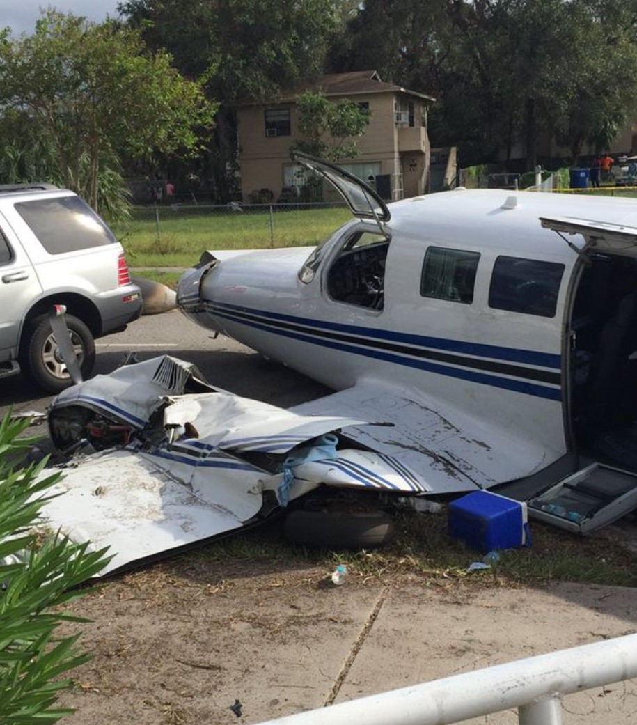
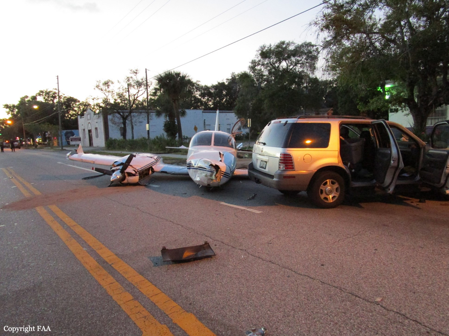
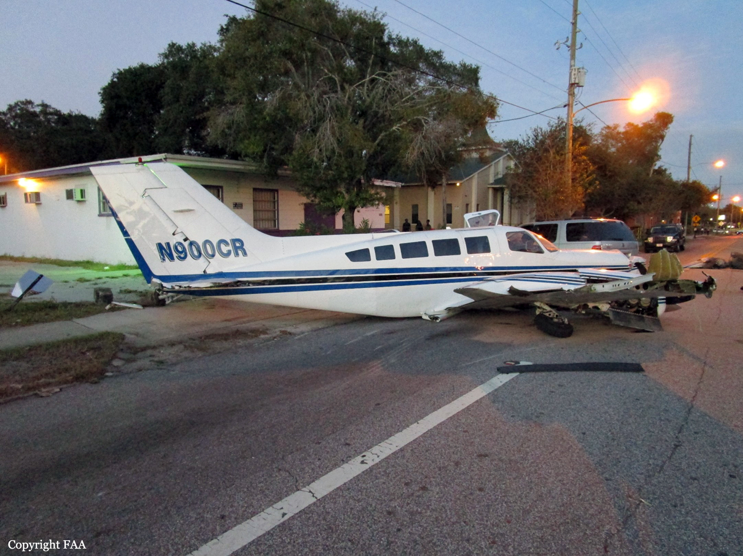
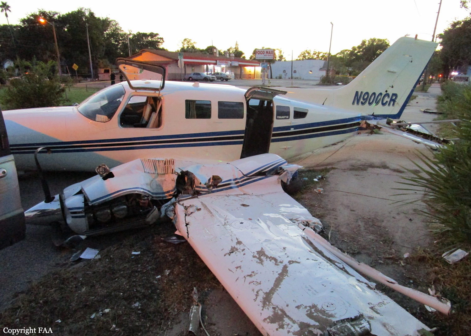
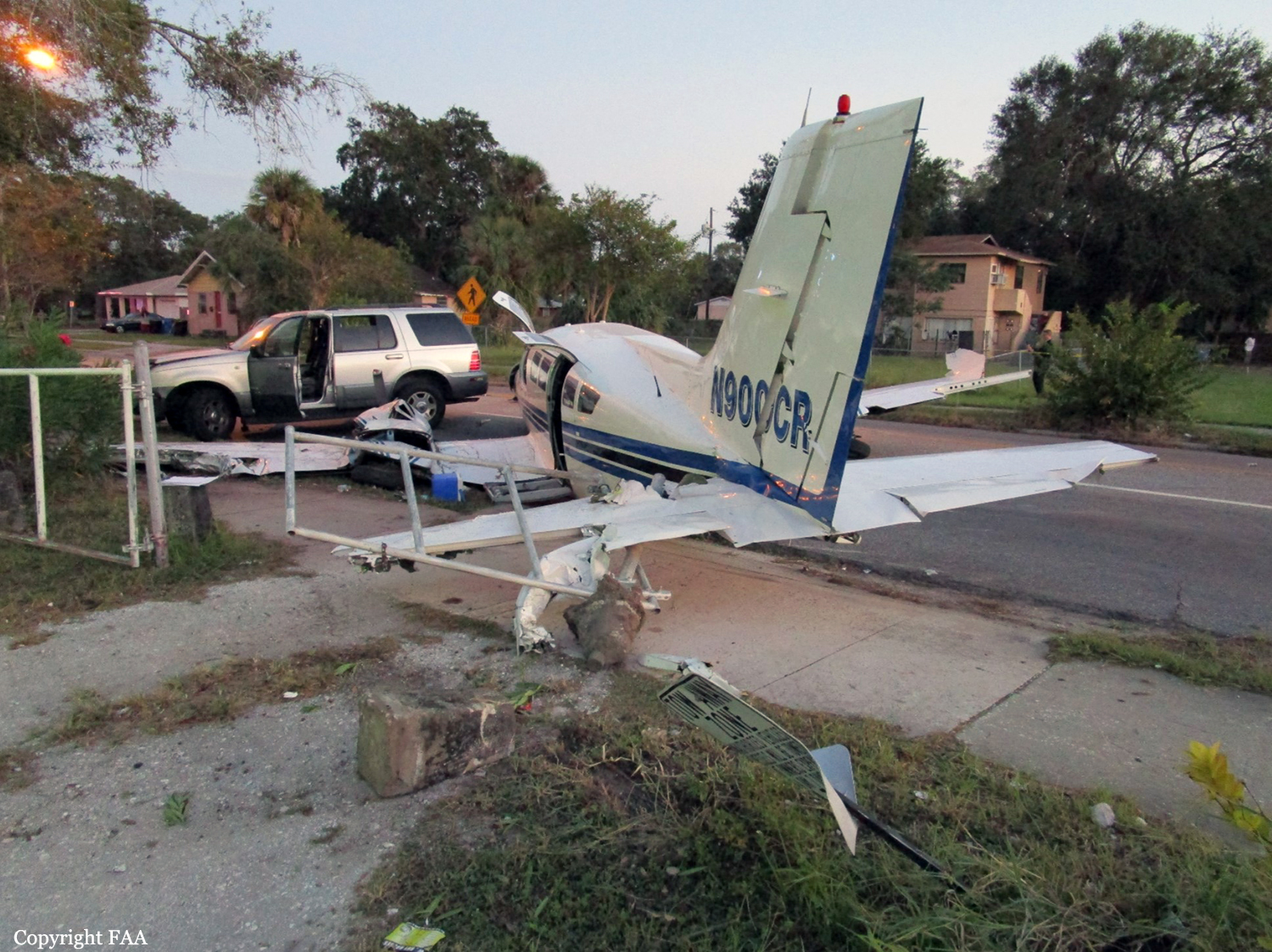
The pilot departed on the non-scheduled passenger flight with one passenger onboard; the flight was the 3rd leg of a 4-leg trip. About 13 minutes after departure, he advised air traffic control that the airplane was “fuel critical” and requested vectors to the nearest airport, which was about 7 miles away. Both engines subsequently lost total power and the pilot performed a forced landing on a street about 2 miles from the airport, during which the airplane collided with two vehicles. Examination of the airplane revealed substantial damage to the fuel tanks, with evidence of a small fire near the left wingtip fuel tank. Fuel consumption calculations revealed that the airplane would have used about 100 gallons of fuel since its most recent refueling, which was the capacity of the main (wingtip) tanks. Both fuel selectors were found in their respective main tank positions. Given the available information, it is likely that the pilot exhausted all the fuel in the main fuel tanks and starved the engines of fuel. Although the total amount of fuel on board at the start of the flight could not be determined, had all tanks been full, the airplane would have had about 63 gallons remaining in the two auxiliary tanks at the time of the accident. The auxiliary fuel tanks were breached during the accident and quantity of fuel they contained was not determined. Examination of the engines revealed no evidence of any preimpact mechanical malfunctions or failures that would have precluded normal operation.
Probable cause:
The pilot's mismanagement of the onboard fuel, which resulted in fuel starvation, a total loss of power to both engines, and a subsequent forced landing.
Final Report:

Crash of a Piper PA-31T-620 Cheyenne II in Cascais: 5 killed

Date & Time: Apr 17, 2017 at 1204 LT
Type of aircraft:
Operator:
Registration:
HB-LTI
Flight Phase:
Flight Type:
Survivors:
No
Site:
Schedule:
Cascais – Marseille
MSN:
31T-8020091
YOM:
1980
Country:
Region:
Crew on board:
1
Crew fatalities:
Pax on board:
3
Pax fatalities:
Other fatalities:
Total fatalities:
5
Captain / Total flying hours:
4900
Aircraft flight hours:
8323
Circumstances:
On April 17th, at 11:04 UTC, the aircraft turboprop Piper PA-31 Cheyenne II, registration HBLTI, private property, took off from runway 17 of the Cascais aerodrome (LPCS) bound to Marseille airport (LFML), IFR private flight, with 1 pilot and 3 passengers on board. According to several eyewitness testimonies, after takeoff, the Swiss twin-engine started to put the left wing down and consequently to turn left while climbing slowly to about 300’ feet of altitude. The left bank1 increased and the speed decreased leading the aircraft to stall. The aircraft entered a steep dive and impacted the ground next to a logistics dock of a local supermarket, located southeast of the airfield. The crash occurred 700 m from the end of the departure runway. Following the impact, the aircraft exploded and caught fire affecting a logistic dock, a house and a truck. The aircraft was destroyed by impact force and the post-collision fire, all the four occupants were killed. The driver of the truck affected by the explosion of the plane was also killed. The fuselage, wings, the engines and propellers were severely damaged by the impact force and post-impact fuel-fed fire. The structural damage to the aircraft was consistent with the application of extensive structural loads during the impact sequence, and the effects of the subsequent fire. No pre-crash structural defects were found. All aircraft parts and control surfaces were located at the site. The flaps and the landing gear were found retracted at the time of impact.
Probable cause:
- The pilot’s failure to maintain the airplane control following the power loss in the left critical engine. The root cause for the left engine failure could not be determined due to the extensive impact damages and intensive fire.
Contributing factors:
- Lack of proper pilot training especially concerning the emergency scenario of critical engine failure immediately after takeoff.
Final Report:

Crash of a Cessna 500 Citation I in Marietta: 1 killed

Date & Time: Mar 24, 2017 at 1924 LT
Type of aircraft:
Registration:
N8DX
Flight Type:
Survivors:
No
Site:
Schedule:
Cincinnati – Atlanta
MSN:
500-0303
YOM:
1976
Crew on board:
1
Crew fatalities:
Pax on board:
0
Pax fatalities:
Other fatalities:
Total fatalities:
1
Captain / Total flying hours:
6000
Aircraft flight hours:
9299
Circumstances:
The private pilot departed on an instrument flight rules flight plan in his twin-engine turbojet airplane. The flight was uneventful until the air traffic controller amended the flight plan, which required the pilot to manually enter the new routing information into the GPS. A few minutes later, the pilot told the controller that he was having problems with the GPS and asked for a direct route to his destination. The controller authorized the direct route and instructed the pilot to descend from 22,000 ft to 6,000 ft, during which time the sound of the autopilot disconnect was heard on the cockpit voice recorder (CVR). During the descent, the pilot told the controller that the airplane had a steering problem and was in the clouds. The pilot was instructed to descend the airplane to 4,100 ft, which was the minimum vectoring altitude. The airplane continued to descend, entered visual meteorological conditions, and then descended below the assigned altitude. The controller queried the pilot about the airplane's low altitude and instructed the pilot to maintain 4,100 ft. The pilot responded that he was unsure if he would be able to climb the airplane back to that altitude due to steering issues. The controller issued a low altitude warning and again advised the pilot to climb back to 4,100 ft. The pilot responded that the autopilot was working again and that he was able to climb the airplane to the assigned altitude. The controller then instructed the pilot to change to another radio frequency, but the pilot responded that he was still having a problem with the GPS. The pilot asked the controller to give him direct routing to the airport. A few minutes later, the pilot told the controller that he was barely able to keep the airplane straight and its wings level. The controller asked the pilot if he had the airport in sight, which he did not. The pilot then declared an emergency and expressed concerns related to identifying the landing runway. Afterward, radio contact between the controller and the pilot was lost. Shortly before the airplane impacted the ground, a witness saw the airplane make a complete 360° roll to the left, enter a steep 90° bank to the left, roll inverted, and enter a vertical nose-down dive. Another witness saw the airplane spiral to the ground. The airplane impacted the front lawn of a private residence, and a postcrash fire ensued.The pilot held a type rating for the airplane, but the pilot's personal logbooks were not available for review. As a result, his overall currency and total flight experience in the accident airplane could not be determined. The airplane was originally certified for operations with a pilot and copilot. To obtain an exemption to operate the airplane as a single pilot, a pilot must successfully complete an approved single-pilot exemption training course annually. The accident airplane was modified, and the previous owner was issued a single-pilot conformity certificate by the company that performed the modifications. However, there was no record indicating that the accident pilot received training under this exemption. Several facilities that have single-pilot exemption training for the accident airplane series also had no record of the pilot receiving training for single-pilot operations in the accident airplane. Therefore, unlikely that the pilot was properly certificated to act as a single-pilot. The GPS was installed in the airplane about 3.5 years before the accident. A friend of the pilot trained him on how to use the GPS. The friend said that the pilot generally was confused about how the unit operated and struggled with pulling up pages and correlating data. The friend of the pilot had flown with him several times and indicated that, if an air traffic controller amended a preprogrammed flight plan while en route, the pilot would be confused with the procedure for amending the flight plan. The friend also said the pilot depended heavily on the autopilot, which was integrated with the GPS, and that he would activate the autopilot immediately after takeoff and deactivate it on short final approach to a runway. The pilot would not trim the airplane before turning on the autopilot because he assumed that the autopilot would automatically trim the airplane, which led to the autopilot working against the mis-trimmed airplane. The friend added that the pilot was "constantly complaining" that the airplane was "uncontrollable." A postaccident examination of the airplane and the autopilot system revealed no evidence of any preimpact deficiencies that would have precluded normal operation. This information suggests that pilot historically had difficulty flying the airplane without the aid of the autopilot. When coupled with his performance flying the airplane during the accident flight without the aid of the autopilot, it further suggests that the pilot was consistently unable to manually fly the airplane. Additionally, given the pilot's previous experience with the GPS installed on the airplane, it is likely that during the accident flight the pilot became confused about how to operate the GPS and ultimately was unable to properly control of the airplane without the autopilot engaged. Based on witness information, it is likely that during the final moments of the flight the pilot lost control of the airplane and it entered an aerodynamic stall. The pilot was then unable to regain control of the airplane as it spun 4,000 ft to the ground.
Probable cause:
The pilot's failure to maintain adequate airspeed while manually flying the airplane, which resulted in the airplane exceeding its critical angle of attack and experiencing an aerodynamic stall. Contributing to the accident was the pilot's inability control the airplane without the aid of the autopilot.
Final Report:

Crash of a Beechcraft B200 Super King Air in Melbourne: 5 killed

Date & Time: Feb 21, 2017 at 0858 LT
Registration:
VH-ZCR
Flight Phase:
Survivors:
No
Site:
Schedule:
Melbourne - King Island
MSN:
BB-1544
YOM:
1996
Country:
Region:
Crew on board:
1
Crew fatalities:
Pax on board:
4
Pax fatalities:
Other fatalities:
Total fatalities:
5
Captain / Total flying hours:
7681
Captain / Total hours on type:
2400.00
Aircraft flight hours:
6997
Circumstances:
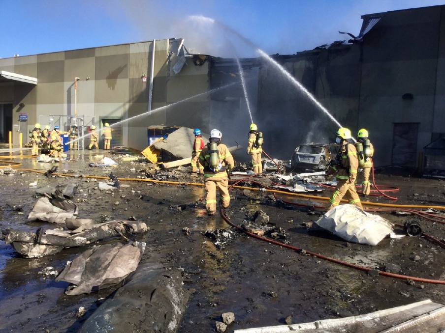
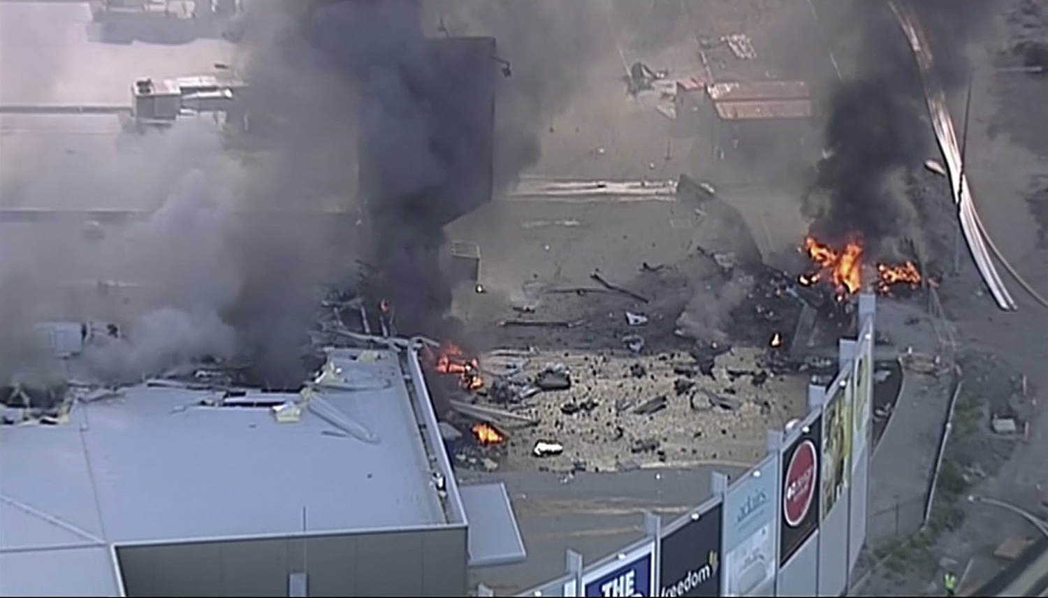
On 21 February 2017, the pilot of a Beechcraft B200 King Air aircraft, registered VH-ZCR (ZCR), and operated by Corporate & Leisure Aviation, was conducting a charter passenger flight from Essendon Airport, Victoria to King Island, Tasmania. There were four passengers on board. ZCR had been removed from a hangar and parked on the apron the previous afternoon in preparation for the flight. The pilot was first seen on the apron at about 0706 Eastern Daylight-saving Time. Closed-circuit television recorded the pilot walking around the aircraft and entering the cabin, consistent with conducting a pre-flight inspection of the aircraft. At about 0712, the pilot entered ZCR’s maintenance provider’s hangar. A member of staff working in the hangar reported that the pilot had a conversation with him that was unrelated to the accident flight. The pilot exited the hangar about 0715 and had a conversation with another member of staff who reported that their conversation was also unrelated to the accident flight. The pilot then returned to ZCR, and over the next 4 minutes he was observed walking around the aircraft. The pilot went into the cabin and re-appeared with an undistinguishable item. The pilot then walked around the aircraft one more time before re-entering the cabin and closing the air stair cabin door. At about 0729, the right engine was started and, shortly after, the left engine was started. Airservices Australia (Airservices) audio recordings indicated that, at 0736, the pilot requested a clearance from Essendon air traffic control (ATC) to reposition ZCR to the southern end of the passenger terminal. ATC provided the clearance and the pilot commenced taxiing to the terminal. At the terminal, ZCR was refueled and the pilot was observed on CCTV to walk around the aircraft, stopping at the left and right engines before entering the cabin. The pilot was then observed to leave the aircraft and wait for the passengers at the terminal. The passengers arrived at the terminal at 0841 and were escorted by the pilot directly to the aircraft. At 0849, the left engine was started and, shortly after, the right engine was started. At 0853, the pilot requested a taxi clearance for King Island, with five persons onboard, under the instrument flight rules. ATC instructed the pilot to taxi to holding point 'TANGO' for runway 17, and provided an airways clearance for the aircraft to King Island with a visual departure. The pilot read back the clearance. Airservices Automatic Dependent Surveillance Broadcast (ADS-B) data (refer to section titled Air traffic services information - Automatic Dependent Surveillance Broadcast data) indicated that, at 0854, ZCR was taxied from the terminal directly to the holding point. The aircraft did not enter the designated engine run-up bay positioned near holding point TANGO. At 0855, while holding at TANGO, the pilot requested a transponder code. The controller replied that he did not have one to issue yet. Two minutes later the pilot contacted ATC and stated that he was ready and waiting for a transponder code. The controller responded with the transponder code and a clearance to lineup on runway 17. At 0858, ATC cleared ZCR for take-off on runway 17 with departure instructions to turn right onto a heading of 200°. The pilot read back the instruction and commenced the takeoff roll. The aircraft’s take-off roll along runway 17 was longer than expected. Witnesses familiar with the aircraft type observed a noticeable yaw to the left after the aircraft became airborne. The aircraft entered a relatively shallow climb and the landing gear remained down. The shallow climb was followed by a substantial left sideslip, while maintaining a roll attitude of less than 10° to the left. Airservices ADS-B data indicated the aircraft reached a maximum height of approximately 160 ft above ground level while tracking in an arc to the left of the runway centreline. The aircraft’s track began diverging to the left of the runway centreline before rotation and the divergence increased as the flight progressed. Following the sustained left sideslip, the aircraft began to descend and at 0858:48 the pilot transmitted on the Essendon Tower frequency repeating the word ‘MAYDAY’ seven times in rapid succession. Approximately 10 seconds after the aircraft became airborne, and 2 seconds after the transmission was completed, the aircraft collided with the roof of a building in the Essendon Airport Bulla Road Precinct - Retail Outlet Centre (outlet centre), coming to rest in a loading area at the rear of the building. CCTV footage from a camera positioned at the rear of the building showed the final part of the accident sequence with post-impact fire evident; about 2 minutes later, first responders arrived onsite. At about 0905 and 0908 respectively, Victoria Police and the Metropolitan Fire Brigade arrived. The pilot and passengers were fatally injured and the aircraft was destroyed. There was significant structural, fire and water damage to the building. Additionally, two people on the ground received minor injuries and a number of parked vehicles were damaged.
Probable cause:
From the evidence available, the following findings are made with respect to the collision with terrain involving Beechcraft B200 King Air, registered VH-ZCR that occurred at Essendon Airport, Victoria on 21 February 2017. These findings should not be read as apportioning blame or liability to any particular organisation or individual.

Contributing factors:
- The aircraft's rudder trim was likely in the full nose-left position at the commencement of the take-off.
- The aircraft's full nose-left rudder trim setting was not detected by the pilot prior to take-off.
- Following a longer than expected ground roll, the pilot took-off with full left rudder trim selected. This configuration adversely affected the aircraft's climb performance and controllability, resulting in a collision with terrain.

Other factors that increased risk:
- The flight check system approval process did not identify that the incorrect checklist was nominated in the operator’s procedures manual and it did not ensure the required checks, related to the use of the cockpit voice recorder, were incorporated.
- The aircraft's cockpit voice recorder did not record the accident flight, resulting in a valuable source of safety related information not being available.
- The aircraft's maximum take-off weight was likely exceeded by about 240 kilograms.
- Two of the four buildings within the Bulla Road Precinct Retail Outlet Centre exceeded the obstacle limitation surface (OLS) for Essendon Airport, however, the OLS for the departure runway was not infringed and VH-ZCR did not collide with those buildings.

Other findings:
- The presence of the building struck by the aircraft was unlikely to have increased the severity of the outcome of this accident.
- Both of the aircraft’s engines were likely to have been producing high power at impact.
Final Report:

Crash of a Boeing 747-412F in Bishkek: 39 killed

Date & Time: Jan 16, 2017 at 0719 LT
Type of aircraft:
Operator:
Registration:
TC-MCL
Flight Type:
Survivors:
No
Site:
Schedule:
Hong Kong - Bishkek - Istanbul
MSN:
32897/1322
YOM:
2003
Flight number:
TK6491
Country:
Region:
Crew on board:
4
Crew fatalities:
Pax on board:
0
Pax fatalities:
Other fatalities:
Total fatalities:
39
Captain / Total flying hours:
10808
Captain / Total hours on type:
820.00
Copilot / Total flying hours:
5894
Copilot / Total hours on type:
1758
Aircraft flight hours:
46820
Aircraft flight cycles:
8308
Circumstances:
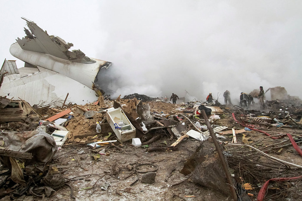
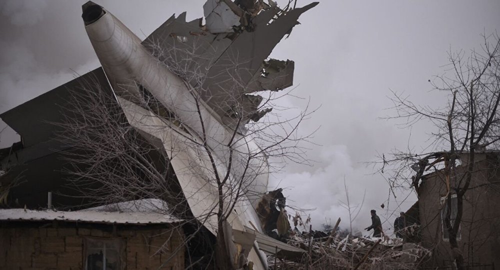
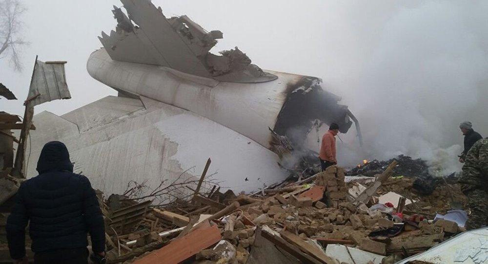
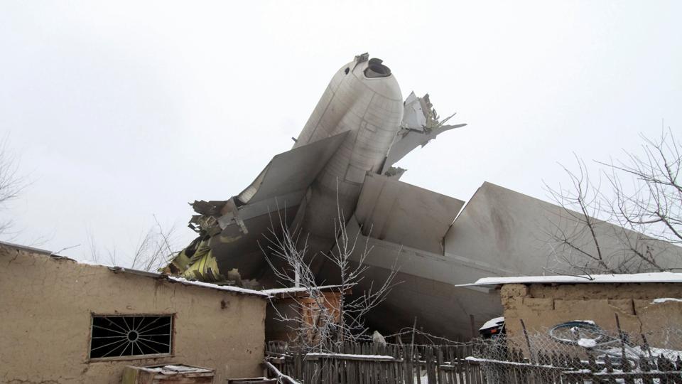
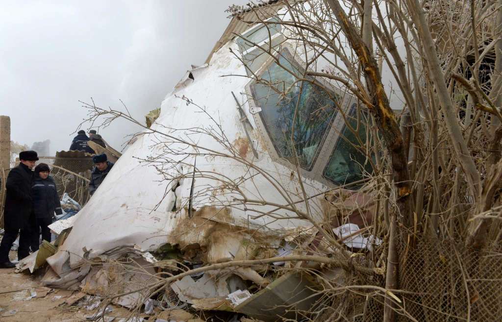
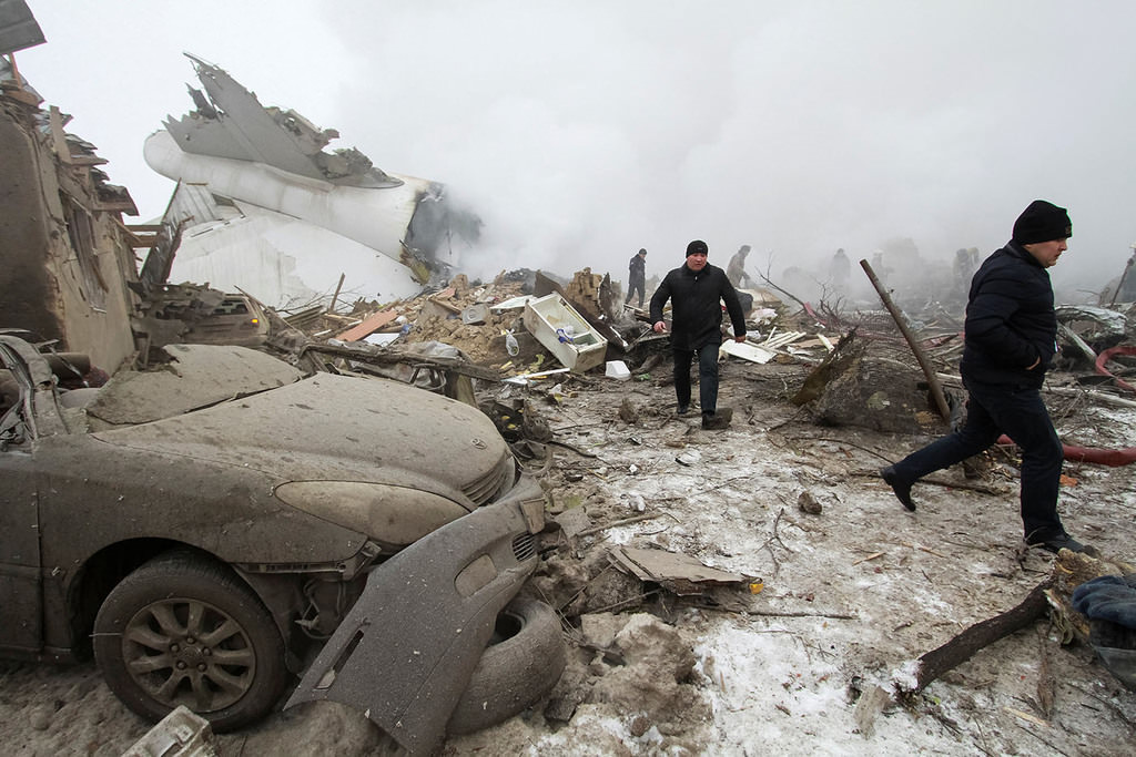
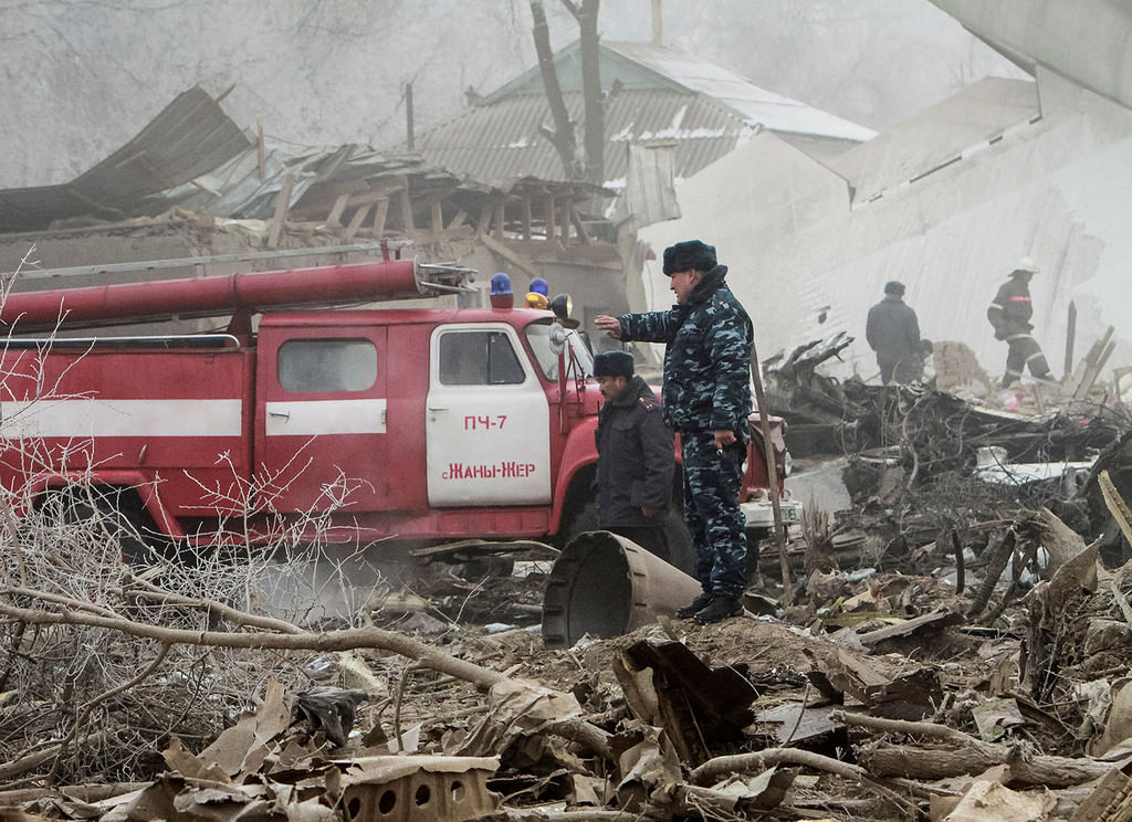
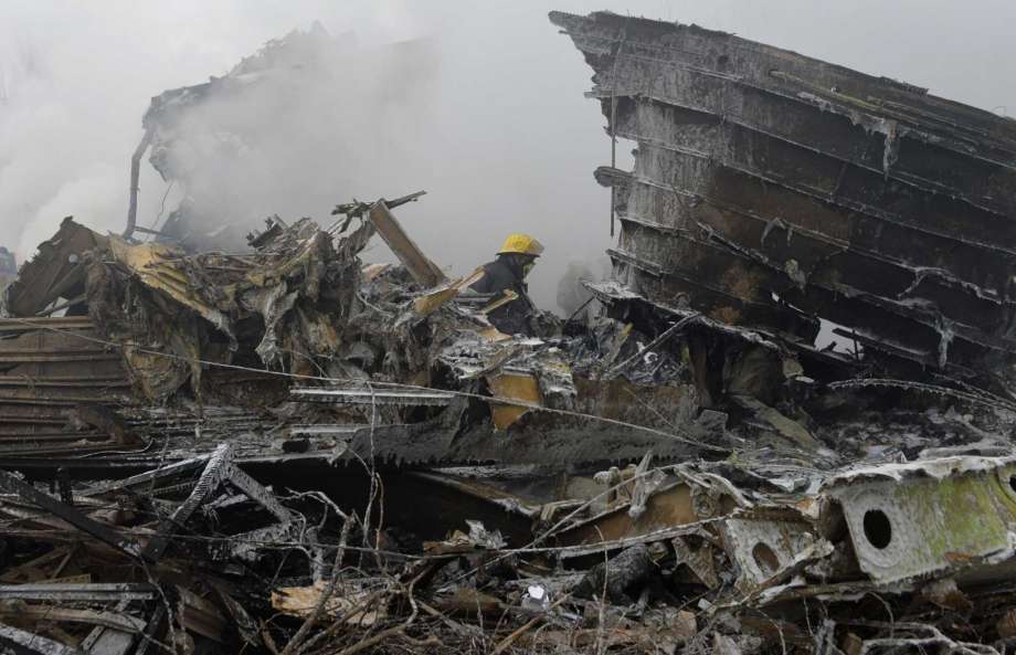
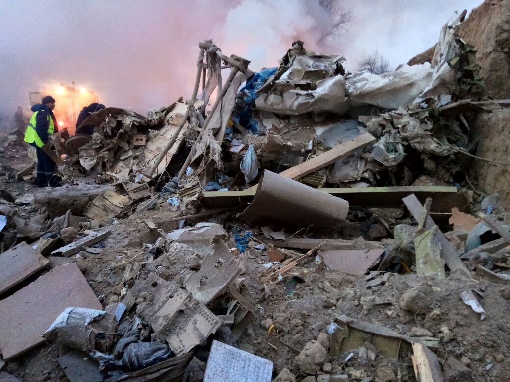
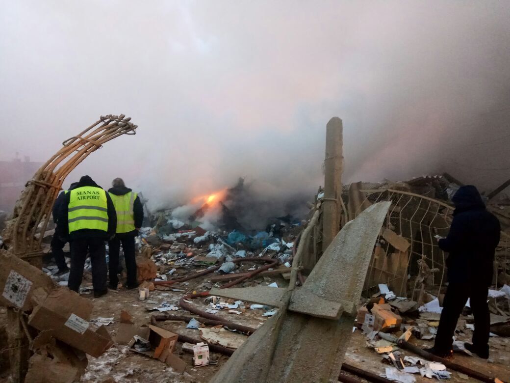
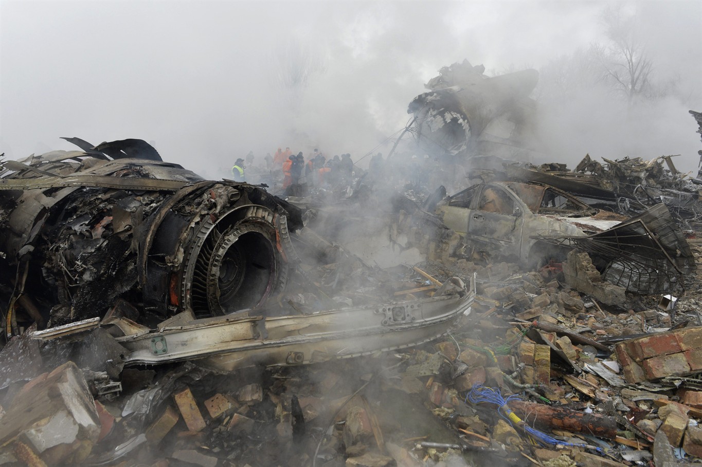
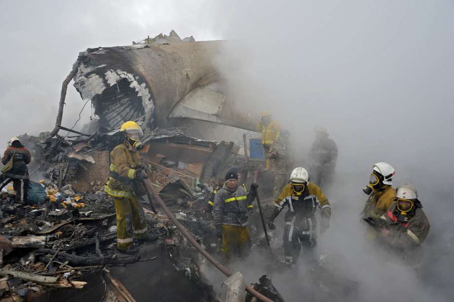
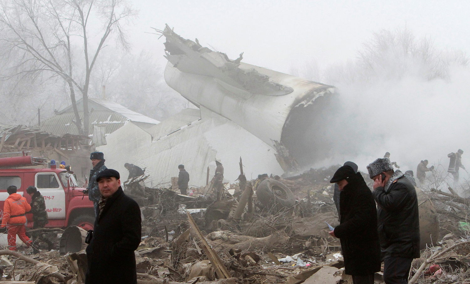
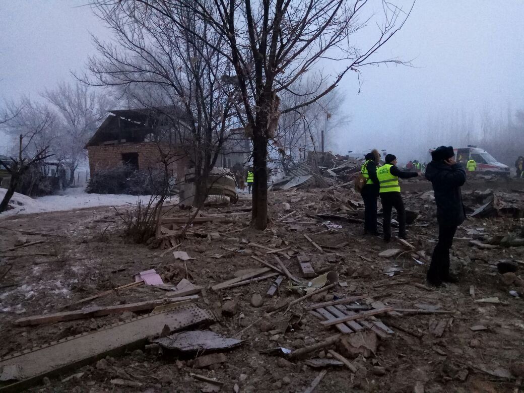
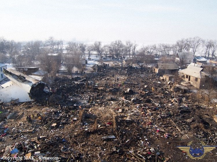
On 16.01.2017, the crew of the Boeing 747-412F TC-MCL aircraft was performing a THY6491 flight from Hong Kong via Bishkek (Manas Airport) to Istanbul (Ataturk Airport) in order to transport the commercial cargo (public consumer goods) of 85 618 kg. The cargo was planned to be offloaded in Istanbul (Ataturk Airport). Manas Airport was planned as a transit airport for crew change and refueling. From 12.01.2017 to 15.01.2017, the crew had a rest period of 69 h in a hotel in Hong Kong. The aircraft takeoff from the Hong Kong Airport was performed at 19:12 on 5.01.2017, with the delay of 2 h 02 min in respect to the planned takeoff time. During the takeoff, the climb and the on-route cruise flight, the aircraft systems operated normally. At 00:41, on 16.01.2017, the aircraft entered the Bishkek ATC Area Control Center over the reference point of KAMUD at flight level of 10 400 m (according to the separation system, established in the People's Republic of China). At 00:51, the crew requested a descent and reached the FL 220 (according to the separation system, established in the Kyrgyz Republic). At 00:59, the crew received the weather information for Manas Airport: "the RVR at the RWY threshold 400 m, the RWY midpoint and RWY end 300 m, the vertical visibility 130 ft". At 01:01, the crew received the specified data: " in the center of the runway RVR three zero zero meters, vertical visibility one five zero feet." At 01:03, the crew requested a descent, the controller cleared for the descent not below FL 180. At 01:05, the crew was handed over to the Approach Control. At 01:06, the crew was cleared for the descent to FL 60, TOKPA 1 ILS approach chart, RWY 26. At 01:10, the controller reported the weather: wind calm, visibility 50 m, RVR 300 m, freezing fog, vertical visibility 160 ft, and requested the crew if they would continue the approach. The crew reported that they would continue the approach. The crew conducted the approach to RWY 26 in accordance with the standard approach chart. At 01:11, the controller informed the crew: "… transition level six zero" and cleared them for the ILS approach to RWY 26. At 01:15, the crew contacted the Tower controller. The Tower controller cleared them for landing on RWY 26 and reported the weather: "…wind calm… RVR in the beginning of the runway four hundred meters, in the middle point three hundred two five meters and at the end of the runway four hundred meters and vertical visibility one six zero... feet". The aircraft approached the RWY 26 threshold at the height significantly higher than the planned height. Continuing to descend, the aircraft flew over the entire length of the RWY and touched the ground at the distance of 900 m away from the farthest end of the runway (in relation to the direction of the approach) (the RWY 08 threshold). After the touchdown and landing roll, the aircraft impacted the concrete aerodrome barrier and the buildings of the suburban settlement and started to disintegrate, the fuel spillage occurred. As a result of the impact with the ground surface and the obstacles, the aircraft was completely disintegrated, a significant part of the aircraft structure was destroyed by the post-crash ground fire. At 01.17 UTC, the Tower controller requested the aircraft position, but the crew did not respond.
Probable cause:
The cause of the Boeing 747-412F TC-MCL aircraft accident was the missing control of the crew over the aircraft position in relation to the glideslope during the automatic approach, conducted at night in the weather conditions, suitable for ICAO CAT II landing, and as a result, the measures to perform a go-around, not taken in due time with the aircraft, having a significant deviation from the established approach chart, which led to the controlled flight impact with terrain (CFIT) at the distance of ≈930 m beyond the end of the active RWY.
The contributing factors were, most probably, the following:
- the insufficient pre-flight briefing of the flight crew members for the flight to Manas aerodrome (Bishkek), regarding the approach charts, as well as the non-optimal decisions taken by the crew when choosing the aircraft descent parameters, which led to the arrival at the established approach chart reference point at a considerably higher flight altitude;
- the lack of the crew's effective measures to decrease the aircraft vertical position and its arrival at the established approach chart reference point while the crew members were aware of the actual aircraft position being higher than required by the established chart;
- the lack of the requirements in the Tower controllers' job instructions to monitor for considerable aircraft position deviations from the established charts while the pertinent technical equipment for such monitoring was available;
- the excessive psycho-emotional stress of the crew members caused by the complicated approach conditions (night time, CAT II landing, long-lasting working hours) and their failure to eliminate the flight altitude deviations during a long time period. Additionally, the stress level could have been increased due to the crew's (especially the PIC's) highly emotional discussion of the ATC controllers' instructions and actions. Moreover, the ATC controllers' instructions and actions were in compliance with the established operational procedures and charts;
- the lack of the crew members' monitoring for crossing the established navigational reference points (the glideslope capture point, the LOM and LIM reporting points);
- the crew's failure to conduct the standard operational procedure which calls for altitude verification at the FAF/FAP, which is stated in the FCOM and the airline's OM. On the other hand, the Jeppesen Route Manual, used by the crew, contains no FAF/FAP in the RWY 26 approach chart;
- the onboard systems' "capture" of the false glideslope beam with the angle of ≈9°;
- the design features of the Boeing 747-400 aircraft type regarding the continuation of the aircraft approach descent in the automatic mode with the constant descent angle of 3° (the inertial path) with the maintained green indication of the armed automatic landing mode (regardless of the actual aircraft position in relation to the RWY) while the aircraft systems detected that the glideslope signal was missing (after the glideslope signal "capture"). With that, the crew received the designed annunciation, including the aural and visual caution alerts;
- the absence of the red warning alert for the flight crew in case of a "false" glideslope capture and the transition to the inertial mode trajectory, which would require immediate control actions from the part of the crew;
- the lack of monitoring from the part of the crew over the aircraft position in regard to the approach chart, including the monitoring by means of the Navigation Display (ND), engaged in the MAP mode;
- the crew's failure to conduct the Airline's Standard Operational Procedures (SOPs), regarding the performance of the go-around procedure in case the "AUTOPILOT" (the AP switching to the inertial mode) and "GLIDESLOPE" (the EGPWS annunciation of the significant glideslope deviation) alerts during the automatic CAT II landing at true heights below 1000 ft (with no visual reference established with either the runway environment or with the lighting system);
- the delayed actions for initiating the go-around procedure with no visual reference established with the runway environment at the decision height (DH). In fact, the actions were initiated at the true height of 58 ft with the established minimum of 99 ft.
Final Report:

Crash of an Epic LT in Port Orange: 2 killed

Date & Time: Dec 27, 2016 at 1756 LT
Type of aircraft:
Registration:
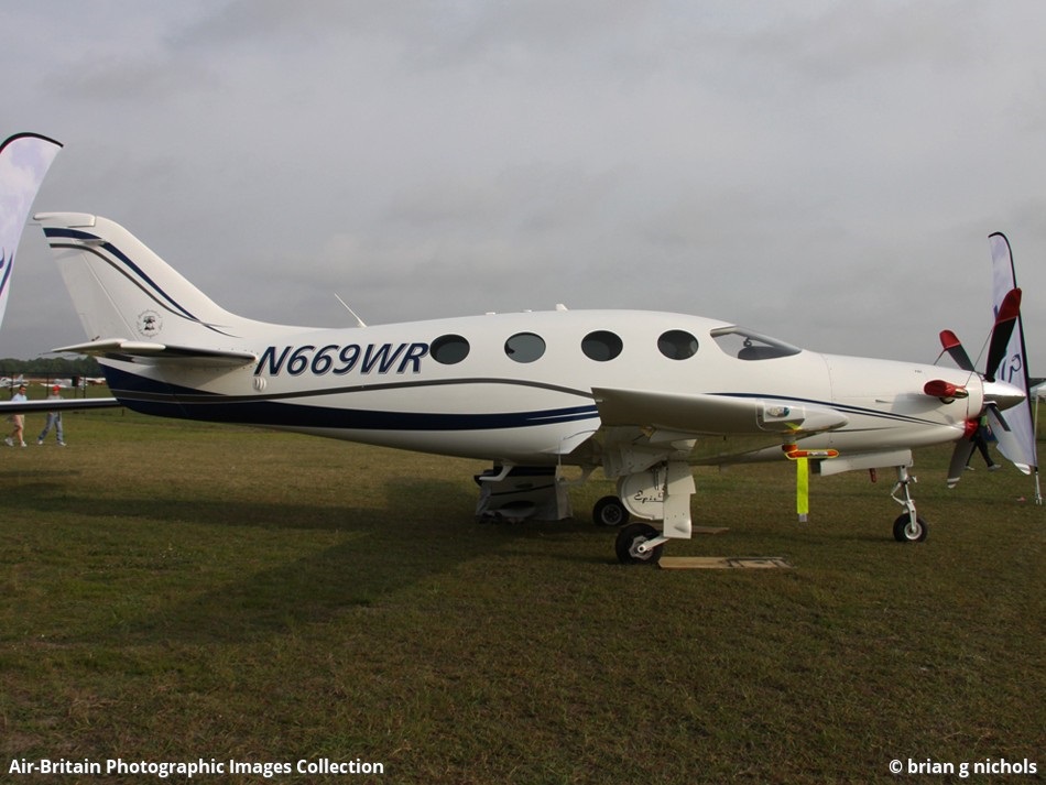
N669WR
Flight Type:
Survivors:
No
Site:
Schedule:
Millington – Port Orange
MSN:
029
YOM:
2009
Crew on board:
1
Crew fatalities:
Pax on board:
1
Pax fatalities:
Other fatalities:
Total fatalities:
2
Captain / Total flying hours:
4246
Captain / Total hours on type:
956.00
Aircraft flight hours:
822
Circumstances:
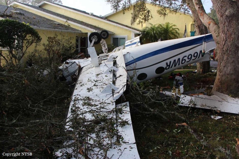
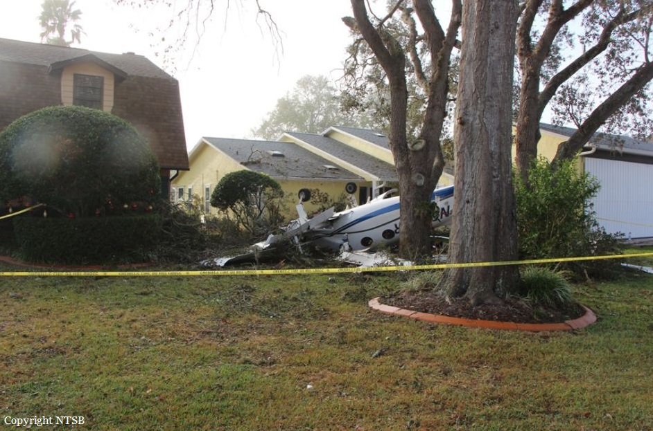
The private pilot obtained a full weather briefing before departing on a long cross-country flight. The destination airport was forecast to be under visual meteorological conditions, but there was an AIRMET and Center Weather Advisory (CWA) issued for low instrument flight rules (IFR) conditions later that day. The briefer told the pilot to check the weather again en route to see if the AIRMET and CWA had been updated. At the time the pilot stopped for fuel, another CWA was issued for low IFR conditions at his destination airport; however, there were no records to indicate that the pilot obtained this information during the fuel stop or after departing on the last leg of the flight. A review of air traffic control communications revealed that, about 10 minutes before arriving at the airport, the pilot reported that he had obtained the current weather conditions at his destination airport. The most recent observation, about 1 hour before the accident indicated good visibility; however, the weather reporting equipment did not provide ceiling heights. It is unknown if the pilot obtained weather information from nearby airports, which were reporting low instrument meteorological conditions (visibility between 1/4 and 1/2 mile and ceilings 200-300 ft above ground level [agl]). Additionally, three pilot reports (PIREPs) describing the poor weather conditions were filed within the hour before the accident. The controller did not relay the PIREPs or the CWA information to the pilot, so the pilot was likely unaware of the deteriorating conditions. Based on radar information and statements from witnesses, the pilot's approach to the airport was unstabilized. He descended below the minimum descent altitude of 440 ft, and, after breaking through the fog about 100 ft agl, the airplane reentered the fog and completed a 360° right turn near the approach end of the runway, during which its altitude varied from 100 ft to 300 ft. The airplane then climbed to an altitude about 800 ft before radar contact was lost near the accident site. The airplane came to rest inverted, consistent with one witness's statement that it descended through the clouds in a spin before impact; post accident examination revealed no preimpact anomalies with the airplane or engine that would have precluded normal operation. Although the pilot was instrument rated, his recent instrument experience could not be established. The circumstances of the accident, including the restricted visibility conditions and the pilot's maneuvering of the airplane before the impact, are consistent with a spatial disorientation event. It is likely that the pilot experienced a loss of control due to spatial disorientation, which resulted in an aerodynamic stall and spin.
Probable cause:
The pilot's loss of airplane control due to spatial disorientation, which resulted in the exceedance of the airplane's critical angle of attack and an aerodynamic stall/spin. Contributing to the accident was the pilot's failure to fly a stabilized approach consistent with the published instrument approach procedure.
Final Report:

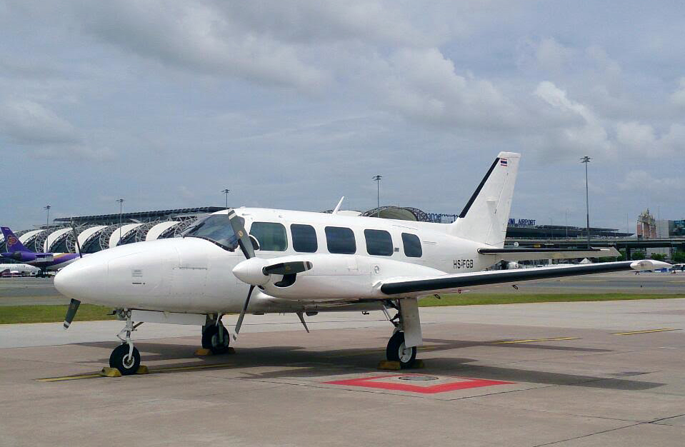
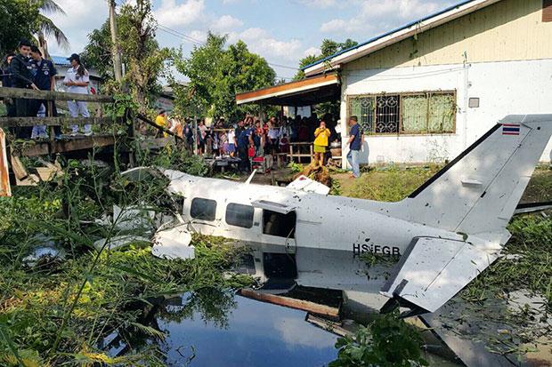
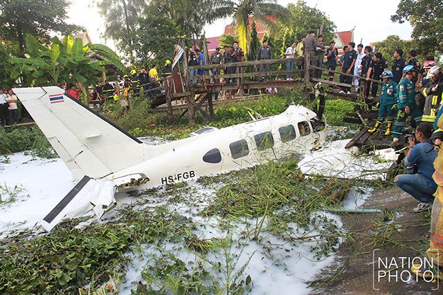
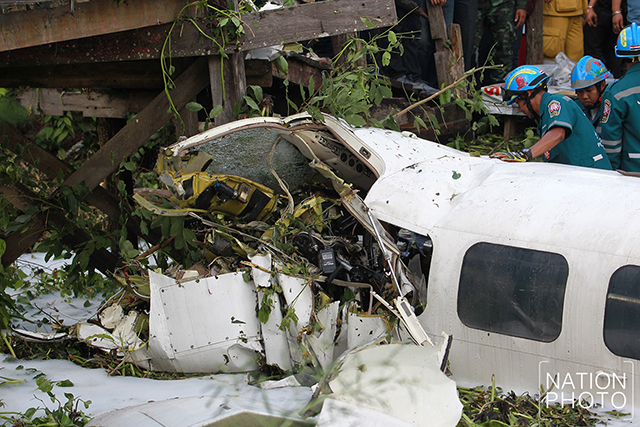
Crash of a Piper PA-31-350 Navajo Chieftain in Bangkok: 1 killed

Date & Time: Aug 1, 2016 at 1605 LT
Operator:
Registration:
HS-FGB
Survivors:
Yes
Site:
Schedule:
Nakhon Ratchasima – Bangkok
MSN:
31-7652156
YOM:
1976
Flight number:
TRB106
Country:
Region:
Crew on board:
2
Crew fatalities:
Pax on board:
2
Pax fatalities:
Other fatalities:
Total fatalities:
1
Circumstances:
While descending to Bangkok-Suvarnabhumi Airport, the twin engine aircraft crashed in unknown circumstances in a swamp and came to rest against a wood bridge. The wreckage was found about 15 km from the airport, along the borders of Nong Chok and Min Buri districts. The captain was killed while three other occupants were injured.