Country
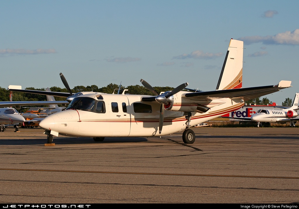
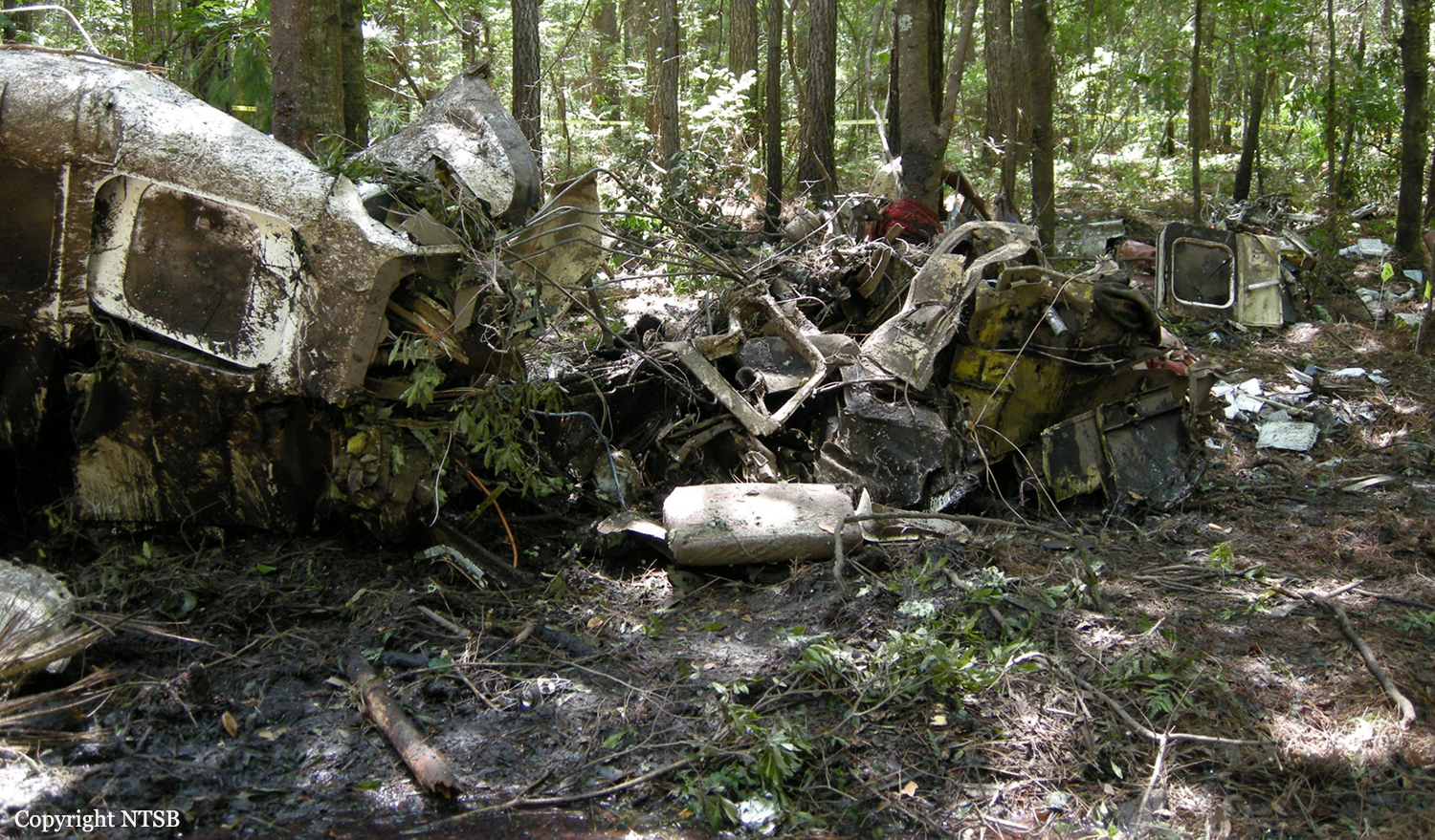
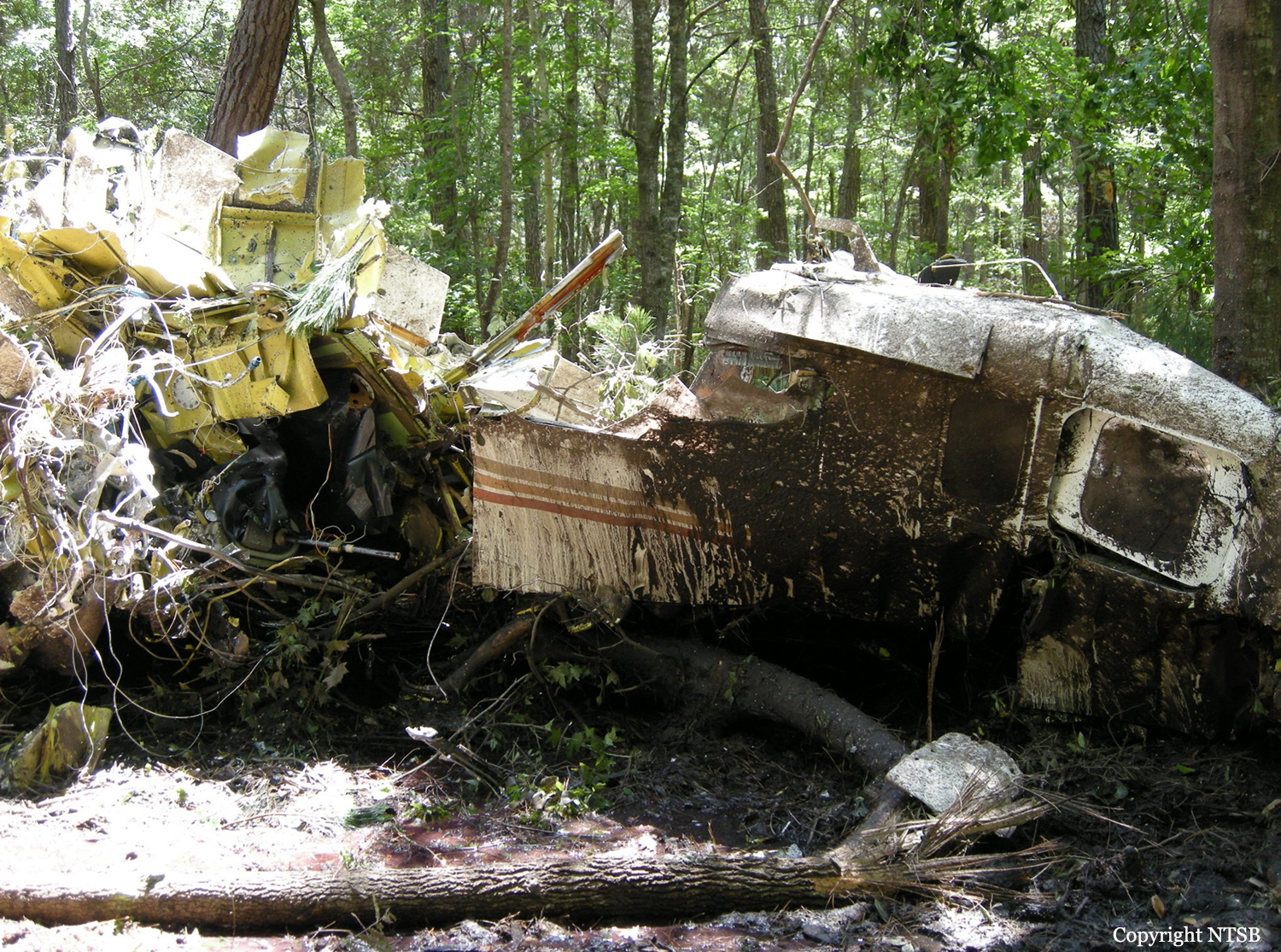
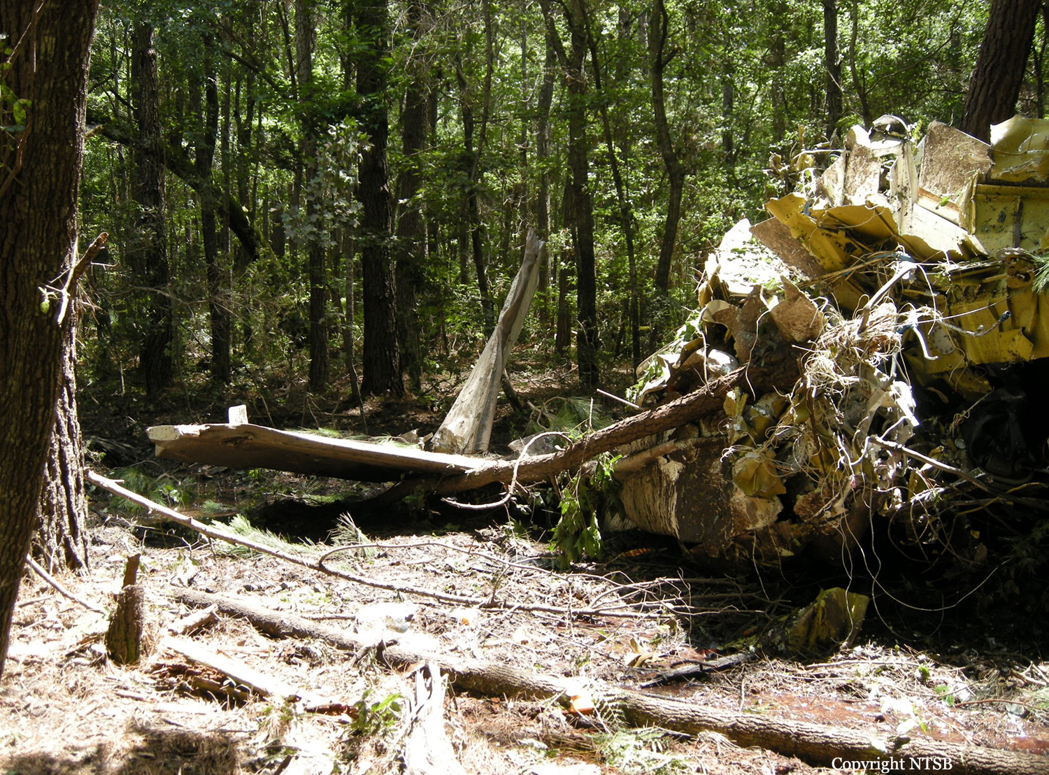
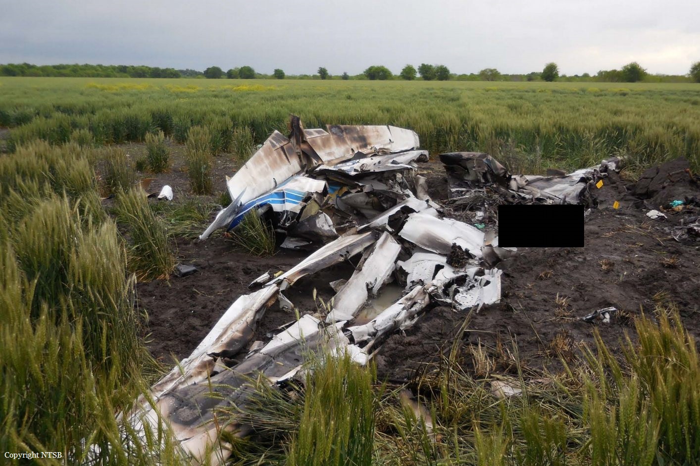
Crash of a Rockwell Grand Commander 690B in Hare: 2 killed
Date & Time:
Apr 9, 2016 at 0951 LT
Registration:
N690TH
Survivors:
No
Schedule:
Georgetown - Georgetown
MSN:
11487
YOM:
1978
Crew on board:
2
Crew fatalities:
Pax on board:
0
Pax fatalities:
Other fatalities:
Total fatalities:
2
Captain / Total hours on type:
65.00
Aircraft flight hours:
9002
Circumstances:
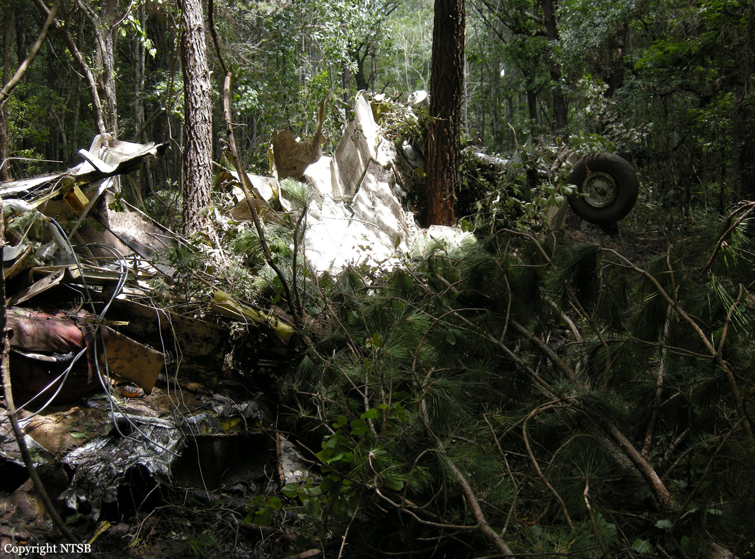
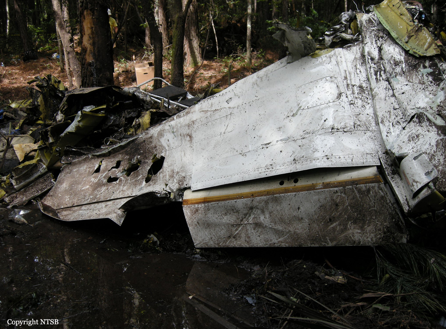
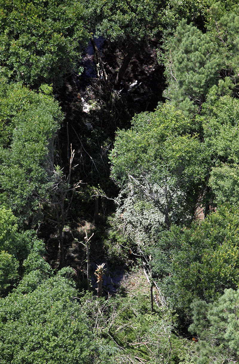
The private pilot, who was the owner of the airplane, and a flight instructor were performing a recurrent training flight. Radar data showed that the airplane departed and climbed to an altitude about 5,000 ft above ground level. About 5 minutes after takeoff, the airplane conducted a left 360° turn followed by a right 360° turn, then continued in level flight for about 2 minutes as it slowed to a groundspeed of about 90 knots, which may have been indicative of airwork leading to slow flight or stall maneuvers. The airplane then entered a steep bank and impacted the ground in a nose-low attitude. Both engines and propellers displayed evidence of operation at the time of impact, and postaccident examination revealed no mechanical anomalies that would have precluded normal operation of the airframe or engines. The instructor had a history of obstructive sleep apnea. The investigation was unable to determine how well the condition was controlled, if he had symptoms from the condition, or if it contributed to the accident. Toxicology testing revealed low levels of ethanol in specimens from both pilots; however, it is likely that some or all of the ethanol detected was a result of postmortem production, and it is unlikely that alcohol impairment contributed to the accident. Toxicology testing also detected the primary psychoactive compound of marijuana, tetrahydrocannabinol (THC), and its metabolite, tetrahydrocannabinol carboxylic acid (THCCOOH), in specimens obtained from comingled remains; the investigation was unable to reliably determine which pilot had used the impairing illicit drug. Additionally, it is not possible to determine impairment from tissue specimens; therefore, the investigation was unable to determine whether THC impaired either of the pilots or if it may have contributed to the accident.
Probable cause:
A loss of control while maneuvering for reasons that could not be determined because postaccident examination did not reveal any mechanical malfunctions or anomalies with the
airplane.
airplane.
Final Report:
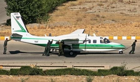
Crash of a Rockwell Grand Commander 690 near Zāhedān: 7 killed
Date & Time:
Oct 12, 2014 at 1920 LT
Registration:
1405
Survivors:
No
Schedule:
Tehran - Zahedan
MSN:
690-11075
YOM:
1972
Crew on board:
3
Crew fatalities:
Pax on board:
4
Pax fatalities:
Other fatalities:
Total fatalities:
7
Circumstances:
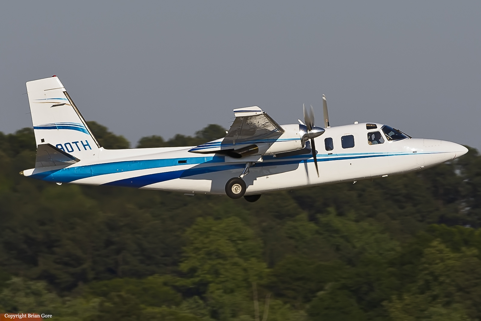
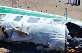
The twin engine aircraft was flying to Zahedan with a crew of three (two pilots and a flight attendant) and four passengers, among them General Mahmoud Sadeqi, a senior police officer who was travelling to Zahedan to investigate the circumstances of a recent attack that killed four police officers. While approaching Zahedan by night, the crew failed to realize his altitude was too low when the airplane struck the slope of a mountain located in the Sabzpushan Heights, north of the airport. The wreckage was found the following morning. All seven occupants were killed. A day later, Iranian Authorities said the accident was caused by technical flaws, darkness and the pilot’s unfamiliarity with the region.

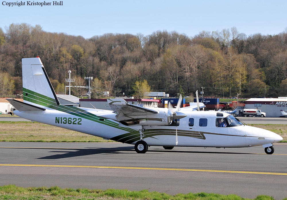
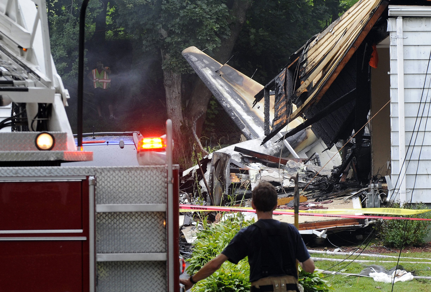
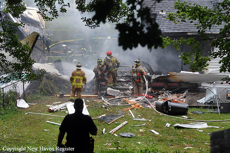
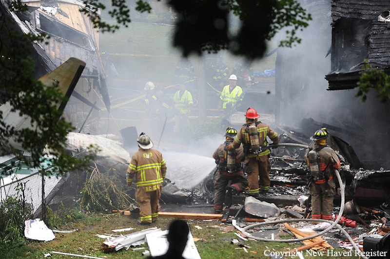
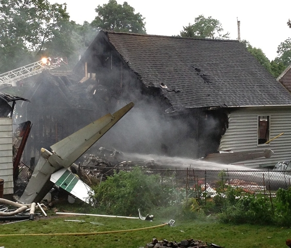
Crash of a Rockwell 690B Turbo Commander in New Haven: 4 killed
Date & Time:
Aug 9, 2013 at 1121 LT
Registration:
N13622
Survivors:
No
Schedule:
Teterboro - New Haven
MSN:
11469
YOM:
1978
Crew on board:
1
Crew fatalities:
Pax on board:
1
Pax fatalities:
Other fatalities:
Total fatalities:
4
Aircraft flight hours:
8827
Circumstances:
The pilot was attempting a circling approach with a strong gusty tailwind. Radar data and an air traffic controller confirmed that the airplane was circling at or below the minimum descent altitude of 720 feet (708 feet above ground level [agl]) while flying in and out of an overcast ceiling that was varying between 600 feet and 1,100 feet agl. The airplane was flying at 100 knots and was close to the runway threshold on the left downwind leg of the airport traffic pattern, which would have required a 180-degree turn with a 45-degree or greater bank to align with the runway. Assuming a consistent bank of 45 degrees, and a stall speed of 88 to 94 knots, the airplane would have been near stall during that bank. If the bank was increased due to the tailwind, the stall speed would have increased above 100 knots. Additionally, witnesses saw the airplane descend out of the clouds in a nose-down attitude. Thus, it was likely the pilot encountered an aerodynamic stall as he was banking sharply, while flying in and out of clouds, trying to align the airplane with the runway. Toxicological testing revealed the presence of zolpidem, which is a sleep aid marketed under the brand name Ambien; however, the levels were well below the therapeutic range and consistent with the pilot taking the medication the evening before the accident. Therefore, the pilot was not impaired due to the zolpidem. Examination of the wreckage did not reveal any preimpact mechanical malfunctions.
Probable cause:
The pilot's failure to maintain airspeed while banking aggressively in and out of clouds for landing in gusty tailwind conditions, which resulted in an aerodynamic stall and uncontrolled descent.
Final Report:

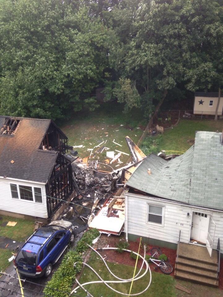
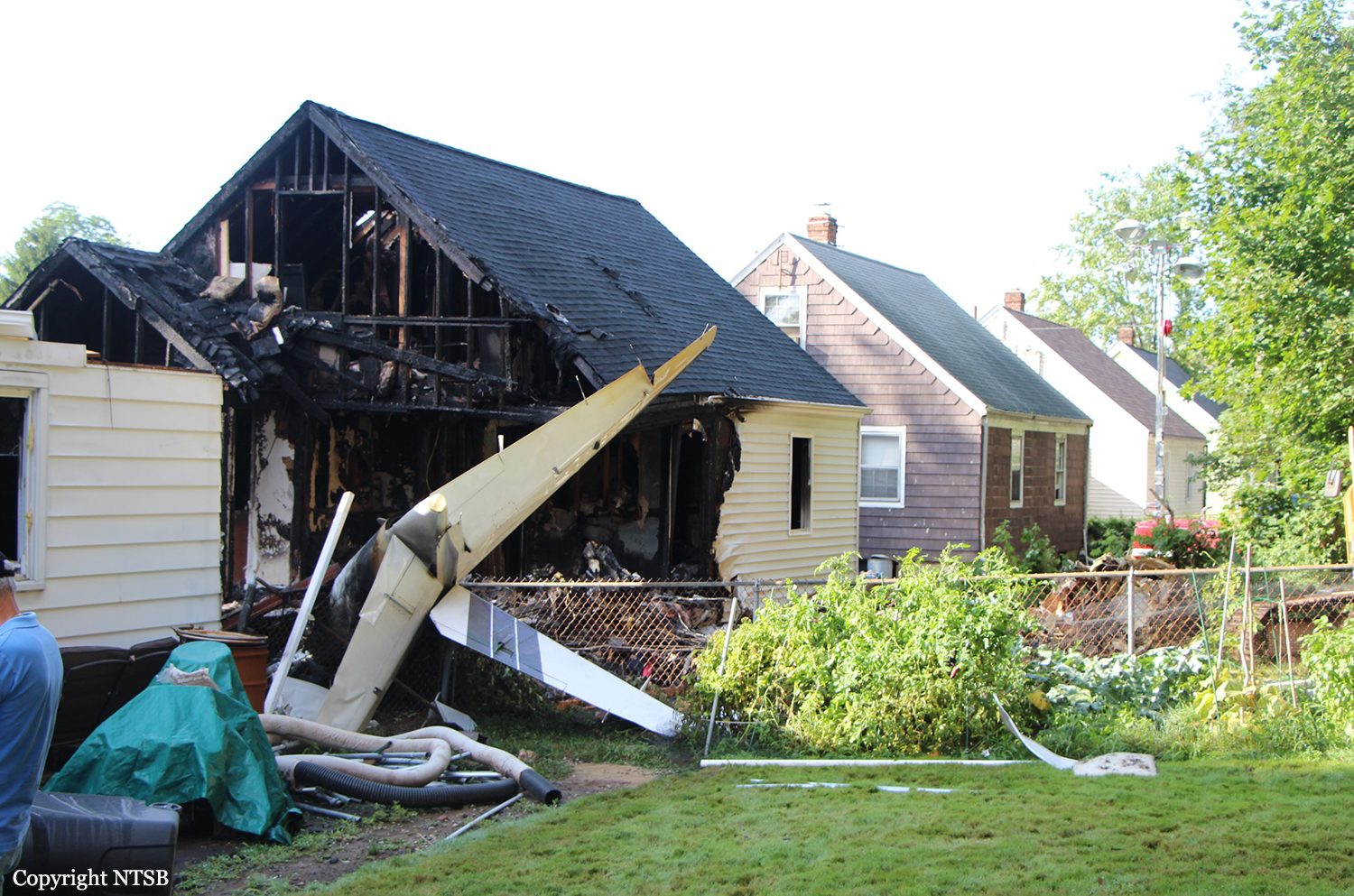
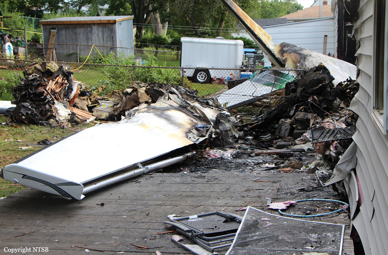
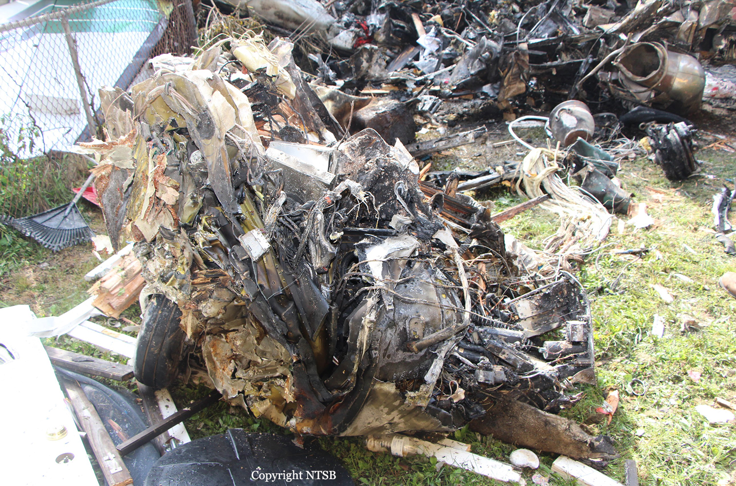
Crash of a Rockwell 690B Turbo Commander in McClellanville: 2 killed
Date & Time:
Jun 20, 2013 at 1648 LT
Registration:
N727JA
Survivors:
No
Schedule:
Charleston - Charleston
MSN:
11399
YOM:
1977
Crew on board:
2
Crew fatalities:
Pax on board:
0
Pax fatalities:
Other fatalities:
Total fatalities:
2
Aircraft flight hours:
12193
Circumstances:
The purpose of the flight was for the pilot to accomplish a flight review with a flight instructor. According to air traffic control records, after takeoff, the pilot handling radio communications requested maneuvering airspace for airwork in an altitude block of 13,000 to 15,000 feet mean sea level (msl). About 8 minutes later, the air traffic controller asked the pilot to state his heading, but he did not respond. A review of recorded radar data revealed that, about 14,000 msl and 3 miles southeast of the accident site, the airplane made two constant-altitude 360-degree turns and then proceeded on a north-northeasterly heading for about 2.5 miles. The airplane then abruptly turned right and lost altitude, which is consistent with a loss of airplane control. The airplane continued to rapidly descend until it impacted trees and terrain on a southerly heading. No discernible distress calls were noted. The wreckage was found generally fragmented, and all of the airplane’s structural components and flight control surfaces were accounted for within the wreckage debris path. Subsequent examination of the engines revealed evidence of rotation and operation at impact and no mechanical malfunctions or failures that would have precluded normal operation.
Probable cause:
The pilot’s loss of airplane control during high-altitude maneuvering and his subsequent failure to recover airplane control. Contributing to the accident was the flight instructor’s
inadequate supervision of the pilot and his failure to perform remedial action.
inadequate supervision of the pilot and his failure to perform remedial action.
Final Report:
