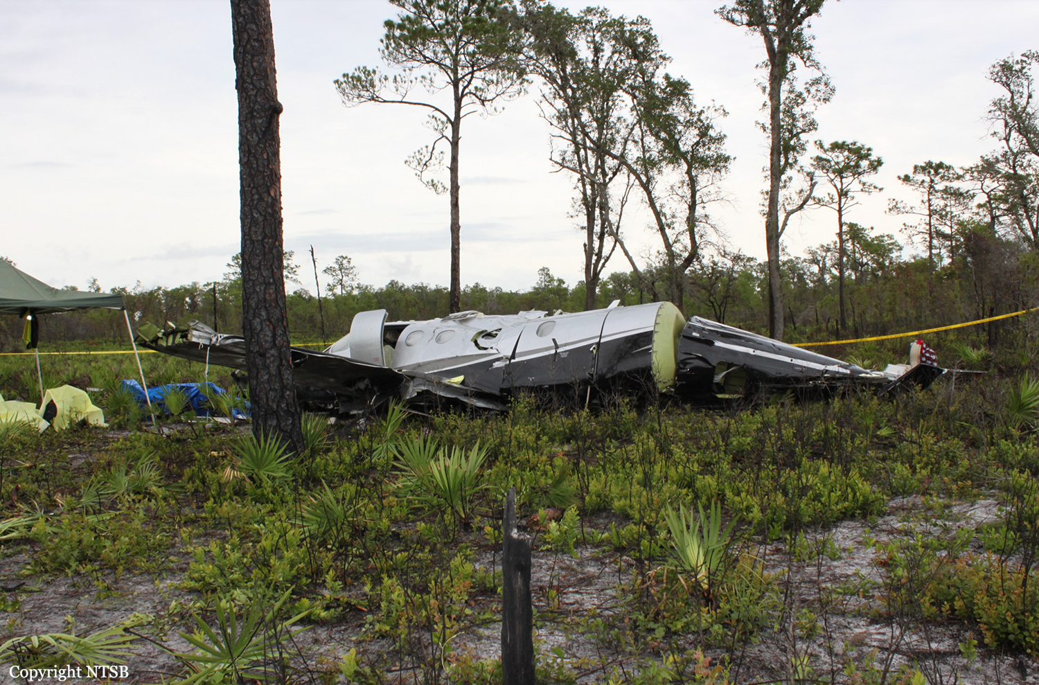
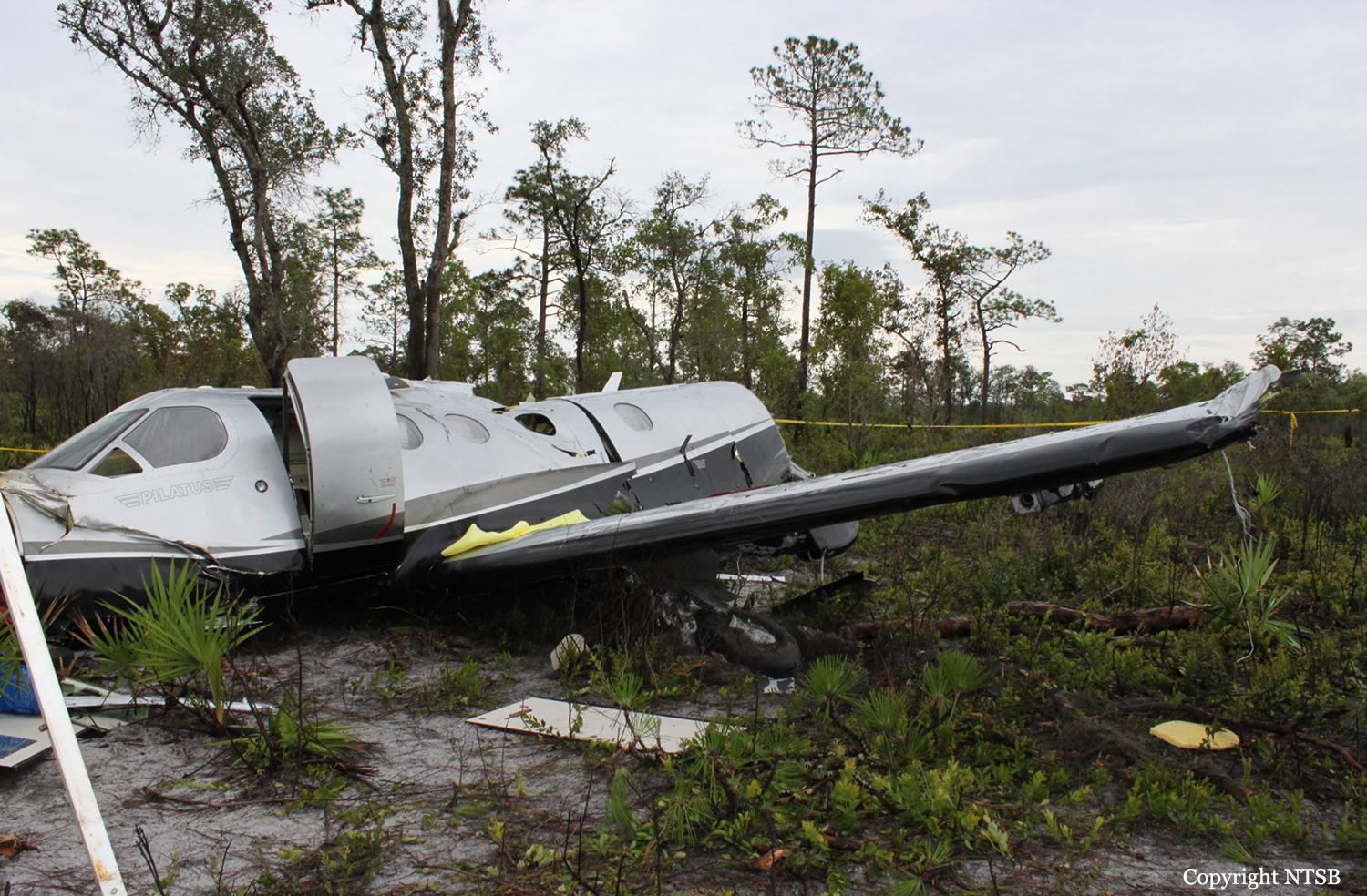
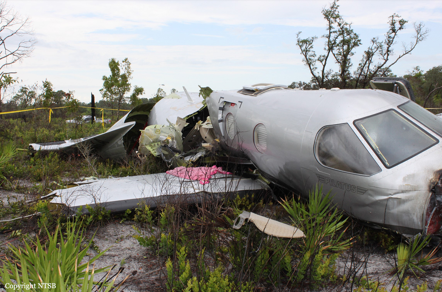
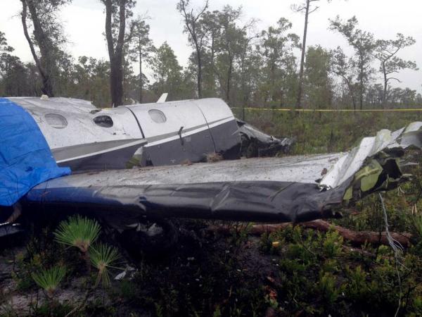
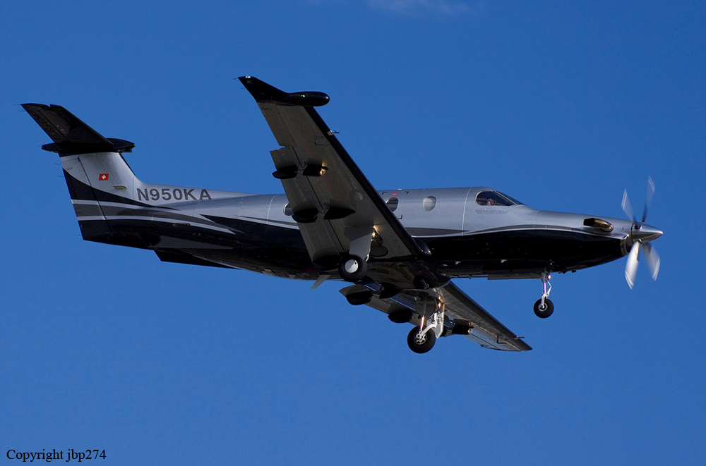
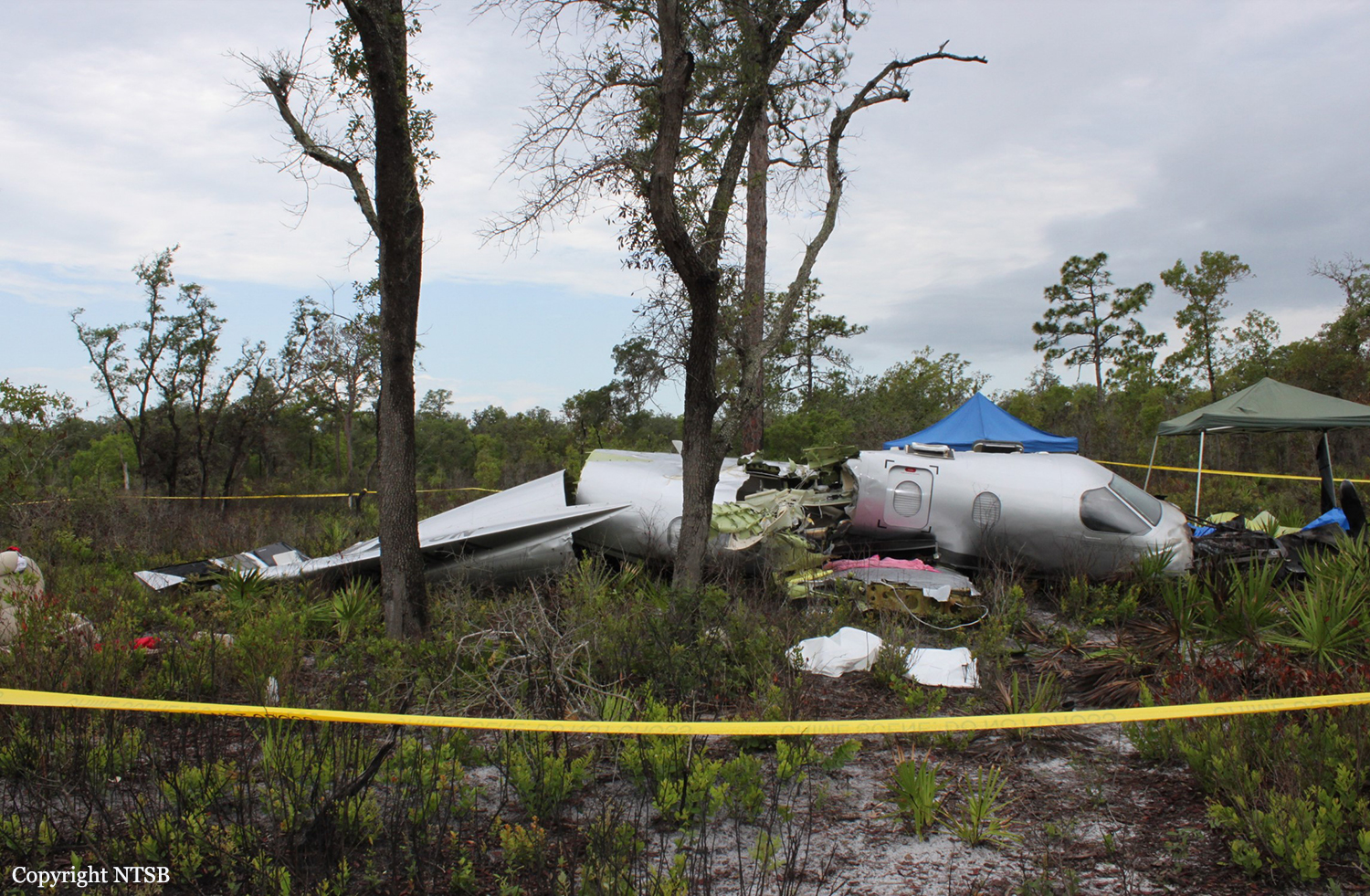
Crash of a Pilatus PC-12/47 in Lake Wales: 6 killed

Date & Time: Jun 7, 2012 at 1235 LT
Type of aircraft:
Registration:
N950KA
Flight Phase:
Flight Type:
Survivors:
No
Schedule:
Fort Pierce - Junction City
MSN:
730
YOM:
2006
Crew on board:
1
Crew fatalities:
Pax on board:
5
Pax fatalities:
Other fatalities:
Total fatalities:
6
Captain / Total flying hours:
755
Captain / Total hours on type:
38.00
Aircraft flight hours:
1263
Circumstances:
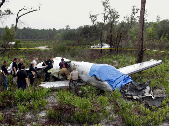
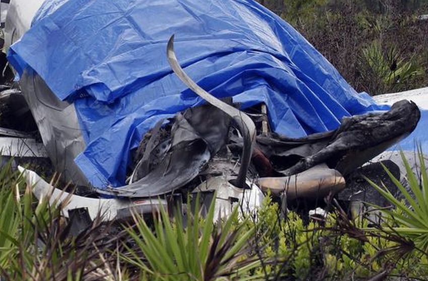
The airplane, registered to and operated by Roadside Ventures, LLC, departed controlled flight followed by subsequent inflight breakup near Lake Wales, Florida. Instrument meteorological conditions prevailed at the altitude and location of the departure from controlled flight and an instrument flight rules (IFR) flight plan was filed for the 14 Code of Federal Regulations (CFR) Part 91 personal flight from St Lucie County International Airport (FPR), Fort Pierce, Florida, to Freeman Field Airport (3JC), Junction City, Kansas. The airplane was substantially damaged and the private pilot and five passengers were fatally injured. The flight originated from FPR about 1205. After departure while proceeding in a west-northwesterly direction and climbing, air traffic control communications were transferred to Miami Air Route Traffic Control Center (Miami ARTCC). The pilot remained in contact with various sectors of that facility from 1206:41, to the last communication at 1233:16. About 6 minutes after takeoff the pilot was advised by the Miami ARTCC Stoop Sector radar controller of an area of moderate to heavy precipitation twelve to two o'clock 15 miles ahead of the airplane's position; the returns were reported to be 30 miles in diameter. The pilot asked the controller if he needed to circumnavigate the weather, to which the controller replied that deviations north of course were approved and when able to proceed direct LAL, which he acknowledged. A trainee controller and a controller providing oversight discussed off frequency that deviation to the south would be better. The controller then questioned the pilot about his route, to which he replied, and the controller then advised the pilot that deviations south of course were approved, which he acknowledged. The flight continued in generally a west-northwesterly direction, or about 290 degrees, and at 1230:11, while at flight level (FL) 235, the controller cleared the flight to FL260, which the pilot acknowledged. At 1232:26, the aircraft's central advisory and warning system (CAWS) recorded that the pusher system went into "ice mode" indicating the pilot had selected the propeller heat on and inertial separator open. At that time the aircraft's engine information system (EIS) recorded the airplane at 24,668 feet pressure altitude, 110 knots indicated airspeed (KIAS), and an outside air temperature of minus 11 degrees Celsius. At 1232:36, the Miami ARTCC Avon Sector radar controller advised the pilot of a large area of precipitation northwest of Lakeland, with moderate, heavy and extreme echoes in the northwest, and asked him to look at it and to advise what direction he needed to deviate, then suggested deviation right of course until north of the adverse weather. The pilot responded that he agreed, and the controller asked the pilot what heading from his position would keep the airplane clear, to which he responded at 1233:04 with, 320 degrees. At 1233:08, the Miami ARTCC Avon Sector radar controller cleared the pilot to fly heading 320 degrees or to deviate right of course when necessary, and when able proceed direct to Seminole, which he acknowledged at 1233:16. There was no further recorded communication from the pilot with the Miami ARTCC. Radar data showed that between 1233:08, and 1233:26, the airplane flew on a heading of approximately 290 degrees, and climbed from FL250 to FL251, while the EIS recorded for the same time the airplane was at either 109 or 110 KIAS and the outside air temperature was minus 12 degrees Celsius. The radar data indicated that between 1233:26 and 1233:31, the airplane climbed to FL252 (highest recorded altitude from secondary radar returns). At 1233:30, while at slightly less than 25 degrees of right bank based on the NTSB Radar Performance Study based on the radar returns, 109 KIAS, 25,188 feet and total air temperature of minus 12 degrees Celsius based on the data downloaded from the CAWS, autopilot disengagement occurred. This was recorded on the CAWS 3 seconds later. The NTSB Performance Study also indicates that based on radar returns between 1233:30, and 1233:40, the bank angle increased from less than approximately 25 degrees to 50 degrees, while the radar data for the approximate same time period indicates the airplane descended to FL249. The NTSB Performance Study indicates that based on radar returns between 1233:40 and 1234:00, the bank angle increased from 50 degrees to approximately 100 degrees, while the radar data indicates that for the approximate same time frames, the airplane descended from FL249 to FL226. The right descending turn continued and between 1233:59, and 1234:12, the airplane descended from 22,600 to 16,700, and a change to a southerly heading was noted. The NTSB Performance Study indicates that the maximum positive load factor of 4.6 occurred at 1234:08, while the NTSB Electronic Device Factual Report indicates that the maximum recorded airspeed value of 338 knots recorded by the EIS occurred at 1234:14. The next recoded airspeed value 1 second later was noted to be zero. Simultaneous to the zero airspeed a near level altitude of 15,292 feet was noted. Between 1234:22, and 1234:40, the radar data indicated a change in direction to a northeast occurred and the airplane descended from 13,300 to 9,900 feet. The airplane continued generally in a northeasterly direction and between 1234:40 and 1235:40 (last secondary radar return), the airplane descended from 9,900 to 800 feet. The last secondary radar return was located at 27 degrees 49.35 minutes North latitude and 081 degrees 28.6332 minutes West longitude. Plots of the radar targets of the accident site including the final radar targets are depicted in the NTSB Radar Study which is contained in the NTSB public docket. At 1235:27, the controller asked the pilot to report his altitude but there was no reply. The controller enlisted the aid of the flight crew of another airplane to attempt to establish contact with the pilot on the current frequency and also 121.5 MHz. The flight crew attempted on both frequencies but there was no reply. At 1236:30, the pilot of a nearby airplane advised the controller that he was picking up an emergency locator transmitter (ELT) signal. The pilot of that airplane advised the controller at 1237:19, that, "right before we heard that ELT we heard a mayday mayday." The controller inquired whether the pilot had heard the mayday on the current frequency or 121.5 MHz, to which he replied that he was not sure because he was monitoring both frequencies. The controller inquired with the flight crews of other airplanes if they heard the mayday call on the frequency and the response was negative, though they did report hearing the ELT on 121.5 MHz. The controller verified with the flight crew's that were monitoring 121.5 MHz whether they heard the mayday call on that frequency and they advised they did not. A witness who was located about 1.5 nautical miles south-southwest from the crash site reported that on the date and time of the accident, he was inside his house and first heard a sound he attributed to a propeller feathering or later described as flutter of a flight control surface. The sound lasted 3 to 4 cycles of a whooshing high to low sound, followed by a sound he described as an energy release. He was clear the sound he heard was not an explosion, but more like mechanical fracture of parts. He ran outside, and first saw the airplane below the clouds (ceiling was estimated to be 10,000 feet). He noted by silhouette that parts of the airplane were missing, but he did not see any parts separate from the airplane during the time he saw it. At that time it was not raining at his location. He went inside his house, and got a digital camera, then ran back outside to his pool deck, and videotaped the descent. He reported the airplane was in a spin but could not recall the direction. The engine sound was consistent the whole time; there was no revving; he reported there was no forward movement. He called 911 and reported the accident. Another witness who was located about .4 nautical mile east-southeast of from the crash site reported hearing a boom sound that he attributed to a lawn mower which he thought odd because it had just been raining, though it was not raining at the time of the accident. He saw black smoke trailing the airplane which was spinning in what he described as a clockwise direction and flat. He ran to the side of their house, and noted the airplane was still spinning; the smoke he observed continued until he lost sight. His brother came by their back door, heard a thud, and both ran direct to the location of where they thought the airplane had crashed. When they arrived at the wreckage, they saw fire in front of the airplane which one individual attempted to extinguish by throwing sand on it, but he was unable. The other individual reported the left forward door was hard to open, but he pushed it up and then was able to open it. Both attempted to render assistance, and one individual called 911 to report the accident. One individual then guided local first responders to the accident site. The airplane crashed in an open field during daylight conditions. The location of the main wreckage was determined to be within approximately 100 feet from the last secondary radar return. Law Enforcement personnel responded to the site and accounted for five occupants. A search for the sixth occupant was immediately initiated by numerous personnel from several state agencies; he was located the following day about 1420. During that search, parts from the airplane located away from the main wreckage were documented and secured in-situ.
Probable cause:
The failure of the pilot to maintain control of the airplane while climbing to cruise altitude in instrument meteorological conditions (IMC) following disconnect of the autopilot. The reason for the autopilot disconnect could not be determined during postaccident testing. Contributing to the accident was the pilot's lack of experience in high-performance, turbo-propeller airplanes and in IMC.
Final Report:
Crash of a Pilatus U-28A near Djibouti City: 4 killed

Date & Time: Feb 18, 2012 at 1918 LT
Type of aircraft:
Operator:
Registration:
07-0736
Flight Type:
Survivors:
No
Schedule:
Djibouti City - Djibouti City
MSN:
0736
YOM:
2006
Country:
Region:
Crew on board:
4
Crew fatalities:
Pax on board:
0
Pax fatalities:
Other fatalities:
Total fatalities:
4
Captain / Total flying hours:
2316
Captain / Total hours on type:
2213.00
Copilot / Total flying hours:
1245
Copilot / Total hours on type:
1245
Circumstances:
On 18 February 2012, at approximately 1918 local time (L), a United States Air Force U-28A aircraft, tail number 07-0736, crashed five nautical miles (NM) southwest of Ambouli International Airport, Djibouti. This aircraft was assigned to the 34th Special Operations Squadron, 1st Special Operations Wing, Hurlburt Field, FL, and deployed to the 34th Expeditionary Special Operations Squadron, Camp Lemonnier, Djibouti. The aircraft was destroyed and all four aircrew members died instantly upon impact. The mishap aircraft (MA) departed Ambouli International Airport, Djibouti at 1357L, to accomplish a combat mission in support of a Combined Joint Task Force. The MA proceeded to the area of responsibility (AOR), completed its mission in the AOR and returned back to Djiboutian airspace at 1852L arriving overhead the airfield at 1910L to begin a systems check. The MA proceeded south of the airfield at 10,000 feet (ft) Mean Sea Level (MSL) for 10 NM then turned to the North towards the airfield, accomplished a systems check and requested entry into the pattern at Ambouli International Airport. This request was denied due to other traffic, and the MA was directed to proceed to the west and descend by Air Traffic Control (ATC). The MA began a left descending turn to the west and was directed by ATC to report final. The mishap crew (MC) reported they were passing through 4,000 ft MSL and would report when established on final approach. The MA, continuing to descend, initiated a right turn then reversed the turn entering a left turn while continually and smoothly increasing bank angle until reaching 55 degrees prior to impact. Additionally, the MA continued to steadily increase the descent rate until reaching 11,752 ft per minute prior to impact. The MC received aural “Sink Rate” and “Pull Up” alerts with no apparent corrective action taken. The MA impacted the ground at approximately 1918L, 5 NM southwest of Ambouli International Airport, Djibouti.
Probable cause:
The MC never lost control of the aircraft; there are no indications of mechanical malfunction; and there are no indications the crew took any actions to control or arrest the descent rate and nose down attitude. The evidence demonstrates that the MC did not recognize the position of the aircraft and, as a result, failed to take appropriate corrective actions. The only plausible reason for the MC not recognizing the situation or reacting to aural alerts is the cognitive disconnect associated with spatial disorientation. The Board President found that the clear and convincing evidence indicated the cause of the mishap was unrecognized spatial disorientation. Additionally, the Board President found by a preponderance of the evidence that failing to crosscheck and ignoring the “Sink Rate” caution substantially contributed to the mishap.
Final Report:
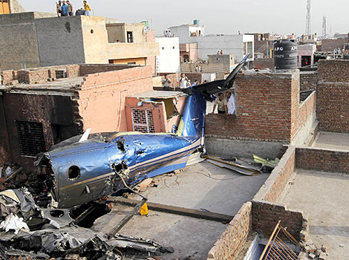
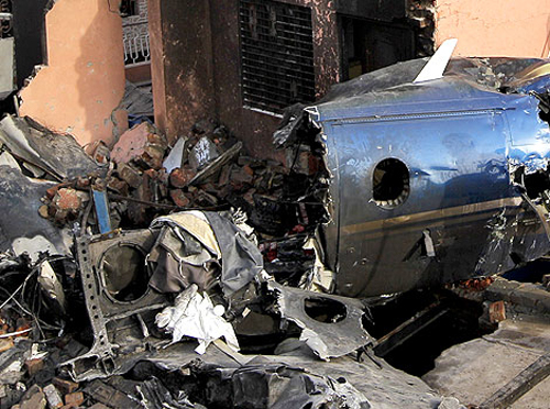
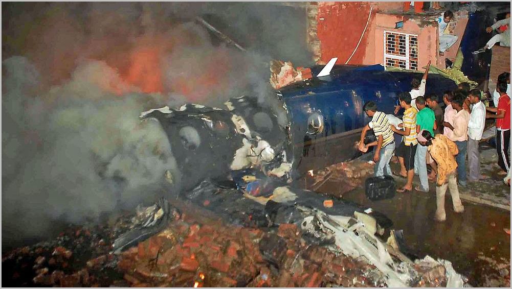
Crash of a Pilatus PC-12/45 in Faridabad: 10 killed

Date & Time: May 25, 2011 at 2243 LT
Type of aircraft:
Operator:
Registration:
VT-ACF
Flight Phase:
Flight Type:
Survivors:
No
Site:
Schedule:
Patna - New Delhi
MSN:
632
YOM:
2005
Country:
Region:
Crew on board:
2
Crew fatalities:
Pax on board:
5
Pax fatalities:
Other fatalities:
Total fatalities:
10
Captain / Total flying hours:
1521
Captain / Total hours on type:
1300.00
Copilot / Total flying hours:
300
Copilot / Total hours on type:
70
Aircraft flight hours:
1483
Circumstances:
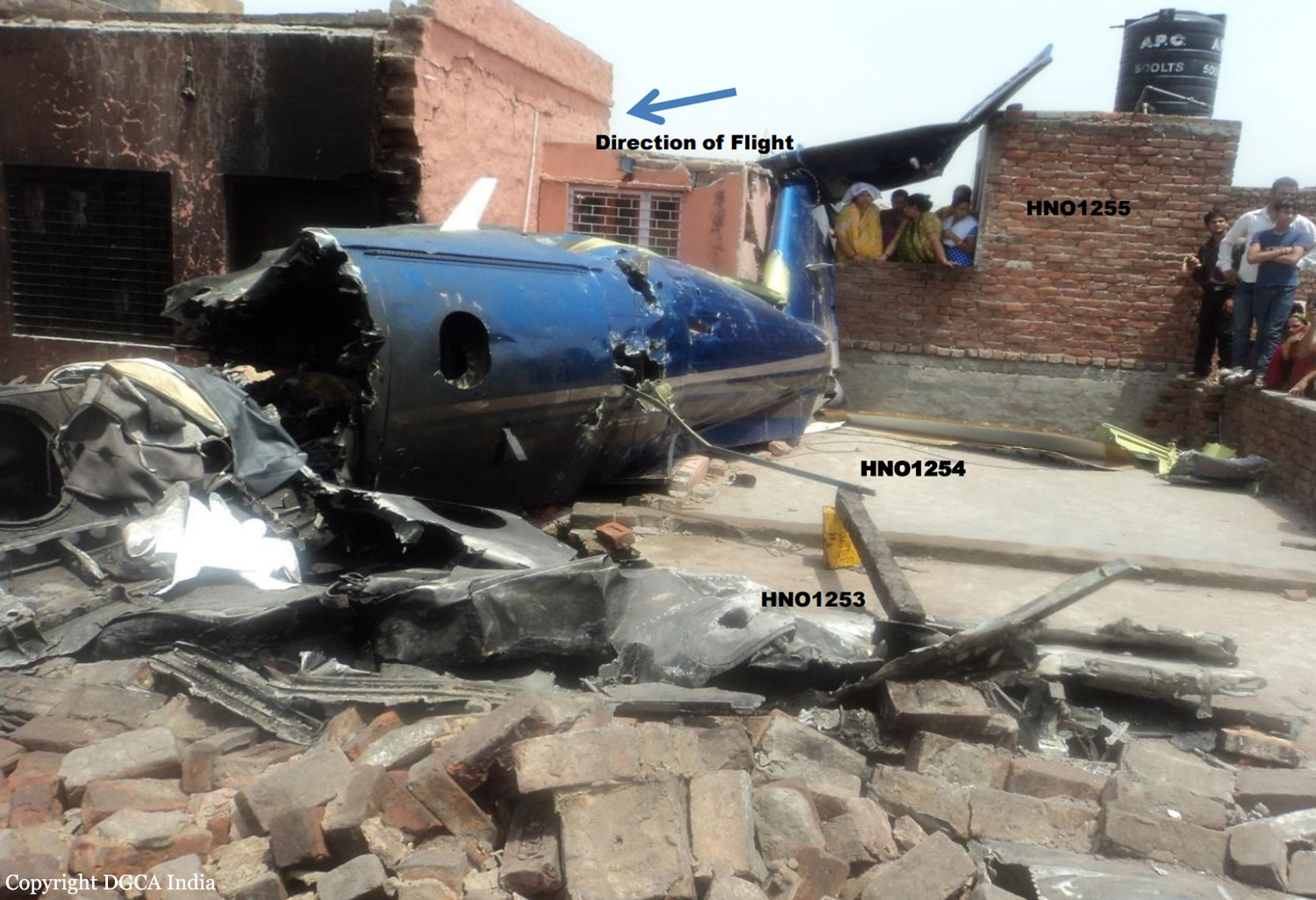
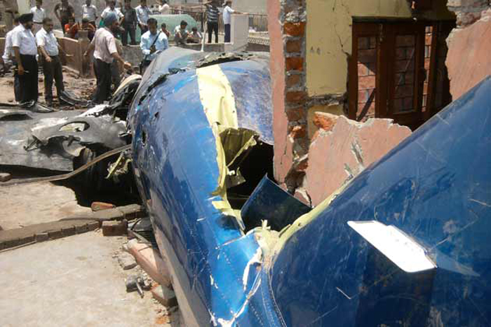
M/s Air Charter Services Pvt Ltd. offered their aircraft VT-ACF for operating medical evacuation flight to pick one critically ill patient from Patna on 25/05/2011. The Aircraft took off from Delhi to Patna with two crew members, two doctors and one male nurse. The Flight to Patna was uneventful. The Air Ambulance along with patient and one attendant took off from Patna at 20:31:58 IST, the aircraft during arrival to land at Delhi crashed near Faridabad on a Radial of 145 degree and distance of 15.2 nm at 22:42:32 IST. Aircraft reached Patna at 18:31 IST. Flight Plan for the flight from Patna to Delhi was filed with the ATC at Patna via W45-LLK-R594 at FL260, planned ETD being 22:00 hours IST and EET of 2hours for a planned ETA at VIDP being 24:00 hours IST. The crew took self-briefing of the weather and same “Self Briefing” was recorded on the flight plan submitted at ATC Patna. The passenger manifest submitted at Patna indicated a total of 2 crew and 5 passengers inclusive of the patient. Weather at Patna at the time of departure was 3000m visibility with Haze. Total fuel on board for departure at Delhi was 1516 lts. The preflight/transit inspection of the aircraft at Patna was carried out by the crew as per laid down guidelines. The crew requested for startup at 20:21 IST from Patna ATC and reported airborne at 20:33:43 IST. The aircraft climbed and maintained FL 260 for cruise. On handover from Varanasi Area Control (Radar), the aircraft came in contact with Delhi Area Control (East) Radar at 21:53:40 IST at 120.9 MHz. At 21:53:40 IST aircraft was identified on Radar by squawking code 3313. At 22:02:05 IST the crew requested for left deviation of 10° due to weather, the same was approved by the RSR controller. At 22:05:04 IST the crew informed that they have a critical patient on board and requested for priority landing and ambulance on arrival. The same was approved by the RSR controller. The aircraft was handed over to Approach Control on 126.35 MHz at 22:28:03 IST. At 22:28:18 IST VT-ACF contacted TAR (Terminal Approach Radar) on 126.35 MHz and it was maintaining FL160. At 22:32:22 IST, VT-ACF was asked to continue heading to DPN (VOR) and was cleared to descend to FL110. At 22:36:34 IST, the TAR controller informed VT-ACF about weather on HDG 330°, the crew replied in “Affirmative” and requested for left heading. At 22:38:12 IST, TAR controller gave aircraft left heading 285° which was copied by the aircraft. The aircraft started turning left, passing heading 289, it climbed from FL125 to FL141. At 22:40:32 IST the TAR controller gave 3 calls to VT-ACF. At 22:40:43 IST aircraft transmitted a feeble call “Into bad weather”, at that instance the aircraft had climbed FL 146.Thereafter the aircraft was seen turning right in a very tight turn at a low radar ground speed and loosing height rapidly from FL146 to FL 016. Again at 22:41:32 IST TAR controller gave call to VT-ACF, aircraft transmitted a feeble call “Into bad weather. Thereafter the controller gave repeated calls on both 126.35 MHz and also 121.5 MHz, before the blip on radar became static on a radial of 145 degree at 15.2 nm from DPN VOR at 22:42:32 IST. All attempts to raise contact with the aircraft failed. The TAR controller then informed the duty WSO and also the ATC Tower. At 22:50:00 IST, the tower informed the WSO that they have got a call from the City Fire Brigade confirming that an aircraft has crashed near Faridabad in a congested residential area known as Parvatia Colony. After the accident, local residents of the area and police tried to put off the fire and extricate the bodies from the wreckage of the aircraft.
Probable cause:
The probable cause of the accident could be attributed to departure of the aircraft from controlled flight due to an external weather related phenomenon, mishandling of controls, spatial disorientation or a combination of the three.
Final Report:
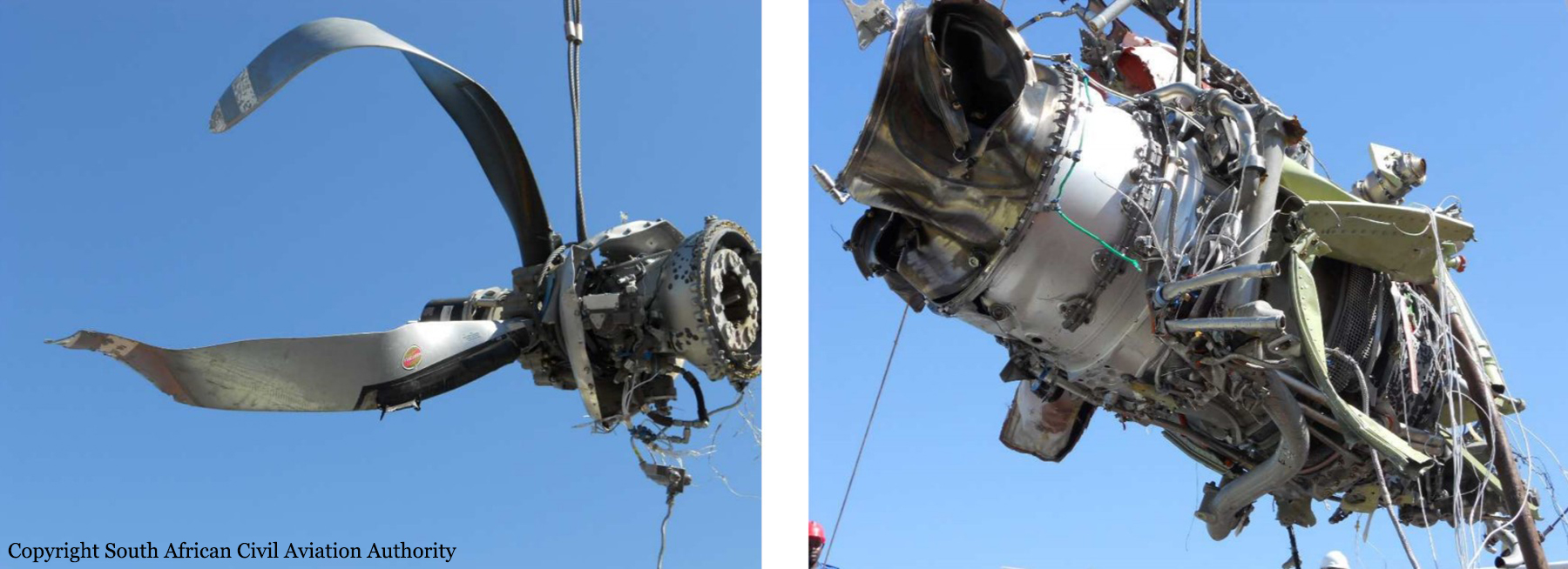
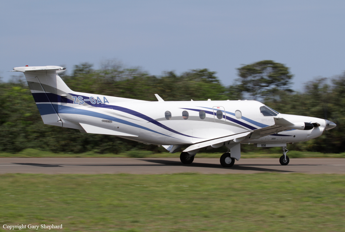
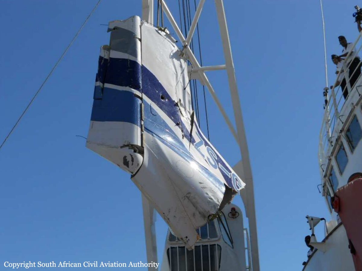
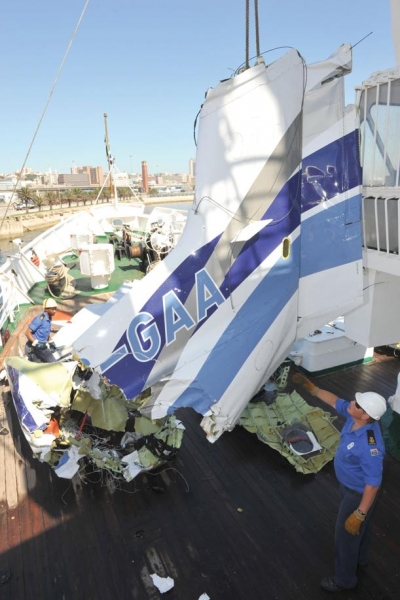
Crash of a Pilatus PC-12/47 off Plettenberg Bay: 9 killed

Date & Time: Feb 8, 2011 at 1633 LT
Type of aircraft:
Registration:
ZS-GAA
Survivors:
No
Schedule:
Queenstown - Plettenberg Bay
MSN:
858
YOM:
2007
Country:
Region:
Crew on board:
2
Crew fatalities:
Pax on board:
7
Pax fatalities:
Other fatalities:
Total fatalities:
9
Captain / Total flying hours:
2662
Captain / Total hours on type:
582.00
Copilot / Total flying hours:
351
Copilot / Total hours on type:
112
Aircraft flight hours:
1096
Circumstances:
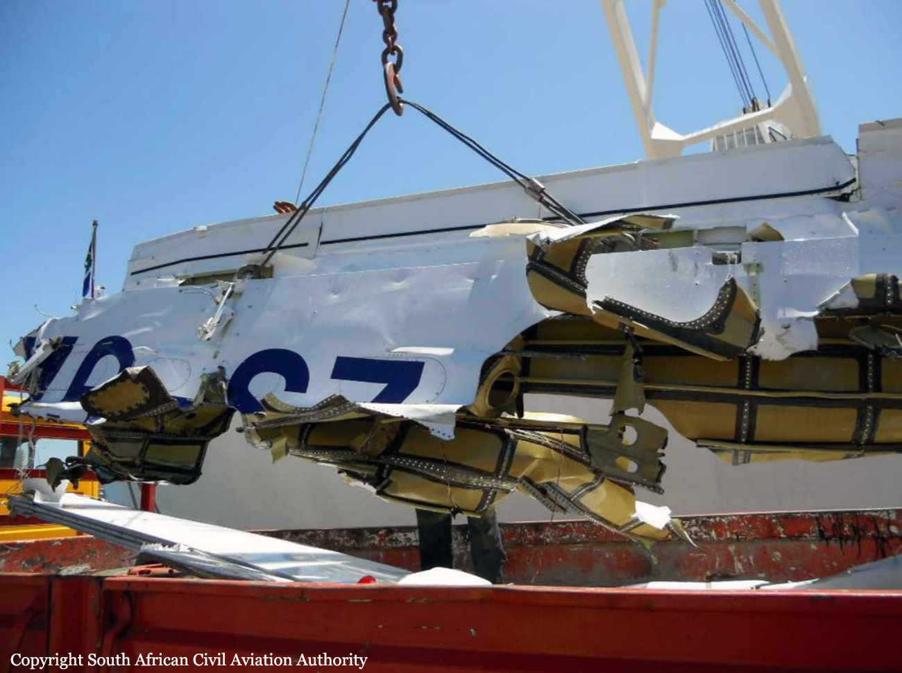
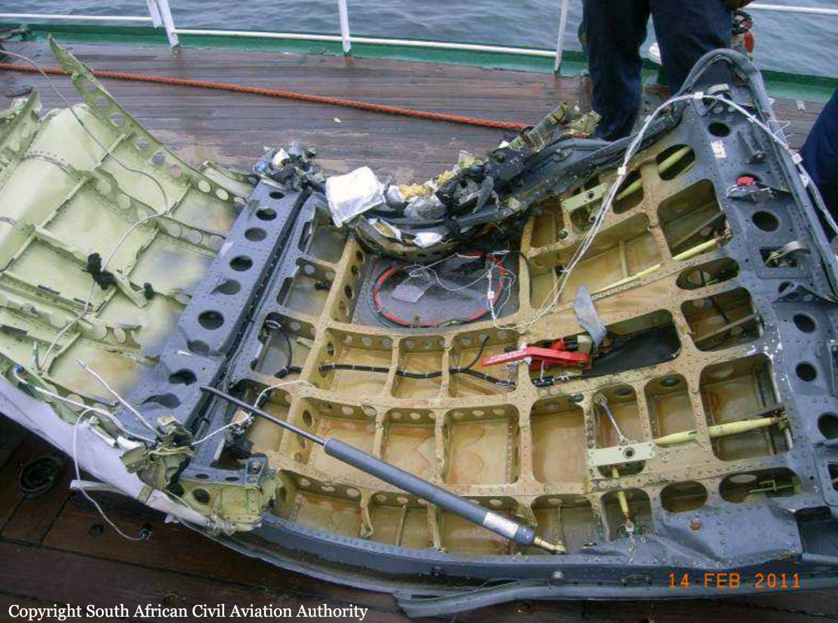
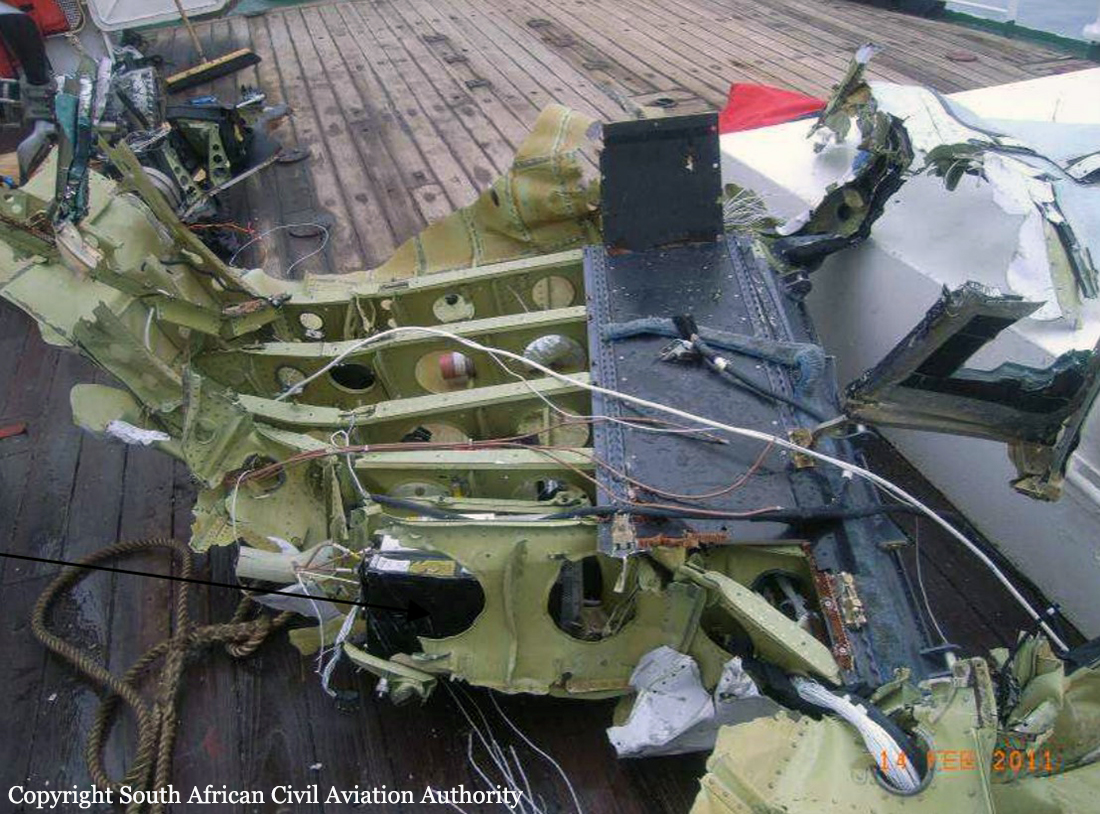
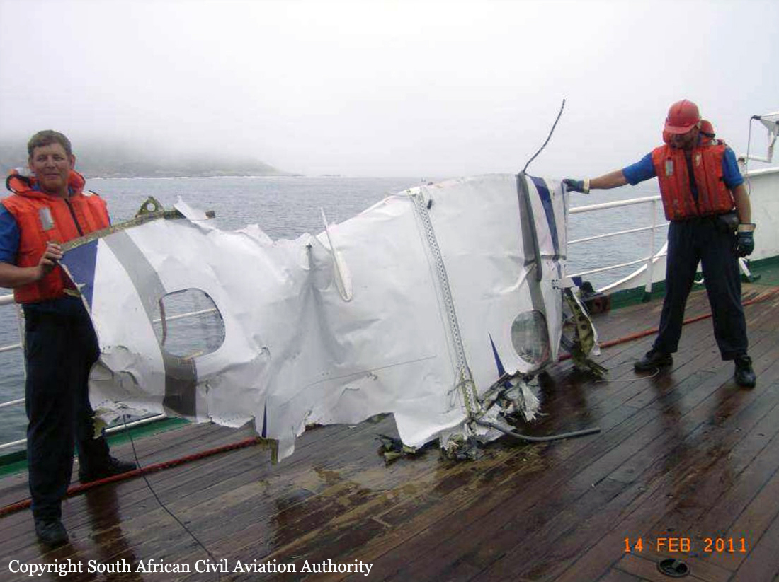
The aircraft, which was operated under the provisions of Part 91 of the Civil Aviation Regulations (CARs), departed from Queenstown Aerodrome (FAQT) at 1329Z on an instrument flight plan for Plettenberg Bay Aerodrome (FAPG). On board the aircraft were two (2) crew members and seven (7) passengers. The estimated time of arrival for the aircraft to land at FAPG was 1430Z, however the aircraft never arrived at its intended destination, nor did the crew cancel their search and rescue as per flight plan/air navigation requirements. At ±1600Z an official search for the missing aircraft commenced. The search was coordinated by the Aeronautical Rescue Co-ordination Centre (ARCC). The first phase of the search, which was land based, was conducted in the Robberg Nature Reserve area. Progress was slow due to poor visibility associated with dense mist and night time. A sea search was not possible following activation of the official search during the late afternoon and night time, but vessels from the National Sea Rescue Institute (NSRI) were able to launch at first light the next morning. Floating debris (light weight material) was picked up from the sea and along the western shoreline of the Robberg Nature Reserve where foot patrols were conducted. On 11 February 2011 the South African Navy joined the search for the missing wreckage by utilizing side scan sonar equipment to scan the sea bed for the wreckage. All the occupants on board the aircraft were fatally injured in the accident.
Probable cause:
The aircraft crashed into the sea following a possible in flight upset associated with a loss of control during IMC conditions.
The following contributory factors were identified:
- Deviation from standard operating procedures by the crew not flying the published cloud-break procedure for runway 30 at FAPG, but instead opted to attempt to remain visual with the ground/sea (comply with VMC requirements) by descending over the sea and approaching the aerodrome from the southeast (Robberg Nature Reserve side).
- Inclement weather conditions prevailed in the area, which was below the minima to comply with the approved cloud-break procedure for runway 30 at FAPG (minimum safety altitude of 844 feet according to cloud-break procedure) as published at the time of the accident.
- Judgement and decision making lacking by the crew. (The crew continued from the seaward side with the approach during IMC conditions and not diverting to an alternative aerodrome with proper approach facilities timeously although a cell phone call in this regard indicate such an intention).
- The possibility that the pilot-flying at the time became spatially disorientated during the right turn while encountering / entering IMC conditions in an attempt to divert to FAGG should be regarded as a significant contributory factor to this accident.
- This was the first time as far as it could be determined that the two crew members flew together.
Final Report: