Crash of a De Havilland DHC-6 Twin Otter near Ghorepani: 18 killed
Date & Time:
Aug 21, 1998 at 1124 LT
Registration:
9N-ACC
Survivors:
No
Schedule:
Jomsom - Pokhara
MSN:
710
YOM:
1980
Crew on board:
3
Crew fatalities:
Pax on board:
15
Pax fatalities:
Other fatalities:
Total fatalities:
18
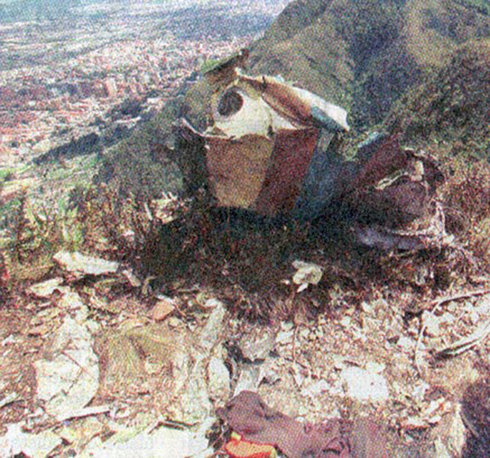
Circumstances:
The twin engine aircraft departed Jomsom Airport at 1110LT on a 20-minutes flight to Pokhara, carrying 15 passengers and three crew members. While cruising at an altitude of 10,500 feet in good weather conditions, the aircraft struck the slope of a mountain. The wreckage was found two days later and all 18 occupants were killed.