Crash of a Cessna 208B Grand Caravan on Mt Silva: 16 killed
Date & Time:
Jul 20, 1999 at 0945 LT
Operator:

Registration:
YN-CED
Survivors:
No
Schedule:
Managua – Bluefields
MSN:
208B-0341
YOM:
1993
Flight number:
NIS046
Crew on board:
2
Crew fatalities:
Pax on board:
14
Pax fatalities:
Other fatalities:
Total fatalities:
16
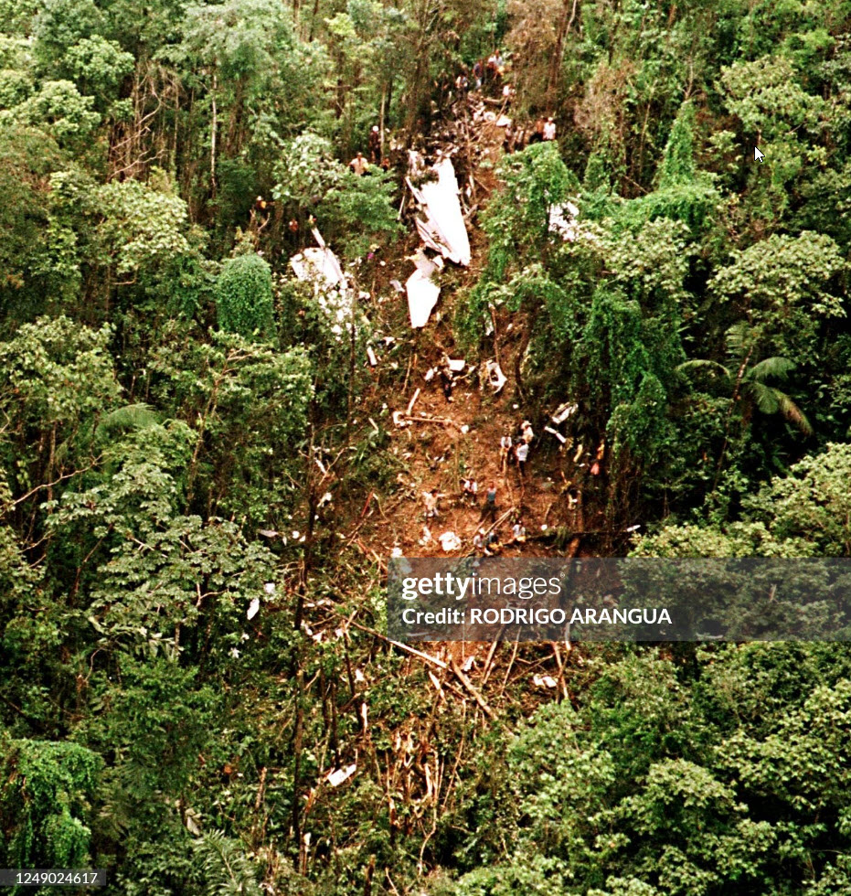
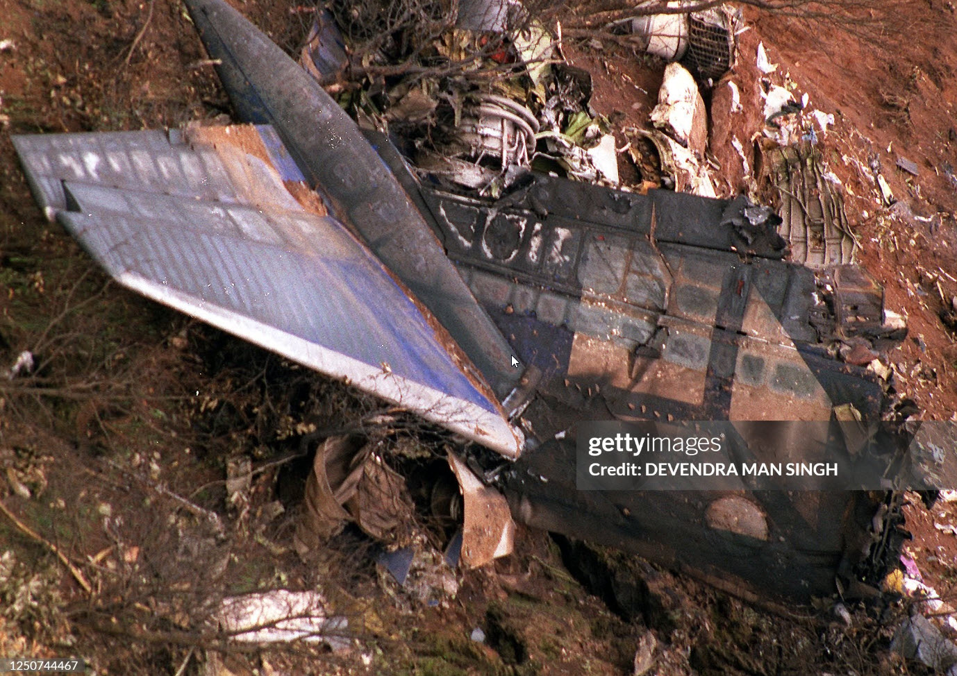
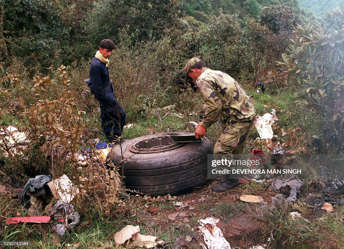
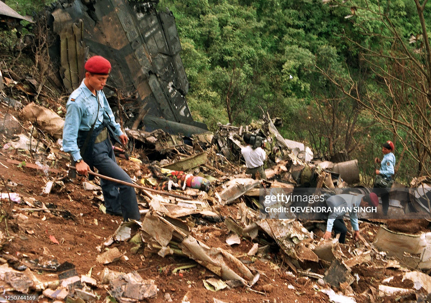
Circumstances:
The single engine aircraft departed Managua-Augusto C. Sandino Airport in the morning on a flight to Bluefields, carrying two pilots and 14 passengers, most of them members of a development aid organization. While approaching the destination, the crew initiated a VFR descent to Bluefields in marginal weather conditions. At an altitude of 2,000 feet, the aircraft struck the slope of Mt Silva located in the Zelaya Central Mountain Range. The wreckage was found about 50 km west of Bluefields and all 16 occupants were killed, among them a Swiss citizen.
Probable cause:
Controlled flight into terrain after the crew initiated the descent under VFR mode in IMC conditions. The following contributing factors were identified:
- Poor weather conditions with low clouds,
- The crew started the descent prematurely, causing the aircraft to descent at 2,000 feet while the minimum safe altitude was 2,700 feet over the area of the accident.
- Poor weather conditions with low clouds,
- The crew started the descent prematurely, causing the aircraft to descent at 2,000 feet while the minimum safe altitude was 2,700 feet over the area of the accident.