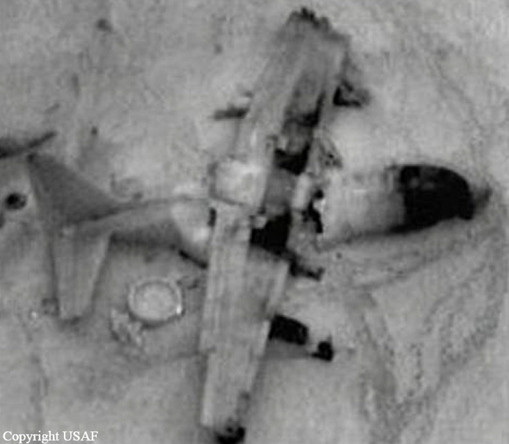
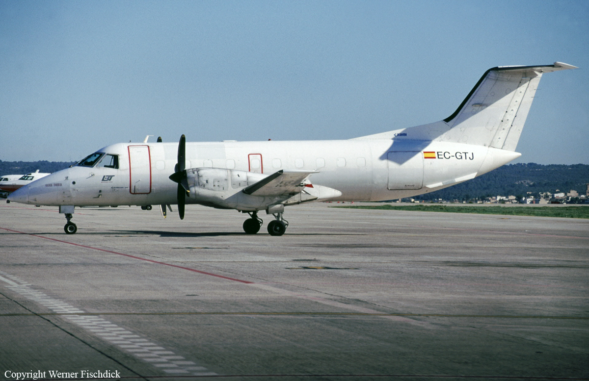
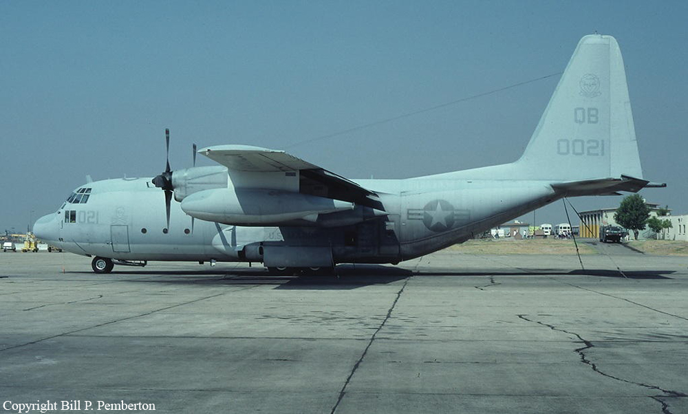
Crash of a Lockheed MC-130P Hercules in the Hindu Kush Mountain Range
Date & Time:
Feb 13, 2002 at 0230 LT
Operator:

Registration:
66-0213
Survivors:
Yes
MSN:
4163
YOM:
1966
Crew on board:
8
Crew fatalities:
Pax on board:
0
Pax fatalities:
Other fatalities:
Total fatalities:
0
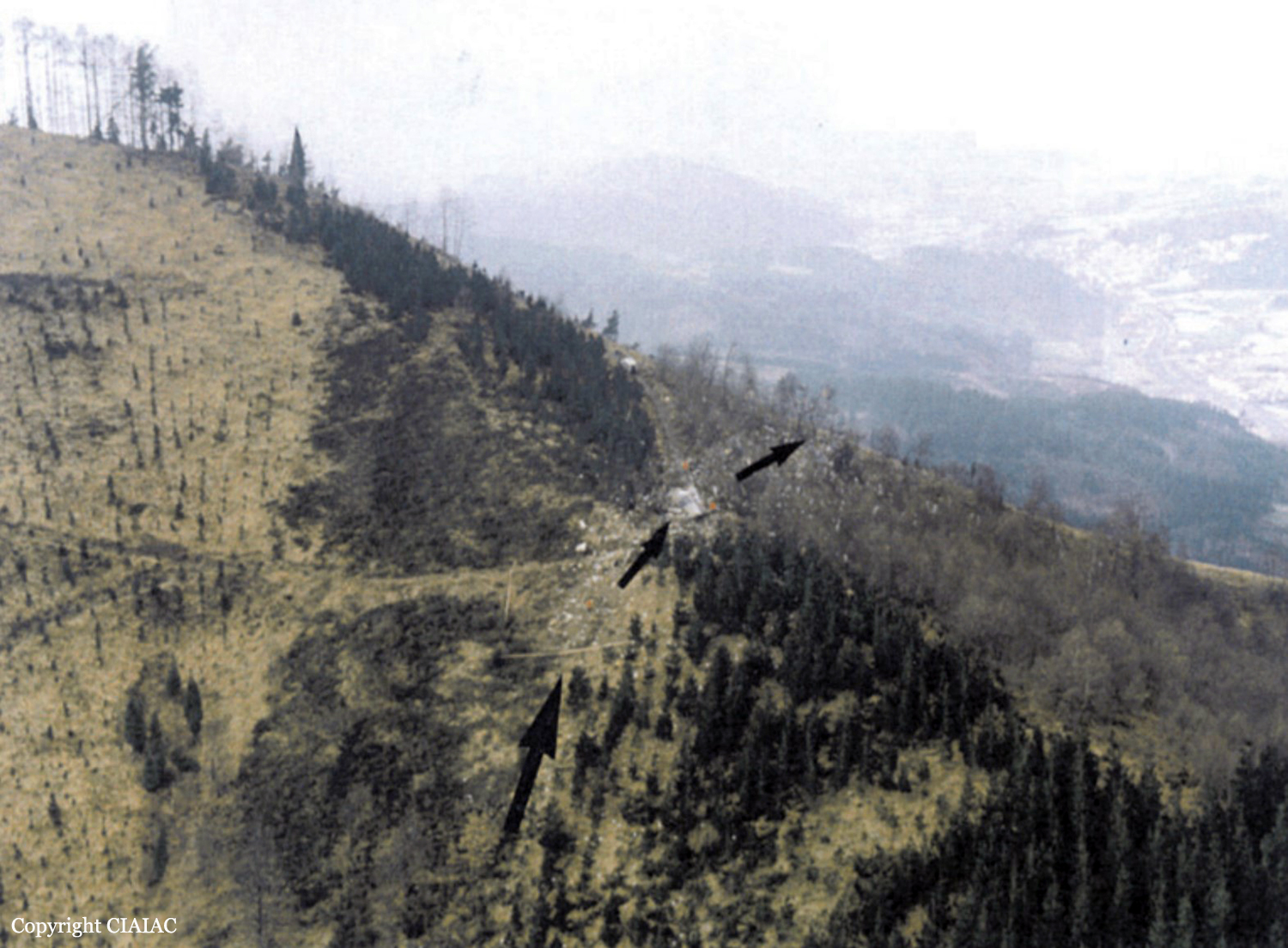
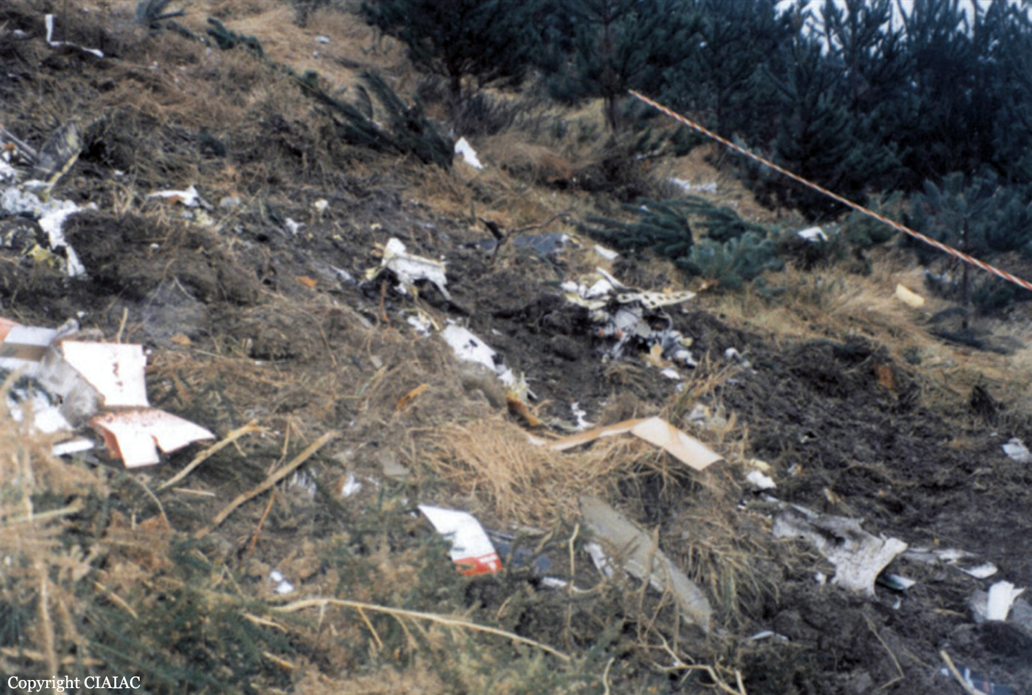
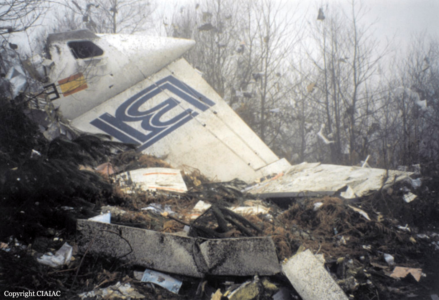
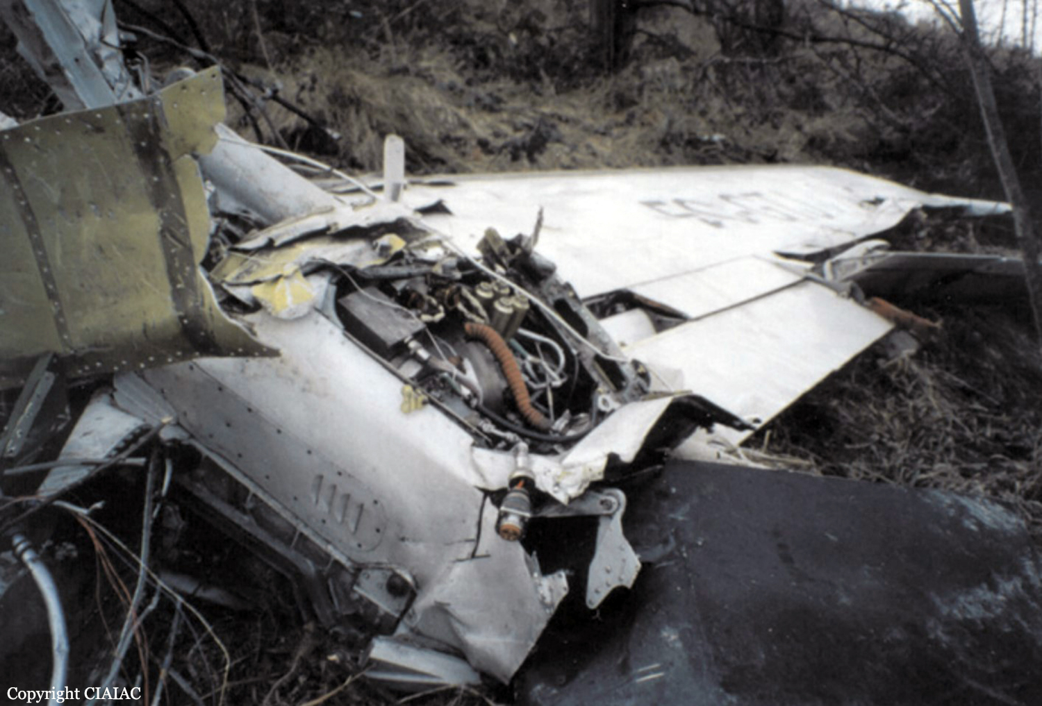
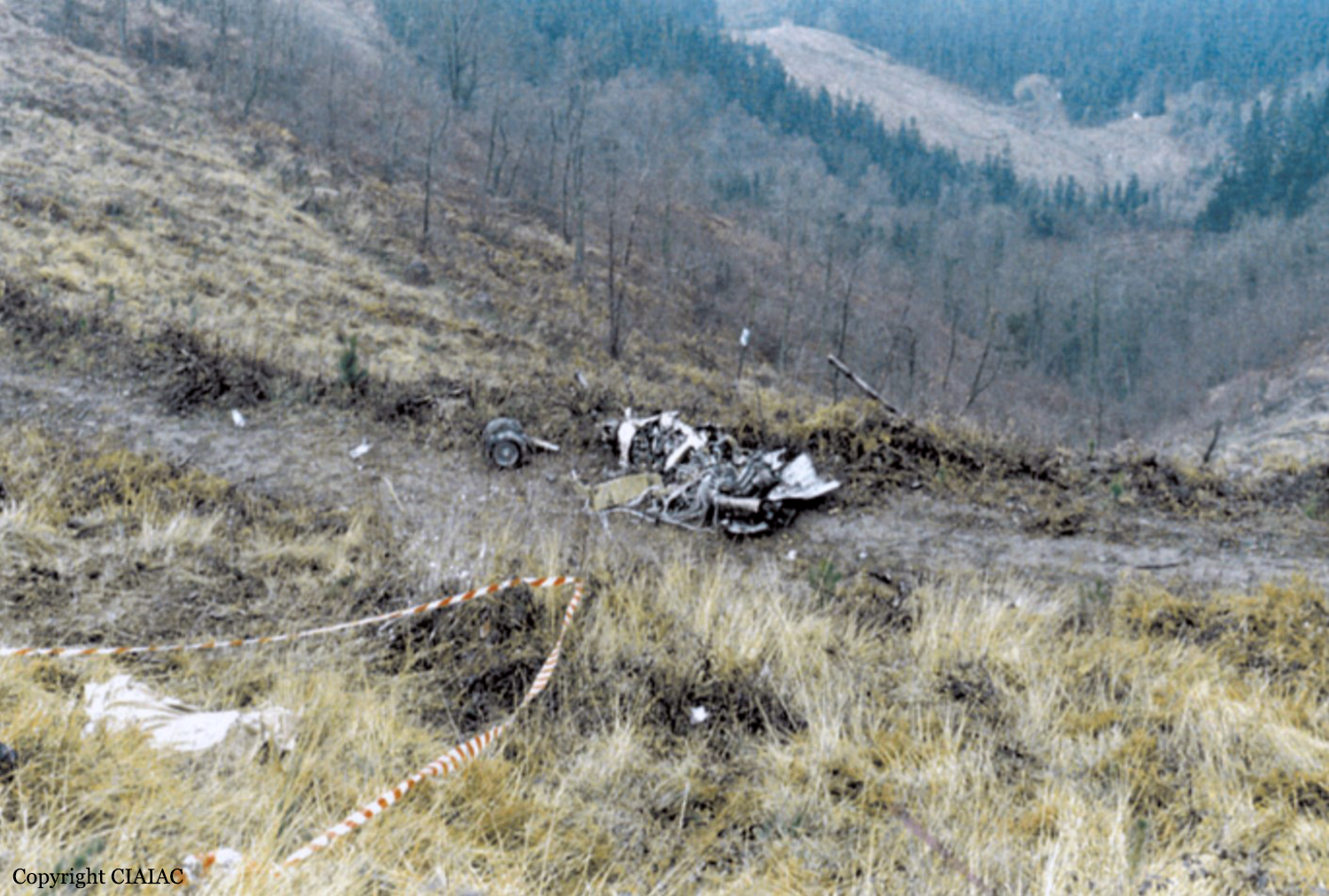
Circumstances:
On a mission for Special Forces, the four engine aircraft crashed in unknown circumstances in a snow covered area of the Hindu Kush Mountain Range, Afghanistan. All eight occupants were rescued while the aircraft was destroyed. USAF confirmed that the accident was not caused by hostile action.