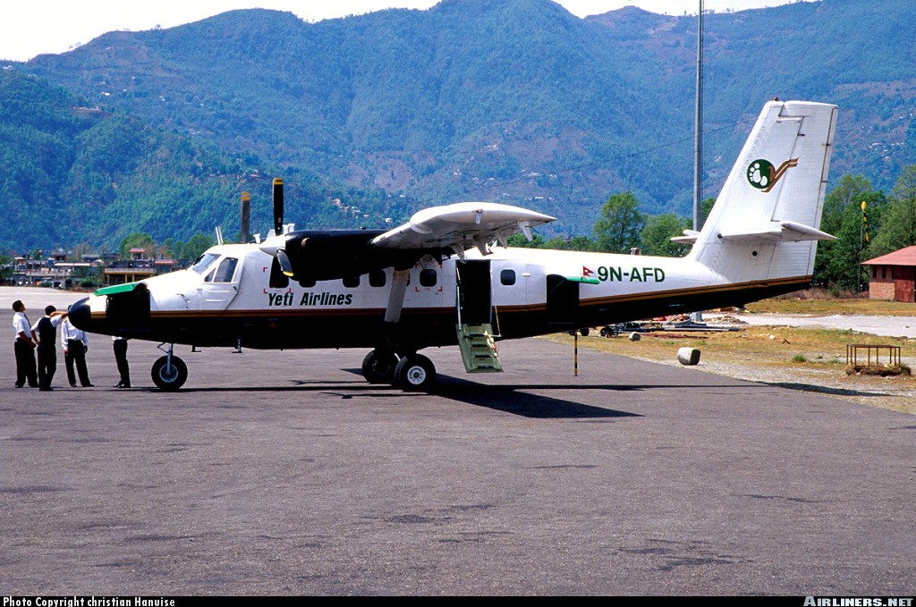
Crash of a De Havilland DHC-6 Twin Otter 300 near Ononge: 2 killed
Date & Time:
Jul 29, 2004 at 1030 LT
Operator:

Registration:
P2-MBA
Survivors:
Yes
Schedule:
Port Moresby - Ononge
MSN:
353
YOM:
1973
Crew on board:
2
Crew fatalities:
Pax on board:
1
Pax fatalities:
Other fatalities:
Total fatalities:
2
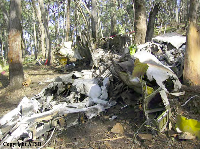
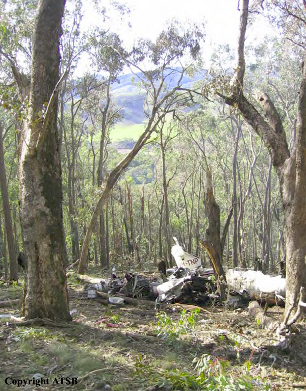
Circumstances:
While descending to Ononge, the crew encountered poor weather conditions and decided to divert to the Yongai Airfield located about 27 km northeast of Ononge. Few minutes later, while cruising at an altitude of 2,286 metres in clouds, the twin engine aircraft struck the slope of a mountain. Rescuers arrived on scene a day later. The loadmaster was seriously injured while both pilots were killed.
Probable cause:
Controlled flight into terrain.