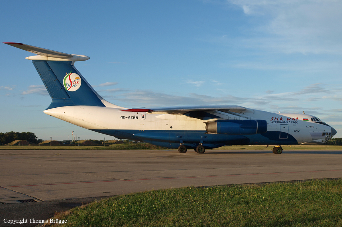
Crash of an Ilyushin II-76TD near Bagram AFB: 9 killed
Date & Time:
Jul 6, 2011 at 0010 LT
Operator:

Registration:
4K-AZ55
Survivors:
No
Schedule:
Baku - Bagram AFB
MSN:
20534 20680
YOM:
2005
Crew on board:
9
Crew fatalities:
Pax on board:
0
Pax fatalities:
Other fatalities:
Total fatalities:
9
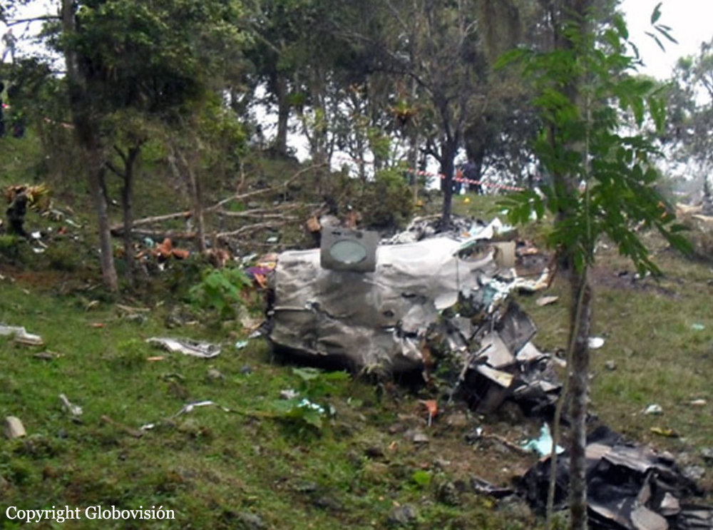
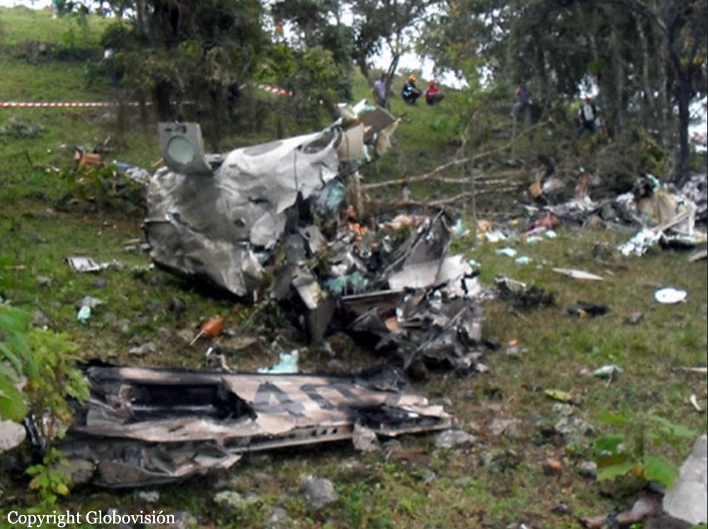
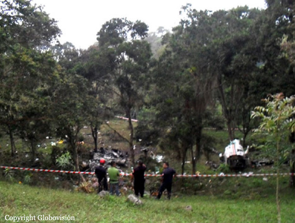
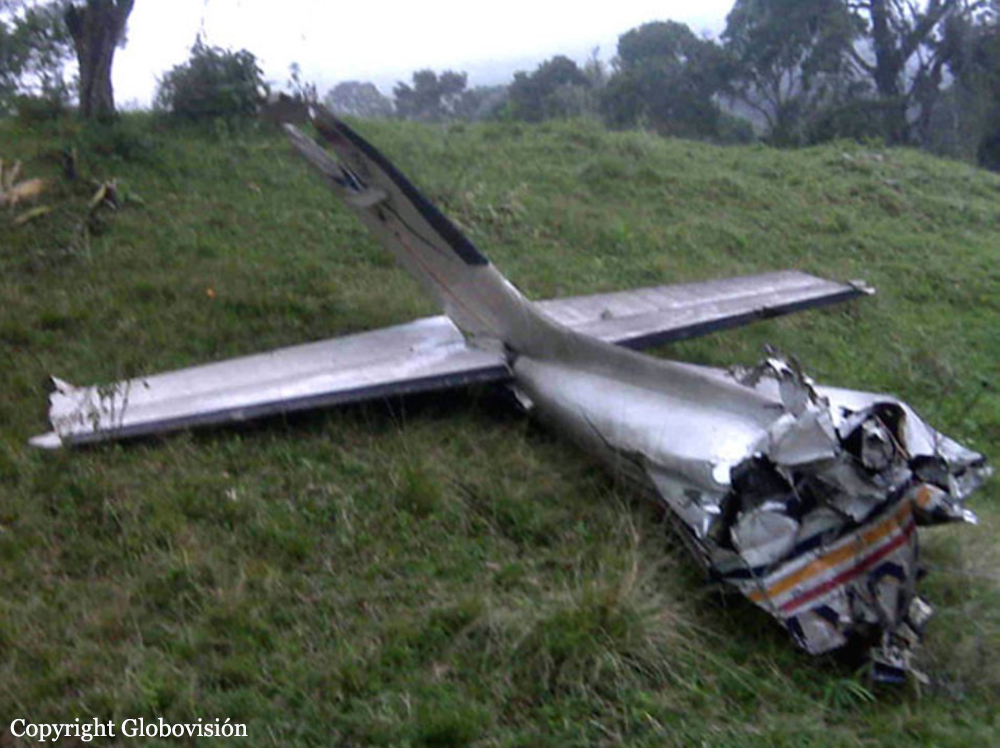
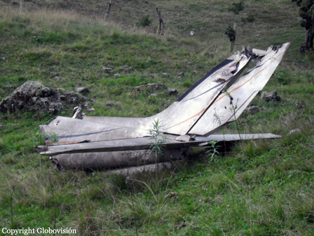
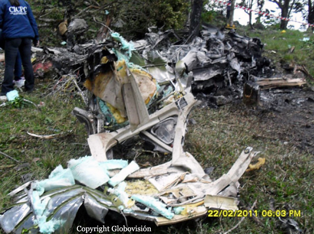
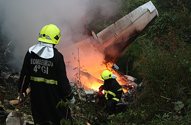
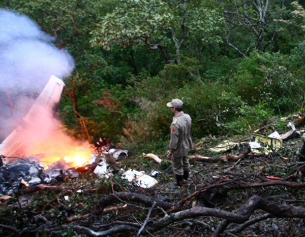
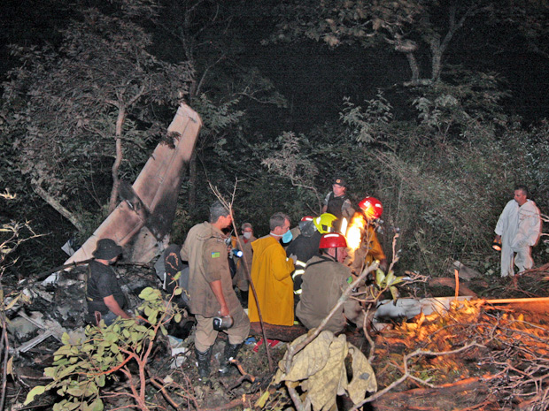
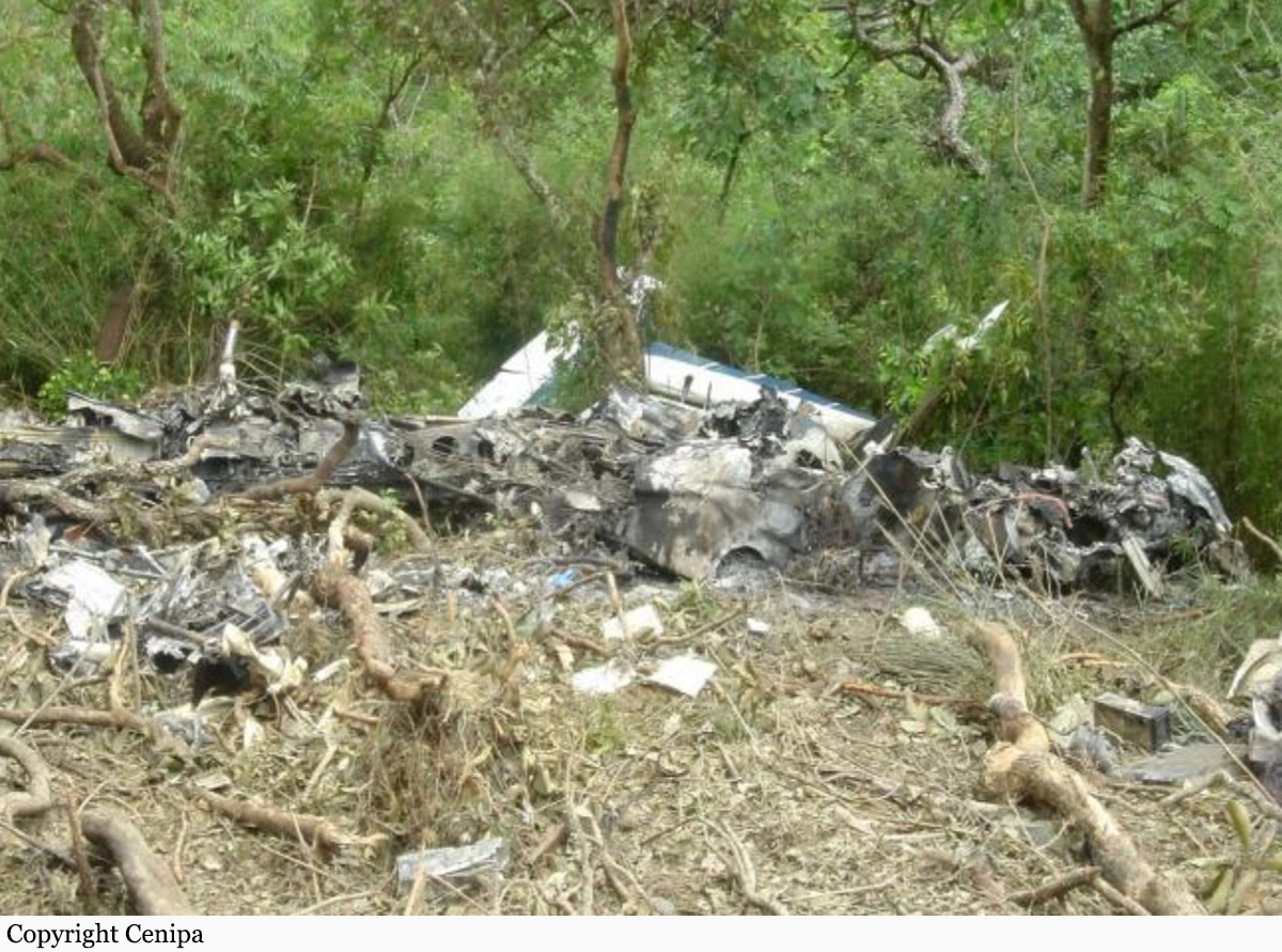
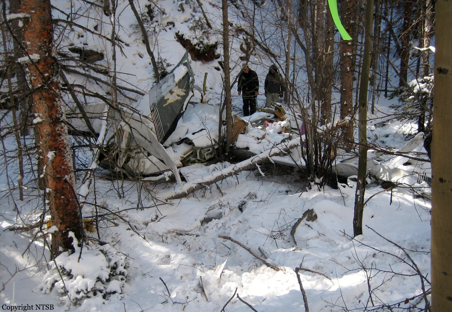
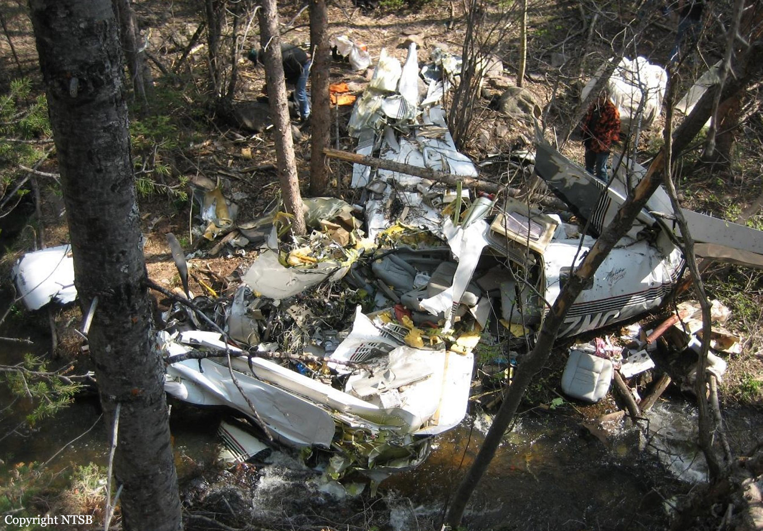
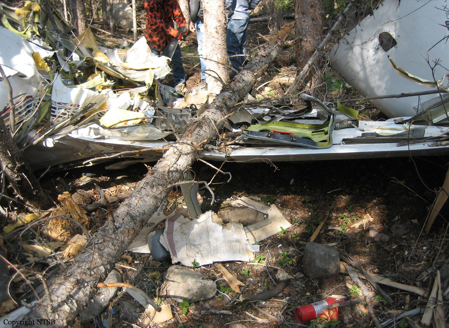
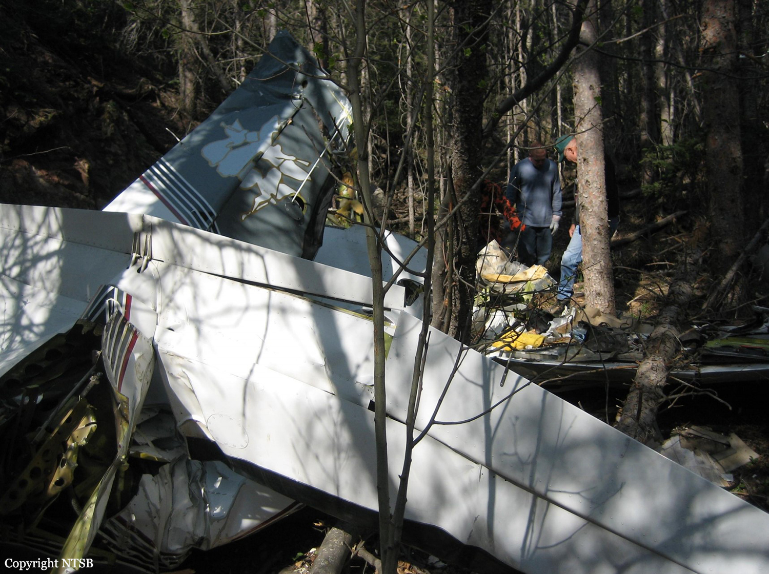
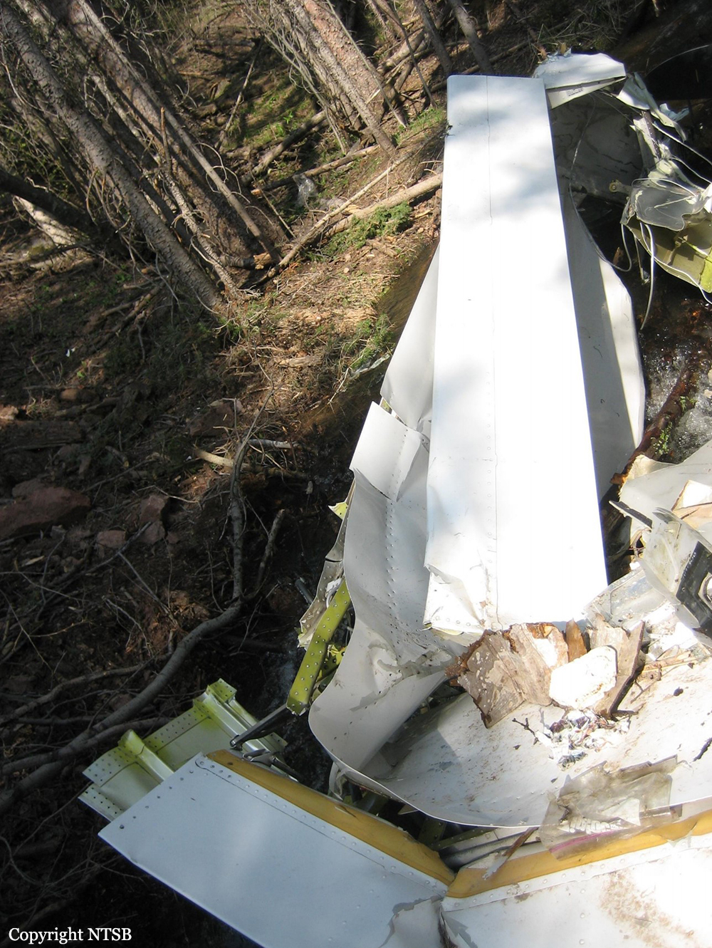
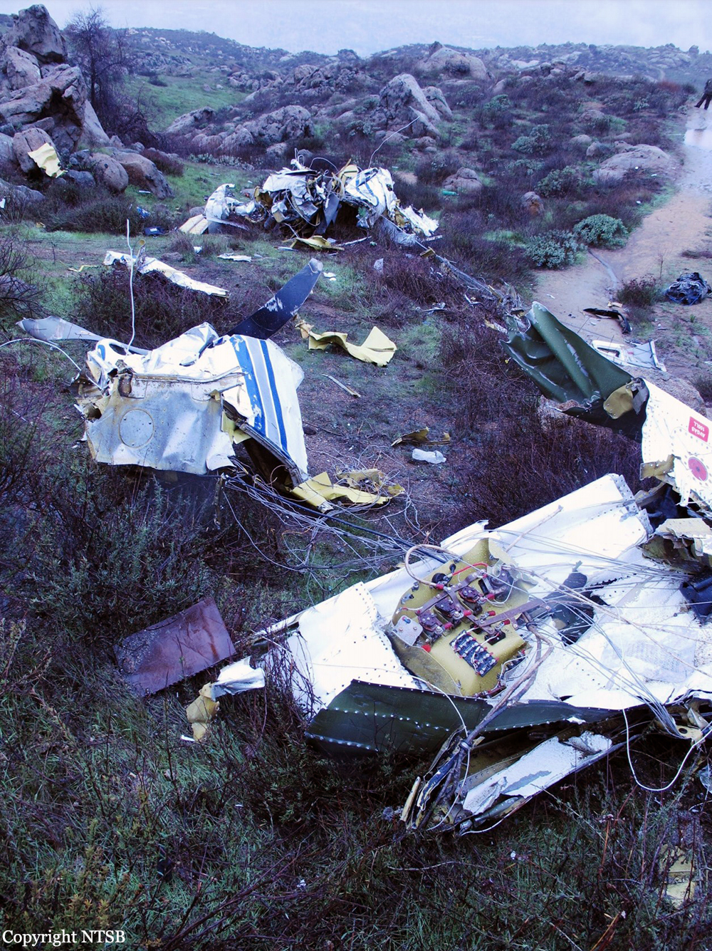
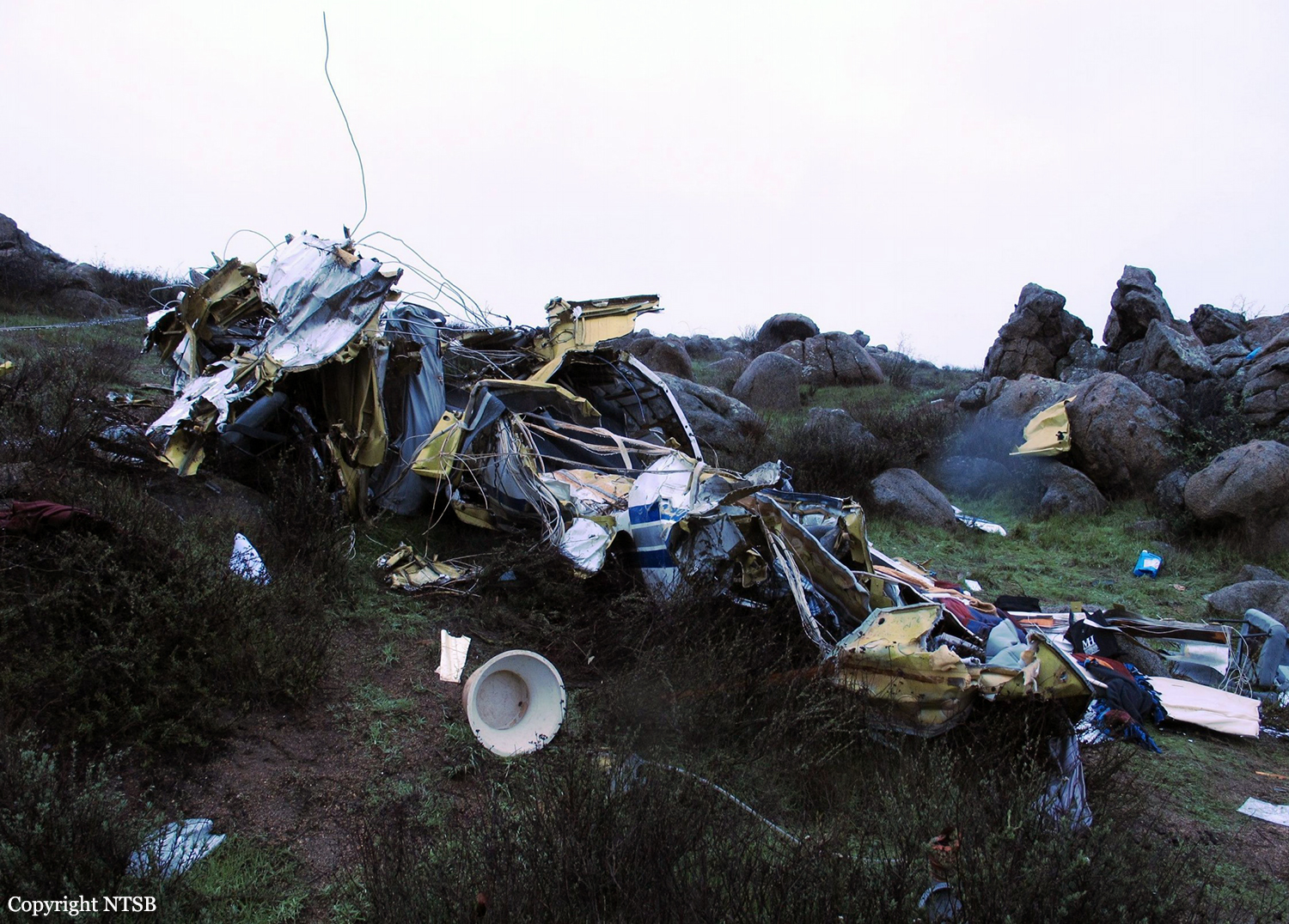
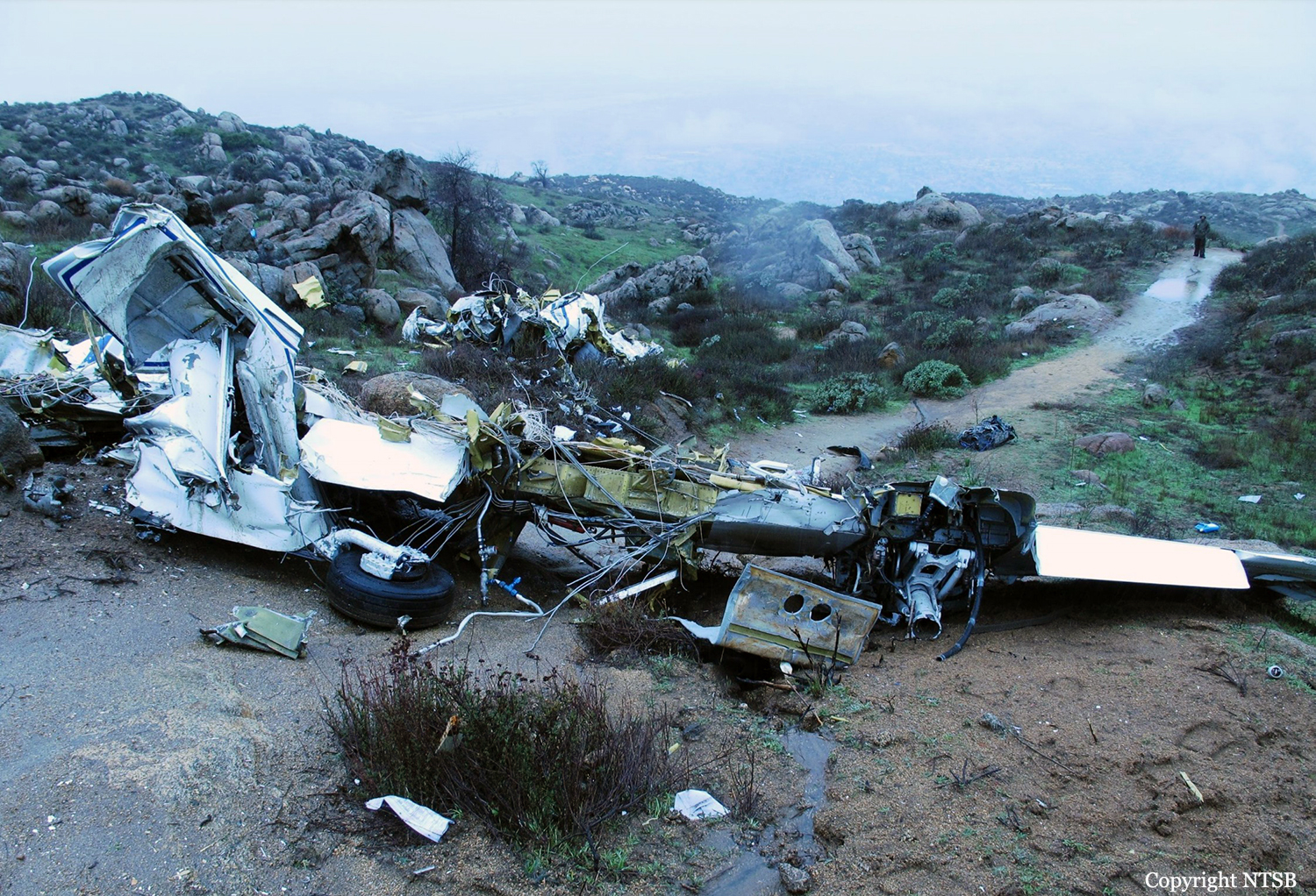
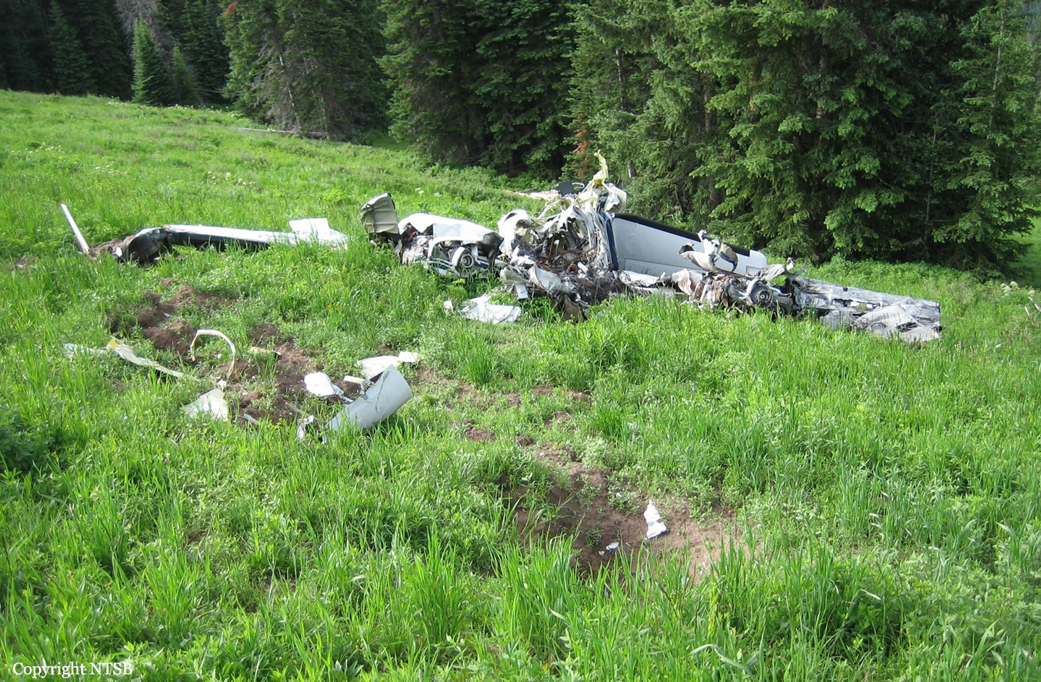
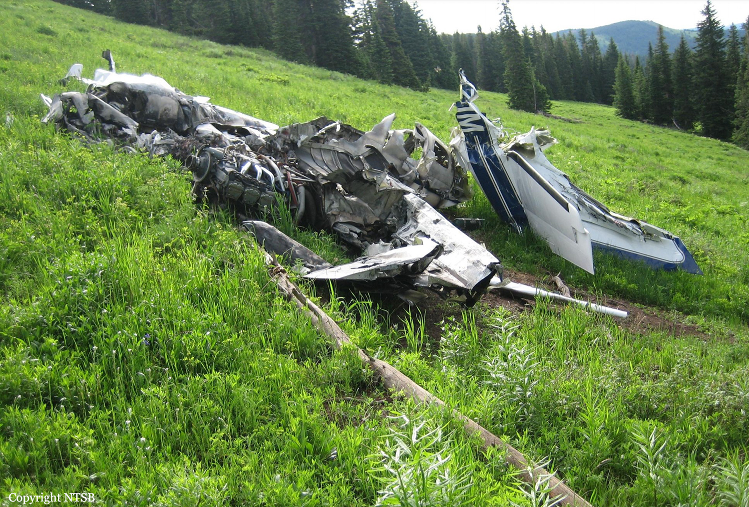
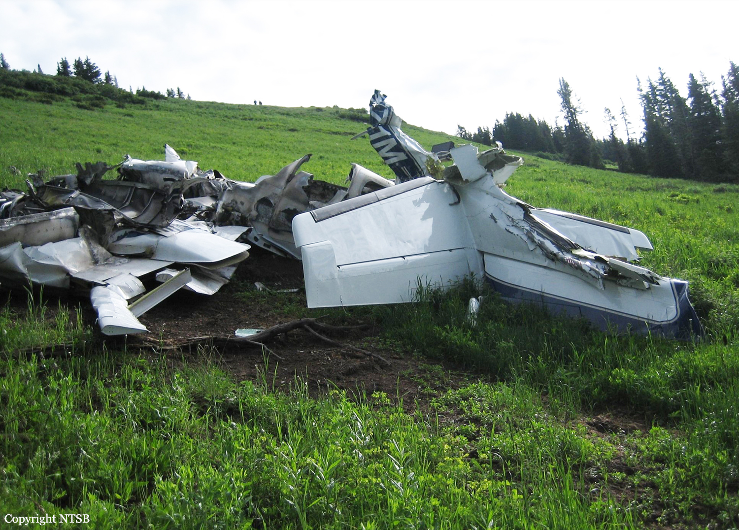
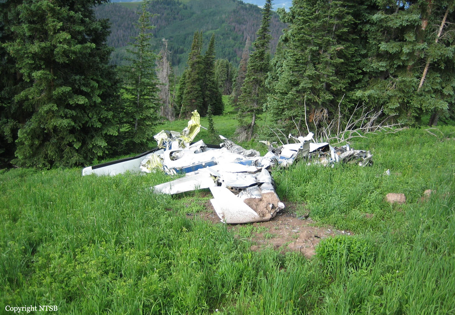
Circumstances:
The four engine aircraft departed Baku-Bina Airport at 2126LT on a cargo flight to Bagram AFB, carrying 9 crew members and a load of 18 tons of various goods destined to the NATO forces deployed in Afghanistan. While approaching Bagram AFB by night, at an altitude of 12,500 feet, the aircraft impacted the slope of a mountain located 25 km from the airport. The wreckage was found at the first light of day. The aircraft was destroyed and all 9 occupants were killed.