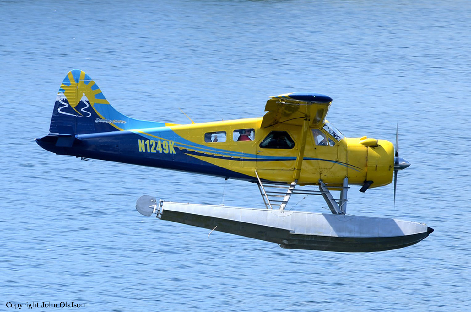
Crash of a De Havilland DHC-2 Beaver near Ketchikan: 6 killed

Date & Time: Aug 5, 2021 at 1050 LT
Type of aircraft:
Operator:
Registration:
N1249K
Flight Phase:
Survivors:
No
Site:
Schedule:
Ketchikan - Ketchikan
MSN:
1594
YOM:
1965
Crew on board:
1
Crew fatalities:
Pax on board:
5
Pax fatalities:
Other fatalities:
Total fatalities:
6
Captain / Total flying hours:
15552
Captain / Total hours on type:
8000.00
Aircraft flight hours:
15028
Circumstances:
The accident flight was the pilot’s second passenger sightseeing flight of the day that overflew remote inland fjords, coastal waterways, and mountainous, tree-covered terrain in the Misty Fjords National Monument. Limited information was available about the airplane’s flight track due to radar limitations, and the flight tracking information from the airplane only provided data in 1-minute intervals. The data indicated that the airplane was on the return leg of the flight and in the final minutes of flight, the pilot was flying on the right side of a valley. The airplane impacted mountainous terrain at 1,750 ft mean sea level (msl), about 250 ft below the summit. Examination of the wreckage revealed no evidence of pre accident failures or malfunctions that would have precluded normal operation. Damage to the propeller indicated that it was rotating and under power at the time of the accident. The orientation and distribution of the wreckage indicated that the airplane impacted a tree in a left-wing-low attitude, likely as the pilot was attempting to maneuver away from terrain. Review of weather information for the day of the accident revealed a conditionally unstable environment below 6,000 ft msl, which led to rain organizing in bands of shower activity. Satellite imagery depicted that one of these bands was moving northeastward across the accident site at the accident time. Federal Aviation Administration (FAA) weather cameras and local weather observations also indicated that lower visibility and mountain obscuration conditions were progressing northward across the accident area with time. Based on photographs recovered from passenger cell phones along with FAA weather camera imagery, the accident flight encountered mountain obscuration conditions, rain shower activity, and reduced visibilities and cloud ceilings, resulting in instrument meteorological conditions (IMC) before the impact with terrain. The pilot reviewed weather conditions before the first flight of the day; however, there was no indication that he obtained updated weather conditions or additional weather information before departing on the accident flight. Based on interviews, the accident pilot landed following the first flight of the day in lowering visibility, ceiling, and precipitation, and departed on the accident flight in precipitation, based on passenger photos. Therefore, the pilot had knowledge of the weather conditions that he could have encountered along the route of flight before departure. The operator had adequate policies and procedures in place for pilots regarding inadvertent encounters with IMC; however, the pilot’s training records indicated that he was signed off for cue-based training that did not occur. Cue-based training is intended to help calibrate pilots’ weather assessment and foster an ability to accurately assess and respond appropriately to cues associated with deteriorating weather. Had the pilot completed the training, it might have helped improve his decision-making skills to either cancel the flight before departure or turn around earlier in the flight. The operator’s lack of safety management protocols resulted in the pilot not receiving the required cue-based training, allowed him to continue operating air tours with minimal remedial training following a previous accident, and allowed the accident airplane to operate without a valid FAA registration. The operator was signatory to a voluntary local air tour operator’s group letter of agreement that was developed to improve the overall safety of flight operations in the area of the Misty Fjords National Monument. Participation was voluntary and not regulated by the FAA, and the investigation noted multiple instances in which the LOA policies were ignored, including on the accident flight. For example, the accident flight did not follow the standard Misty Fjords route outlined in the LOA nor did it comply with the recommended altitudes for flights into and out of the Misty Fjords. FAA inspectors providing oversight for the area reported that, when they addressed operators about disregarding the LOA, the operators would respond that the LOA was voluntary and that they did not need to follow the guidance. The FAA’s reliance on voluntary compliance initiatives in the local air tour industry failed to produce compliance with safety initiatives or to reduce accidents in the Ketchikan region.
Probable cause:
The pilot’s decision to continue visual flight rules (VFR) flight into instrument meteorological conditions (IMC), which resulted in controlled flight into terrain. Contributing to the accident was the FAA’s reliance on voluntary compliance with the Ketchikan Operator’s Letter of Agreement.
Final Report:
Crash of a Beechcraft C90 King Air near Wikieup: 2 killed

Date & Time: Jul 10, 2021 at 1254 LT
Type of aircraft:
Operator:
Registration:
N3688P
Flight Phase:
Flight Type:
Survivors:
No
Site:
Schedule:
Marana - Wikieup
MSN:
LJ-915
YOM:
1980
Location:
Crew on board:
1
Crew fatalities:
Pax on board:
1
Pax fatalities:
Other fatalities:
Total fatalities:
2
Captain / Total flying hours:
10400
Aircraft flight hours:
17126
Circumstances:
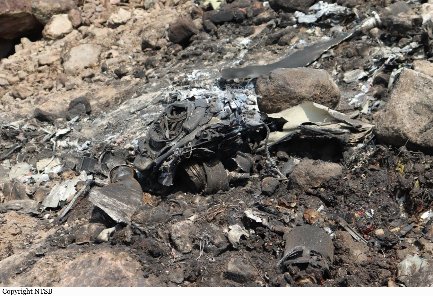
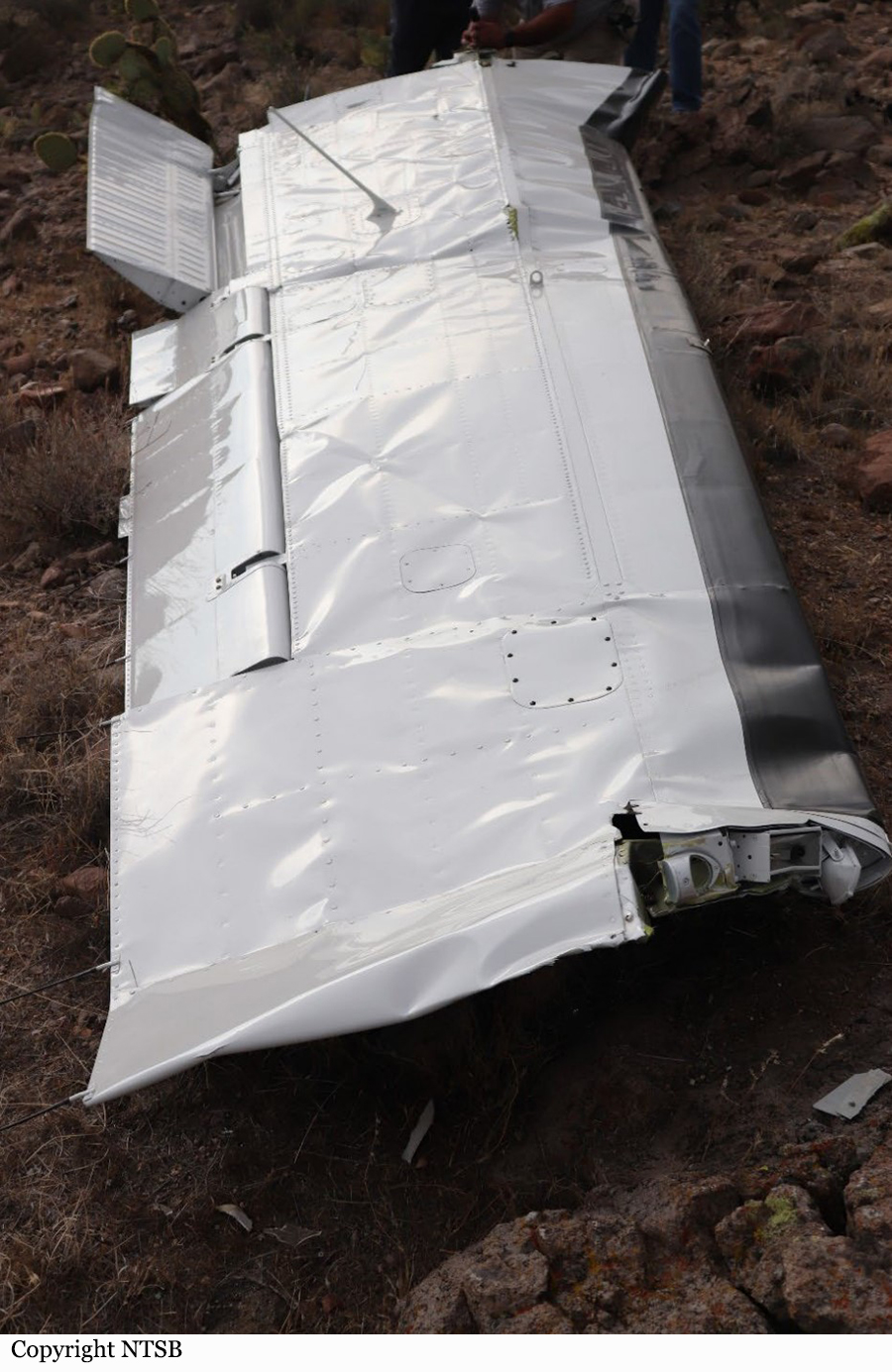
On July 10, 2021, about 1254 mountain standard time, a Beech C-90, turbo prop airplane, N3688P, was destroyed when it was involved in an accident near Wikieup, Arizona. The pilot and Air Tactical Group supervisor were fatally injured. The airplane was operated as a public use firefighting aircraft in support of the Bureau of Land Management conducting aerial reconnaissance and supervision. The airplane was on station for about 45 minutes over the area of the Cedar Basin fire. The ADS-B data showed the airplane had accomplished multiple orbits over the area of the fire about 2,500 ft above ground level (agl). The last ADS-B data point showed the airplane’s airspeed as 151 knots, its altitude about 2,300 ft agl, and in a descent, about 805 ft east southeast of the accident site. No distress call from the airplane was overheard on the radio. According to a witness, the airplane was observed in a steep dive towards the ground. The airplane impacted the side of a ridgeline in mountainous desert terrain. The main wreckage was mostly consumed by a post-crash fire. Debris was scattered over an area of several acres. Another witness observed the left wing falling to the ground after the aircraft had impacted the terrain. The left wing had separated outboard of the nacelle and was located about 0.79 miles northeast of the main wreckage and did not sustain thermal damage.
Probable cause:
The failure and separation of the left wing’s outboard section due to a fatigue crack in the lower spar cap. Contributing to the accident was the operator’s decision to repair the wing spar instead of replacing it as recommended by the aircraft manufacturer. Also contributing to the accident was the failure of the Non-Destructive Testing inspector to detect the fatigue crack during inspection.
Final Report:

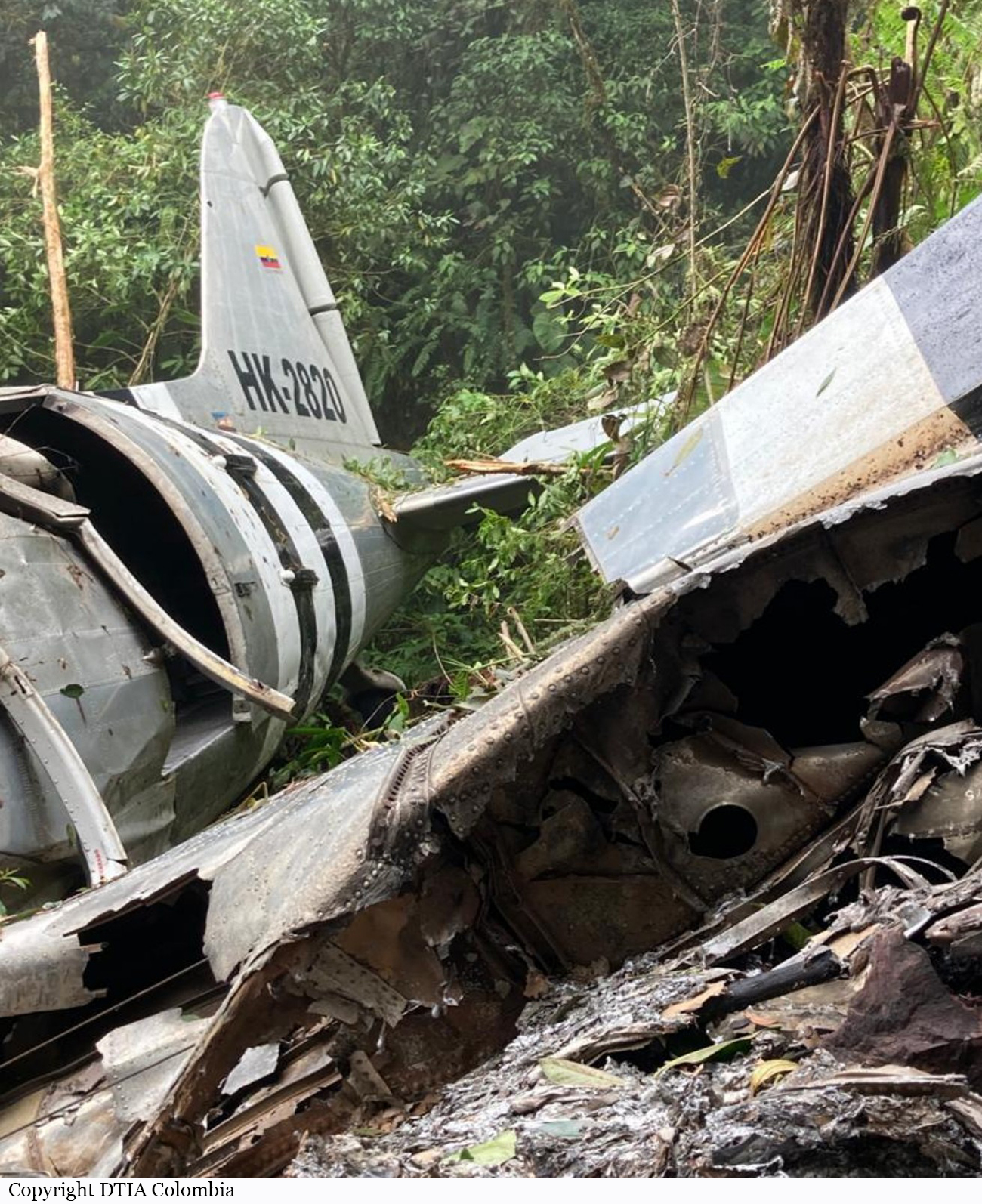
Crash of a Douglas DC-3C near Restrepo: 3 killed

Date & Time: Jul 8, 2021 at 0709 LT
Type of aircraft:
Operator:
Registration:
HK-2820
Flight Phase:
Flight Type:
Survivors:
No
Site:
Schedule:
Villavicencio - Villavicencio
MSN:
20171
YOM:
1944
Location:
Country:
Crew on board:
2
Crew fatalities:
Pax on board:
1
Pax fatalities:
Other fatalities:
Total fatalities:
3
Captain / Total flying hours:
16923
Captain / Total hours on type:
16680.00
Copilot / Total flying hours:
9387
Copilot / Total hours on type:
8170
Aircraft flight hours:
18472
Circumstances:
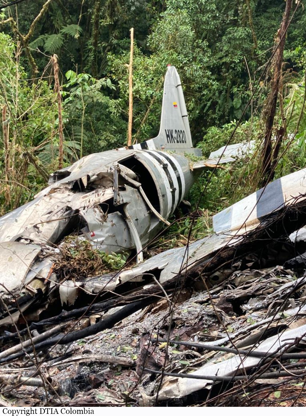
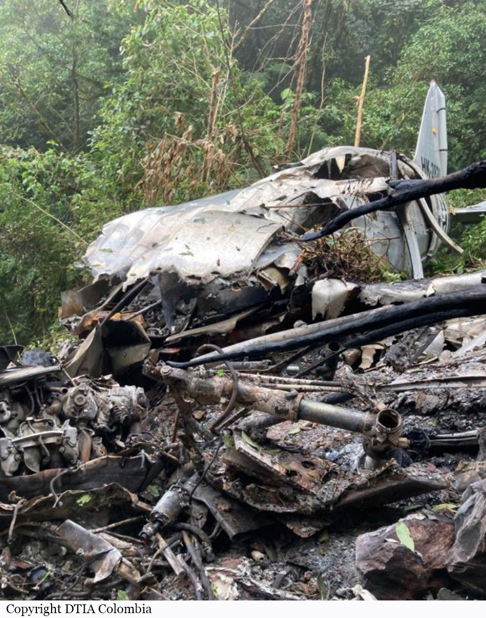
The twin engine airplane departed Villavicencio-La Vanguardia Airport Runway 05 at 0659LT on a training flight consisting with a proficiency check of the captain. On board were one instructor, one captain and one mechanic. About 10 minutes into the flight, while cruising at an altitude of 6,000 feet over mountainous terrain in Instrument Meteorological Conditions, the airplane impacted trees and crashed on the slope of a hilly terrain located in the region of Restrepo. The wreckage was found three days later. All three crew members were killed.
Probable cause:
Probable causes:
- Controlled flight into terrain during the execution of the IFR departure procedure VVC2A, during which the crew mistakenly turned left, contrary to the procedure, heading towards the mountainous area at the foothills of the eastern range, where the impact occurred.
- Loss of situational awareness by the crew, which, for reasons that could not be determined, apparently made a controlled left turn, contrary to the indications of the VVC2A departure procedure, even though it was an experienced crew familiar with the operating area.

The following contributing factors were identified:
- Lack of operator standards, as there was no detailed, organized, and sequential instructional plan and syllabus for the crew to follow during each maneuver, such as the VVC2A instrument departure.
- Lack of operator standards, as there was no specific syllabus for the planning and execution of the Recurrent Check, taking into account, among other aspects, the composition of the aircraft crew, consisting of two instructor pilots, one of whom was conducting the check on the other.
- Inadequate planning and supervision of the training flight by the operator, as they did not conduct a specific risk analysis of the flight, did not monitor its preparation and execution, did not provide details in a flight order or other document, considering especially the composition of the aircraft crew, consisting of two instructor pilots, one of whom was conducting the check on the other.
- Deficient planning and preparation of the flight by the crew, as they informally changed the VFR Flight Plan to IFR, apparently did not conduct a complete and adequate briefing, were unaware of or did not consider the VVC2A SID for the start of the IFR flight, and omitted several IFR flight procedures.
- Crew's neglect of the following IFR flight procedures:
- Not specifying a route and an IFR departure procedure in the IFR Flight Plan.
- Not requesting complete authorization from ATC to initiate an IFR flight. At no time did they mention the VVC2A departure, which was key to the verbally proposed plan before takeoff.
- Not defining or requesting from ATS which standard departure procedure or other they would use to initiate the IFR flight, in which they would encounter IMC shortly after takeoff.
- Not requiring ATC to assign a transponder code before takeoff or at any other phase of the flight, or selecting code 2000 as they did not receive instructions from ATS to activate the transponder.
- Likely not activating the transponder before takeoff and/or not verifying its correct operation before takeoff or immediately once the aircraft was in the air.
- Inaccurate use of phraseology with non-standard terminology in their transmissions with ATC.
- Insufficient experience and training in IFR flights by the crew, despite their extensive experience with the equipment. Much of this experience had been gained in the eastern region of the country, where the majority of DC3 flights are conducted in VMC and under VFR, with no opportunity for the practical execution of IFR procedures.
- Overconfidence of the crew, influenced by factors such as the high flight experience and DC3 equipment experience of the two pilots in the crew, their status as instructor pilots, the relatively low operational demand of the flight mission, and the knowledge, familiarity, and confidence of both crew members with the aerodrome's characteristics, the surrounding area, and especially the peculiarities and risks of the terrain to the west of the takeoff path.
- Non-observance by air traffic control of the following IFR flight procedures initiated by HK2820:
- Failure to issue complete authorization to the aircraft for the IFR flight before initiating the flight or at any other time.
- Failure to issue a standardized instrument departure, SID, or any other safe departure procedure to the aircraft. At no time did ATC mention the VVC2A departure, which was crucial for carrying out the plan verbally proposed by the crew.
- Failure to provide the aircraft with a transponder code before takeoff or at another appropriate time, or to verify its response. This process started only 03:11 minutes after the aircraft took off, so positive radar contact verification was only achieved 04:58 minutes after takeoff, delaying radar presentation and limiting positive flight control.
- Late transfer of aircraft control from the Control Tower to Approach Control (03:35 minutes after takeoff), not immediately after the aircraft was airborne as it should have been, considering prevailing IMC flight conditions in the vicinity of the aerodrome.
- Operating with an incomplete radar display configuration in Approach Control, with insufficient symbology, depriving control of references and judgment elements for an accurate location of the aircraft and its left turn from the path.
- Failure to observe radar surveillance techniques and procedures.
- Inaccurate use of phraseology with non-standard terminology in their transmissions with the aircraft.
- Lack of situational awareness by both the crew and ATC during a flight that, perhaps because it seemed routine, led both parties to omit elementary IFR flight procedures, disregarding the inherent risks of an operation in IMC conditions, with strict IFR procedures that needed to be followed, considering, among other things, the aerodrome's proximity to a mountainous area.
Final Report:

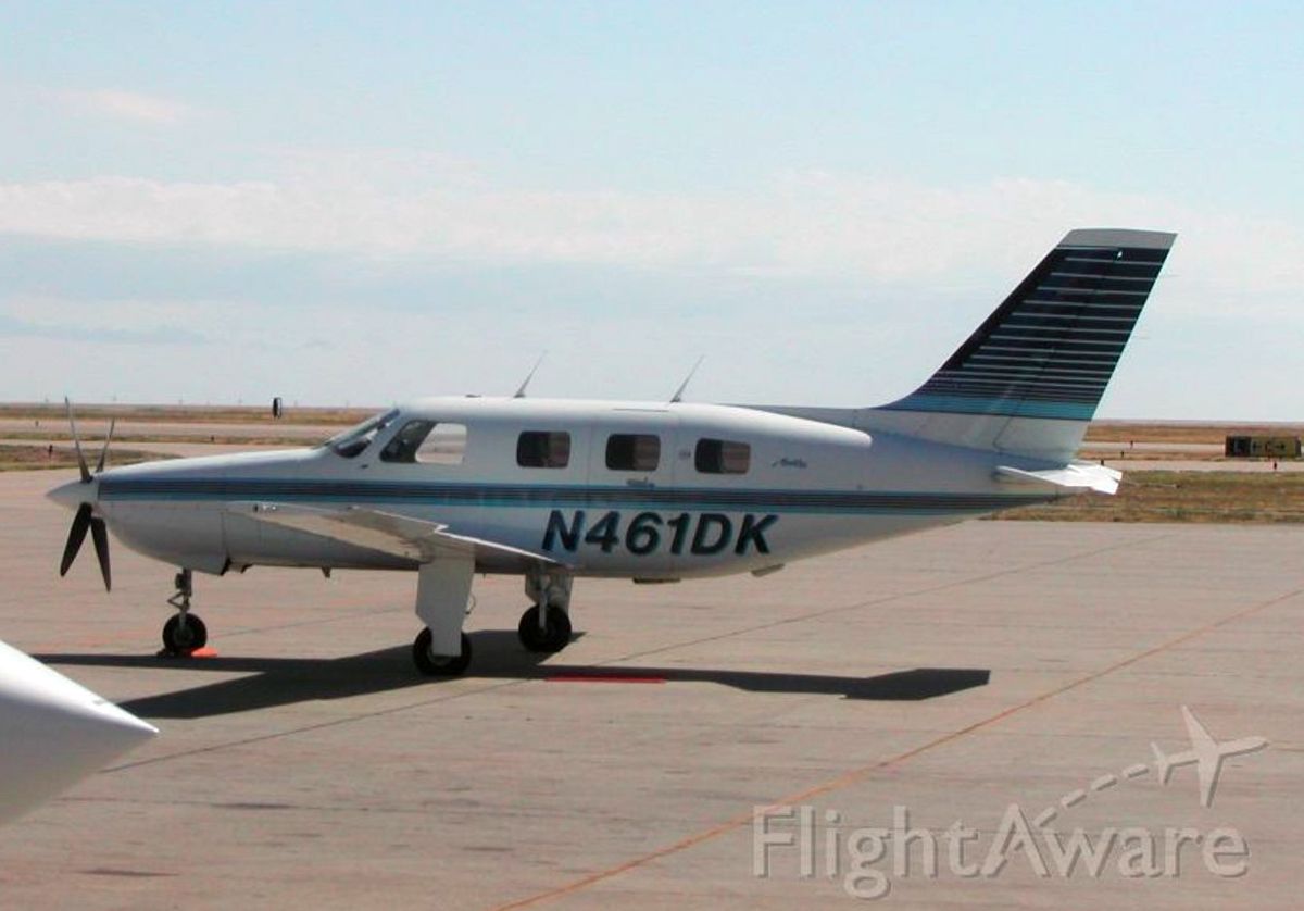
Crash of a Piper PA-46-310P Malibu in Danville: 4 killed

Date & Time: Apr 23, 2021 at 1701 LT
Operator:
Registration:
N461DK
Flight Phase:
Flight Type:
Survivors:
No
Site:
Schedule:
Muskogee – Williston
MSN:
46-8508102
YOM:
1985
Crew on board:
1
Crew fatalities:
Pax on board:
3
Pax fatalities:
Other fatalities:
Total fatalities:
4
Captain / Total flying hours:
1431
Circumstances:
The pilot was conducting an instrument flight rules cross-country flight and climbing to a planned altitude of 23,000 ft mean sea level (msl). According to air traffic control data, as the airplane climbed through 18,600 ft msl, its groundspeed was 171 knots, and a gradual reduction in groundspeed began. After reaching an altitude of about 20,200 ft msl, the airplane began a descent on a southeast heading. Just before the descent began, the airplane’s groundspeed had decreased to 145 knots. About 2 minutes after the descent began, the airplane turned right to a northeast heading on which it continued for about 30 seconds. The flightpath then became erratic before the data ended. The pilot made no distress calls and did not respond to repeated calls from the controller. The main wreckage of the airplane was located in densely forested terrain at an elevation of about 930 ft about 1,000 ft south of the last radar return. The outboard portion of the right wing, right aileron, right horizontal stabilizer, and right elevator were not located with the main wreckage and, despite ground and aerial searches with a small unmanned aircraft system, were not found. Examination of the wreckage indicated that the missing wing and tail sections separated in flight due to overload. Examination of the recovered airframe and engine did not reveal evidence of any pre-existing mechanical malfunctions or anomalies that would have precluded normal operation. Weather forecasts indicated that the accident site was in an area where moderate icing conditions up to 25,000 ft msl, embedded thunderstorms, and 2-inch hail were forecasted. Review of preflight weather information received by the pilot indicated that he was aware of the conditions forecast on the route of flight before initiating the flight. Meteorological data revealed that the airplane likely entered icing conditions that ranged from light to heavy as it climbed through 14,000 ft msl about 23 minutes after takeoff and remained in icing conditions for the remaining 16-minute duration of the flight. Freezing drizzle conditions were likely present along the flightpath. Although the airplane was equipped for flight in icing conditions, the pilot’s operating handbook contained a warning about flight into severe icing conditions, which stated that flight in freezing drizzle could result in ice build-up on protected surfaces exceeding the capability of the ice protection system. The airplane’s gradual loss of groundspeed as it climbed was consistent with ice accumulating on the airplane. It is likely that during the 16 minutes the airplane was operating in icing conditions, the capability of the ice protection system was exceeded, which resulted in a degradation of aircraft performance and subsequent aerodynamic stall. During the ensuing uncontrolled descent, the structural capability of the airplane was exceeded, which resulted in an inflight break up. A review of the pilot’s records revealed multiple certificate application failures for reasons that included inadequate knowledge of cross-country flight planning, aircraft performance, and stalls. Review of the pilot’s airman knowledge written tests found areas answered incorrectly over multiple exams included meteorology, aircraft performance, aeronautical decision-making, and stalls. The ethanol identified in the pilot’s cavity blood was most likely the result of postmortem production. Therefore, effects from ethanol did not play any role in this accident. The cargo was documented as it was removed from the airplane and remained secure until after it was weighed. Based upon the weight of the cargo, passengers, airplane, and fuel from the filed flight plan, at the time of departure, the airplane would have been about 361 lbs over maximum gross weight. According to the FAA Pilot’s Handbook of Aeronautical Knowledge, an overloaded airplane “may exhibit unexpected and unusually poor flight characteristics,” which include reduced maneuverability and an increased stall speed.
Probable cause:
The pilot’s improper decision to continue flight in an area of moderate-to-heavy icing conditions, which resulted in exceedance of the airplane’s anti-icing system capabilities, a degradation of aircraft performance, and subsequent aerodynamic stall.
Final Report:

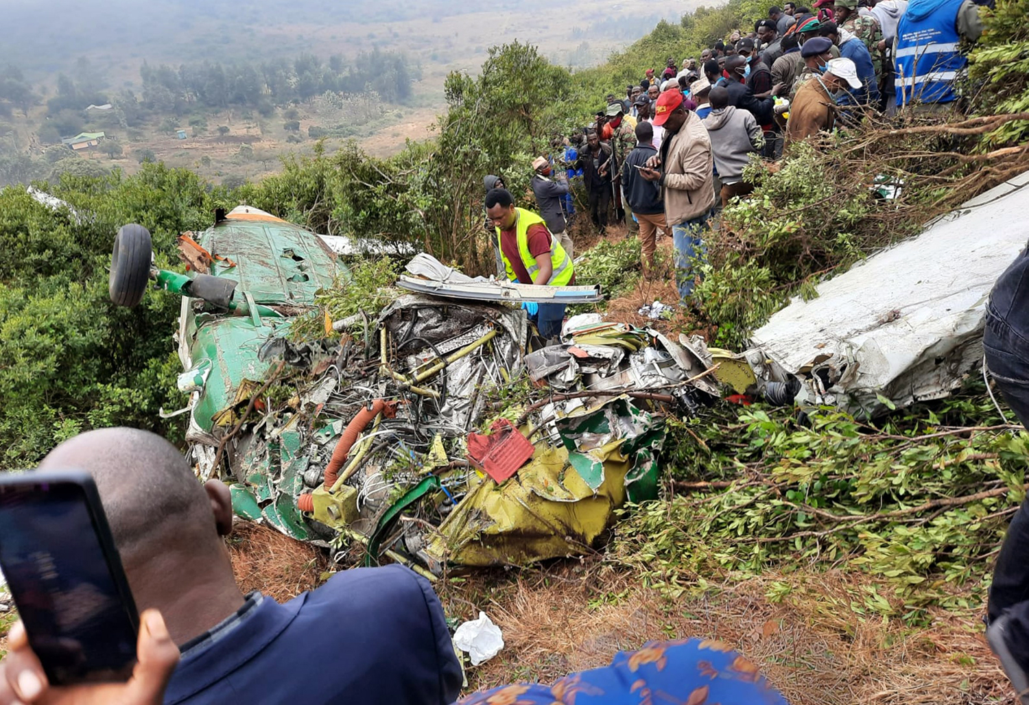
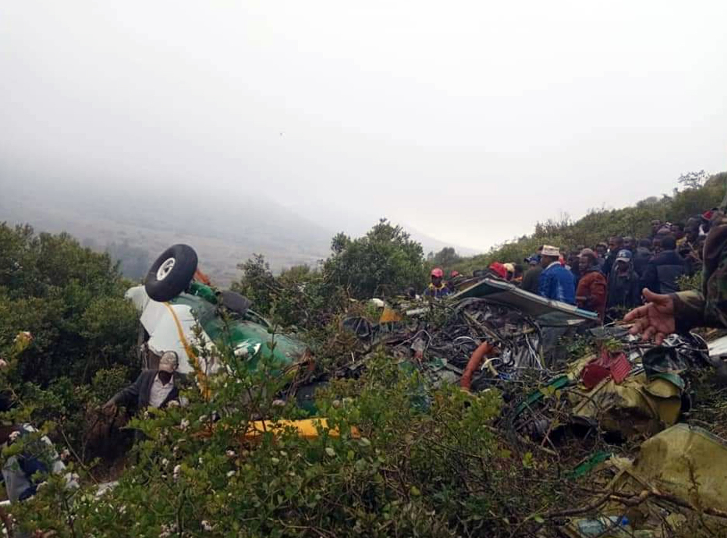
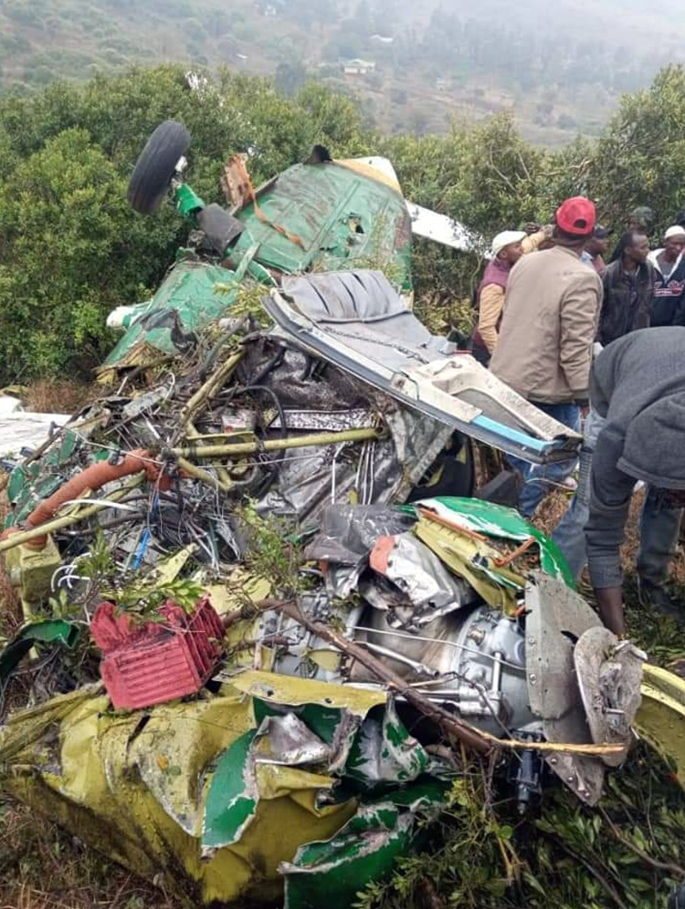
Crash of a Cessna 208B Grand Caravan in Marsabit: 2 killed

Date & Time: Mar 20, 2021 at 1000 LT
Type of aircraft:
Operator:
Registration:
5Y-JKN
Flight Type:
Survivors:
No
Site:
Schedule:
Nairobi – Marsabit
MSN:
208B-0688
YOM:
1998
Country:
Region:
Crew on board:
2
Crew fatalities:
Pax on board:
0
Pax fatalities:
Other fatalities:
Total fatalities:
2
Captain / Total flying hours:
4235
Captain / Total hours on type:
2329.00
Copilot / Total flying hours:
344
Copilot / Total hours on type:
104
Aircraft flight hours:
16343
Circumstances:
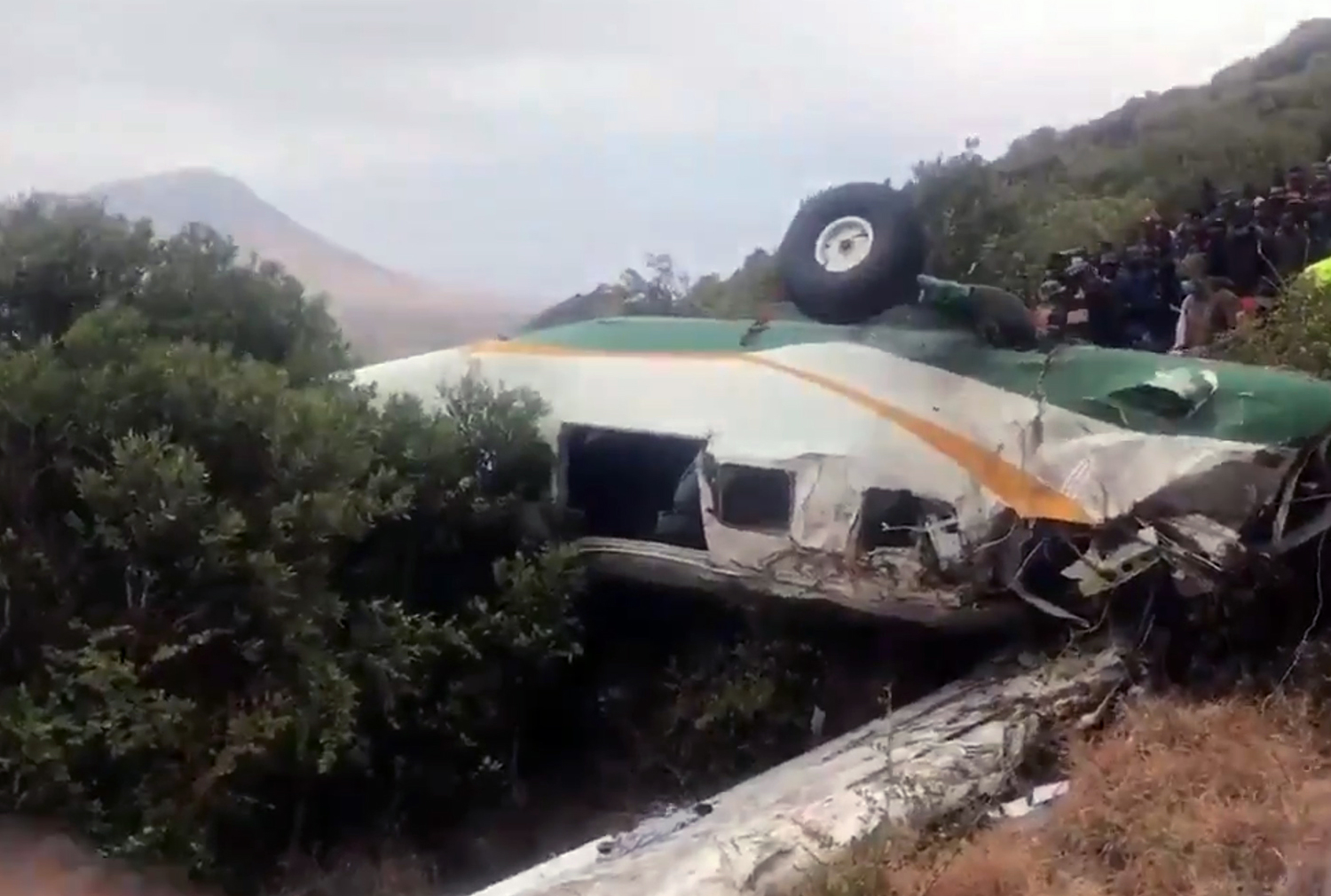
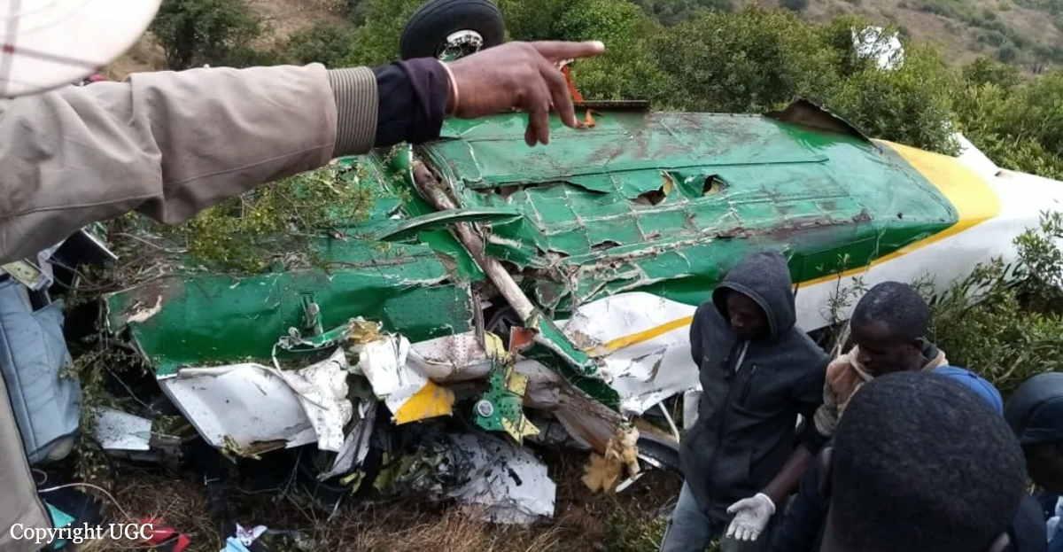
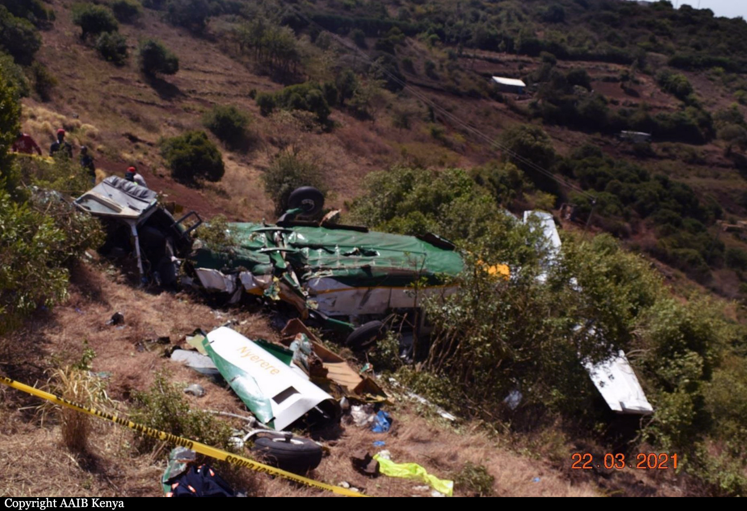
The report describes the accident to C208B type of aircraft, registration 5Y-JKN with two crew on onboard that occurred on Marsabit Hill on 20th March 2021 in which the aircraft crashed killing two crew onboard. The aircraft with 2200lbs fuel onboard was chartered to ferry Marsabit County Officials to a peace keeping mission at Illeret 156 nautical miles North West of Marsabit town. Preliminary information revealed that the aircraft departed Wilson Airport at 08.20am (0520Z) and arrived within the vicinity of Marsabit town at around 10.00a.m (0700Z). It collided with Kofia Mbaya Hill - Marsabit terrain while attempting to approach Marsabit airstrip. The aircraft first impacted the terrain with its nose-wheel and the main landing gears leaving parts of the fuselage and iron box with its content kept in the lower baggage compartment on the sport. It then ballooned and missed a house before it flipped upside down and impacted the ground and came to rest facing opposite direction. It left a trail of aircraft parts along its path before it came to rest. The nosewheel and its assembly separated and fell off and was found next to the house 110m from its first point of impact. There was no fire after impact but all the occupants received fatal injuries.
Probable cause:
The probable cause of the accident was a continued descend into terrain without forward visibility in thick fog.
The following contributing factors were identified:
- Location of the airstrip which is surrounded by high hills,
- Inadequate flight planning and crew resource management.
Final Report:
Crash of a Piper PA-46R-350T Matrix in Tehachapi: 1 killed

Date & Time: Feb 13, 2021 at 1627 LT
Operator:
Registration:
N40TS
Flight Phase:
Flight Type:
Survivors:
No
Site:
Schedule:
Camarillo – Mammoth Lakes
MSN:
46-92156
YOM:
2010
Crew on board:
1
Crew fatalities:
Pax on board:
0
Pax fatalities:
Other fatalities:
Total fatalities:
1
Captain / Total flying hours:
1820
Captain / Total hours on type:
63.00
Aircraft flight hours:
877
Circumstances:
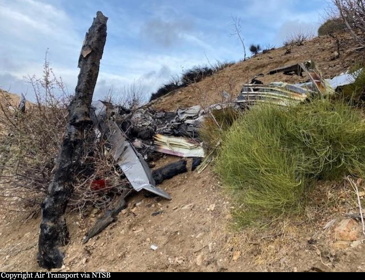
The non-instrument-rated pilot departed on a cross-country flight. Radar track data revealed the airplane traveled on a relatively straight course to the northeast for about 32 minutes. Near the end of the flight track data, the track showed an increasingly tight left spiraling turn near the accident site. The airplane impacted steep sloping terrain, and a postimpact fire ensued. As a result of the impact, the airplane was segmented into several sections. Examination of the wreckage revealed no evidence of mechanical malfunction or failures that would have precluded normal operation. The attitude indicator instrument was disassembled, and the vacuum-powered rotor and housing revealed rotational scoring damage, indicating the instrument vacuum system was operational at the time of the accident. The investigation found no evidence indicating the pilot checked the weather or received weather information before departure. The surrounding weather reporting stations near the accident site reported wind conditions with peak gusts up to 47 knots around the time of the accident. The pilot likely encountered mountain wave activity with severe turbulence, which resulted in loss of control of the airplane and impact with terrain. Contributing to the accident was the pilot’s failure to obtain a preflight weather briefing, which would have alerted him to the presence of hazardous strong winds and turbulent conditions. Postmortem toxicology testing of the pilot’s lung and muscle tissue samples detected several substances that are mentally and physically impairing individually and even more so in combination for performing hazardous and complex tasks. However, blood concentrations are needed to determine the level of impairment, and no blood samples for the pilot were available. While the pilot was taking potentially impairing medications and likely had conditions that would influence decision making and reduce performance, without blood concentrations, it was not possible to determine whether the potentially impairing combination of medications degraded his ability to safely operate the airplane.
Probable cause:
The pilot’s encounter with mountain wave activity with severe turbulence, which resulted in a loss of airplane control. Contributing to the accident was the pilot’s failure to obtain a preflight
weather briefing.
Final Report:

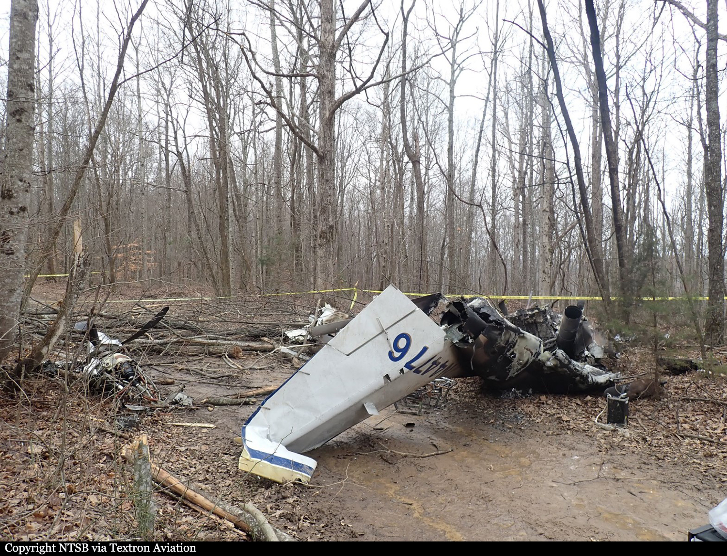
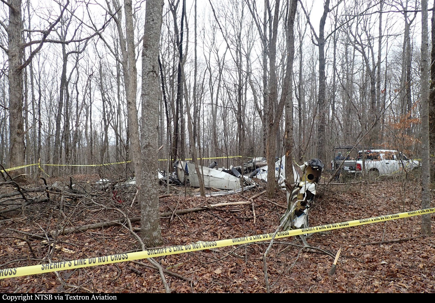
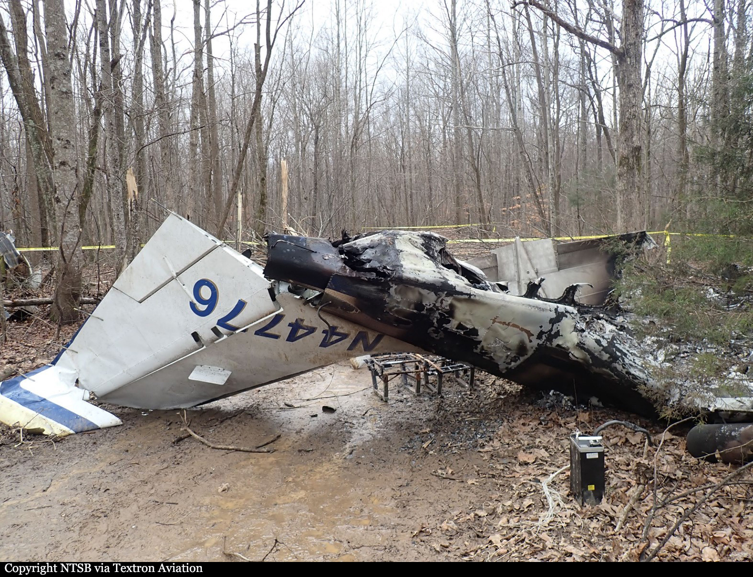
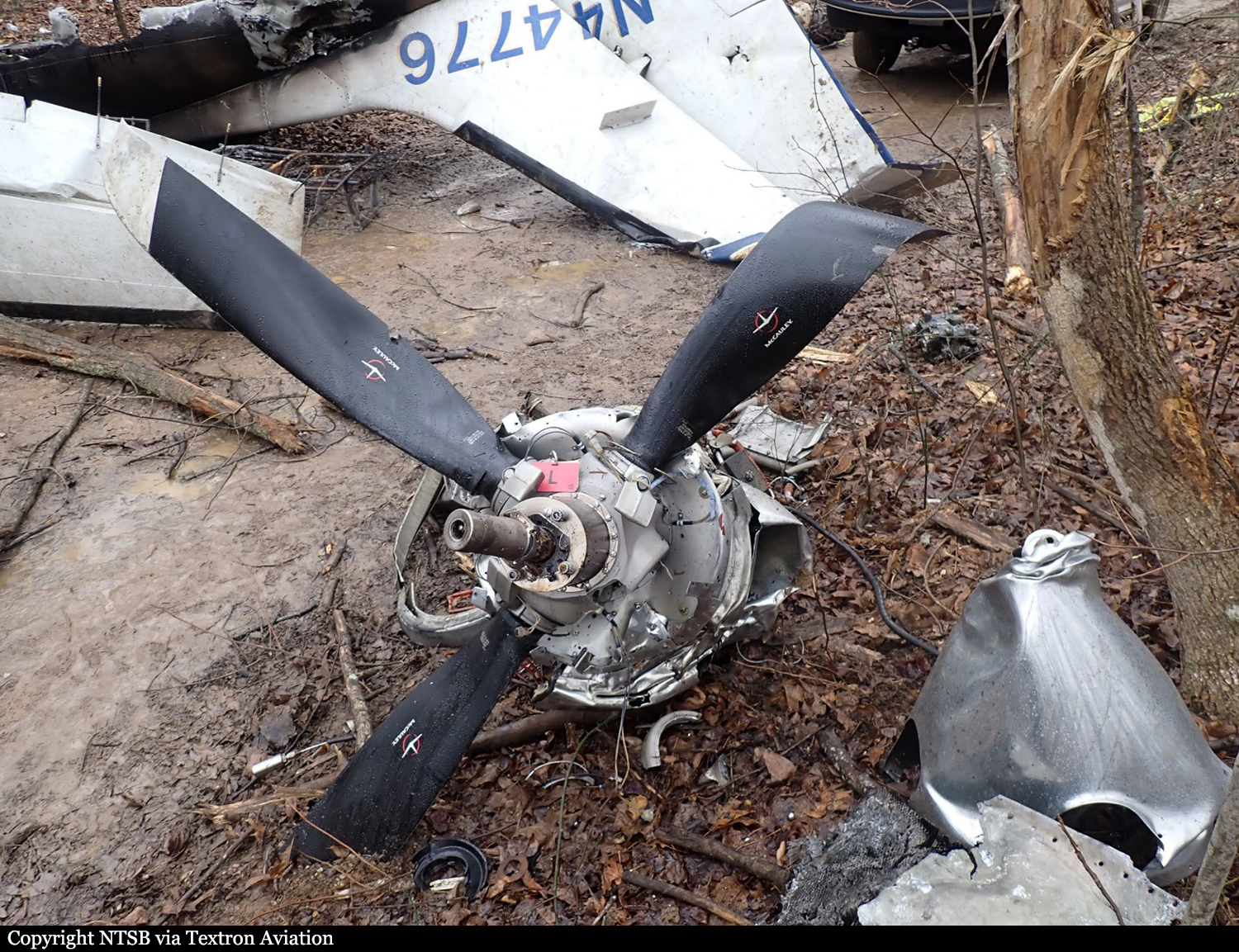
Crash of a Cessna 441 Conquest II near Winchester: 2 killed

Date & Time: Feb 7, 2021 at 1647 LT
Type of aircraft:
Operator:
Registration:
N44776
Flight Type:
Survivors:
No
Site:
Schedule:
Thomasville – Winchester
MSN:
441-0121
YOM:
1980
Crew on board:
1
Crew fatalities:
Pax on board:
1
Pax fatalities:
Other fatalities:
Total fatalities:
2
Circumstances:
The pilot was conducting a cross-country flight and was beginning an instrument flight rules approach from the south. Weather conditions at the destination airport included a ceiling between 800 and 1,000 ft and light rime icing conditions in clouds; the pilot was aware of these conditions. Elevated, wooded terrain existed along the final approach course. Radar and automatic dependent surveillance-broadcast data revealed that the airplane crossed the intermediate approach fix at the correct altitude; however, the pilot descended the airplane below the final approach fix altitude about 4 miles before the fix. The airplane continued in a gradual descent until radar contact was lost. No distress calls were received from the airplane before the accident. The airplane crashed on a north-northwesterly heading about 5 miles south of the runway threshold. The elevation at the accident site was about 1,880 ft, which was about 900 ft higher than the airport elevation. Postaccident examination of the airframe, engines, and propellers revealed no evidence of a pre-existing mechanical failure or anomaly that would have precluded normal operation. Because of the weather conditions at the time of the final approach, the pilot likely attempted to fly the airplane under the weather to visually acquire the runway. The terrain along the final approach course would have been obscured in low clouds at the time, resulting in controlled flight into terrain.
Probable cause:
The pilot’s failure to follow the published instrument approach procedure by prematurely descending the airplane below the final approach fix altitude to fly under the low ceiling conditions, which resulted in controlled flight into terrain.
Final Report:
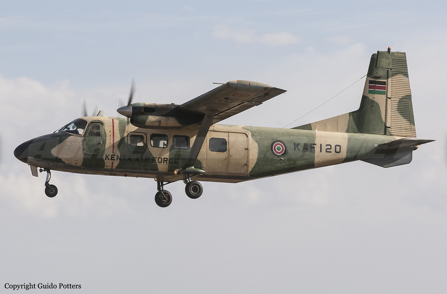
Crash of a Harbin Yunsunji Y-12 II in Voi: 4 killed

Date & Time: Jan 12, 2021
Type of aircraft:
Operator:
Flight Type:
Survivors:
No
Site:
Schedule:
Nairobi - Voi
Location:
Country:
Region:
Crew on board:
4
Crew fatalities:
Pax on board:
0
Pax fatalities:
Other fatalities:
Total fatalities:
4
Circumstances:
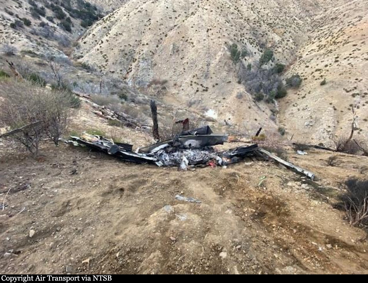
On approach to Voi Airport, the twin engine aircraft struck the slope of Mt Irima located about 9 km north from runway 18 threshold. All four occupants were killed. Registration unconfirmed.

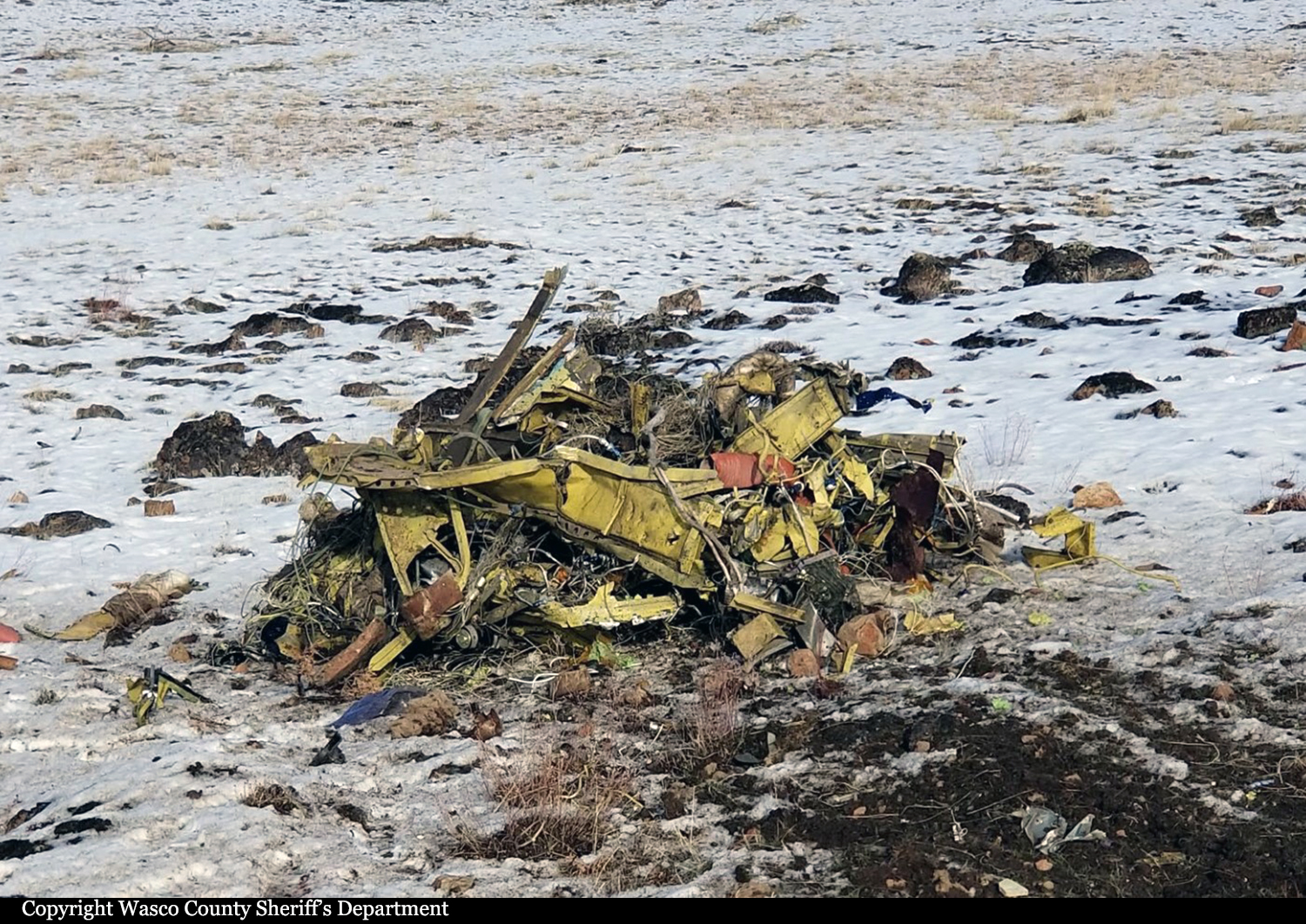
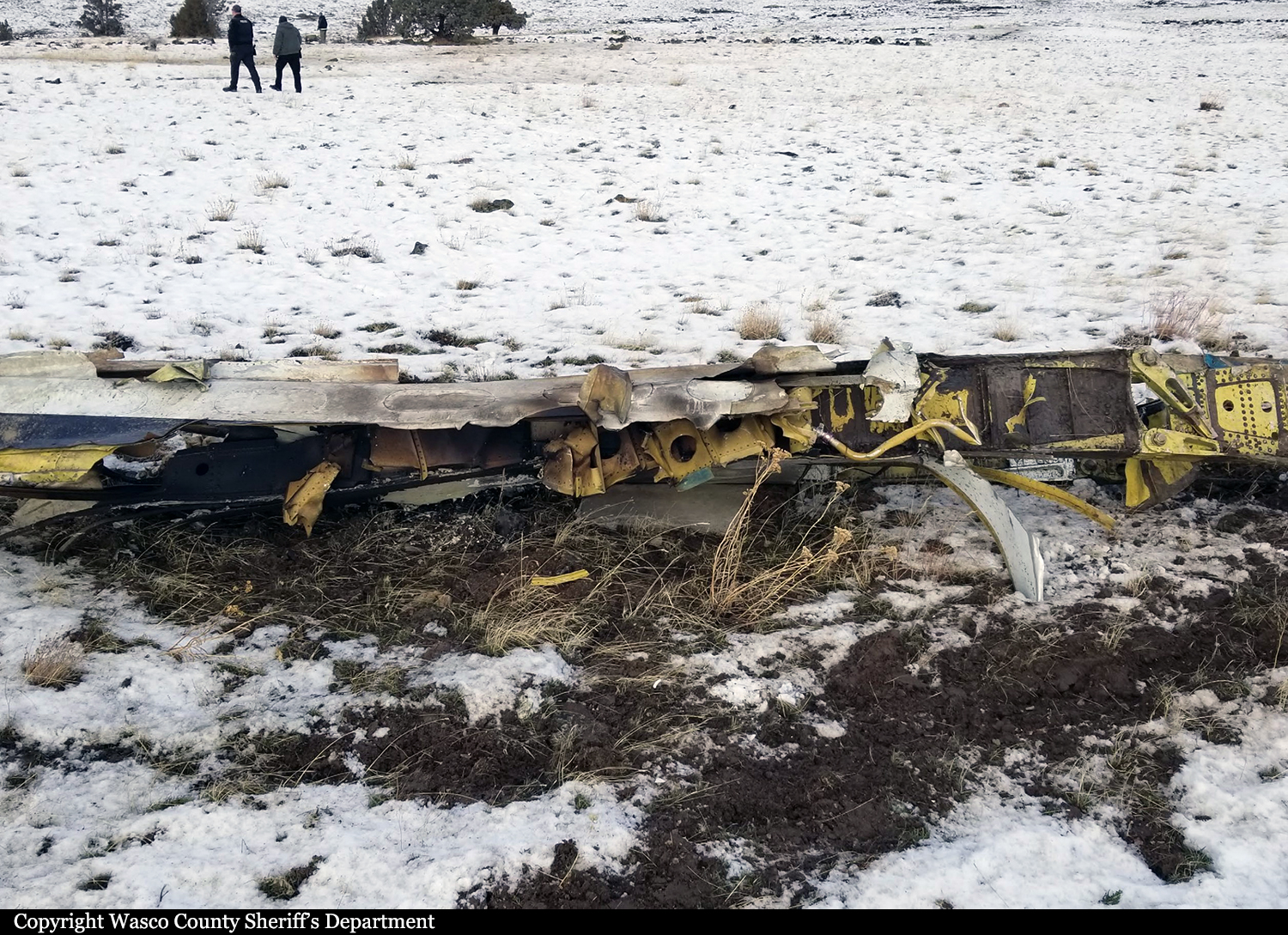
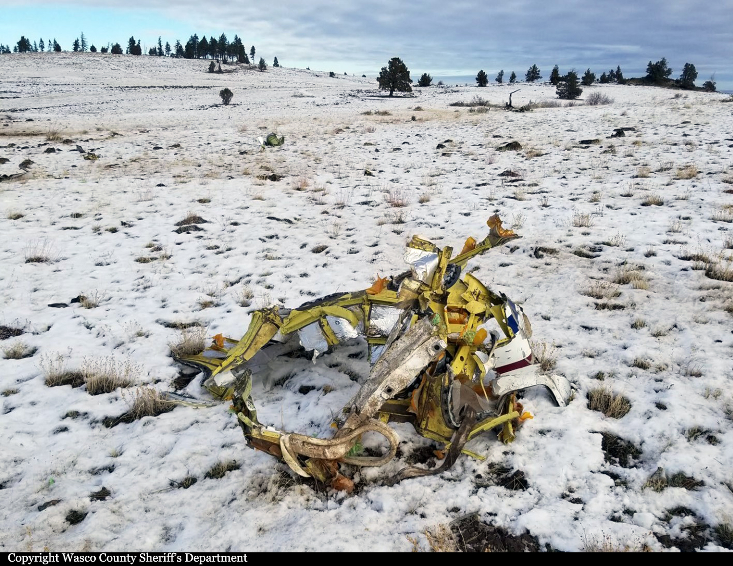
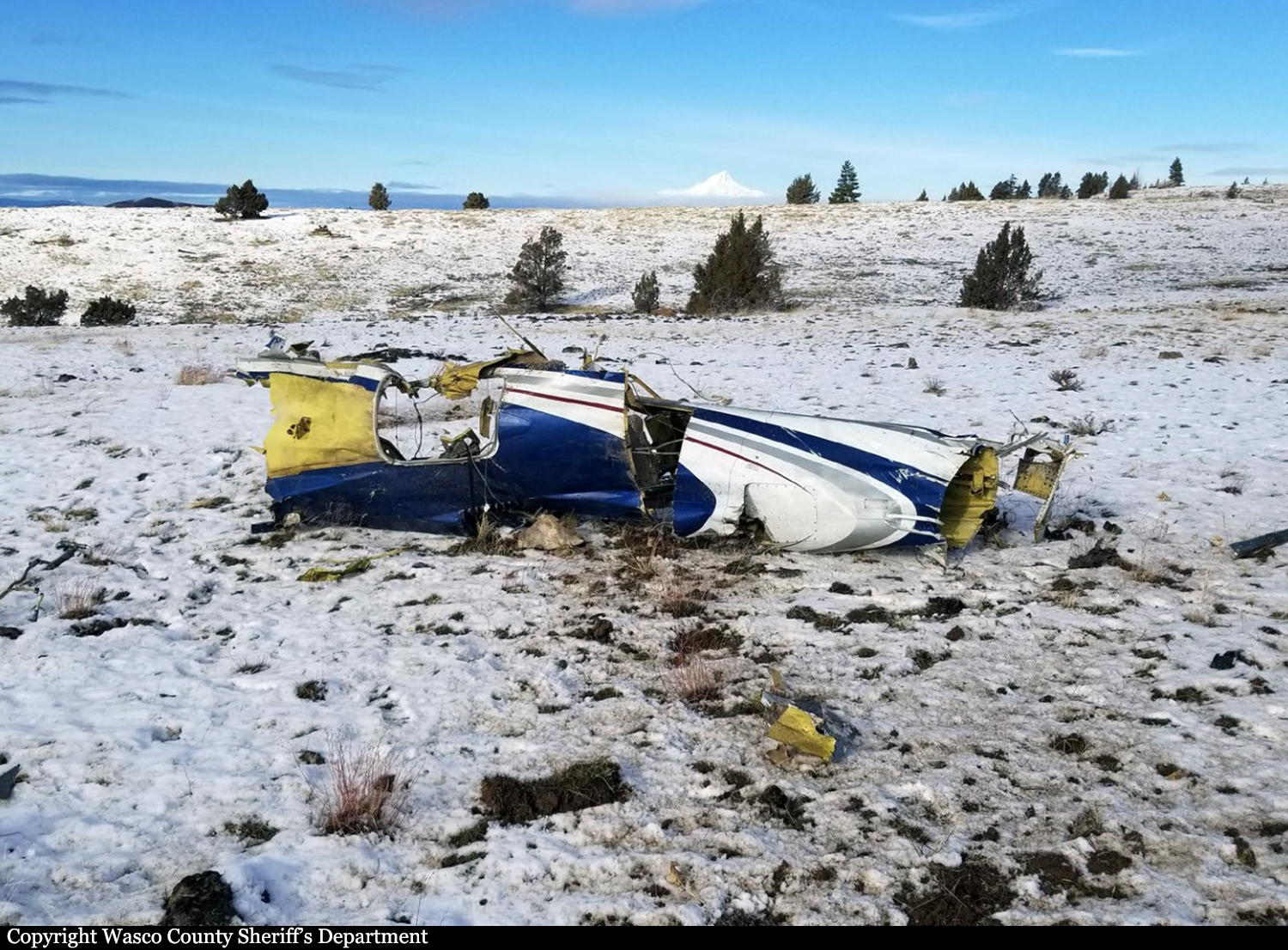
Crash of a Cessna 560 Citation V near Warm Springs: 1 killed

Date & Time: Jan 9, 2021 at 1337 LT
Type of aircraft:
Operator:
Registration:
N3RB
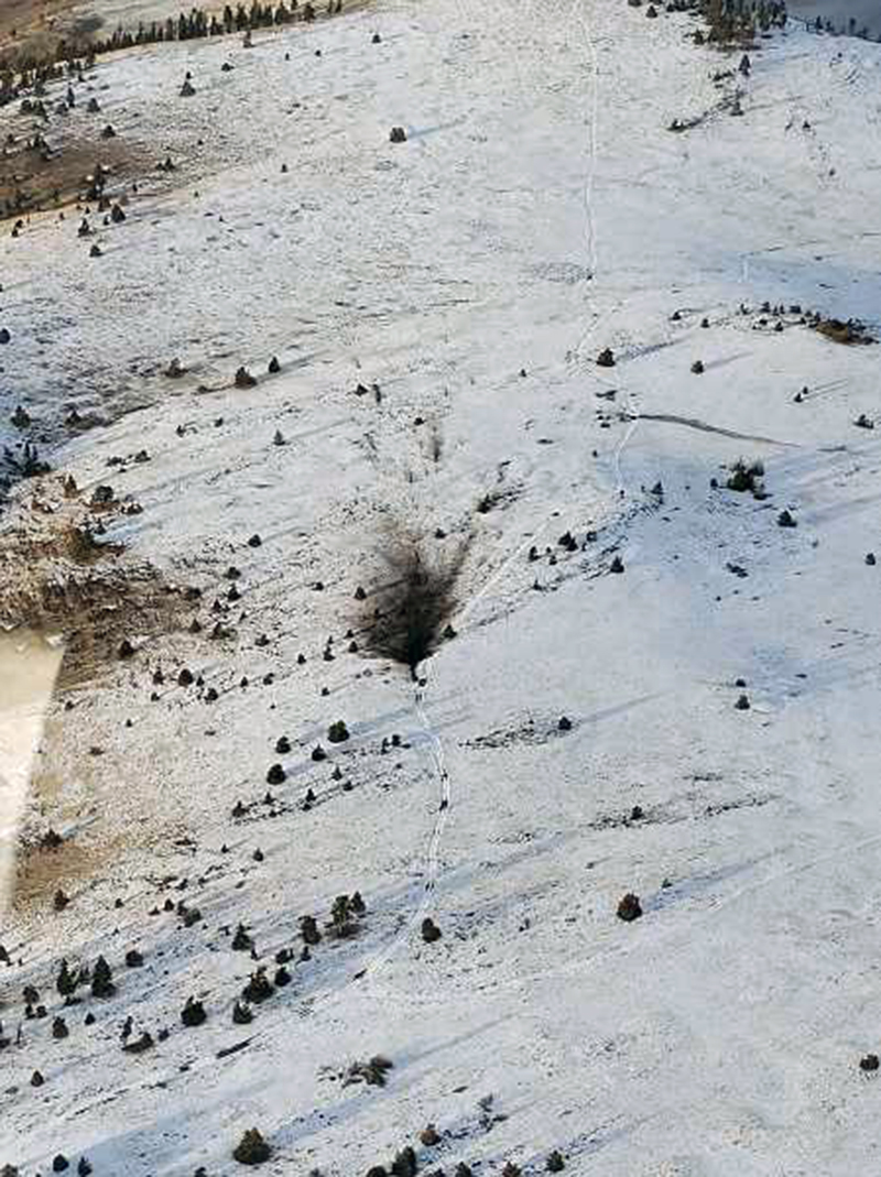
Flight Phase:
Flight Type:
Survivors:
No
Site:
Schedule:
Troutdale – Boise
MSN:
560-0035
YOM:
1989
Crew on board:
1
Crew fatalities:
Pax on board:
0
Pax fatalities:
Other fatalities:
Total fatalities:
1
Captain / Total flying hours:
12350
Captain / Total hours on type:
15.00
Aircraft flight hours:
13727
Circumstances:
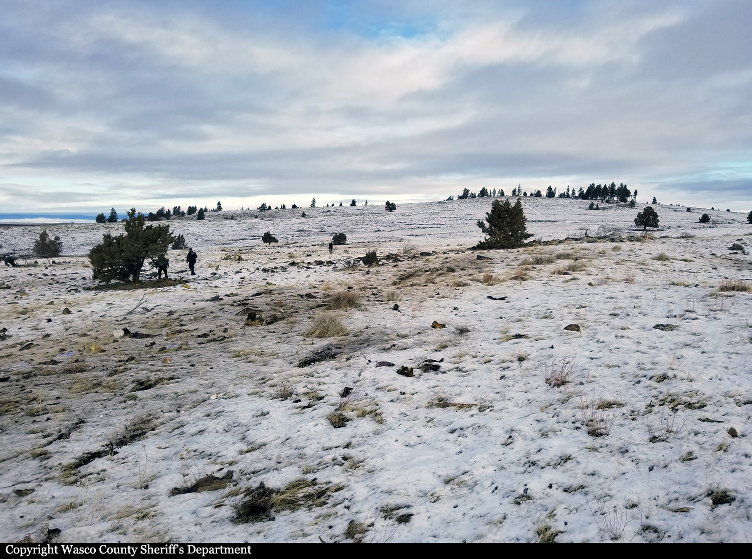
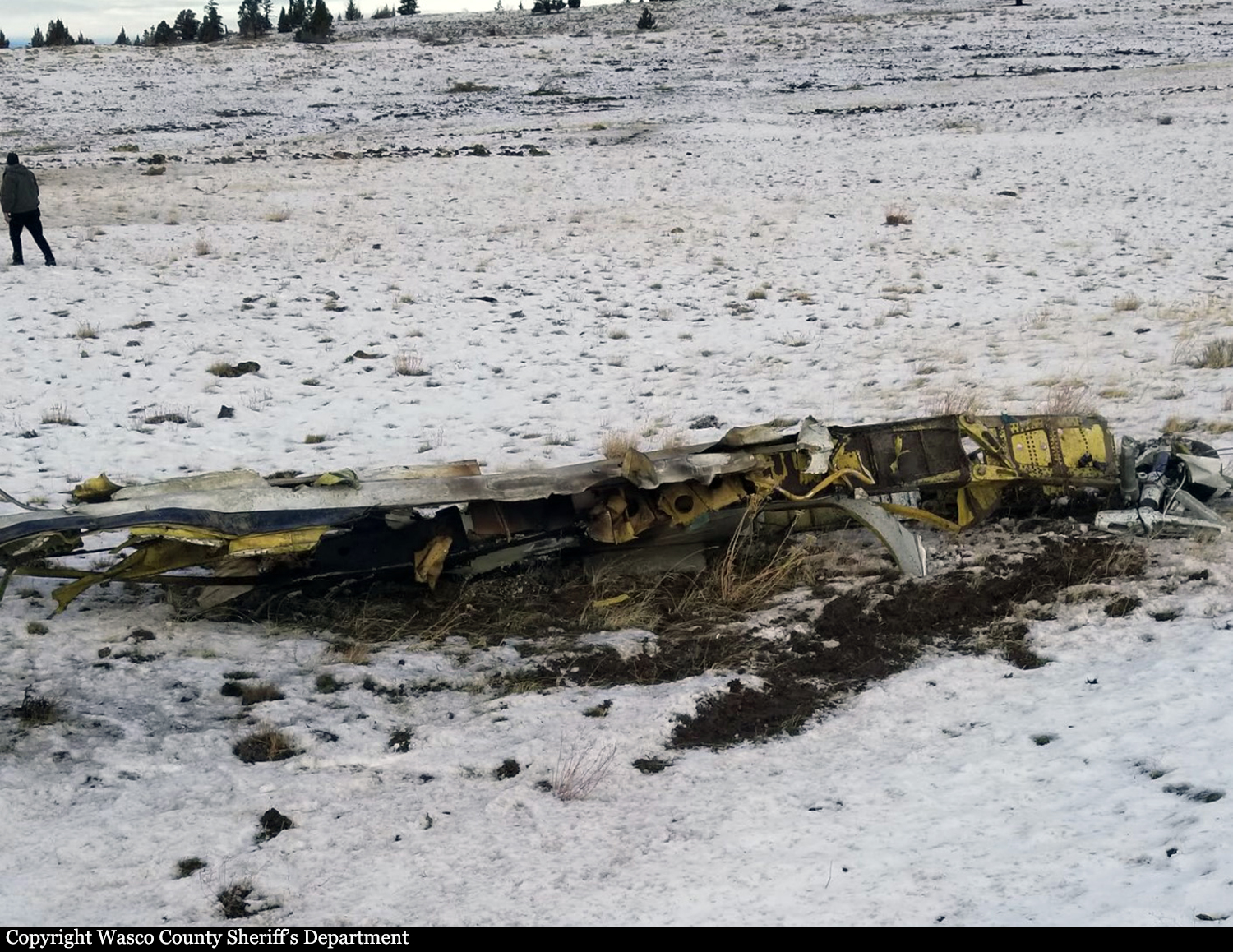
During the first 15 minutes of the flight, the pilot of the complex, high performance, jet airplane appeared to have difficulty maintaining the headings and altitudes assigned by air traffic controllers, and throughout the flight, responded intermittently to controller instructions. After reaching an altitude of 27,000 ft, the airplane began to deviate about 30° right of course while continuing to climb. The controller alerted the pilot, who did not respond, and the airplane continued to climb. Two minutes later, the airplane entered a tight, spiraling descent that lasted 8 minutes until the airplane impacted the ground at high speed in a rightwing-low attitude. The airplane was highly fragmented on impact; however, examination did not reveal any evidence of structural failure, in-flight fire, a bird strike, or a cabin depressurization event, and both engines appeared to be producing power at impact. Although the 72-year-old private pilot had extensive flight experience in multiple types of aircraft, including jets, he did not hold a type rating in the accident airplane, and the accident flight was likely the first time he had flown it solo. He had received training in the airplane about two months before the accident but was not issued a type rating and left before the training was complete. During the training, he struggled significantly in high workload environments and had difficulty operating the airplane’s avionics suite, which had recently been installed. He revealed to a fellow pilot that he preferred to “hand fly” the airplane rather than use the autopilot. The airplane’s heading and flight path before the spiraling descent were consistent with the pilot not using the autopilot; however, review of the flight path during the spiraling descent indicated that the speed variations appeared to closely match the airplane’s open loop phugoid response as documented during manufacturer flight tests; therefore, it is likely that the pilot was not manipulating the controls during that time.
Probable cause:
A loss of airplane control due to pilot incapacitation for reasons that could not be determined.
Final Report:
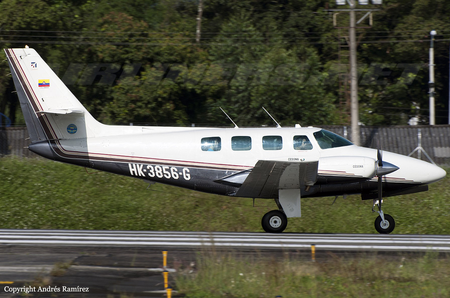
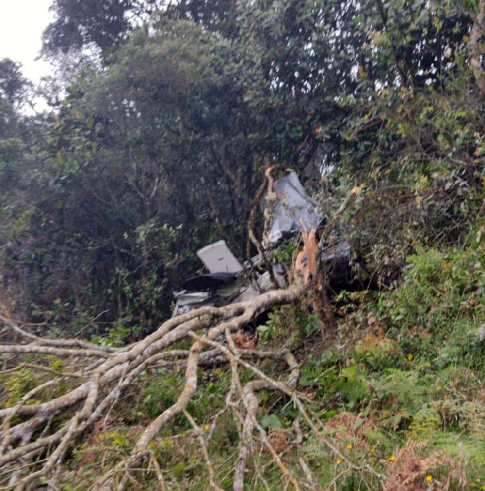
Crash of a Cessna T303 Crusader in Bojacá: 1 killed

Date & Time: Jan 8, 2021 at 1320 LT
Type of aircraft:
Operator:
Registration:
HK-3856-G
Flight Phase:
Flight Type:
Survivors:
No
Site:
Schedule:
Girardot – Bogotá
MSN:
303-00010
YOM:
1981
Country:
Crew on board:
1
Crew fatalities:
Pax on board:
0
Pax fatalities:
Other fatalities:
Total fatalities:
1
Circumstances:
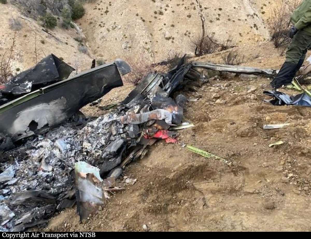
The pilot, sole on board, departed Flandes-Santiago Vila Airport runway 02 at 1257LT on a flight to Guaymaral in Bogotá. En route, weather conditions worsened and the visibility was poor. While cruising at an altitude of 9,260 feet, the twin engine airplane impacted trees and crashed in a wooded and hilly terrain located near Bojacá. The aircraft was destroyed by impact forces and the pilot was killed.
Probable cause:
The accident was the consequence of a controlled flight into terrain after the decision of the pilot to continue the flight under VFR mode in IMC conditions.
The following contributing factors were identified:
- The pilot took the decision to continue the flight to destination instead of returning to Flandes (Girardot) or to divert to the alternate airport,
- A low situational awareness on part of the pilot who failed to take into account the geographical environment and to maintain a safe separation from the terrain.
Final Report: