Date & Time:
May 15, 1960 at 2257 LT
Type of aircraft:
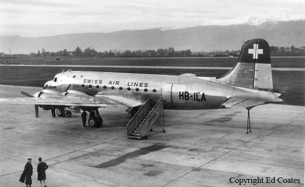
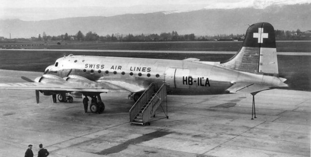
Douglas DC-4
Registration:
HB-ILA
Flight Phase:
Flight
Flight Type:
Charter/Taxi (Non Scheduled Revenue Flight)
Survivors:
No
Site:
Mountains
Schedule:
Geneva – Dakar – Niamey – Khartoum – Mecca
MSN:
43072
YOM:
1946
Country:
Sudan
Region:
Africa
Crew on board:
10
Crew fatalities:
10
Pax on board:
2
Pax fatalities:
2
Other fatalities:
0
Total fatalities:
12
Circumstances:
The aircraft was completing a positioning flight from Geneva to Mecca with intermediate stop at Dakar, Niamey and Khartoum, carrying a crew of ten and two Swiss journalists. While overflying Sudan by night at an altitude of 8,000 feet, the airplane struck the slope of a mountain located in the Djebel Marra. The wreckage was located few hours later. The airplane was destroyed and all 12 occupants were killed.
Probable cause:
It was determined that the accident was the consequence of the combination of the following factors:
- The fact that the aircraft progressed actually at an average ground speed of at least 200-205 knots while the crew believed they were proceeding with no more than 175-178 knots as estimated before takeoff,
- That a slight directional difference of 2 or 3 degrees may have existed between the calculated track and the actual flight path,
- That these two navigation inaccuracies could build up during a flight of 2,5 hours and could eventually result in a position error of about 70 NM to the west and about 30 NM to the south,
- That for reasons unknown to the Board the position report given for 1906Z and apparently established on the base of an astronomical fix must have been inaccurate and that the crew were, therefore, not able to be conscious of the discrepancies between the dead-reckoning and their actual position,
- That the aircraft flying at 8000 feet hit a slope of the Djebel Marra mountains four minutes before the crew expected to be overhead the El Fasher beacon where they would have begun the climb to 12000 feet and when, in their belief the aircraft should have been still more than 60 NM away from these mountains.


