Date & Time:
Jun 10, 2024 at 1016 LT
Type of aircraft:
Dornier DO228
Operator:
Malawi Air Force
Registration:
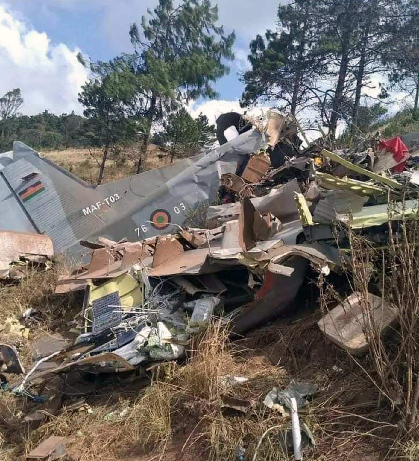
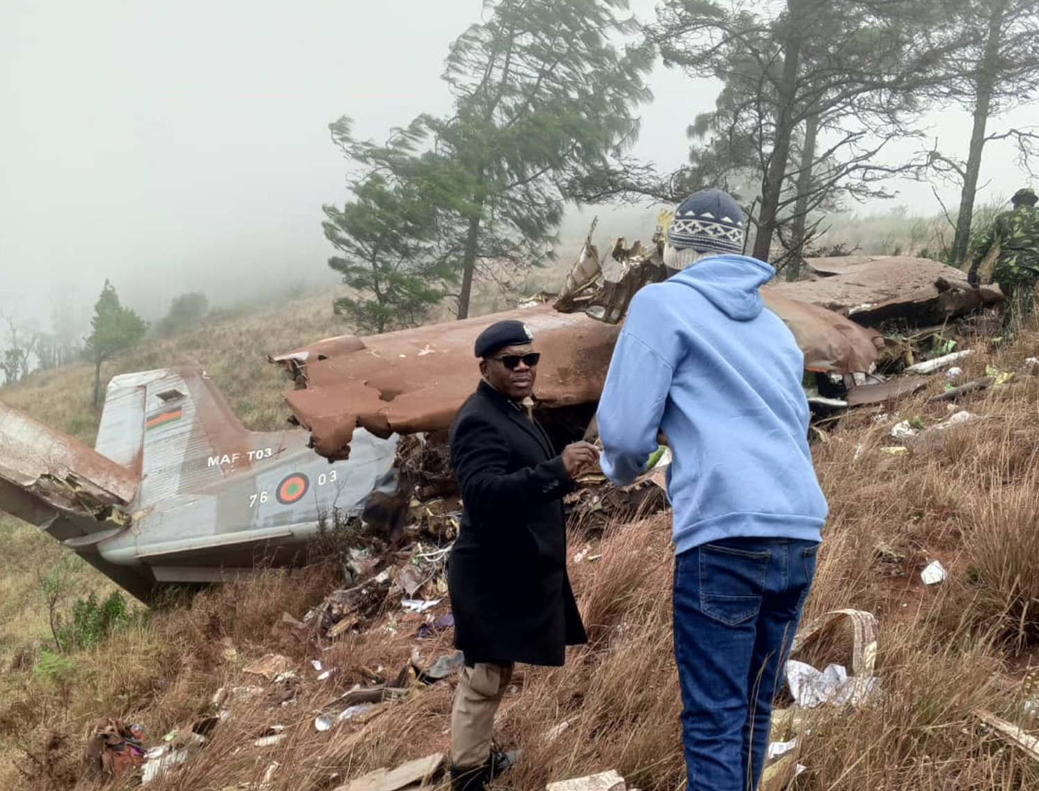
MAF-T03
Flight Phase:
Flight
Flight Type:
Military
Survivors:
No
Site:
Mountains
Schedule:
Lilongwe – Mzuzu
MSN:
8148
YOM:
1987
Country:
Malawi
Region:
Africa
Crew on board:
3
Crew fatalities:
3
Pax on board:
6
Pax fatalities:
6
Other fatalities:
0
Total fatalities:
9
Captain / Total hours on type:
2006
Copilot / Total hours on type:
472
Aircraft flight hours:
3492
Circumstances:
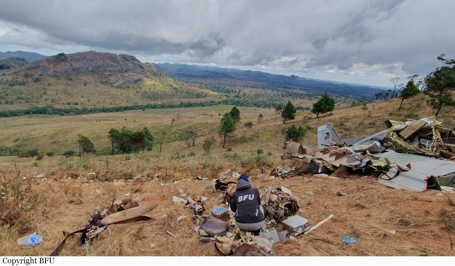
According to the Flight Information Officer of Mzuzu Airport, the flight crew arrived at 0600 hrs. The plan was to fly to Lilongwe-Kamuzu, pick up the Vice-president of the Republic of Malawi and five other passengers and bring them to Mzuzu. The GPS data showed that at 0704 hrs, the airplane took off from runway 35 and one minute later during climb it turned towards the south. According to the controller at Lilongwe-Kamuzu Airport, he received a telephone call from the Flight Information Officer at Mzuzu Airport shortly after take-off that the airplane will probably arrive at waypoint NALSA at 0731 hrs and estimated landing time at Lilongwe-Kamuzu Airport was 0748 hrs. At 0728 hrs, at Flight Level (FL) 100, the flight crew reported on Lilongwe Approach frequency with three crew members on board and fuel for a flight time of 02:30 hours, according to the controller’s statement. They said, arrival at waypoint NALSA would be at 0732 hrs and estimated landing time at 0748 hrs. The controller issued the clearances for a direct flight to the Non-Directional Beacon (NDB) KG and an ILS approach to runway 14 and communicated the weather information. At 0750 hrs, the airplane turned into the final approach of runway 14, landed two minutes later and taxied to parking position 5. The airplane was refuelled for the flight to Mzuzu and the later planned return flight. According to the air traffic service provider, the co-pilot had filed a flight plan for the flight to Mzuzu with the Crew Briefing Office of Lilongwe-Kamuzu Airport. In the flight plan she had given the estimate flight time to the arrival aerodrome with 00:50 hours and a maximum flight time of 04:00 hours. At 0905 hrs, the co-pilot reported via radio communications and requested departure information and three minutes later the engine start-up clearance. According to the controller, he had given the flight crew the en-route clearance for a direct flight to Mzuzu at FL90 and the departure clearance at 0912 hrs and communicated the transponder code 2772. At 0916 hrs, the airplane took off from runway 14 with three crew members and six passenger on board. The controller stated that the radar target of the airplane appeared on the monitor as it had reached about 4,800 ft AMSL. At 0917 hrs, in climb, the airplane began a left-hand turn, two minutes later the turn ended in a northern direction. According to the controller, the flight crew received the climb clearance to FL90. Later, the flight crew requested to maintain 7,000 ft AMSL. The GPS data showed that at about 0923 hrs, the airplane reached a cruise level of about 7,300 ft (GPS altitude). About one minute later, it passed the border of the airport control zone. The flight crew informed the controller that they would reach reporting point NALSA at 0932 hrs and the airport of destination at approximately 1005 hrs. The controller passed on this information by phone to the Flight Information Officer at Mzuzu Airport. At 0930 hrs, the controller cleared the flight crew to change frequency to 118.1 MHz. According to his statement, due to the low altitude, there was no radar contact at the time. According to the GPS data, the airplane was flying north and at 0932 hrs was 3 NM west of waypoint NALSA at about 7,500 ft. At 0937 hrs, it began to climb and within three minutes reached about 8,600 ft. At 0944 hrs, the airplane entered descent. At 0950 hrs, at about 1.5 NM north-west of the village Fumbawowa, it began to deviate. At 0952 hrs, during the left-hand turn, at about 5,500 ft, the airplane began to climb again. With a track of about 150°, the left-hand turn ended and the airplane turned right in a western direction and at 0955 hrs reached 8,100 ft, then began to descent again. At 0956 hrs, the aircraft flew a full left-hand turn, continued in a south-western direction and at 0958 hrs, it passed the settlement Bokosi Kunga. One minute later, it began to turn right and within one minute reached an eastern heading, then turned to a northeastern heading. Altitude decreased to about 5,400 ft (about 460 ft AGL). Approximately 2 NM south of a wood industry plant, the airplane turned left in climb to the north. Between 1006 hrs and 1009 hrs, about 3 NM north-west of Chikangawa City, the aircraft flew two full left turns with a radius of about 600 m. While doing so, it was between 500 ft and 200 ft AGL. From 1009 hrs on, the airplane continued the flight with various headings in a northeastern direction, descended to 185 ft AGL and then began to climb again. At 1012 hrs, it was about 25 NM south-west of Mzuzu Airport at about 7,000 ft (about 1,500 ft AGL). Two minutes later, it reached about 2,200 ft AGL. Then it turned in a northern direction and descended again. At 1015 hrs, it turned left in a north-western direction. Finally, it had a track of about 284° and at 1016 hrs, it impacted the ground. All nine occupants suffered fatal injuries and the airplane was destroyed. After a search of one day, the accident site was found. The Flight Information Officer at Mzuzu Airport stated that at the airport bad weather prevailed and the conditions continued to deteriorate. Since the flight crew had not reported in by 0950 hrs, he had contacted them by radio. Five minutes later, he had tried again, both attempts failed. At 1005 hrs, he had called Lilongwe Area Control Centre to have the estimated arrival time of the airplane confirmed again. At 1012 hrs, the flight crew had reported in on the Mzuzu Tower frequency and informed him that they were 20 NM away and intended an approach from the north. The Flight Information Officer communicated the weather information and that runway 17 was in use. He also informed them about his observation that east, south and west of the airport visibility was about 5 km. The flight crew had wanted to fly towards Ekwendeni to see if the weather conditions were better there. At 1017 hrs, he had contacted the flight crew by radio to find out about their altitude, but as with later attempts he did not receive any answer. Among the passengers was Dr. Saulos Klaus Chilima, Viuce President of the Republic of Malawi.
Probable cause:
Controlled flight into terrain.


