Date & Time:
Jun 3, 2022 at 1347 LT
Type of aircraft:
Cessna 208B Grand Caravan
Registration:
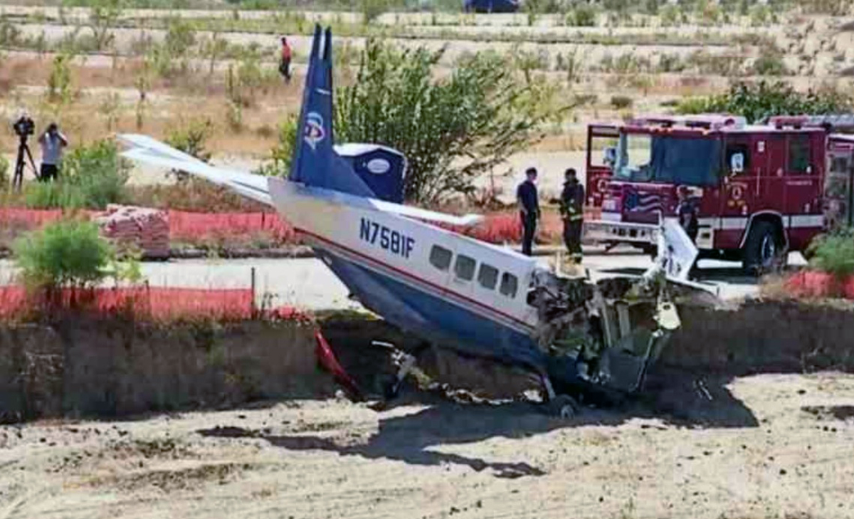
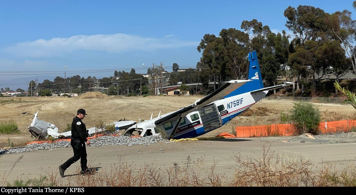
N7581F
Flight Phase:
Landing (descent or approach)
Flight Type:
Skydiving / Paratroopers
Survivors:
Yes
Schedule:
Oceanside - Oceanside
MSN:
208B-0389
YOM:
1994
Country:
United States of America
Region:
North America
Crew on board:
1
Crew fatalities:
0
Pax on board:
1
Pax fatalities:
1
Other fatalities:
0
Total fatalities:
1
Circumstances:
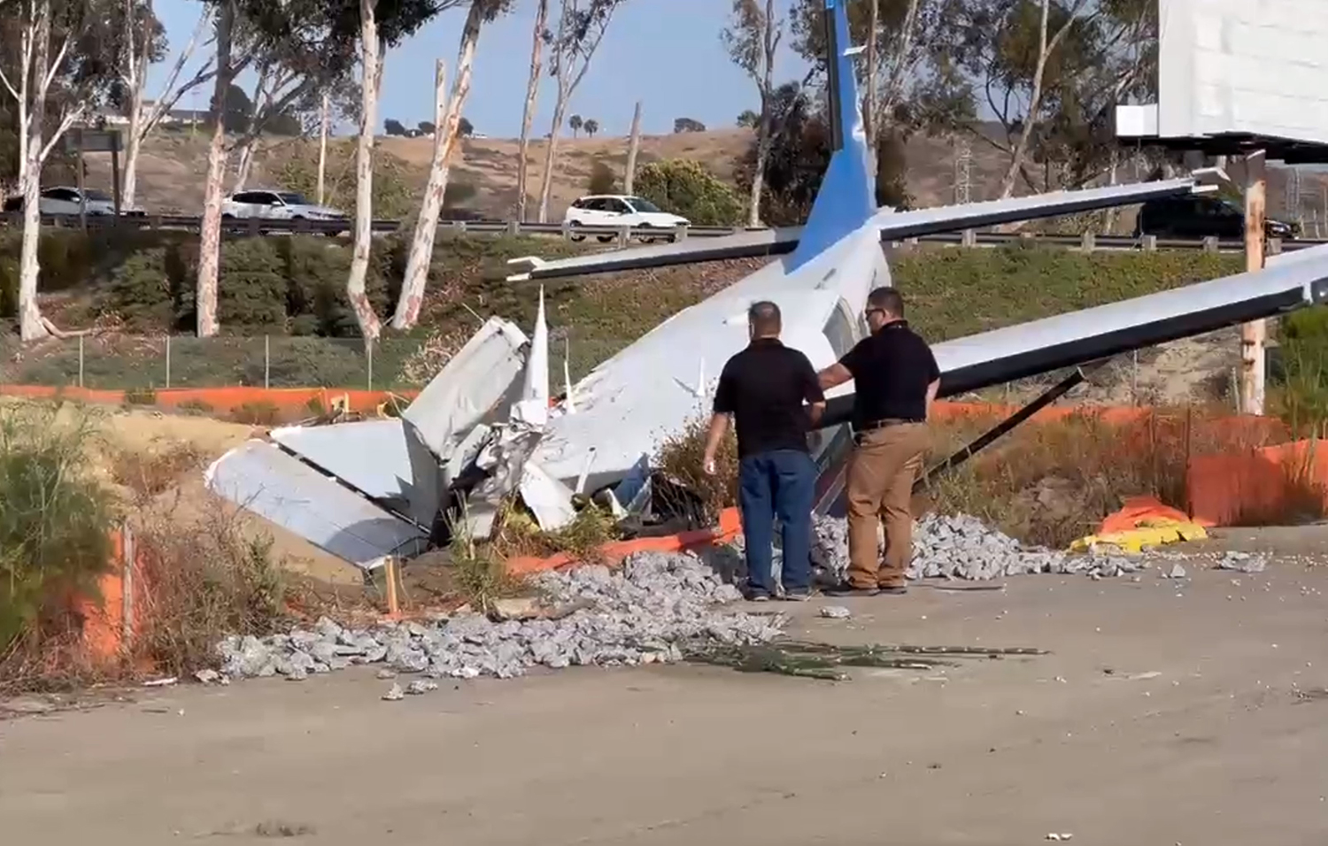
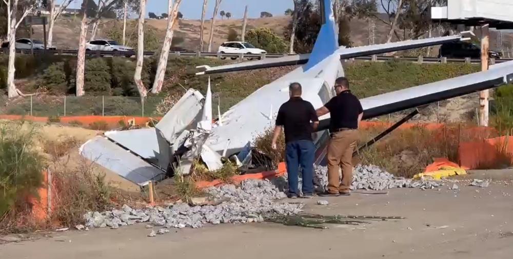
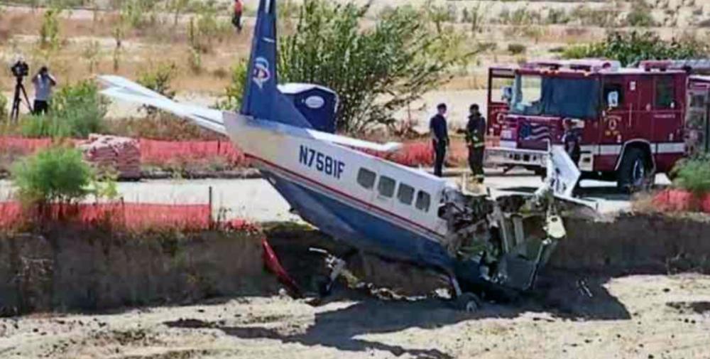
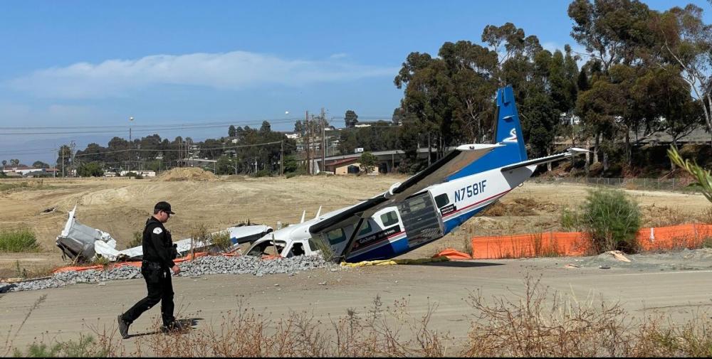
On June 03, 2022, about 1347 Pacific daylight time, a Cessna C208B Supervan 900 airplane, N7581F, was substantially damaged when it was involved in an accident near Bob Maxwell Memorial Airfield, Oceanside, California. The left-seated pilot was fatally injured and right seated pilot was seriously injured. The airplane was operated as a Title 14 Code of Federal Regulations (CFR) Part 91 skydiving flight. On the day of the accident, the pilots were performing skydiving flights while the right-seated pilot was training the left-seated pilot on the operation. A flight would consist of the pilots taking a group of approximately 17 skydivers to an altitude of about 11,500 feet mean sea level (msl) to jump out and then they would land back at the airport. The flights started about 1015 and were an average of 17 minutes in duration with about 15 minutes on the ground between each flight; the airplane’s engine was operating the entire duration. The pilots completed six flights without incident and departed on the accident flight at 1331. The right-seated pilot stated that he could not recall many of the details leading up to the accident. He remembered that on the accident flight everything was normal with the departure and the unloading of the skydivers. The airplane was descending as expected with the power at idle. As the airplane turned onto final approach, about 3 miles from the approach end of runway 25, the right-seated pilot attempted to increase the power by slightly nudging the throttle forward. He noticed that the engine power did not increase as expected and moved the throttle lever further forward. The lever was still unresponsive, and he estimated the airplane was about 400 ft above ground level (agl). He aimed for an open dirt field and observed a berm in the immediate flight path. In an effort to avoid the berm, the pilot maneuvered the airplane into a right turn.Investigators reviewed Federal Aviation Administration (FAA) provided Automatic Dependent Surveillance-Broadcast (ADS-B) flight track data covering the area of the accident during the time surrounding the accident. After departing from runway 25, the airplane made a gradual climb to 11,575 ft msl as it circled to the right, back to the airport. The airspeed was reduced (presumably to unload the skydivers) and then the airplane made a steep, turning decent reaching 133 kts when transitioning to the downwind leg of the traffic pattern. The airplane was at an altitude of about 2,400 ft msl and 2.6 nautical miles (nm) from the approach end of runway 25 when it turned onto final approach. When the airplane was about 2 nm from the runway, it made a 360° right turn which was about 0.5 nm in diameter. At 1346:10, about 1,025 ft msl, the airplane rolled out of the 360° turn and continue west toward the runway. The airplane was roughly following Highway 76 making a gradual decent (see Figure 2 below). About 33 seconds later the airplane’s speed dropped to 92 kts as it passed through 500 ft msl. The last recorded hit was at 1347:10 and located about 975 feet east of the accident site. At that time, the data indicated that the airplane was at 100 msl (equivalent to 60 feet above ground level) at a speed of 68 kts. Witness stated that they observed the airplane flying at a very low altitude (see Figure 3). The airplane then pitched down in a nose-low attitude and bank to the right. The airplane impacted terrain and collided with the side of a berm.
